Tag Archives: trail

Natural Bridges National Monument

Natural Bridges National Monument

Utah

Managed by National Park Service

Established 1908

7,636 acres

Website: nps.gov/nabr

Overview

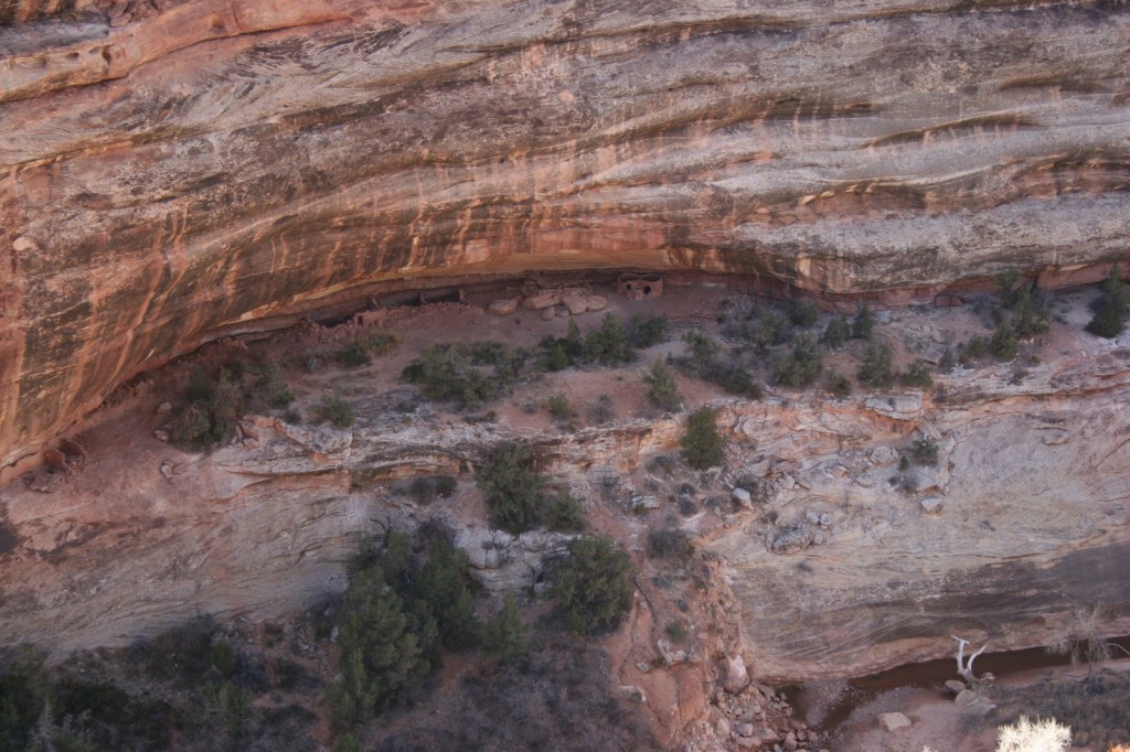
South of Canyonlands National Park is isolated Natural Bridges National Monument.  First established by President Theodore Roosevelt in 1908, it was not accessible by road until uranium mining developed this part of Utah in the 1950s.  As you may recall from our post on Arches National Park, bridges are created by flowing water, unlike arches that are primarily carved by wind.

Know someone who loves exploring new National Monuments? Gift them our book Monumental America: Your Guide to All 138 National Monuments that is available for sale on Amazon.com.

Highlights

3 huge natural bridges, scenic views, ruins, hiking, stargazing

Must-Do Activity

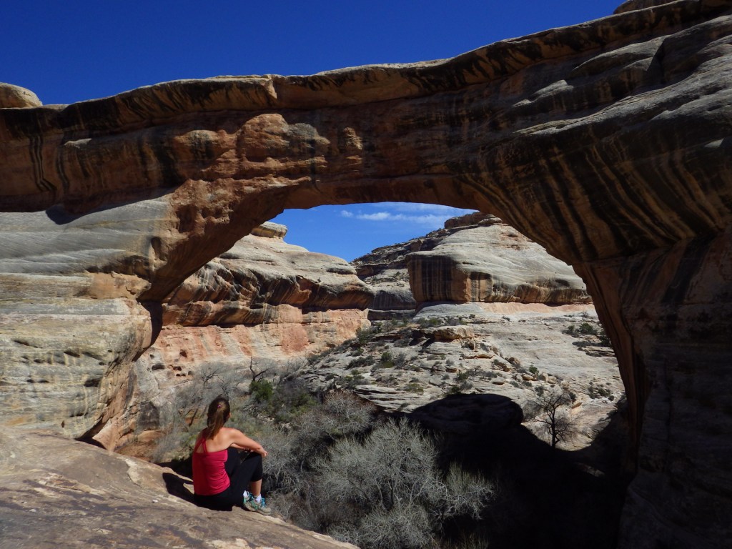
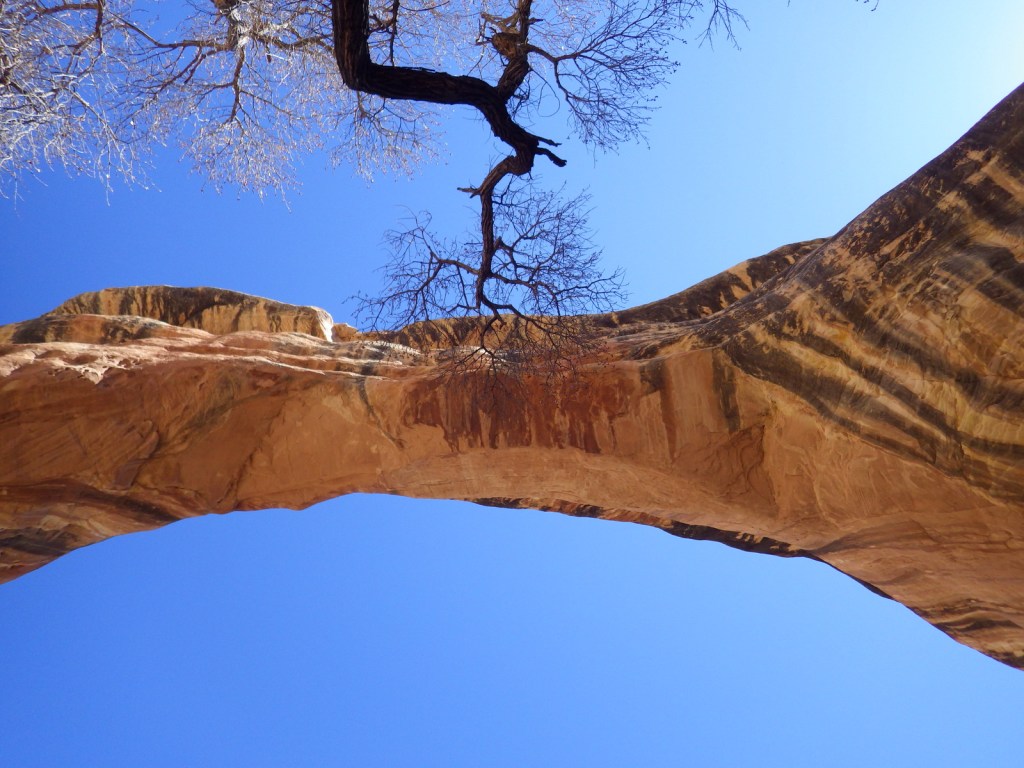
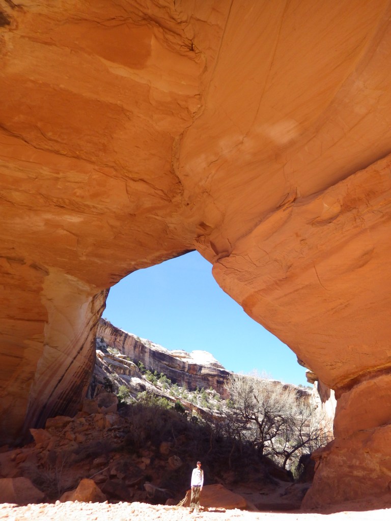
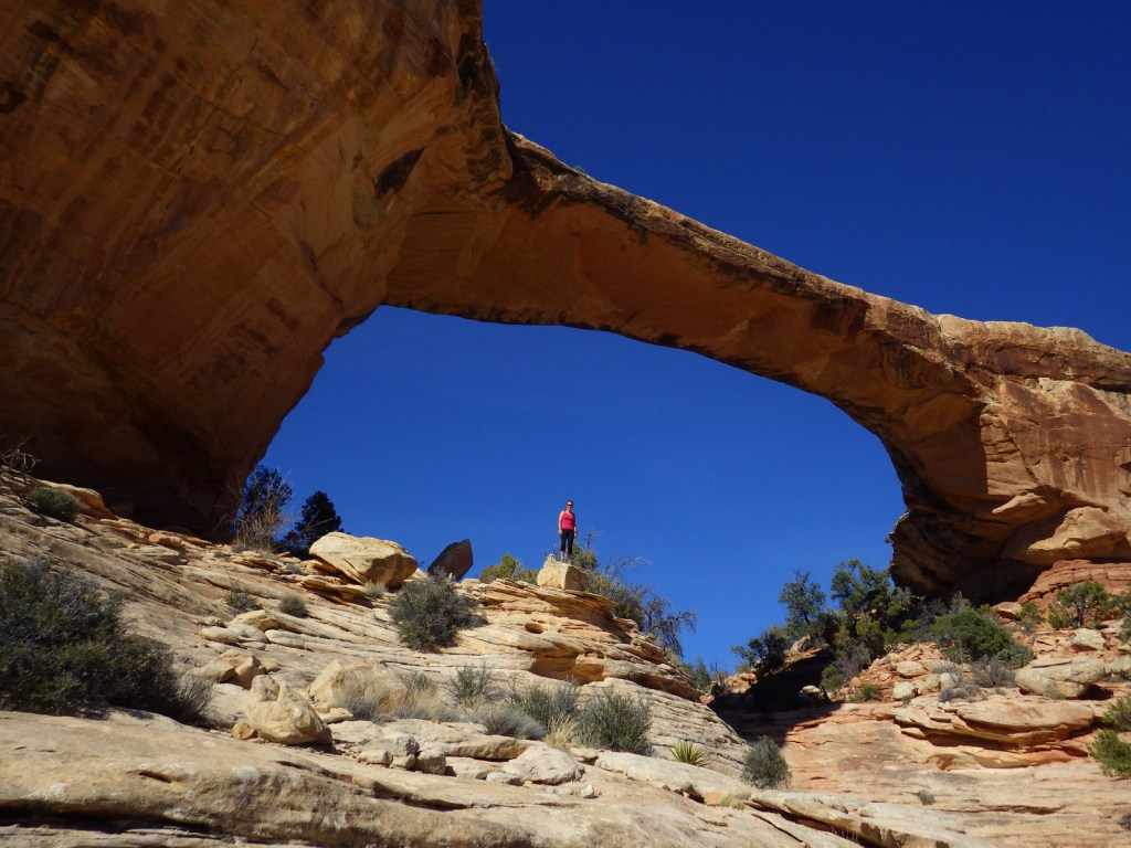
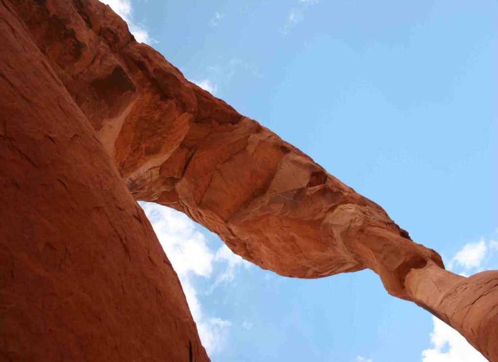
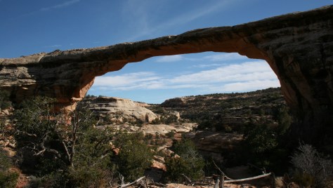
The monument is home to 220-foot tall Sipapu Bridge, which is second only to Glen Canyon’s Rainbow Bridge as the largest in the world.  Kachina Bridge, at 210 feet and growing, may catch up to it someday.  Perhaps the most visually striking of the three standing bridges is the 180-foot span of Owachomo Bridge that is only nine feet thick at its center.  Handicap accessible overlooks are available along Bridge View Drive.

Best Trail

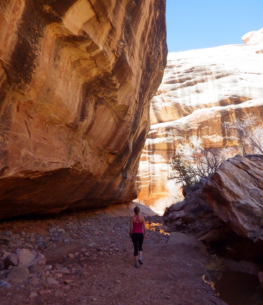
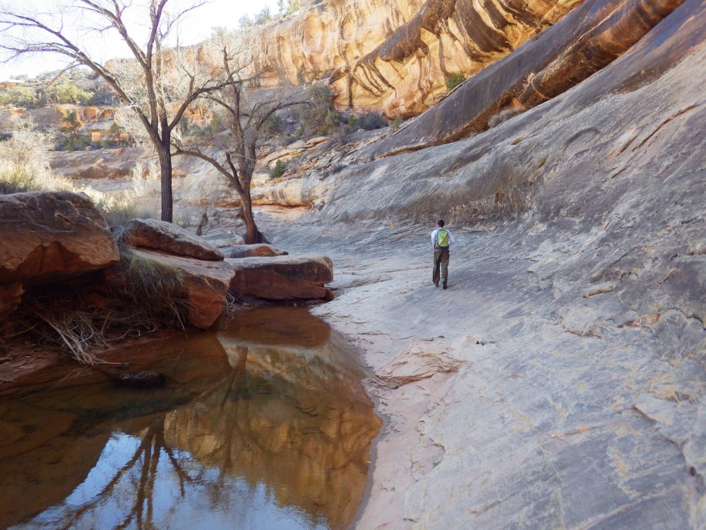
A nine-mile loop hike connects all three natural bridges, which are also accessible by shorter trails from the rim drive.  Do not attempt this rugged trek if you are not prepared; it is a rocky canyon bottom at high elevation with little shade.

Instagram-worthy Photo

Owachomo Bridge is the oldest of the three standing natural bridges in the National Monument.
Peak Season

Summer

Hours

https://www.nps.gov/nabr/planyourvisit/hours.htm

Fees

$20 per vehicle or America the Beautiful pass

Road Conditions

All roads paved

Camping

The secluded nature of this region and its elevation of 6,500 feet were factors in naming it the first International Dark Sky Park in 2007.  If you make it out this far, you might want to spend the night under the stars at the campground.

Related Sites

Rainbow Bridge National Monument (Utah)

Bryce Canyon National Park (Utah)

Capitol Reef National Park (Utah)

Nearest National Park
Canyonlands

Explore More – In 1992, how many tons of rock fell from Kachina Bridge (the youngest of the three)?

Learn more about the other 137 National Monuments in our book Monumental America: Your Guide to All 138 National Monuments

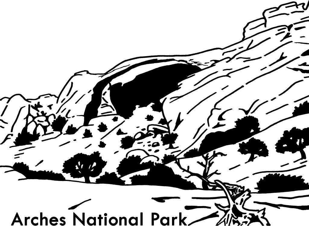
Arches National Park

Overview

Arches National Park in Moab, Utah is home to 2,500 wind-carved holes in its famed orange sandstone, ranging in size from a minimum of three feet to 290-foot wide Landscape Arch (the fifth longest span in the world).  As opposed to natural bridges which are carved by flowing water, arches are primarily wind formed, although water and ice can contribute. 

Learn more in our guidebook to the National Parks, A Park to Yourself: Finding Adventure in America’s National Parks (available on Amazon).

Highlights

Delicate Arch, Balanced Rock, Landscape Arch, Fiery Furnace, Devils Garden Trail

Must-Do Activity

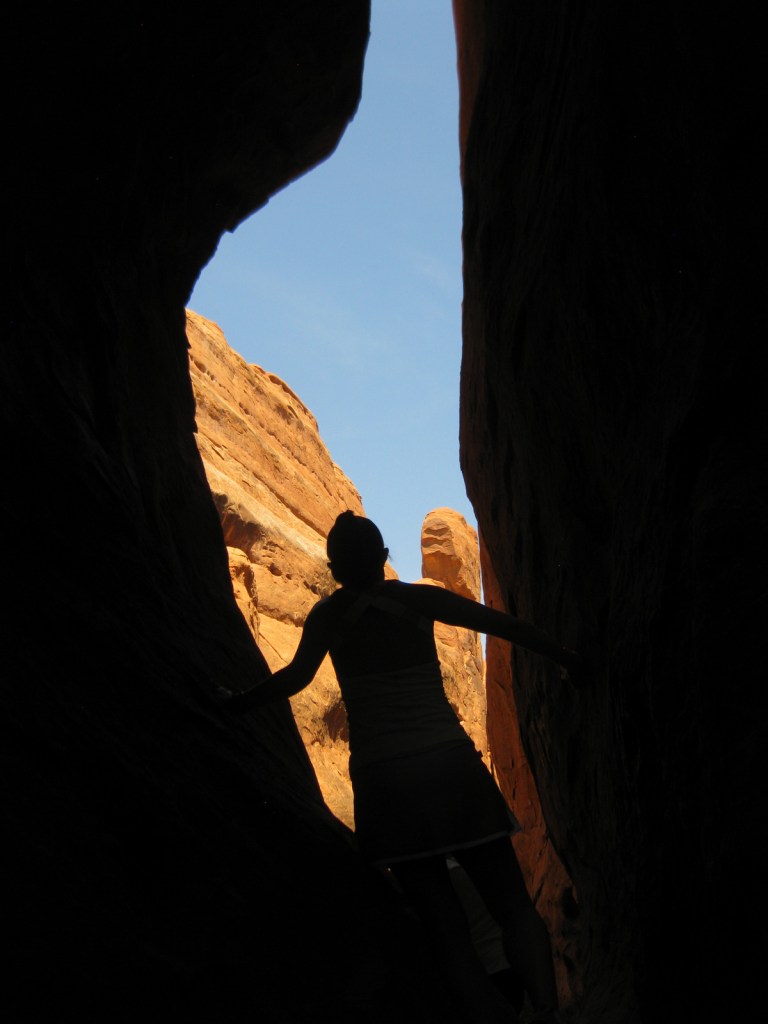
We recommend you reserve a spot on a ranger led hike through the twisting labyrinth of Fiery Furnace (additional fee).  You can get a permit to go alone, but we are glad we had a guide or we might still be trying to find our way out.  The beautiful red rocks really show their color at sunrise and sunset, so find a nice place to watch the show when you come.  As depicted on the state license plate for Utah, Delicate Arch is a popular venue for sunsets.

Best Trail

When the crowds in the park overwhelm you, take the easy 8.3-mile drive down dirt Salt Valley Road to the trailhead for less visited Tower Arch.  Seeing Tower Arch is worth the strenuous 3.4-mile roundtrip hike, but it can be hard to photograph.

Instagram-worthy Photo

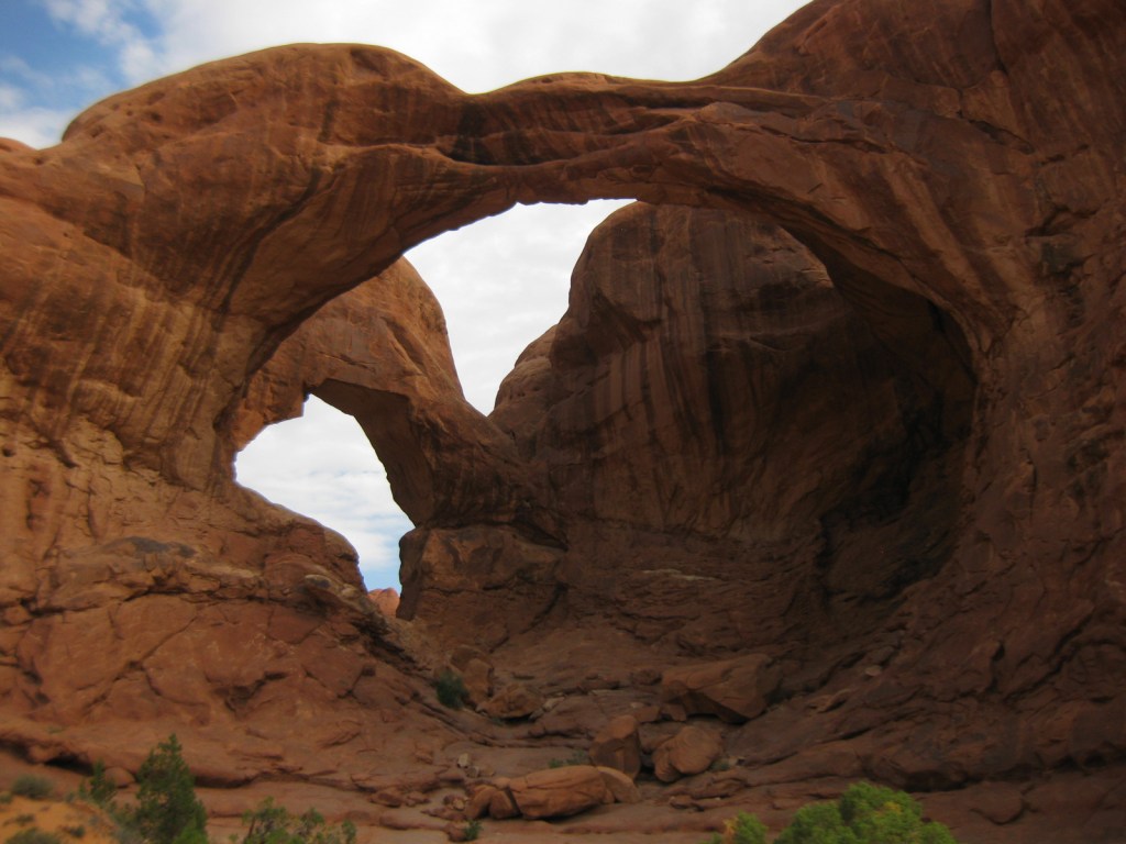
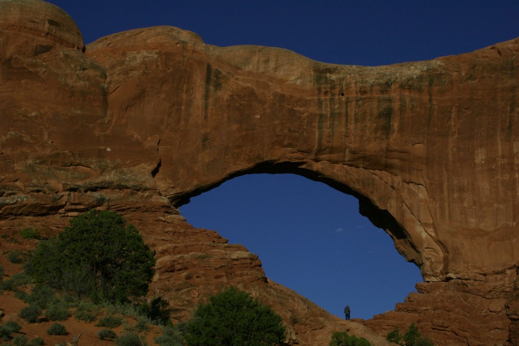
Double Arch is located near the North and South Windows and photographs well in the late afternoon.

Peak Season

Spring and fall

Hours

https://www.nps.gov/arch/planyourvisit/hours.htm

Fees

$30 per vehicle or America the Beautiful pass

Road Conditions

The main road that dead ends at Devils Garden is paved, but there are some dirt roads in the park that require four-wheel-drive, high-clearance vehicles.

Camping

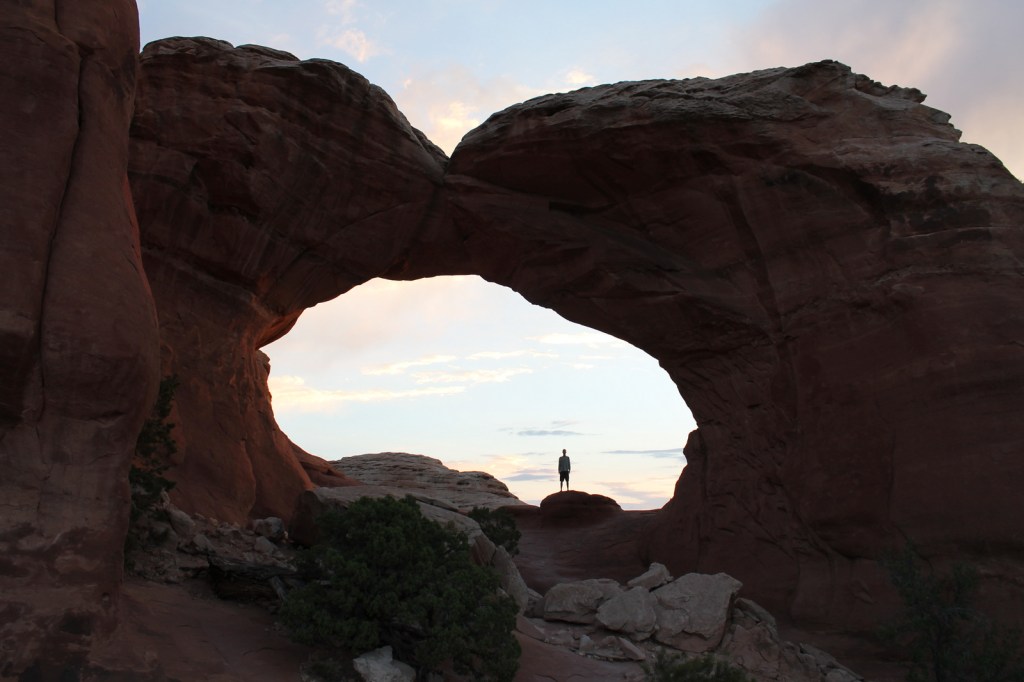
Devils Garden Campground is a great place to spend the night, with easy trail access to Broken Arch and Sand Dune Arch.  The public land around Moab under the jurisdiction of the Bureau of Land Management is often overrun by dispersed campers.

Related Sites

Canyonlands National Park (Utah)

Natural Bridges National Monument (Utah)

Capitol Reef National Park (Utah)

This design we created to celebrate Joshua Tree National Park is available on a variety of products at Cafe Press and Amazon.

Explore More – At 290 feet, Landscape Arch is the fifth longest span in the world; what country contains the four larger arches?

We are a participant in the Amazon Services LLC Associates Program, an affiliate advertising program designed to provide a means for us to earn fees by linking to Amazon.com and affiliated sites.

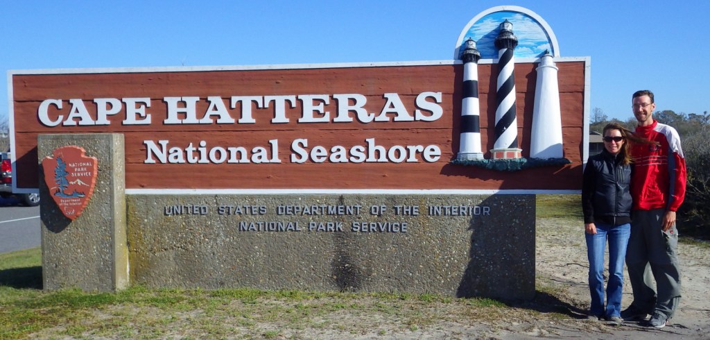
Cape Hatteras National Seashore

Overview

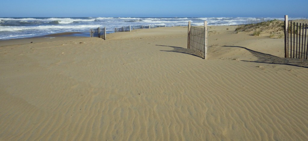
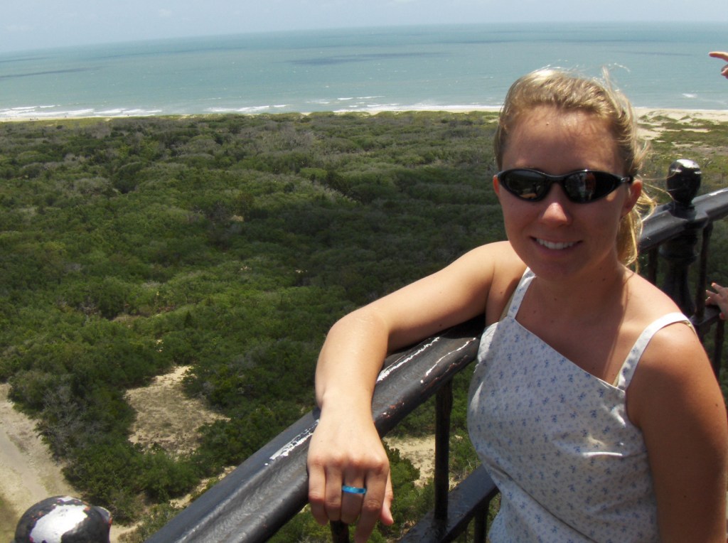
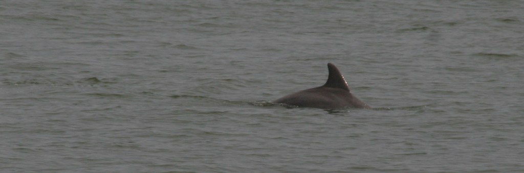
The Outer Banks of North Carolina have sparked the imaginations of travelers ever since British colonists landed here in 1585.  If you are seeking undeveloped beaches that have changed little over the centuries then this is the place to go.  The 70 miles of barrier islands protected as Cape Hatteras National Seashore are interrupted only by small seaside villages and one long section by Pea Island National Wildlife Refuge.  Bodie Island and Hatteras Island are connected by bridges, but Ocracoke Island is only accessible by ferry.

Highlights

1870 Cape Hatteras Lighthouse, 1872 Bodie Island Lighthouse, Ocracoke Island Campground, beaches

Must-Do Activity

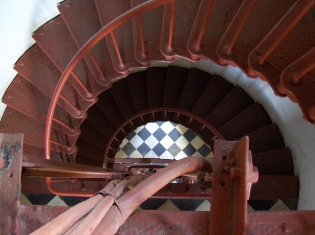
The main National Park Service (NPS) visitor center is located at iconic Cape Hatteras Lighthouse where you can learn about shipwrecks, pirates, and the monumental effort to move the 208-foot tall brick structure in 1999.  Further down Highway 12, pick up a free ferry to Ocracoke Island, a renowned vacation destination.  Several campgrounds are found along the seashore, including one on Ocracoke.  Since this remote strip of sand is not easy to get to, you will want to spend at least a night or two.

Best Trail

Walking the beach and collecting seashells is the most popular diversion, but there are also the Hammock Hills Nature Trail on Ocracoke Island and Buxton Woods Nature Trail on Hatteras Island.

Instagram-worthy Photo

Ocracoke Lighthouse is the oldest operating lighthouse in North Carolina, dating back to 1823, but it is not open to enter inside.

Peak Season

Summer

Hours

https://www.nps.gov/caha/planyourvisit/hours.htm

Fees

None, except a fee is charged to climb Bodie Island and Cape Hatteras Lighthouses

Road Conditions

All main roads are paved and there are designated access points to drive on the beach.
Camping

There are four NPS campgrounds and they all take reservations.

Related Sites

Cape Lookout National Seashore (North Carolina)

Fort Raleigh National Historic Site (North Carolina)

Wright Brothers National Memorial (North Carolina)

Explore More – The Outer Banks are known as the “Graveyard of the Atlantic,” so how many shipwrecks have been recorded in this area?

Charles Pinckney National Historic Site

Overview

North of Charleston, South Carolina near Fort Moultrie is a National Park Service (NPS) site dedicated to preserving the memory of one of the forgotten framers of the U.S. Constitution.  Charles Pinckney served as an officer during the American Revolution and a delegate to the 1787 Constitutional Convention in Philadelphia.  Before his death in 1824, he would go on to be four-term Governor of South Carolina, ambassador to Spain, and member of both the U.S. Senate and House of Representatives.

Highlights

Museum, historic home, nature trail

Must-Do Activity

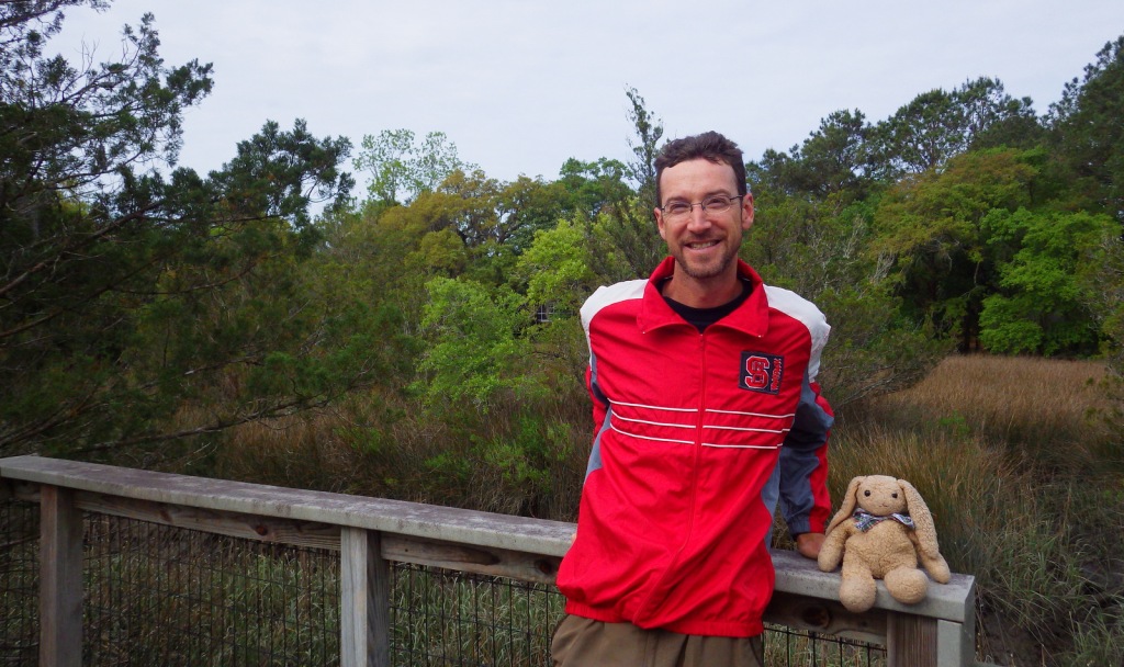
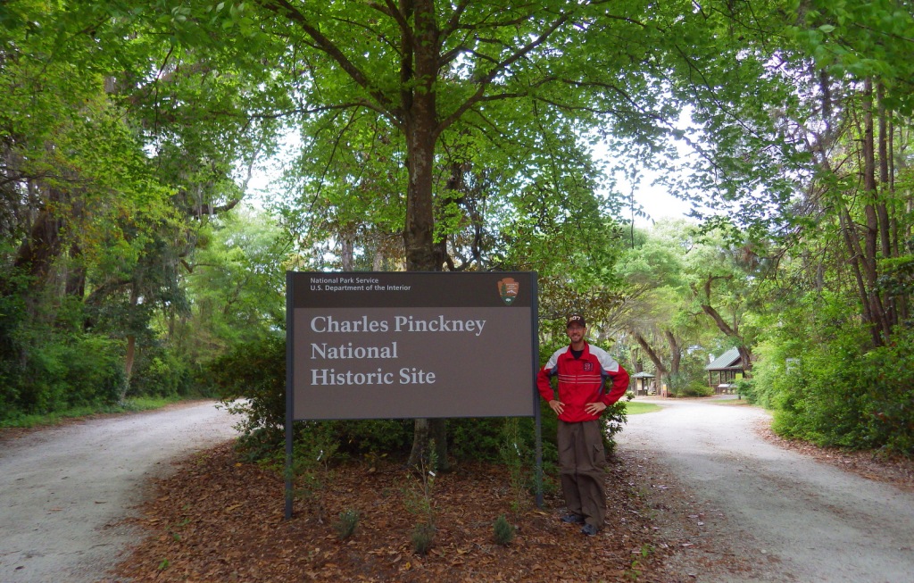
The low-country cottage that serves as the NPS visitor center and museum was built in 1828, probably on top of the foundation for the Pinckney’s plantation house.  It is filled with artifacts and information on the Pinckney family and their slaves that farmed rice and indigo.  The NPS rangers were very welcoming to us here when we visited during our Pretirement year in 2016.  This site is free to visit and located across from the well-known Boone Hall Plantation (admission charged).

Best Trail

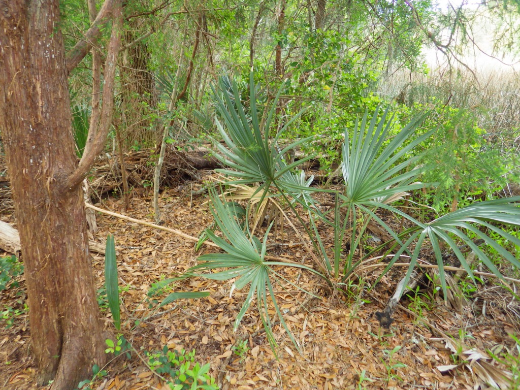
A short trail leads to an overlook of the tidal river area, but watch out for poison-ivy and ticks.

Instagram-worthy Photo

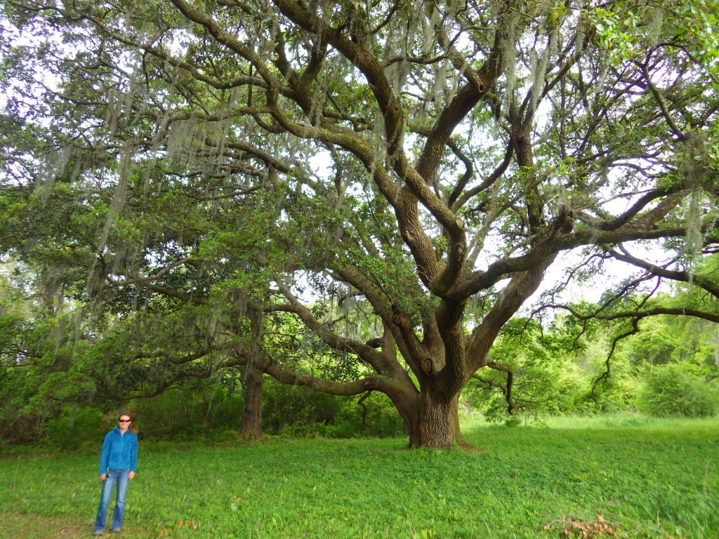
The live oak trees growing on the property are beautiful with twisting branches draped in Spanish moss.

Peak Season

Summer

Hours

https://www.nps.gov/chpi/planyourvisit/hours.htm

Fees

None

Road Conditions

The access roads are paved except for the last part on NPS property which is well-packed sand and gravel.

Camping

No camping at the site, but there are options outside Charleston in Francis Marion National Forest.

Related Sites

Fort Sumter and Fort Moultrie National Historical Park (South Carolina)

Reconstruction Era National Monument (South Carolina)

Ninety Six National Historic Site (South Carolina)

Explore More – The NPS property is only 28 acres of the original 715-acre Snee Farm, part of the original royal land grant given to Richard Butler in what year?

Channel Islands National Park

Overview

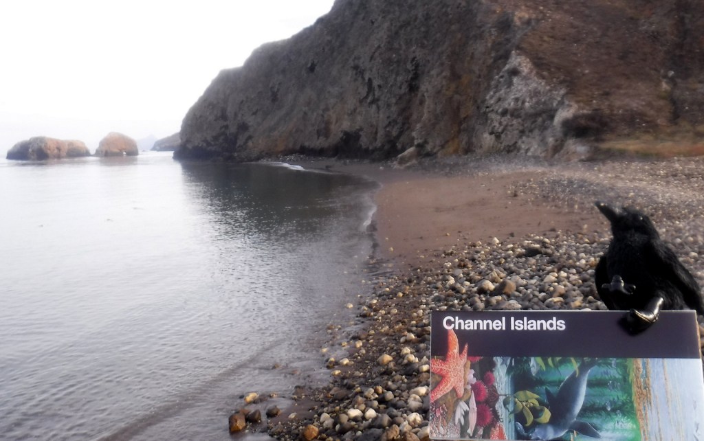
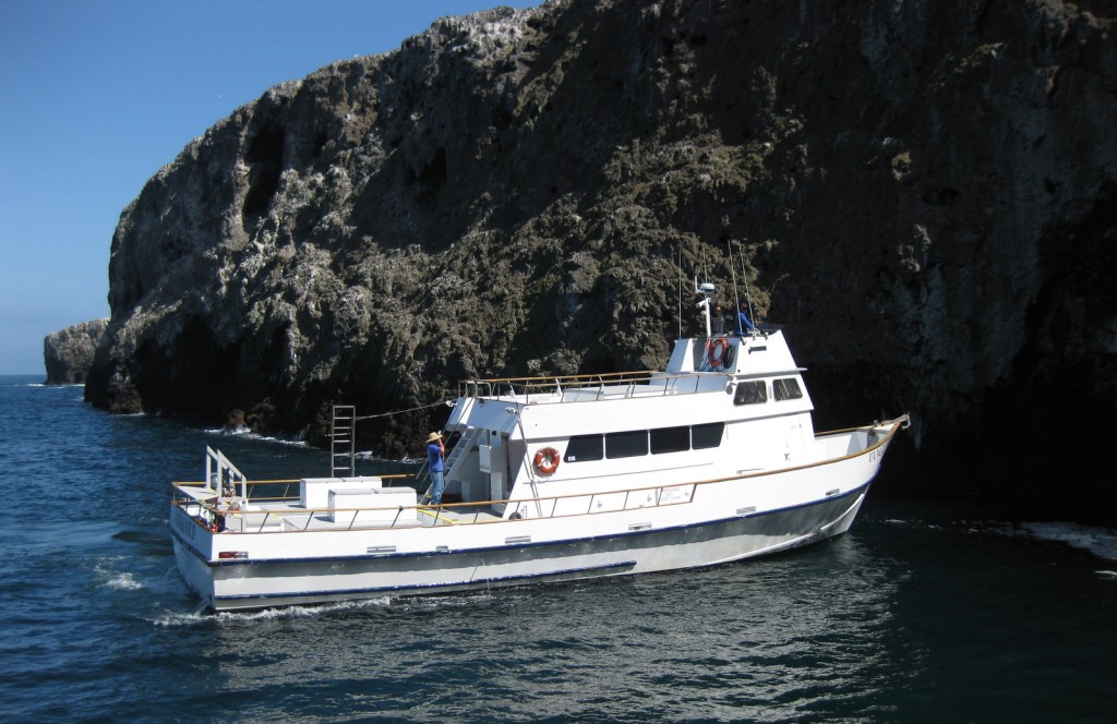
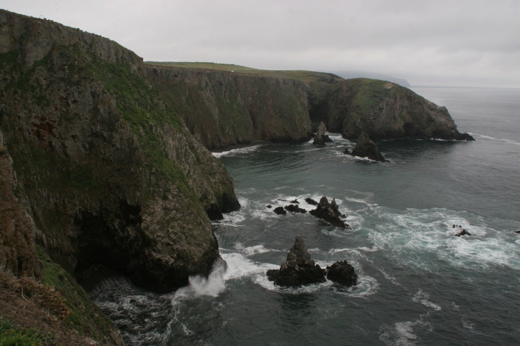
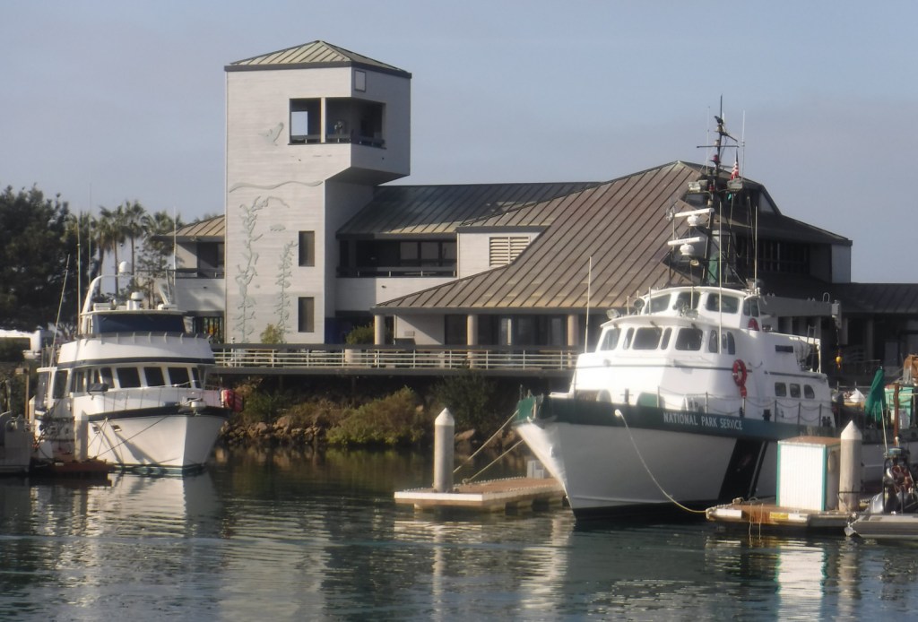
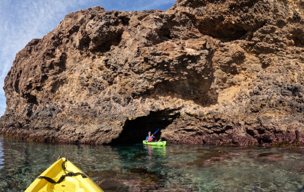
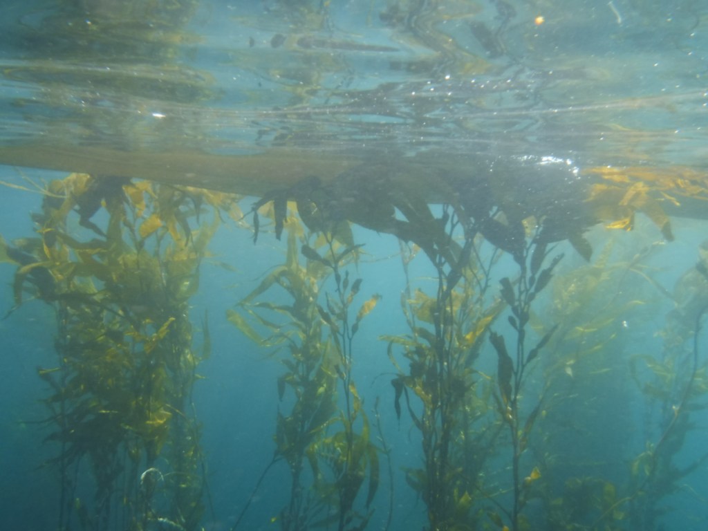
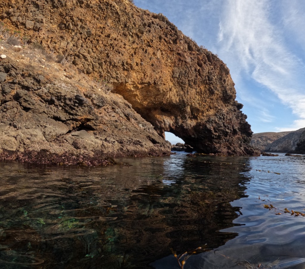
Off the coast of Ventura, California a rugged archipelago is protected as Channel Islands National Park.  There is an airplane landing strip on Santa Rosa Island, but most visitors arrive to the five accessible islands by ferry.  Often referred to as the “Galapagos Islands of California,” the biodiverse kelp beds are popular with scuba divers and the sea caves attract kayakers.

Learn more in our guidebook to the National Parks, A Park to Yourself: Finding Adventure in America’s National Parks (available on Amazon).

Highlights

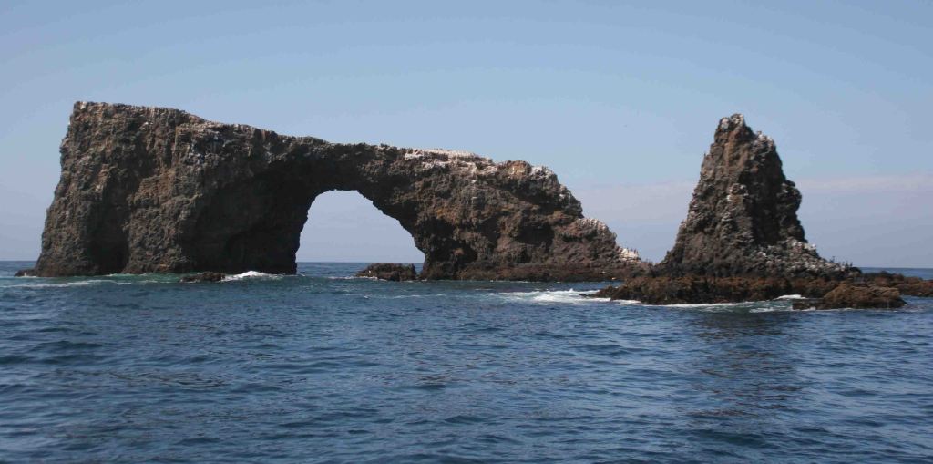
Anacapa Island, Inspiration Point, Arch Rock, wildlife

Must-Do Activity

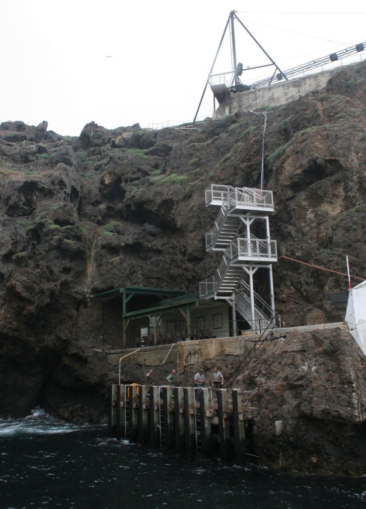
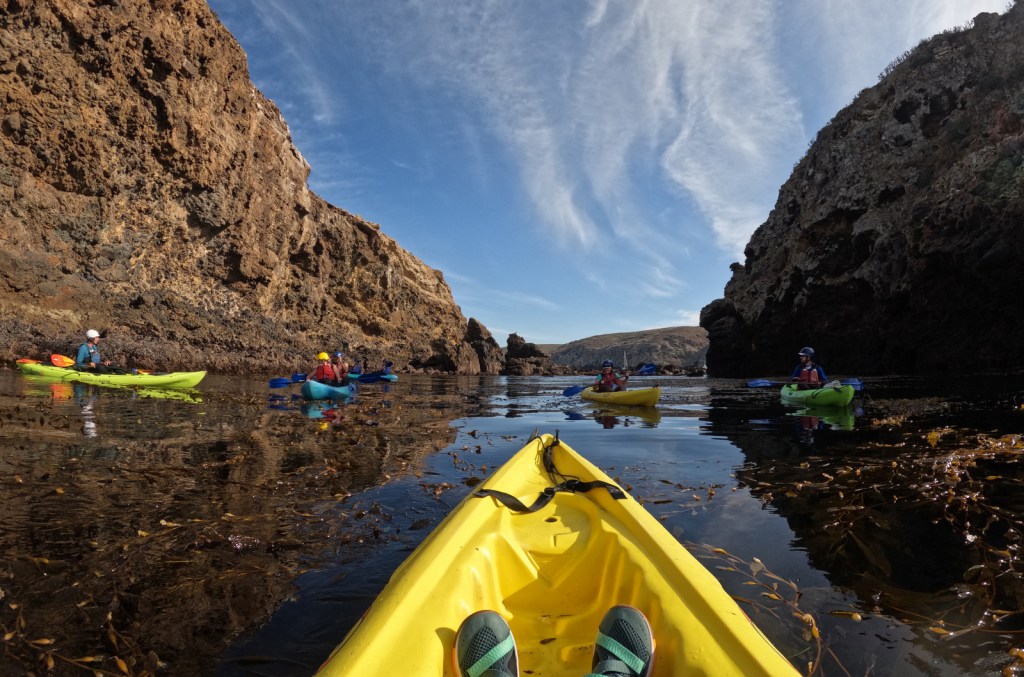
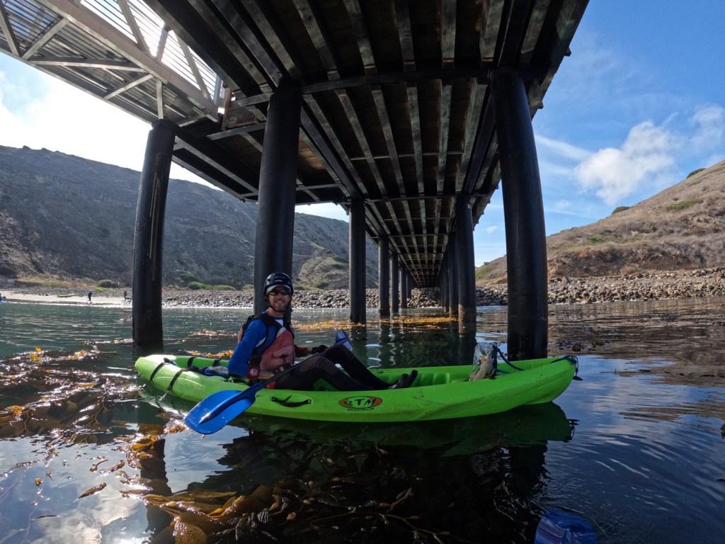
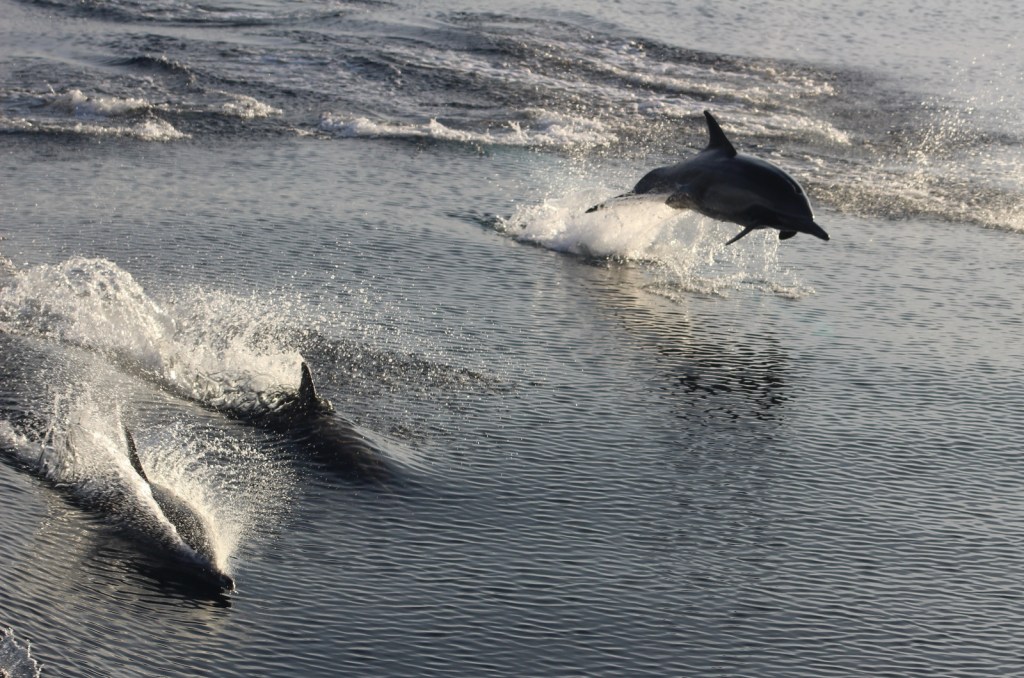
Most visitors arrive by boat, with the majority taking a day trip to tiny Anacapa Island, which you can walk all the way around in about an hour.  The ferry ride is exciting in and of itself with gray whale watching, a close swing by Arch Rock, and an unforgettable landing at a dock where it is far too rough to tie up.  If you want the chance to see an amazing sunset and sunrise, you have to overnight on one of the five islands (see Camping below). We also highly recommend the kayaking tour of the sea caves on Santa Cruz Island.

Best Trail

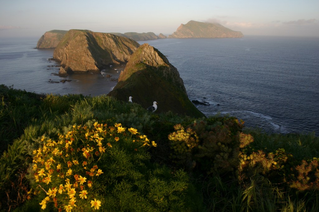
On Anacapa Island, a 1.5-mile loop trail leads around the perimeter and accesses iconic Inspiration Point.  There are many miles of trails on Santa Barbara, Santa Rosa, San Miguel, and Santa Cruz Islands (and all have designated campsites).

Instagram-worthy Photo

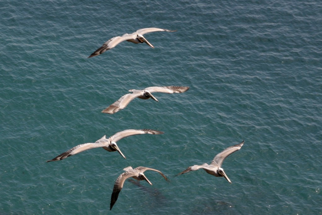
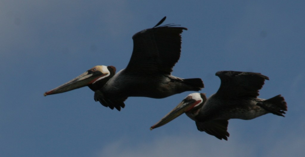
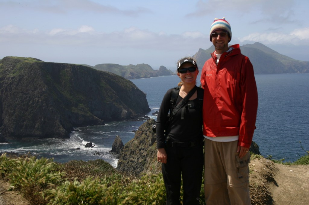
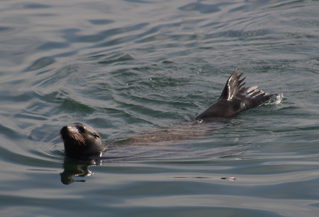
From atop Anacapa Island’s steep cliffs, we watched swimming sea lions warm their flippers in the air and flying brown pelicans catch thermals below where we stood. 

Peak Season

Summer

Hours

https://www.nps.gov/chis/planyourvisit/hours.htm

Fees

There is no entry fee, but reservations are required for all overnight camping ($15 per night) and ferry prices vary by island.

Road Conditions

No roads

Camping

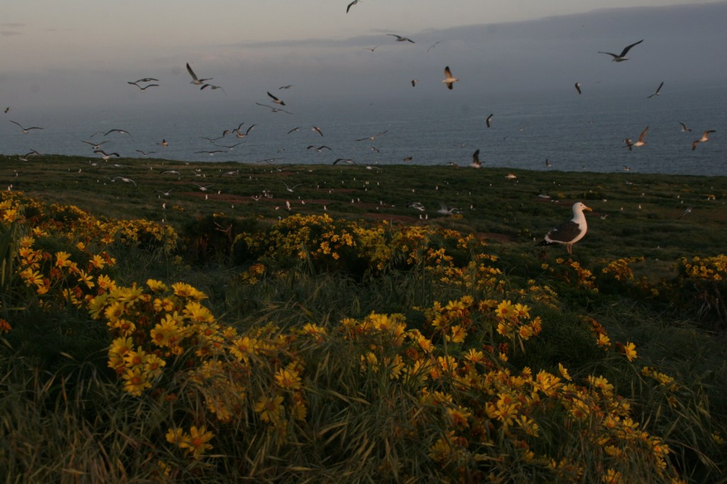
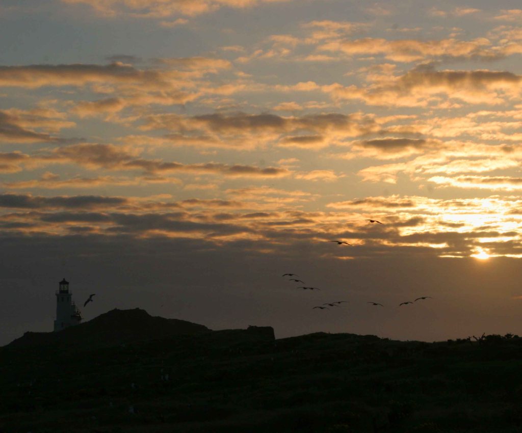
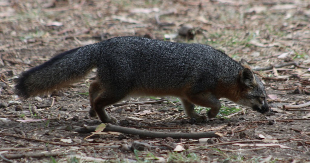
A few years ago, we stayed at the tiny backcountry campground (with no water available) on Anacapa Island in early April when the giant coreopsis flowers were completing their spectacular blooming period.  It was a noisy night since the island is a rookery for thousands of western gulls, plus the lighthouse’s foghorn rumbles out a warning four times per minute. There is a large campground near the dock on Santa Cruz Island frequented by endangered island foxes.

Related Sites

Point Reyes National Seashore (California)

Santa Monica Mountains National Recreation Area (California)

Cabrillo National Monument (California)

This design we created to celebrate Joshua Tree National Park is available on a variety of products at Cafe Press and Amazon.

Explore More – The largest in the archipelago, Santa Cruz Island is 62,000 acres and 76% owned by which non-profit organization?

We are a participant in the Amazon Services LLC Associates Program, an affiliate advertising program designed to provide a means for us to earn fees by linking to Amazon.com and affiliated sites.