Tag Archives: ferry

Isle Royale National Park

Isle Royale National Park

Michigan

Managed by National Park Service

Established 1940

571,790 acres

Website: nps.gov/isro

Overview

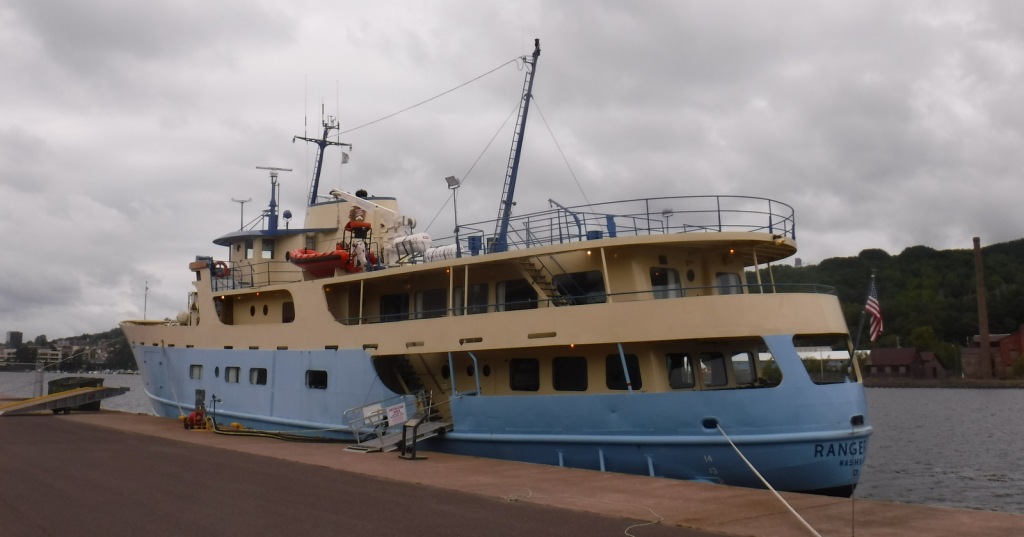
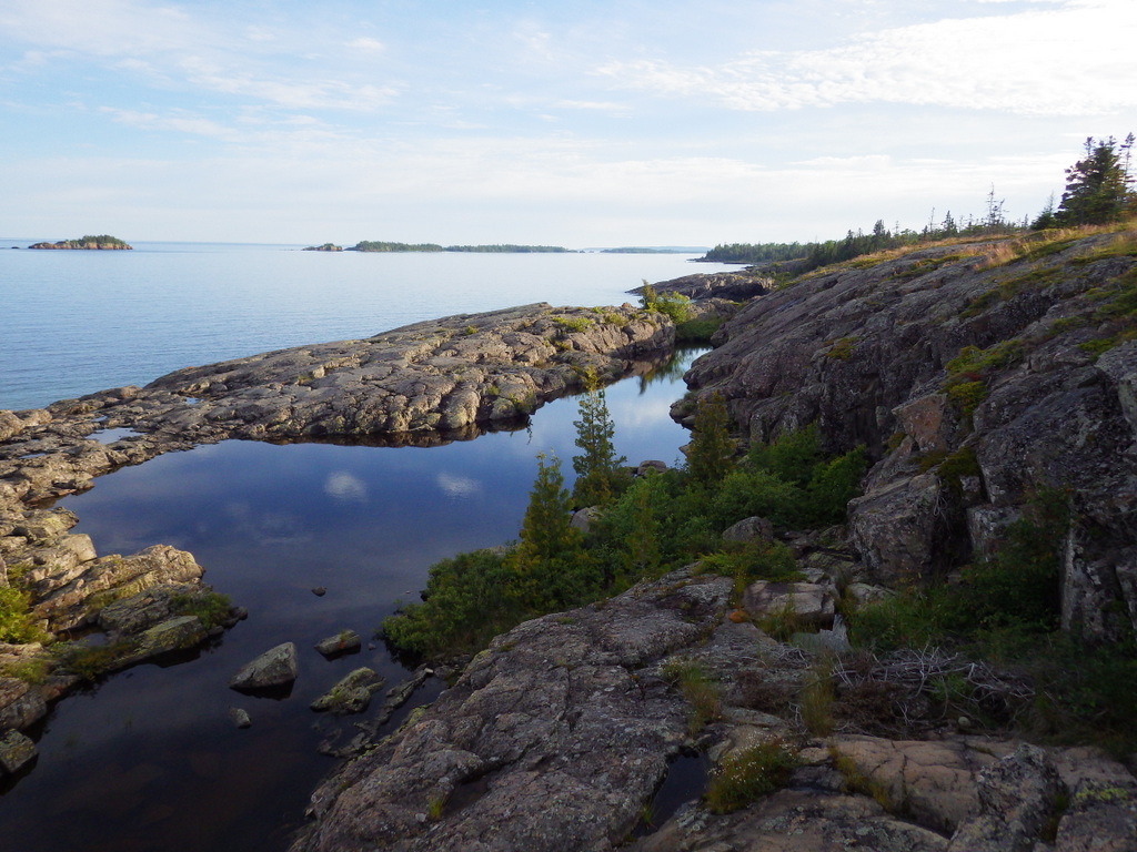
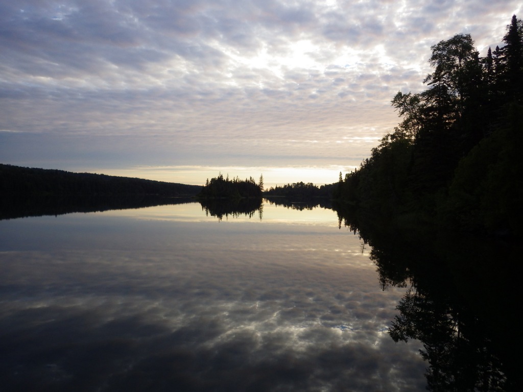
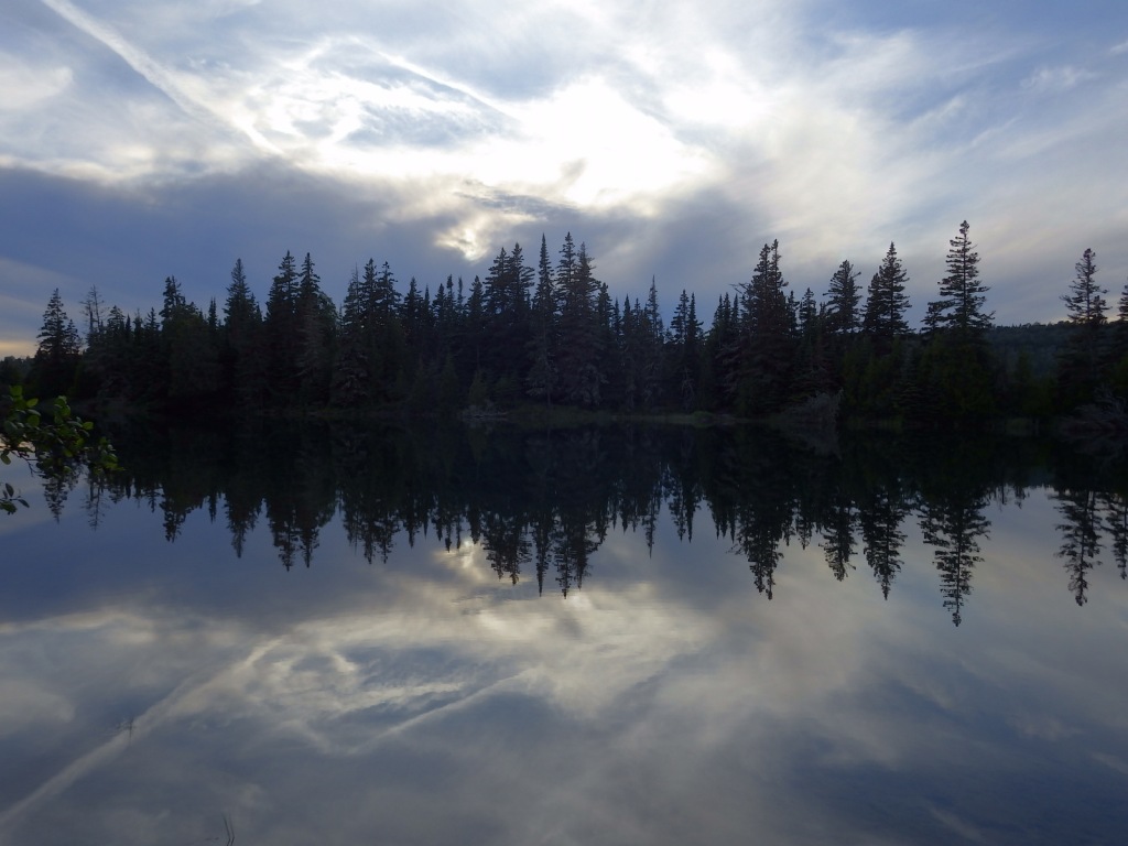
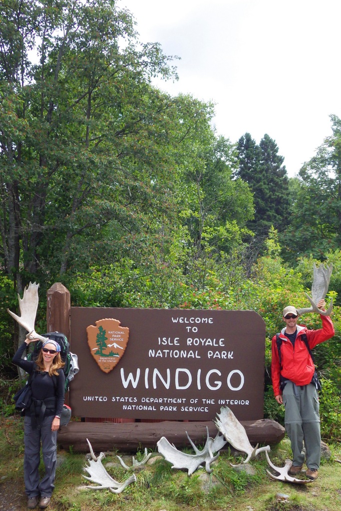
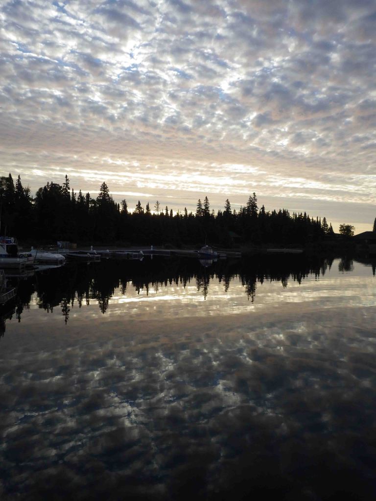
Surrounded by Lake Superior, Isle Royale is 45 miles long and nearer to Canada’s shores than it is to the rest of the United States.  Long ferry boat rides with short layovers make this a difficult National Park to see on a daytrip, so the average stay for visitors is 3.5 days.  The main access points are the ferry docks at Windigo in the west and Rock Harbor (which has a lodge) in the east. 

Learn more in the expanded 2nd edition of our guidebook to the National Parks— A Park to Yourself: Finding Solitude in America’s 63 National Parks.
Highlights

Rock Harbor, Suzy’s Cave, Scoville Point, Windigo, Minong Ridge Trail, Greenstone Ridge Trail

Must-Do Activity

Hiking is the main activity at Rock Harbor and popular destinations include Scoville Point (5 miles roundtrip), 1,080-foot tall Mount Franklin (4 miles), and a water-carved arch called Suzy’s Cave (4 miles).  From June to early-September, boat tours leave from the the marina to visit Rock Harbor Lighthouse, Edisen Fishery, Raspberry Island, Hidden Lake Trailhead, and Passage Island Lighthouse.  Kayak and canoe rentals are also available at Rock Harbor Marina.

Best Trail

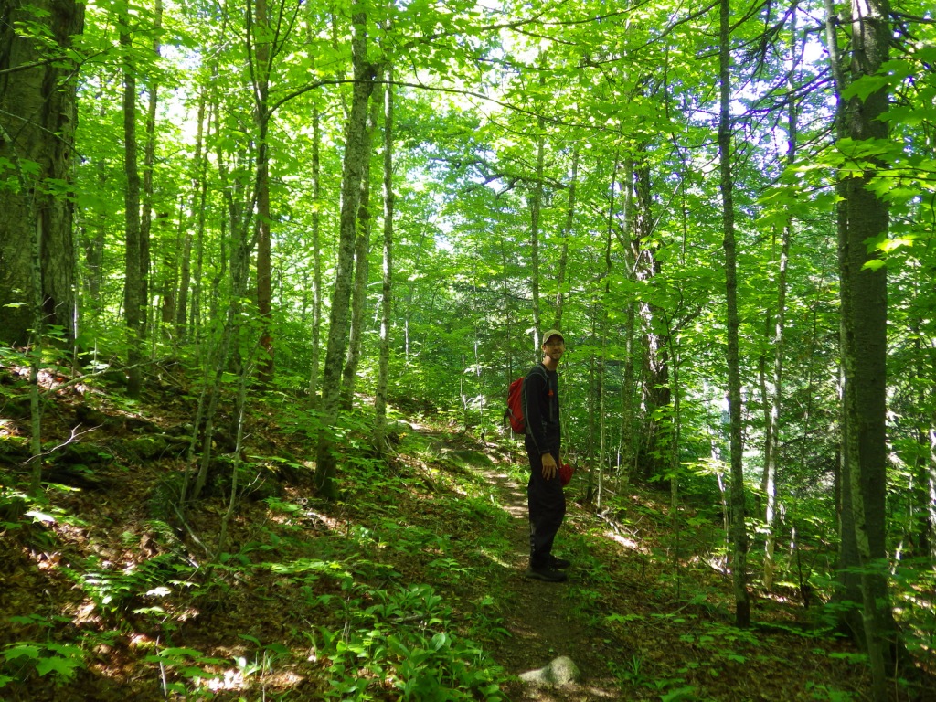
Since 99% of the park is designated Wilderness, backpacking is the best way to experience Isle Royale (but come prepared for biting insects).  There are 34 backcountry campsites spread across the 165 miles of trail, but not right along the 42-mile Greenstone Ridge Trail that follows the island’s backbone west to east.

Instagram-worthy Photo

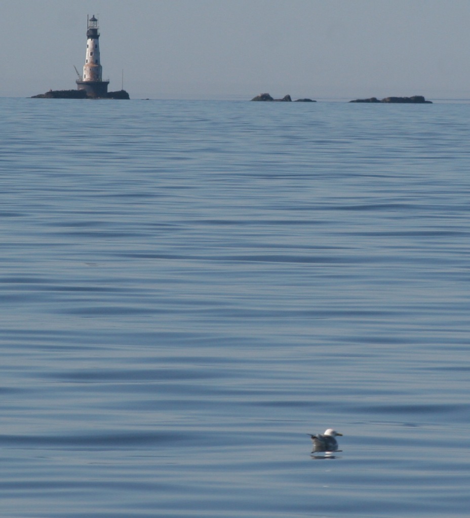
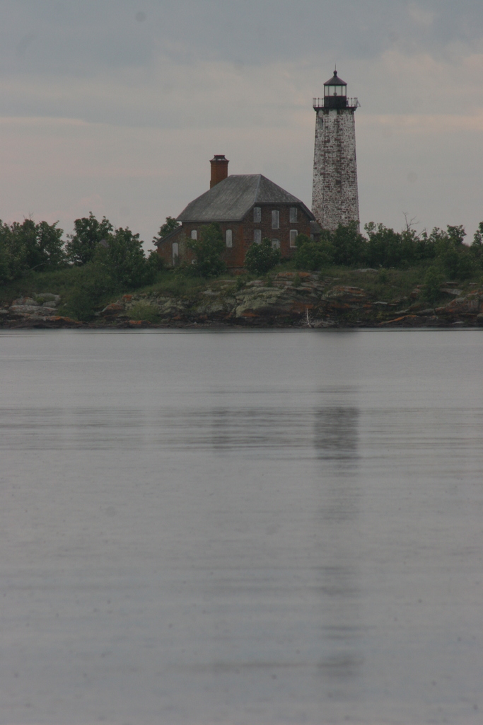
There are four lighthouses surrounding Isle Royale and two of them are visited by boat tours.  We circumnavigated the entire island on a ferry boat and our favorite was the red-brick Isle Royale Lighthouse on Menagerie Island.
Peak Season

Summer

Hours

Despite the fact that it is closer to Minnesota (Central Time Zone), Isle Royale is part of Michigan and therefore in the Eastern Time Zone. 

https://www.nps.gov/isro/planyourvisit/hours.htm

Fees

$7 per person, per day or America the Beautiful pass

Road Conditions

There are no roads on Isle Royale, which is only accessible by boat and floatplane.  Ferries run in the summer months from Grand Portage, Minnesota and Copper Harbor and Houghton, Michigan.

Camping

There are nine screened-in shelters and eleven tent sites right at Rock Harbor, but camping there is limited to one night only to accommodate backpackers.  Washington Harbor Campground is located at Windigo and allows up to a three-night stay, but the other 34 campsites require a backpacking permit (available at Rock Harbor, Windigo, and aboard the ferry boats from Michigan).  Advanced reservations are only accepted for groups of more than six people, so plans must be flexible since there are limits to the number of campers per site.

Related Sites

Grand Island National Recreation Area (Michigan)

Pictured Rocks National Lakeshore (Michigan)

Grand Portage National Monument (Minnesota)

Keweenaw National Historical Park (Michigan)

Explore More – After depleting mines on the Keweenaw Peninsula, companies were eyeing Isle Royale’s deposits of what metal when it first gained federal protection in 1931?

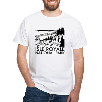
This design we created to celebrate Isle Royale National Park is available on a variety of products at Cafe Press and Amazon.

Grand Island National Recreation Area

Grand Island National Recreation Area

Michigan

Managed by U.S. Forest Service, Eastern Region

13,279 acres

Website: https://www.fs.usda.gov/recarea/hiawatha/recarea/?recid=13270

Overview

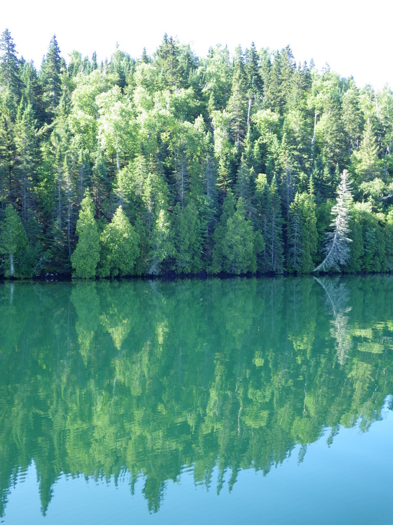
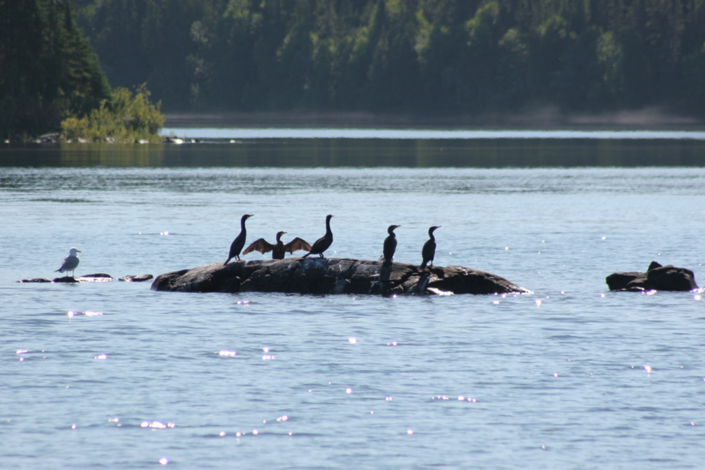
The turquoise color of Lake Superior beneath the sandstone cliffs of Grand Island National Recreation Area makes it seem warmer than it actually is.  Glaciers carved this island’s shoreline thousands of years ago and the Ice Age never seems far off in the lake’s cold waters.  Managed by Hiawatha National Forest, the most popular activities here are commercial boat tours, backpacking, and mountain biking the 20-mile loop around the island.  Paddling a sea kayak can be an unforgettable experience and guides can provide the necessary gear.  Most of the northern two-thirds of Grand Island is surrounded by cliffs with nowhere to land a boat, so be careful as large waves can become hazardous on Lake Superior. 

Highlights

East Channel Lighthouse, 1870 wreck of the Bermuda, Williams-Powell Cemetery, Stone Quarry Cabin, Waterfall Beach Overlook, Merchandise Beach, Echo Lake

Must-Do Activity

After a night spent at the free Hovey Lake Campground in Hiawatha National Forest, we kayaked to Grand Island from the ferry dock west of Munising to see East Channel Lighthouse and the 1870 wreck of the Bermuda from the water.  We then landed our boat on the sandy beach at Murray Bay Group Site to walk to Williams-Powell Cemetery and Stone Quarry Cabin.  You can pick up a guided boat tour from the docks in Munising that makes a long explanatory stop over the Bermuda or take the ferry to the island with your mountain bike for exploring.  Make sure to visit the free Pictured Rocks Interpretive Center in downtown Munising for informational displays provided by the U.S. Forest Service.

Best Trail

There is a 20-mile-long bike trail that circles Grand Island, with some inland trails (like the one to Echo Lake) and a few open only to hikers. The non-motorized trails are closed to eBikes.

Instagram-worthy Photo

East Channel Lighthouse is situated on private land near Wick Point, so no landing is allowed onshore there.

Peak Season

Summer

Fees

A day use fee of $5 per person, per trip applies if you land on the island. Ferry rides cost $23 per person and camping fees also apply ($8 to $10 per night).

Road Conditions

Bike trails around the southern part of Grand Island are roads also used by tour vans, so watch out for traffic.

Camping

There are many campsites on the island, including a few protected in Murray Bay about two miles from the Williams Landing ferry dock.  Reservations are required for camping except at Flat Rock, Cobble Cove, and Muskrat Point, which offer first-come, first-served campsites all in the southeast corner of Grand Island.

Related Sites

Hiawatha National Forest (Michigan)

Pictured Rocks National Lakeshore (Michigan)

Keweenaw National Historical Park (Michigan)
Nearest National Park

Isle Royale

Explore More – Given the common names of northern white-cedar or eastern arborvitae, why is Thuja occidentalis known as the “tree-of-life”?

Cape Hatteras National Seashore

Overview

The Outer Banks of North Carolina have sparked the imaginations of travelers ever since British colonists landed here in 1585.  If you are seeking undeveloped beaches that have changed little over the centuries then this is the place to go.  The 70 miles of barrier islands protected as Cape Hatteras National Seashore are interrupted only by small seaside villages and one long section by Pea Island National Wildlife Refuge.  Bodie Island and Hatteras Island are connected by bridges, but Ocracoke Island is only accessible by ferry.

Highlights

1870 Cape Hatteras Lighthouse, 1872 Bodie Island Lighthouse, Ocracoke Island Campground, beaches

Must-Do Activity

The main National Park Service (NPS) visitor center is located at iconic Cape Hatteras Lighthouse where you can learn about shipwrecks, pirates, and the monumental effort to move the 208-foot tall brick structure in 1999.  Further down Highway 12, pick up a free ferry to Ocracoke Island, a renowned vacation destination.  Several campgrounds are found along the seashore, including one on Ocracoke.  Since this remote strip of sand is not easy to get to, you will want to spend at least a night or two.

Best Trail

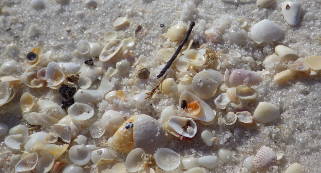
Walking the beach and collecting seashells is the most popular diversion, but there are also the Hammock Hills Nature Trail on Ocracoke Island and Buxton Woods Nature Trail on Hatteras Island.

Instagram-worthy Photo

Ocracoke Lighthouse is the oldest operating lighthouse in North Carolina, dating back to 1823, but it is not open to enter inside.

Peak Season

Summer

Hours

https://www.nps.gov/caha/planyourvisit/hours.htm

Fees

None, except a fee is charged to climb Bodie Island and Cape Hatteras Lighthouses

Road Conditions

All main roads are paved and there are designated access points to drive on the beach.

Camping

There are four NPS campgrounds and they all take reservations.

Related Sites

Cape Lookout National Seashore (North Carolina)

Fort Raleigh National Historic Site (North Carolina)

Wright Brothers National Memorial (North Carolina)

Explore More – The Outer Banks are known as the “Graveyard of the Atlantic,” so how many shipwrecks have been recorded in this area?

Gulf Islands National Seashore

Overview

Gulf Islands National Seashore is renowned for white sand beaches on the barrier islands in the Gulf of Mexico, but there is more than beaches on the shores of Mississippi and the Florida panhandle (yes, Alabama is in the middle but is not part of this park).  The white sand that attracts beachgoers here originated as quartz in the Appalachian Mountains.  This coastal region was originally purchased by the U.S. from Spain in 1821 and 150 years later Gulf Islands National Seashore was created. 

Highlights

Fort Pickens, Naval Live Oaks Area, Fort Barrancas, West Ship Island ferry, white sand beaches, wildlife

Must-Do Activity

The National Park Service (NPS) has four visitor centers for Gulf Islands National Seashore, one on the mainland in Ocean Springs, Mississippi and the other three are south of Pensacola, Florida.  The most developed area is around Fort Pickens on Santa Rosa Island with its popular campground.  Nearby, Fort Barrancas sits next to the free National Museum of Naval Aviation on the military base.  The Naval Live Oaks Area protects the first federal tree farm started for shipbuilding purposes in 1828.  In Mississippi, only Davis Bayou can be reached by road, with (seasonal) ferry service limited to West Ship Island.  Otherwise, bring your own boat!

Best Trail

The 1,300-mile long Florida National Scenic Trail starts at Fort Pickens then runs east across Santa Rosa Island.

Instagram-worthy Photo

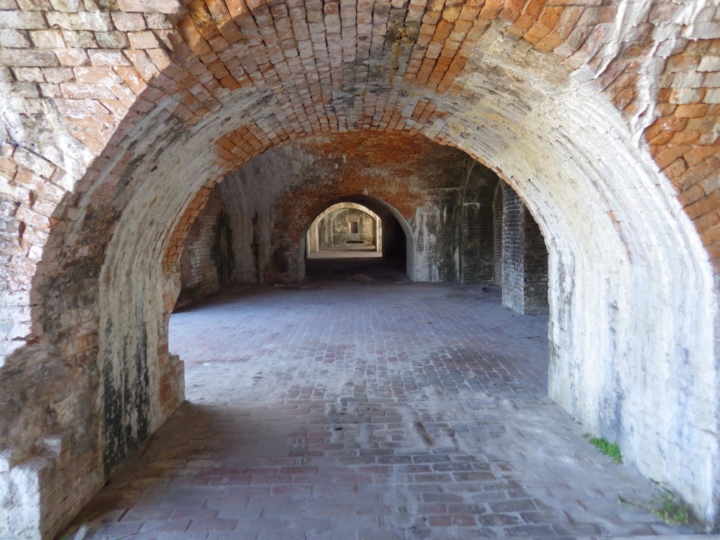
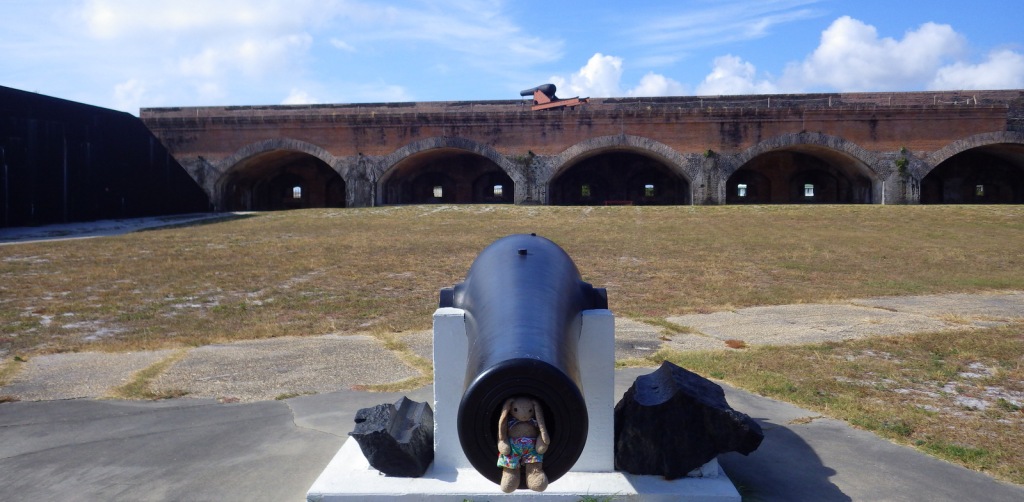
Fort Pickens dates back to 1829 with additional batteries upgraded during World War II.  Inside the fort there is a nice museum explaining the history of Santa Rosa Island.

Peak Season

Summer

Hours

https://www.nps.gov/guis/planyourvisit/hours.htm

Fees

$25 per vehicle or free with America the Beautiful pass

Road Conditions

All access roads are paved

Camping

Reservations are highly recommended for the NPS campgrounds on Santa Rosa Island, Florida and Ocean Springs, Mississippi.  Primitive camping is allowed on undeveloped East Ship, Horn, and Petit Bois Islands.

Related Sites

Dry Tortugas National Park (Florida)

Canaveral National Seashore (Florida)

Everglades National Park (Florida)

Explore More – What are the four species of sea turtles that nest on the park’s beaches?

Fort Sumter and Fort Moultrie National Historical Park

Overview

Located at the entrance to the harbor of Charleston, South Carolina, a group of defensive forts have gone through many permutations since the 1770s.  The most famous, the five-sided Fort Sumter was still unfinished (after 30 years of construction) when South Carolina became the first state to secede from the United States on December 20, 1860.  This led Major Robert Anderson to flee Fort Moultrie with 85 Union troops for Fort Sumter, which Confederates fired at on April 12, 1861, marking the first shot of the Civil War.  Fort Sumter is only accessible by ferry, but you can drive a car to the National Park Service (NPS) museum at Fort Moultrie, commemorated on the U.S. quarter-dollar coin minted in 2016.

Highlights

Museum, Fort Moultrie, Fort Sumter, wildlife

Must-Do Activity

Fort Sumter was built upon a sandbar in Charleston Harbor, raised and leveled with 70,000 tons of granite brought down from New England.  A toll ferry takes visitors to the island from downtown Charleston or Patriots Point Naval and Maritime Museum.   Dolphins, pelicans, and shore birds are commonly spotted on the 40-minute ferry ride to Fort Sumter.  Destroyed by the end of the Civil War, the fort today looks nothing like it did back then, having gone through multiple upgrades before it was deactivated in 1947.  At the site, the NPS displays cannons representing each era alongside interpretive signs.

Best Trail

A walk through Fort Moultrie explains its 170 years of military use before it became part of Fort Sumter National Monument in 1948.  Constructed on Sullivan’s Island in South Carolina, Fort Moultrie was not yet finished when a British attack was repelled on June 28, 1776 at the beginning of the Revolutionary War.  After being destroyed during the Civil War, it saw new life during World War I with the placement of disappearing rifles and World War II with anti-aircraft guns. 

Instagram-worthy Photo

Major Robert Anderson surrendered and lowered the U.S. flag on April 14, 1861, though there were no casualties during the bombardment.  After rifled cannons had reduced the fort’s walls to rubble, Major Anderson raised the exact same flag above Fort Sumter four years later to-the-date near the end of the Civil War. 

Peak Season

Summer

Hours

https://www.nps.gov/fosu/planyourvisit/hours.htm

Fees

$10 per person to visit Fort Moultrie (or America the Beautiful pass); charge for passenger ferry to Fort Sumter but no NPS fee

Road Conditions

Free parking at Fort Moultrie, but pay parking for the ferry from Liberty Square in downtown Charleston or Patriots Point Naval and Maritime Museum.

Camping

None

Related Sites

Fort Pulaski National Monument (Georgia)

Charles Pinckney National Historic Site (South Carolina)

Congaree National Park (South Carolina)

Explore More – Who was the famous Native American chief who died of scarlet fever as a prisoner at Fort Moutlrie in 1838?

We are a participant in the Amazon Services LLC Associates Program, an affiliate advertising program designed to provide a means for us to earn fees by linking to Amazon.com and affiliated sites.