Saint Francis Dam Disaster National Memorial and Monument
California
Managed by U.S. Forest Service, Angeles National Forest
353 acres
Website: https://stfrancisdammemorial.org/
Overview
Saint Francis Dam Disaster National Memorial and Monument was authorized on March 12, 2019 to commemorate the 431 lives that were lost when an 185-foot-tall concrete gravity dam failed around midnight on the same date 91 years earlier. The death toll is second in the history of California to the 1906 earthquake in San Francisco. Saint Francis Dam was only two years old when it failed, and other dams from that time period remain in use as part of the Los Angeles aqueduct system. A detailed historical account of the disaster is available on Wikipedia. Currently, a California Historical Landmark is located 1.5 miles south at Powerhouse No. 2, but there is nothing developed at the actual site. In 2003 in Santa Paula, a memorial statue was erected featuring two motorcycle officers in honor of two heroes who warned sleeping residents of the impending flood, saving countless lives.
Know someone who loves exploring new National Monuments? Gift them our book Monumental America: Your Guide to All 138 National Monuments that is available for sale on Amazon.com.

Highlights
Ruins of dam, California Historical Landmark #919, Santa Paula Memorial
Must-Do Activity
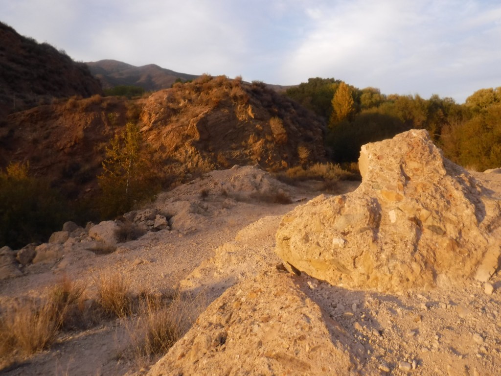
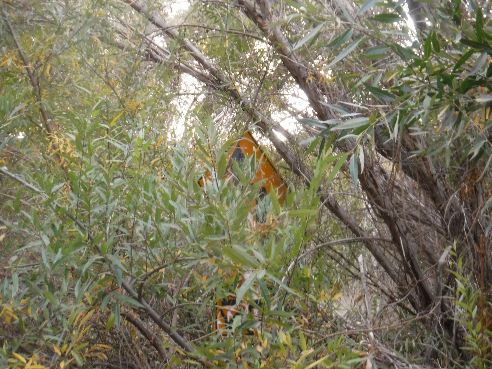
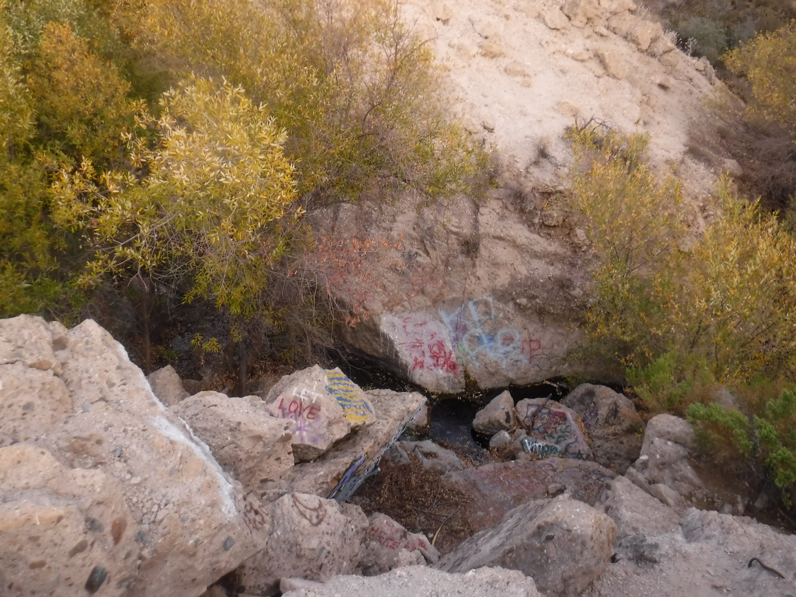
There are plans to build a National Memorial at the dam, but currently it is a pile of rubble heavily spray-painted by local teenagers. After its fall in 1928, authorities further toppled the structure with dynamite, bulldozers, and jackhammers to discourage sightseers and souvenir hunters. The site is located in a scenic canyon where the leaves were just turning yellow for winter during our mid-November visit. It is less than a mile walk to the site from the unmarked pulloff on the east side of San Francisquito Canyon Road in Angeles National Forest. The pathway is the heavily overgrown original roadbed that was abandoned after a storm in 2005 and it reeked of urine. It will be interesting to see how the Forest Service cleans up the area in the future.
Best Trail
There is no official trail, and it is quite a steep drop from the paved remnants of old San Francisquito Canyon Road to the actual rubble pile down at creek level.
Photographic Opportunity
The dam disaster site is not much to look at right now, but there are some angles where you can avoid getting graffiti in your photo.
Peak Season
Spring and fall
Fees
None
Road Conditions
San Francisquito Canyon Road is paved, but exercise caution as there is currently no sign for the parking areas nor is there a turn lane on this high-speed two-lane highway.
Camping
There are numerous Forest Service campgrounds in the area, with Spunky Canyon and South Portal being the closest to the north.
Related Sites
Santa Gabriel Mountains National Recreation Area (California)
Santa Monica Mountains National Recreation Area (California)
Sand to Snow National Monument (California)
Nearest National Park
Channel Islands (California)


Explore More – How many billions of gallons of water were released when the St. Francis Dam failed in 1928?

Learn more about the other 137 National Monuments in our book Monumental America: Your Guide to All 138 National Monuments