Tag Archives: river

Chattahoochee National Forest

Chattahoochee National Forest

Georgia

Managed by U.S. Forest Service, Southern Region

1,516,006 acres (750,145 federal/ 765,861 other)

Website: https://www.fs.usda.gov/conf

Overview

In mountainous northern Georgia, Chattahoochee National Forest stretches 200 miles east to west, bordering North Carolina, South Carolina, and Tennessee.  In addition to the highest point in Georgia (4,784-foot Brasstown Bald), the National Forest includes the headwaters of the Chattahoochee River and one side of the Chattooga National Wild and Scenic River.  West of the North Georgia Mountains, the Ridge and Valley Scenic Byway traverses the disjunct portion of the National Forest encompassing Johns Mountain, Little Sand Mountain, and Taylor Ridge.

Know someone who loves the National Forests? Gift them our travel guidebook Out in the Woods so they can learn more about all 155 National Forests.

Highlights

Ed Jenkins National Recreation Area, Ridge and Valley Scenic Byway, Keown Falls, Russell-Brasstown Scenic Byway, Brasstown Bald, High Shoal Falls Scenic Area, Lake Conasauga Recreation Area, Anna Ruby Falls, Sosebee Cove Scenic Area, Timpson Falls, Popcorn Overlook, Track Rock Gap Petroglyph Site, DeSoto Falls Scenic Area, Angel Falls, Raven Cliff Trail, Helton Creek Falls Trail, Duncan Ridge National Recreation Trail, Appalachian National Scenic Trail

Must-Do Activity

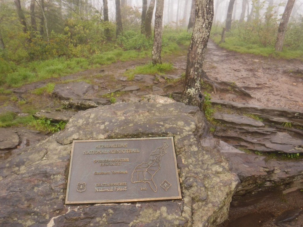
One of the National Forest’s most popular spots, 150-foot-tall Anna Ruby Falls is accessed by a short trail northeast of Helen, Georgia on State Route 356.  Large tulip-poplar and yellow buckeye trees grow in 175-acre Sosebee Cove Scenic Area, even though it is a second growth forest.  We will have a separate blog post on Ed Jenkins National Recreation Area, which surrounds Springer Mountain, the southern terminus of the 2,185-mile-long Appalachian National Scenic Trail.

Best Trail

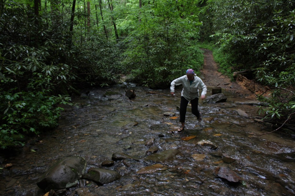
Chattahoochee National Forest started when the Forest Service purchased 31,000 acres from the Gennett family in 1911 for $7 per acre.  Visitors can still see their namesake Gennett Poplar (a tulip-poplar tree more than five feet in diameter) by hiking 1.8 miles out-and-back with two stream crossings on the Bear Creek Trail.  The rows of holes in the old tree’s trunk were made by yellow-bellied sapsuckers, a type of woodpecker.  The trail continues and connects with the Pinhoti Trail to form a 6.6 to 9-mile long loop.

Watchable Wildlife

In addition to the plentiful white-tailed deer, other large mammals found in Chattahoochee National Forest include black bears, coyotes, bobcats, red foxes, squirrels, beavers, and river otters.  There are a wide variety of songbirds, waterfowl, and raptors, as well as wild turkeys.  One insect species of note is the blue ghost firefly, which produces a distinctive blue phosphorescence.  Panther Creek is among the approximately 2,000 miles of rivers and streams popular for fishing.

Instagram-worthy Photo

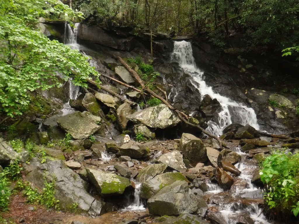
There is a small waterfall at Barnes Creek Picnic Area, which was built by the Civilian Conservation Corps (CCC) in the 1930s.
Peak Season

Summer

Fees

None

Road Conditions

Most of the major routes in Chattahoochee National Forest are paved.  Forest Service Road 42 that accesses the Springer Mountain Trailhead is unpaved and full of potholes, but it is doable in a passenger vehicle (as are the dirt roads to Hickey Gap Campground and Bear Creek Trail). 

Camping

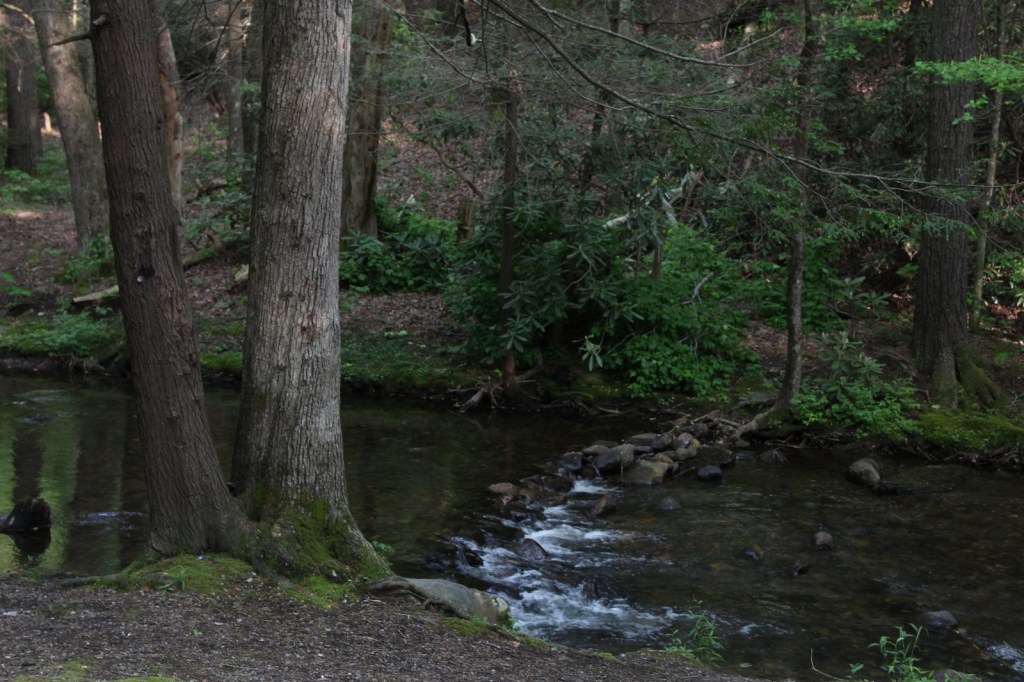
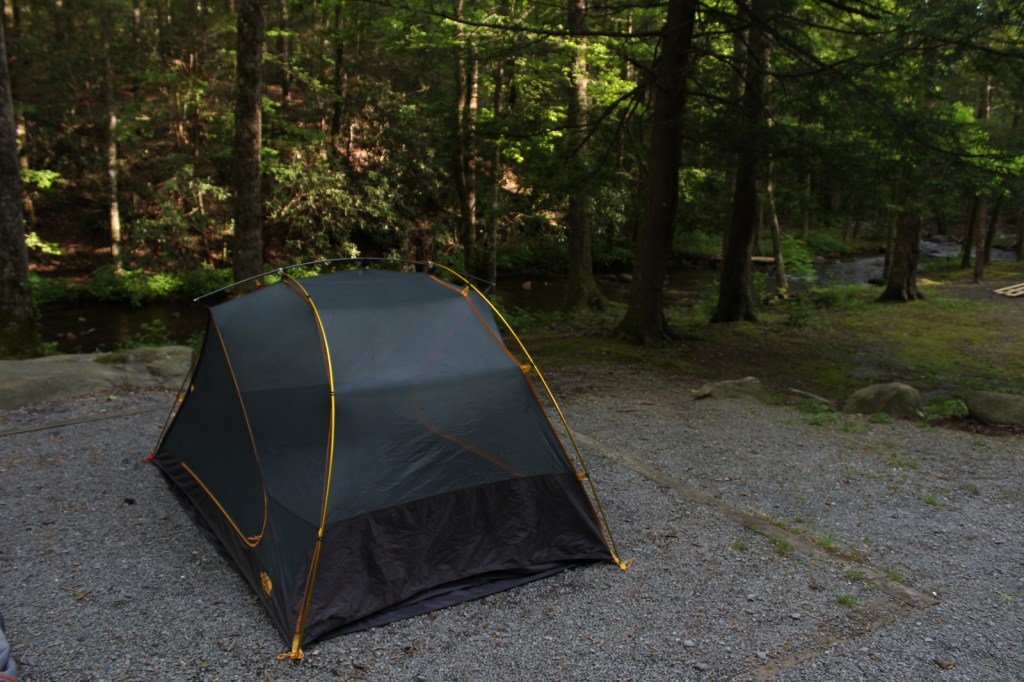
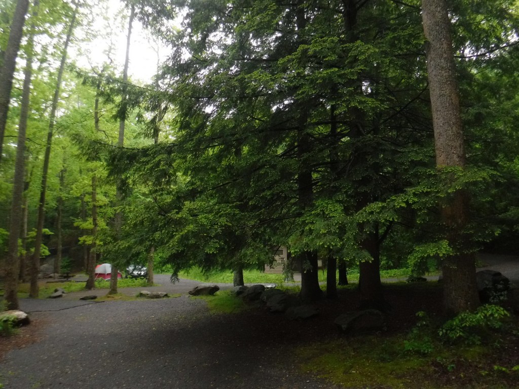
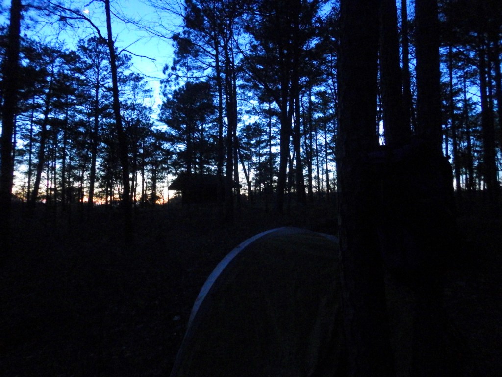
The riverside Hickey Gap Campground is so nice that it made it into our list of the Top 10 Campgrounds in National Forests; the best part is: it is free.  We once overnighted at the Locust Stake ORV Area Trailhead north of Atlanta, which was fine until someone decided to ride their motocross bike at 2 a.m.

Wilderness Areas

Big Frog Wilderness (also in Cherokee National Forest)

Blood Mountain Wilderness

Brasstown Wilderness

Cohutta Wilderness (also in Cherokee National Forest)

Ellicott Rock Wilderness (also in Nantahala and Sumter National Forests)

Mark Trail Wilderness

Raven Cliffs Wilderness

Rich Mountain Wilderness

Southern Nantahala Wilderness (also in Nantahala National Forest)

Tray Mountain Wilderness

Related Sites

Chattahoochee River National Recreation Area (Georgia)

Martin Luther King, Jr. National Historical Park (Georgia)

Ed Jenkins National Recreation Area (Georgia)

Nearest National Park

Great Smoky Mountains

Conifer Tree Species

eastern hemlock, loblolly pine, shortleaf pine, Table Mountain pine, pitch pine

Flowering Tree Species

flowering dogwood, mountain laurel, pawpaw, American beech, white basswood, red maple, mountain maple, moosewood maple, tulip-poplar, sweet buckeye, yellowwood, yellow birch, cucumber magnolia, black cherry, sourwood, pale hickory, mockernut hickory, rock chestnut oak, scarlet oak, black oak, Catawba rhododendron, yellow birch, sweet bay magnolia, mountain-ash, ninebark

Explore More – How many acres are within the Cohutta Wilderness, the largest designated Wilderness east of the Mississippi River?

Learn more about Chattahoochee and the 154 other National Forests in our new guidebook Out in the Woods

Cache National Forest

Cache National Forest

Utah, Idaho

Managed by U.S. Forest Service, Intermountain Region

1,216,778 acres (701,652 federal/ 515,126 other)

Website: https://www.fs.usda.gov/uwcnf

Overview

Cache National Forest surrounds Logan, Utah on three sides covering the Bear River Range and Wellsville Mountains, which are considered to have the steepest grade in the entire nation.  Since August 2007, Cache National Forest is officially part of the massive Uinta-Wasatch-Cache National Forest that sprawls across northeastern Utah.  To add to the bureaucratic confusion, the 263,940 acres of Cache National Forest in Idaho have been administered since 1973 by Caribou National Forest (see our next blog post).  When you subtract that land area, it only includes 437,712 acres of federal land, making it one of the smallest National Forests in the western U.S.

Highlights

Logan Canyon Scenic Byway, Wind Cave, Jardine Juniper, Tea Pot Rock, Old Limber Pine Nature Trail, Ogden River Scenic Byway, Pineview Reservoir, Tony Grove Lake Campground, Causey Reservoir, Wellsville Mountains, Naomi Peak National Recreation Trail

Must-Do Activity

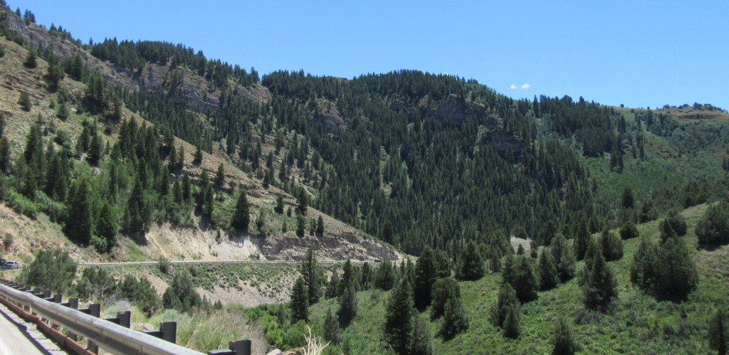
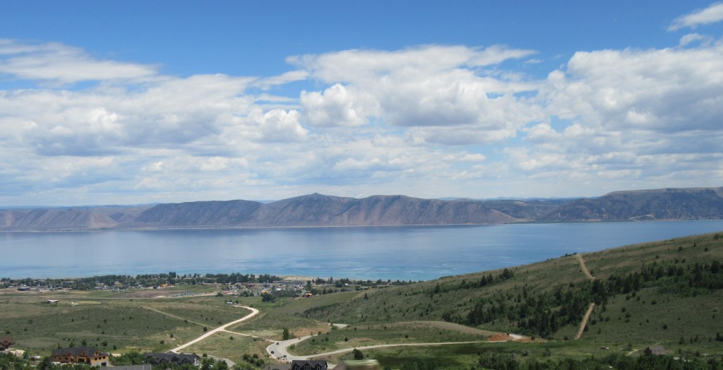
Logan Canyon Scenic Byway follows Highway 89 and the beautiful Logan River up to a pass with views of Bear Lake, a naturally-formed body of water that gets its turquoise color from suspended limestone sediment (earning it’s the nickname “Caribbean of the Rockies”).  Logan Canyon is especially busy in the fall when the leaves change on quaking aspens and three species of maples: boxelder, canyon/bigtooth maple, and Rocky Mountain maple. 

Best Trail

Logan Canyon has two popular, but steep trails that lead to Wind Cave and the Old Jardine Juniper, the world’s largest Rocky Mountain juniper estimated to be at least 3,000 years old.  The 3.6-mile out-and-back trail to Wind Cave starts from a roadside pullout across from Guinavah-Malibu Campground and gains more than 900 feet in elevation.  Hiking to the Old Jardine Juniper requires a climb of over 2,100 feet along the five-mile one-way trail, which continues further into the Mt. Naomi Wilderness.

Watchable Wildlife

Trout fishing is a popular activity due to all of the rivers and streams in Cache National Forest.  Large mammalian species include elk, mule deer, pronghorns, and black bears.  Watch the skies above Logan Canyon for ravens and a variety of birds of prey.

Instagram-worthy Photo

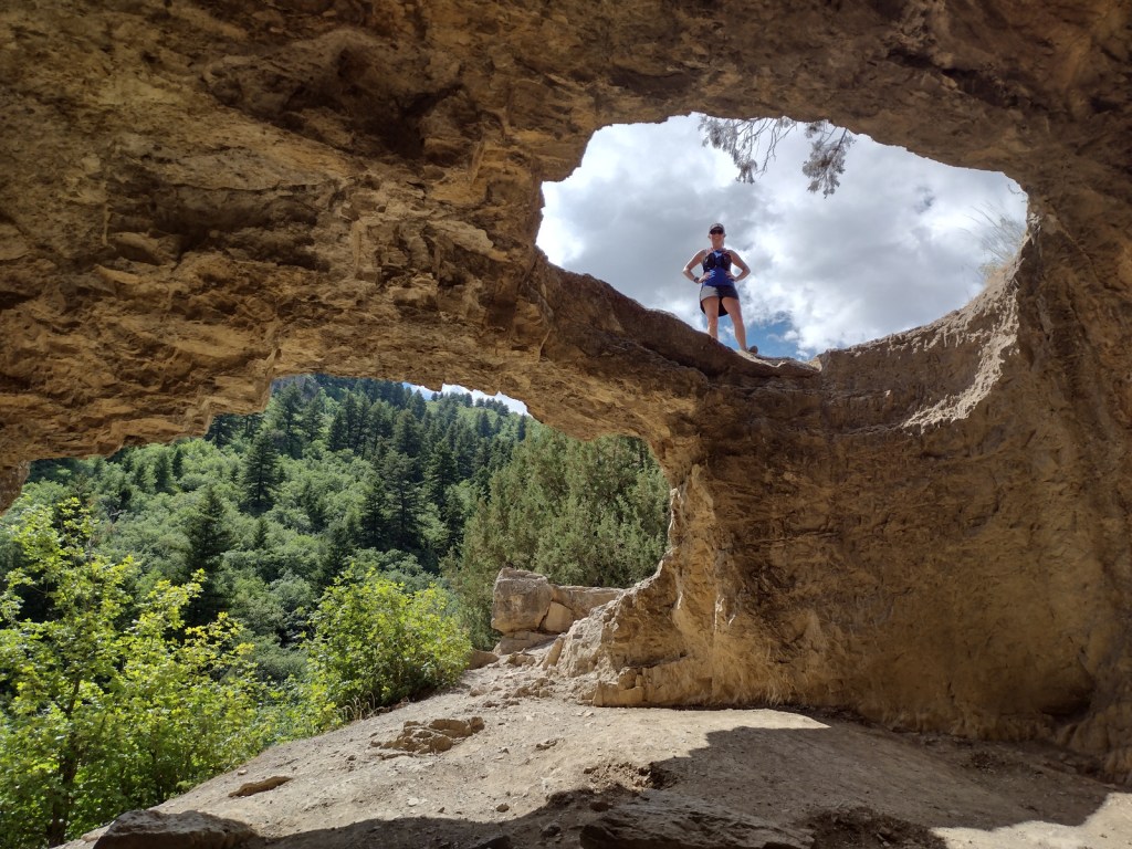
The limestone arches of Wind Cave originally formed underground then were exposed when the Logan River cut its steep canyon.

Peak Season

Summer

Fees

None

Road Conditions

Logan Canyon (Highway 89) and Ogden River (Highway 39) Scenic Byways are both paved.  We did not drive any unpaved roads, but we did notice that the dirt roads around Bear Lake Summit (on Highway 89) looked very rutted and four-wheel-drive only.

Camping

There are numerous campgrounds along both the Logan Canyon and Ogden River Scenic Byways.  We did not notice any dispersed campsites in these areas, although there probably are some options in more remote portions of the National Forest.

Wilderness Areas

Mt. Naomi Wilderness

Wellsville Mountain Wilderness

Related Sites

Golden Spike National Historical Park (Utah)

Timpanogos Cave National Monument (Utah)

Wasatch National Forest (Utah-Wyoming)

Nearest National Park

Grand Teton (Wyoming)

Conifer Tree Species

Rocky Mountain juniper, Utah juniper, limber pine, whitebark pine, ponderosa pine, lodgepole pine, Engelmann spruce, subalpine fir, white fir, Douglas-fir

Flowering Tree Species

quaking aspen, river birch, boxelder, canyon/bigtooth maple, Rocky Mountain maple, Bebb willow, blue elderberry, chokecherry, curlleaf mountain-mahogany, sagebrush

Explore More – In what year did the Cache Valley host the second-ever rendezvous of fur-trapping mountain men?

Learn more about Cache and the 154 other National Forests in our new guidebook Out in the Woods

We are a participant in the Amazon Services LLC Associates Program, an affiliate advertising program designed to provide a means for us to earn fees by linking to Amazon.com and affiliated sites.

Boise National Forest

Boise National Forest

Idaho

Managed by U.S. Forest Service, Intermountain Region

2,959,305 acres (2,654,004 federal/ 305,301 other)

Website: https://www.fs.usda.gov/boise

Overview

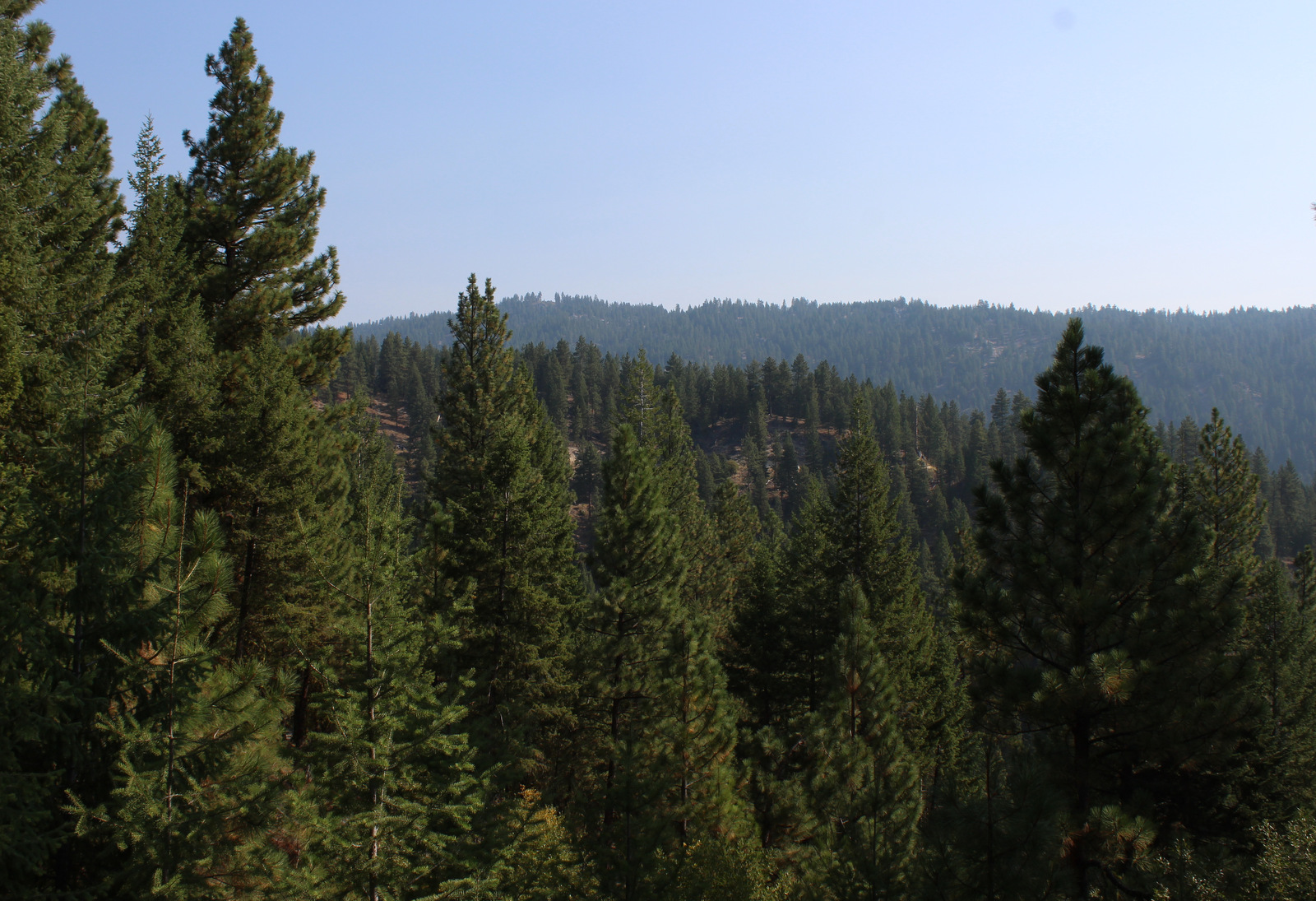
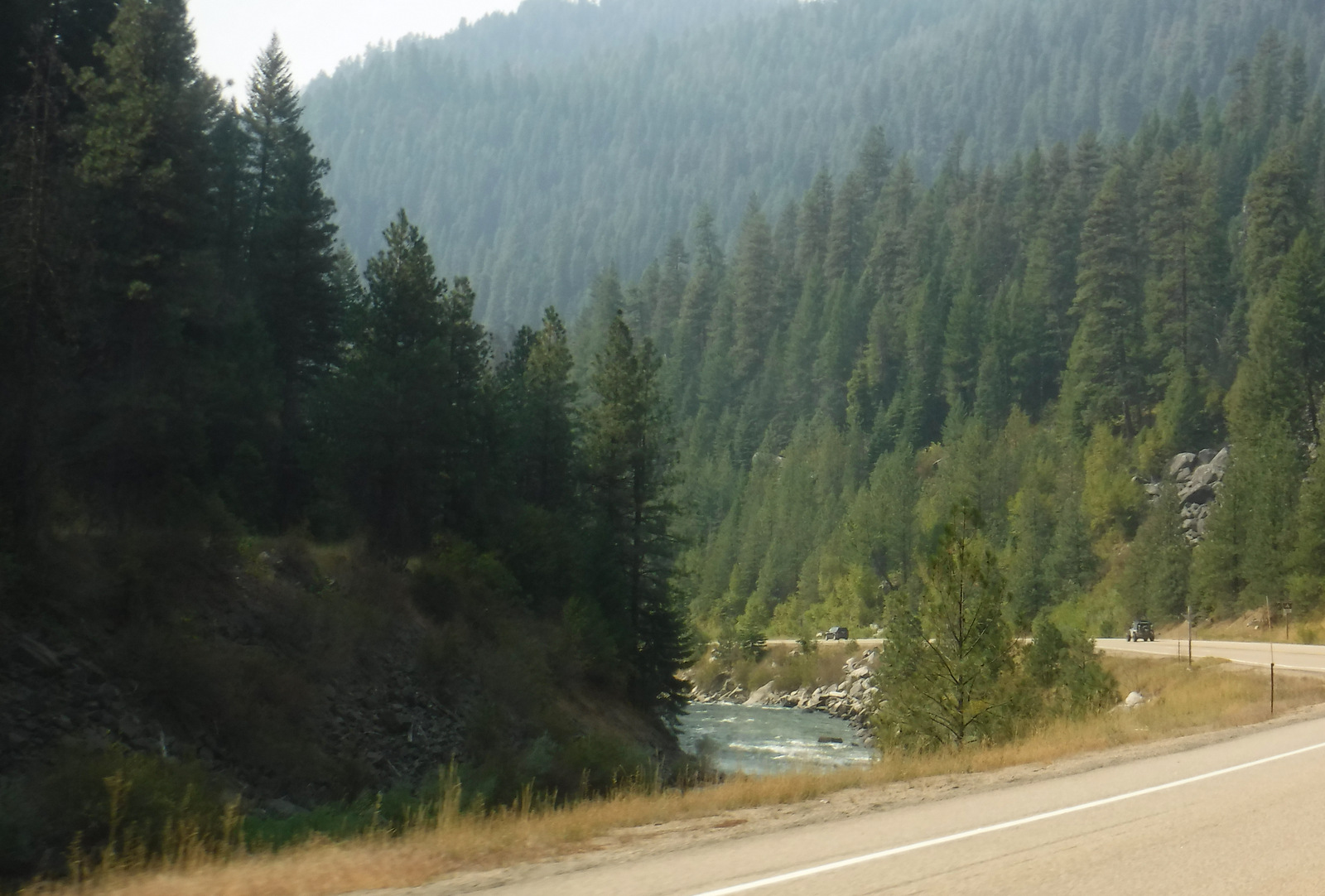
Boise National Forest is famous for its gold rush ghost towns and hot springs along the South Fork of the Payette River.  The best way to explore this National Forest is by stopping along three scenic byways: Ponderosa Pine (Highway 21), Wildlife Canyon (Highway 24), and Payette River (Highway 55) Scenic Byways.  Ghost towns dating back to the 1860s include Atlanta, Banner, Brummer, Graham, Pioneerville, Quartzburg, Thunder, and the more-developed Idaho City.

Know someone who loves the National Forests? Gift them our travel guidebook Out in the Woods so they can learn more about all 155 National Forests.

Highlights

Sawtooth National Recreation Area, Payette River Scenic Byway, Big Falls, Ponderosa Pine Scenic Byway, Kirkham Hot Springs, Sage Hen Reservoir, Dagger Falls, Atlanta ghost town, Trinity Recreation Area, Ardeth Lake, Velvet Falls, Baron Lakes, Kirkham Ridge Trail, Idaho Centennial Trail

Must-Do Activity

Starting in Boise, Idaho, the Ponderosa Pine Scenic Byway (Highway 21) leads 131 miles northeast through Boise National Forest.  Be sure to stop (and try some delicious huckleberry ice cream) in Idaho City, where wooden board sidewalks and unpaved streets take you back to the gold rush era.  Ponderosa Pine Scenic Byway continues to Lowman where it follows the South Fork of the Payette River past the campgrounds at Kirkham and Bonneville Hot Springs (reservations recommended) and up to 7,056-foot Banner Summit at the boundary with Challis National Forest.

Best Trail

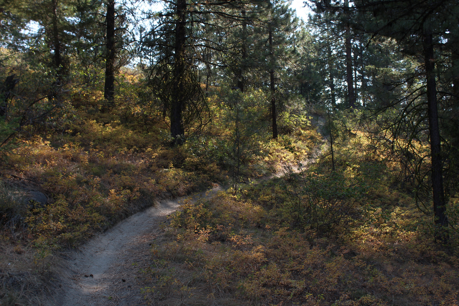
Located just three miles east of Highway 55 and Lake Cascade along paved Warm Creek Road is the Eagle Nest Trail.  Look for the parking pullout on the south side of the road across from the big rock that marks the entrance to the Eagle Nest neighborhood.  After crossing the road, the Eagle Nest Trail steadily climbs (from 4,850 to 6,050 feet in the first 2.5 miles) and occasionally opens up for views of the mountains above Cascade Lake.  Located further south, Fool Creek Trail drops 2,728 feet in 4.1 miles to the Middle Fork of the Payette River.

Watchable Wildlife

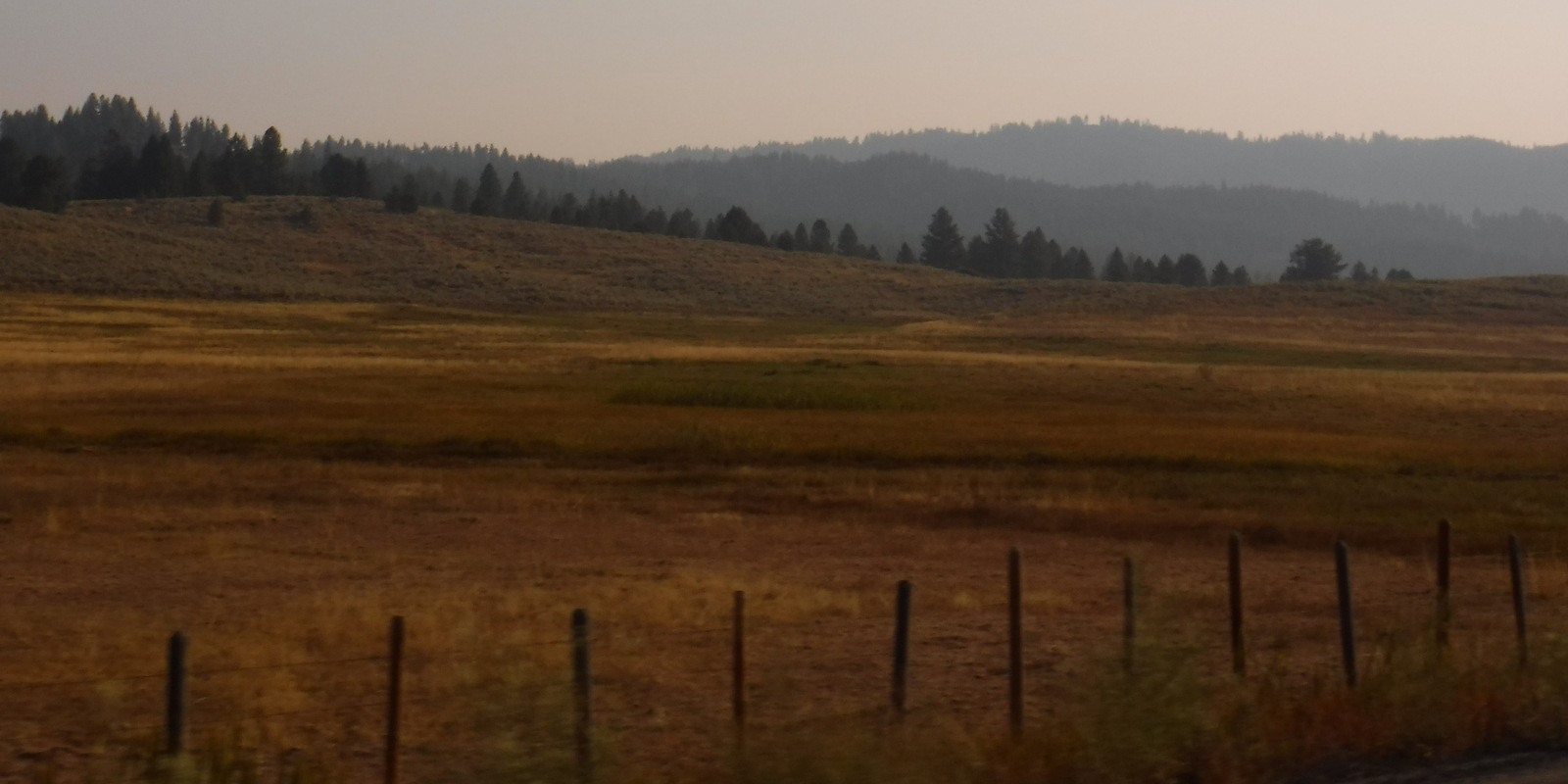
On a smoky September morning on the Eagle Nest Trail, we saw fresh turkey and mule deer prints in the dirt.  Other common large animals include elk, moose, pronghorns, coyotes, and black bears.  At higher elevations watch for mountain goats, pikas, and yellow-bellied marmots.  In addition to several trout species, chinook and sockeye salmon migrate up the Columbia and Snake Rivers.  Non-migratory Kokanee salmon are native to Warm Lake, plus introduced into Anderson Ranch, Arrowrock, Lucky Peak, and Deadwood Reservoirs.  

Instagram-worthy Photo

In Sawtooth National Recreation Area, 10,190-foot Mt. Regan stands at the south end of Sawtooth Lake marking the boundary between Boise and Challis National Forests.

Peak Season

Summer

Fees

There is a day-use fee at parking areas near hot springs

Road Conditions

Ponderosa Pine Scenic Byway is winding and full of switchbacks, so take your time.  Warm Creek Road is paved to the roadside trailhead for Eagle Nest.  The Grandjean Road back to the campground is unpaved, but open year round.

Camping

Most of the campgrounds along Highway 21 take reservations due to their popularity.  We have read good things about the 31 sites in the Grandjean Campground (first-come, first-served) on the South Fork of the Payette River (hot springs are 1.5 miles away) near the western boundary of the Sawtooth Wilderness.

Wilderness Areas

Frank Church-River of No Return Wilderness (also in Payette, Salmon-Challis, Bitterroot, and Nez Perce National Forests)

Sawtooth Wilderness (also in Sawtooth and Challis National Forests)

Related Sites

Sawtooth National Recreation Area (Idaho)

Hagerman Fossil Beds National Monument (Idaho)

Nez Perce National Historical Park (Idaho-Oregon-Washington-Montana)

Nearest National Park

Yellowstone (Wyoming-Montana-Idaho)

Conifer Tree Species

ponderosa pine, lodgepole pine, whitebark pine, Douglas-fir, Engelmann spruce, subalpine fir, western larch

Flowering Tree Species

quaking aspen, black cottonwood, narrowleaf cottonwood, thinleaf alder, water birch, Rocky Mountain maple, chokecherry, sagebrush

Explore More – Boise National Forest is full of water with 15,400 acres covered by lakes and reservoirs, plus how many miles of streams and rivers?

Learn more about this and the 154 other National Forests in our new guidebook Out in the Woods

Bitterroot National Forest

Bitterroot National Forest

Montana, Idaho

Managed by U.S. Forest Service, Northern Region

1,655,753 acres (1,587,070 federal/ 68,683 other)

Website: https://www.fs.usda.gov/bitterroot

Overview

First established as the 4.1-million-acre Bitter Root Forest Reserve in 1898, the smaller Bitterroot National Forest today flanks both sides of Highway 93 and the Bitterroot River Valley.  This stretch of the Idaho-Montana border is rough, mountainous country and about half this National Forest is designated Wilderness (see below).  The Continental Divide National Scenic Trail follows a portion of the boundary between Bitterroot National Forest and Beaverhead National Forest, heading northeast from Lost Trail Pass where Highway 93 crosses into Idaho.

Highlights

Nez Perce Auto Trail, Lost Trail Pass, Lake Como, Magruder Massacre Site, Trapper Peak, Skalkaho Falls, Blodgett Canyon, Boulder Creek Falls, Palisade Mountain National Recreation Trail, Continental Divide National Scenic Trail

Must-Do Activity

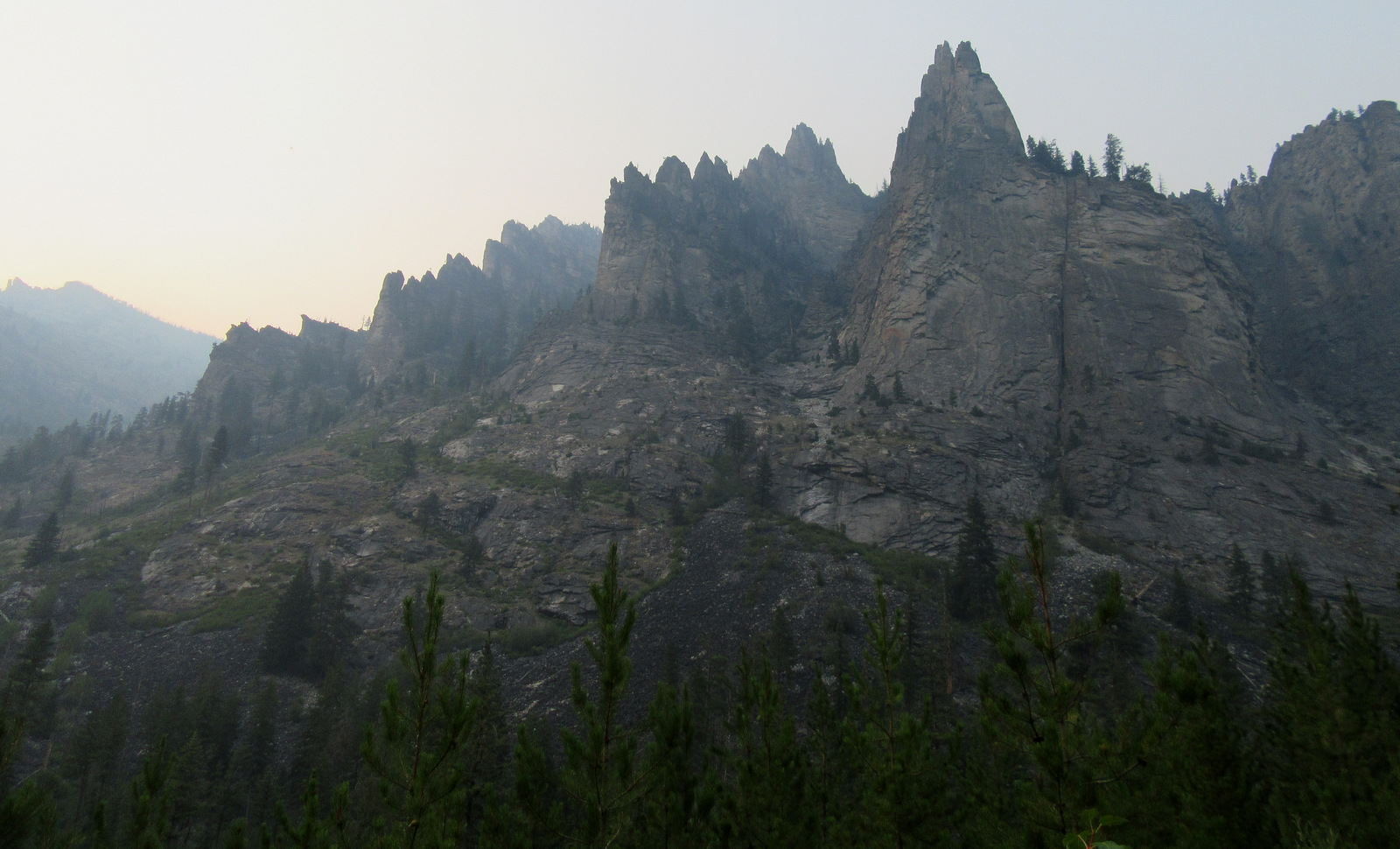
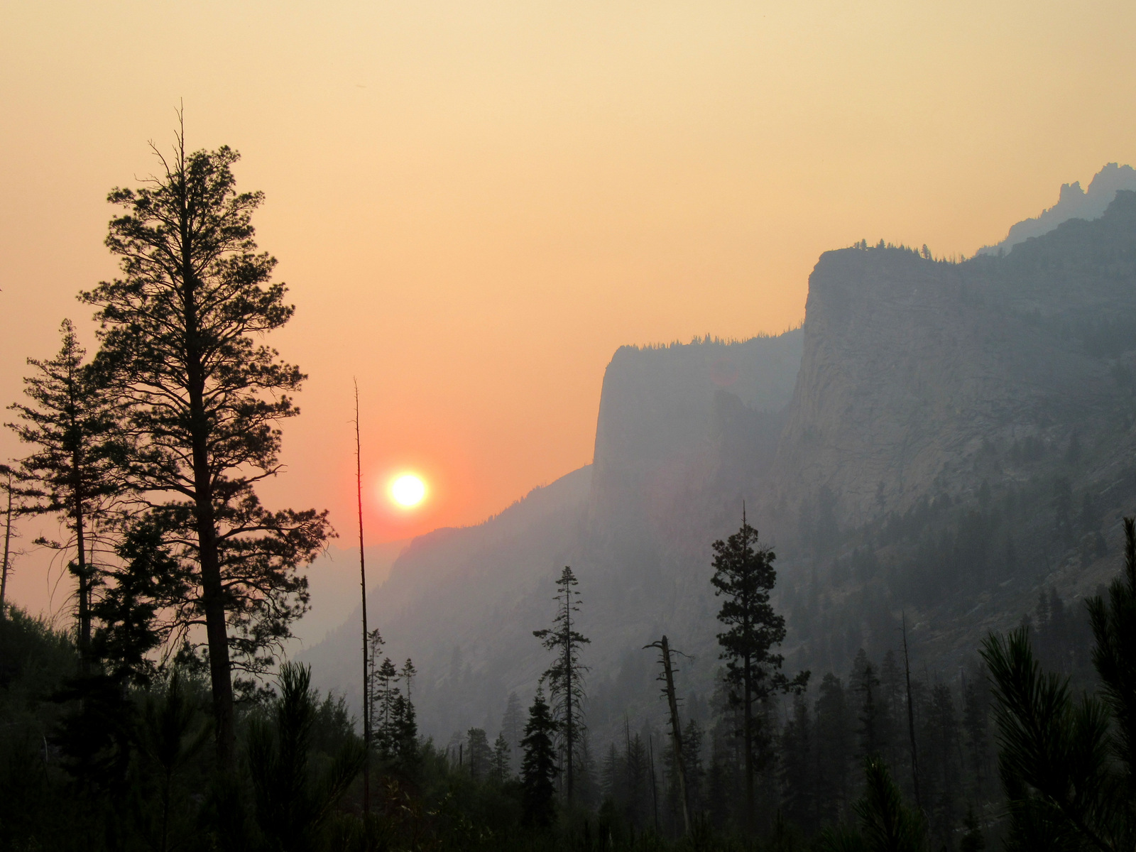
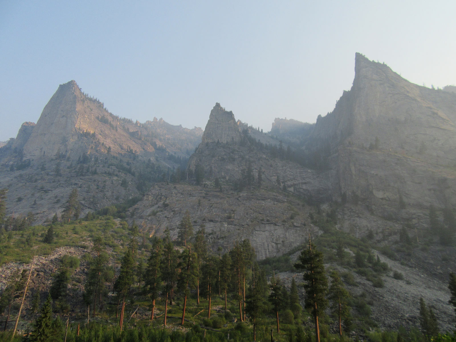
There are trails going west up seemingly every canyon in the Bitterroot Mountains, while Lost Horse Creek has a road that follows it nearly to the Idaho border.  Wildfire smoke obscured the views during our visit in July 2021, but the glacier-carved mountain scenery was still impressive on Blodgett Creek Trail.  We imagine on a clear day the views would rival California’s Yosemite Valley.  There are many more roads (and some trails) to explore in the Sapphire Mountains east of Highway 93.

Best Trail

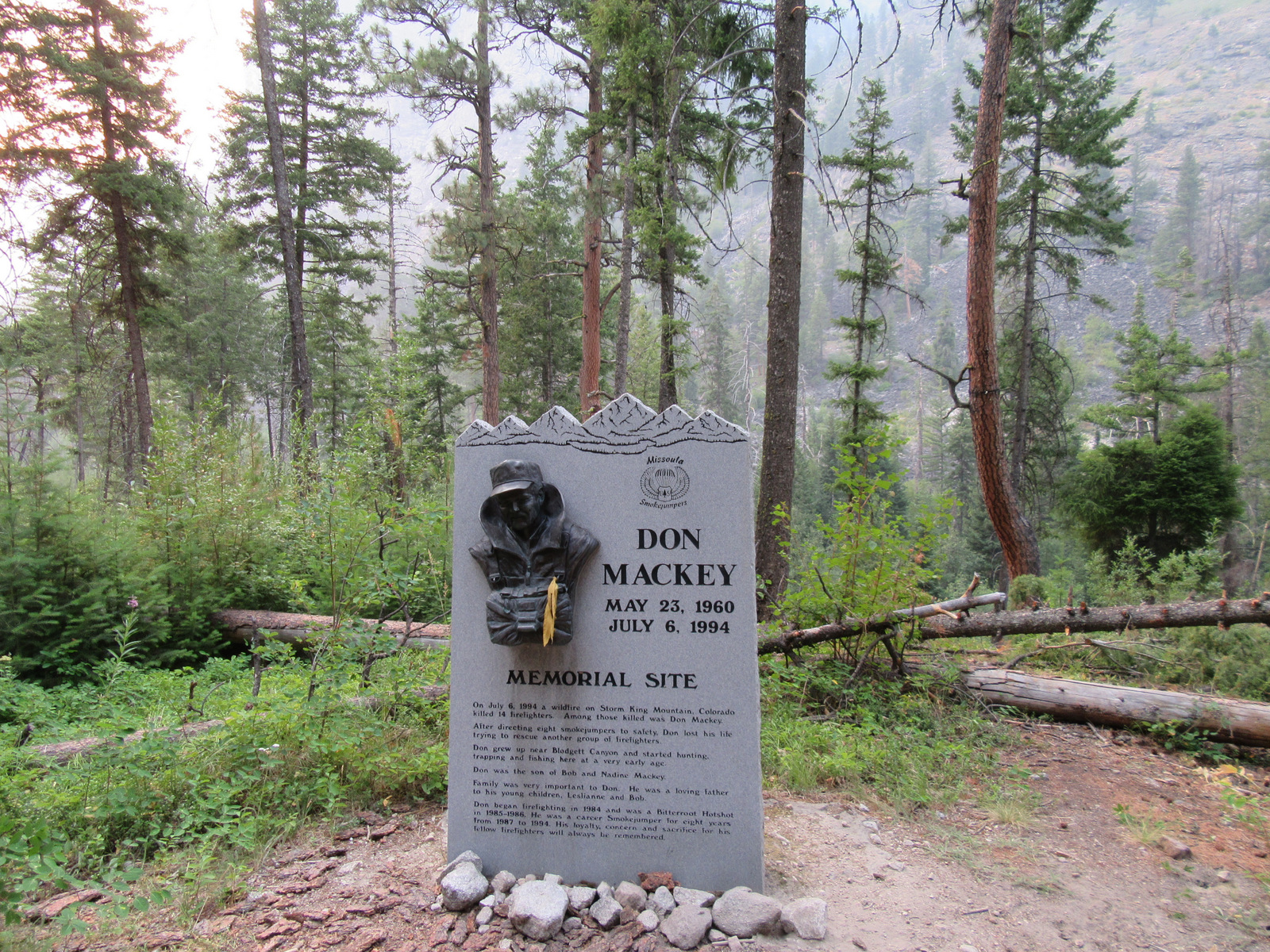
Blodgett Creek Trail leads 12.6 miles one-way to Blodgett Lake, but you do not have to go that far to appreciate its incredible beauty.  The trail climbs steadily as it follows the creek, passing the memorial to smokejumper Don Mackey on its way to two waterfalls: the first at 4.5 miles hidden in a slot canyon and the second a wide cascade only a half-mile further (for a cumulative elevation gain of 1,637 feet).  Leaving from a nearby trailhead, Blodgett Overlook Trail is a steep 2.8 miles out-and-back.  A similar trek with outstanding views, Bear Creek Overlook Trail climbs about 1,000 feet as it switchbacks 2.6 miles one-way.

Watchable Wildlife

On our backpacking trip into Blodgett Canyon we saw bats, many trout and a beaver dam in the creek, plus a variety of bird life, including a dipper (or ouzel) and a hairy woodpecker.  We also heard hermit thrushes and pikas calling in the rocky scree slopes.  The Bitterroot and Sapphire Mountains are home to elk, mule deer, white-tailed deer, bighorn sheep, mountain goats, and moose, as well as mountain lions, black bears, and grizzly bears (which were reintroduced starting in 2003).  Wildlife watchers should drive the U.S. Forest Service’s Sula Deer, Elk, and Bighorn Driving Tour.

Instagram-worthy Photo

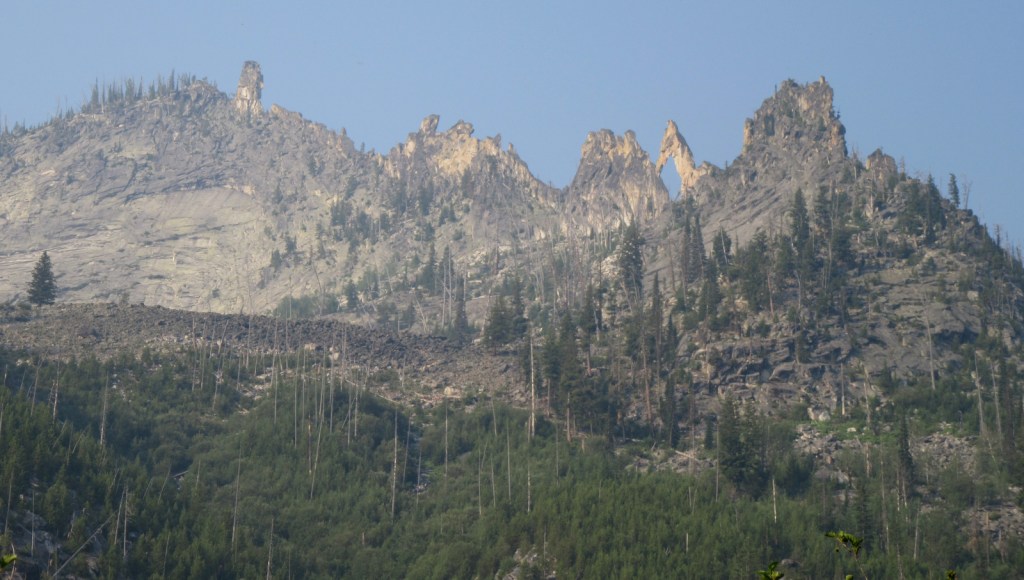
As you hike the Blodgett Creek Trail keep an eye on the ridgeline to the south for a massive natural arch that punches a hole in the skyline.

Peak Season

Summer

Fees

None

Road Conditions

The last three miles to Blodgett Trailhead were well-groomed dirt road and the route from Hamilton, Montana had signs at every turn.

Camping

Located on a creek, Blodgett Campground (fee) seemed like a nice spot, though it was a bit noisy and smoky on a weekend in mid-July.  We also read that Deep Creek Campground is nice and is located near the ruins of a 1930s Civilian Conservation Corps camp.

Wilderness Areas

Anaconda-Pintler Wilderness (also in Beaverhead-Deerlodge National Forest)

Frank Church-River of No Return Wilderness (also in Payette, Salmon-Challis, Boise, and Nez Perce National Forests)

Selway-Bitterroot Wilderness (also in Nez Perce, Clearwater, and Lolo National Forests)

[Allan Mountain Roadless Area]

Related Sites

Beaverhead National Forest (Montana)

Big Hole National Battlefield (Montana)

Yellowstone National Park (Wyoming-Montana-Idaho)

Nearest National Park

Glacier (Montana)

Conifer Tree Species

ponderosa pine, whitebark pine, lodgepole pine, Douglas-fir, western redcedar, subalpine larch, Engelmann spruce, subalpine fir, grand fir, western yew

Flowering Tree Species

quaking aspen, black cottonwood, bog birch, Rocky Mountain maple, red alder, red-osier dogwood, sagebrush

Explore More – How tall is Trapper Peak, the highest point in Bitterroot National Forest?

Beaverhead National Forest

Beaverhead National Forest

Montana

Managed by U.S. Forest Service, Northern Region

2,199,013 acres (2,130,671 federal/ 68,342 other)

Website: https://www.fs.usda.gov/bdnf

Overview

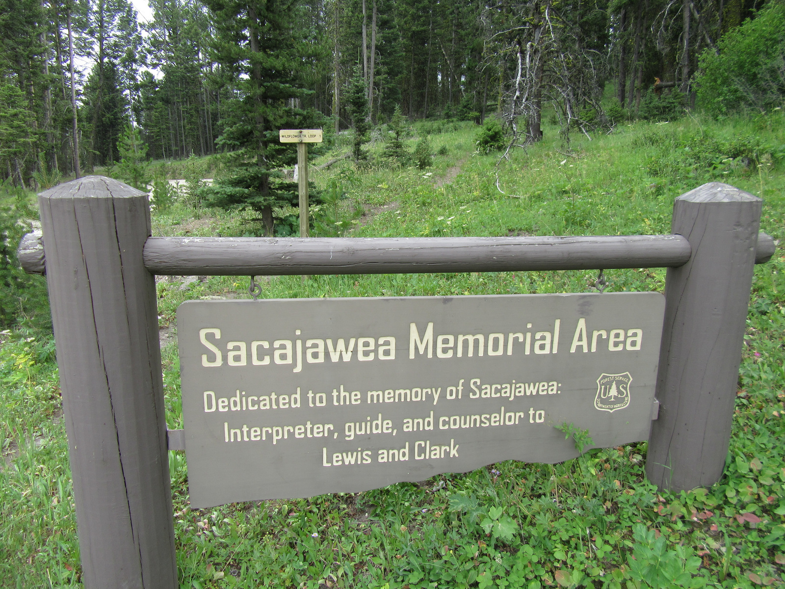
Co-managed since 1996, Beaverhead-Deerlodge National Forest is spread across multiple mountain ranges in the southwest corner of Montana.  The dividing boundaries between the two forests are unclear, though Beaverhead National Forest tends to be more southeast than Deerlodge National Forest and includes portions of the Beaverhead, Bitterroot, Centennial, Gravelly, Madison, Pioneer, Tendoy, and Tobacco Root Mountains.  Bordering Idaho’s Salmon National Forest, 7,323-foot Lemhi Pass is located on the Lewis and Clark National Historic Trail.  This is where the Corps of Discovery crossed the Continental Divide in 1805 and is why the Sacajawea Memorial Area was established here in 1932.

Highlights

Pioneer Mountains Scenic Byway, Lemhi Pass, Sacajawea Memorial, Chief Joseph Pass, Pintler Falls, Upper Potosi Hot Springs, Charcoal Kilns, Gravelly Range Auto Tour, Nez Perce National Historic Trail, Continental Divide National Scenic Trail

Must-Do Activity

It is about a 17-mile drive from Harrison, Montana back to the free Potosi Campground, but it is well signed and worth the effort.  From here a 0.8-mile trail leads to Upper Potosi Hot Springs, a clear 100°F pool with room for about six adults.  Further west, about ten miles north of Highway 278, is the privately owned Elkhorn Hot Springs (fee), a great place to relax after hiking around Big Hole National Battlefield (managed by the National Park Service).  If you keep driving north on Wise River Polaris Road (FR 484), there are plenty of dispersed campsites and trailheads for several long hikes into the Pioneer Mountains.

Best Trail

We only hiked less than a mile trail to Upper Potosi Hot Springs, but that trail keeps climbing three miles to the top of the ridge.  We read good reviews for Louise Lake National Recreation Trail (see note on Road Conditions below), Pioneer Lake National Recreation Trail, Browns Lake Trail, Blue Creek Trail, Sand Lake/Lily Lake Trail, and Gold Butte Trail.  Hopefully we will make it back here to go backpacking someday.

Watchable Wildlife

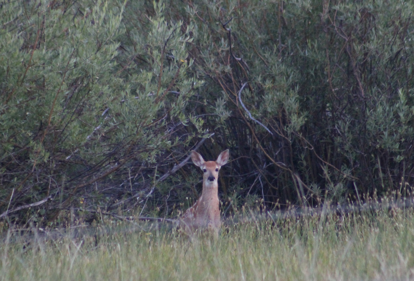
Beaverhead National Forest still has most of its pre-settlement carnivores: grizzly bears, black bears, mountain lions, Canadian lynx, coyotes, and gray wolves.  Grazing ungulate species include moose, elk, mule deer, white-tailed deer, bighorn sheep, mountain goats, and pronghorns.  We saw bald eagles and ospreys on our drive out from Upper Potosi Hot Springs.  Mountain whitefish, golden trout, cutthroat trout, rainbow trout, brook trout, lake trout, arctic grayling, and burbot are some of the gamefish sought by fishermen.

Instagram-worthy Photo

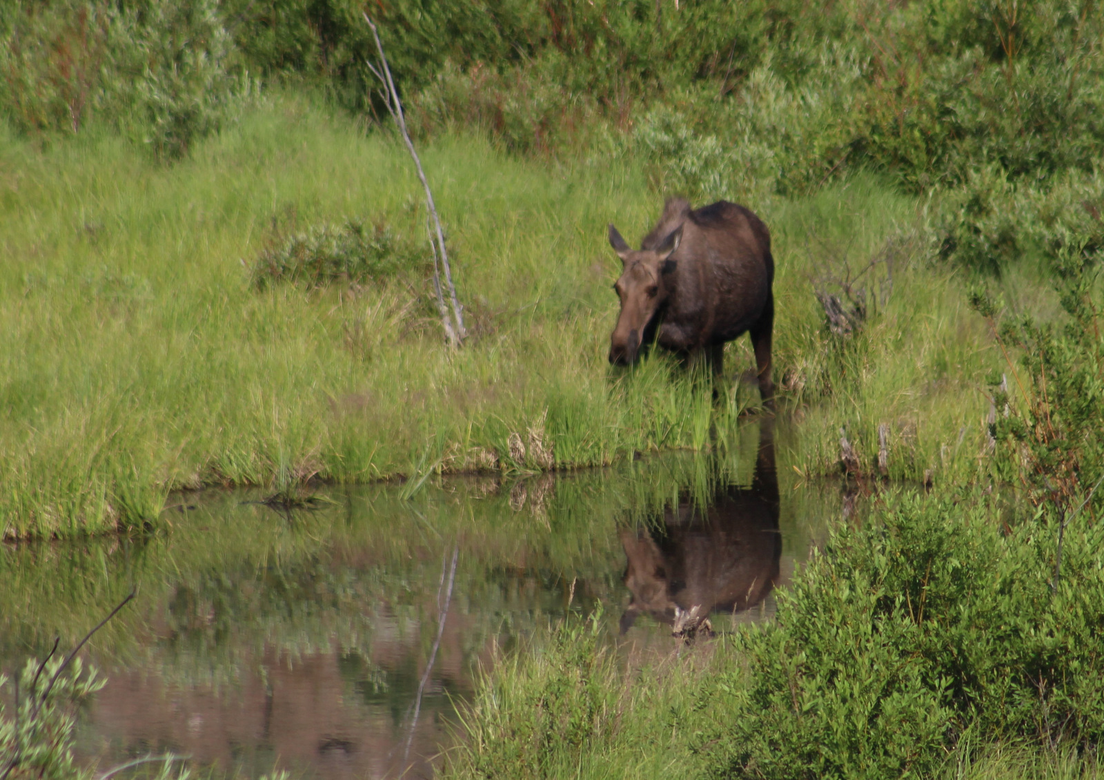
The ruins of a developed hot springs resort (located on private land) are visible from Upper Potosi Hot Springs.  Watch for moose downhill in South Willow Creek and a cute little garter snake that hangs out in the rocks by the pool (possibly year round if it stays warm enough not to hibernate).

Peak Season

Summer

Fees

None

Road Conditions

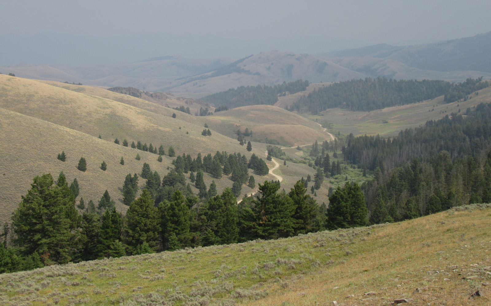
The dirt roads to Potosi Campground and over Lemhi Pass are both in very good condition, but we do not know about all the other dirt roads that cross the Continental Divide.  We read the access road to Louise Lake National Recreation Trail is pretty rough, requiring four-wheel drive the last two miles.

Camping

There are more than 20 spots to set up at Potosi Campground, which is free and located near the trailhead for Upper Potosi Hot Springs.  You will want a high-clearance vehicle to drive across South Willow Creek to the official trailhead, but there are also pedestrian bridges.

Wilderness Areas

Anaconda-Pintler Wilderness (also in Deerlodge and Bitterroot National Forests)

Lee Metcalf Wilderness (also in Gallatin National Forest)

Related Sites

Deerlodge National Forest (Montana)

Big Hole National Battlefield (Montana)

Grant-Kohrs Ranch National Historic Site (Montana)

Nearest National Park

Yellowstone (Wyoming-Montana-Idaho)

Conifer Tree Species

lodgepole pine, whitebark pine, ponderosa pine, Douglas-fir, Engelmann spruce, subalpine fir, subalpine larch

Flowering Tree Species

quaking aspen, balsam poplar, Bebb willow, sagebrush

Explore More – How tall is Hilgard Peak, the highest point in Beaverhead National Forest?