Natchez Trace Parkway
Mississippi-Alabama-Tennessee
Managed by National Park Service
Established 1938
52,302 acres
Website: nps.gov/natr
Overview
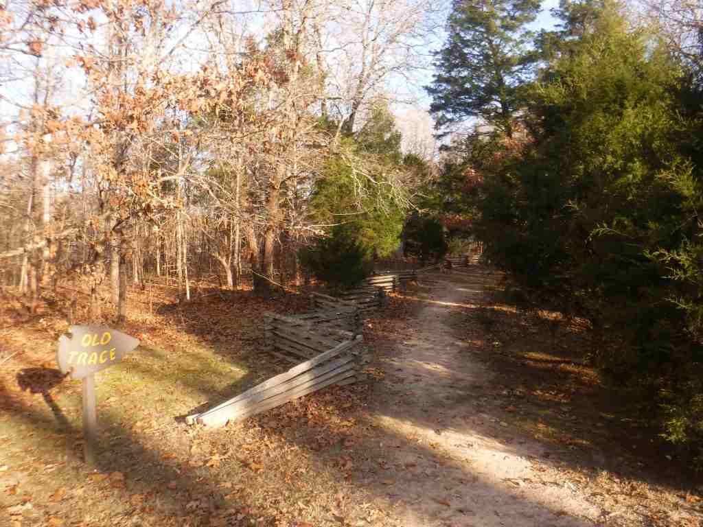
The National Park Service (NPS) administers the Natchez Trace Parkway, a two-lane All-American Road that extends 444 miles from Natchez, Mississippi to Nashville, Tennessee. The trace started as a game trail that was utilized as an American Indian footpath. Some of the mound builder sites protected here were inhabited when Hernando de Soto led the first Europeans into this area in 1540. The Natchez Trace was heavily used in the 1800s by “Kaintuck” flatboatmen returning from New Orleans who left the Mississippi River from Natchez, Mississippi and continued on foot north to Kentucky and beyond. Today you can still follow portions of the sunken trail worn down by travelers for centuries. The parkway began as a Civilian Conservation Corps (CCC) project during the Great Depression and the final two segments were completed in 2005.

Highlights
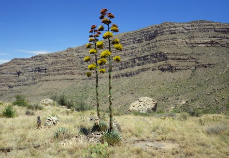
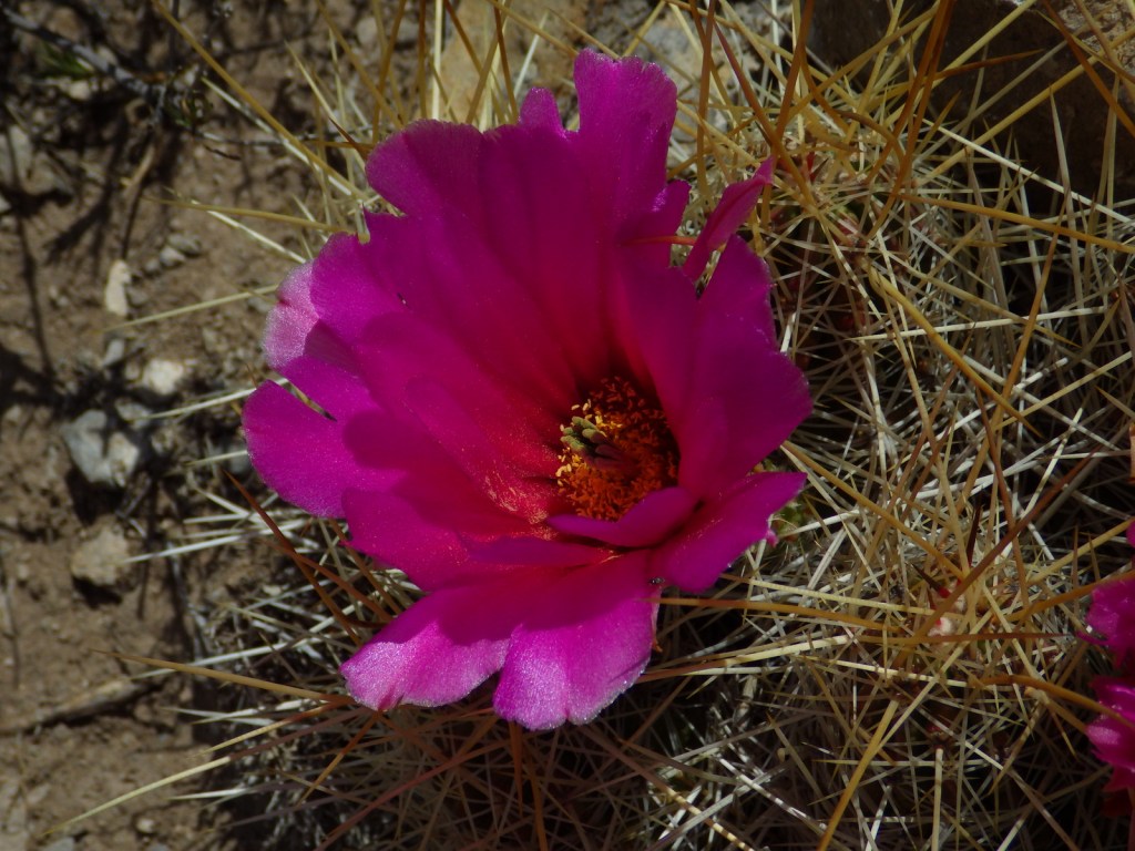
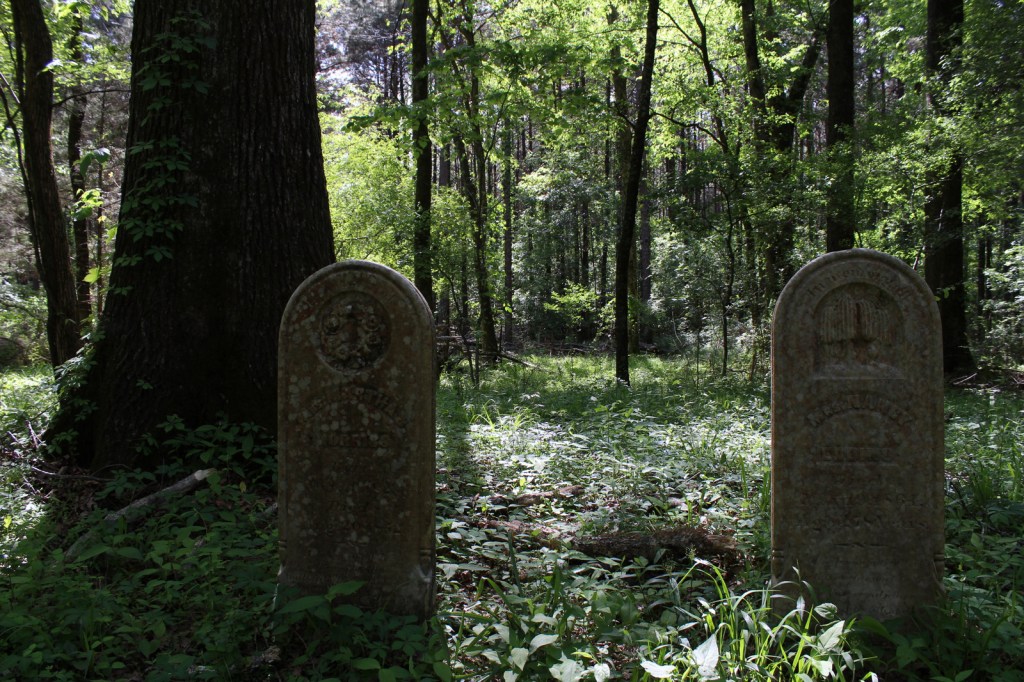
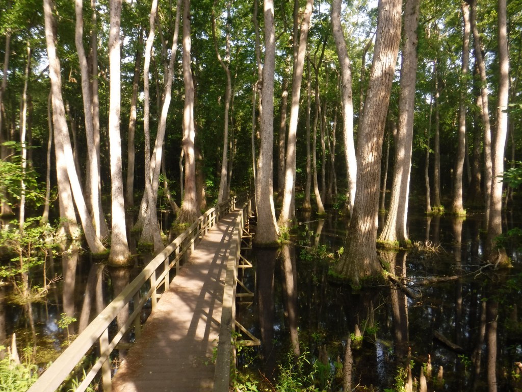
Rocky Springs, Owens Creek Waterfall, Emerald Mound, Mount Locust, Chickasaw Village, Meriwether Lewis Monument and Gravesite, Cypress Swamp Walk, Witch Dance Horse Trail, Natchez Trace National Scenic Trail
Must-Do Activity
Near Tupelo, the Parkway Visitor Center at Milepost 266 is a must-do stop to learn the history of the trace, and it also serves as the NPS contact station for tiny Brices Cross Roads National Battlefield Site and Tupelo National Battlefield. There are numerous roadside informational pullouts and trailheads along the route, so use the NPS app or pick up an official “unigrid” map. You can easily spend days exploring, but at a minimum we recommend you check out Emerald Mound, Mount Locust, Cypress Swamp, and Meriwether Lewis Monument and Grave Site.
Best Trail
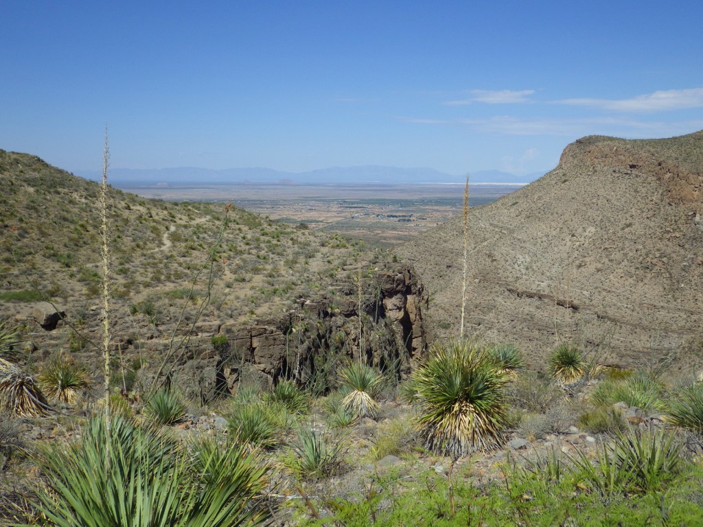
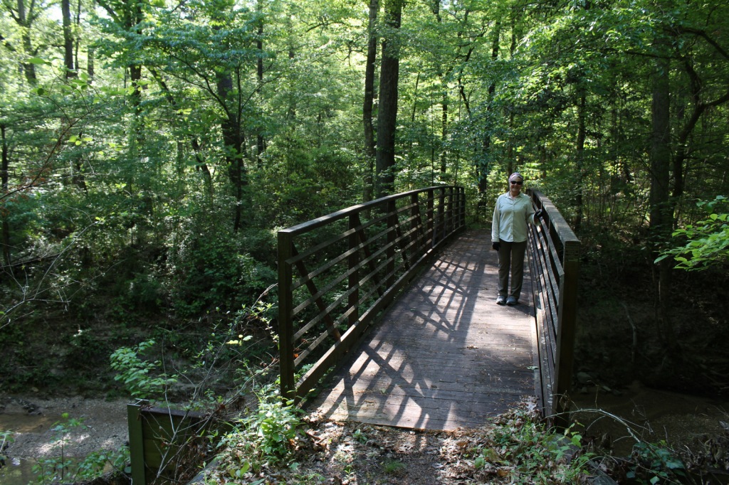
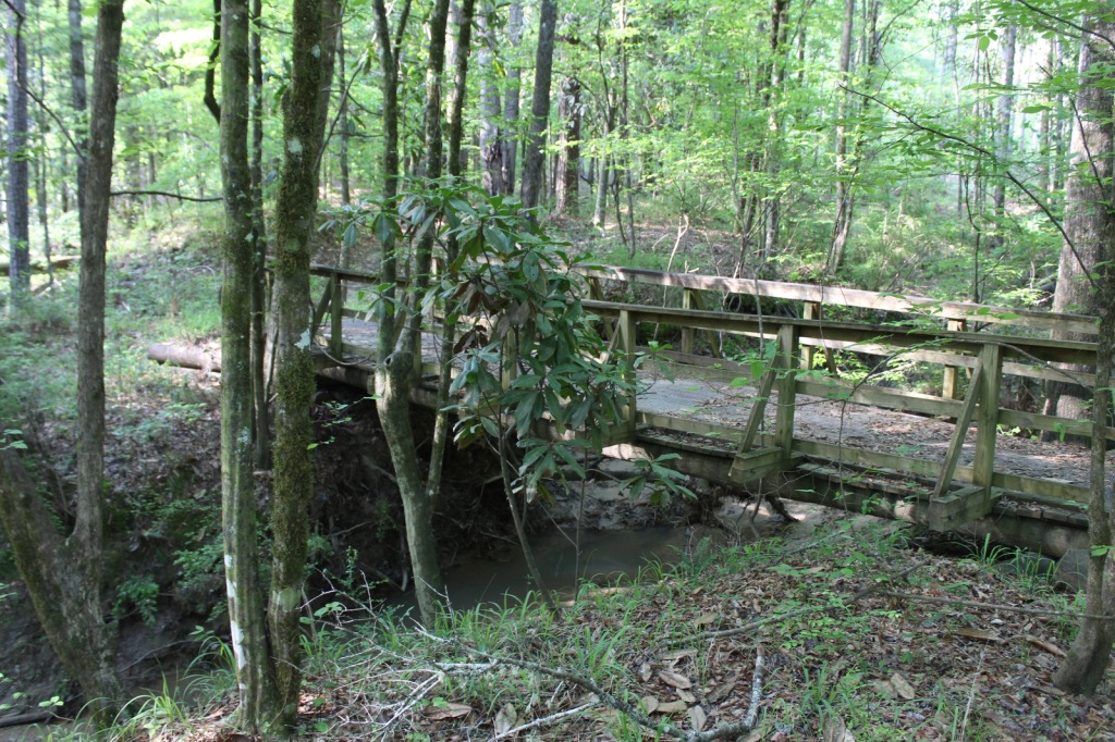
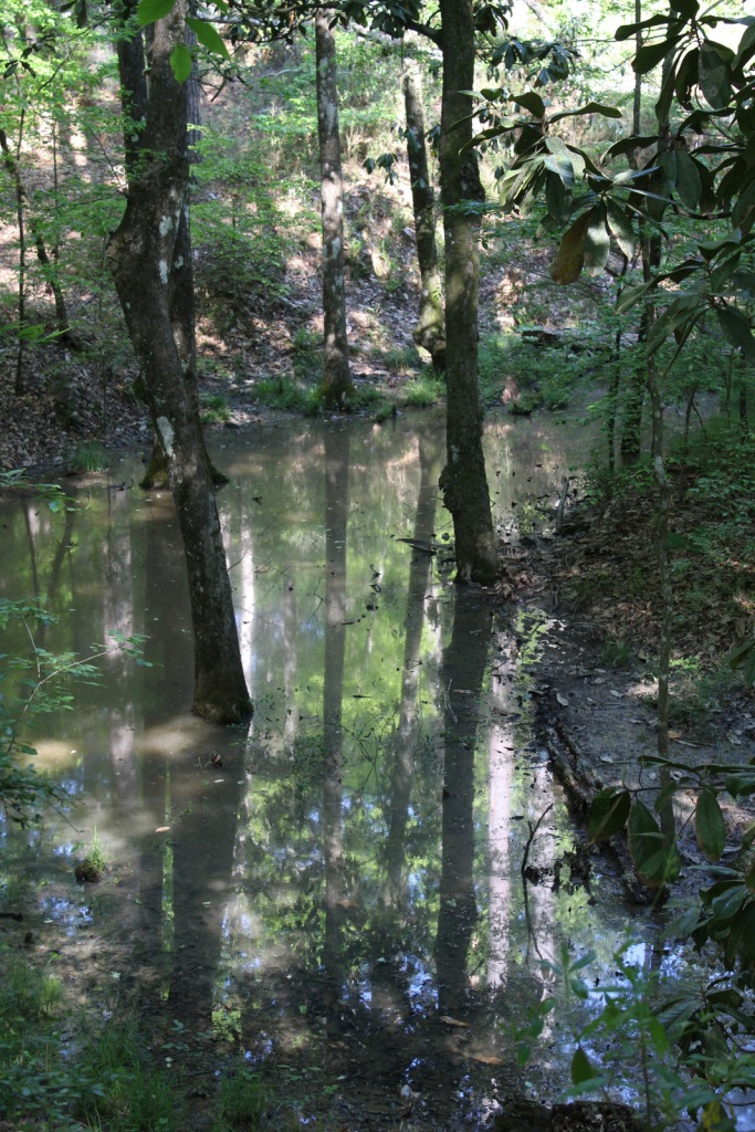
Our favorite trail is the Cypress Swamp Walk at Milepost 122, where a boardwalk crosses a scenic tupelo-baldcypress swamp. The Natchez Trace National Scenic Trail (click here for our blog post) does not follow the entire 444-mile parkway, but exists in five segments totaling 67 miles in length. There are also 15 miles of equestrian trails at Witch Dance (Milepost 233.2) in Tombigbee National Forest.
Photographic Opportunity
Not far from Natchez National Historical Park, Emerald Mound (a short detour at Milepost 10.3) is the second-largest American Indian ceremonial mound in the U.S. It stands 35 feet tall and 770 by 435 feet at its base.

Peak Season
Spring and fall
Hours
https://nps.gov/natr/planyourvisit/hours.htm
Fees
None
Road Conditions
The entire 444-mile Natchez Trace Parkway is paved from Natchez, Mississippi to Nashville, Tennessee with commercial traffic prohibited and a maximum speed limit of 50 miles per hour. There is a detour from Milepost 181 to 204 due to ongoing construction. Watch for bicycles and white-tailed deer on the road.
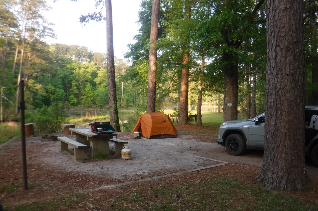
Camping
There are three free NPS campgrounds (at Milepost 54, 193.1, and 385.9) along the route, as well as those in sites like Mississippi’s Tishomingo State Park. The three NPS campgrounds have water and bathrooms (but no RV hookups), plus there are also five bike-only campsites along the route. Jeff Busby Campground closed in June 2025 for repairs.
Related Sites
Natchez National Historical Park (Mississippi)
Tupelo National Battlefield (Mississippi)
Brices Cross Roads National Battlefield Site (Mississippi)
Vicksburg National Military Park (Mississippi)
Nearest National Park


Explore More – When were Ackia Battleground National Monument and Meriwether Lewis National Monument disbanded and added to the Natchez Trace Parkway?