Category Archives: Wisconsin

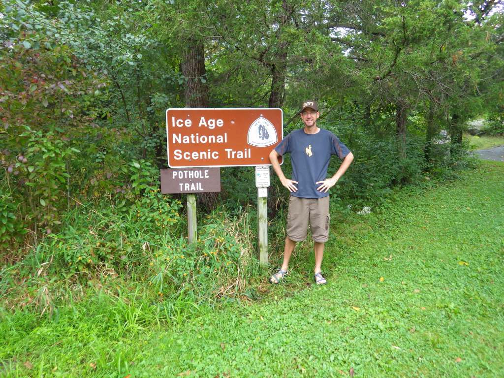
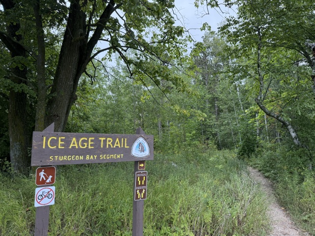
Ice Age National Scenic Trail

Ice Age National Scenic Trail

Wisconsin

Managed by National Park Service

Established 2023

1,200 miles

Website: nps.gov/iatr

Overview

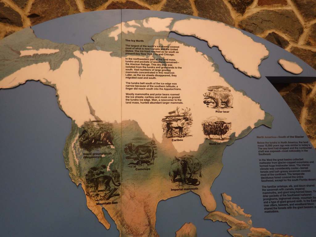
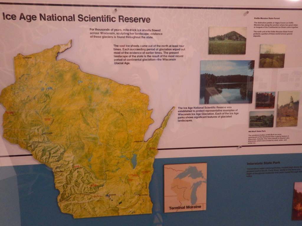
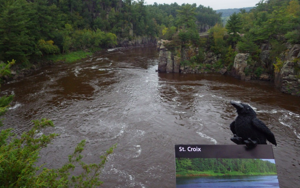
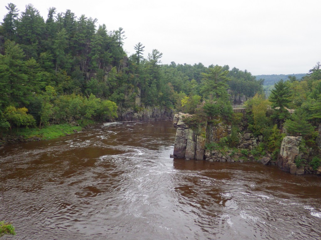
We are currently in an ice age that has lasted 2.58 million years with climate fluctuations leading to melting during warmer interglacial periods, such as the one we are experiencing today.  The Wisconsin Glaciation was the most recent in North America, which began roughly 100,000 BP (years Before Present) and reached its greatest extent 20,000 BP, and then repeatedly retreated and readvanced until finally ending 10,000 BP.  As the ice melted, gorges were carved at the Dalles of the St. Croix River and the Wisconsin Dells.  In 1958, conservationist Ray Zillmer conceived of the idea of an Ice Age National Park in Wisconsin, and after his death, Congressman Henry S. Reuss sponsored a bill establishing the multi-unit Ice Age National Scientific Reserve.  In 1980, Ruess passed a bill creating the Ice Age National Scenic Trail, which was first thru-hiked the year prior by 20-year-old James J. Staudacher.  In 2023, it officially became a National Park Service unit (along with North Country National Scenic Trail), although it is primarily managed by volunteers through the non-profit Ice Age Trail Alliance (www.iceagetrail.org).

Ice Age National Scenic Trail is covered in my newest travel guidebook American History 101, which will be released in November 2026.
Highlights

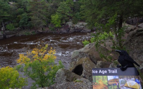
Interstate State Park, Chequamegon National Forest, Devil’s Lake State Park, Gibraltar Rock, Cross Plains State Park, Kettle Moraine, Potawatomi State Park

Must-Do Activity

The National Park Service has an administrative office in the 1,200-acre Glacial Passage Area that includes Cross Plains State Park and meltwater-carved Wilkie Gorge.  Here visitors can get their Junior Ranger book (or print one at home) and passport stamps, which are also available at Devil’s Lake State Park, Interstate State Park, Chippewa Moraine State Recreation Area, Northern Kettle Moraine State Forest, and St. Croix National Scenic Riverway.  In addition to enjoying forest scenery and wildlife sightings, a great part of hiking the trail is learning geology terminology like kame, drumlin, kettle moraine, pothole, esker, and glacial erratic.

Best Trail

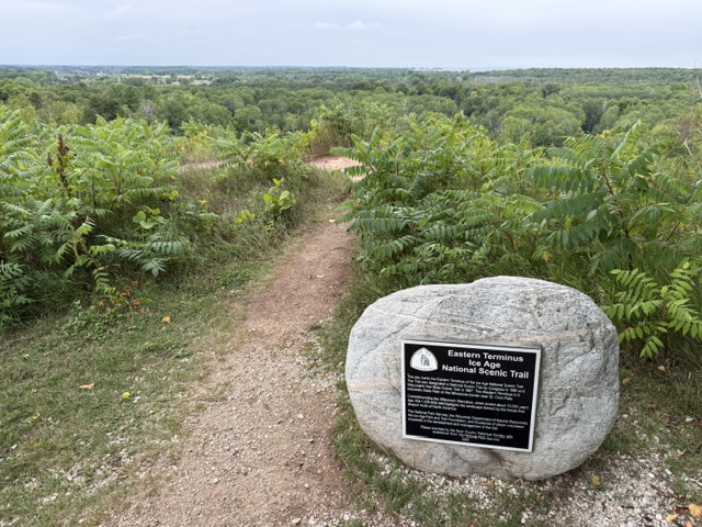
The 1,200-mile trail is composed of over 100 segments from Interstate State Park on the St. Croix River east to Potawatomi State Park on the Door Peninsula.  There are 675 miles of trail completed, connected by a series of road walks.  The trail splits in two for a stretch north of Devil’s Lake State Park, with the eastern portion more developed currently.

Photographic Opportunity

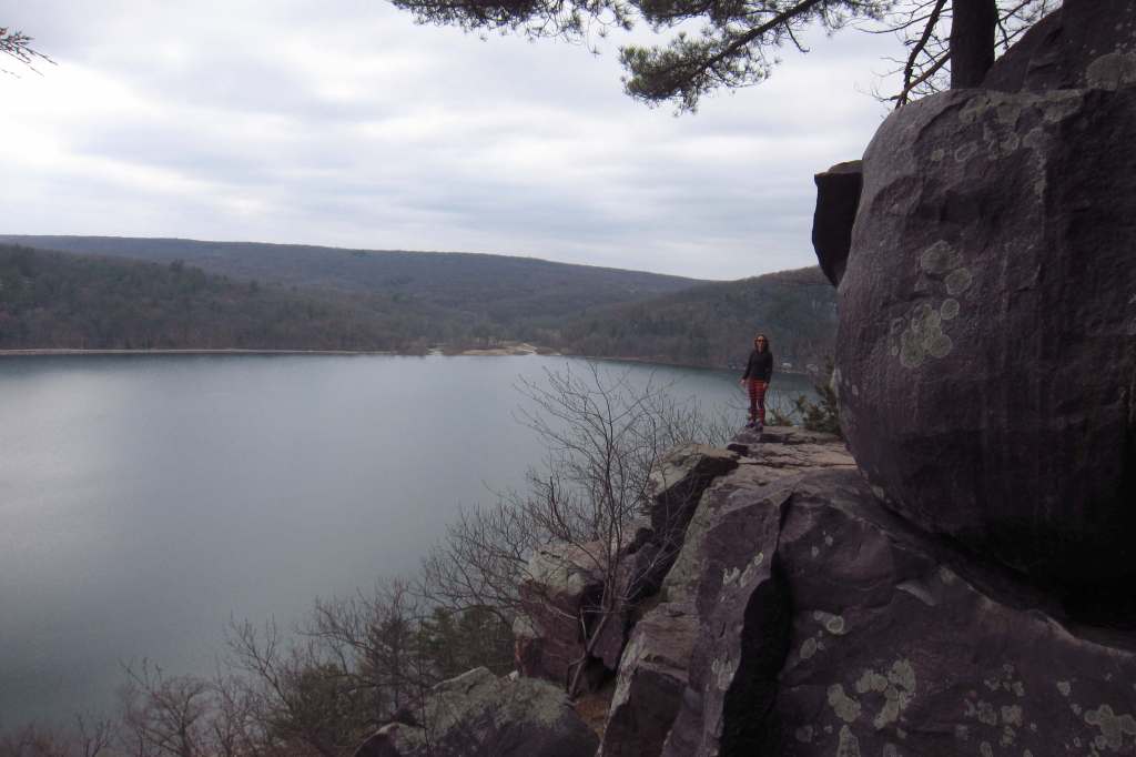
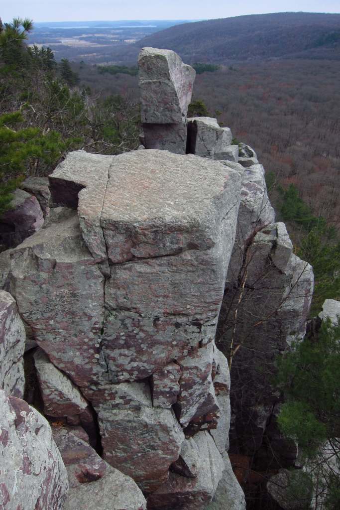
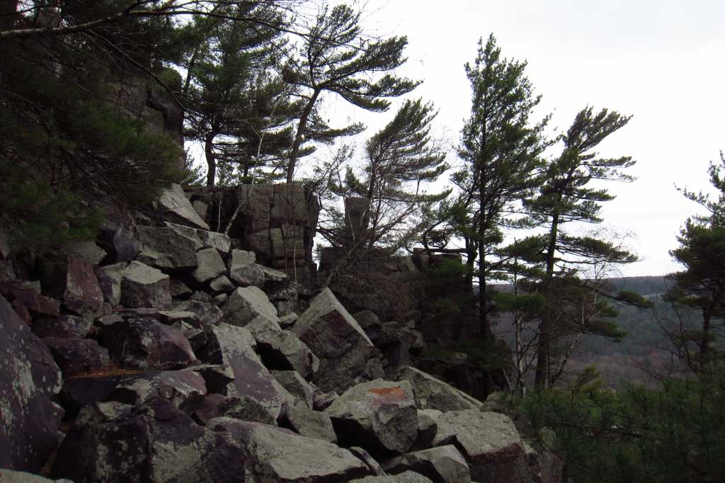
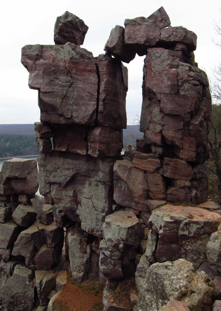
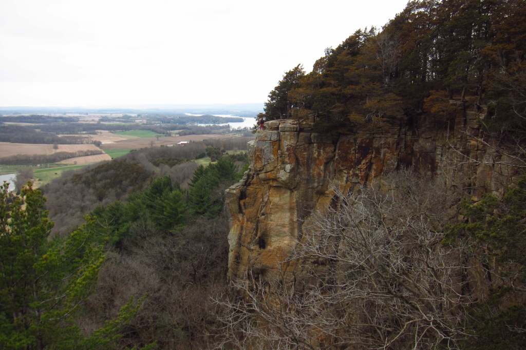
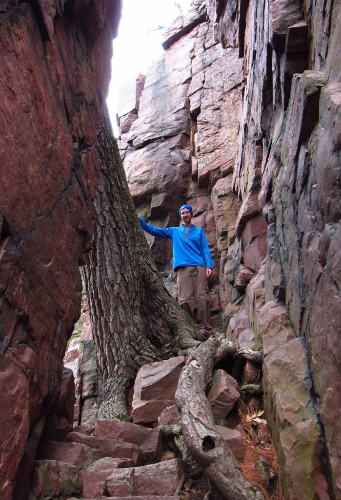
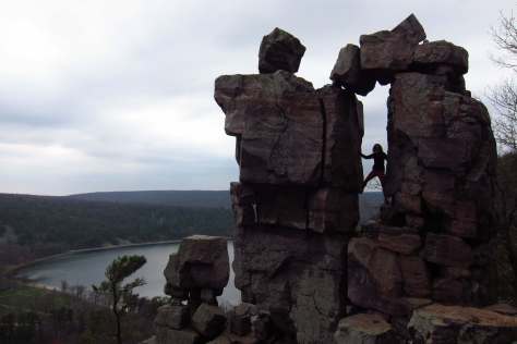
In Devil’s Lake State Park, the famous Devil’s Doorway quartzite formation is accessed by a 2.1-mile loop trail that gains 488 feet of elevation cumulatively.  The park also contains a bird effigy mound, like the ones seen in Effigy Mounds National Monument in Iowa.
Peak Season

Summer

Hours

https://www.nps.gov/iatr/planyourvisit/basicinfo.htm

Fees

$16 per vehicle ($13 for Wisconsin plates) at State Parks (and America the Beautiful passes are also accepted)

Road Conditions

Many portions of the trail involve road walking, so watch for pedestrians while driving.

Camping

Some parts of the trail allow camping anywhere, but others have designated sites so it is important for thru-hikers to plan carefully.  Interstate and Devil’s Lake State Parks offer developed campgrounds (fee). 

Related Sites

St. Croix National Scenic Riverway (Wisconsin-Minnesota)

Apostle Islands National Lakeshore (Wisconsin)

Chequamegon National Forest (Wisconsin)

Nearest National Park
Isle Royale

Explore More – Why was a ten-mile connector built off the Ice Age Trail to reach Timms Hill?

Chequamegon National Forest

Chequamegon National Forest

Wisconsin

Managed by U.S. Forest Service, Northeastern Region

1,049,540 acres (868,392 federal/ 181,148 other)

Website: https://www.fs.usda.gov/cnnf

Overview

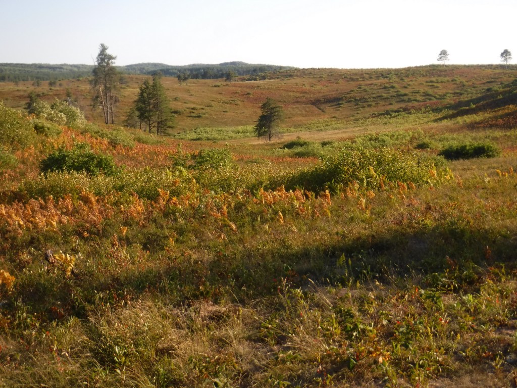
Chequamegon National Forest gets its name from Lake Superior’s Chequamegon Bay, which is derived from the Ojibwe word for the bay’s prominent sand bar on the east side of Wisconsin’s Bayfield Peninsula.  Managed as Chequamegon-Nicolet National Forest since 1998, the more western Chequamegon National Forest contains a 61-mile stretch of the North Country National Scenic Trail and 49 miles of the Ice Age National Scenic Trail that winds through Wisconsin.  On the Bayfield Peninsula is Moquah Pine Barrens National Natural Landmark, first set aside by the Forest Service in 1935 to study its red pine savannah and upland jack pine barrens.  The Moquah Pine Barrens is notable for its summer wildflower bloom and fall berry picking.

Highlights

Great Divide Scenic Byway, Drummond Woods, Valhalla Recreation Area, South Fork of Flambeau River, Mondeaux Dam Recreation Area, Moquah Barrens National Natural Landmark, Clam Lake, Schumland Wetland Area, Chequamegon Water Flowage, Tucker Lake Hemlocks Natural Area, Morgan Falls, St. Peter’s Dome, West Torch Ski Trail, Mukwonago Ski Trail, Camba Mountain Bike Trail, Mt. Valhalla, Caro Forest Trail, West Twin Lake Trail, Aldo Leopold Commemorative Trail, North Country National Scenic Trail, Ice Age National Scenic Trail

Must-Do Activity

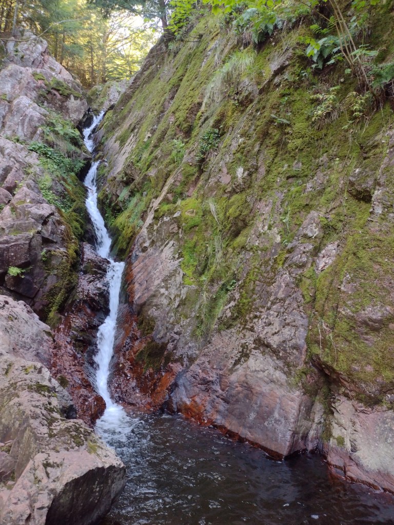
St. Peter’s Dome and Morgan Falls Recreation Area (fee) is the most developed site in Chequamegon National Forest.  A wide, level trail with new bridges leads 0.75 miles one-way to Morgan Falls, which tumbles 70 feet down a narrow rock crevice.  The trail splits and becomes steeper as it ascends to St. Peter’s Dome, a rock outcropping that offers views north to Chequamegon Bay and the Apostle Islands.  To visit both spots is a 3.8-mile roundtrip hike with an elevation gain of 500 feet.  Make sure you have good directions before you go because the drive to the trailhead has unsigned turns on unpaved back roads. 

Best Trail

In the southern portion of the National Forest, the Aldo Leopold Commemorative Trail is a 1.2-mile out-and-back hike that follows a glacial esker above a wetland near the Mondeaux Flowage.  The path is lined with wooden boards with quotes from the famous ecologist who wrote his seminal book A Sand County Almanac (see our Top 10 Books about Trees and Forests) at his Wisconsin farm. 

Watchable Wildlife

Gray wolves and elk have been reintroduced to Chequamegon National Forest, in addition to native moose, black bears, red foxes, raccoons, rabbits, beavers, river otters, and (of course in Wisconsin) badgers.  Common loons with their distinctive calls are the most iconic bird of the North Woods, with other notable species being barred owls, bald eagles, common ravens, turkeys, ruffed grouse, and boreal chickadees.  Fishing is a big deal in this part of the world and Hayward, Wisconsin is home to the Freshwater Fishing Hall of Fame (where you can stand in the mouth of a giant muskie sculpture).  Major gamefish include lake trout, rainbow trout, small and largemouth bass, crappie, walleye, northern pike, and muskellunge (muskie). 

Instagram-worthy Photo

It might require a bit of creative climbing to get a good photo of Morgan Falls, located only 1.5 miles roundtrip from the trailhead (fee).

Peak Season

Summer and fall

Fees

There is a $5 day-use fee to park at the trailhead for St. Peter’s Dome and Morgan Falls Recreation Area.

Road Conditions

The road through the Moquah Barrens is paved, and even the sand-surfaced roads were all in good shape during our visits.

Camping

There are developed campgrounds throughout the National Forest and nearby Apostle Islands National Lakeshore, but we have always dispersed camped off the back roads on the Bayfield Peninsula, including a pleasant night spent on the Moquah Barrens.

Wilderness Areas

Porcupine Lake Wilderness

Rainbow Lake Wilderness

Related Sites

Apostle Islands National Lakeshore (Wisconsin)

St. Croix National Scenic Riverway (Wisconsin-Minnesota)

Keweenaw National Historical Park (Michigan)

Nearest National Park
Isle Royale

Conifer Tree Species

jack pine, red pine, eastern white pine, balsam fir, black spruce, white spruce, northern white-cedar, tamarack, balsam fir, eastern hemlock

Flowering Tree Species

sugar maple, red maple, mountain maple, black ash, white ash, basswood, yellow birch, paper birch, river birch, northern red oak, white oak, black oak, American beech, quaking aspen, bigtooth aspen, balsam poplar, white ash, beaked hazelnut, tag alder

Explore More – The 636-acre Moquah Barrens Research Natural Area was established in 1935 and named a Wisconsin State Natural Area in 1970, but when was it designated a National Natural Landmark?
Learn more about Chequamegon and the 154 other National Forests in our new guidebook Out in the Woods

We are a participant in the Amazon Services LLC Associates Program, an affiliate advertising program designed to provide a means for us to earn fees by linking to Amazon.com and affiliated sites.

St. Croix National Scenic Riverway

Overview

Since 1972, about 255 miles of the St. Croix and Namekagon Rivers have been protected along the Minnesota-Wisconsin border.  It is a popular route for paddlers and tube floaters, in addition to providing invaluable habitat for a variety of wildlife, including beavers, great blue herons, and 40 species of native mussels.  There are a few dams along the rivers and regulations vary by who manages different sections, so it is important to know the rules before you launch your boat.

Highlights

Trego Nature Trail, Sandrock Cliffs, Interstate State Parks

Must-Do Activity

There is a long scenic byway that follows the St. Croix River north from its confluence with the Mississippi River (south of Minneapolis) near the Great River Road Visitor Center in Prescott, Wisconsin.  The National Park Service (NPS) manages the seasonal Namekagon River Visitor Center on a stretch of water that is good for floating.  If you do not have a boat, just down the road try the 2.8-mile roundtrip Trego Nature Trail that follows the Namekagon River through a forest of white pine, bigtooth aspen, and paper birch trees.

Best Trail

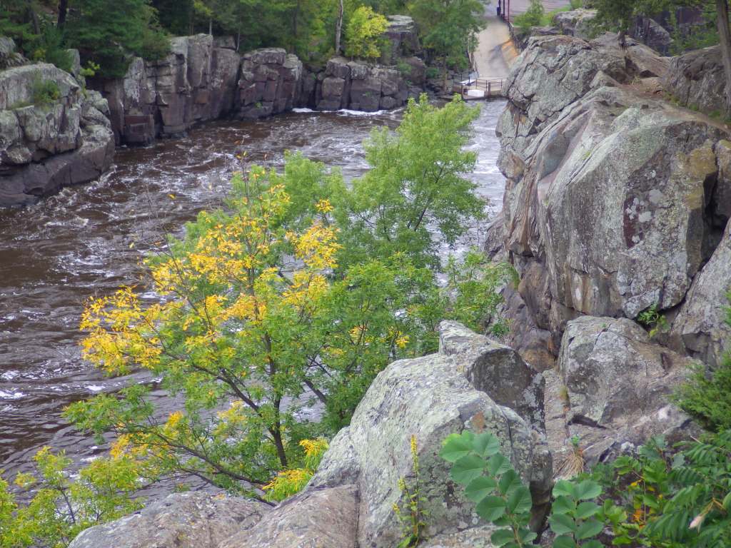
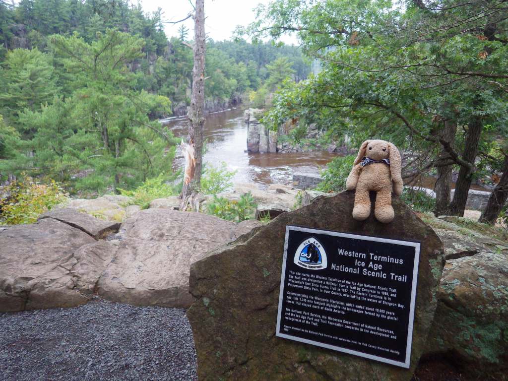
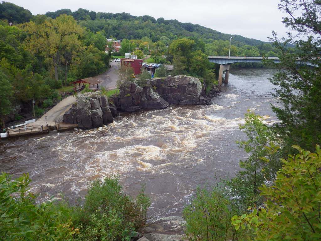
Wisconsin Interstate State Park is located on the St. Croix River and is the western terminus for the partially completed 1,200-mile long Ice Age National Scenic Trail.

Instagram-worthy Photo

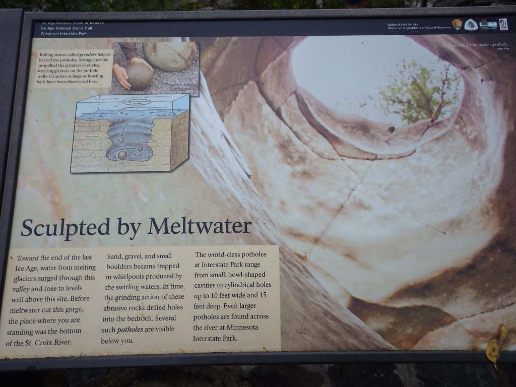
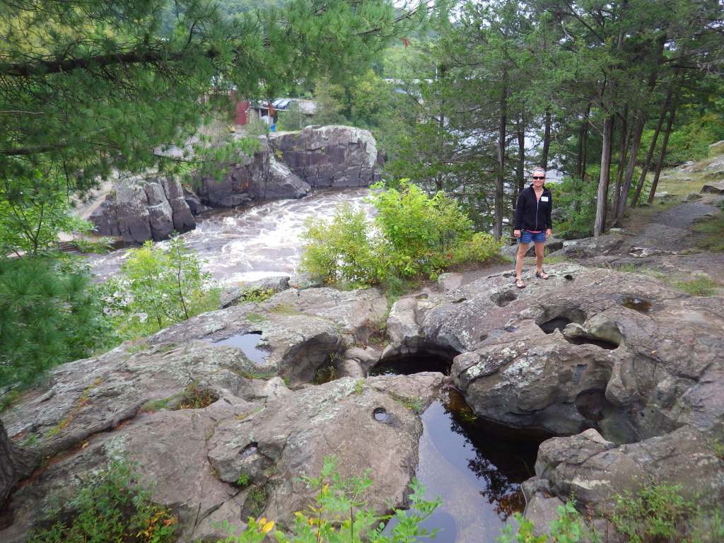
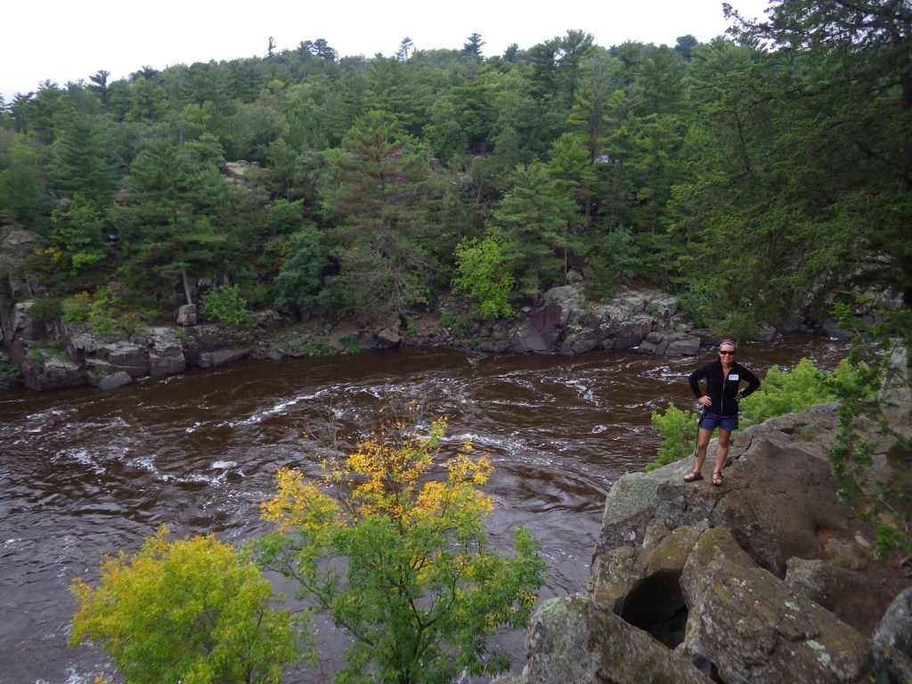
Both Minnesota and Wisconsin Interstate State Parks are great places to learn about potholes (up to 15-foot deep bowls carved into solid rock) formed by boulders caught in whirlpools during glacial melting.

Peak Season

Summer

Hours

https://www.nps.gov/sacn/planyourvisit/hours.htm

Fees

None

Road Conditions

All main roads are paved, but some (like the side road to Trego Nature Trail) are good gravel.

Camping

Developed campgrounds can be found in the numerous state parks and state forests along the rivers.  Only designated riverside campsites can be used by those paddling (except in the Stillwater Islands area), but no reservations are accepted.

Related Sites

Mississippi National River and Recreation Area (Minnesota)

Apostle Islands National Lakeshore (Wisconsin)

Voyageurs National Park (Minnesota)

Explore More – A major proponent of creating this park, Senator Gaylord Nelson was born in Clear Lake, Wisconsin and helped pass the Wild and Scenic Rivers Act, as well as founding what annual holiday in 1970?

Apostle Islands National Lakeshore

Overview

Twenty-one of the 22 islands within this archipelago jutting from northern Wisconsin into Lake Superior are part of Apostle Islands National Lakeshore.  This region is famous for its lighthouses and concessionaires offer tours to see them if you do not have your own boat.  Kayakers come for the sea caves carved into Sand Island, Devils Island, and the mainland (accessible on foot after the lake freezes in winter).

northwoods-2013-988.jpg

Highlights

Islands, lighthouses, boating, camping, sea caves

Must-Do Activity

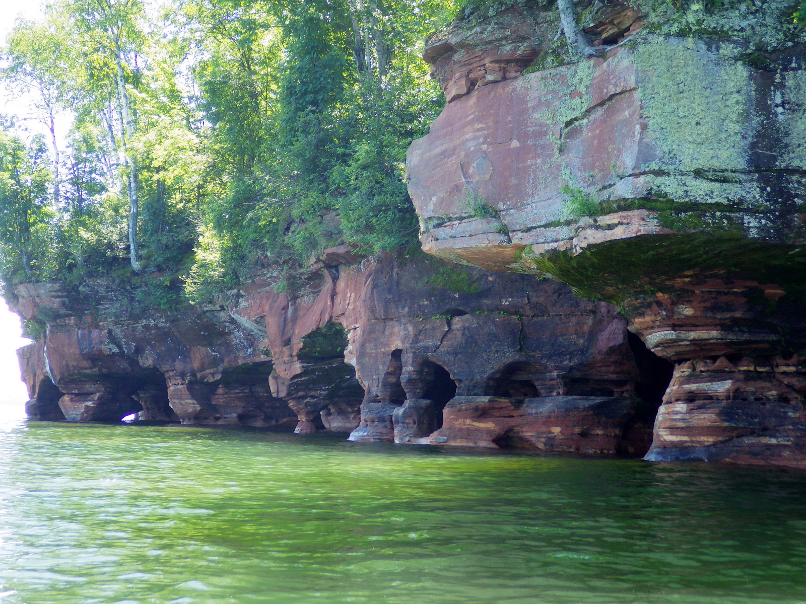
Even though this is a freshwater lake, Sand Island has sea caves carved into the billion-year-old sandstone cliffs by constant wave action.  Located only 4 miles from shore, the Sand Island sea caves are carved nearly 50 feet into the rock and can be carefully navigated by kayak.

Best Trail

Sand Island was closed at the time of our visit due to black bear activity, but it is one of the few islands that has a hiking trail (Stockton, Basswood, and Outer being others).  Lakeshore Trail on the west side of the Bayfield Peninsula offers a trail on the mainland.

Instagram-worthy Photo

You will need a kayak and a steady hand to take photographs while paddling through the sea caves on the east side of Sand Island.

Northwoods 2013 927.JPG

Peak Season

Summer

Hours

https://www.nps.gov/apis/planyourvisit/hours.htm

Fees

None to visit, but there are fees to camp on the islands and for concessionaire boat tours.

Road Conditions

Most roads on the Bayfield Peninsula are paved and the sandy roads through Chequamegon National Forest were passable by all vehicles.

Camping

Many visitors come with their own boat to camp on one of the 18 islands with sites (permit required and reservations recommended).  Car camping is available at Big Bay State Park on Madeline Island (ferry service) and throughout Chequamegon National Forest on Bayfield Peninsula.

The outside of the Apostle Island Visitor's Center
Pick up your camping permits at this historic Visitor Center.
Northwoods 2013 710
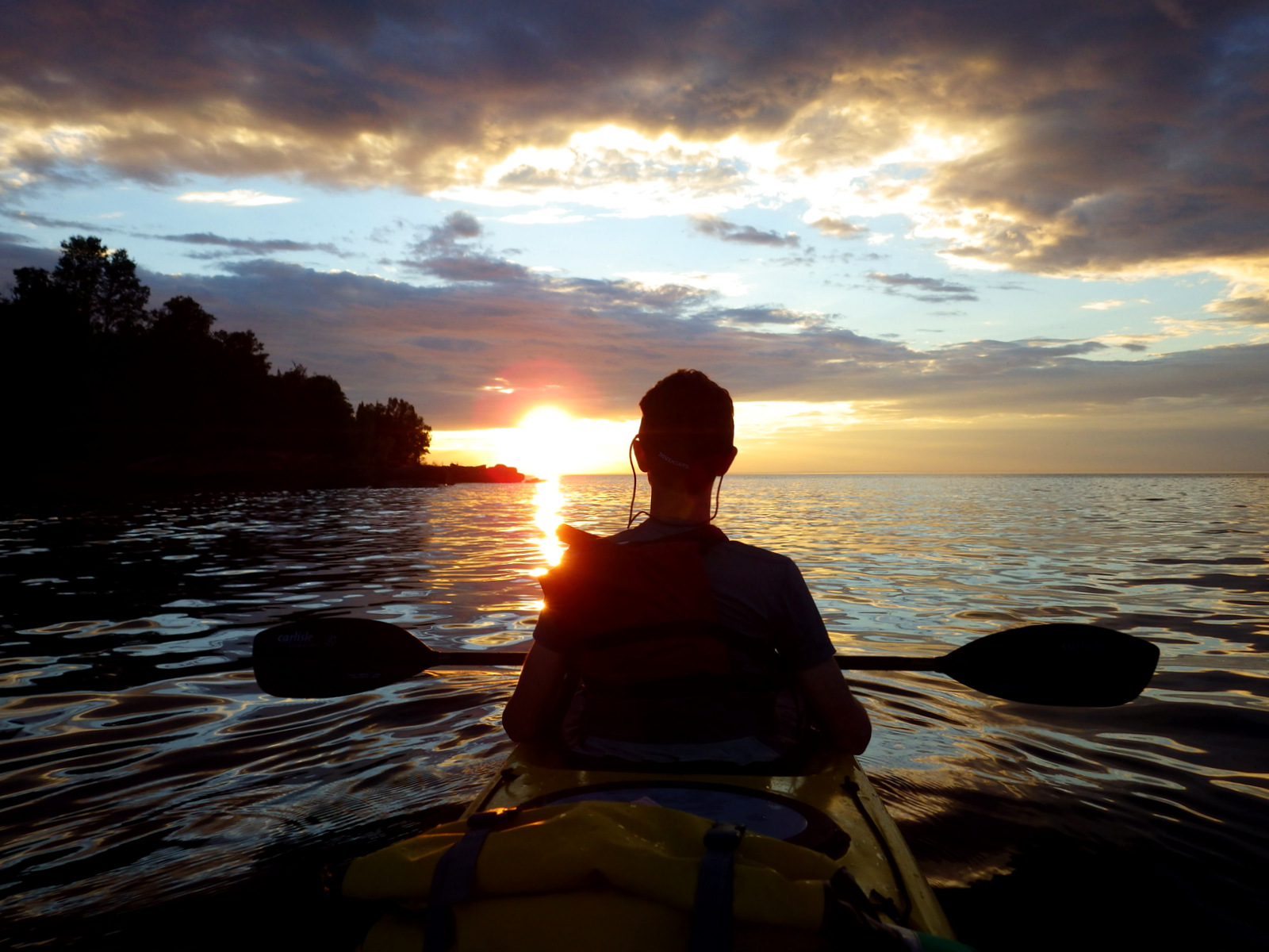
Sunset on Lake Superior.
The sandy beach at York Island
York Island
Northwoods 2013 665
Our campsite on York Island.

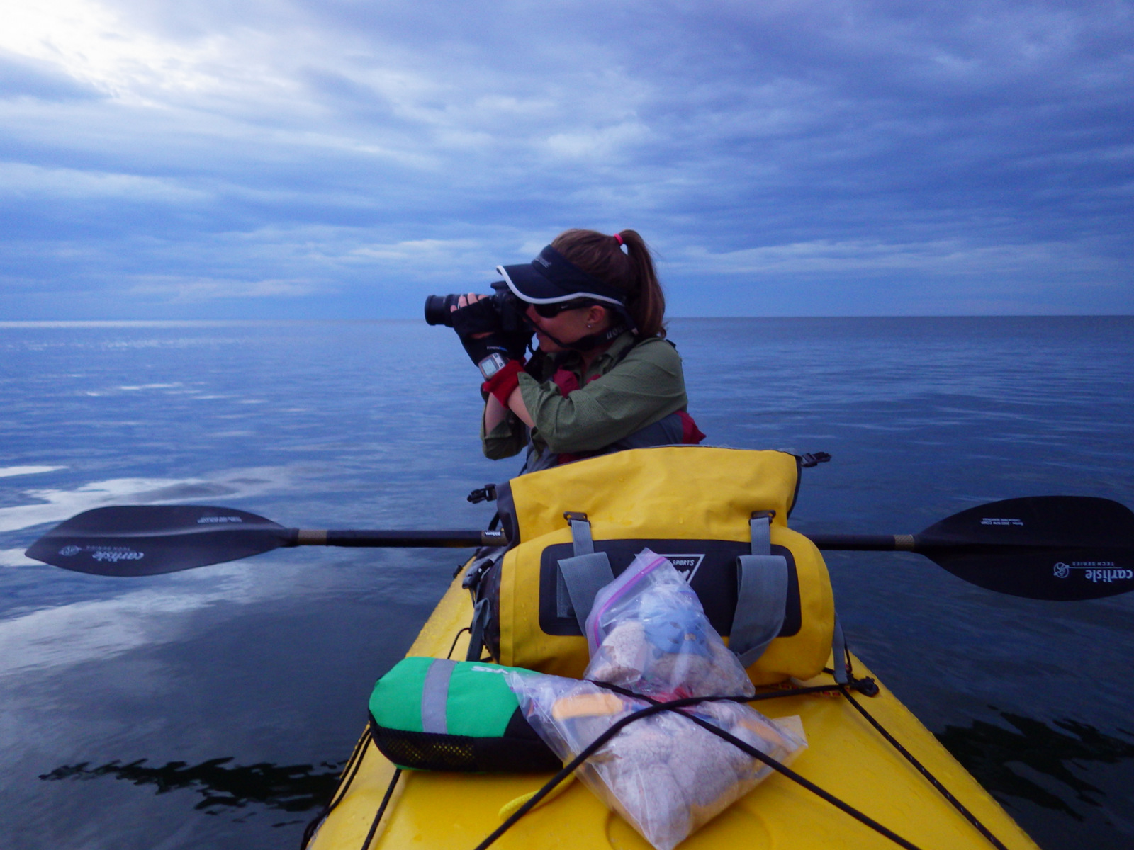
Tiff taking pictures on Bananas (with Wondon in his baggies)

Northwoods 2013 780
Sand Island Lighthouse
They were pretty stunning
Sea caves on Sand Island.

Northwoods 2013 856

It looks alien
A view of the sea cave arch from underwater.

Explore More – When was Long Island added as the twenty-first island in the park?

1WonsTiny2

WONDON WAS HERE