Tag Archives: National Scenic Area

Mt. Hood National Forest

Mt. Hood National Forest

Oregon

Managed by U.S. Forest Service, Pacific Northwest Region

1,117,921 acres (1,071,446 federal/ 46,475 other)

Website: https://www.fs.usda.gov/r06/mthood

Overview

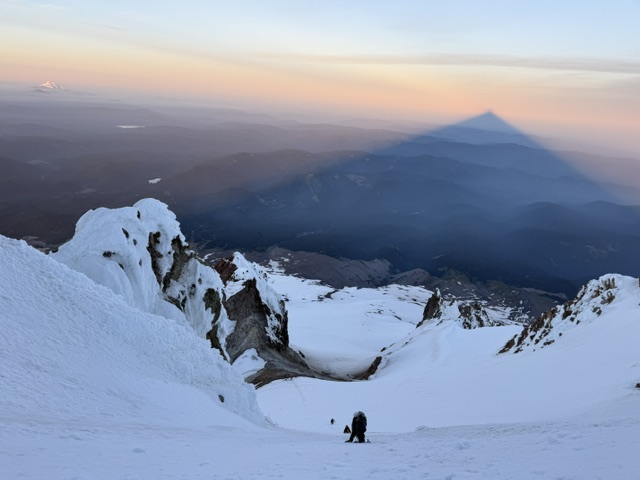
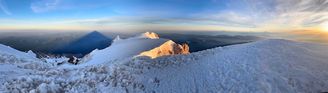
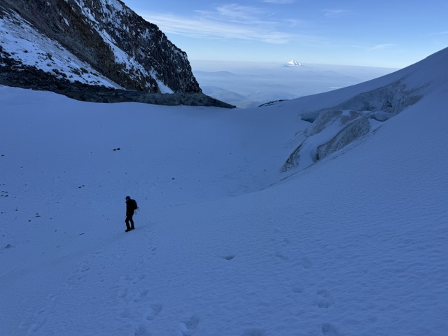
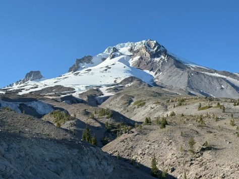
Mt. Hood National Forest is named for the 11,249-foot-tall stratovolcano that dominates the skyline east of Portland.  It has 12 glaciers that feed the amazing waterfalls of the region, several of which you can drive right up to in Columbia River Gorge National Scenic Area (see our blog post).  This area was first established as the Bull Run Forest Reserve in 1892 and was considered for National Park status beginning in 1940.  One famous destination is Bagby Hot Springs (fee), accessible by a 1.4-mile trail to hand-hewn tubs with cedar plumbing.  The lower bathhouse contains three individual log tubs and one six-foot round tub, while the upper bathhouse contains another six-foot round tub on an open deck.

Know someone who loves the National Forests? Gift them our travel guidebook Out in the Woods so they can learn more about all 155 National Forests.
Highlights

Columbia River Gorge National Scenic Area, Mt. Hood National Recreation Area, Multnomah Falls, Mt. Hood Loop Highway, Olallie Scenic Area, Bagby Hot Springs, Switchback Falls, Sahalie Falls, Trillium Lake, Lost Lake, Pacific Crest National Scenic Trail

Must-Do Activity

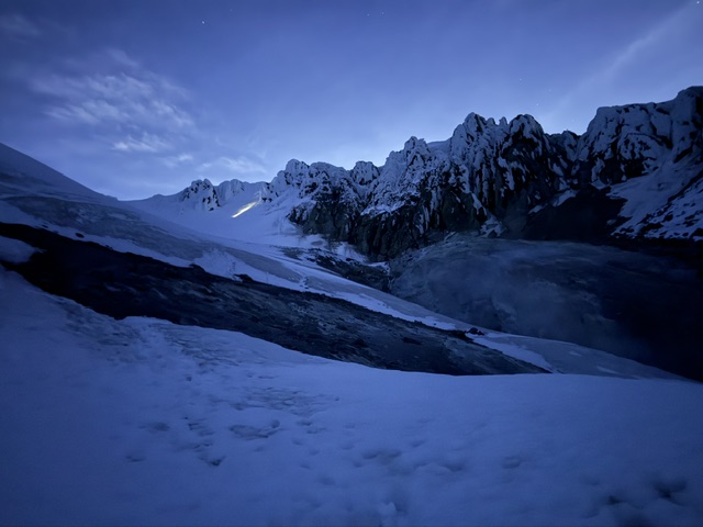
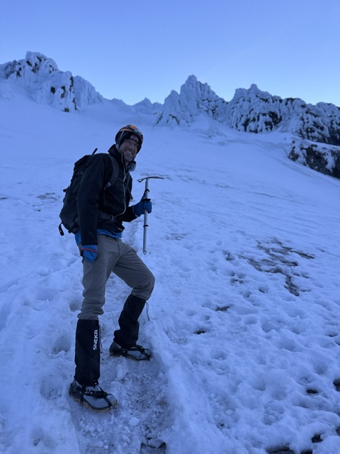
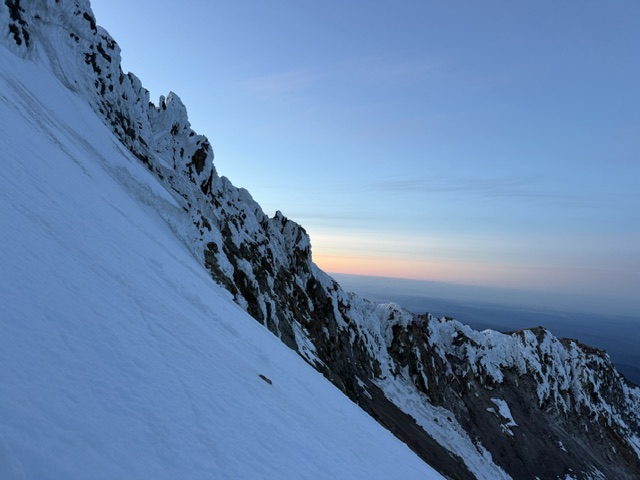
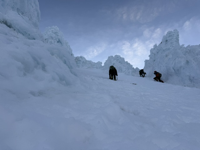
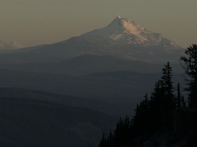
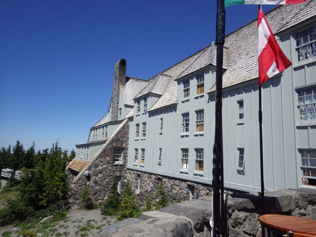
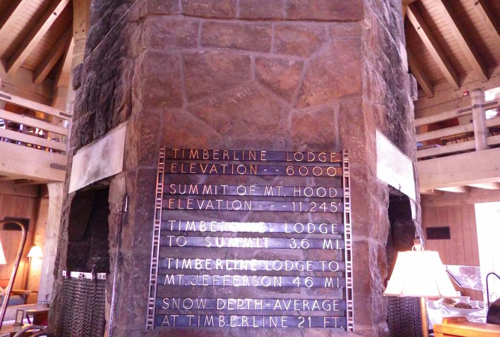
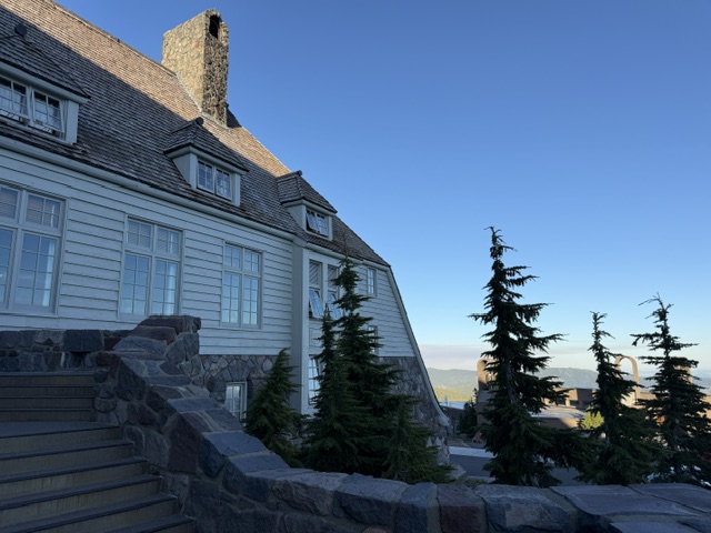
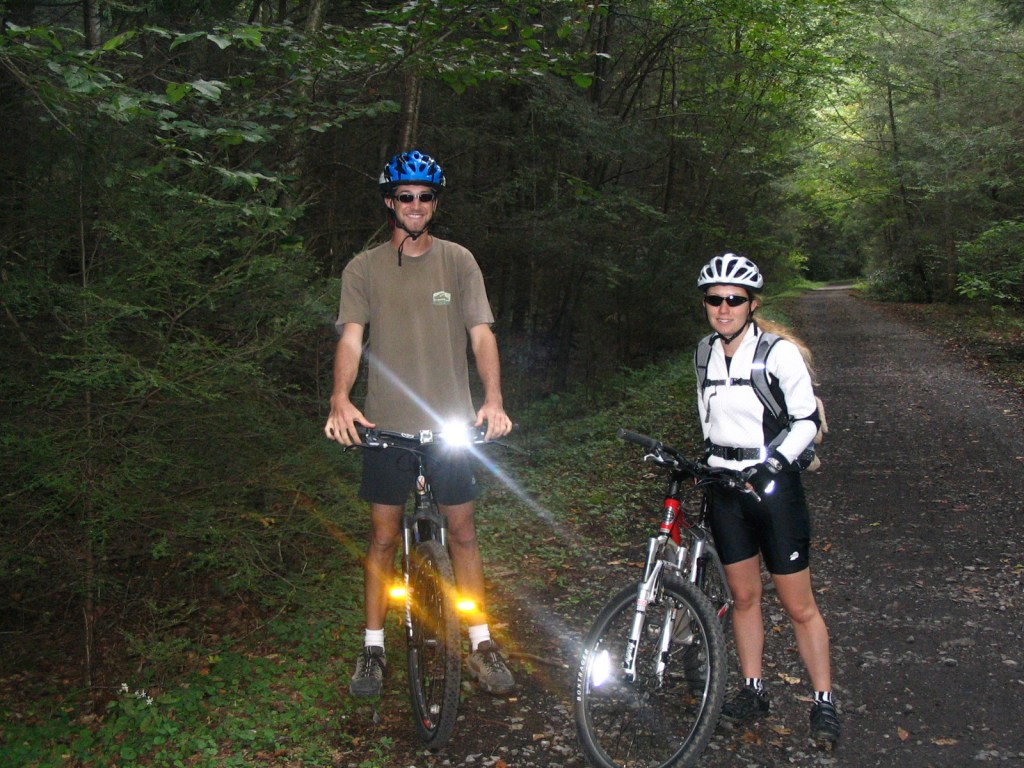
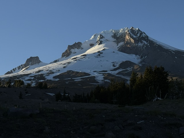
The highest of the five ski resorts on Mt. Hood is located at the end of a steep, six-mile-long paved drive off Highway 26.  It is home to Timberline Lodge, a National Historic Landmark you might recognize from the opening scenes of the 1980 film The Shining.  The ornate woodwork from the 1930s harkens back to a bygone era of craftsmanship, which is on display throughout the main lobby and the Rachael Griffin Historic Exhibition Center.  Downhill skiing is sometimes open throughout the summer, but even without skis you can take the sky ride to 7,000 feet in elevation for great views south of Mt. Jefferson and the Three Sisters in Deschutes National Forest.  Spring is the season for summitting Mt. Hood, and climbers must carry a free uphill travel pass and a WAG bag (human waste pack out bag).  Another popular spot, Olallie Scenic Area, is a high-elevation lake basin north of Mt. Jefferson. Mountain bikers are drawn to Mt. Hood National Recreation Area (see our blog post).

Best Trail

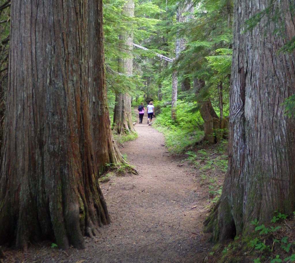
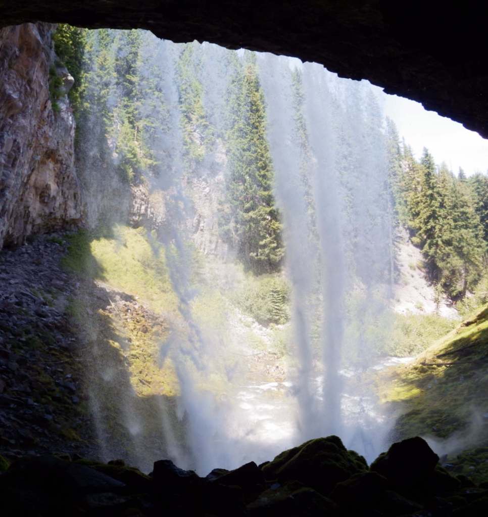
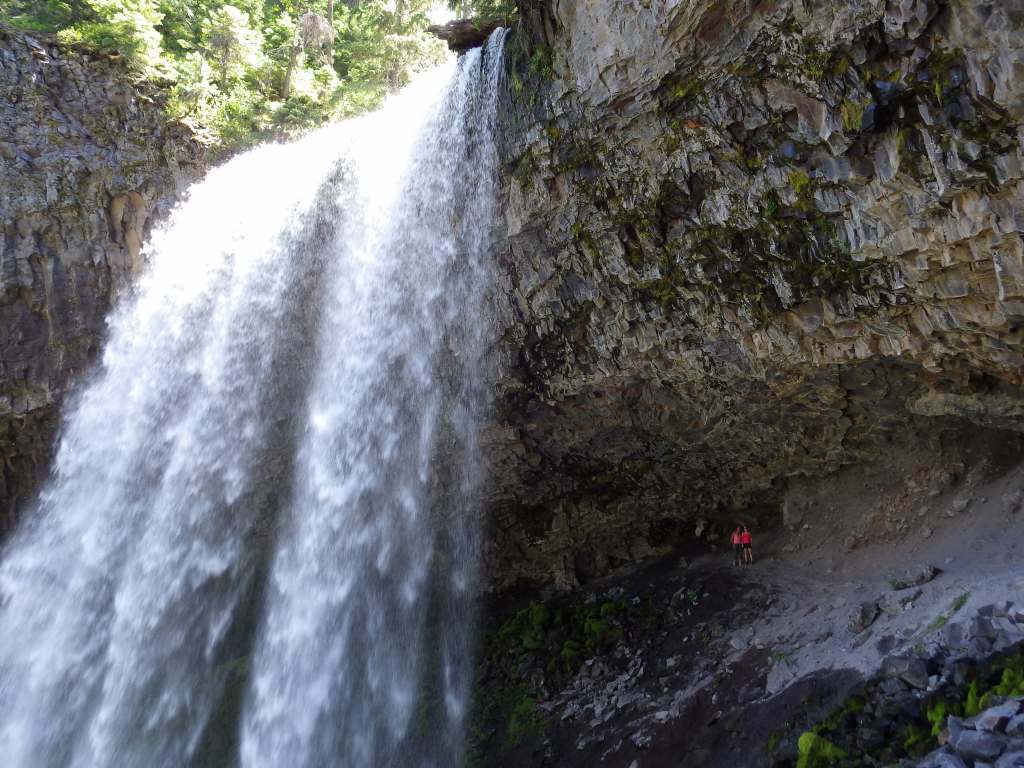
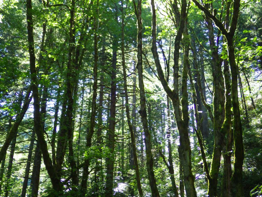
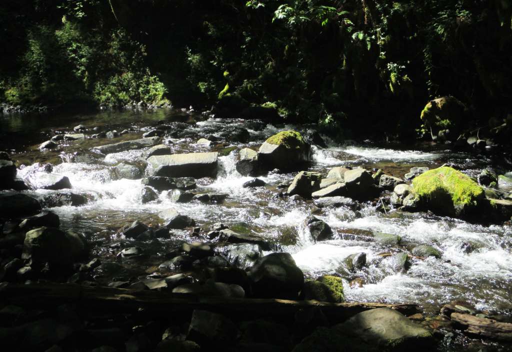
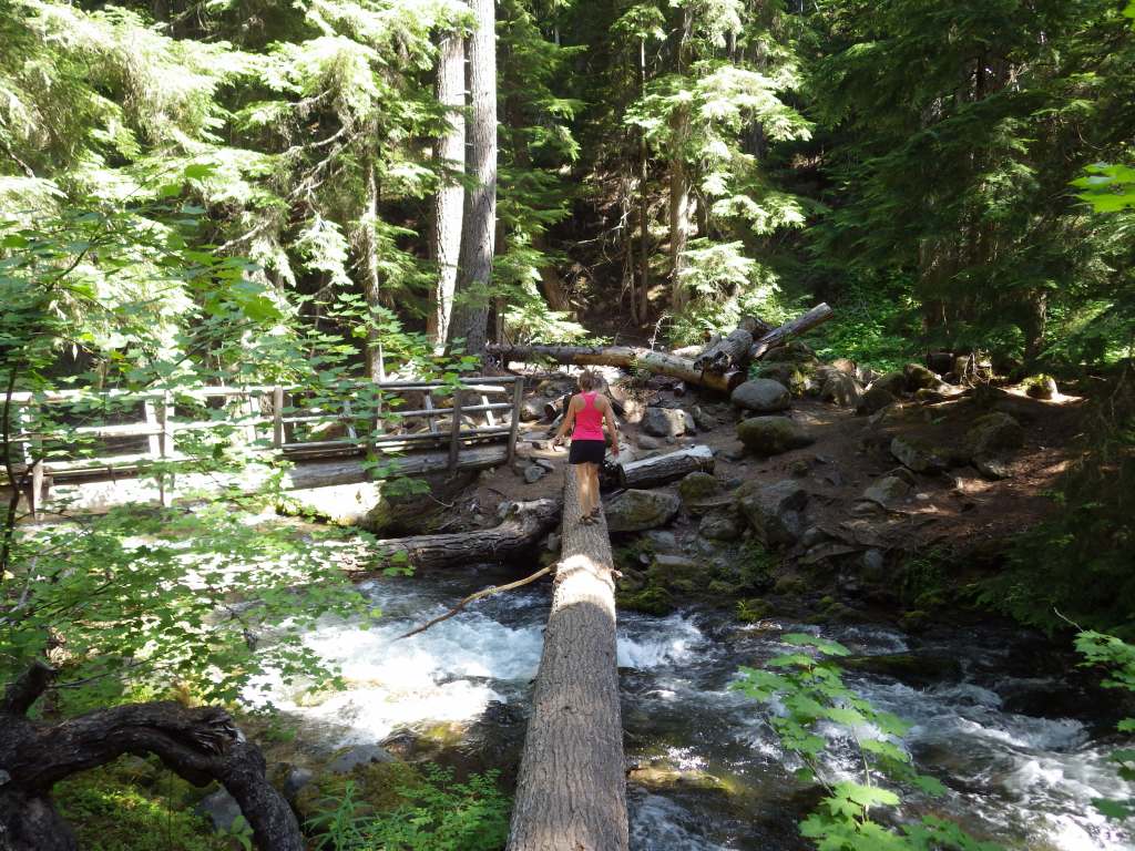
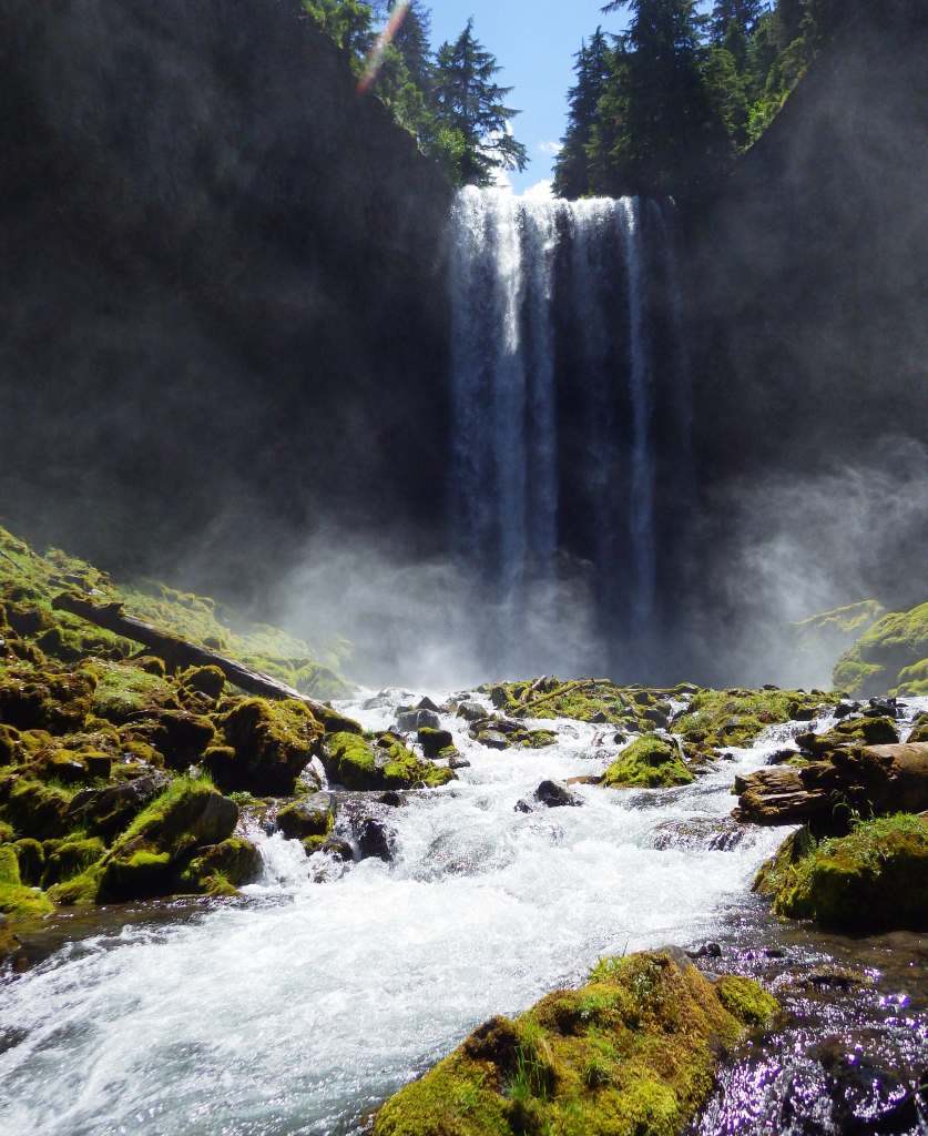
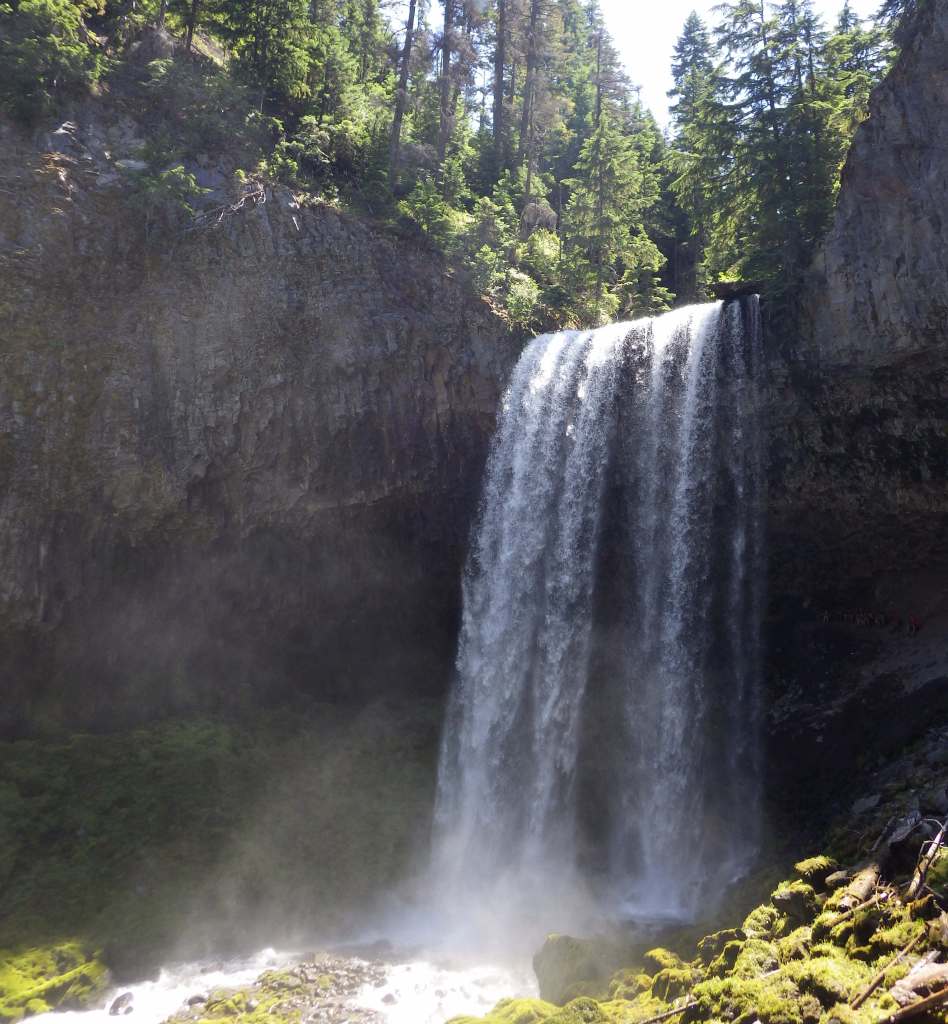
The hike behind Tamanawas Falls leaves from a trailhead near Sherwood Campground, where a rolling two-mile hike rises a cumulative 360 feet through a shady Douglas-fir forest as it follows the course of Cold Spring Creek.  At the base of the 100-foot-tall waterfall, a careful climb up slippery wet rocks takes hikers behind the curtain of water.  There are 1,200 miles of trails in the National Forest, including the 40.7-mile Timberline Trail built around Mt. Hood by the Civilian Conservation Corps (CCC) in the 1930s.  Part of the Pacific Crest National Scenic Trail shares this route as it skirts the volcano’s western slope.

Watchable Wildlife

Mt. Hood National Forest has both Roosevelt and Rocky Mountain elk, as well as mule deer, red foxes, coyotes, mountain lions, and black bears.  Less commonly seen are badgers, American pika, and Pacific marten.  Large birds include golden eagles, pileated woodpeckers, and Steller’s jays.  Situated at 4,900 feet in elevation, 240-acre Olallie Lake is stocked with both rainbow and brook trout.  The Sandy River and its tributaries have runs of chinook salmon, coho salmon, and steelhead.

Photographic Opportunity

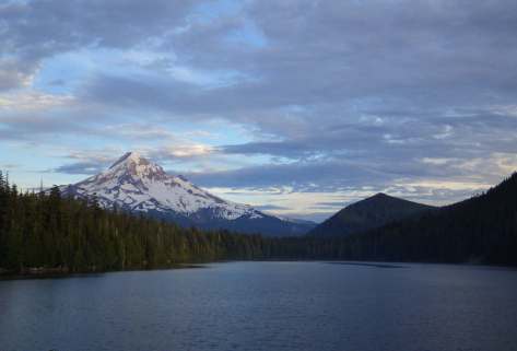
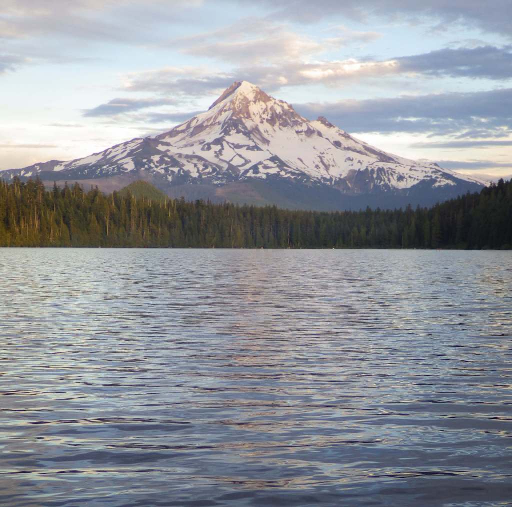
One particularly great spot to photograph Mt. Hood is from Lost Lake, which has canoe rentals and a nice three-mile hiking trail that encircles it.  We have also heard that Trillium Lake offers a great view.
Peak Season

Summer

Fees

$10 day use fee (no America the Beautiful passes accepted, but some take a Northwest Forest Pass) at the most popular areas like Trillium Lake; $15 at Lost Lake with no passes accepted; $5 per person at the Bagby Hot Springs with no passes accepted; $5 (or America the Beautiful pass) at Frog Lake Sno-Park/Trailhead; State of Oregon Sno-Park permit required November 1 through April 30 at some trailheads; see website for details: https://www.fs.usda.gov/r06/mthood/passes

Road Conditions

The road is paved to Timberline Lodge, but there are many unpaved roads in this area, some of which are in bad shape due to the high amounts of precipitation.

Camping

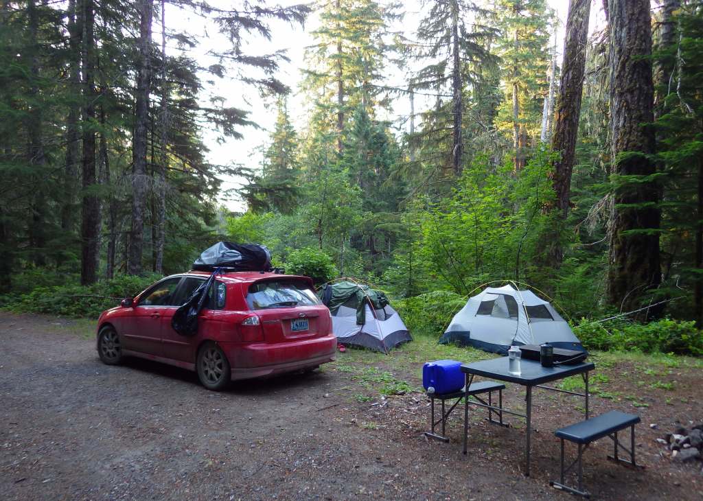
There are more than 70 campgrounds in Mt. Hood National Forest, including seven in Olallie Scenic Area.  The popular Bagby Campground near the hot springs does not take reservations.  Dispersed camping is a great way to enjoy the area.

Wilderness Areas

Badger Creek Wilderness

Bull of the Woods Wilderness

Clackamas Wilderness

Lower White River Wilderness

Mark O. Hatfield Wilderness

Mt. Hood Wilderness

Roaring River Wilderness

Salmon–Huckleberry Wilderness

Related Sites

Mt. St. Helens National Volcanic Monument (Washington)

Gifford Pinchot National Forest (Washington)

Newberry National Volcanic Monument (Oregon)

Mt. Baker National Forest (Washington)

Nearest National Park
Mount Rainier

Conifer Tree Species

Douglas-fir, western hemlock, western redcedar, noble fir, grand fir, subalpine fir, western yew, ponderosa pine, western larch

Flowering Tree Species

Oregon white oak, bigleaf maple, vine maple, rose-bay, salal, Pacific rhododendron

Explore More – Mt. Hood has been given a 3-7% chance of erupting in the next 30 years; when was the volcano’s last major eruption?

Learn more about this and the 154 other National Forests in our new guidebook Out in the Woods

Columbia River Gorge National Scenic Area

Columbia River Gorge National Scenic Area

Oregon-Washington

Managed by U.S. Forest Service, Pacific Northwest Region

Established 1986

292,500 acres

Website: https://www.fs.usda.gov/r06/columbiarivergorge

Overview

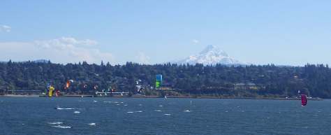
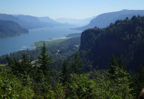
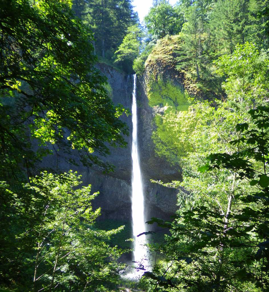
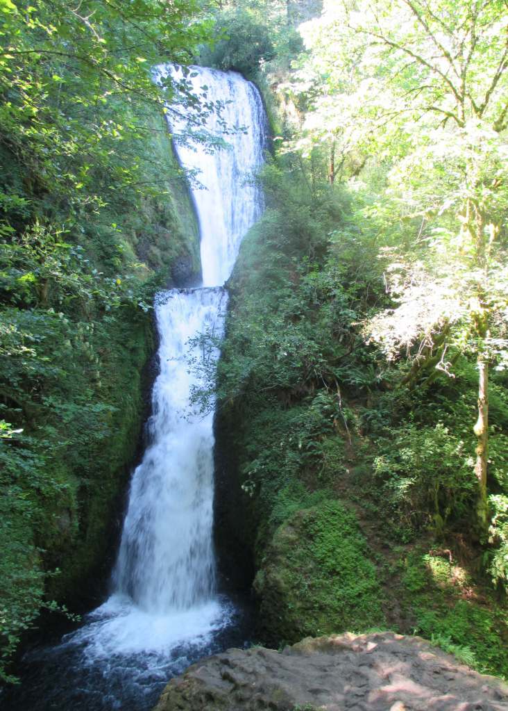
Columbia River Gorge National Scenic Area was created from riverside land that is part of Mt. Hood and Gifford Pinchot National Forests.  This river corridor was traditionally used by the Chinook, Warm Springs, and Yakama peoples that were drawn to the annual salmon runs.  The gorge stretches 80 miles to the Deschutes River, lined by steep basalt cliffs and many State Parks.  The Oregon side is famous for its waterfalls fed by snowy Mt. Hood, the 11,249-foot-tall stratovolcano that rises to the south.  The town of Hood River is considered the “Windsurfing Capital of the World” with many options for gear rentals and lessons.

Highlights

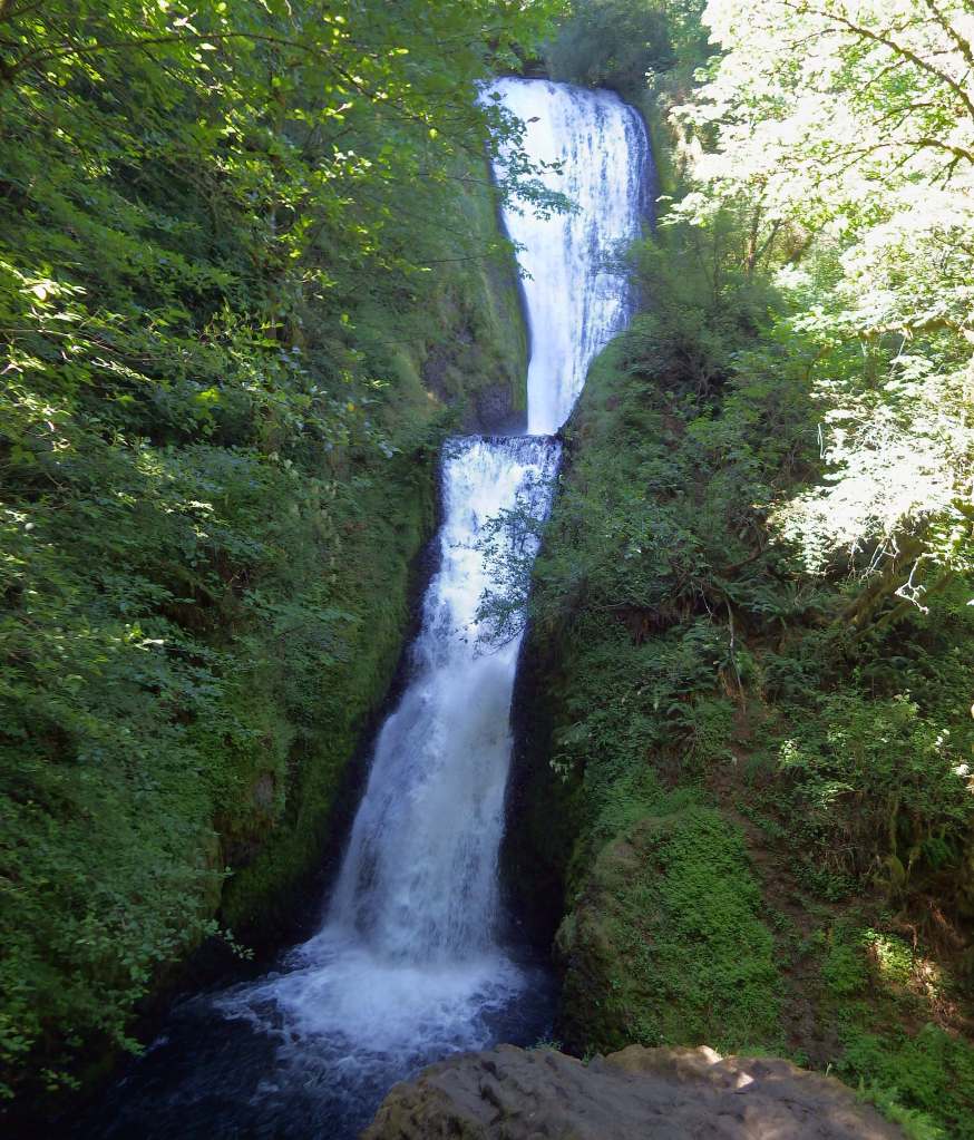
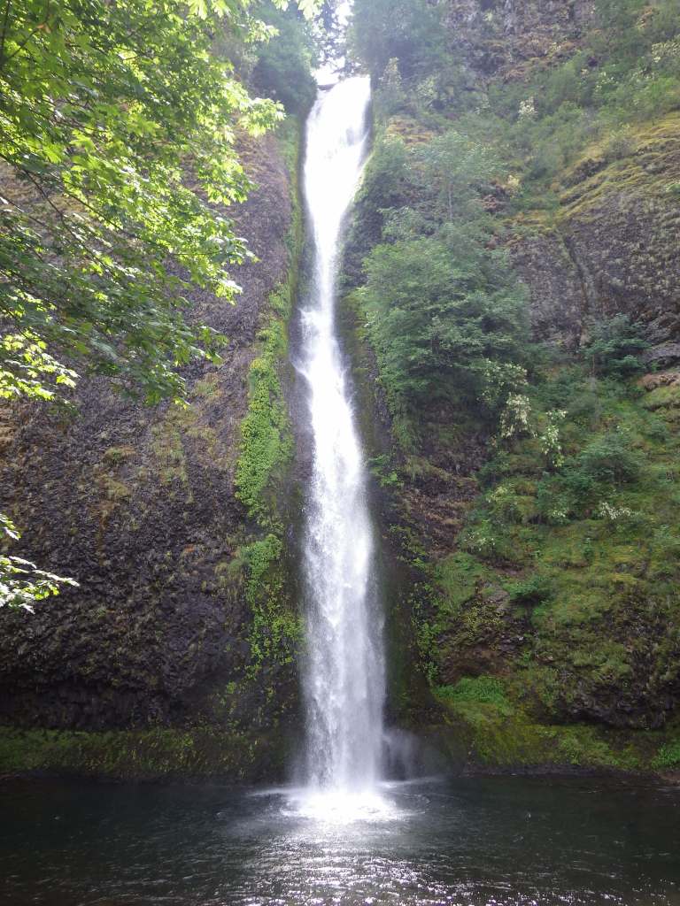
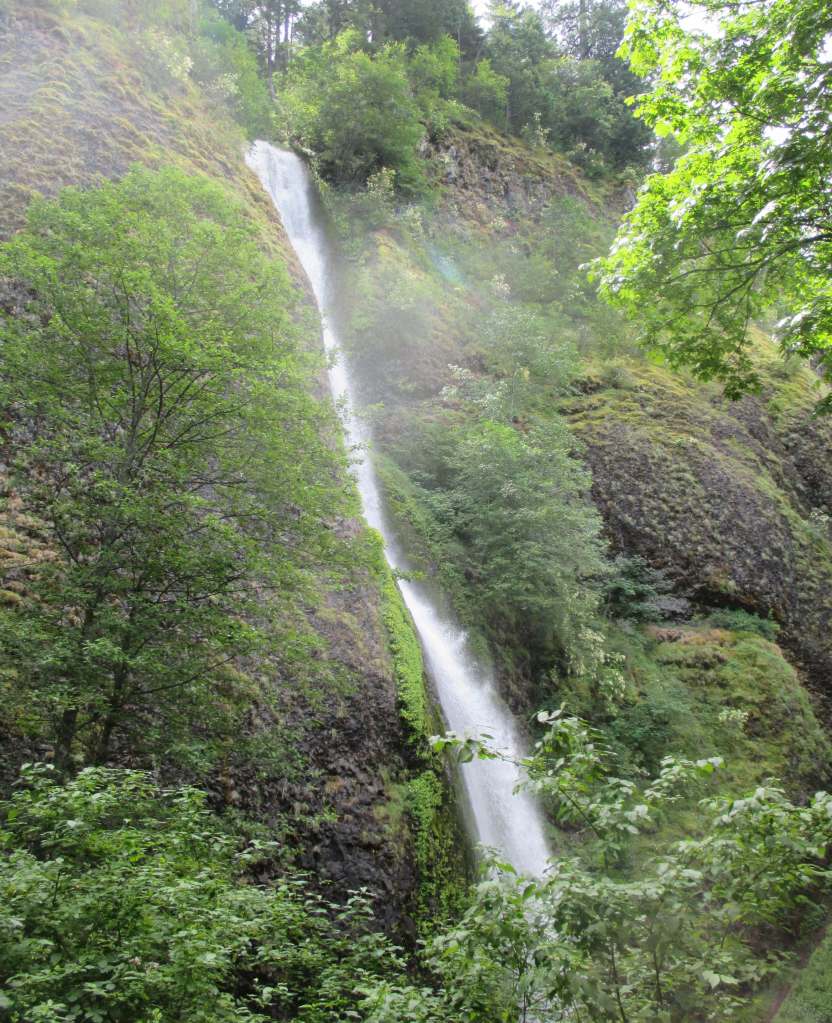
Historic Columbia River Highway, Multnomah Falls, Vista House, Dog Mountain, Bonneville Fish Hatchery, Horsetail Falls, Wahclella Falls Trail, Lewis and Clark National Historic Trail

Must-Do Activity

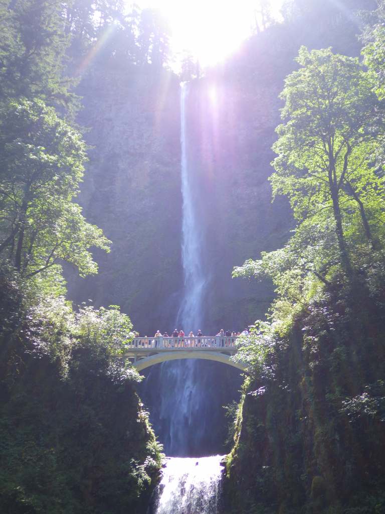
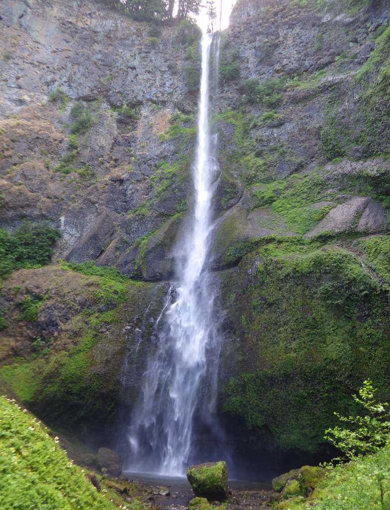
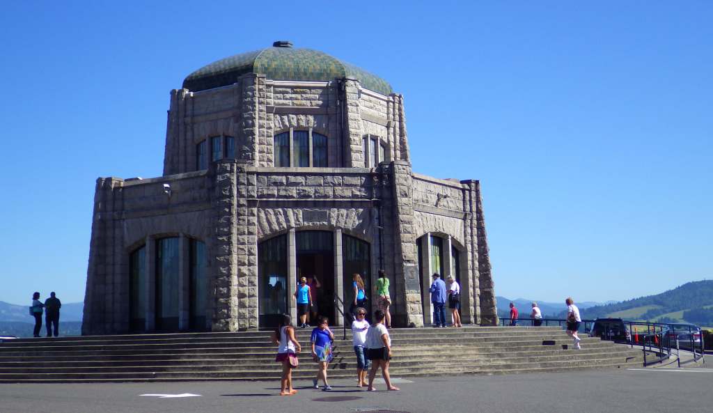
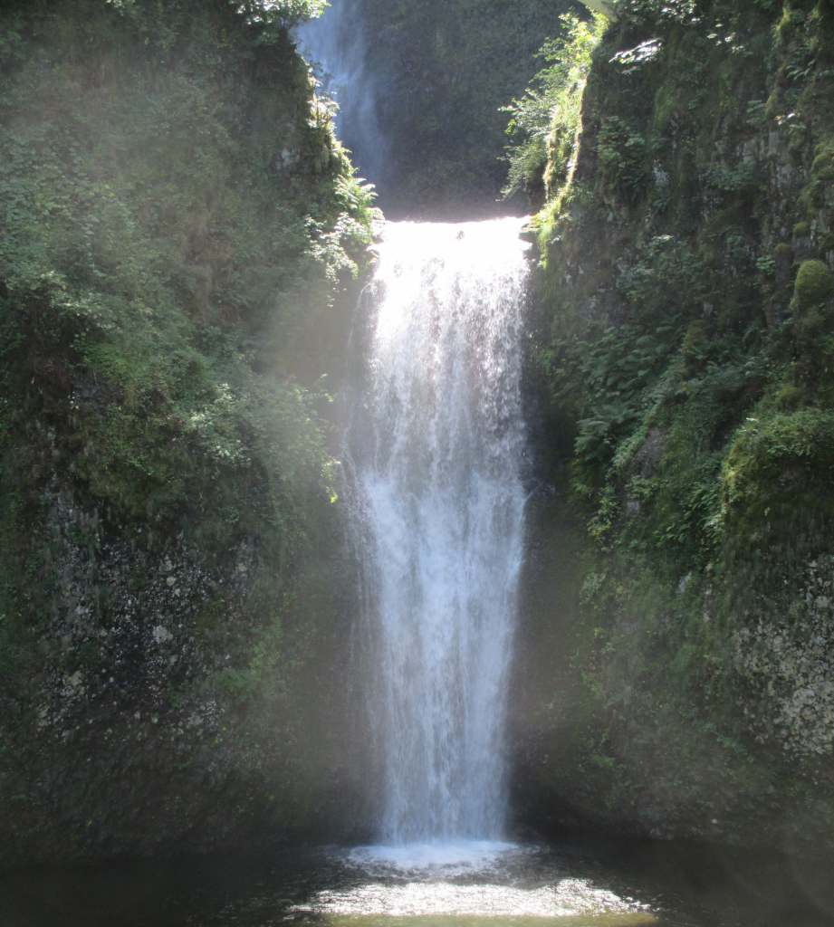
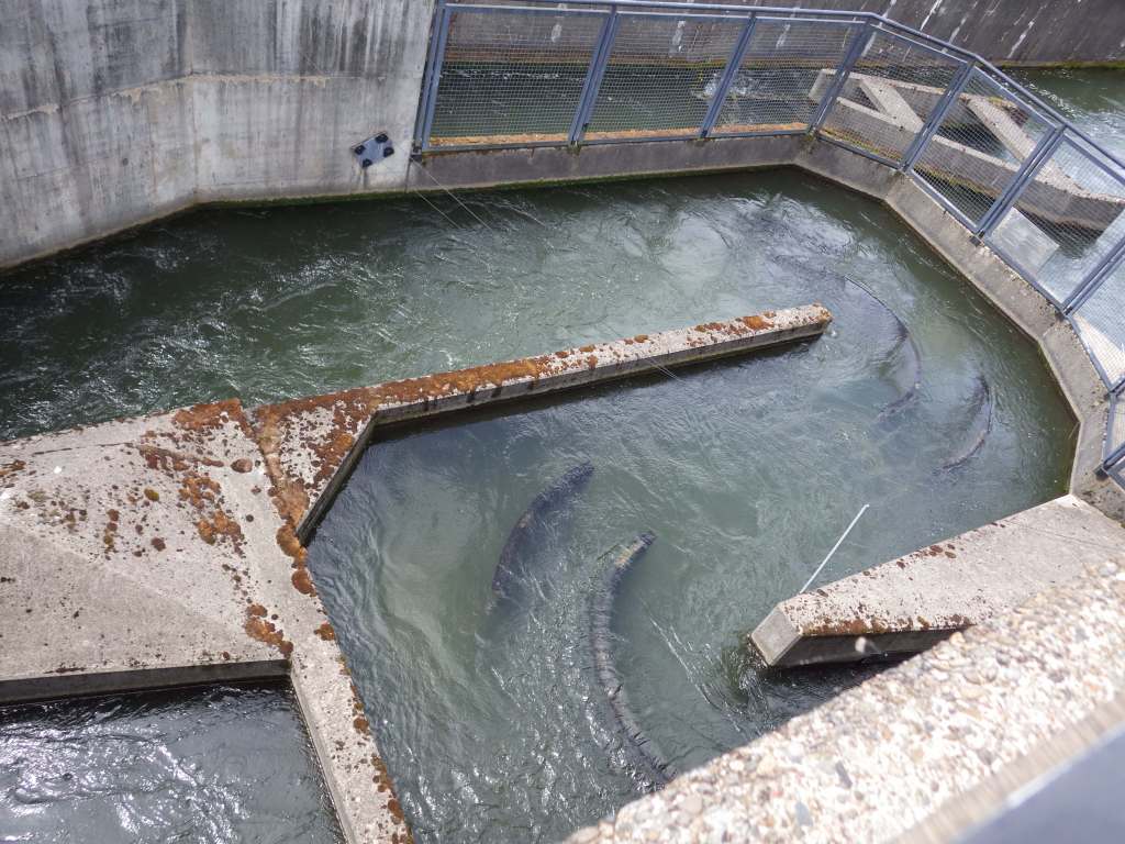
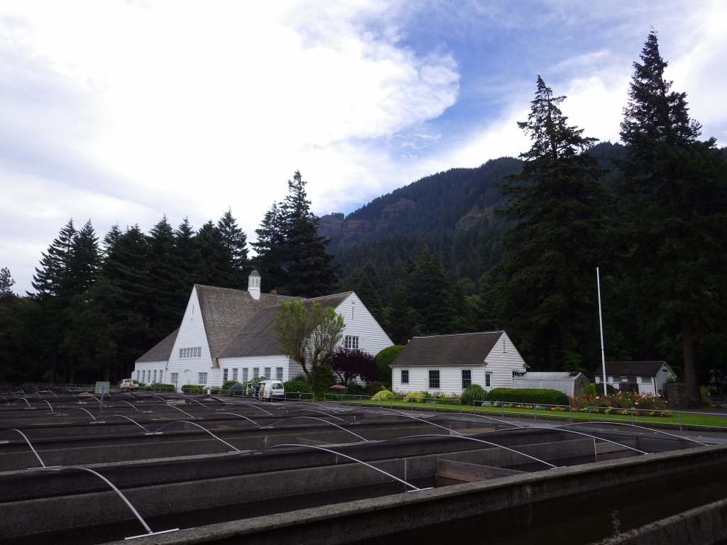
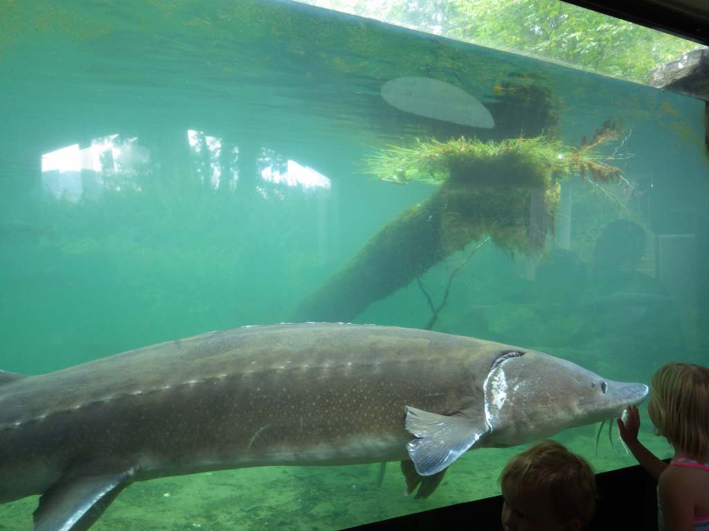
Two-tiered Multnomah Falls drops 620 feet and is the most famous waterfall on the Historic Columbia River Highway, enough so that a timed permit is now required to park May through early September.  As of 2025, a parking permit is also required at Vista House, built in 1918 on a rocky point 693 feet above the Columbia River (see Fees below).  To get a break from the traffic, consider parking and hiking.  Wahclella Falls Trail is 2.4 miles out-and-back through a slot canyon to a 350-foot-tall two-tiered plunge (which hopefully reopens soon after it suffered extensive damages during December 2025 storms).  Eagle Creek Trail goes 1.9 miles one-way to Punch Bowl Falls (honestly, there are so many good hiking options to choose from, so check out this website: https://gorgefriends.org/find-a-hike).  Bonneville Fish Hatchery is free and home to Herman the Sturgeon who is 10 feet long, 500 pounds, and more than 80 years old.

Best Trail

Oneonta Trail is 3.2 miles roundtrip with an elevation gain of 425 feet to Ponytail Falls that you can walk behind.  An additional 1.8 miles and 300 feet of climbing will take hikers to Triple Falls.  At the same trailhead located near Horsetail Falls, the once popular route through Oneonta Gorge slot canyon has been closed due to a dangerous logjam following the 2017 Eagle Creek Fire.  Dog Mountain is famous for its spring wildflower bloom, so a $2 parking reservation (or a free shuttle) is required on weekends from April through early June. 

Photographic Opportunity

Women’s Forum State Scenic Viewpoint (or Chanticleer Point) is still free, which provides a photographic point looking east that includes Vista House. 

Peak Season

Spring

Fees

$5 Northwest Forest Pass (or America the Beautiful pass) required at many U.S. Forest Service trailheads.  Crown Point State Scenic Corridor at Vista House requires an annual state park pass or a parking fee of $10 per vehicle for Oregon residents and $12 for non-residents. 

Road Conditions

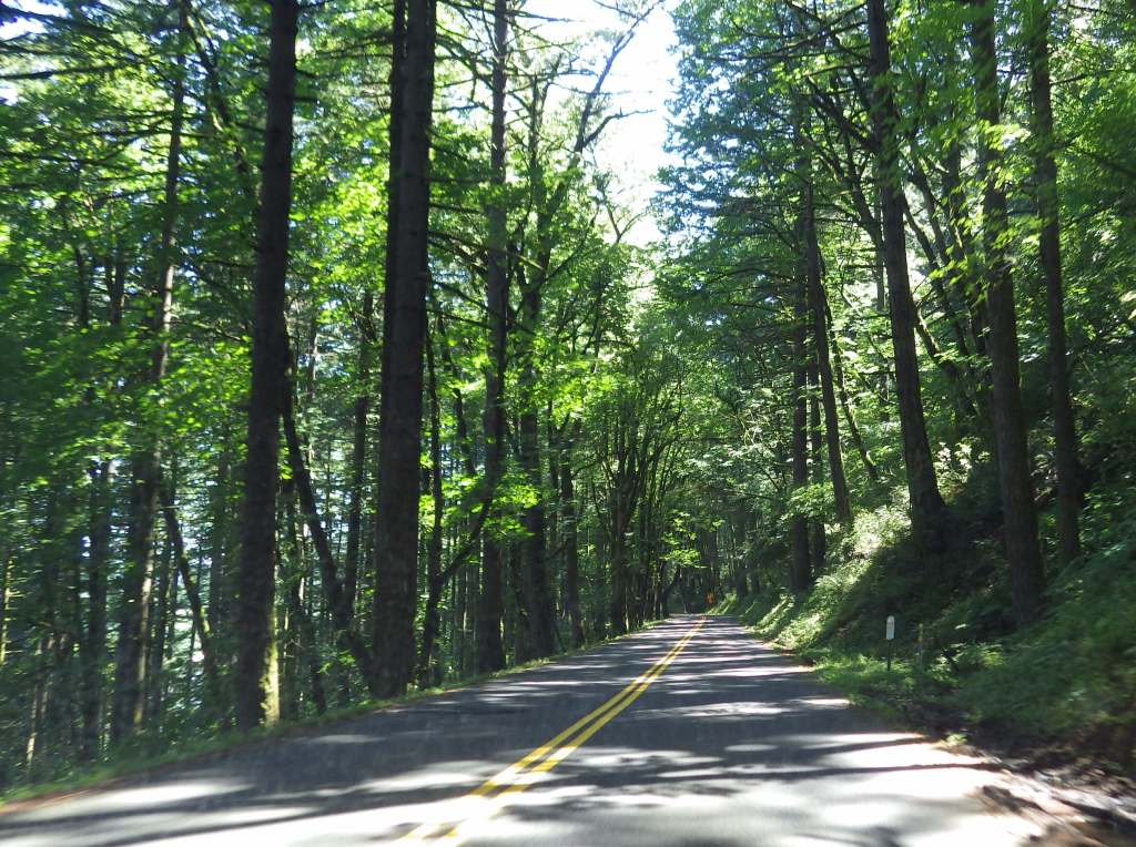
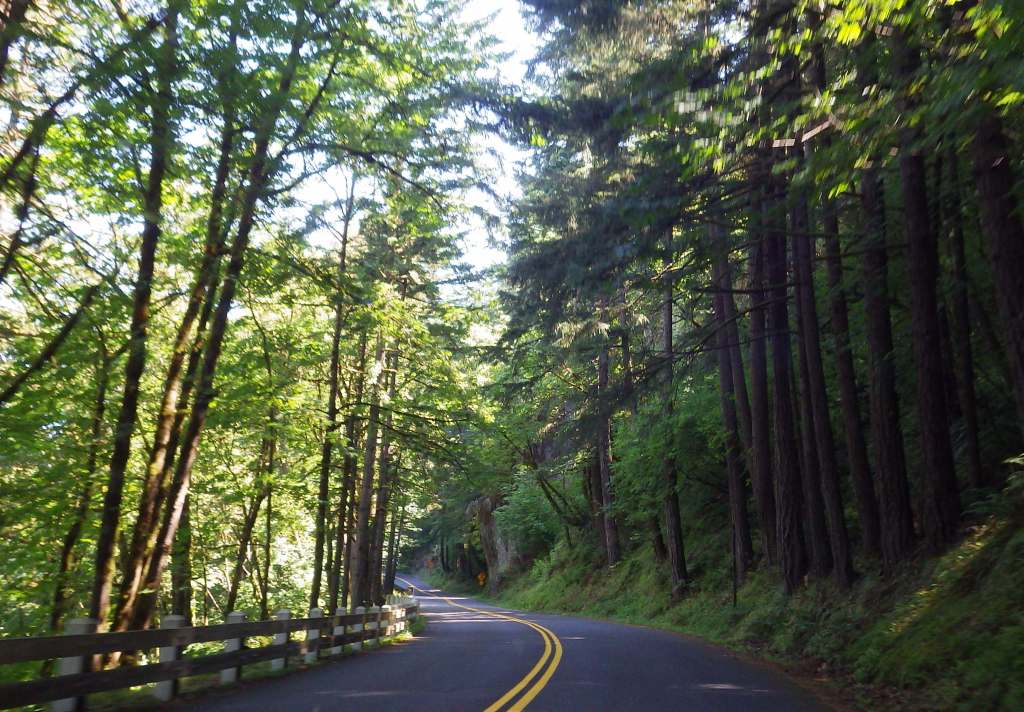
Interstate 84 runs along the Oregon side of the gorge with limited exits and State Route 14 follows the river on the Washington side.  Before departing, check for road closures on the Historic Columbia River Highway.

Camping

Wyeth Campground is the only one directly within the National Scenic Area, but there are several campgrounds north and south of the Columbia River in Gifford Pinchot and Mt. Hood National Forests.

Related Sites

Lewis and Clark National Historical Park (Oregon-Washington)

Fort Vancouver National Historic Site (Washington)

Mt. Hood National Recreation Area (Oregon)

Deschutes National Forest (Oregon)

Nearest National Park
Mount Rainier

Explore More – When did the Chanticleer Inn burn down, opening Chanticleer Point to be purchased by the Portland Women’s Forum and donated to the state of Oregon in 1962?

Know someone who loves the National Forests? Gift them our travel guidebook Out in the Woods so they can learn more about all 155 National Forests.

Jefferson National Forest

Jefferson National Forest

Virginia, West Virginia, Kentucky

Managed by U.S. Forest Service, Southern Region

1,670,846 acres (723,531 federal/ 947,315 other)

Website: https://www.fs.usda.gov/gwj

Overview

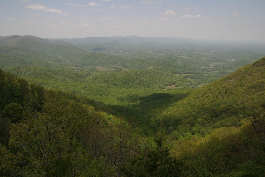
In western Virginia, Jefferson National Forest contains Mt. Rogers, the state’s highest point at 5,729 feet (see our post on Mt. Rogers National Recreation Area).  There are 17 designated Wildernesses in Jefferson National Forest, second only to the 19 in Alaska’s massive Tongass National Forest.  In 1995, George Washington and Jefferson National Forests were administratively combined.  Is it just us, or does that name seem to celebrate George Jefferson from the 1970s sitcom?  It is supposed to commemorate native-Virginian Thomas Jefferson who was the original author of the 1776 Declaration of Independence and the third President of the U.S.  The Omnibus Public Land Management Act of 2009 created both the Bear Creek (5,503 acres) and Seng Mountain (6,455 acres) National Scenic Areas as specially designated parts of Jefferson National Forest.

Highlights

Blue Ridge Parkway, Mt. Rogers National Recreation Area, Seng Mountain National Scenic Area, Bear Creek National Scenic Area, Settlers Museum of Southwest Virginia, James River Gorge, Mountain Lake, Apple Orchard Falls, Cave Mountain Lake, Glenwood Iron Furnace, High Knob, Little Stony Creek, Lake Keokee, Olinger Gap Trail, Virginia Creeper Trail, Virginia Highlands Trail, Appalachian National Scenic Trail

Must-Do Activity

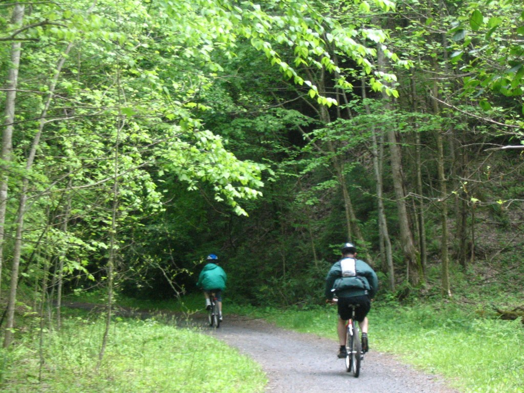
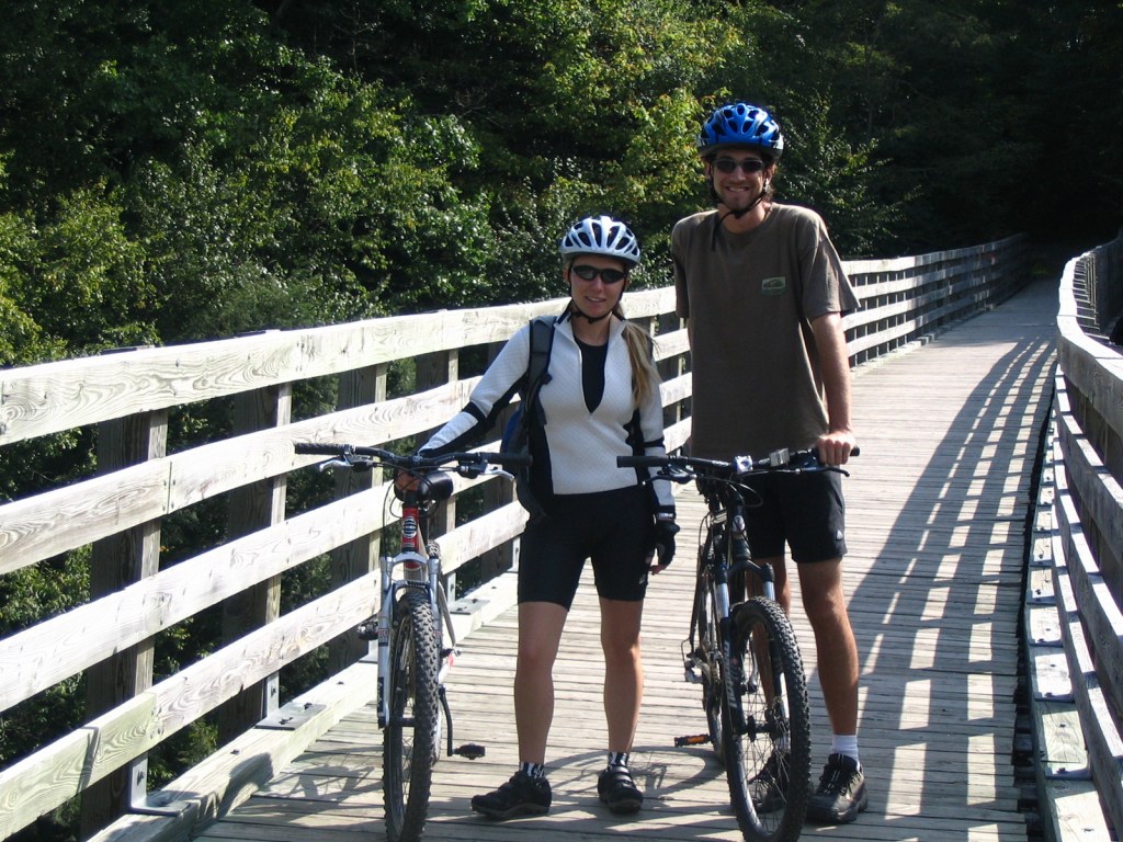
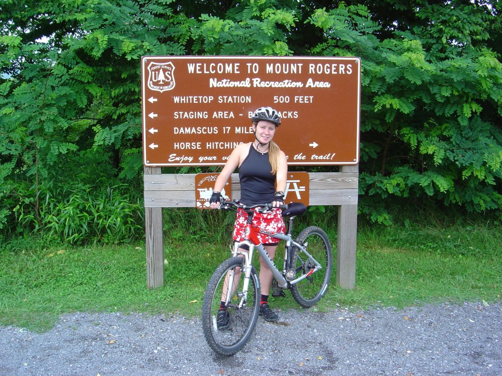
We have only visited the Mt. Rogers National Recreation Area (which made it on our Top 10 List) portion of Jefferson National Forest, which sits just north of the North Carolina border.  One popular day trip there is to bike the 33-mile-long Virginia Creeper Trail, which is also open to hikers and horse riders.  Last used in 1977, the former railroad grade runs 18 miles downhill from Whitetop Station Visitor Center to the town of Damascus, and local outfitters can provide shuttles to the trailheads and rental bikes.  The trail drops 1,600 feet in total (sometimes at a 7% grade); no wonder those steam locomotives were “creeping” up the hill.  Outside the National Forest, another 15 miles of railroad bed runs to Abingdon and includes the lowest point on the trail at the scenic South Holston Trestle.

Best Trail

Apple Orchard Falls has a drop of 200 feet and can be accessed from Sunset Fields Overlook at Milepost 78 on the Blue Ridge Parkway.  Considered the most popular hike in Jefferson National Forest, the steep trail is only 1.3 miles long one-way, but gains more than 1,000 feet in elevation.  A six-mile loop can be completed by connecting to the Cornelius Creek Trail with a total elevation gain of 1,438 feet.  Olinger Gap Trail is another short, scenic route that connects the 3.7-mile Lake Keokee Loop Trail and the 14-mile Stone Mountain Trail.

Watchable Wildlife

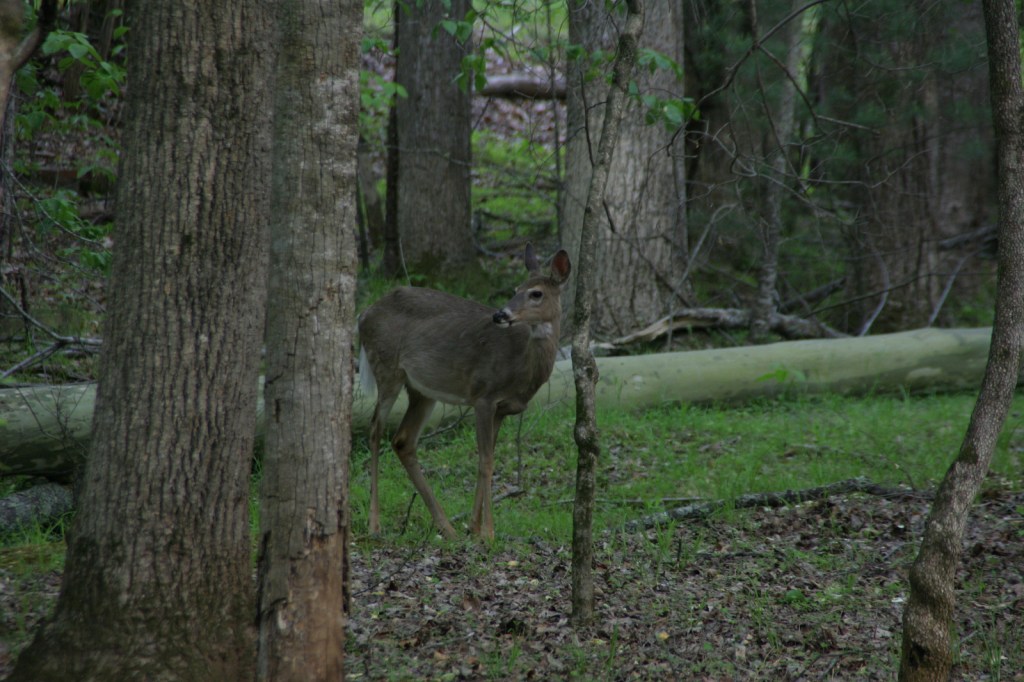
Jefferson National Forest has elevations ranging from 649 feet at the James River up to 5,729 feet, offering a variety of habitats.  Its most famous residents may be the wild miniature ponies that hang out in the heath balds around Mt. Rogers.  Like George Washington National Forest, there are several types of rare salamanders found here, including the golden pygmy salamander.  Noteworthy mammals are white-tailed deer, black bears, bobcats, raccoons, river otters, martens, and weasels.  Large birds found in Jefferson National Forest include wild turkeys, turkey vultures, bald eagles, peregrine falcons, and several types of hawks.

Instagram-worthy Photo

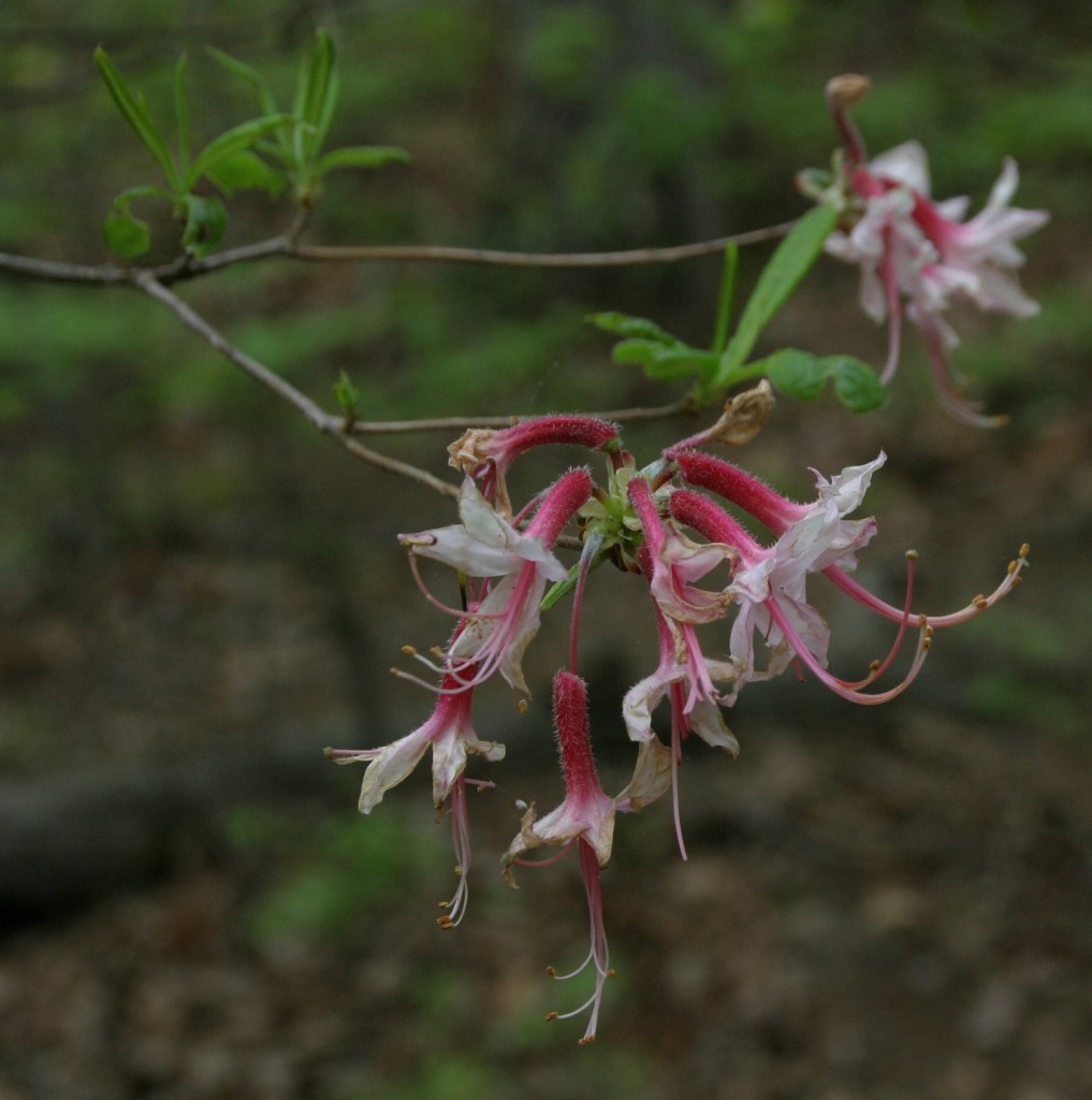
Spring and early summer are a great time to visit to see blooming azalea, mountain laurel, and rhododendron bushes.

Peak Season

Spring and fall

Fees

$5 day-use fee at Beartree Recreation Area

Road Conditions

The Peaks of Otter Visitor Center on the paved Blue Ridge Parkway is managed by the National Park Service adjacent to Jefferson National Forest.  There are unpaved roads scattered throughout the mountains, including a rough road off Forest Road 606 that comes close to the 15-foot-tall Falls of Dismal (also accessible by hiking trail).

Camping

Beartree, Hurricane, Cane Patch, Laurel Falls, Cave Springs, Bark Camp Lake, Cave Mountain Lake, Pines, and White Rocks are only a selection of the many designated campgrounds in Jefferson National Forest.  There is a 25-foot right-of-way for backpack camping on both sides of the Virginia Creeper Trail, except on private property.

Wilderness Areas

Barbours Creek Wilderness (also in George Washington National Forest)

Beartown Wilderness

Brush Mountain East Wilderness

Brush Mountain Wilderness

Garden Mountain Wilderness

Hunting Camp Creek Wilderness

James River Face Wilderness

Kimberling Creek Wilderness

Lewis Fork Wilderness

Little Dry Run Wilderness

Little Wilson Creek Wilderness

Mountain Lake Wilderness

Peters Mountain Wilderness

Raccoon Branch Wilderness

Shawvers Run Wilderness (also in George Washington National Forest)

Stone Mountain Wilderness

Thunder Ridge Wilderness

Related Sites

Mt. Rogers National Recreation Area (Virginia)

Booker T. Washington National Monument (Virginia)

Cumberland Gap National Historical Park (Kentucky-Tennessee-Virginia)

Nearest National Park
New River Gorge

Conifer Tree Species

eastern hemlock, eastern white pine, Virginia pine, shortleaf pine, pitch pine, Table Mountain pine, red spruce, Fraser fir

Flowering Tree Species

American beech, yellow birch, mountain maple, sugar maple, white oak, black oak, northern red oak, rock chestnut oak, bear oak, hickory, basswood, sweet buckeye, American elm, sourwood, mountain laurel, azalea, rhododendron

Explore More – What is the scientific name for Virginia creeper, the native vine with palmately compound leaves?

Learn more about this and the 154 other National Forests in our new guidebook Out in the Woods

We are a participant in the Amazon Services LLC Associates Program, an affiliate advertising program designed to provide a means for us to earn fees by linking to Amazon.com and affiliated sites.

Mt. Rogers National Recreation Area

Mt. Rogers National Recreation Area

Virginia

Managed by U.S. Forest Service, Southern Region

154,816 acres

Website: https://www.fs.usda.gov/recarea/gwj/recarea/?recid=77722

Overview

In southwestern Virginia, Jefferson National Forest manages Mt. Rogers National Recreation Area, which was established in 1966.  Although it is only 154,816 acres in extent, Mt. Rogers National Recreation Area encompasses the highest point in Virginia at 5,729 feet, four federally designated Wilderness areas (totaling 18,500 acres), and nearly 500 miles of trails.  At Raven Cliff Recreation Area, a short trail crosses an interesting bridge over Cripple Creek to access an old iron furnace that operated until the early 1900s.  Nearby at Collins Cove is a rare example of an old-growth cove hardwood forest.

It even made it on our Top 10 National Recreation Areas list.

Highlights

Seng Mountain National Scenic Area, Mt. Rogers, Whitetop Mountain, Elk Garden, Raven Cliff Recreation Area, New River Recreation Area, Beartree Recreation Area, Comer’s Rock, Falls Branch Waterfall, New River State Park, Grayson Highlands State Park, Two Ponds Nature Trail, Virginia Creeper Trail, Horse Heaven Trail, Iron Mountain Trail, Appalachian National Scenic Trail

Must-Do Activity

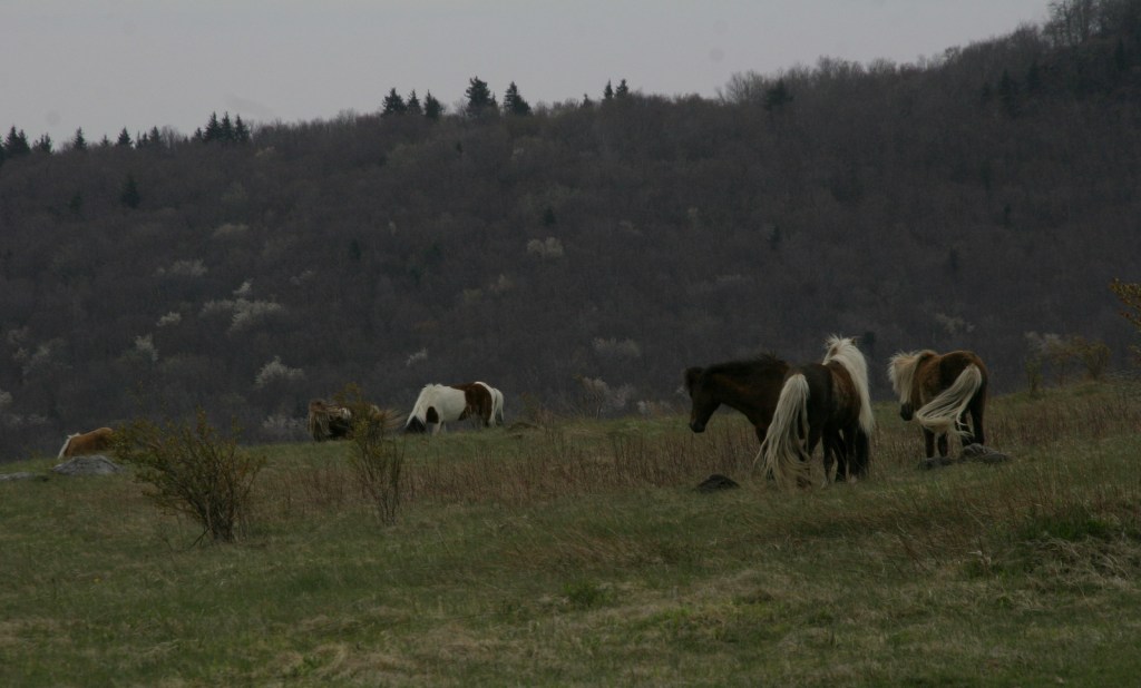
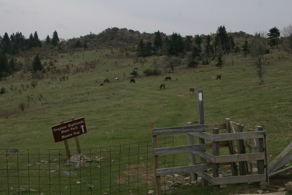
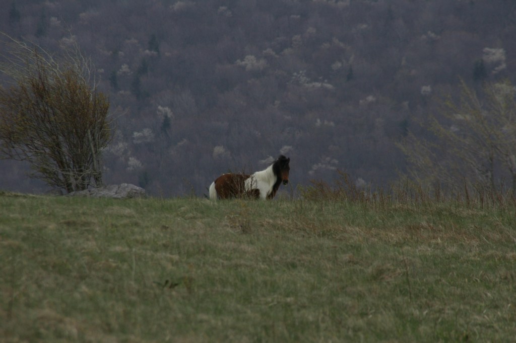
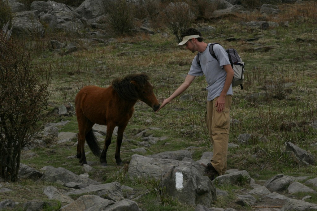
Pat Jennings Visitor Center is located six miles south of Interstate 81 in Brushy Mountain, and there are two visitor centers situated along the Virginia Creeper Rail Trail (see our post on Jefferson National Forest).  There are multiple routes to reach the summit of Mt. Rogers, but the two shortest are both 4.5 miles one-way from Elk Garden (on State Route 600) or Grayson Highlands State Park (that gains about 1,350 feet in elevation).  At Massie Gap, we encountered a herd of wild miniature ponies that had no fear of humans and liked to lick the salt from our skin, but watch your fingers because they will bite.

Best Trail

There are about 500 miles of hiking trails within Mt. Rogers National Recreation Area, including 78 miles of the famous Appalachian National Scenic Trail (or A.T.).  The A.T. runs through the Lewis Fork Wilderness, which also features the Virginia Highlands, Mt. Rogers, Grassy Branch, Helton Creek, Cliffside, Pine Mountain, and Sugar Maple Trails.  The A.T. also traverses the Little Wilson Creek Wilderness, as do the First Peak, Bearpen, Kabel, Hightree Rock, and Little Wilson Creek Trails.

Instagram-worthy Photo

A beat-up USGS marker can be found at the highest point in Virginia on 5,729-foot Mt. Rogers, located on a short spur trail off the A.T.

Peak Season

Summer

Fees

$5 day use fee at Beartree Recreation Area

Road Conditions

All the roads we drove in Mt. Rogers National Recreation Area were paved.

Camping

There are eight campgrounds, four horse camps, and two rental cabins in Mt. Rogers National Recreation Area.  Grindstone Campground has nature trails and an amphitheater, Hurricane Campground offers a one-mile loop trail, and Raccoon Branch Campground is popular with trout fishermen.  We stayed at Chestnut Hollow Campground in Grayson Highlands State Park and had the place to ourselves in early May.  There is a 25-foot right-of-way for backpack camping on both sides of the Virginia Creeper Trail (see our post on Jefferson National Forest), except on private property.

Related Sites

Jefferson National Forest (Virginia-Kentucky-West Virginia)

Blue Ridge Parkway (North Carolina-Virginia)

Cherokee National Forest (Tennessee-North Carolina)

Nearest National Park
Shenandoah

Explore More – Common to the high elevations of Mt. Rogers National Recreation Area, what exactly is a heath bald?

Mono Basin National Scenic Area

Mono Basin National Scenic Area

California

Managed by U.S. Forest Service, Pacific Southwest Region

128,303 acres

Website: https://www.fs.usda.gov/detail/inyo/specialplaces/?cid=stelprdb5129903

Overview

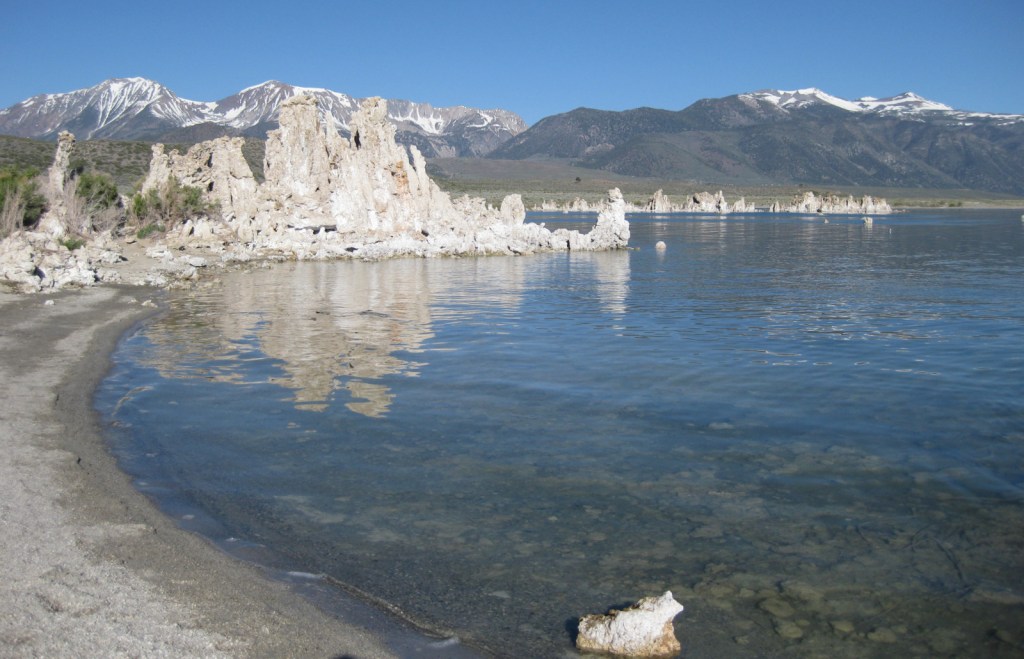
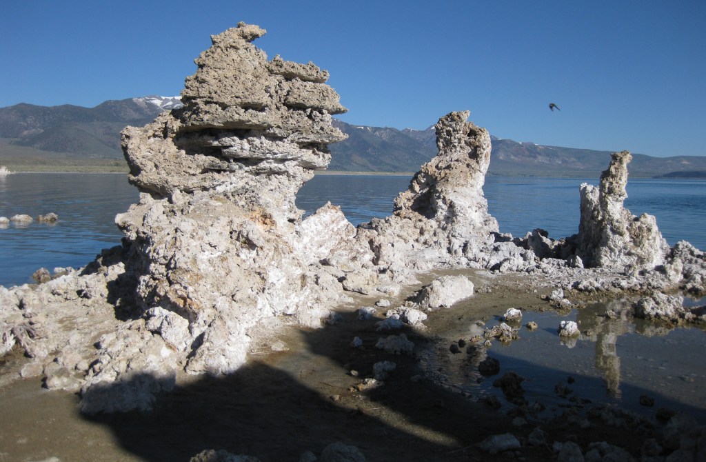
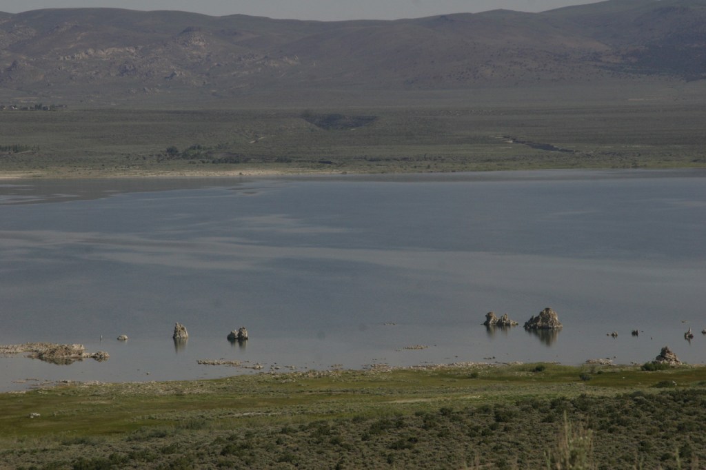
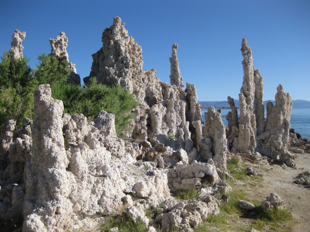
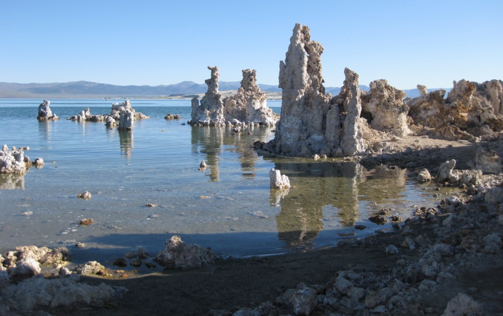
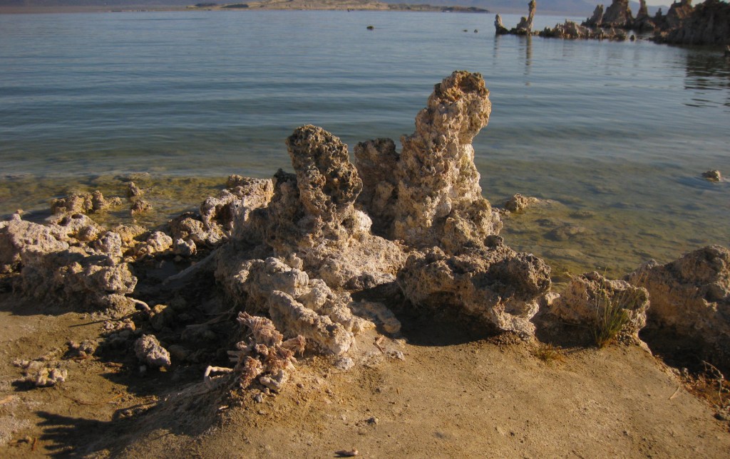
Established in 1984, this portion of Inyo National Forest is a geological wonderland that was once part of the former Mono National Forest.  Along the edge of this ancient salt lake are ten-foot-tall tufa towers exposed after water levels dropped beginning in 1941 when river water was diverted to Los Angeles.  Tufa is limestone that precipitated when the alkaline lake water combined with calcium from underground springs.  Paoha Island in the center of Mono Lake is also a nesting area for snowy plovers and California gulls, giving its salty waters even more of a Pacific Ocean impression.  This entire region is volcanically active as evidenced by isolated hot springs, cinder cones that erupted as recently as 350 years ago, and the forest devastation caused by a 1989 release of carbon dioxide from Horseshoe Lake.  It is also rich in minerals, showcased by the mines at Bodie State Historic Park, a ghost town conserved in “arrested decay.” 

Highlights

Mono Basin National Forest Scenic Area Visitor Center, film, Mono Lake Tufa State Natural Reserve, Panum Crater, Mono Craters, Bodie State Historic Park, South Tufa Trail

Must-Do Activity

Open May through October, the Mono Basin National Forest Scenic Area Visitor Center is located on Highway 395, just east of Tioga Pass (the eastern entrance to Yosemite National Park).  It features interactive displays on geology and human history, the 20-minute film Of Ice and Fire: A Portrait of the Mono Basin, photo exhibits, and a bookstore.  Situated atop a hill on the lake’s western shore, it offers an overlook of Mono Lake, Paoha Island, and the Mono Craters.

Best Trail

On the lake’s south side is the fascinating Mono Lake Tufa State Natural Reserve, established in 1981.  A short trail leads from the unpaved parking area to the shoreline.  Just to the west, the 0.7-mile Plug Trail enters the cone of Panum Crater, a 650-year-old plugged dome volcano.

Instagram-worthy Photo

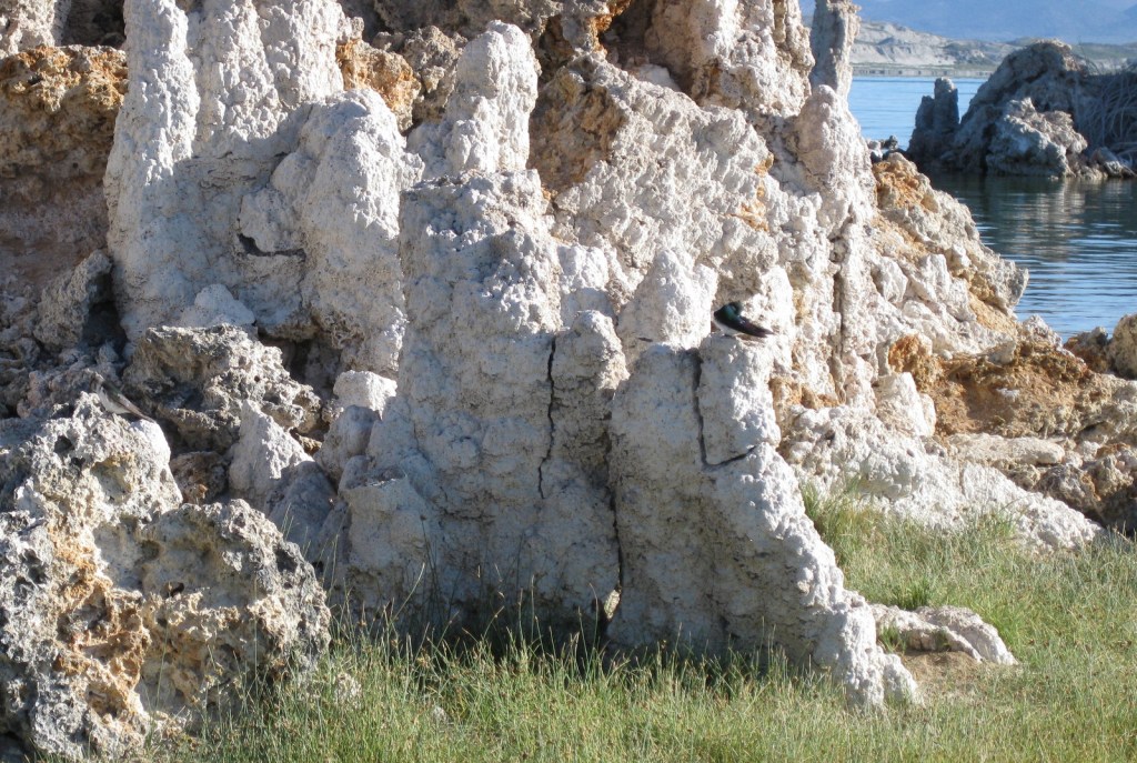
The fragile tufa formations are a great resting place for violet-green swallows and other migratory birds that come to feed on the lake’s abundant brine shrimp and alkali flies.

Peak Season

Summer

Fees

$3 per person at South Tufa Trail or America the Beautiful pass; $8 per person to enter Bodie State Historic Park

Road Conditions

There are well-graded dirt roads to Panum Crater, South Tufa, and Bodie State Historic Park.  However, the routes on the north and east sides of Mono Lake are loose sand that require a four-wheel-drive vehicle.

Camping

There are campgrounds at June Lake and along Highway 120 to Tioga Pass, but that road is closed in the winter.  Dispersed camping is allowed in Inyo National Forest, but be careful on the sandy roads around Mono Lake.

Related Sites

Inyo National Forest (California-Nevada)

Manzanar National Historic Site (California)

Devils Postpile National Monument (California)

Death Valley National Park (California-Nevada)

Nearest National Park
Yosemite

Explore More – Most of the 27 Mono Craters are phreatic volcanoes that have been plugged or over-topped by rhyolite domes and lava flows; what does “phreatic” mean?