
Columbia River Gorge National Scenic Area
Oregon-Washington
Managed by U.S. Forest Service, Pacific Northwest Region
Established 1986
292,500 acres
Website: https://www.fs.usda.gov/r06/columbiarivergorge
Overview
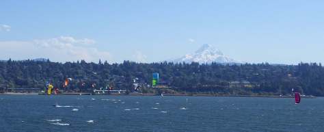
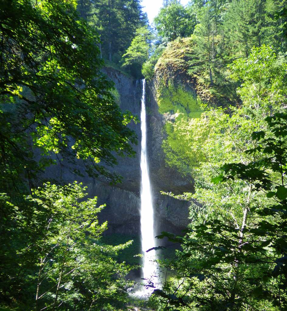
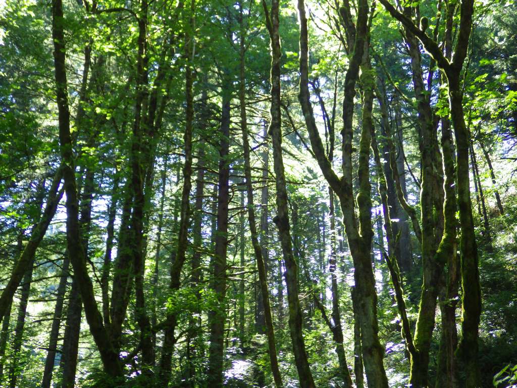
Columbia River Gorge National Scenic Area was created from riverside land that is part of Mt. Hood and Gifford Pinchot National Forests. This river corridor was traditionally used by the Chinook, Warm Springs, and Yakama peoples that were drawn to the annual salmon runs. The gorge stretches 80 miles to the Deschutes River, lined by steep basalt cliffs and many State Parks. The Oregon side is famous for its waterfalls fed by snowy Mt. Hood, the 11,249-foot-tall stratovolcano that rises to the south. The town of Hood River is considered the “Windsurfing Capital of the World” with many options for gear rentals and lessons.
Highlights
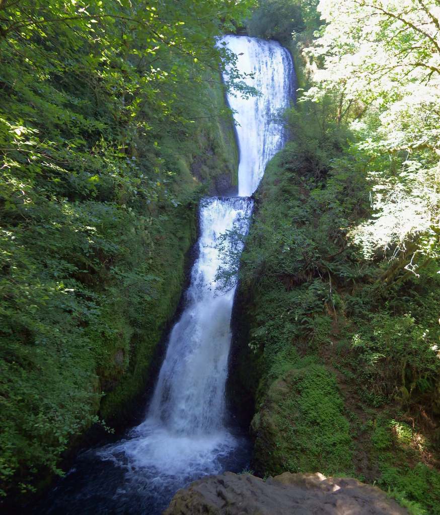
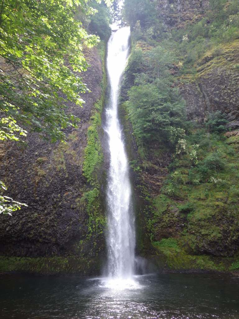
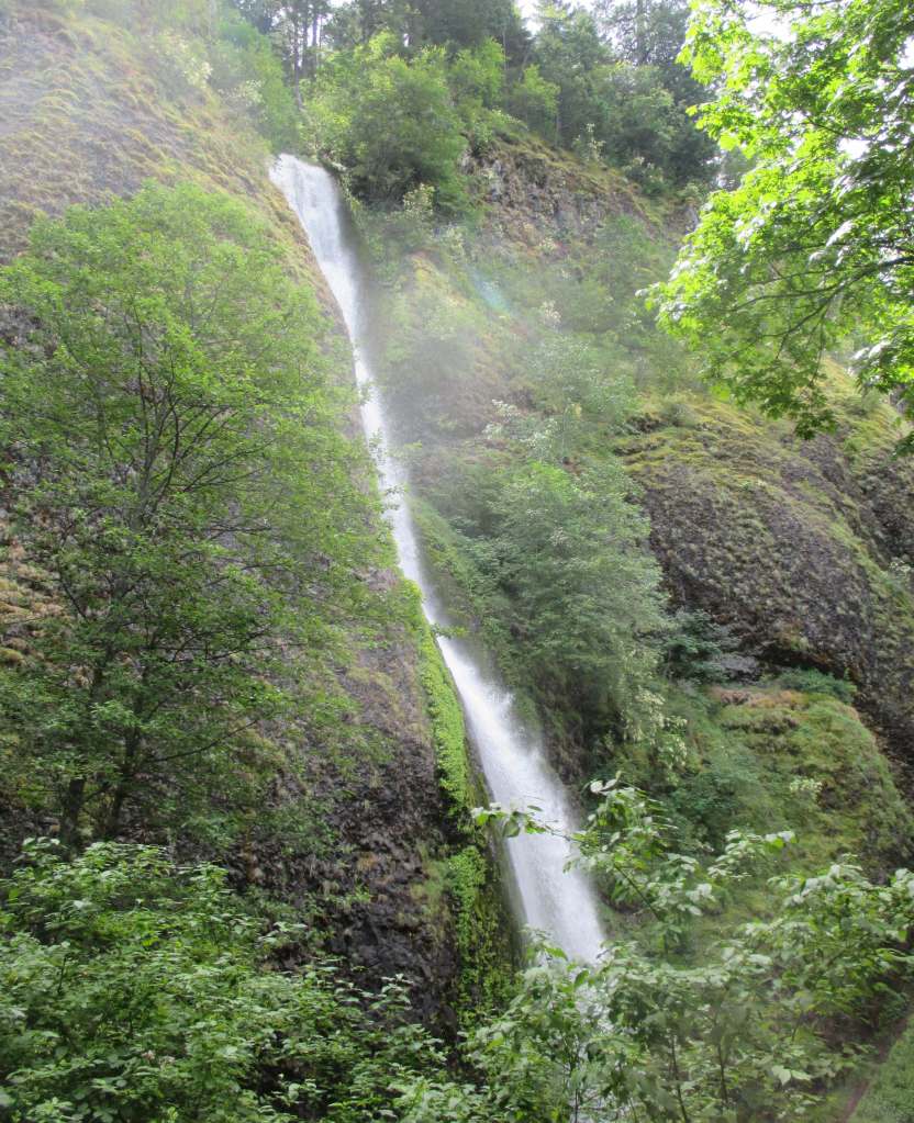
Historic Columbia River Highway, Multnomah Falls, Vista House, Dog Mountain, Bonneville Fish Hatchery, Horsetail Falls, Wahclella Falls Trail, Lewis and Clark National Historic Trail
Must-Do Activity
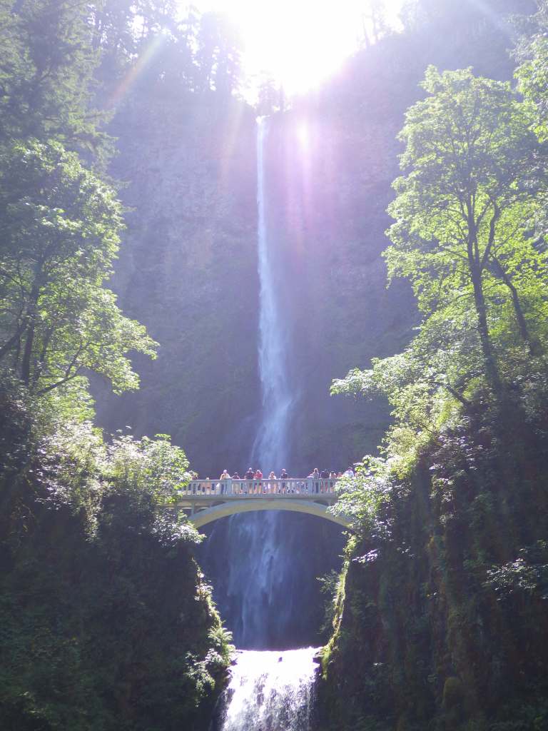
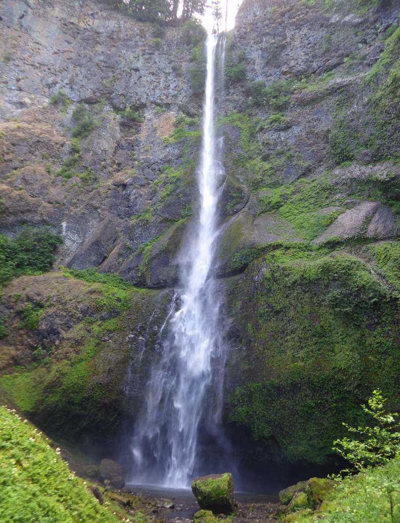
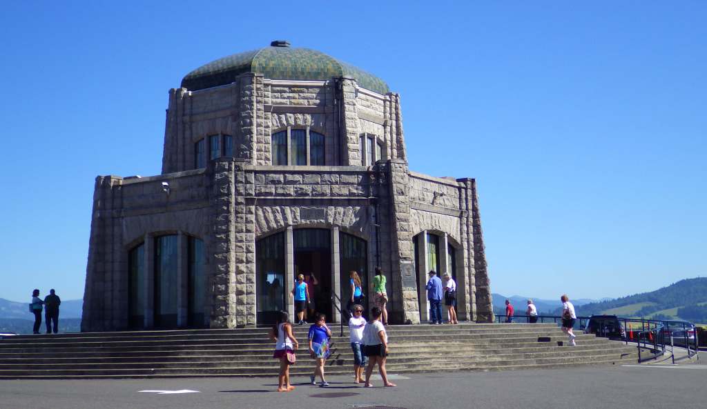
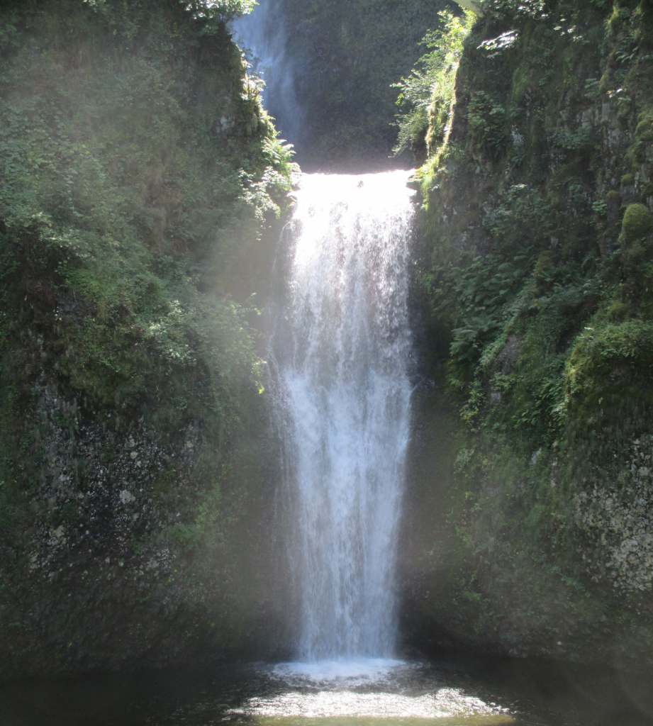
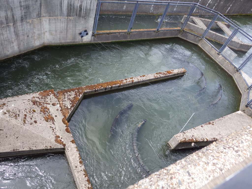
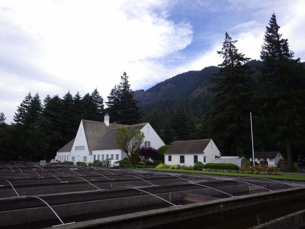
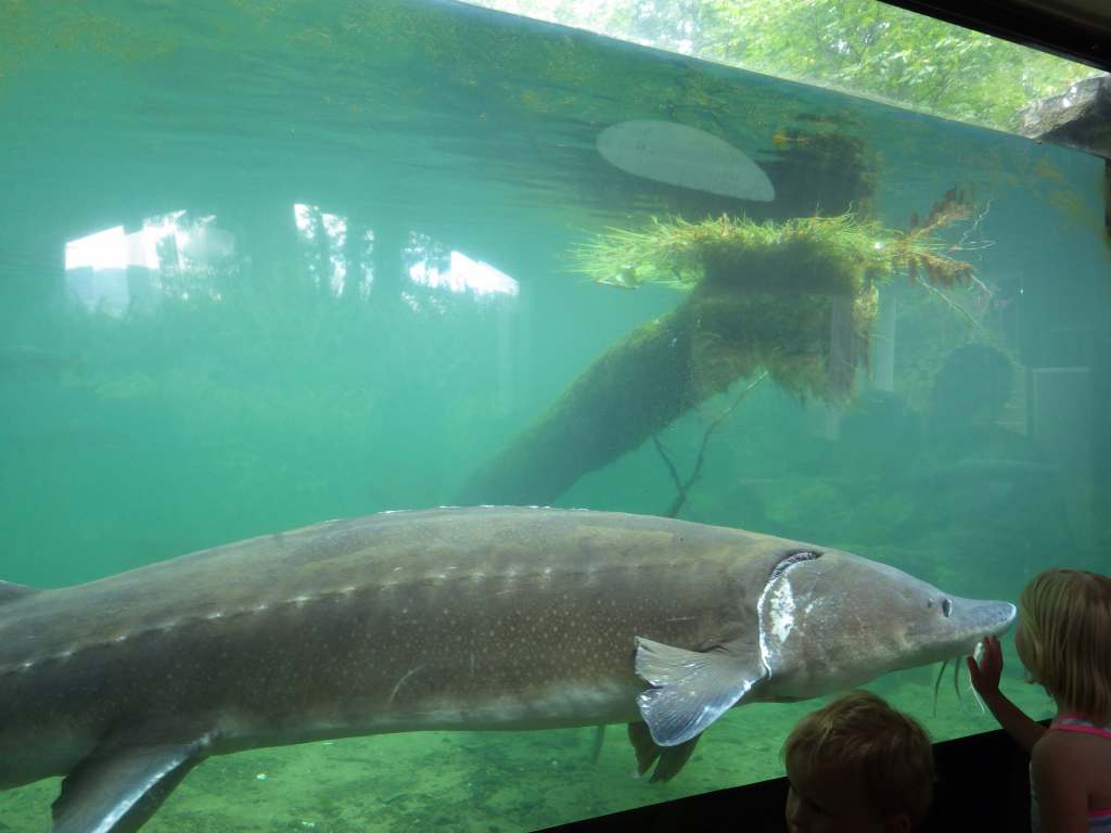
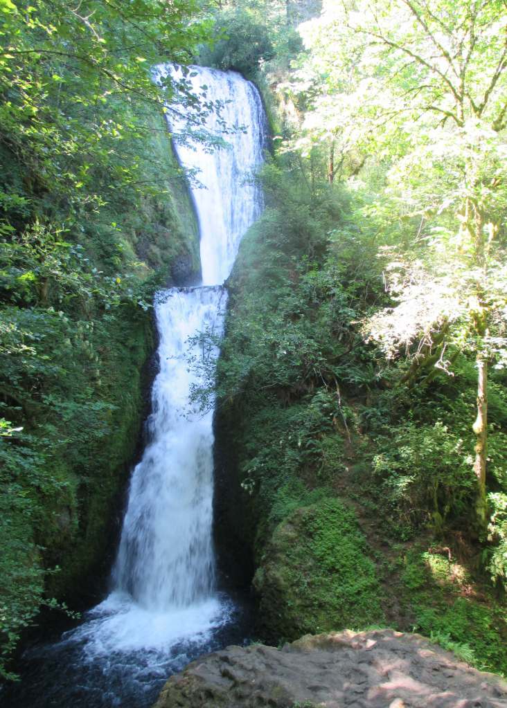
Two-tiered Multnomah Falls drops 620 feet and is the most famous waterfall on the Historic Columbia River Highway, enough so that a timed permit is now required to park May through early September. As of 2025, a parking permit is also required at Vista House, built in 1918 on a rocky point 693 feet above the Columbia River (see Fees below). To get a break from the traffic, consider parking and hiking. Wahclella Falls Trail is 2.4 miles out-and-back through a slot canyon to a 350-foot-tall two-tiered plunge (which hopefully reopens soon after it suffered extensive damages during December 2025 storms). Eagle Creek Trail goes 1.9 miles one-way to Punch Bowl Falls (honestly, there are so many good hiking options to choose from, so check out this website: https://gorgefriends.org/find-a-hike). Bonneville Fish Hatchery is free and home to Herman the Sturgeon who is 10 feet long, 500 pounds, and more than 80 years old.
Best Trail
Oneonta Trail is 3.2 miles roundtrip with an elevation gain of 425 feet to Ponytail Falls that you can walk behind. An additional 1.8 miles and 300 feet of climbing will take hikers to Triple Falls. At the same trailhead located near Horsetail Falls, the once popular route through Oneonta Gorge slot canyon has been closed due to a dangerous logjam following the 2017 Eagle Creek Fire. Dog Mountain is famous for its spring wildflower bloom, so a $2 parking reservation (or a free shuttle) is required on weekends from April through early June.
Photographic Opportunity
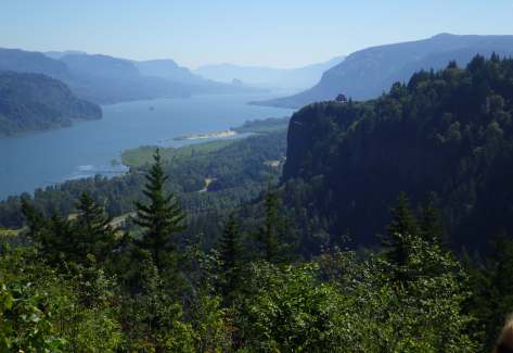
Women’s Forum State Scenic Viewpoint (or Chanticleer Point) is still free, which provides a photographic point looking east that includes Vista House.
Peak Season
Spring
Fees
$5 Northwest Forest Pass (or America the Beautiful pass) required at many U.S. Forest Service trailheads. Crown Point State Scenic Corridor at Vista House requires an annual state park pass or a parking fee of $10 per vehicle for Oregon residents and $12 for non-residents.
Road Conditions
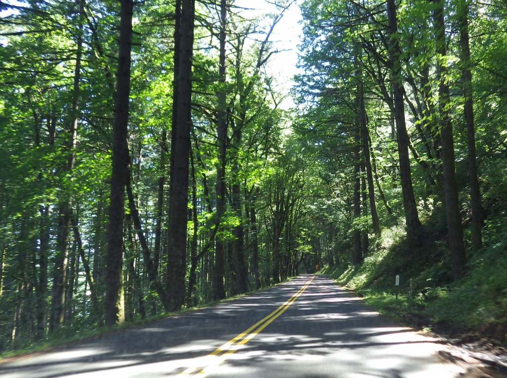
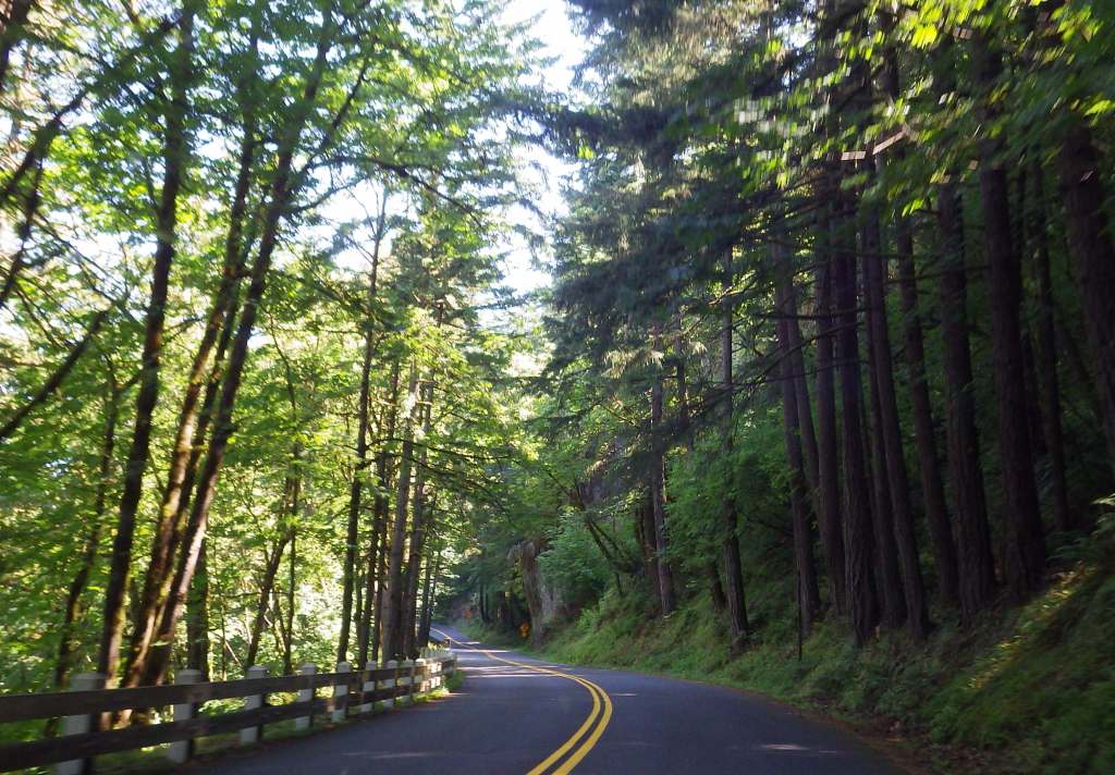
Interstate 84 runs along the Oregon side of the gorge with limited exits and State Route 14 follows the river on the Washington side. Before departing, check for road closures on the Historic Columbia River Highway.
Camping
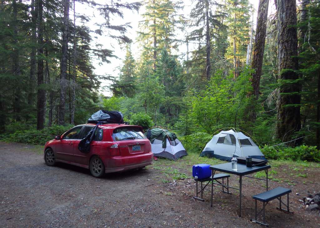
Wyeth Campground is the only one directly within the National Scenic Area, but there are several campgrounds north and south of the Columbia River in Gifford Pinchot and Mt. Hood National Forests.
Related Sites
Lewis and Clark National Historical Park (Oregon-Washington)
Fort Vancouver National Historic Site (Washington)
Mt. Hood National Recreation Area (Oregon)
Deschutes National Forest (Oregon)
Nearest National Park

Explore More – When did the Chanticleer Inn burn down, opening Chanticleer Point to be purchased by the Portland Women’s Forum and donated to the state of Oregon in 1962?

Know someone who loves the National Forests? Gift them our travel guidebook Out in the Woods so they can learn more about all 155 National Forests.

