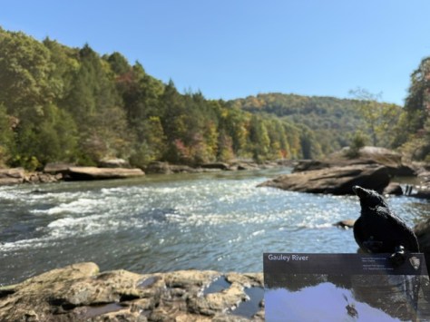
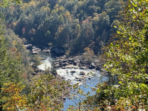
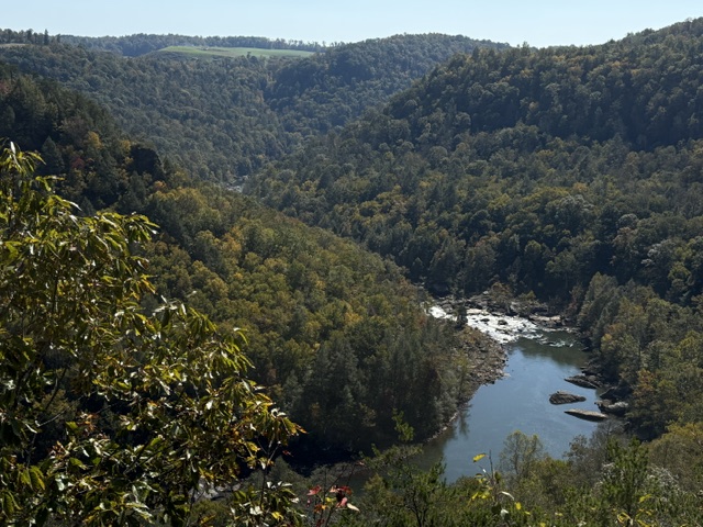
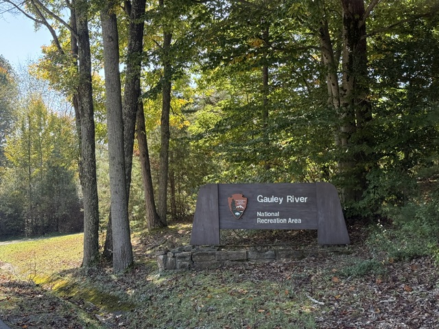
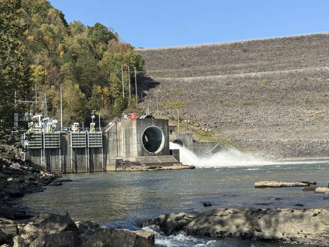
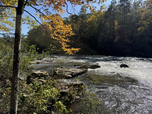
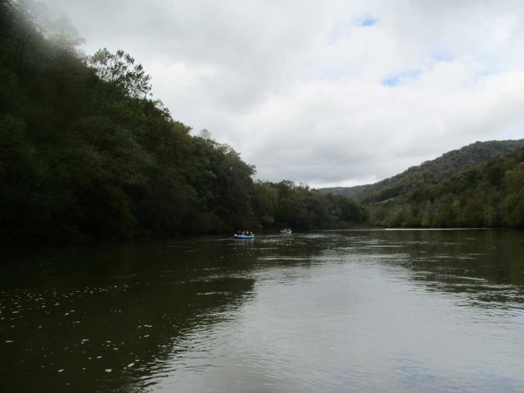
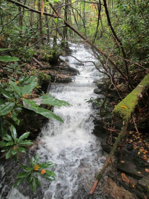
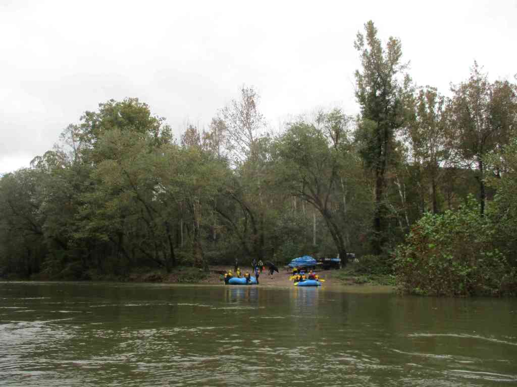
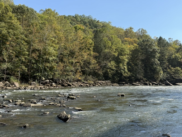
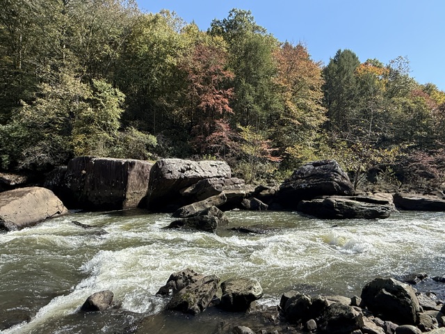
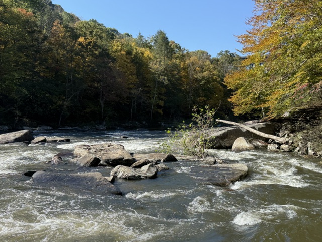
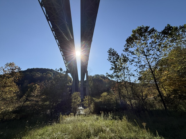
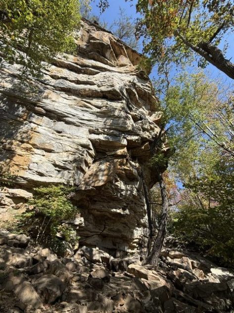
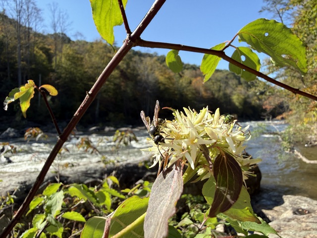
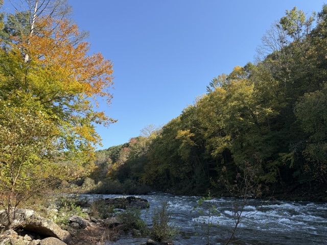
Located downstream from the U.S. Army Corps of Engineers’ Summersville Dam (completed in 1965), this area protects 25 miles of the Upper and Lower Gauley River, plus six miles of the Meadow River. The river’s headwaters are in the Monongahela National Forest and after 105 miles it joins the New River to form the Kanawha River. It is the first river to have U.S. Congress mandate dam releases 22 times each fall expressly for recreational whitewater rafting and kayaking (a major boon to the local economy). The Upper Gauley River provides habitat for a small, colorful fish called the candy darter, as well as other rare species like the Allegheny woodrat, cerulean warbler, eastern hellbender, and finescale saddled darter.
Highlights
Pillow Rock Rapid, Sweet’s Falls Rapid, Carnifex Ferry Battlefield State Park, Meadow River Gorge Trail
Must-Do Activity
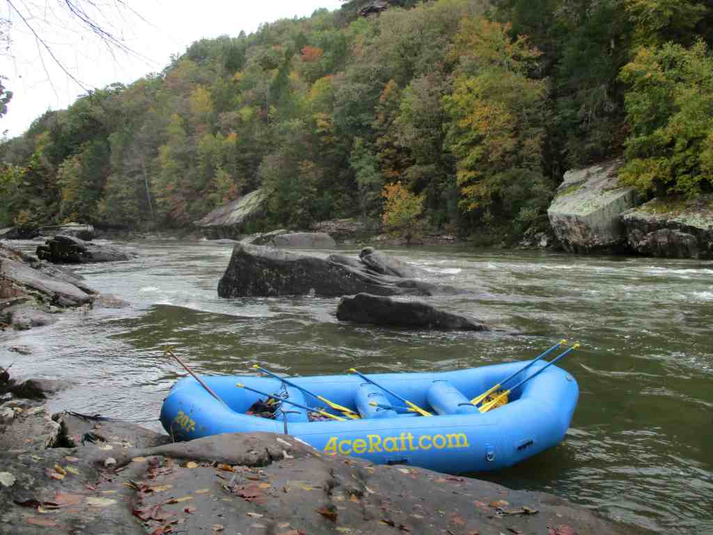
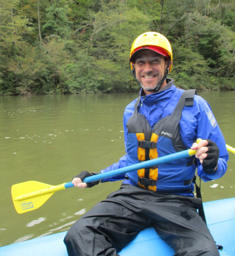
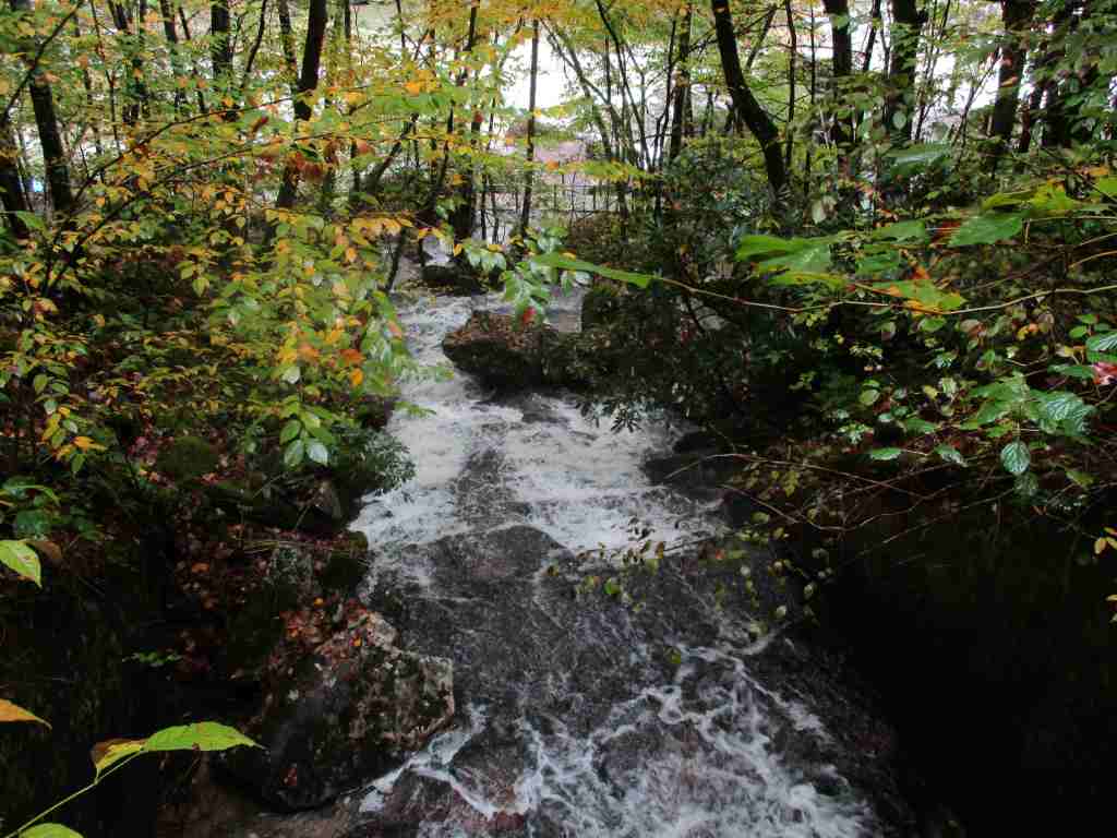
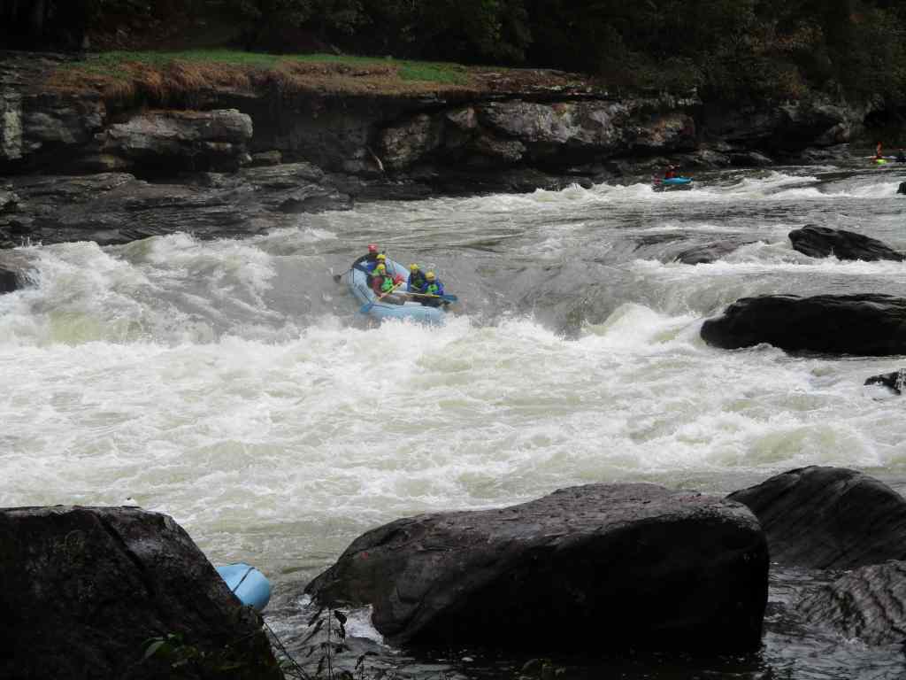
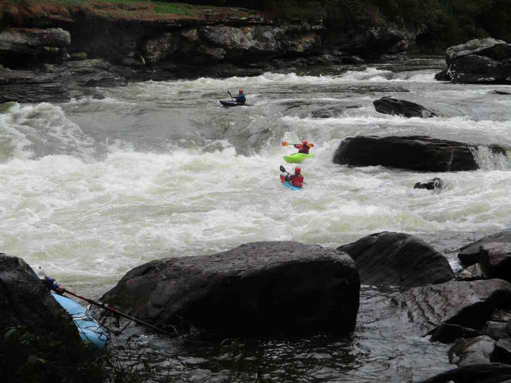
Most of Gauley River National Recreation Area is only accessible by rafting the river on six weekends each fall and occasionally after dam releases in the summer. The stream gradient drops 28 feet per mile over the course of 26 miles known as “The Marathon.” The Upper Gauley has five famous Class V rapids: Insignificant, Pillow Rock, Lost Paddle, Iron Ring, and Sweet’s Falls. The Lower Gauley offers 50 Class III–V rapids and scenic cliffs up to 500 feet high in places. Most visitors go with one of several whitewater guiding companies in the area that offer a variety of options, including overnight trips. Fishermen come to the river to catch trout, smallmouth bass, walleyes, and muskies.
Best Trail
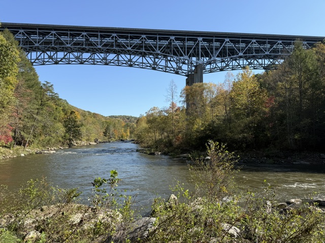
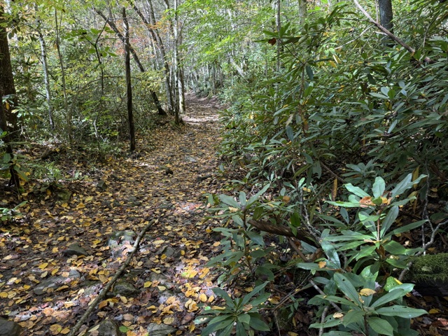
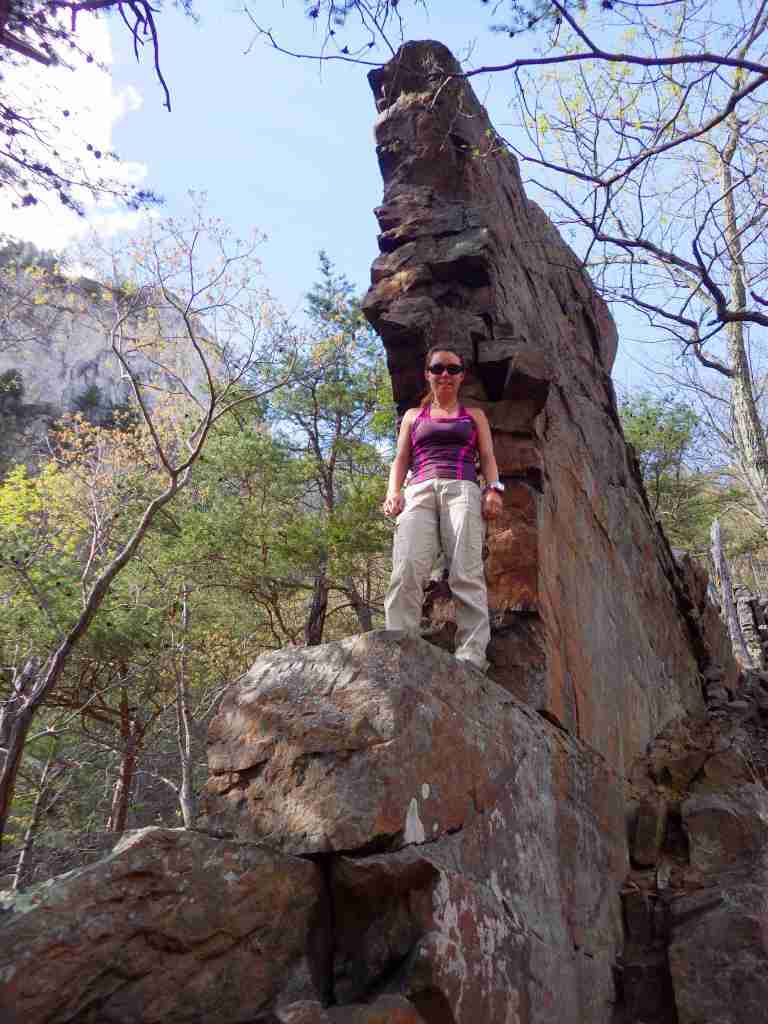
Located right off Highway 19, Meadow River Gorge Trail drops 300 feet down to the river and under the bridge to access several popular rock-climbing areas.
Photographic Opportunity
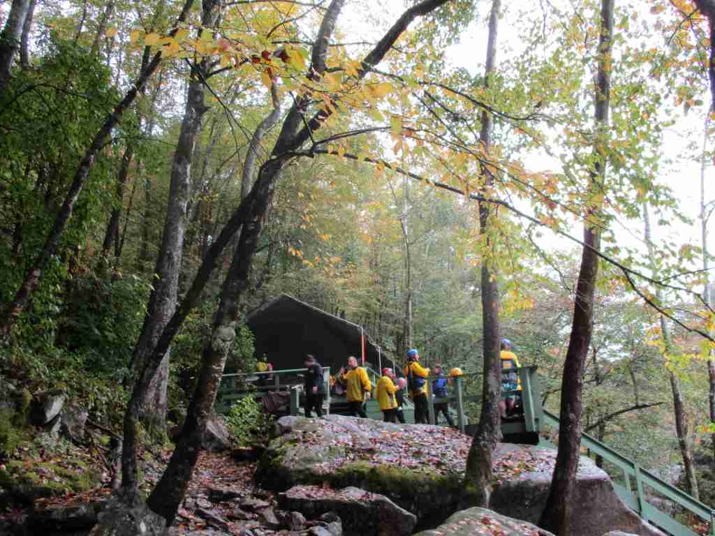
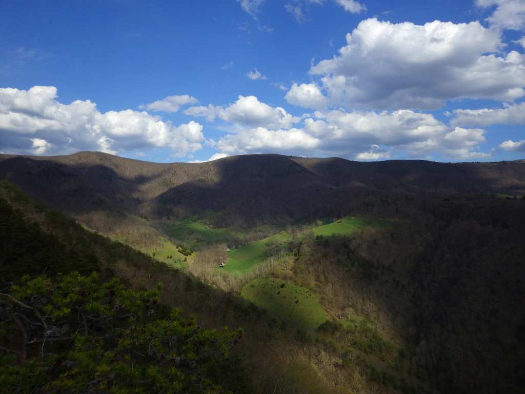
In Carnifex Ferry Battlefield State Park, a short walk down the Patterson Trail leads to an overlook of Pillow Rock Rapids.
Peak Season
Fall
Fees
None
Road Conditions
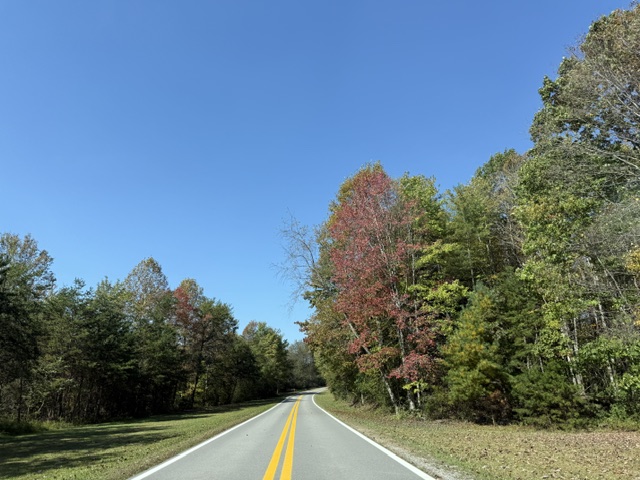
The road to Gauley Tailwaters is paved until it turns to gravel at the very end, but some of the other river access points require a high-clearance vehicle. Access is fully paved to Carnifex Ferry Battlefield State Park and Meadow River Gorge Trail.
Camping
At the dam, Gauley Tailwaters has a primitive campground with bathrooms run by the National Park Service, while the Corps of Engineers offers full-service camping on Summersville Lake. Most of the land along the Gauley River is privately owned, but backcountry camping is allowed for free on public land.
Summersville DamScott on the Gauley RiverSweet’s Falls RapidMeadow River Gorge TrailMeadow River Gorge TrailMeadow River Gorge TrailMeadow River Gorge TrailMeadow River Gorge TrailMeadow River Gorge TrailSweet’s Falls Rapid
Explore More – During the Civil War, on what date was the Battle of Carnifex Ferry fought?
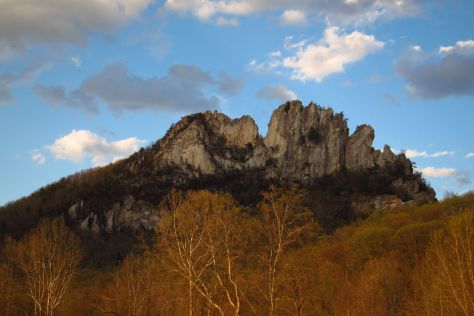
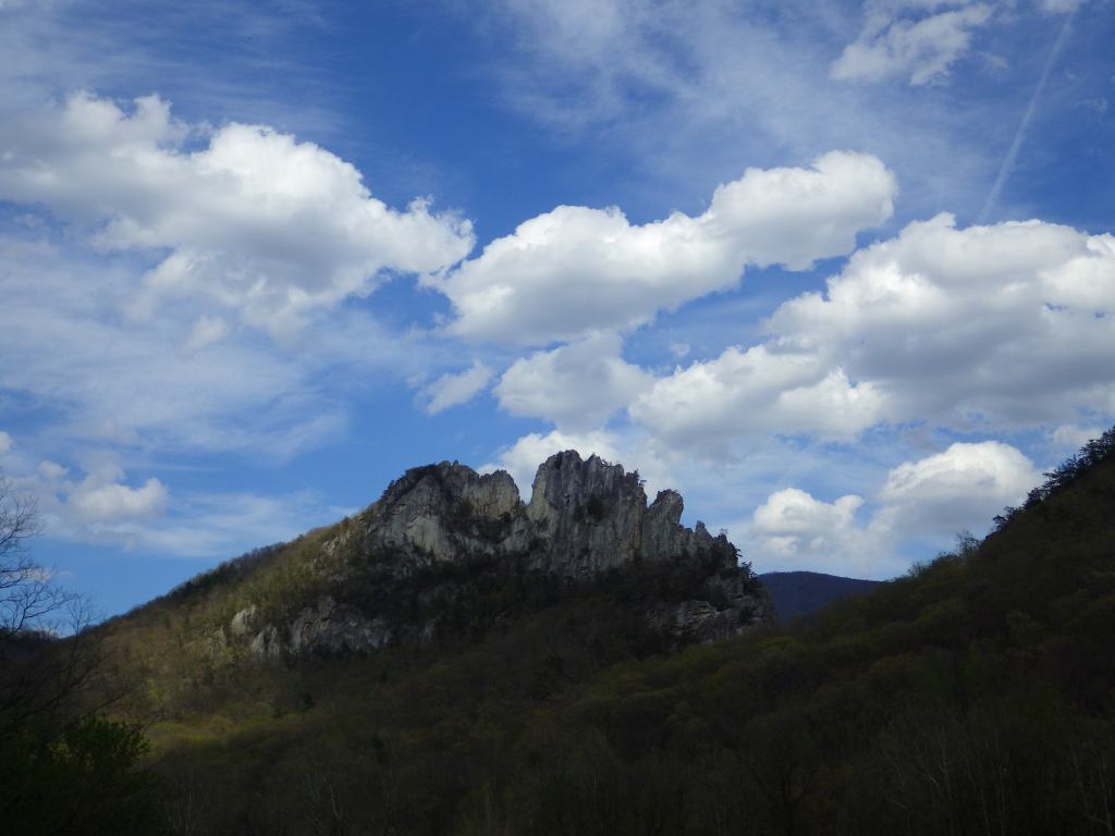
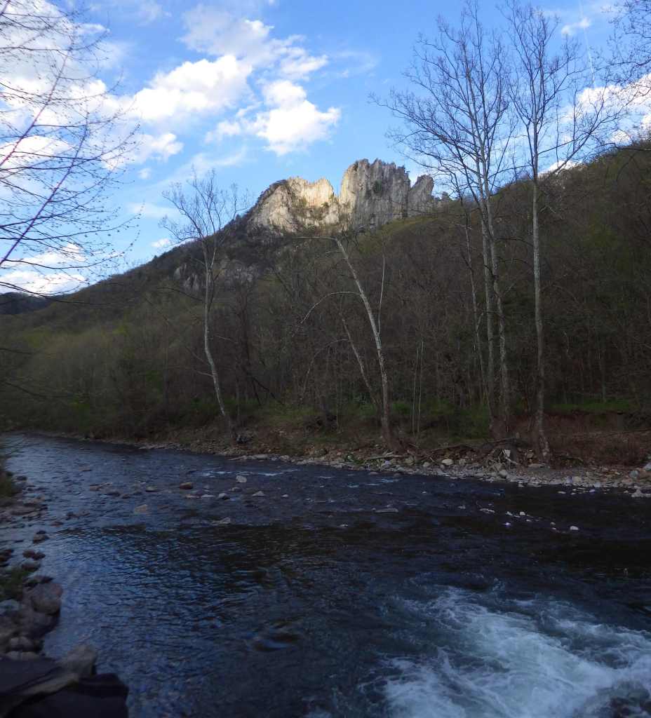
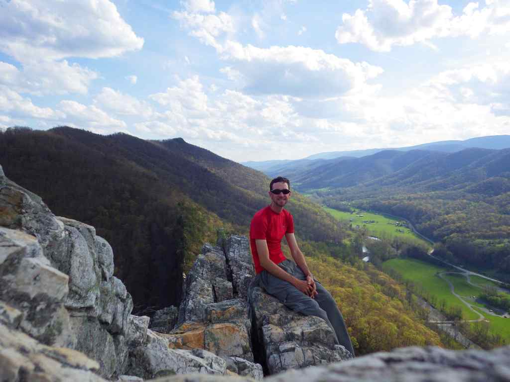
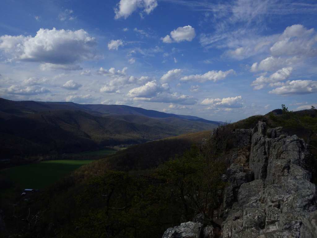
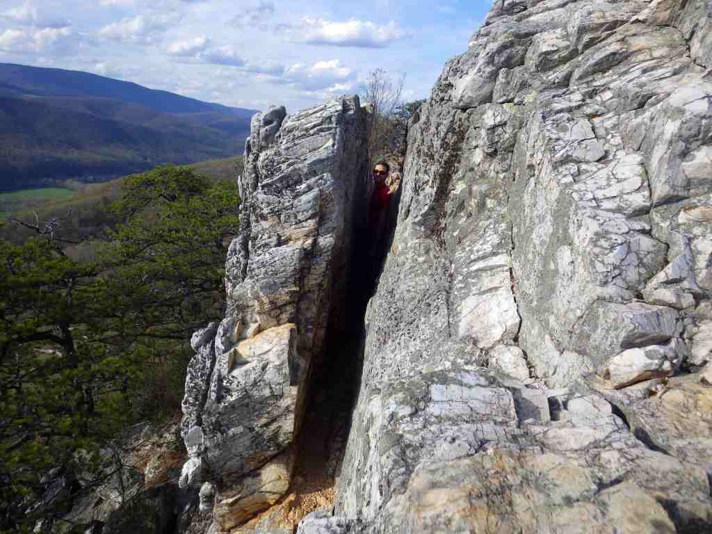
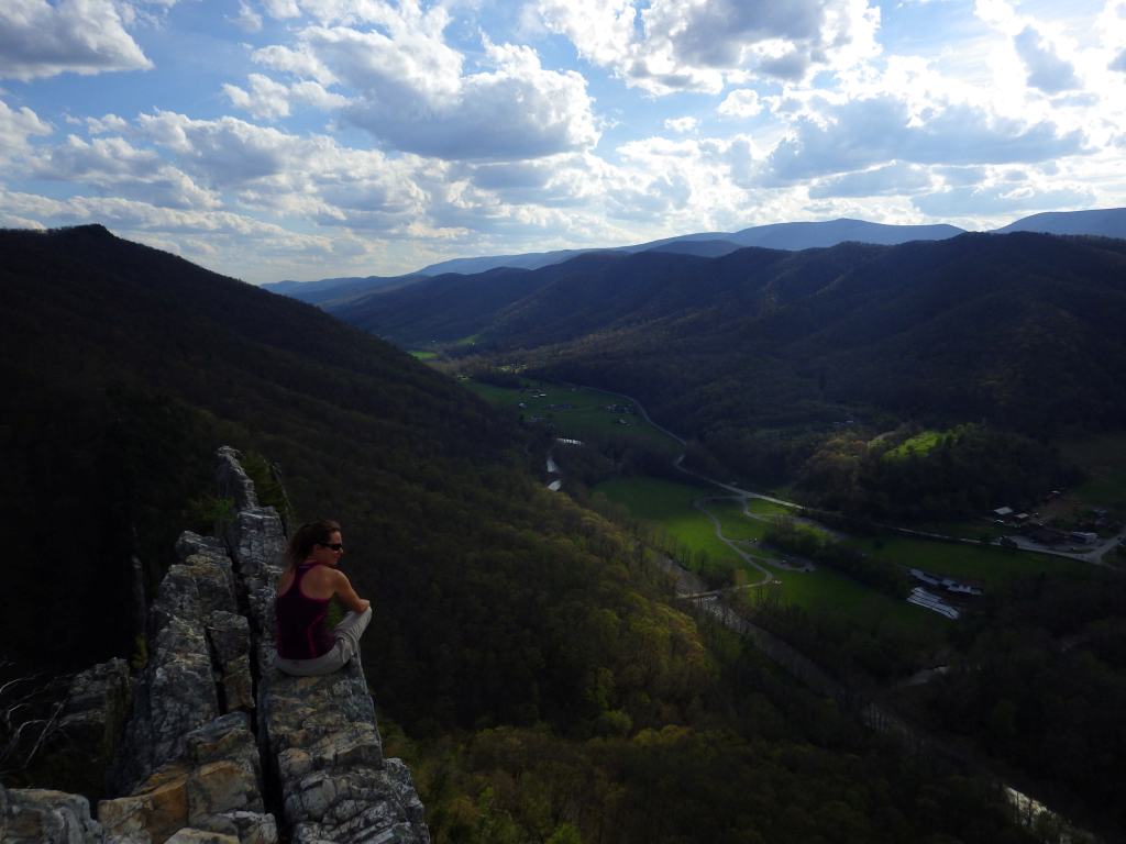
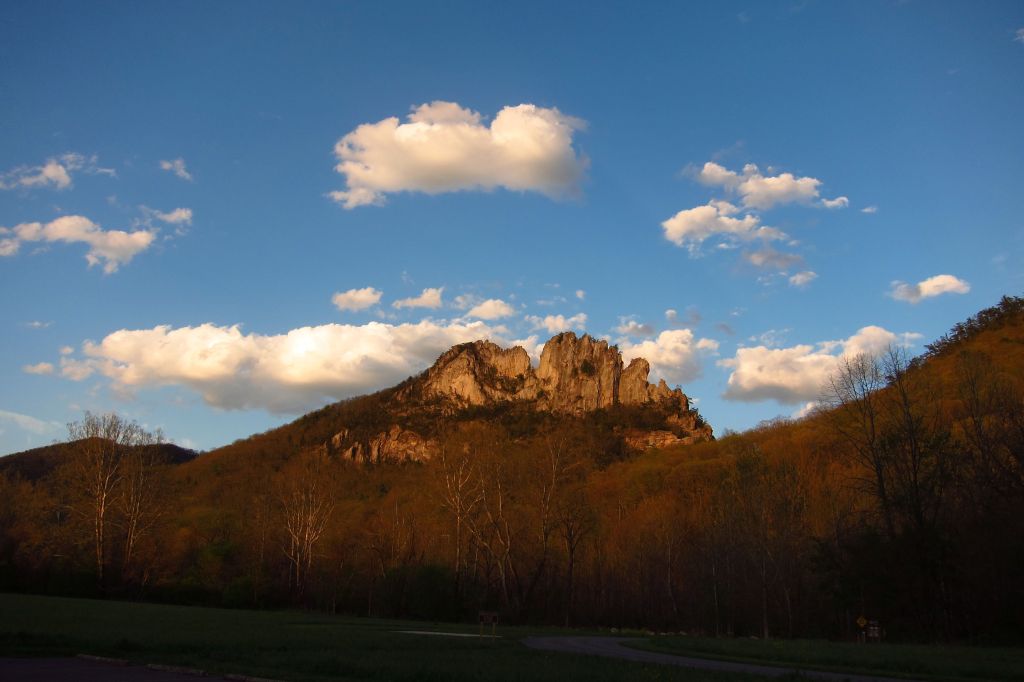
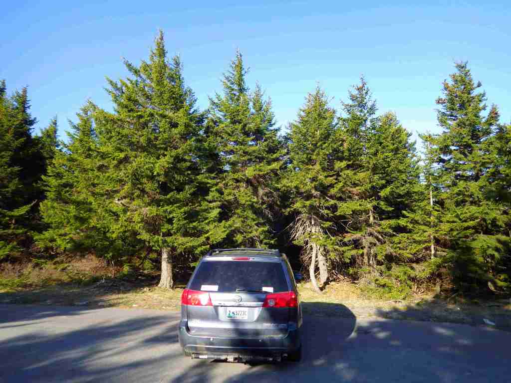
In 1965, this portion of Monongahela National Forest became the first National Recreation Area managed by the U.S. Forest Service. It includes 4,863-foot-tall Spruce Knob, the highest point in West Virginia and the Alleghany Mountains. Seneca Rocks is a 900-foot-tall quartzite crag heavily used by rock climbers, including by the military during World War II. Also part of this area, Smoke Hole Canyon is a rugged 20-mile gorge on the South Branch of the Potomac River. It is best seen by kayaking and whitewater canoeing since there are few trails. Formerly, the canyon had remote family homesteads and moonshine stills, and now it is considered one of the most biologically diverse spots in the eastern U.S.
Highlights
Seneca Rocks Discovery Center, Smoke Hole Canyon, Spruce Knob Tower
Must-Do Activity
When the road is not closed due to snow, it is easy to drive to the top of Spruce Knob where an observation tower was built for seeing over the trees at the flat summit. The half-mile Whispering Spruce Trail has interpretive signs at the top, and an extensive network of backcountry trails leave from the parking lot to access Seneca Creek and Alleghany Mountain. To the west, 25-acre Spruce Knob Lake has campgrounds and picnic tables, as well as boating and fishing opportunities (but no swimming is allowed). Rock climbing is one of the biggest draws to this area, especially at Seneca Rocks and in Smoke Hole Canyon (at Eagle Rocks, the Route 220 entrance, and the walls of Long Branch).
Best Trail
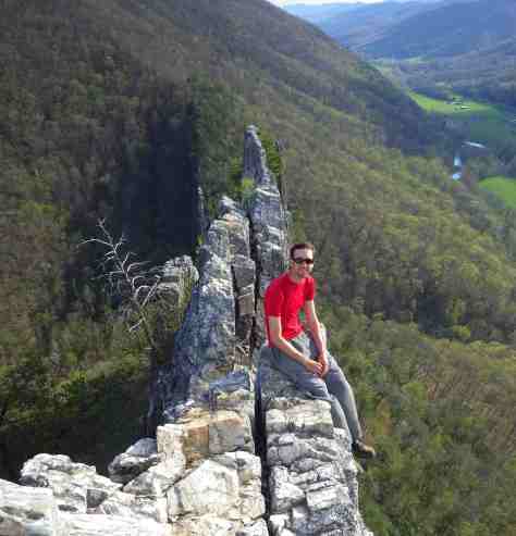
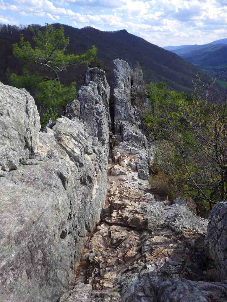
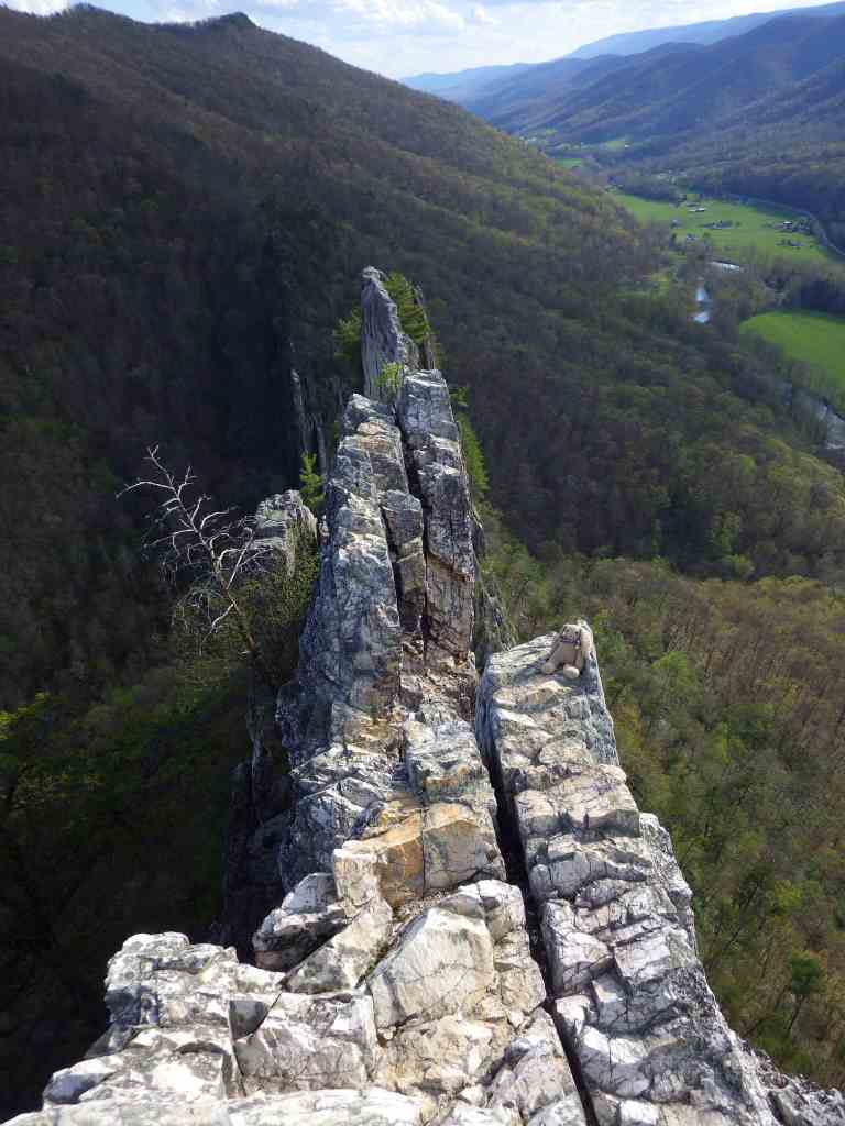
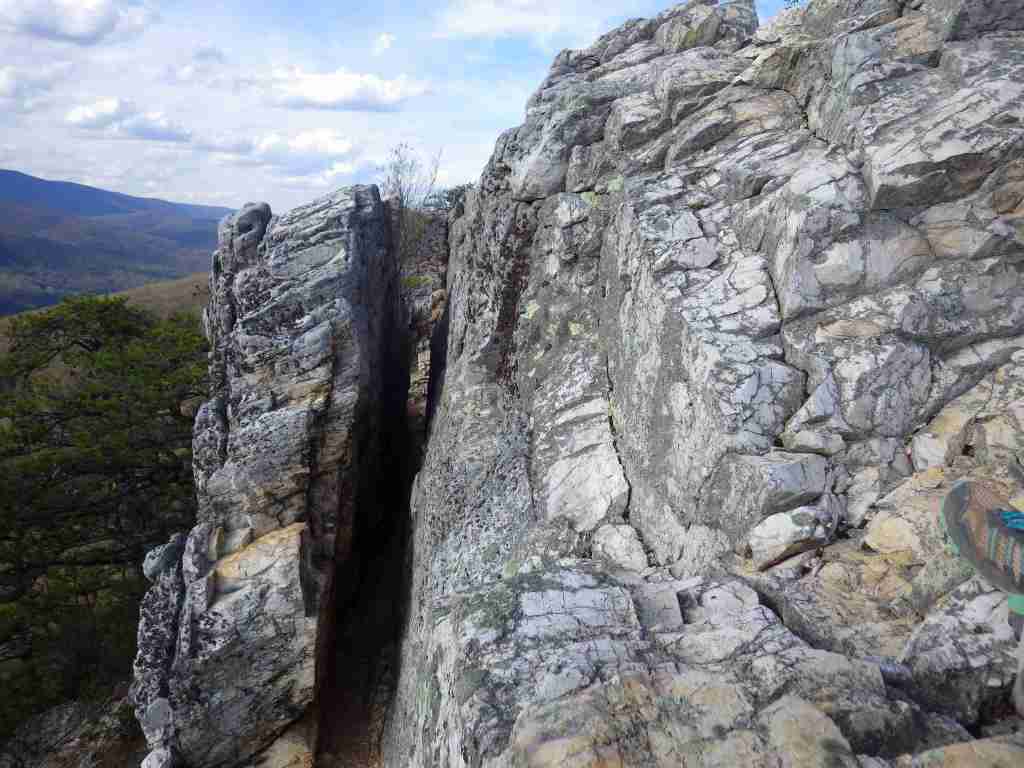
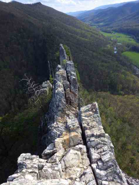
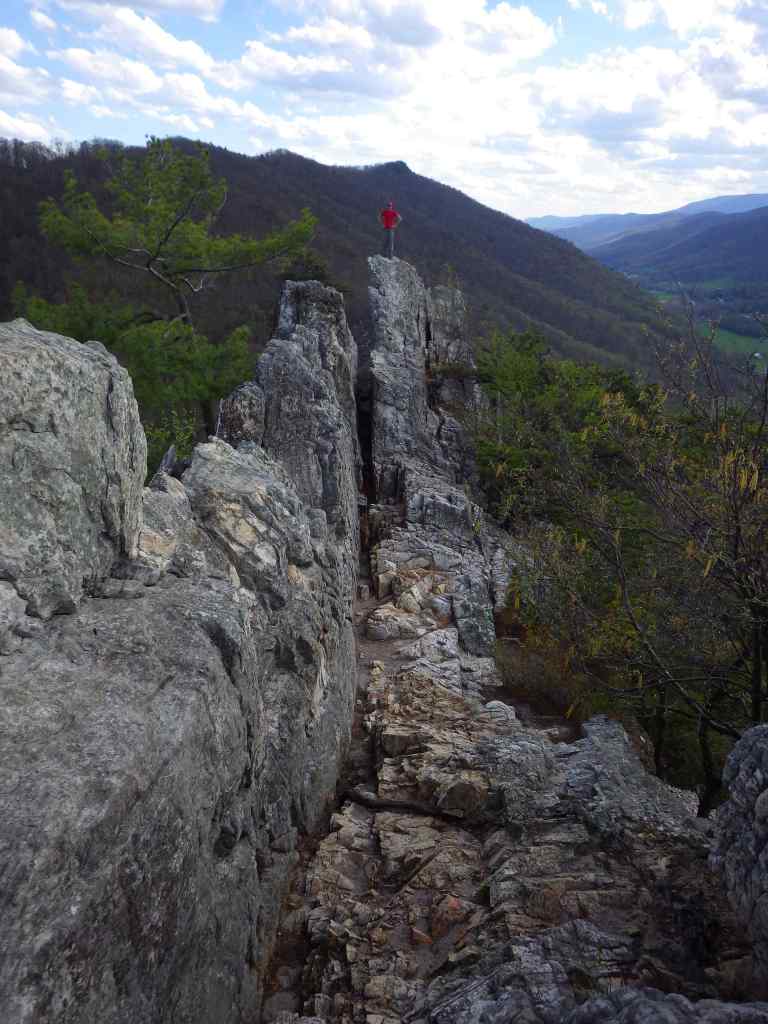
For those not interested in roping up to climb the steep cliffs, stop into the Seneca Rocks Discovery Center open Thursday through Monday in the summer. Next door at the Sites Homestead, on Saturdays pioneer interpreters demonstrate quilting, fiddling, and basket-weaving. Hikers can access the narrow rock ledge at Seneca Rocks via a steep 1.3-mile one-way trail that circles the formation.
Photographic Opportunity
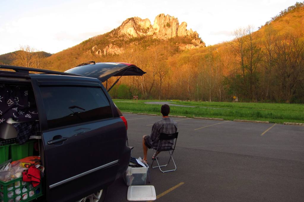
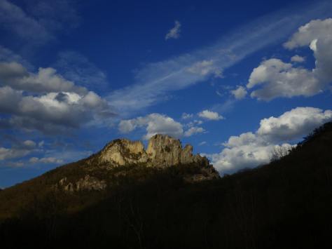
The jagged spires of Seneca Rocks are the most photogenic rock formation in the state. Since 1971, more than a dozen people have died from falls at the site, so exercise extreme caution at the top of the cliff.
Peak Season
Summer
Fees
None
Road Conditions
The paved road to the top of Spruce Knob is open year-round when it is snow-free.
Camping
Big Bend Campground offers 46 sites with hot showers and is located on a peninsula in Smoke Hole Canyon. Seneca Shadows Campground accepts online reservations April through October for walk-to tent sites and standard RV sites. Spruce Knob Lake Campground is more primitive with vault toilets, as are some other campgrounds in Monongahela National Forest.
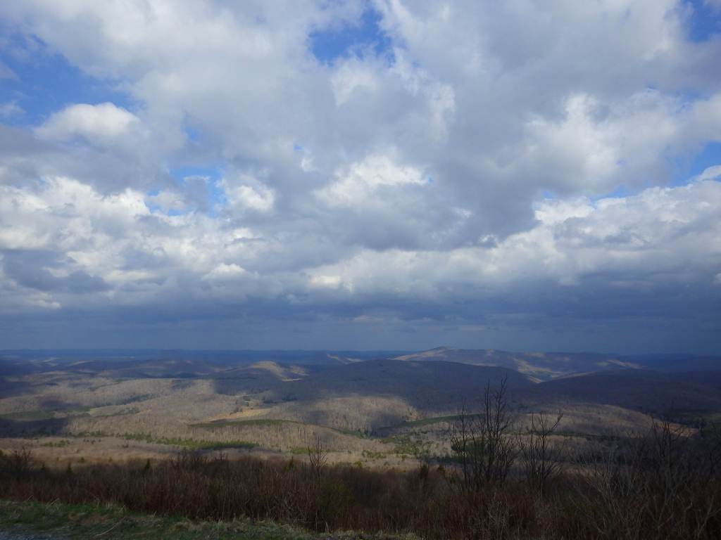
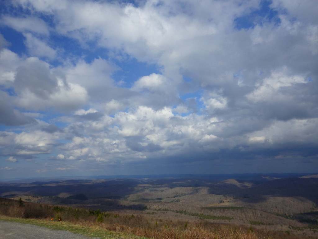
Monongahela National Forest contains the highest point in West Virginia, 4,863-foot-tall Spruce Knob with an observation tower for seeing over the trees at its summit. It is part of Spruce Knob-Seneca Rocks National Recreation Area (see our full blog post), which is very popular with rock climbers. The National Forest’s initial 7,200 acres were purchased by the federal government in 1915, and it the grew to 150,367 acres over the next decade. During World War II, the U.S. Army utilized the area as an artillery and mortar range, in addition to training soldiers in climbing techniques at Seneca, Nelson, and Champe Rocks. This area receives an average of 60 inches of annual precipitation on the west side of the Allegheny Front and only half that on the rain shadow side. It is the headwaters of six major rivers: the Monongahela, Potomac, Greenbrier, Elk, Tygart, and Gauley.
Know someone who loves the National Forests? Gift them our travel guidebook Out in the Woods so they can learn more about all 155 National Forests.
Highlights
Spruce Knob-Seneca Rocks National Recreation Area, Cranberry Glades Botanical Area, Highland Scenic Highway, Lake Sherwood Recreation Area, Gaudineer Knob Scenic Area, Cassell Cave, Sinks of Gandy, Stuart Memorial Drive, Champe Rocks, Dolly Sods Scenic Area
Must-Do Activity
There are 94,991 acres in eight designated Wildernesses in Monongahela National Forest, more than half of which is in the Cranberry Wilderness. A boardwalk traverses the bogs at Cranberry Glades Botanical Area, which has a visitor center run by the Forest Service. Fishing is a popular pastime, especially at Lake Sherwood, Spruce Knob Lake, and Lake Buffalo. When winter conditions are right, there is a snowmobile area on Highland Scenic Highway. The forest is mostly second growth, but 318 acres of old-growth remains, which can be seen at Fanny Bennett Hemlock Grove, Gaudineer Scenic Area (for red spruce), Shavers Mountain Spruce-Hemlock Stand, North Fork Mountain Red Pine Botanical Area, North Spruce Mountain Old Growth Site, and Virgin White Pine Botanical Area.
Best Trail
There is great hiking in Spruce Knob-Seneca Rocks National Recreation Area, and other trails can be found at Lake Sherwood Recreation Area, Falls of Hill Creek Scenic Area, Mt. Porte Canyon, and Stuart Recreation Area. The 17,371-acreDolly Sods Wilderness encompasses much of the Red Creek drainage with high-elevation bogs and heaths like those found in southern Canada.
Watchable Wildlife
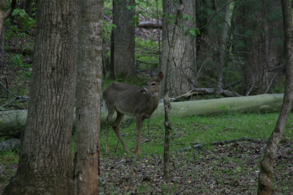
It is hard to believe given their abundant numbers today, but in the 1930s white-tailed deer had to be reintroduced from Michigan. In 1969, 23 fishers were reintroduced from New Hampshire. Other large mammals include black bear, red and gray fox, coyote, bobcat, snowshoe hare, beaver, river otter, raccoon, mink, skunk, and opossum. Of the 230 bird species identified, 159 are known to breed here. Approximately 90% of the trout waters in West Virginia are within the National Forest, and trout are stocked at Spruce Knob Lake and other locations.
Photographic Opportunity
The iconic Seneca Rocks are a 900-foot-tall quartzite crag heavily used by rock climbers. On October 22, 1987, a prominent pinnacle dubbed “the Gendarme” fell to the ground.
Peak Season
Summer
Fees
A day use fee applies at Lake Sherwood Recreation Area.
Road Conditions
Most roads are open year-round, including the paved road to the top of Spruce Knob when it is snow-free.
black ash, mountain ash, black cherry, yellow birch, sugar maple, red maple, sweet birch, cucumber magnolia, American beech, basswood, speckled alder, mountain laurel, white rhododendron
Explore More – The Monongahela River gets its name from the Lenape language, and it translates as what in English?
Learn more about this and the 154 other National Forests in our new guidebook Out in the Woods
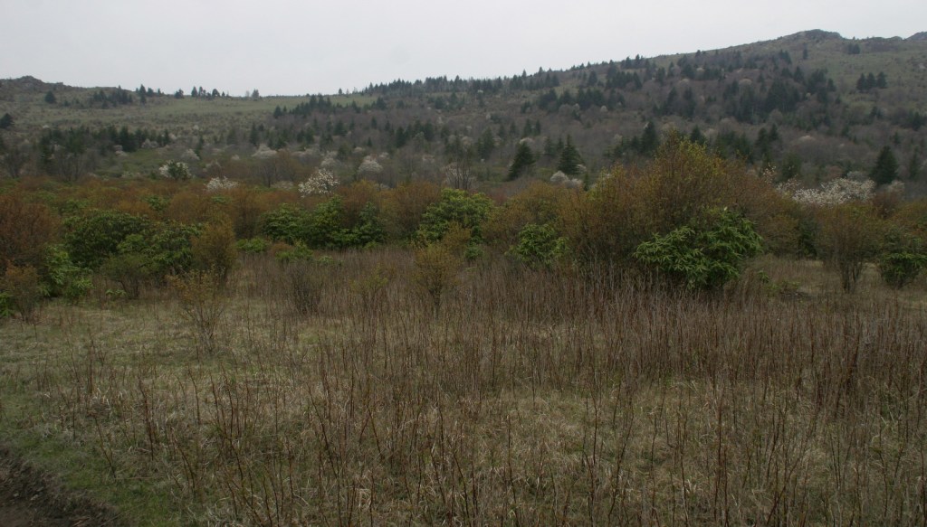
In western Virginia, Jefferson National Forest contains Mt. Rogers, the state’s highest point at 5,729 feet (see our post on Mt. Rogers National Recreation Area). There are 17 designated Wildernesses in Jefferson National Forest, second only to the 19 in Alaska’s massive Tongass National Forest. In 1995, George Washington and Jefferson National Forests were administratively combined. Is it just us, or does that name seem to celebrate George Jefferson from the 1970s sitcom? It is supposed to commemorate native-Virginian Thomas Jefferson who was the original author of the 1776 Declaration of Independence and the third President of the U.S. The Omnibus Public Land Management Act of 2009 created both the Bear Creek (5,503 acres) and Seng Mountain (6,455 acres) National Scenic Areas as specially designated parts of Jefferson National Forest.
Highlights
Blue Ridge Parkway, Mt. Rogers National Recreation Area, Seng Mountain National Scenic Area, Bear Creek National Scenic Area, Settlers Museum of Southwest Virginia, James River Gorge, Mountain Lake, Apple Orchard Falls, Cave Mountain Lake, Glenwood Iron Furnace, High Knob, Little Stony Creek, Lake Keokee, Olinger Gap Trail, Virginia Creeper Trail, Virginia Highlands Trail, Appalachian National Scenic Trail
Must-Do Activity
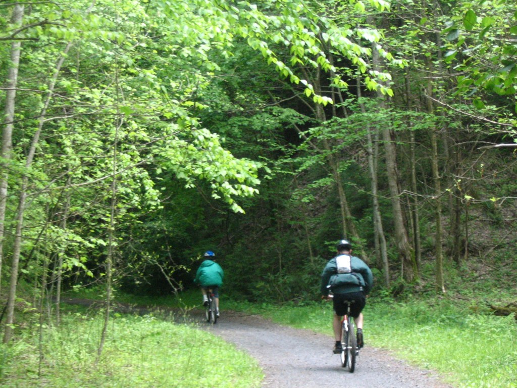
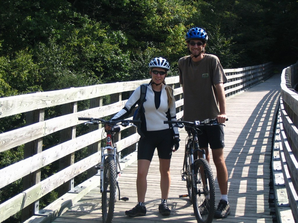
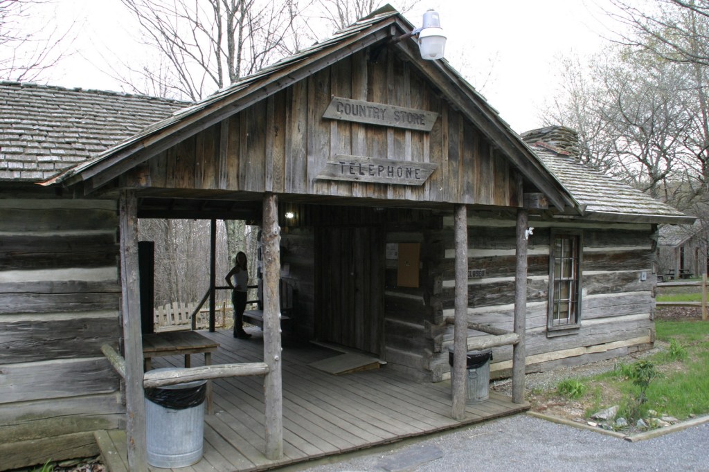
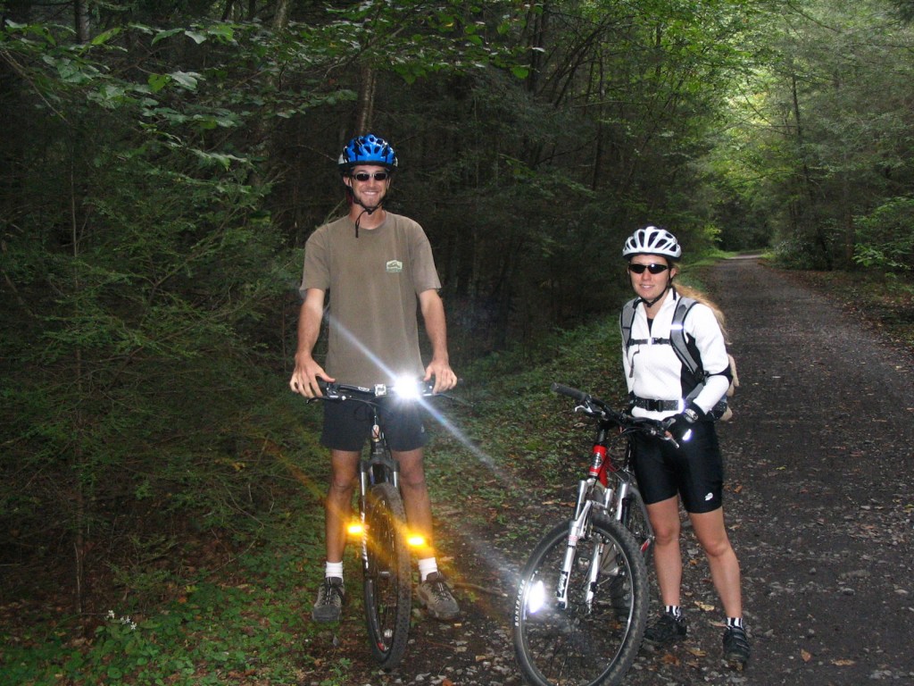
We have only visited the Mt. Rogers National Recreation Area (which made it on our Top 10 List) portion of Jefferson National Forest, which sits just north of the North Carolina border. One popular day trip there is to bike the 33-mile-long Virginia Creeper Trail, which is also open to hikers and horse riders. Last used in 1977, the former railroad grade runs 18 miles downhill from Whitetop Station Visitor Center to the town of Damascus, and local outfitters can provide shuttles to the trailheads and rental bikes. The trail drops 1,600 feet in total (sometimes at a 7% grade); no wonder those steam locomotives were “creeping” up the hill. Outside the National Forest, another 15 miles of railroad bed runs to Abingdon and includes the lowest point on the trail at the scenic South Holston Trestle.
Best Trail
Apple Orchard Falls has a drop of 200 feet and can be accessed from Sunset Fields Overlook at Milepost 78 on the Blue Ridge Parkway. Considered the most popular hike in Jefferson National Forest, the steep trail is only 1.3 miles long one-way, but gains more than 1,000 feet in elevation. A six-mile loop can be completed by connecting to the Cornelius Creek Trail with a total elevation gain of 1,438 feet. Olinger Gap Trail is another short, scenic route that connects the 3.7-mile Lake Keokee Loop Trail and the 14-mile Stone Mountain Trail.
Watchable Wildlife
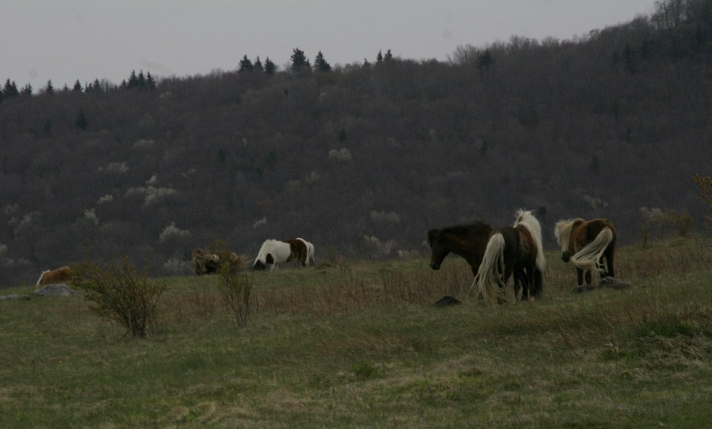
Jefferson National Forest has elevations ranging from 649 feet at the James River up to 5,729 feet, offering a variety of habitats. Its most famous residents may be the wild miniature ponies that hang out in the heath balds around Mt. Rogers. Like George Washington National Forest, there are several types of rare salamanders found here, including the golden pygmy salamander. Noteworthy mammals are white-tailed deer, black bears, bobcats, raccoons, river otters, martens, and weasels. Large birds found in Jefferson National Forest include wild turkeys, turkey vultures, bald eagles, peregrine falcons, and several types of hawks.
Instagram-worthy Photo
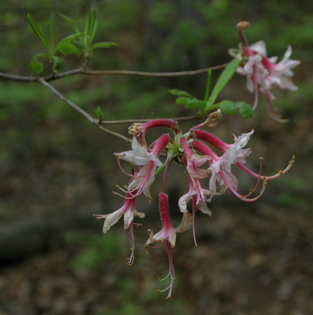
Spring and early summer are a great time to visit to see blooming azalea, mountain laurel, and rhododendron bushes.
Peak Season
Spring and fall
Fees
$5 day-use fee at Beartree Recreation Area
Road Conditions
The Peaks of Otter Visitor Center on the paved Blue Ridge Parkway is managed by the National Park Service adjacent to Jefferson National Forest. There are unpaved roads scattered throughout the mountains, including a rough road off Forest Road 606 that comes close to the 15-foot-tall Falls of Dismal (also accessible by hiking trail).
Camping
Beartree, Hurricane, Cane Patch, Laurel Falls, Cave Springs, Bark Camp Lake, Cave Mountain Lake, Pines, and White Rocks are only a selection of the many designated campgrounds in Jefferson National Forest. There is a 25-foot right-of-way for backpack camping on both sides of the Virginia Creeper Trail, except on private property.
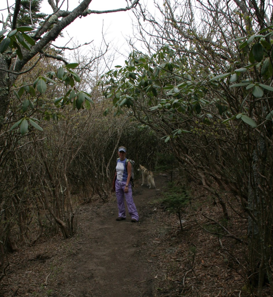
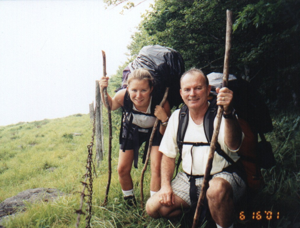
Tiff on the Virginia Creeper TrailVirginia Creeper TrailVirginia Creeper TrailTiff and Scott on the Virginia Creeper TrailTiff with a friendly localTiff and her father backpacking in 2001Tiff and Scott on the Virginia Creeper TrailVirginia Creeper TrailWhite-tailed deer
American beech, yellow birch, mountain maple, sugar maple, white oak, black oak, northern red oak, rock chestnut oak, bear oak, hickory, basswood, sweet buckeye, American elm, sourwood, mountain laurel, azalea, rhododendron
Explore More – What is the scientific name for Virginia creeper, the native vine with palmately compound leaves?
Learn more about this and the 154 other National Forests in our new guidebook Out in the Woods
We are a participant in the Amazon Services LLC Associates Program, an affiliate advertising program designed to provide a means for us to earn fees by linking to Amazon.com and affiliated sites.
First established as the Shenandoah National Forest in 1918, George Washington National Forest covers portions of the Blue Ridge and Allegheny Mountains. It includes the northern 60 miles of the Blue Ridge Parkway and a significant stretch of the Appalachian National Scenic Trail south of Shenandoah National Park. The National Forest’s proximity to Washington, D.C. and Baltimore makes it a major recreation destination, particularly for trail runners. It is now co-managed with the more western Jefferson National Forest, together encompassing 230,000 acres of old-growth forests, 139,461 acres of Wilderness areas, and more than 2,000 miles of trails.
Highlights
Mt. Pleasant National Scenic Area, Big Walker Mountain Scenic Byway, Highland Scenic Tour, Massanutten Visitor Center, Sherando Lake, White Rock Creek Falls, Lake Moomaw, Woodstock Tower, Upper Shamokin Falls, Slacks Overlook, High Knob Fire Tower, Maple Flats, Bird Knob Loop Trail, Lion’s Tale National Recreation Trail, Waterfall Mountain Loop Trail, McDowell Battlefield Trail, Big Schloss Trail, Crabtree Falls Observation Trail, Story Book Trail, Pig Iron Loop Trail, Dragons Tooth Trail, Appalachian National Scenic Trail
Must-Do Activity
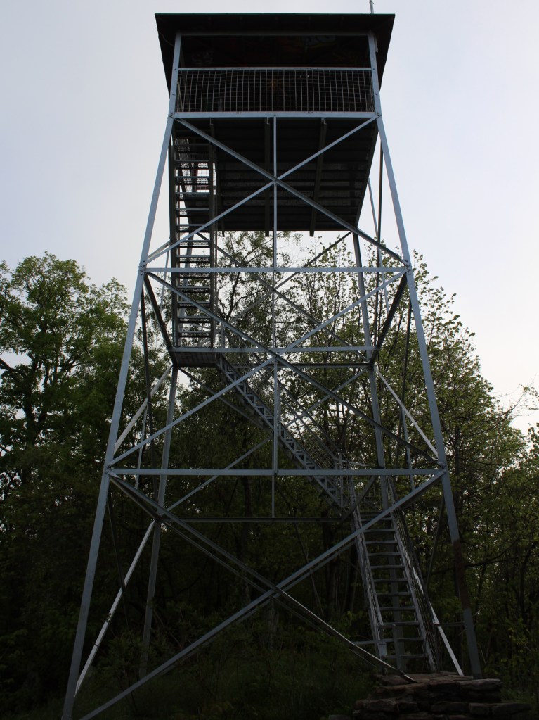
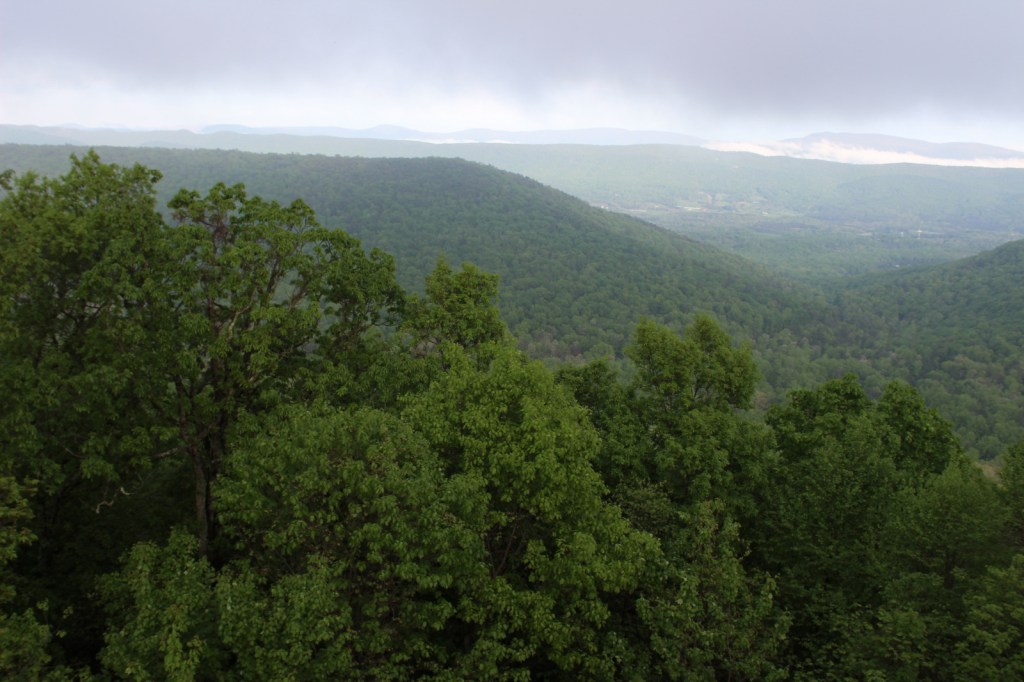
Driving the Blue Ridge Parkway through George Washington National Forest is a must-do, but there are other attractions to be found in this ridgeline-running forest. Not far east off Interstate 81, it is a short drive up a gravel road to Woodstock Lookout Tower, where a short, flat trail accesses the metal structure that provides views of the Seven Bends of the Shenandoah River. Downhill on the eastern side of that ridge (and protected from freeway noise) is the free Little Fort Campground with nine campsites. There is a charge to ride the Peters Mill Gap and Taskers Run ATV/OHV trails (covering 40 miles) that leave from the campground. A one-mile hiking trail leaves from Campsite 8 and climbs up to Woodstock Tower.
Best Trail
Crabtree Falls Observation Trail (day use fee) is easy to access from paved State Route 56 east of the Blue Ridge Parkway. There are actually five waterfalls here with a total drop of 1,200 feet spread over a half-mile. The first overlook of the lower falls is only 500 feet from the parking lot and is handicap accessible. From there, the trail switchbacks up 1.7 miles one-way to a fourth and final view of the falls, then continues on another two miles to the Appalachian National Scenic Trail after gaining more than 1,000 feet in elevation.
Watchable Wildlife
Extensive sections of old-growth forest can be found in Mt. Pleasant National Scenic Area and much of the Rich Hole and Ramsey’s Draft Wildernesses. This provides habitat for a healthy population of black bears, as well as white-tailed deer, bobcats, raccoons, river otters, martens, and weasels. Large birds found in George Washington National Forest include wild turkeys, turkey vultures, bald eagles, peregrine falcons, and several types of hawks. Wetlands, like Maple Flats, are home to cricket frogs, painted turtles, spotted turtles, and many species of salamanders, such as marbled, Cow Knob, Cheat Mountain, Shenandoah, and tiger salamanders. Over 100 species of freshwater fish reside here, and fishing is popular activity in the Jackson River and 152-foot-deep Lake Moomaw.
Instagram-worthy Photo
With five major cascades dropping 1,200 feet in total, there are plenty of places to catch your breath and snap some photographs along the steep Crabtree Falls Observation Trail.
Peak Season
Spring and fall
Fees
There is a day use fee for hiking Crabtree Falls Observation Trail and riding the Peters Mill Gap and Taskers Run ATV/OHV trails.
Road Conditions
Parking at Crabtree Falls is paved and RV accessible, and the one unpaved road we took to Woodstock Tower and Little Fort Campground was in good shape.
Camping
There are many designated campgrounds found throughout George Washington National Forest, including the free, nine-site Little Fort Campground not far east off Interstate 81 (see Must-Do Activity). Although dispersed camping can be hard to find, we read there are sites on the four-wheel-drive road (SR 826) at the top of Crabtree Falls Observation Trail near where it meets the Appalachian National Scenic Trail.
Wilderness Areas
Barbours Creek Wilderness (also in Jefferson National Forest)
Priest Wilderness
Ramsey’s Draft Wilderness
Rich Hole Wilderness
Rough Mountain Wilderness
Saint Mary’s Wilderness
Shawvers Run Wilderness (also in Jefferson National Forest)
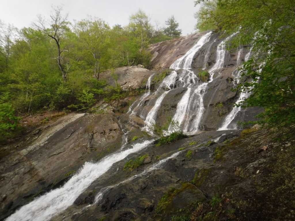
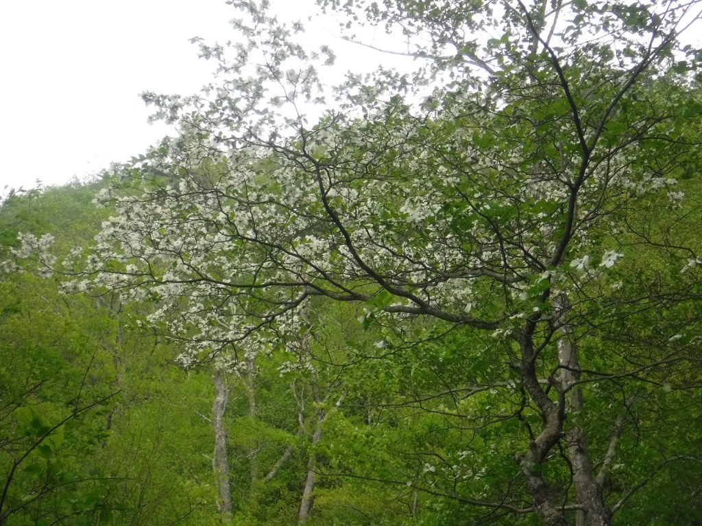
Crabtree Falls Trailhead is used by AT thru-hikersCrabtree FallsWaiting out the rain on Crabtree Falls TrailAzalea bloomsCrabtree FallsCrabtree FallsFlowering dogwoodCrabtree FallsWoodstock TowerScott’s mother at Woodstock TowerView from Woodstock TowerLooking down from Woodstock Tower
tulip-poplar, American beech, shagbark hickory, white oak, black oak, northern red oak, rock chestnut oak, pin oak, yellow birch, gray birch, sweet birch, striped maple, red maple, black gum, sassafras, basswood, flowering dogwood, sourwood, cucumber magnolia, mountain laurel, quaking aspen, paper birch, witch hazel, dwarf willow, winterberry, rhododendron
Explore More – In 1972, what company sponsored the planting of the National Children’s Forest in a burned-out area east of Jordan Mines?
Learn more about this and the 154 other National Forests in our new guidebook Out in the Woods
We are a participant in the Amazon Services LLC Associates Program, an affiliate advertising program designed to provide a means for us to earn fees by linking to Amazon.com and affiliated sites.
Start your U.S. National Parks, National Forests, and National Monuments adventure here!