Tag Archives: museum

Devils Tower National Monument

Wyoming

Managed by National Park Service

Established 1906

1,347 acres

Website: nps.gov/deto

Overview

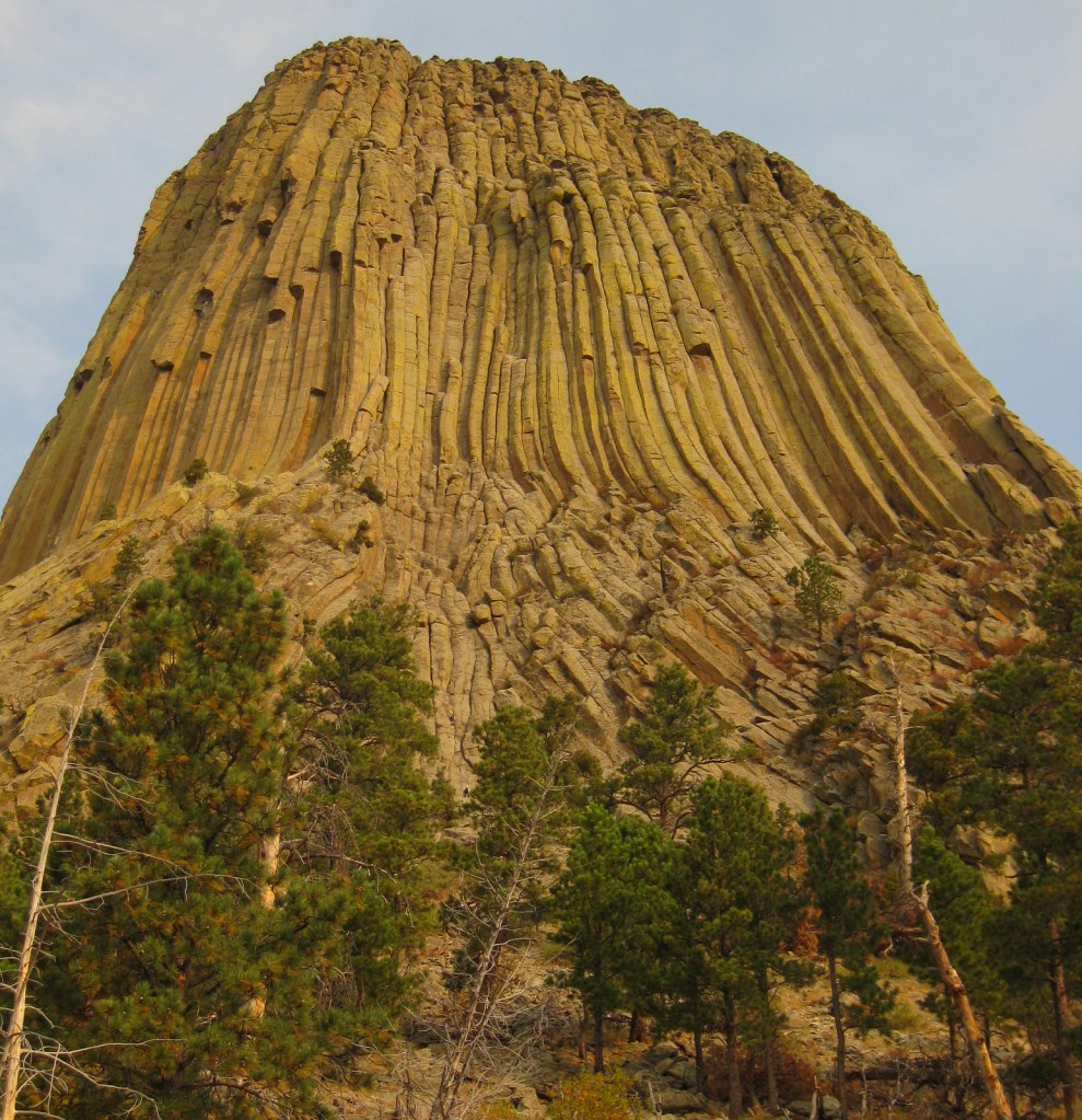
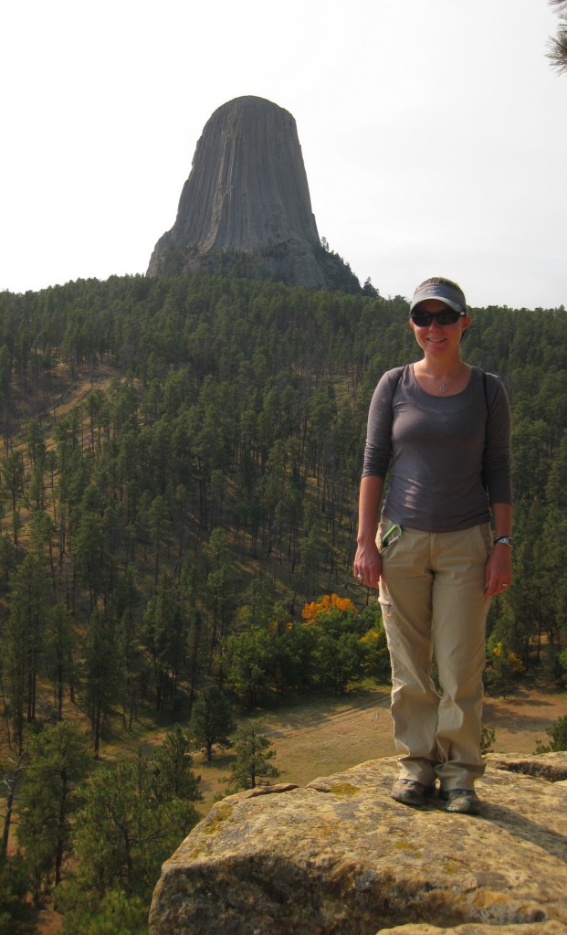
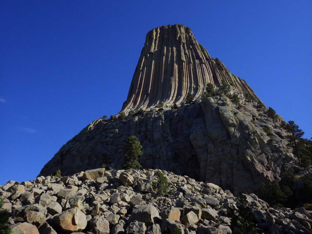
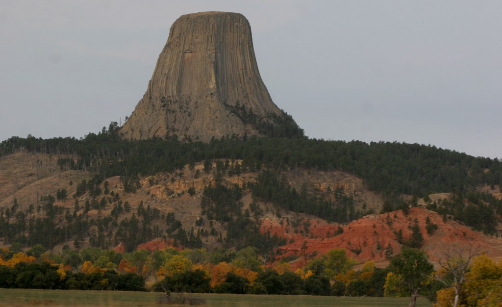
Devils Tower was named the United States’ first National Monument by President Teddy Roosevelt in 1906.  Legend has it that its deep stripes were made by the tearing claws of a giant bear attempting to climb after seven girls who were saved when the rock grew from three feet high to its current 867 feet.  You can see the girls today as the constellation Pleiades.  The bear came to rest in Bear Butte State Park in South Dakota.

Know someone who loves the National Monuments? Gift them our travel guidebook Monumental America: Your Guide to All 138 National Monuments that is available for sale on Amazon.com.
Highlights

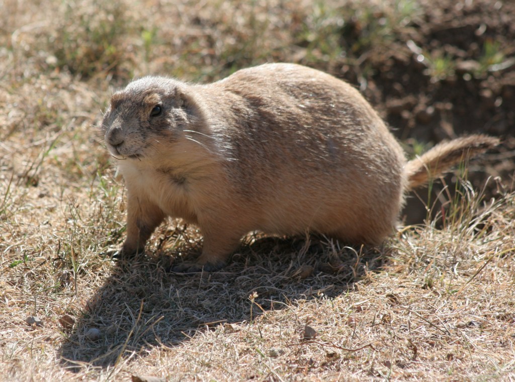
Tower Trail, Joyner Ridge Trail, Prairie Dog Town

Must-Do Activity

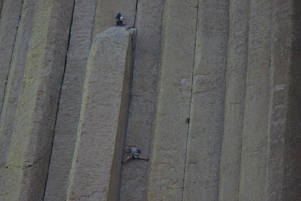
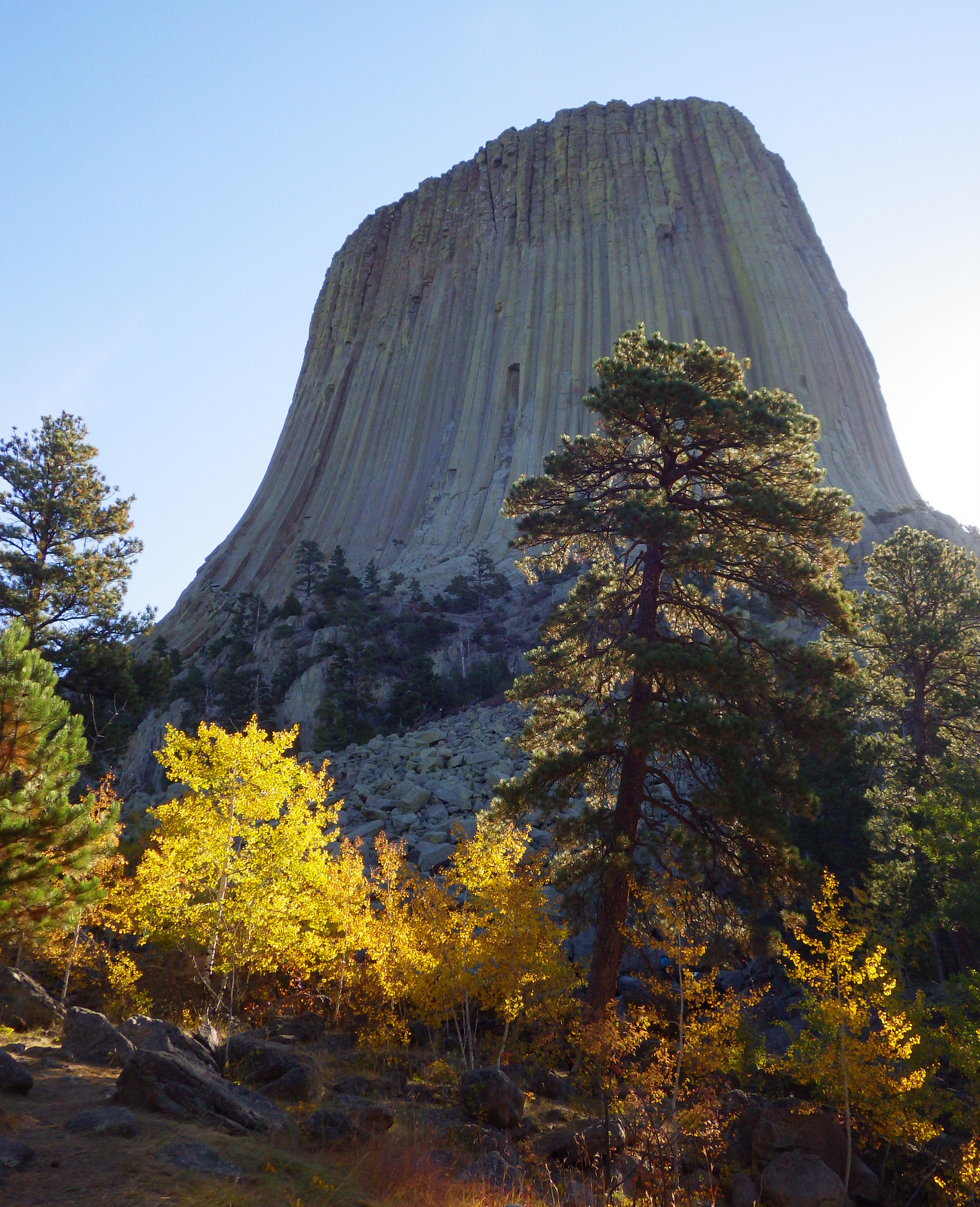
Devils Tower is a distinctive 50-million-year-old volcanic plug, whose steep sides have been an irresistible challenge to rock climbers for years.  Watch for them as you complete the 1.3-mile loop trail around the entire tower, as it looks different from every angle.  Also look for the colorful prayer cloths left by Native Americans, many of whom would prefer this sacred site be renamed Bear Lodge National Monument.

Best Trail

Joyner Ridge Trail provides a unique view of the tower and forms a 1.5-mile loop or connects to the longer Red Beds Trail that circumnavigates it.

Instagram-worthy Photo

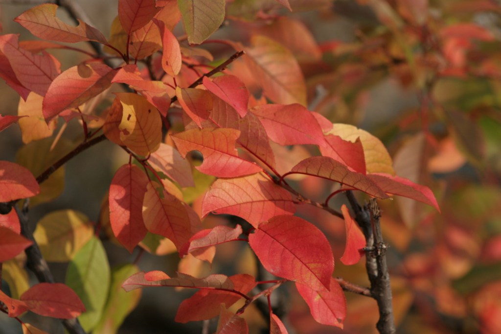
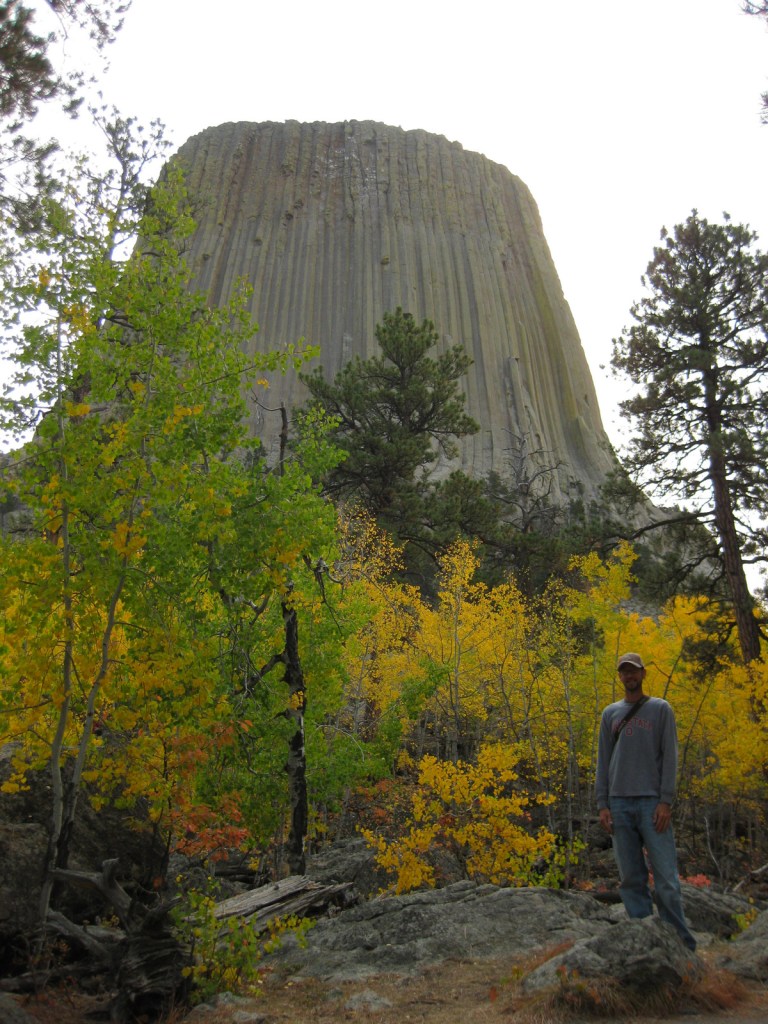
Visit in late September for fall foliage: golden quaking aspens and red chokecherry bushes.
Peak Season

Summer

Hours

https://www.nps.gov/deto/planyourvisit/hours.htm

Fees

$25 per vehicle or America The Beautiful pass

Road Conditions

Long vehicles must park just below the visitor center and hike a short ways up.  The short West Road to Joyner Ridge Trailhead is a good dirt road.

Camping

On the prairie below Devils Tower, a 50-site campground is located within a grove of cottonwood trees, with running water available May through October.  A private campground with RV hookups is located near the park entrance. Dispersed camping is possible in parts of Black Hills National Forest, but be careful to avoid private inholdings.

Related Sites

Yellowstone National Park (Wyoming-Montana-Idaho)

Black Hills National Forest (South Dakota-Wyoming)

Fossil Butte National Monument (Wyoming)

Grand Teton National Park (Wyoming)

Nearest National Park
Wind Cave

Explore More – How is park connected with the classic 1978 film Close Encounters of the Third Kind?

Learn more about the other 137 National Monuments in our book Monumental America: Your Guide to All 138 National Monuments

Sleeping Bear Dunes National Lakeshore

Overview

There are currently three National Lakeshores in the National Park Service system, and Sleeping Bear Dunes National Lakeshore is one of two in Michigan.  It encompasses 31 miles of mainland shoreline and 34 more miles on two large islands that give the park its name.  The park receives over a million visitors annually and is known for its fishing and canoeing.
Highlights

Dune Climb, Pierce Stocking Scenic Drive, Glen Haven Village Historic District, 1871 South Manitou Island Lighthouse

Must-Do Activity

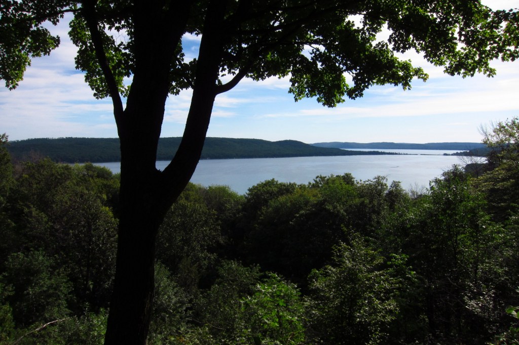
Much of this National Lakeshore is forested and surrounds several small townships (marked “Twp” on many maps).  For a backcountry experience on the mainland, take the winding 7-mile Pierce Stocking Scenic Drive that becomes a cross-country ski trail in winter.  Trails and overlooks provide stops along the route, which is not recommended for long vehicles or trailers.

Best Trail

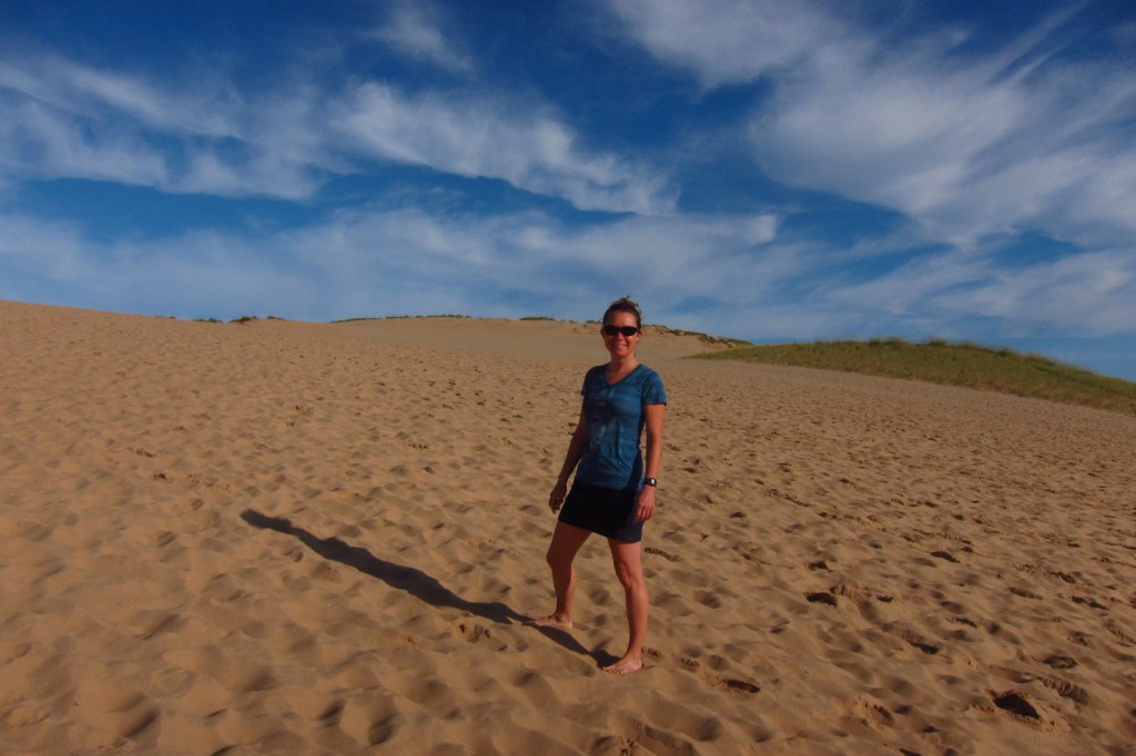
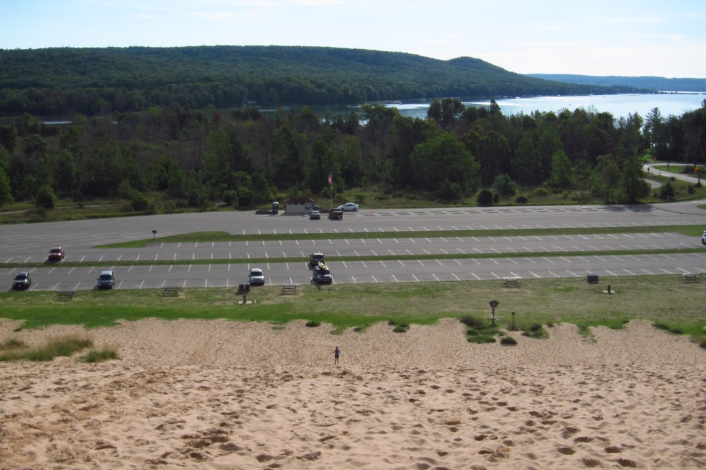
Dune Climb is more than 100 feet tall and the best place to play in the sand.  This is a perched dune where sand accumulated atop glacial moraines left from the last ice age.  From the top there are great views and you can continue on several other trails.

Instagram-worthy Photo

Glen Haven Village Historic District maintains a former general store, blacksmithy, and cannery, which now contains a museum dedicated to small watercraft.  The Sleeping Bear Point Coast Guard Station Maritime Museum is open Memorial Day to Labor Day.

Peak Season

Summer

Hours

https://www.nps.gov/slbe/planyourvisit/hours.htm

Fees

$25 per vehicle or America The Beautiful pass

Road Conditions

The main roads are paved, but some beach access is only by dirt road.  Ferries in the summer leave from Leland, Michigan to either North or South Manitou Islands where there are no roads.  Unless you are doing a day trip, camping permits are required before departure.

Camping

Platte River Campground is open year round and takes reservations.  Backpackers can enjoy more than 100 miles of trails, including some on the two wilderness islands.  Backcountry camping requires a permit.

Explore More – What were they canning at the old cannery in Glen Haven Village Historic District?

Cabrillo National Monument

Overview

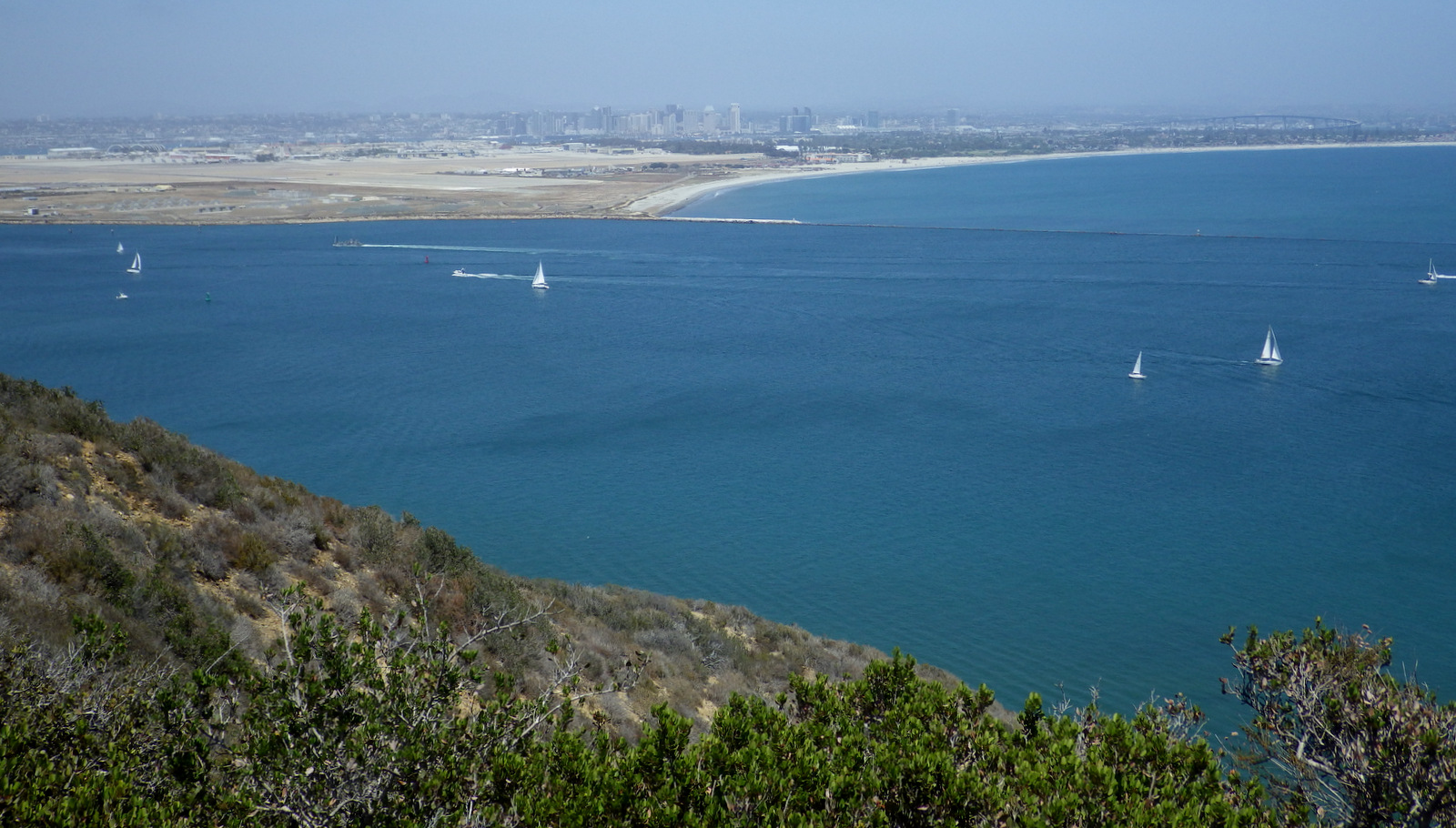
Cabrillo National Monument is named for a Spanish explorer that sailed the California coastline in 1542 before mysteriously dying in the Channel Islands.  Located on Point Loma peninsula west of San Diego Bay, the steep cliffs offer great overlooks of Coronado Island and the city beyond. 

Highlights

Cabrillo statue, 1854 Old Point Loma Lighthouse, tidepools

Must-Do Activity

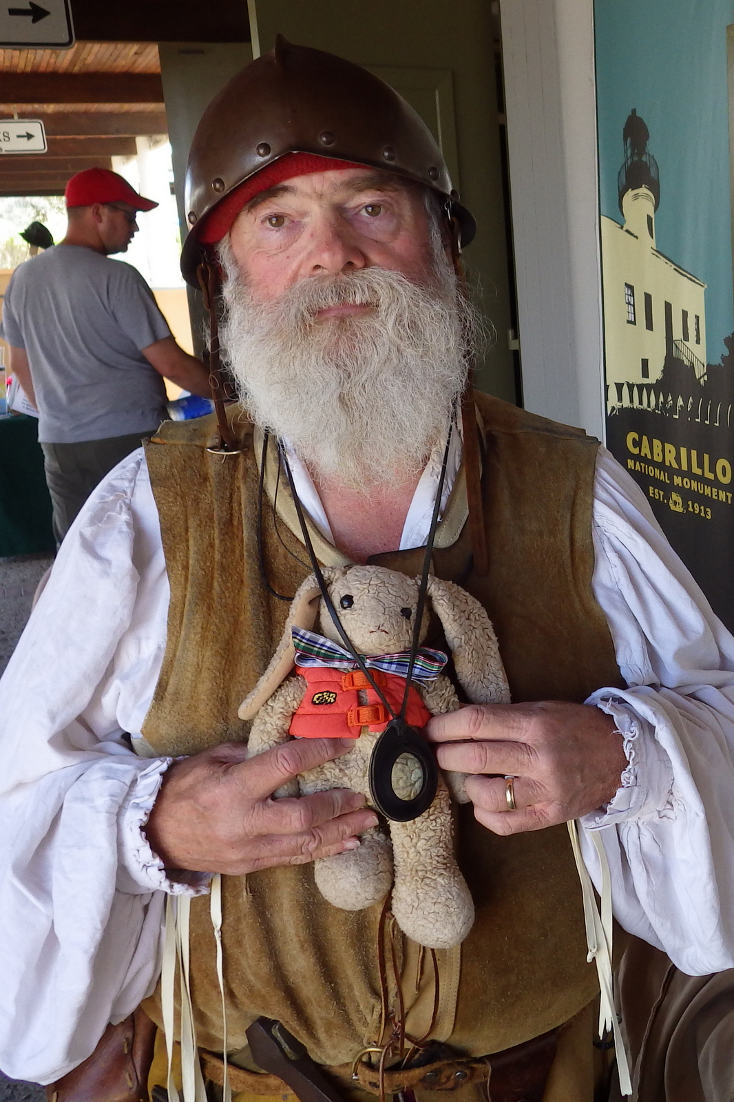
To find out more about the history of Spanish exploration in this region, check out the museum and talk to one of the costumed actors (it is southern California after all).  The national monument is a great place to imagine life at the Old Point Loma Lighthouse or learn the military past of the strategic defense post Fort Rosecrans. 

Best Trail

Follow the road downhill to the Pacific Ocean side of the peninsula to a great spot to explore tidepools.  Watch for migrating gray whales in the winter and the many unique bird species that migrate up and down the coast.  There is also the 2.5-mile roundtrip Bayside Trail.

Instagram-worthy Photo

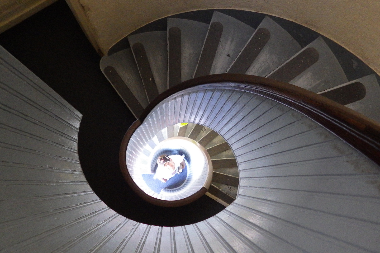
Old Point Loma Lighthouse was built in 1854, but due to that famous California coastal fog it was retired from service in 1891.  Climb its circular stairs for a unique photo that looks like the inside of a seashell.

Peak Season

Year round, but less likely to be foggy in the winter.

Hours

https://www.nps.gov/cabr/planyourvisit/hours.htm

Fees

$20 per vehicle or America The Beautiful pass

Road Conditions

All roads paved

Camping

Mission Trails Regional Park off Highway 52 and other private campgrounds are located nearby.

Explore More – You would expect that Spain purchased the statue of Cabrillo, but which country actually did?

Coronado National Memorial

Coronado National Memorial

Arizona

Managed by National Park Service

Established 1952

4,750 acres

Website: nps.gov/coro

Overview

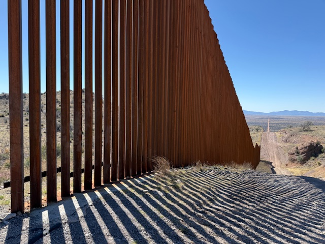
There was no international border in 1540, but this valley in southern Arizona is where Francisco Vasquez de Coronado’s expedition crossed into the U.S.A.  His Spanish army marched north in search of the Seven Cities of Cibola, discovering multiple pueblos (including Pecos) and establishing a route for missionaries to follow. 

Highlights

Coronado Cave, Montezuma Pass, Coronado Peak

Must-Do Activity

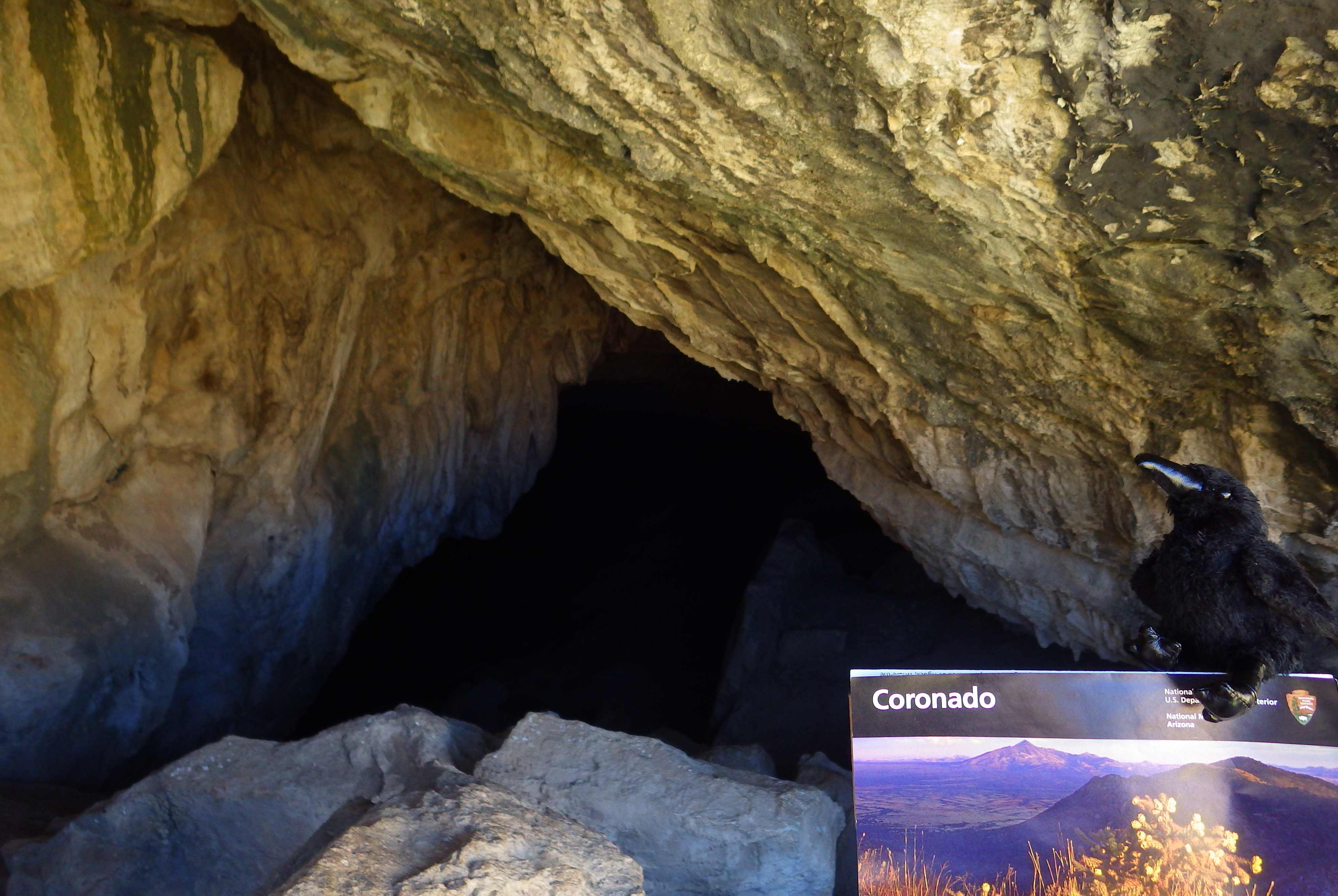
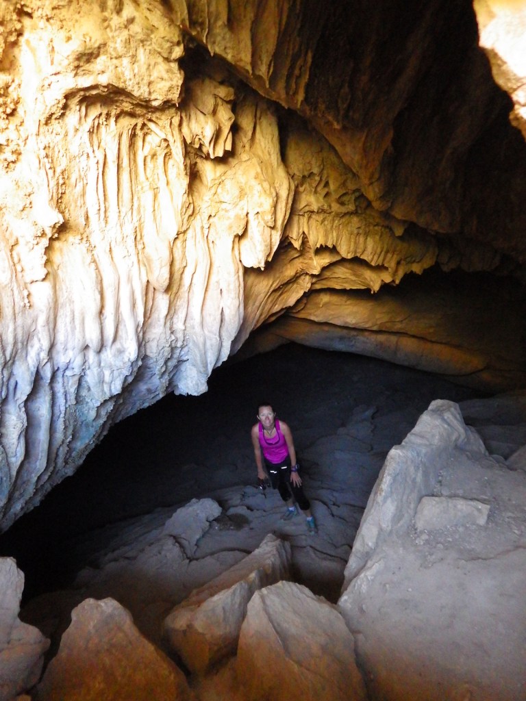
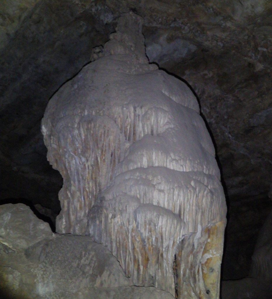
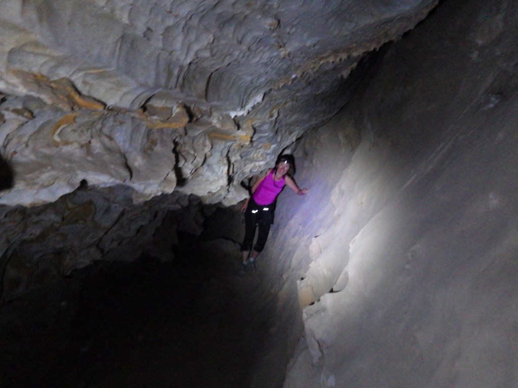
The park does not actually contain a statue or large memorial to Coronado.  It does have a steep three-quarter mile trail to a 600-foot long limestone cave bearing his name, which visitors can explore on their own with flashlights.

Best Trail

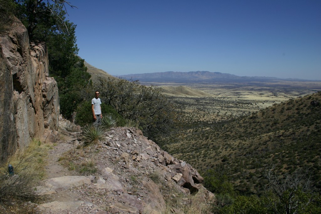
From the parking area at Montezuma Pass it is half a mile to Coronado Peak.  This “sky island” at 6,864 feet in elevation offers excellent views north towards the Huachuca Mountains in the surrounding Coronado National Forest and south into Mexico.  From there, Joe’s Canyon Trail leads 3 miles down to the visitor center and works great with a car shuttle. 

Instagram-worthy Photo

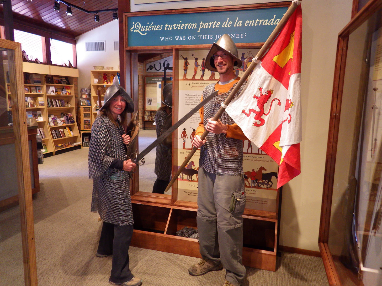
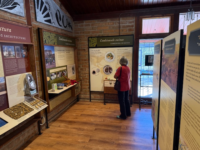
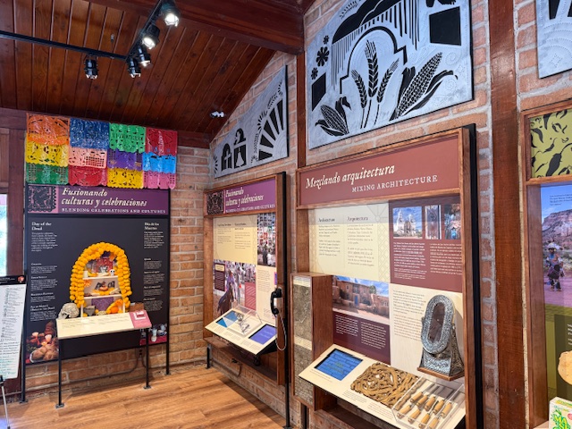
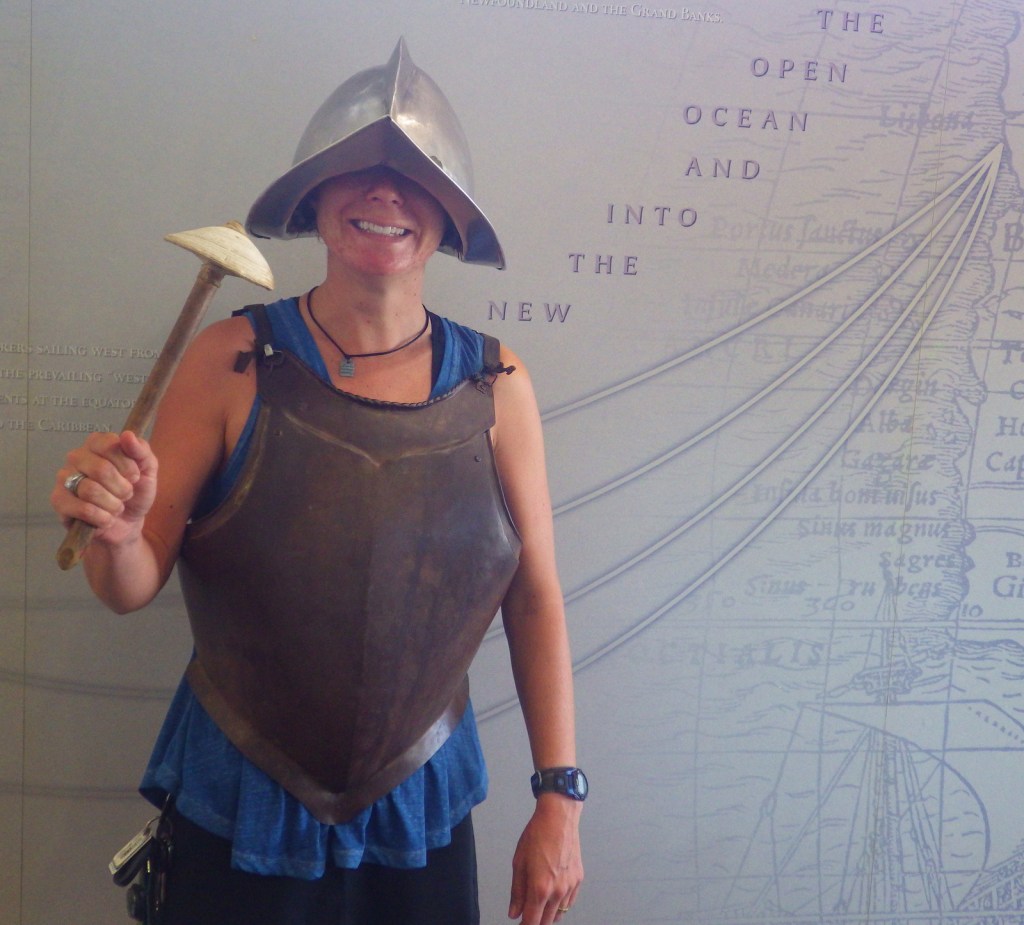
The small but educational visitor center provides information on trails, the history of the Coronado expedition, wildlife, and the “I Hike for Health” program.  Plus, you can dress up in replica Spanish Conquistador armor, which is very heavy.

Peak Season

Winter

Hours

https://www.nps.gov/coro/planyourvisit/hours.htm

Fees

None

Road Conditions

Paved to the visitor center and a good gravel road the final 2 miles up to Montezuma Pass.

Camping

Coronado National Forest surrounds the memorial’s 4,750 acres, offering both campgrounds and free dispersed camping.

Related Sites

Chiricahua National Monument (Arizona)

Fort Bowie National Historic Site (Arizona)

Coronado National Forest (Arizona)

Nearest National Park

Saguaro

Explore More – Disillusioned by not finding the Seven Cities of Cibola, in which present-day state did the Coronado expedition turn around in 1541?

De Soto National Memorial

Overview

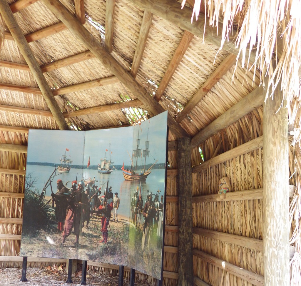
Why create a memorial to a genocidal Conquistador when he was not the first Spaniard to land in Florida?  Good question.  Juan Pónce de León and Pánfilo de Narváez had both already met their demise in this region, but that did not deter Hernando de Soto from trying again in 1539.  He did not die until three years later, after he led his soldiers all the way to the Mississippi River leaving a path of destruction in their wake.

Highlights

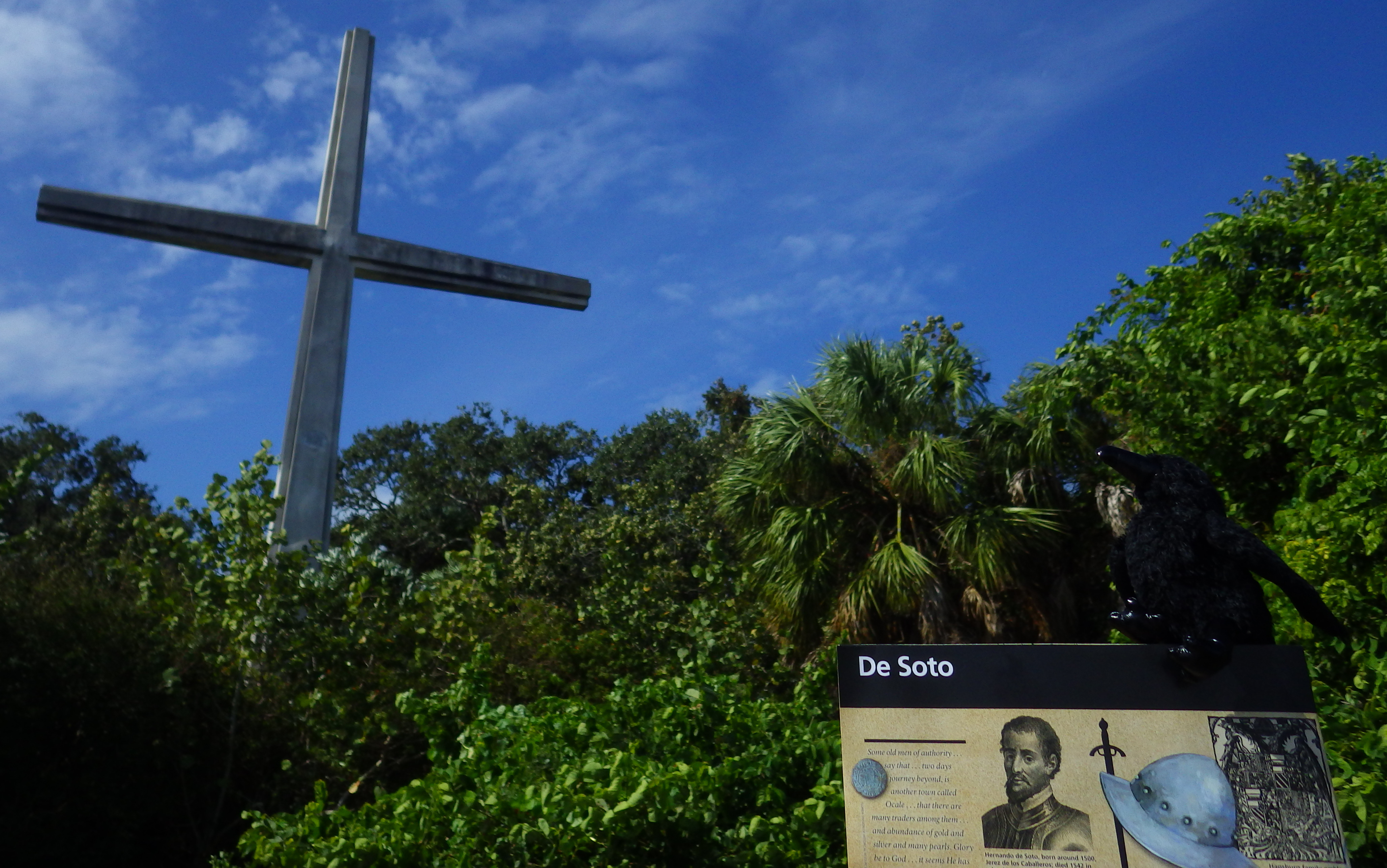
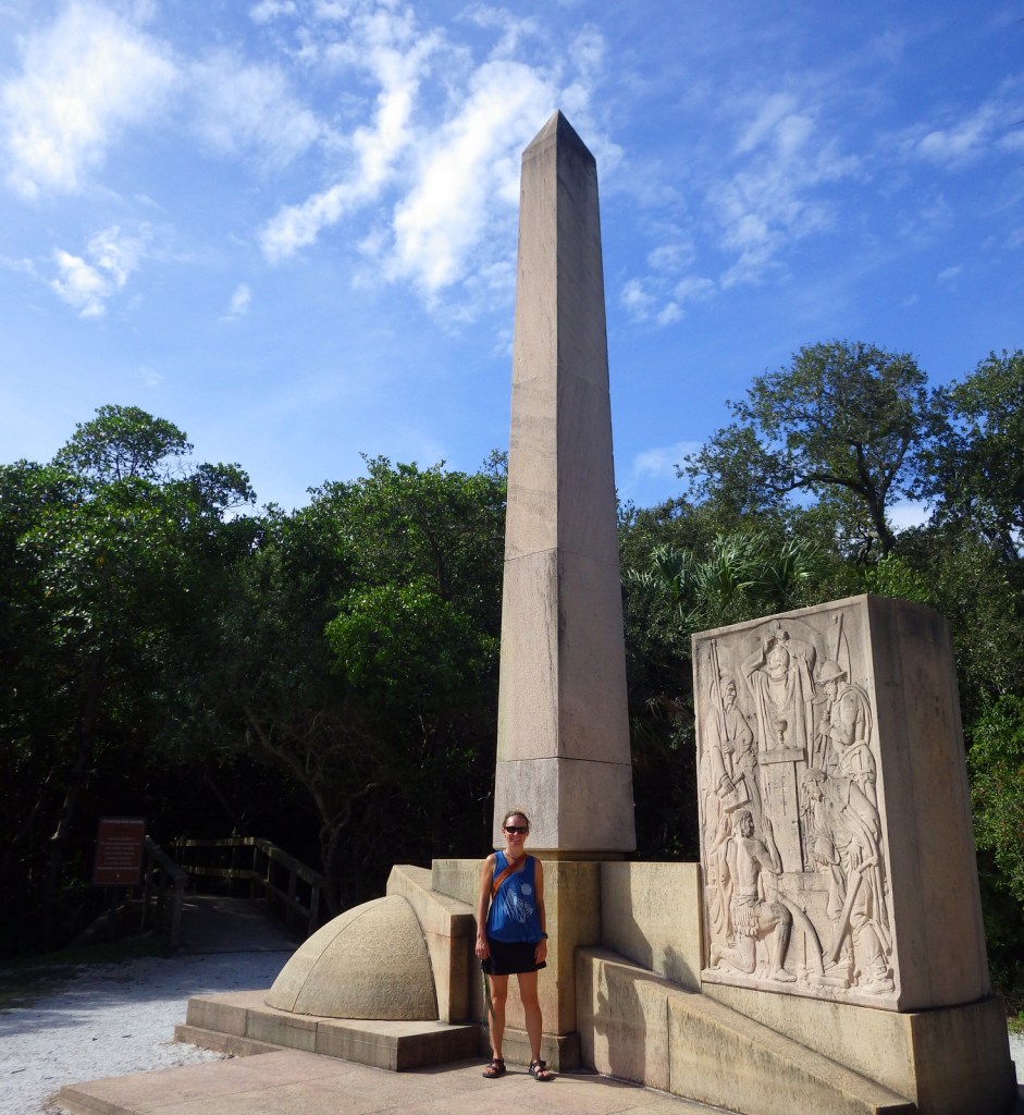
Camp Ucita, film, Memorial Trail, Holy Eucharist Monument

Must-Do Activity

De Soto made landfall in Florida somewhere in the vicinity of modern-day Bradenton, Florida where the Manatee River reaches Tampa Bay on the Gulf of Mexico.  He left behind 100 men there in Camp Ucita, a replica of which was built on the site of the 27-acre De Soto National Memorial.  In the winter (a.k.a. touristy) months, costumed interpreters work at the replica Camp Ucita.

Best Trail

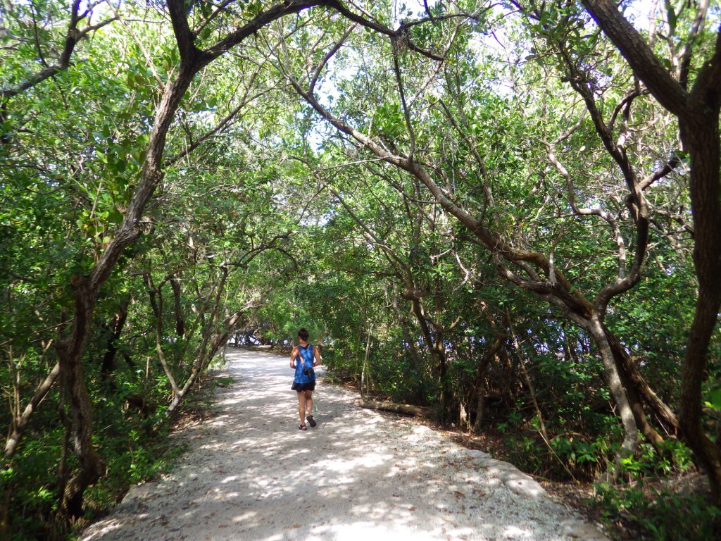
Hike the half-mile Memorial Trail through the mangroves to the Holy Eucharist Monument.  Then cool off in the air-conditioned visitor center to watch a 22-minute film on the Spanish expedition. 

Instagram-worthy Photo

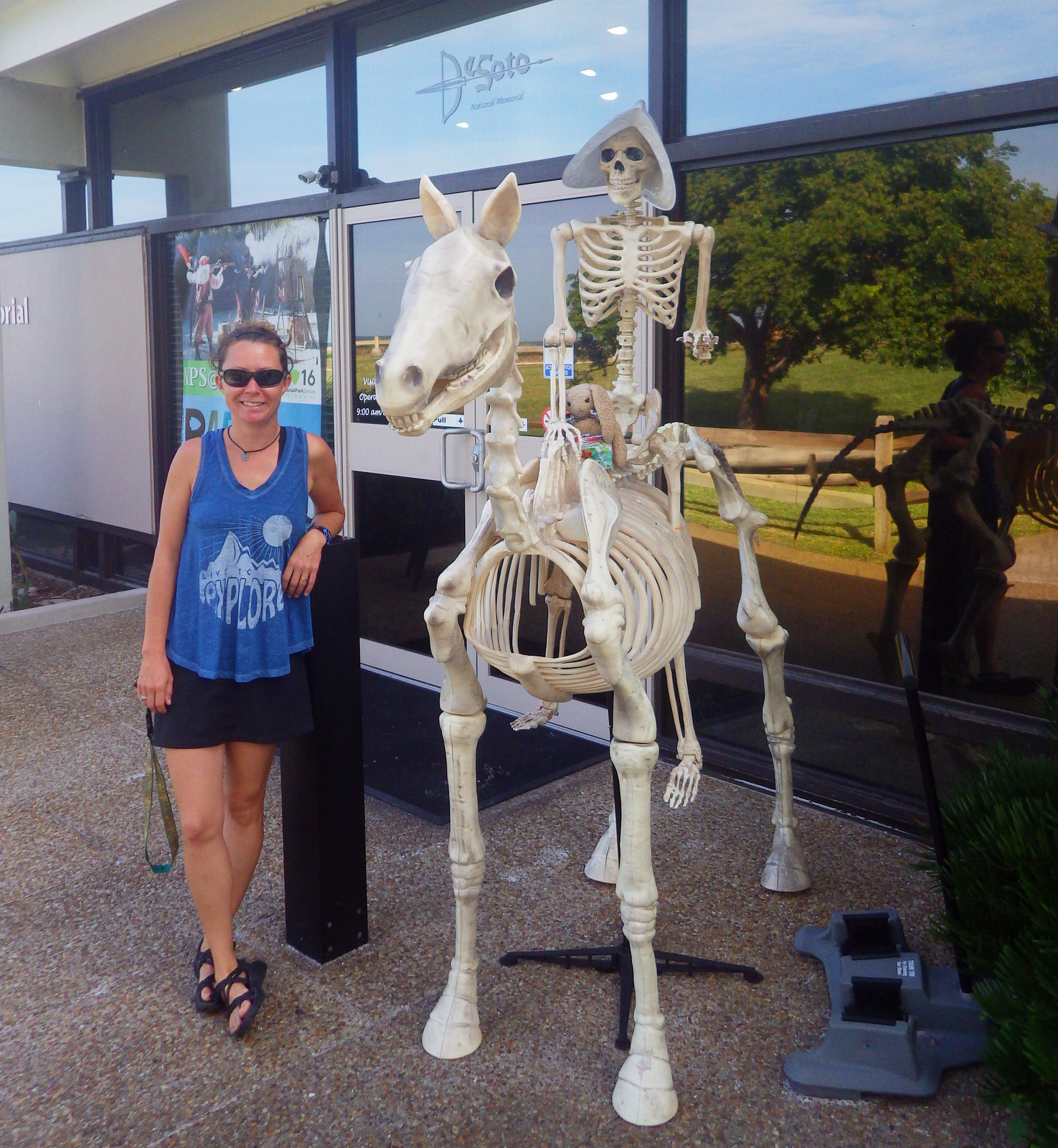
If you visit around Halloween, a scary skeleton Conquistador atop a skeleton horse will greet you at the entrance to the National Park Service visitor center.

Peak Season

Winter

Hours

https://www.nps.gov/deso/planyourvisit/hours.htm

Fees

None

Road Conditions

A paved road leads through a residential neighborhood to the visitor center, so watch out for dog walkers and joggers on the road and trail.

Camping

Myakka River State Park is southeast of Bradenton (where private campgrounds are also available).

Explore More – The Spaniards brought many diseases to the indigenous peoples, but the introduction of which domesticated animal had the longest lasting ecological impact?