Tag Archives: Michigan

Huron National Forest

Huron National Forest

Michigan

Managed by U.S. Forest Service, Eastern Region

694,056 acres (438,584 federal/ 255,472 other)

Website: https://www.fs.usda.gov/hmnf

Overview

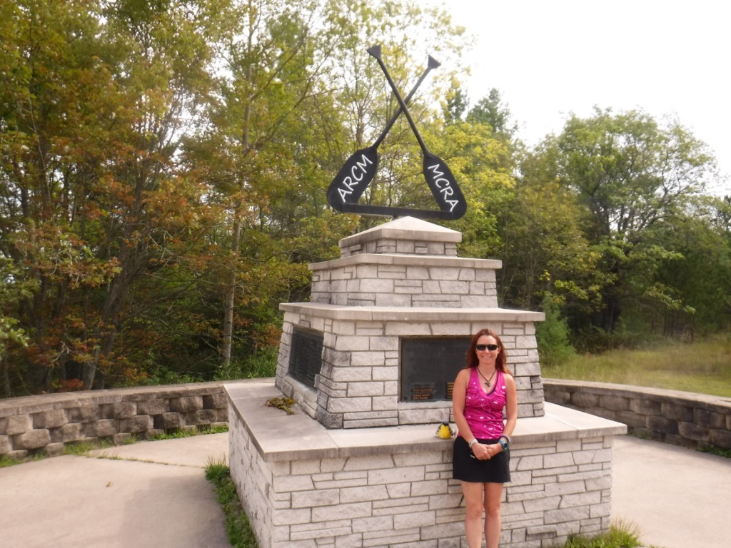
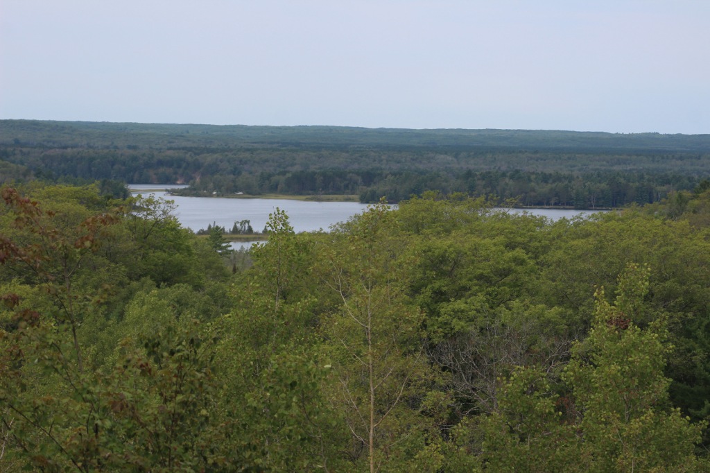
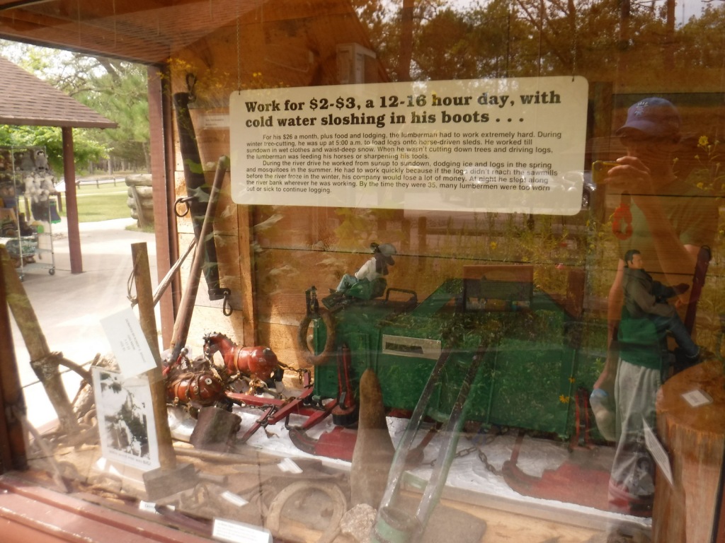
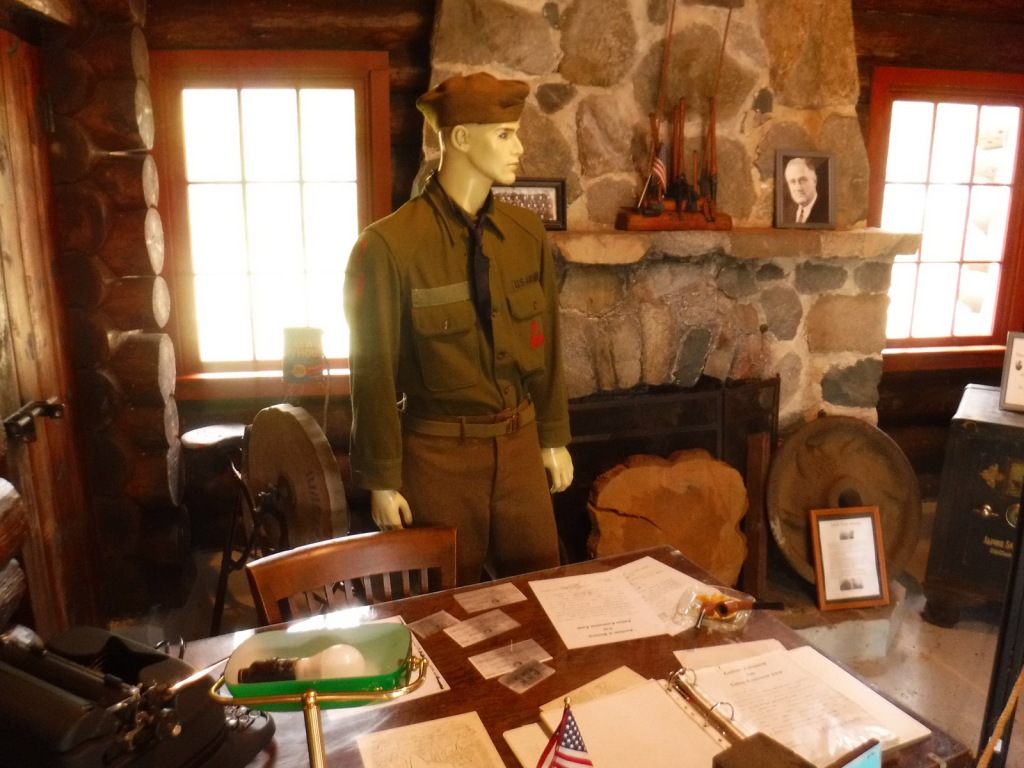
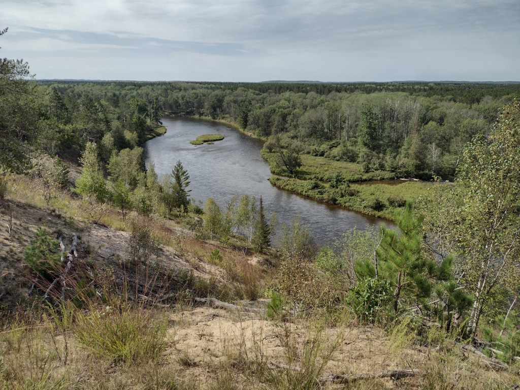
Huron National Forest occupies a strip of land in eastern Michigan that follows the Au Sable National Wild and Scenic River to near its confluence with Lake Huron.  The National Forest was established in 1909 after logging in the area went into decline.  In 1945, it was administratively combined with the Manistee National Forest, which is on the western side of the state.  Two years later, the first Au Sable River Canoe Marathon was held when 46 teams entered, but only 15 teams finished the 120-mile-long race.  Held annually the last weekend of July, thousands of spectators watch the event, but if you are not there then at least stop by the Canoer’s Memorial.  In the winter, snowmobiling and cross-country skiing are popular activities in Huron National Forest.
Highlights

River Road Scenic Byway, Lumberman’s Monument, Canoer’s Memorial, Iargo Springs Interpretive Site, Cooke Dam Pond, Tuttle Marsh, Bull Gap ORV Trail, Hoist Lakes Foot Travel Area, Highbanks Trail, Eagle Run Cross-Country Ski and Hiking Trail

Must-Do Activity

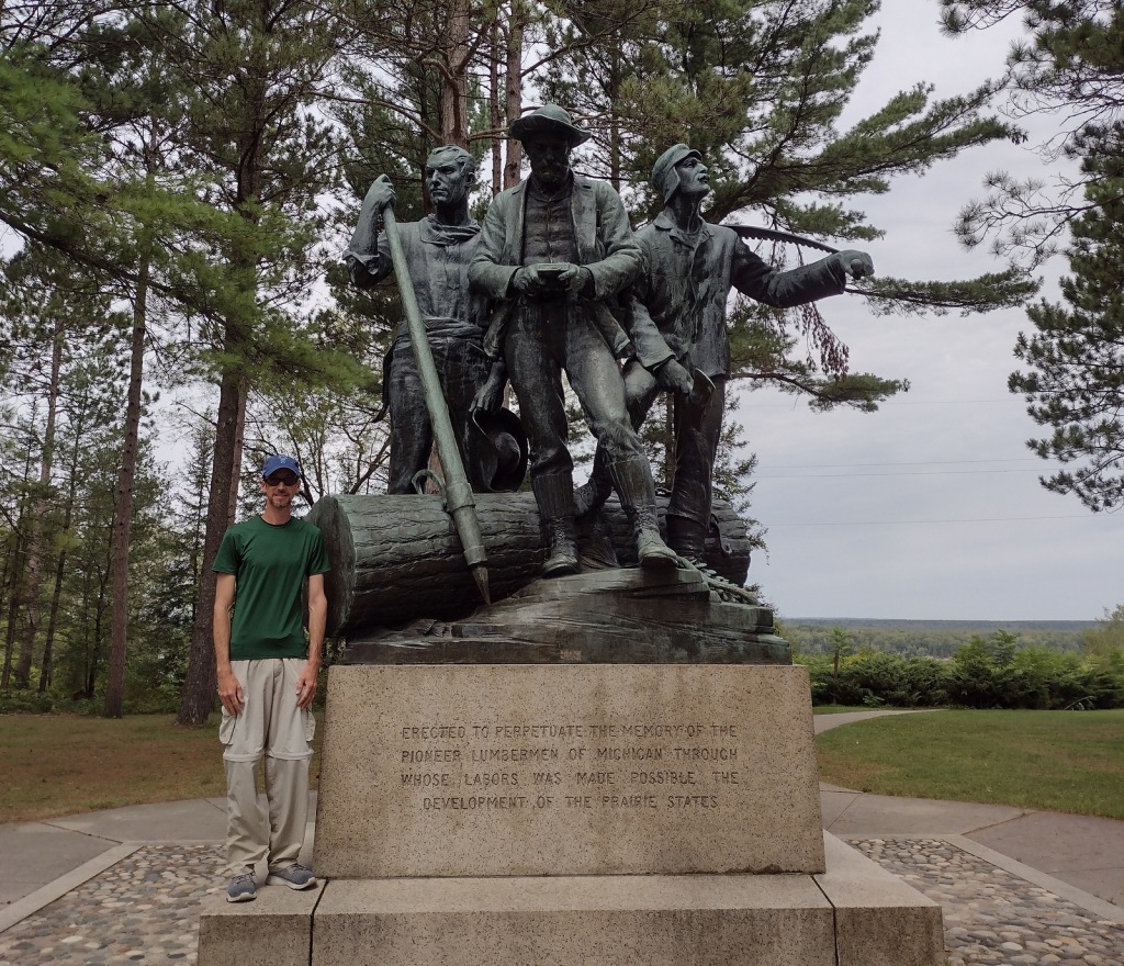
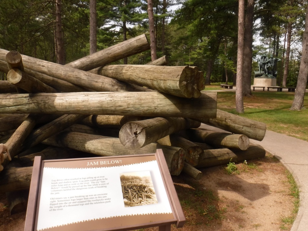
The 22-mile-long River Road Scenic Byway follows the Au Sable National Wild and Scenic River with 18 stops at memorials, overlooks, dams, ponds, trailheads, and campgrounds.  The National Forest’s most developed area surrounds the Lumberman’s Monument, a 14-foot bronze statue dedicated in 1932.  The site also has a museum, gift shop, interactive visitor activities, hiking trails, and a campground.  Three other popular stops along the River Road Scenic Byway are the Iargo Springs Interpretive Site, Kiwanis Monument, and Foote Pond Overlook where visitors might spot a bald eagle.

Best Trail

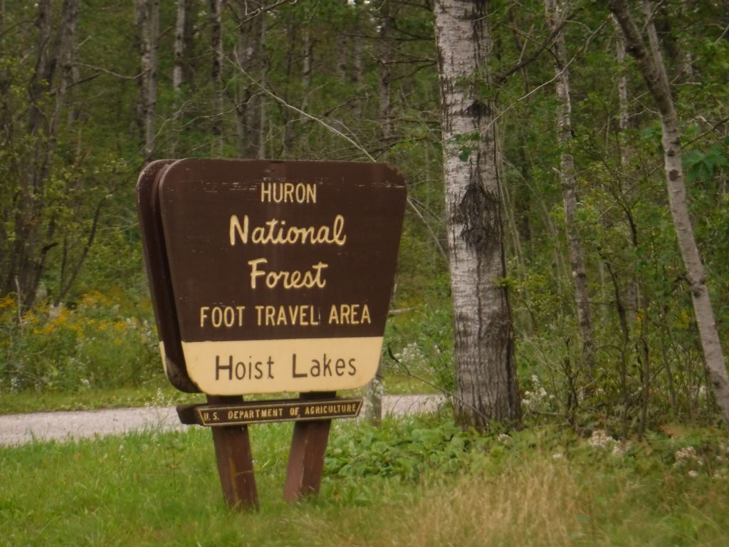
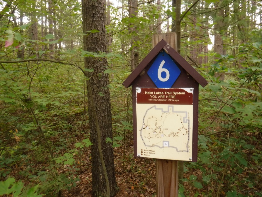
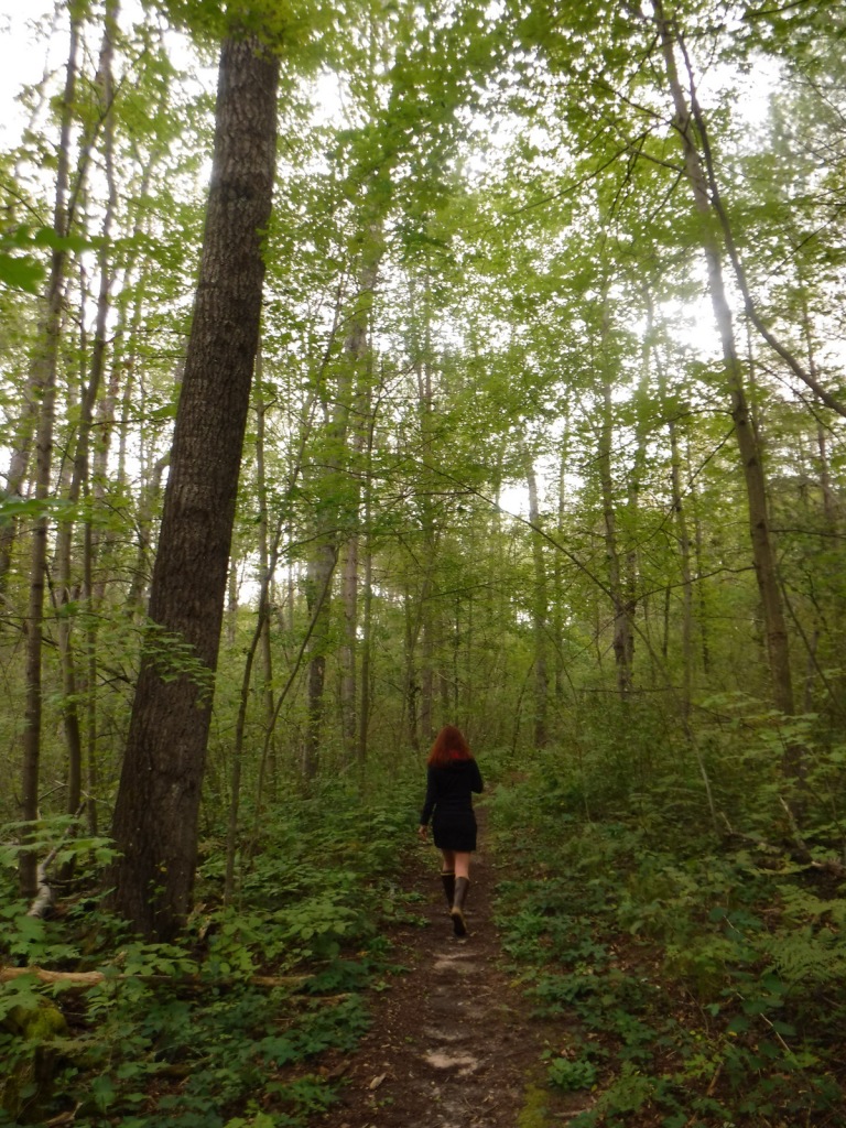
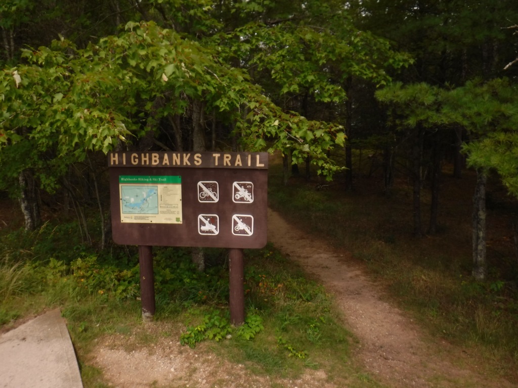
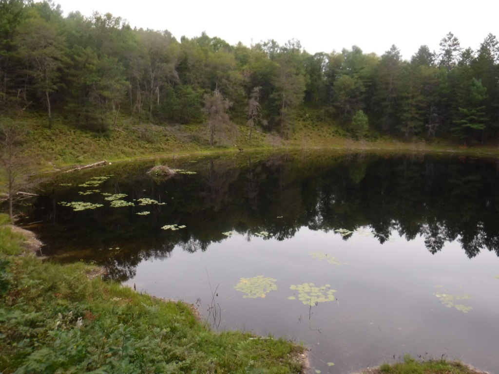
A day use fee is charged to park at the two entrances to Hoist Lakes Foot Travel Area in the northern part of Huron National Forest.  We started at the west entrance, just 1.8 sandy miles off paved Aspen Alley Road, and hiked a half-mile to Carp Lake, which had a large beaver hut in its center.  There are many loop options in this forest that is being managed for old-growth conditions, which makes it ideal for cross-country skiing. 

Watchable Wildlife

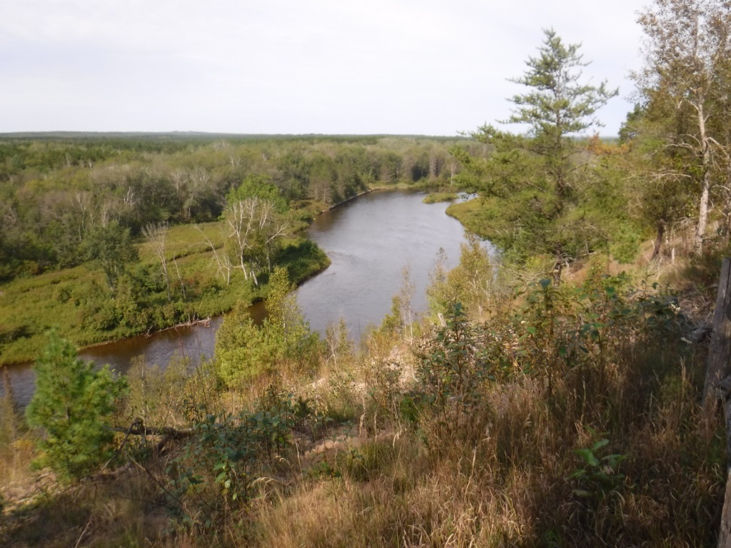
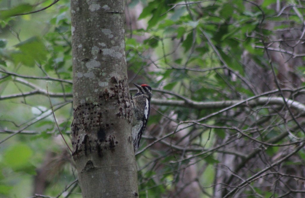
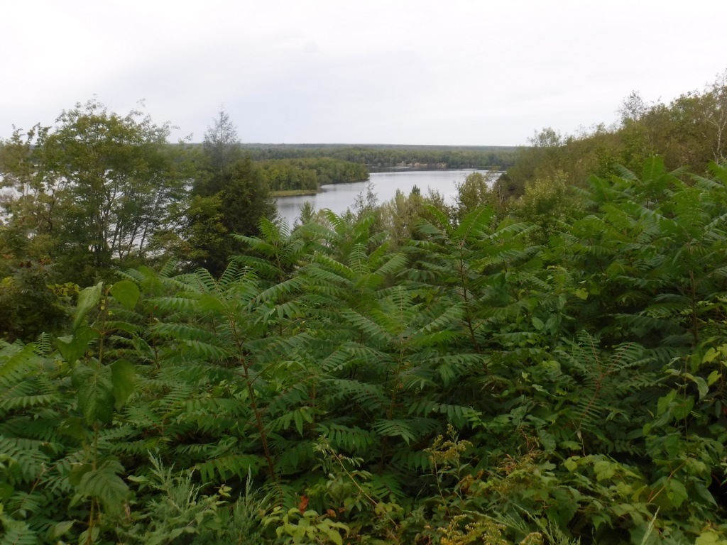
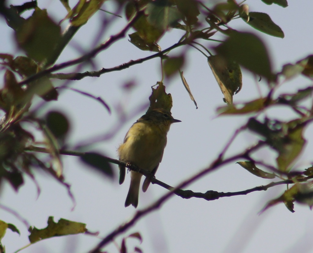
Huron National Forest manages its jack pine forests to provide summer nesting habitat for the formerly-endangered Kirtland’s warbler.  After being placed under protection of the Endangered Species Act when its population fell to 167 nesting pairs in 1974, it was delisted in 2019 after rebounding to 2,300 pairs.  Since dense, young stands of jack pine are unsuitable habitat, Kirtland’s warblers need old-growth forests, which are extremely susceptible to crown fires.  Other species prefer old-growth forests, too, like pileated woodpeckers, saw-whet owls, and pine martens.  We saw one of the rare Kirtland’s warblers at Au Sable Scenic River Highbanks Overlook, in addition to spotting a trumpeter swan, hairy woodpecker, raven, black squirrel, porcupine, and white-tailed deer.  The Au Sable River offers trout fishing for people and bald eagles.

Instagram-worthy Photo

We stopped at Au Sable Scenic River Highbanks Overlook and were able to photograph a Kirtland’s warbler.
Peak Season

Summer

Fees

A day use fee is charged to park at the two entrances to Hoist Lakes Foot Travel Area, or you can use the America the Beautiful pass.  Access to the Lumberman’s Monument is free.

Road Conditions

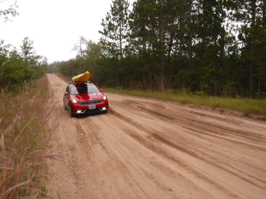
The unpaved roads are very sandy, but they were mostly flat without deep sand and easily drivable with a passenger vehicle in the summer.

Camping

There were signs prohibiting camping at the Hoist Lakes Foot Travel Area trailhead and Au Sable Scenic River Highbanks Overlook, and the dense forest offered no dispersed camping options that we noticed.  A developed campground is available at the Lumberman’s Monument, as well as at Algona Dam Pond, Loud Dam Pond, Cooke Dam Pond, and Foote Dam Pond.

Wilderness Areas

None

Related Sites

Hiawatha National Forest (Michigan)

Manistee National Forest (Michigan)

River Raisin National Battlefield Park (Michigan)

Nearest National Park
Isle Royale

Conifer Tree Species

jack pine, red pine, eastern white pine, eastern hemlock, balsam fir, eastern redcedar, northern white-cedar, tamarack

Flowering Tree Species

red maple, sugar maple, American elm, black ash, quaking aspen, paper birch, northern red oak, pin cherry, shadbush

Explore More – When the first 120-mile-long Au Sable River Canoe Marathon was held in 1947, who were the two paddlers that won with a time of 21 hours and 40 minutes?

Learn more about this and the 154 other National Forests in our new guidebook Out in the Woods

Isle Royale National Park

Isle Royale National Park

Michigan

Managed by National Park Service

Established 1940

571,790 acres

Website: nps.gov/isro

Overview

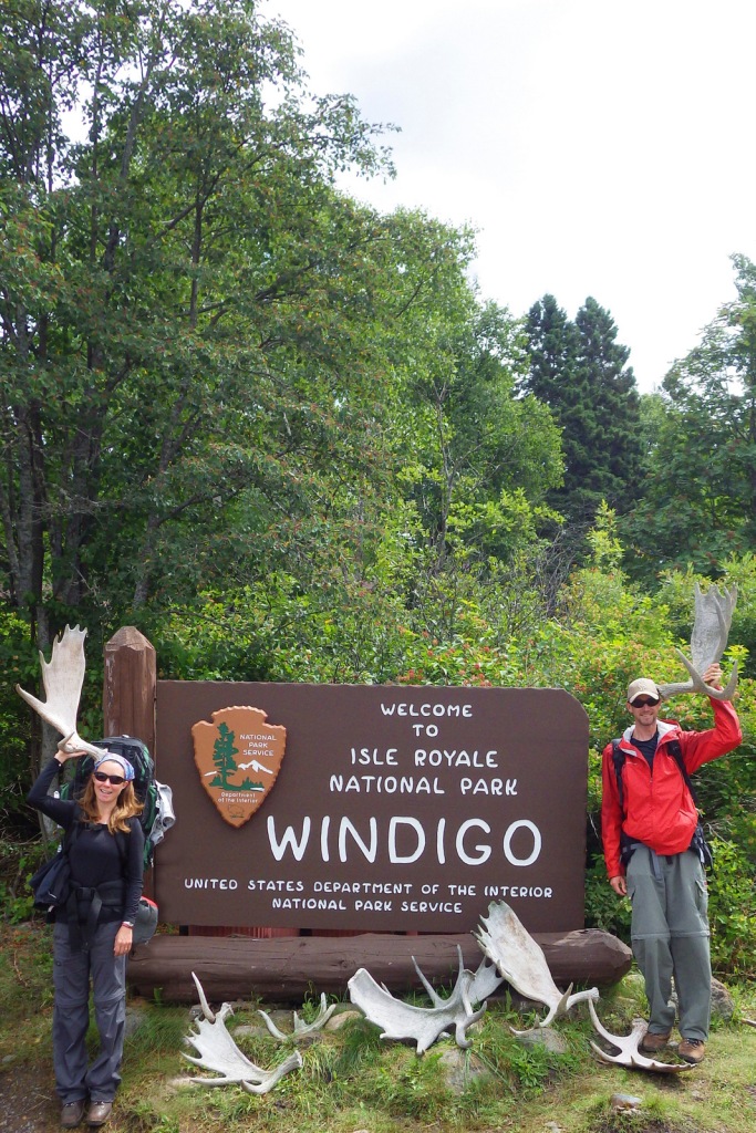
Surrounded by Lake Superior, Isle Royale is 45 miles long and nearer to Canada’s shores than it is to the rest of the United States.  Long ferry boat rides with short layovers make this a difficult National Park to see on a daytrip, so the average stay for visitors is 3.5 days.  The main access points are the ferry docks at Windigo in the west and Rock Harbor (which has a lodge) in the east. 

Learn more in the expanded 2nd edition of our guidebook to the National Parks— A Park to Yourself: Finding Solitude in America’s 63 National Parks.

Highlights

Rock Harbor, Suzy’s Cave, Scoville Point, Windigo, Minong Ridge Trail, Greenstone Ridge Trail

Must-Do Activity

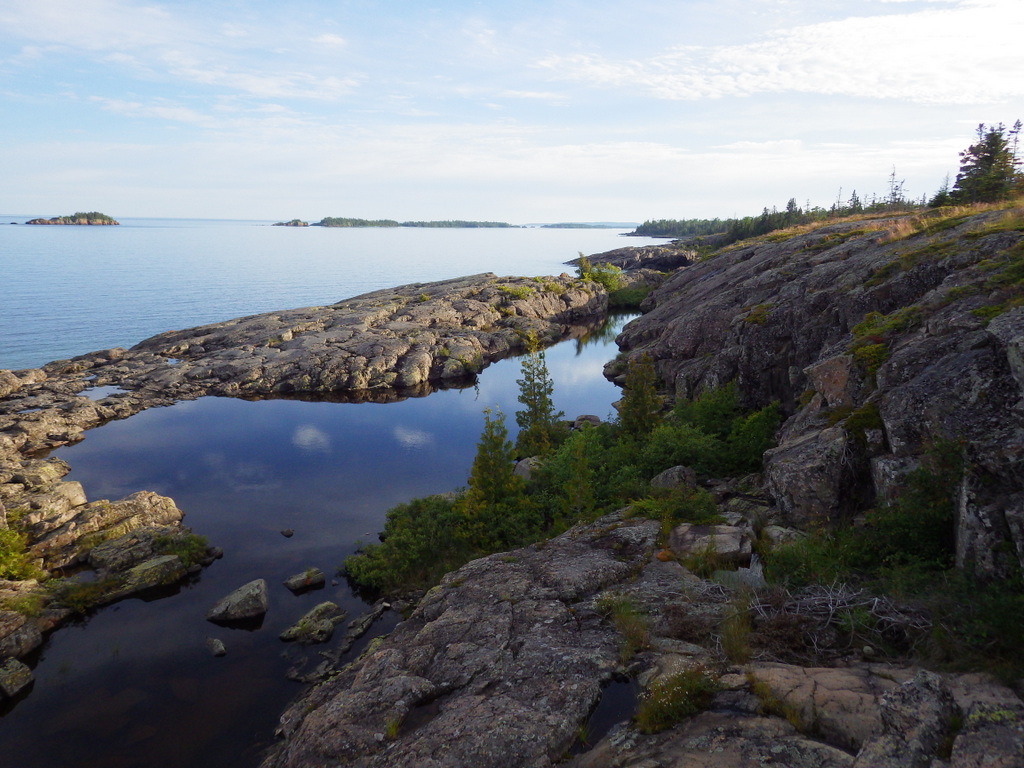
Hiking is the main activity at Rock Harbor and popular destinations include Scoville Point (5 miles roundtrip), 1,080-foot tall Mount Franklin (4 miles), and a water-carved arch called Suzy’s Cave (4 miles).  From June to early-September, boat tours leave from the the marina to visit Rock Harbor Lighthouse, Edisen Fishery, Raspberry Island, Hidden Lake Trailhead, and Passage Island Lighthouse.  Kayak and canoe rentals are also available at Rock Harbor Marina.

Best Trail

Since 99% of the park is designated Wilderness, backpacking is the best way to experience Isle Royale (but come prepared for biting insects).  There are 34 backcountry campsites spread across the 165 miles of trail, but not right along the 42-mile Greenstone Ridge Trail that follows the island’s backbone west to east.

Instagram-worthy Photo

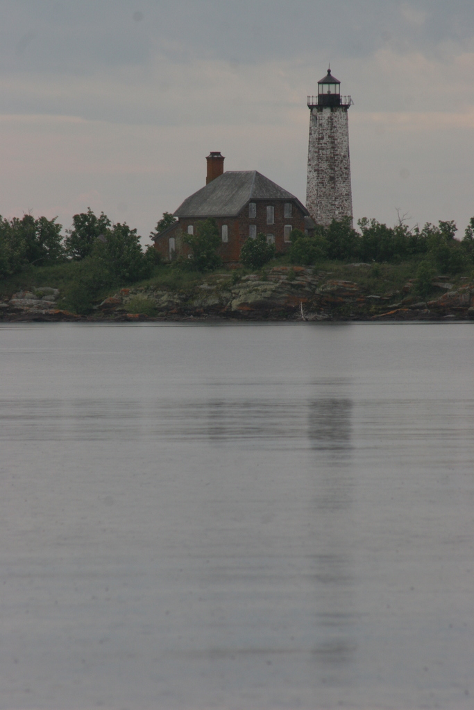
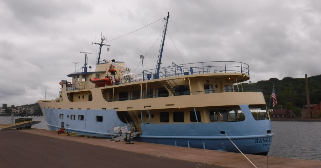
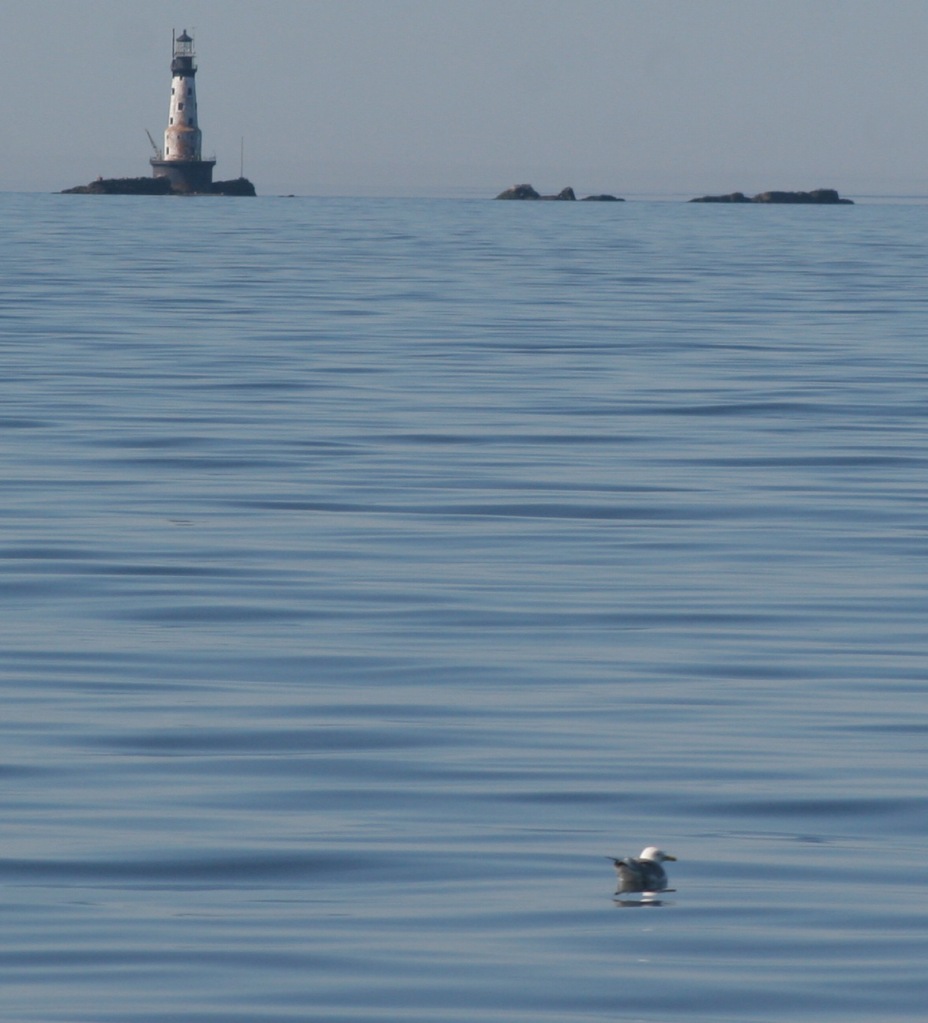
There are four lighthouses surrounding Isle Royale and two of them are visited by boat tours.  We circumnavigated the entire island on a ferry boat and our favorite was the red-brick Isle Royale Lighthouse on Menagerie Island.

Peak Season

Summer

Hours

Despite the fact that it is closer to Minnesota (Central Time Zone), Isle Royale is part of Michigan and therefore in the Eastern Time Zone. 

https://www.nps.gov/isro/planyourvisit/hours.htm

Fees

$7 per person, per day or America the Beautiful pass

Road Conditions

There are no roads on Isle Royale, which is only accessible by boat and floatplane.  Ferries run in the summer months from Grand Portage, Minnesota and Copper Harbor and Houghton, Michigan.

Camping

There are nine screened-in shelters and eleven tent sites right at Rock Harbor, but camping there is limited to one night only to accommodate backpackers.  Washington Harbor Campground is located at Windigo and allows up to a three-night stay, but the other 34 campsites require a backpacking permit (available at Rock Harbor, Windigo, and aboard the ferry boats from Michigan).  Advanced reservations are only accepted for groups of more than six people, so plans must be flexible since there are limits to the number of campers per site.

Related Sites

Grand Island National Recreation Area (Michigan)

Pictured Rocks National Lakeshore (Michigan)

Grand Portage National Monument (Minnesota)

Keweenaw National Historical Park (Michigan)

Explore More – After depleting mines on the Keweenaw Peninsula, companies were eyeing Isle Royale’s deposits of what metal when it first gained federal protection in 1931?

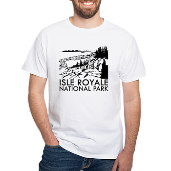
This design we created to celebrate Isle Royale National Park is available on a variety of products at Cafe Press and Amazon.

Hiawatha National Forest

Hiawatha National Forest

Michigan

Managed by U.S. Forest Service, Eastern Region

1,294,645 acres (894,836 federal/ 399,809 other)

Website: https://www.fs.usda.gov/hiawatha

Overview

Hiawatha National Forest is separated into two sections on the Upper Peninsula of Michigan, both of which touch Lake Superior and Lake Michigan.  The East Unit also fronts Lake Huron, and includes scenic Round Island Lighthouse near Mackinac Island, as well as beautiful Point Iroquois Light Station.  Most of these sandy soils in the East Unit were never homesteaded, so they were easily designated Marquette National Forest by President Theodore Roosevelt in 1909.  Land purchases for the West Unit began in 1928, and were later replanted by the Civilian Conservation Corps (CCC).  The West Unit includes 13,500-acre Grand Island National Recreation Area (see our blog post) in Lake Superior, a popular destination for camping, biking, and kayaking at the western edge of Pictured Rocks National Lakeshore.

Highlights

Grand Island National Recreation Area, St. Helena Island National Scenic Area, Whitefish Bay Scenic Byway, Point Iroquois Light Station, Scott Falls, Diamond Hill Lookout, Porcupine Nature Trail, Haymeadow Falls Trail, Naomikong Point Blue Trail, North Country National Scenic Trail

Must-Do Activity

Several lighthouses are located along the shores of the Great Lakes, including the picturesque Round Island Lighthouse near touristy Mackinac Island, Point Iroquois Light Station (see Instagram-worthy Photo) on the Whitefish Bay Scenic Byway, and one on private land near Wick Point within Grand Island National Recreation Area (see our blog post).  Further to the west Highway M-28 follows the shores of Lake Superior, where a Wayside Park at the east side of AuTrain Bay provides parking for those wishing to carefully cross the road to see ten-foot-tall Scott Falls.

Best Trail

Foley Creek Day Use Area is located just off Interstate 75 at a large pullout along paved Mackinac Trail Road.  A hike starts at the north end of a former campground, and soon the sound of the freeway is dispersed by the trees as you enter the small Horseshoe Bay Wilderness.  The trail has boardwalks across the wettest spots and after 1.4 miles opens up to a secluded sandy beach on Lake Huron with views of Mackinac Island.  Naomikong Point Blue Trail is a popular 3.4-mile out-and-back trail that connects with the North Country National Scenic Trail, crossing Naomikong Creek on a suspension bridge then ending at Menekaunee Point on Naomikong Island.

Watchable Wildlife

These forests are home to gray wolves, black bears, bobcats, Canada lynx, mountain lions, red foxes, coyotes, striped skunks, weasels, minks, river otters, porcupines, beavers, muskrats, snowshoe hares, white-tailed deer, and moose.  Large birds found here include wild turkeys, spruce grouse, ruffed grouse, golden eagles, bald eagles, ospreys, great blue herons, sandhill cranes, and trumpeter swans.  Hiawatha National Forest has more than 100 miles of shoreline on three Great Lakes, offering fishing for walleye, northern pike, muskies, Atlantic salmon, and steelhead trout.  In addition, there are 75 inland lakes and 600 miles of streams, including five National Wild and Scenic Rivers: Carp River, Indian River, Sturgeon River, Tahquamenon River (East Branch), and Whitefish River.  The 0.9-mile Haymeadow Falls Trail loop partially follows a productive trout stream.

Instagram-worthy Photo

Located on the Whitefish Bay Scenic Byway, the iconic 65-foot Point Iroquois Light Station stands on the shores of Lake Superior at the mouth of St. Mary’s River.  The first lighthouse and residence were built here in 1855, and the current buildings were placed on the National Register of Historic Places in 1975.  When not under construction, you can pay to enter the museum and climb the spiral staircase to the top of the tower.

Peak Season

Summer

Fees

None

Road Conditions

Whitefish Bay Scenic Byway is fully paved, and we found the unpaved roads to Hovey Lake Campground to be in good enough shape for our passenger vehicle.

Camping

We spent an enjoyable night at the free Hovey Lake Campground and awoke to find a pair of trumpeter swans on the water.  Hiawatha National Forest has many other campgrounds, including two near the Mackinaw Toll Bridge: Lake Michigan (35 campsites) and Carp River (44 sites).  Near the town of Brimley on Lake Superior, Bay View (24 sites) and Monocle Lake (39 sites) Campgrounds are also popular.

Wilderness Areas

Big Island Lake Wilderness

Delirium Wilderness

Horseshoe Bay Wilderness

Mackinac Wilderness

Rock River Canyon Wilderness

Round Island Wilderness

Related Sites

Ottawa National Forest (Michigan)

Keweenaw National Historical Park (Michigan)

Pictured Rocks National Lakeshore (Michigan)

Nearest National Park

Isle Royale

Conifer Tree Species

eastern hemlock, jack pine, eastern white pine, red pine, balsam fir, black spruce, white spruce, eastern arborvitae, tamarack

Flowering Tree Species

basswood, red maple, sugar maple, American beech, quaking aspen, paper birch, white birch, northern red oak, mountain holly

Explore More – The subject of a famous Henry Wadsworth Longfellow poem, who was Hiawatha in real life?

Learn more about this and the 154 other National Forests in our new guidebook Out in the Woods

Grand Island National Recreation Area

Grand Island National Recreation Area

Michigan

Managed by U.S. Forest Service, Eastern Region

13,279 acres

Website: https://www.fs.usda.gov/recarea/hiawatha/recarea/?recid=13270

Overview

The turquoise color of Lake Superior beneath the sandstone cliffs of Grand Island National Recreation Area makes it seem warmer than it actually is.  Glaciers carved this island’s shoreline thousands of years ago and the Ice Age never seems far off in the lake’s cold waters.  Managed by Hiawatha National Forest, the most popular activities here are commercial boat tours, backpacking, and mountain biking the 20-mile loop around the island.  Paddling a sea kayak can be an unforgettable experience and guides can provide the necessary gear.  Most of the northern two-thirds of Grand Island is surrounded by cliffs with nowhere to land a boat, so be careful as large waves can become hazardous on Lake Superior. 

Highlights

East Channel Lighthouse, 1870 wreck of the Bermuda, Williams-Powell Cemetery, Stone Quarry Cabin, Waterfall Beach Overlook, Merchandise Beach, Echo Lake

Must-Do Activity

After a night spent at the free Hovey Lake Campground in Hiawatha National Forest, we kayaked to Grand Island from the ferry dock west of Munising to see East Channel Lighthouse and the 1870 wreck of the Bermuda from the water.  We then landed our boat on the sandy beach at Murray Bay Group Site to walk to Williams-Powell Cemetery and Stone Quarry Cabin.  You can pick up a guided boat tour from the docks in Munising that makes a long explanatory stop over the Bermuda or take the ferry to the island with your mountain bike for exploring.  Make sure to visit the free Pictured Rocks Interpretive Center in downtown Munising for informational displays provided by the U.S. Forest Service.

Best Trail

There is a 20-mile-long bike trail that circles Grand Island, with some inland trails (like the one to Echo Lake) and a few open only to hikers. The non-motorized trails are closed to eBikes.

Instagram-worthy Photo

East Channel Lighthouse is situated on private land near Wick Point, so no landing is allowed onshore there.

Peak Season

Summer

Fees

A day use fee of $5 per person, per trip applies if you land on the island. Ferry rides cost $23 per person and camping fees also apply ($8 to $10 per night).

Road Conditions

Bike trails around the southern part of Grand Island are roads also used by tour vans, so watch out for traffic.

Camping

There are many campsites on the island, including a few protected in Murray Bay about two miles from the Williams Landing ferry dock.  Reservations are required for camping except at Flat Rock, Cobble Cove, and Muskrat Point, which offer first-come, first-served campsites all in the southeast corner of Grand Island.

Related Sites

Hiawatha National Forest (Michigan)

Pictured Rocks National Lakeshore (Michigan)

Keweenaw National Historical Park (Michigan)

Nearest National Park
Isle Royale

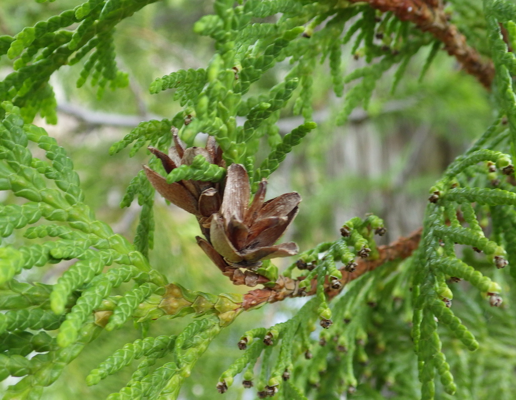
Explore More – Given the common names of northern white-cedar or eastern arborvitae, why is Thuja occidentalis known as the “tree-of-life”?

Keweenaw National Historical Park

Overview

The Keweenaw Peninsula juts north into Lake Superior from Michigan’s Upper Peninsula and is home to the richest copper ore (97% pure) on the planet.  American Indian artifacts made from this region’s copper have been found at several other National Park Service (NPS) sites, such as Georgia’s Ocmulgee Mounds National Historical Park and Ohio’s Hopewell Culture National Historical Park.  In the 1840s, immigrants representing 38 ethnic groups flooded this area to work as miners.  More recently, the NPS led a project to recreate historic buildings and archaeological sites within the digital world of Minecraft (click here for an article).

Highlights

Adventure Mine Tours, Quincy Mine, Delaware Copper Mine, downtown Calumet, Laurinium Mansion

Must-Do Activity

The NPS does not have much of a presence in this park, but rather relies on its partners to preserve the heritage sites.  We highly recommend the Miner’s Tour guided by the Adventure Mining Company in Greenland, Michigan.  In addition to getting a great history lesson, we rappelled down an 80-foot deep mine shaft and walked across a swinging bridge without handrails.  They also offer a less intense tour for all ages.

Best Trail

We walked the streets of Calumet, Michigan while doing our laundry across the street from the historic Calumet Theatre.  The NPS visitor center was closed, but we still got to see the Copper Country Firefighters History Museum and the Keweenaw Heritage Center inside St. Anne’s Church.  We also recommend a stop at the quirky vintage consignment store in the three-story Vertin Building built in 1885.

Instagram-worthy Photo

Quincy Mine is the most tourist-friendly part of Keweenaw National Historical Park offering a museum, tram ride, and underground mine tours.

Peak Season

Summer

Hours

https://www.nps.gov/kewe/planyourvisit/hours.htm

Fees

No NPS fees, but each heritage site charges its own admission with one of the cheapest being the $1 donation per person requested at the Copper Range Historical Museum in South Range, Michigan.

Road Conditions

Most roads are paved, with the exception of the short gravel road to the Adventure Mining Company.

Camping

Fort Wilkins and McLain State Parks both have campgrounds and dispersed campsites can be found in parts of Ottawa National Forest.  Backpacking is popular in Porcupine Mountains Wilderness State Park.

Related Sites

Pictured Rocks National Lakeshore (Michigan)

Isle Royale National Park (Michigan)

Effigy Mounds National Monument (Iowa)

Explore More – How deep was the shaft dug at Quincy Mine before it was closed in 1945 and allowed to fill with water?