Tag Archives: museum

San Antonio Missions National Historical Park

Overview

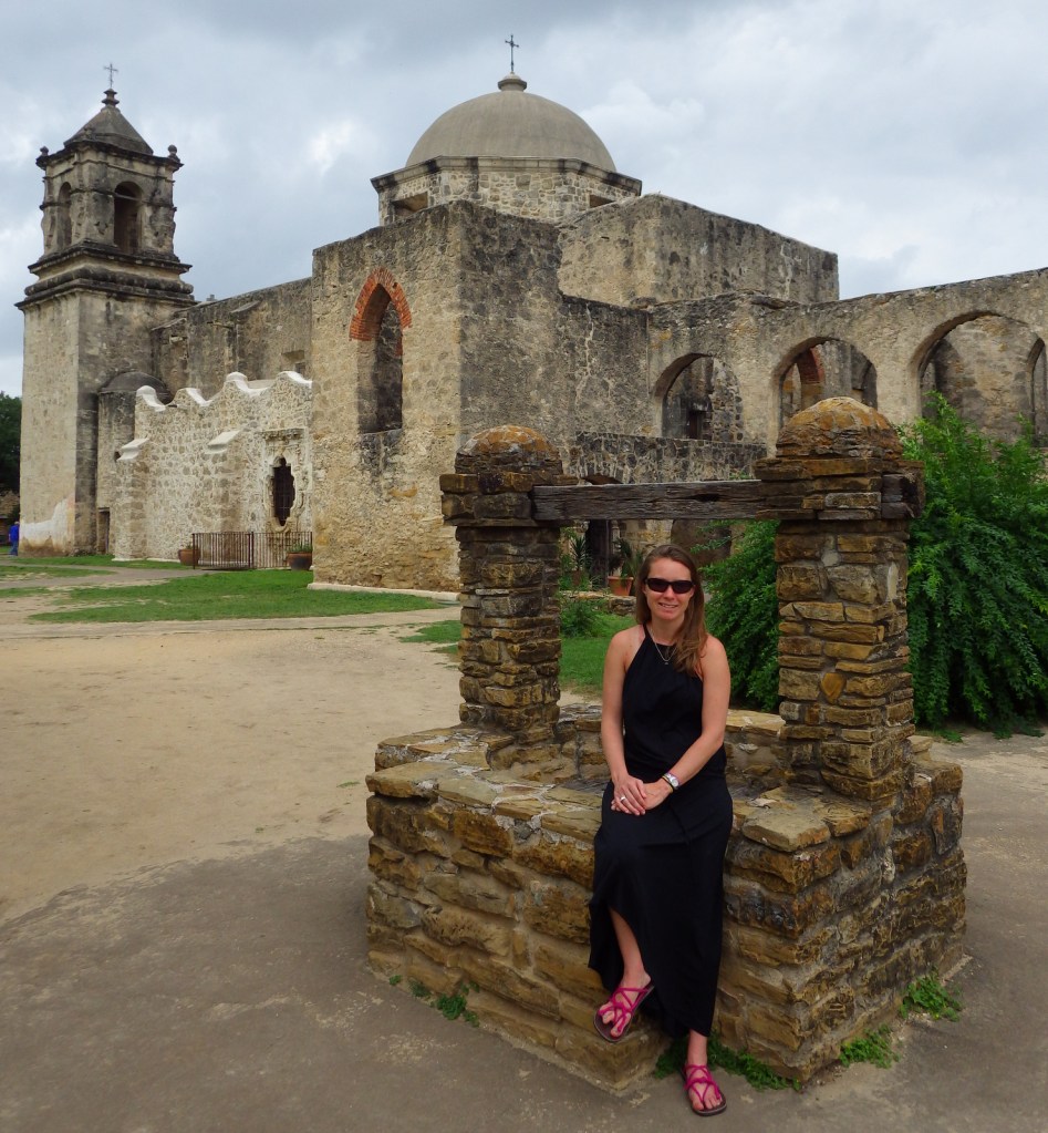
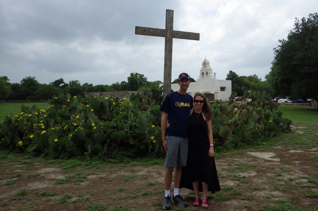
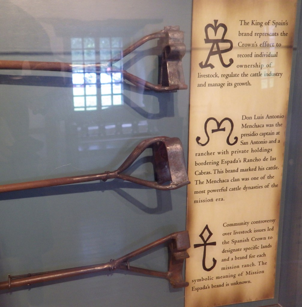
This park protects four historic Spanish missions around San Antonio, Texas, but does not include the famous Alamo (managed by the Daughters of the Republic of Texas).  Construction began in 1718 and by 1824 secularization was complete and land was distributed among the converted natives.  In 2015, these five missions along the San Antonio River were designated a UNESCO World Heritage Site.

Highlights

1720 Mission San José, 1755 Mission Concepción, 1731 Mission Espada, 1731 Mission San Juan Capistrano

Must-Do Activity

At the farthest south of the four missions (San Francisco de la Espada) there is also an interesting acequia system that includes an aqueduct, ditches, and a dam built in 1745, all of which are still used for irrigation purposes.  Mission San Juan Capistrano is covered in white stucco the way they all would have been historically.  Mission Concepción is the farthest north of the four missions and we thought it had the prettiest interior.

Best Trail

San Antonio’s famous River Walk Trail continues from the downtown area all the way south to Mission Espada, not to be confused with the signed Mission Trail driving route.

Instagram-worthy Photo

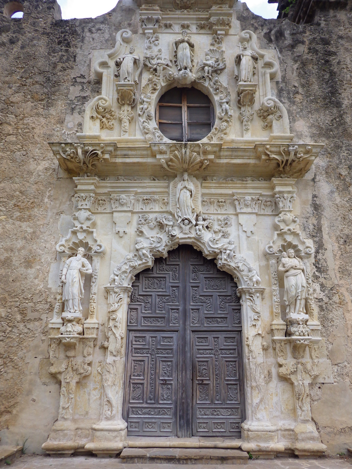
The beautifully preserved San José y San Miguel de Aguayo Mission dates back to 1720.  Today this large village complex is a popular location for wedding and graduation photos. 

Peak Season

Spring

Hours

https://www.nps.gov/saan/planyourvisit/hours.htm

Fees

None

Road Conditions

All roads paved with designated NPS parking lots.

Camping

None

Explore More – What is the historic mission name for the Alamo?

We are a participant in the Amazon Services LLC Associates Program, an affiliate advertising program designed to provide a means for us to earn fees by linking to Amazon.com and affiliated sites.

Salinas Pueblo Missions National Monument

Overview

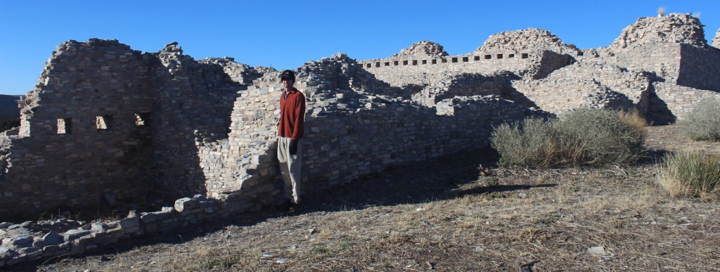
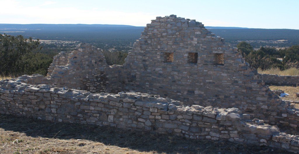
This interesting National Monument protects three separate Spanish missions that date to the 1600s, though its main visitor center in Mountainair, New Mexico is not next to any of them.  Their location near salt flats led to the name Salinas and contributed to the pueblos’ abandonment when a major drought struck in the 1670s.

Highlights

Gran Quivira, Quarai, Abó, film at main visitor center

Must-Do Activity

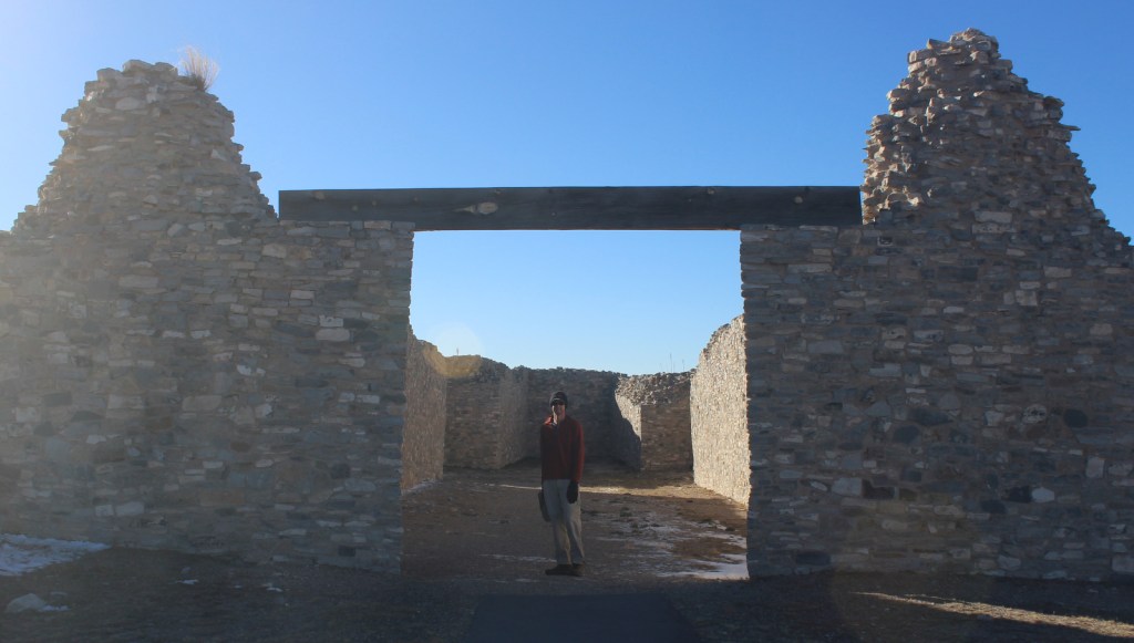
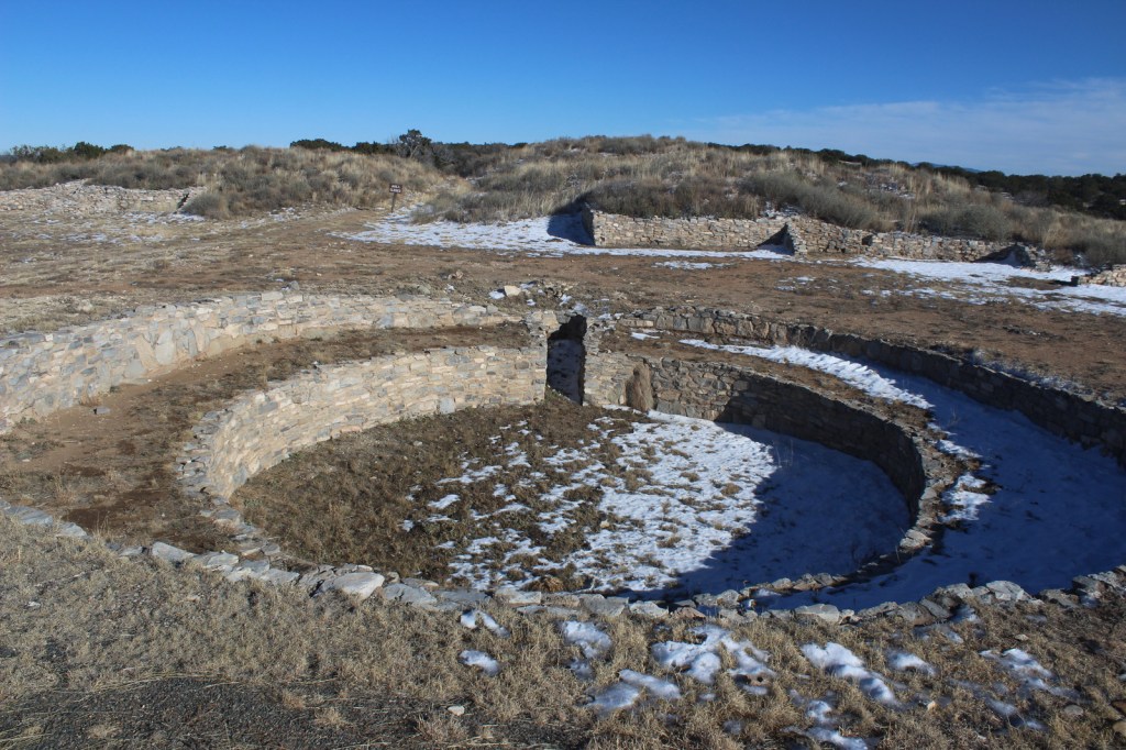
Gran Quivira has the remains of two churches (the second unfinished at the time of abandonment) and the most significantly excavated pueblo ruins (with kivas) of the three sites.

Best Trail

Each of the three pueblos has a paved walkway that leads through its ruins that leaves from the parking lot and past its contact station staffed by a National Park Service employee. 

Instagram-worthy Photo

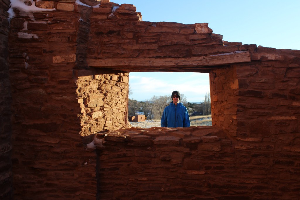
The church at Quarai is the most complete of the three sites and its red walls photograph well at sunset.

Peak Season

Spring and Fall

Hours

https://www.nps.gov/sapu/planyourvisit/hours.htm

Fees

None

Road Conditions

All roads paved

Camping

Manzano Mountains State Park has a seasonal campground 15 miles north of Mountainair, New Mexico.

Explore More – Other than the major drought in the 1670s, what other factors contributed to the abandonment of these pueblos?

Tumacácori National Historical Park

Overview

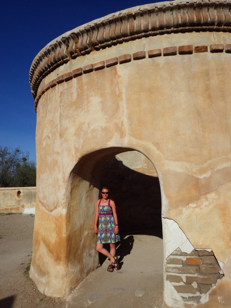
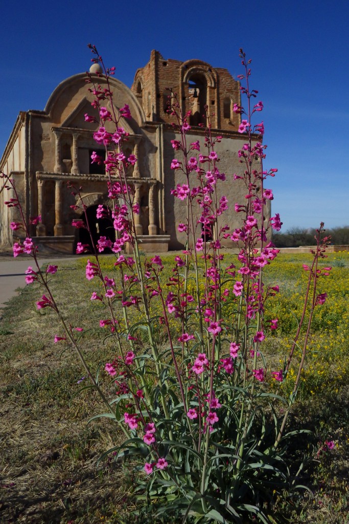
South of Tucson in Tubac, Arizona, San Cayetano de Tumacácori is a Spanish mission founded in 1691 by Padre Kino and abandoned in 1848.  It became a National Monument in 1908 when it was restored to its ruined state based on photographs dating from 1868.  Two additional mission ruins were added when it became a National Historical Park in 1990, but they are not open to the public except on special ranger-led tours January through March.

Highlights

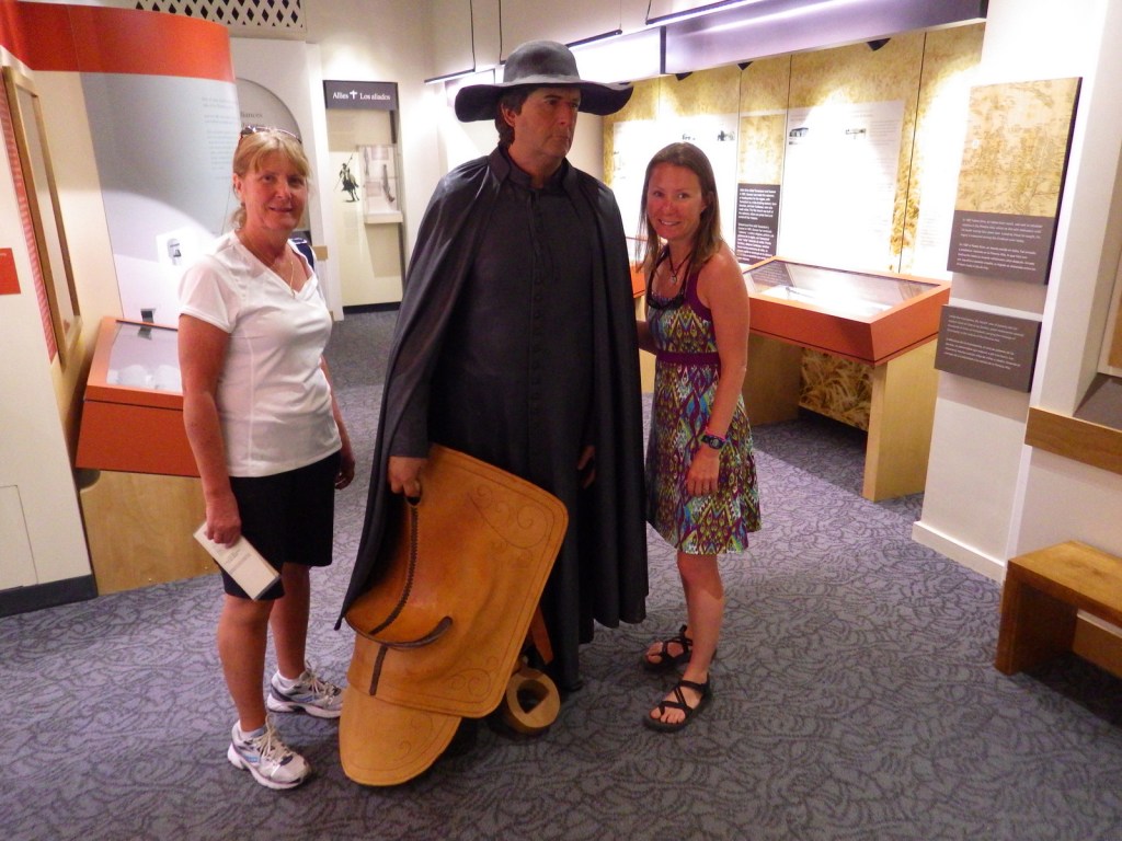
Historic mission, historic museum (built in 1937)

Must-Do Activity

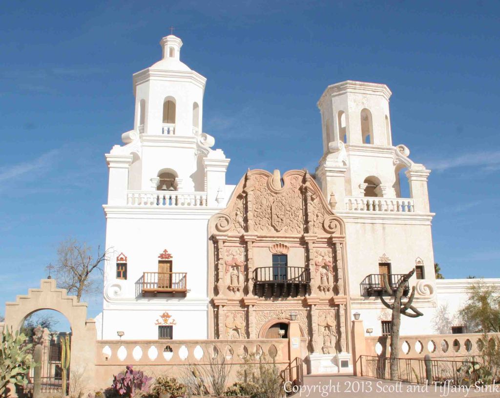
Jesuits, like the famous Padre Eusebio Kino, established more than 20 missions in this part of the Sonoran Desert in the late-1600s.  Some of the Pimas they were “serving” attacked in 1751, leading to the move of Tumacácori to its current location and the establishment of Tubac Presidio (now a State Park).   Mexico gained its independence from Spain in 1821 and the final phase of construction on the mission began two years later.  In 1853, the Gadsden Purchase brought this region into the United States of America.  When you visit the ruins of Tumacácori, consider a trip north to beautiful San Xavier del Bac, which is still an active church.

Best Trail

A 4-mile portion of the Juan Bautista de Anza National Historic Trail connects Tumacácori with Tubac Presidio State Historic Park, which offers a museum and an underground archaeological display.

Instagram-worthy Photo

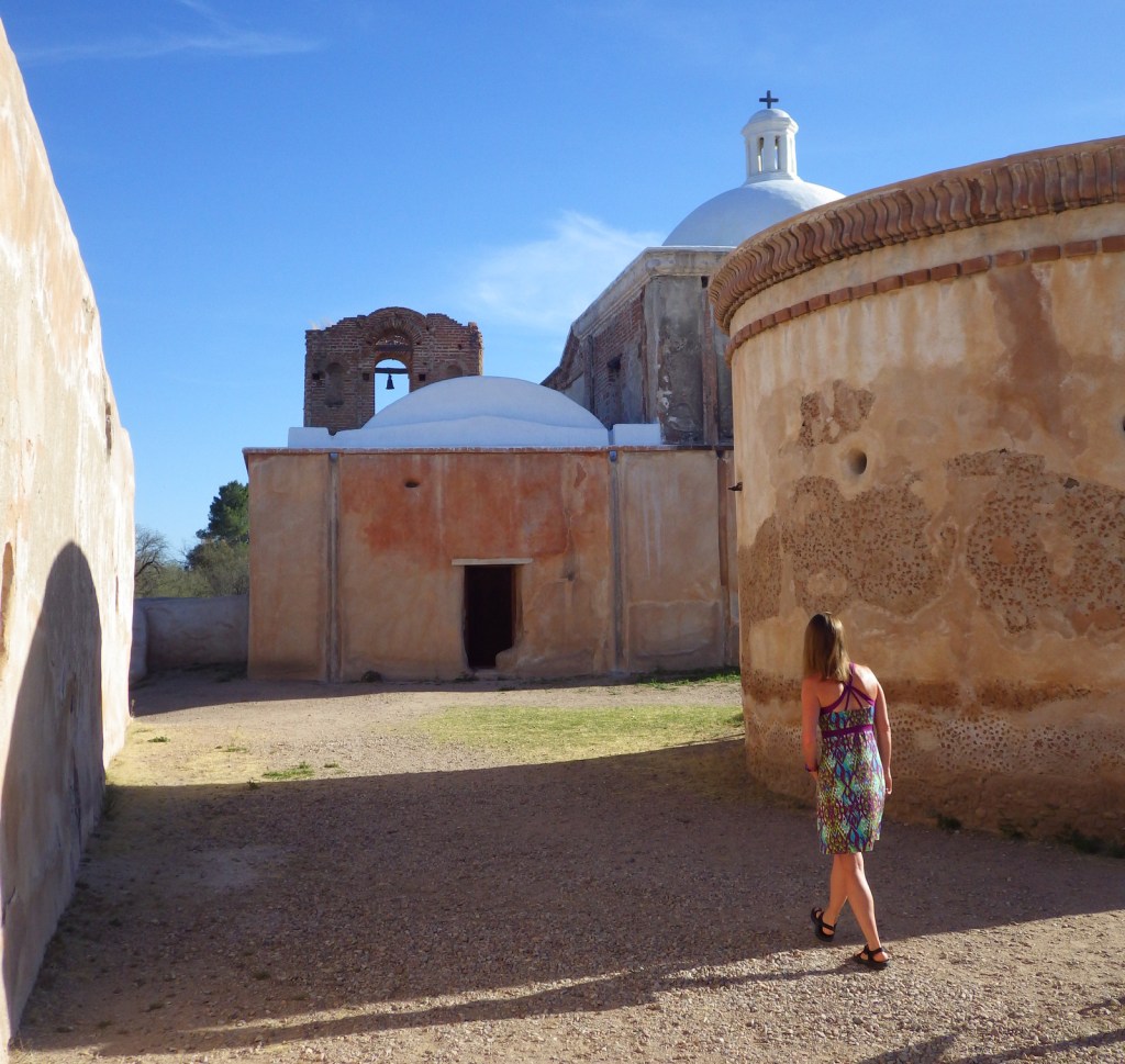
At the end of the day in the winter months, trees surrounding the mission cast interesting shadows on its stucco walls.

Peak Season

Winter

Hours

https://www.nps.gov/tuma/planyourvisit/hours.htm

Fees

$7 per person or America the Beautiful pass

Road Conditions

All roads paved

Camping

Patagonia Lake State Park has more than 200 campsites northeast of Nogales, Arizona.

Explore More – Why was the Jesuit order expelled in 1767 and their missions assigned to Franciscan friars?

Mount Rainier National Park

Mount Rainier National Park

Washington

Managed by National Park Service

Established 1899

236,381 acres

Website: nps.gov/mora

Overview

Only 3 hours from Seattle, 14,410-foot tall Mount Rainier dominates the skyline in all directions.  It spends many days cloaked in clouds, so your best view might be out a tiny airplane window before landing at Sea-Tac Airport.  It is an active volcano, uncomfortably close to a population of millions, but it provides recreational opportunities year round.  The park truly contains the wonderland for which its 93-mile circumnavigating trail is named.

Know someone who loves National Parks? Gift them our travel guide A Park to Yourself: Finding Solitude in America’s 63 National Parks

Highlights

Paradise, Sunrise, Grove of the Patriarchs Trail, Wonderland Trail

Must-Do Activity

Despite receiving an average of 680 inches of snow annually, the road to Paradise is open all year.  Even in July, you should pack your snowshoes to follow the 5.5 mile Skyline Loop or the 1.2 mile long Nisqually Vista Trail.  This is the jumping off point for most mountaineers attempting to summit the volcano.

Best Trail

A really fun (or scary) swinging footbridge grants access to the Grove of the Patriarchs Trail (1.2 miles roundtrip), where giant Douglas-fir trees tower to more than 300 feet in height.

Instagram-worthy Photo

Reflection Lake is right off the main park road east of the Paradise turnoff.  When there is no wind, it offers a stunning mirror view of Mount Rainier.

Peak Season

Summer, but expect heavy snowpack through July and at least 9 months a year.

Hours

https://www.nps.gov/mora/planyourvisit/hours.htm

Fees

$30 per vehicle or America The Beautiful pass

Road Conditions

The main roads to Paradise and Sunrise are paved, though the latter is closed October to July, as is the dirt road that accesses Mowich Lake.  The Carbon River Road in the northwest corner was washed out in 2006, but is still walkable for 5 miles one-way to access Ipsut Creek Campground.

Camping

There are several large campgrounds that accept reservations, but White River Campground near Sunrise has 112 sites available on a first-come, first-served basis. 

Related Sites

Mt. St. Helens National Volcanic Monument (Washington)

Gifford Pinchot National Forest (Washington)

Ross Lake National Recreation Area (Washington)


This design we created to celebrate Mount Rainier National Park is available on a variety of products at Cafe Press and Amazon.

Explore More – How many different glaciers cling to the sides of the Mount Rainier volcano?

Know someone who loves National Parks? Gift them our travel guide A Park to Yourself: Finding Solitude in America’s 63 National Parks

Devils Tower National Monument

Wyoming

Managed by National Park Service

Established 1906

1,347 acres

Website: nps.gov/deto

Overview

Devils Tower was named the United States’ first National Monument by President Teddy Roosevelt in 1906.  Legend has it that its deep stripes were made by the tearing claws of a giant bear attempting to climb after seven girls who were saved when the rock grew from three feet high to its current 867 feet.  You can see the girls today as the constellation Pleiades.  The bear came to rest in Bear Butte State Park in South Dakota.

Know someone who loves the National Monuments? Gift them our travel guidebook Monumental America: Your Guide to All 138 National Monuments that is available for sale on Amazon.com.

Highlights

Tower Trail, Joyner Ridge Trail, Prairie Dog Town

Must-Do Activity

Devils Tower is a distinctive 50-million-year-old volcanic plug, whose steep sides have been an irresistible challenge to rock climbers for years.  Watch for them as you complete the 1.3-mile loop trail around the entire tower, as it looks different from every angle.  Also look for the colorful prayer cloths left by Native Americans, many of whom would prefer this sacred site be renamed Bear Lodge National Monument.

Best Trail

Joyner Ridge Trail provides a unique view of the tower and forms a 1.5-mile loop or connects to the longer Red Beds Trail that circumnavigates it.

Instagram-worthy Photo

Visit in late September for fall foliage: golden quaking aspens and red chokecherry bushes.

Peak Season

Summer

Hours

https://www.nps.gov/deto/planyourvisit/hours.htm

Fees

$25 per vehicle or America The Beautiful pass

Road Conditions

Long vehicles must park just below the visitor center and hike a short ways up.  The short West Road to Joyner Ridge Trailhead is a good dirt road.

Camping

On the prairie below Devils Tower, a 50-site campground is located within a grove of cottonwood trees, with running water available May through October.  A private campground with RV hookups is located near the park entrance. Dispersed camping is possible in parts of Black Hills National Forest, but be careful to avoid private inholdings.

Related Sites

Yellowstone National Park (Wyoming-Montana-Idaho)

Black Hills National Forest (South Dakota-Wyoming)

Fossil Butte National Monument (Wyoming)

Grand Teton National Park (Wyoming)

Nearest National Park

Wind Cave

Explore More – How is park connected with the classic 1978 film Close Encounters of the Third Kind?

Learn more about the other 137 National Monuments in our book Monumental America: Your Guide to All 138 National Monuments