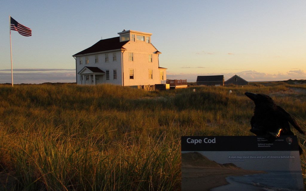
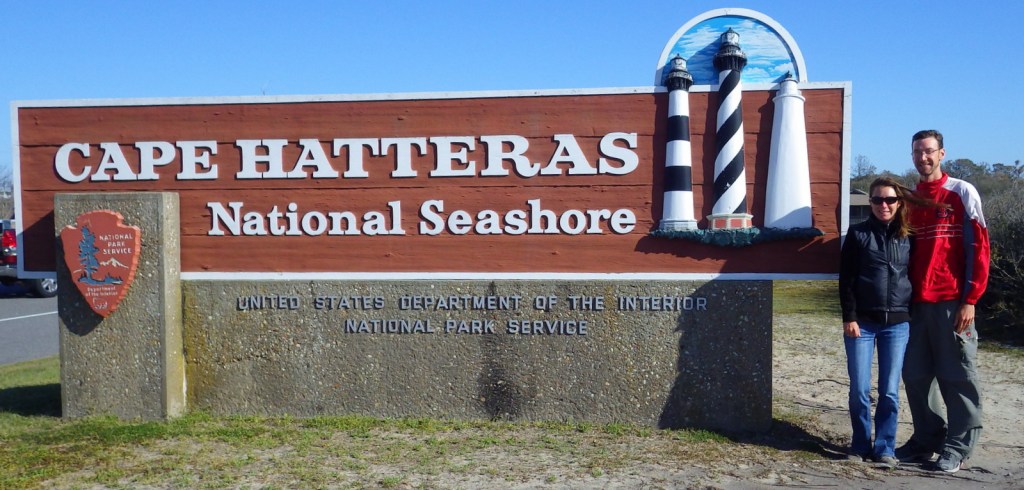
Overview
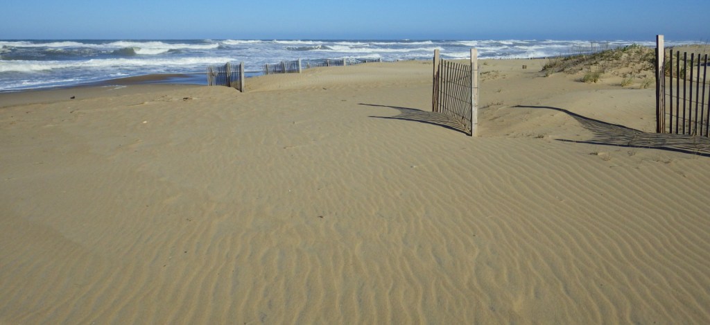
The Outer Banks of North Carolina have sparked the imaginations of travelers ever since British colonists landed here in 1585. If you are seeking undeveloped beaches that have changed little over the centuries then this is the place to go. The 70 miles of barrier islands protected as Cape Hatteras National Seashore are interrupted only by small seaside villages and one long section by Pea Island National Wildlife Refuge. Bodie Island and Hatteras Island are connected by bridges, but Ocracoke Island is only accessible by ferry.

Highlights
1870 Cape Hatteras Lighthouse, 1872 Bodie Island Lighthouse, Ocracoke Island Campground, beaches
Must-Do Activity
The main National Park Service (NPS) visitor center is located at iconic Cape Hatteras Lighthouse where you can learn about shipwrecks, pirates, and the monumental effort to move the 208-foot tall brick structure in 1999. Further down Highway 12, pick up a free ferry to Ocracoke Island, a renowned vacation destination. Several campgrounds are found along the seashore, including one on Ocracoke. Since this remote strip of sand is not easy to get to, you will want to spend at least a night or two.
Best Trail
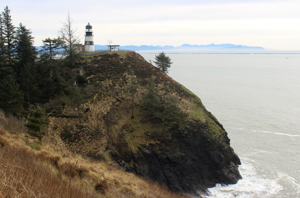
Walking the beach and collecting seashells is the most popular diversion, but there are also the Hammock Hills Nature Trail on Ocracoke Island and Buxton Woods Nature Trail on Hatteras Island.
Instagram-worthy Photo
Ocracoke Lighthouse is the oldest operating lighthouse in North Carolina, dating back to 1823, but it is not open to enter inside.

Peak Season
Summer
Hours
https://www.nps.gov/caha/planyourvisit/hours.htm
Fees
None, except a fee is charged to climb Bodie Island and Cape Hatteras Lighthouses
Road Conditions
All main roads are paved and there are designated access points to drive on the beach.
Camping
There are four NPS campgrounds and they all take reservations.
Related Sites
Cape Lookout National Seashore (North Carolina)
Fort Raleigh National Historic Site (North Carolina)
Wright Brothers National Memorial (North Carolina)

Tiff with Bodie Island Lighthouse 
Beach bunny 
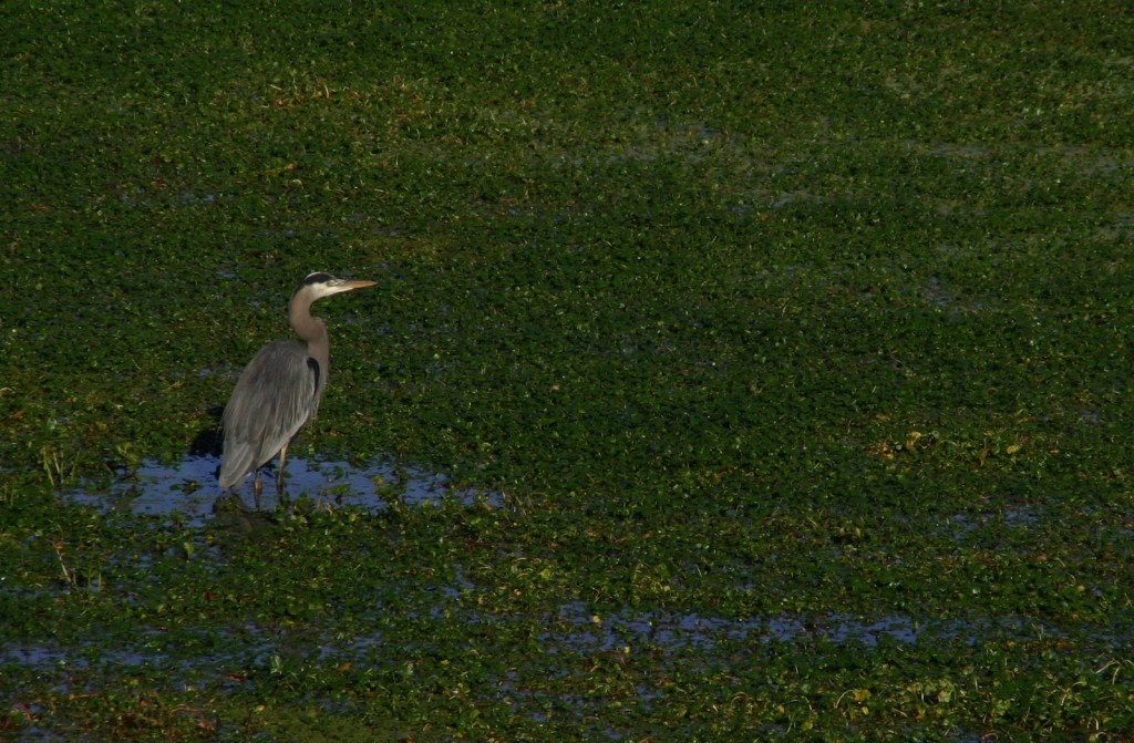
Tiff with some egrets in the water 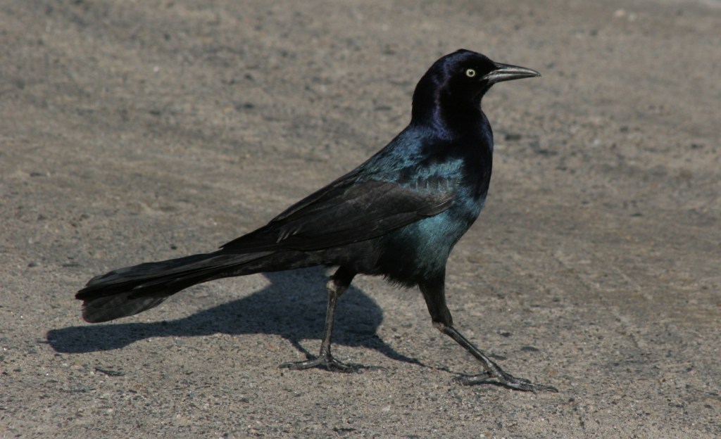
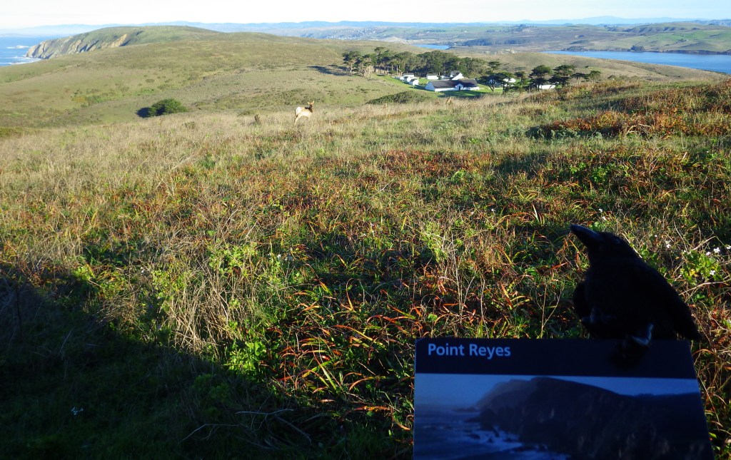
Grackle 
Scott at Cape Hatteras Lighthouse 
Tiff atop Cape Hatteras Lighthouse 
View from atop Cape Hatteras Lighthouse 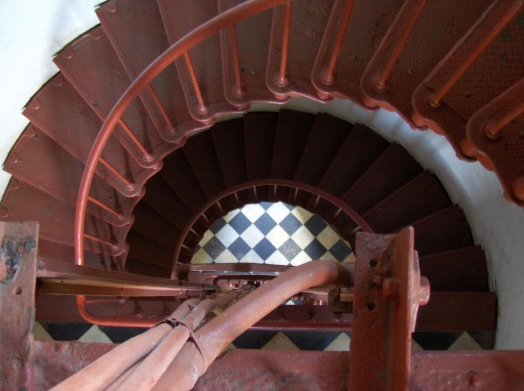
Inside Cape Hatteras Lighthouse 
NPS campsite on Ocracoke Island 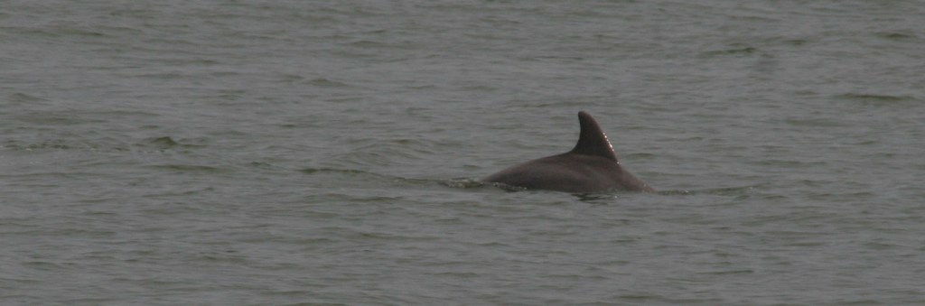
Dolphin
Explore More – The Outer Banks are known as the “Graveyard of the Atlantic,” so how many shipwrecks have been recorded in this area?