Overview
Acadia National Park in Maine is famous for its 45 miles of Carriage Roads and watching a sunrise from atop 1,530-foot tall Cadillac Mountain. We recommend you plan your visit around attending a Star Party to view the night sky through dozens of telescopes. We visited on a September weekend, and even though it was not yet leaf-peeping season, the main park road across Mount Desert Island was jam packed and parking spaces were difficult to come by. [This is also one of 50 National Parks covered in our new guidebook]

Highlights
Cadillac Mountain, Precipice Trail, Bass Harbor Head Lighthouse
Must-Do Activity
If you don’t like crowds, then visit on a weekday and avoid Cadillac Mountain, Bar Harbor, Precipice Trailhead, Thunder Hole, Jordan Pond House, and Bass Harbor Head Lighthouse. We preferred our time spent on the Schoodic Peninsula with its nice campground and unoccupied overlooks across the bay towards busy Mount Desert Island.
Best Trail
Iron rungs and ladders assist those who wish to climb the aptly named Precipice Trail. The trail provides awesome Atlantic Ocean views from the cliffs on the way up to Champlain Mountain. A 2.5-mile loop can be formed when combined with Champlain North Ridge and Orange & Black Trails. Other “ladder trails” in the park include the Beehive and Perpendicular Trails.
Instagram-worthy Photo
Photographers hang out for hours waiting for sunset on the rocks below Bass Harbor Head Lighthouse.

Peak Season
Summer and fall
Hours
https://www.nps.gov/acad/planyourvisit/hours.htm
Fees
$30 per vehicle or America the Beautiful pass
Road Conditions
Most roads paved with the notable exception of the one that summits Schoodic Head.
Camping
There are several campgrounds in the park and we enjoyed our stay in the forested Schoodic Peninsula Campground, which opened in 2016.
Related Sites
Appalachian National Scenic Trail (Maine to Georgia)
Saint Croix Island International Historic Site (Maine)
Marsh-Billings-Rockefeller National Historical Park (Vermont)

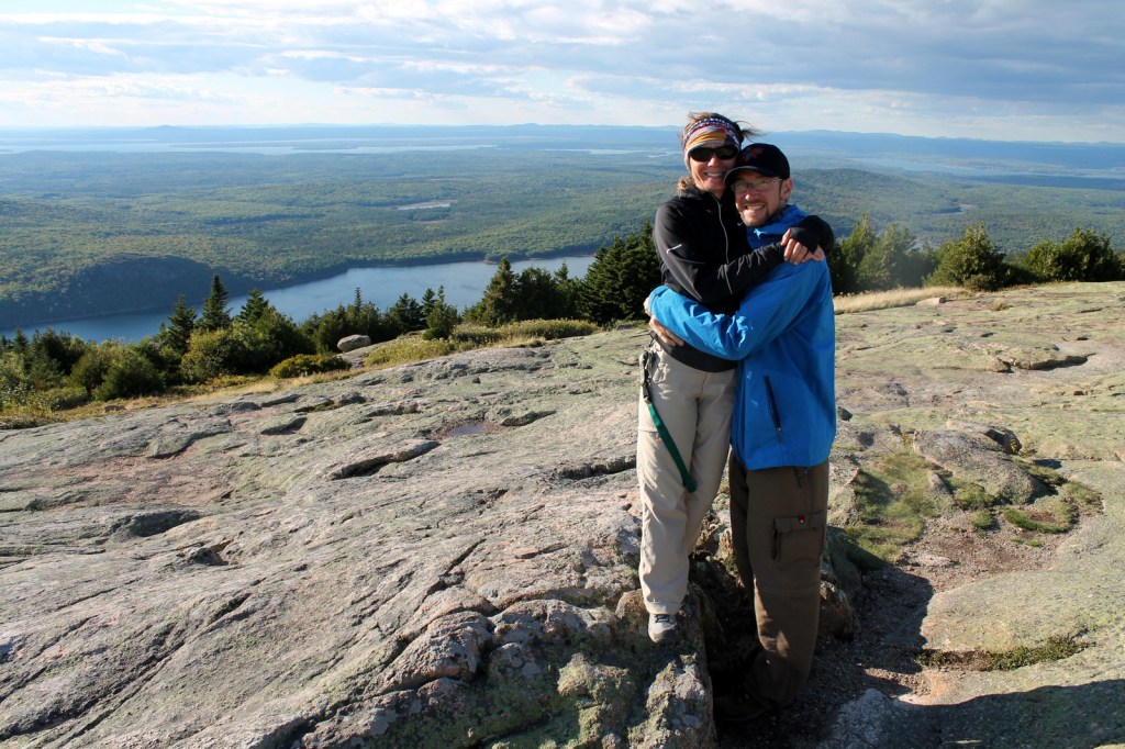
Scott and Tiff atop Champlain Mountain 
Scott on the Precipice Trail 
Tiff and her father on the Precipice Trail 
Scott and Tiff atop Cadillac Mountain 


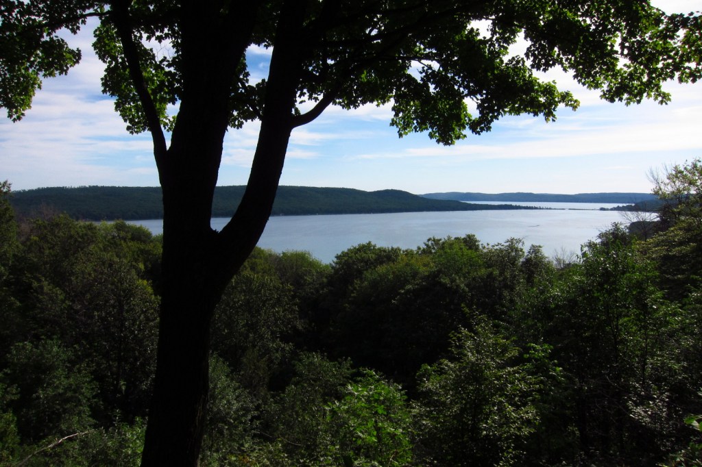
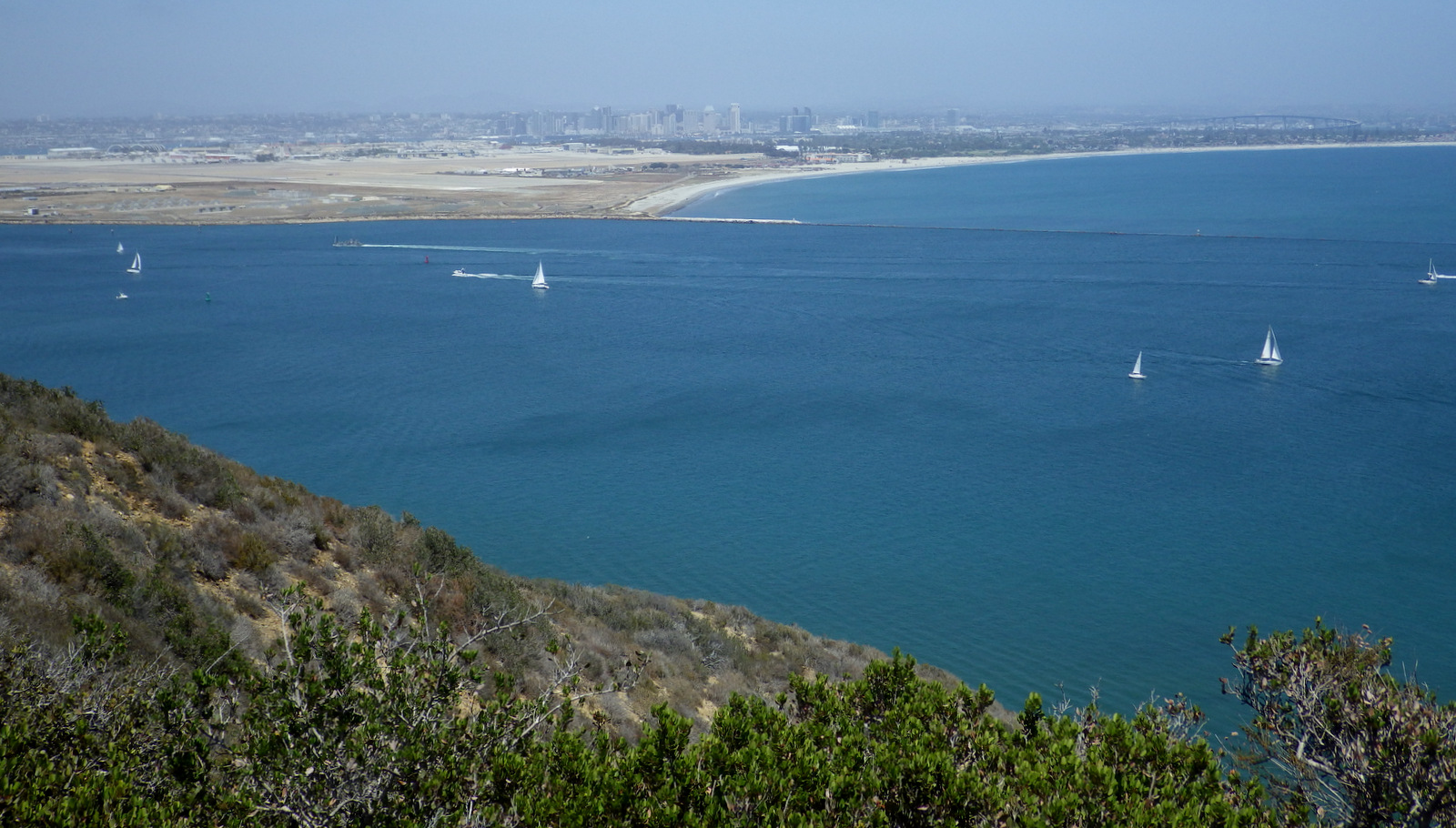
View towards Mount Desert Island from Schoodic Point 

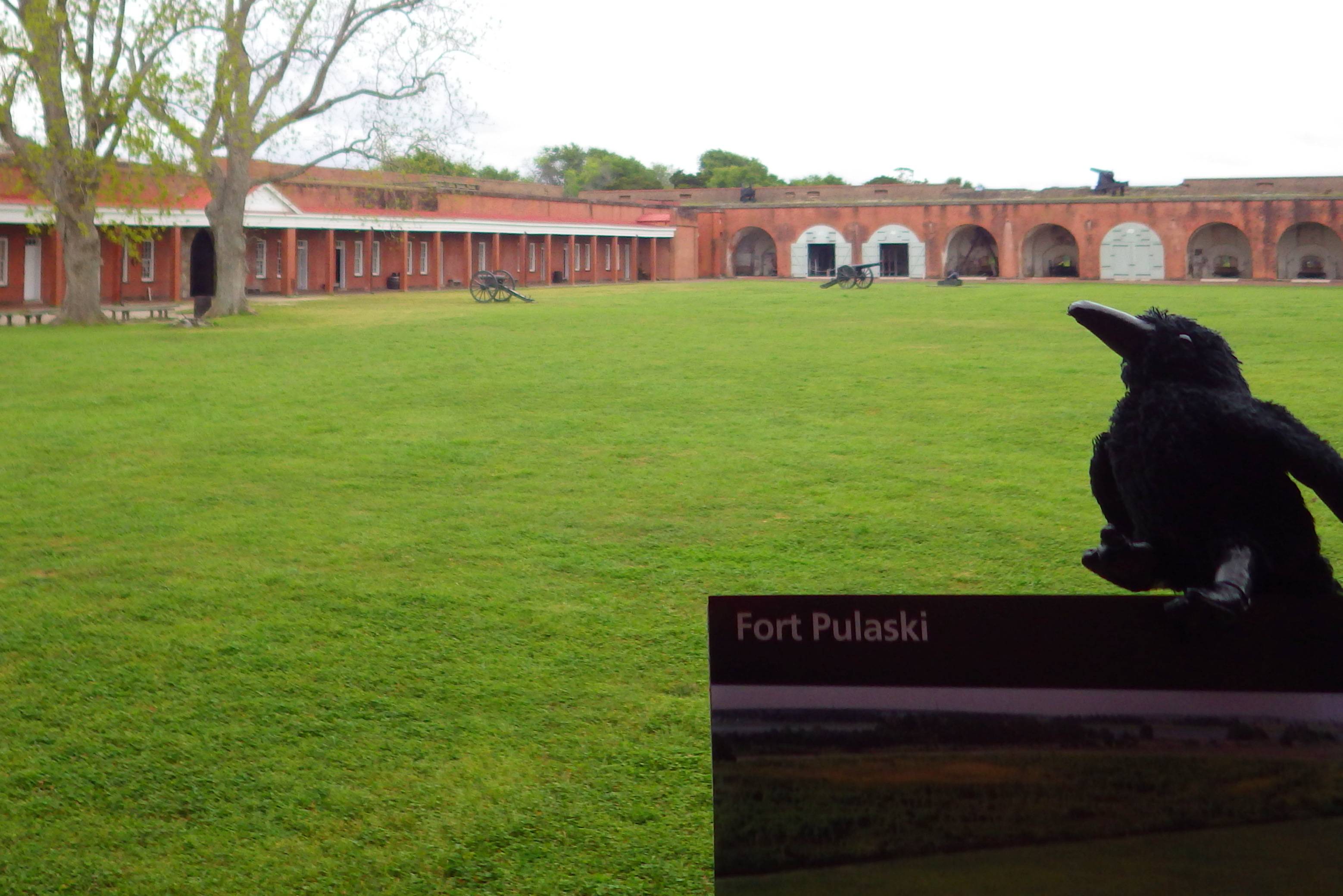
Raven about the park


Cafe Press 

Explore More – What was the original name of this park when it was created on February 26, 1919 (the same day as Grand Canyon National Park)?

We are a participant in the Amazon Services LLC Associates Program, an affiliate advertising program designed to provide a means for us to earn fees by linking to Amazon.com and affiliated sites.