Tag Archives: history

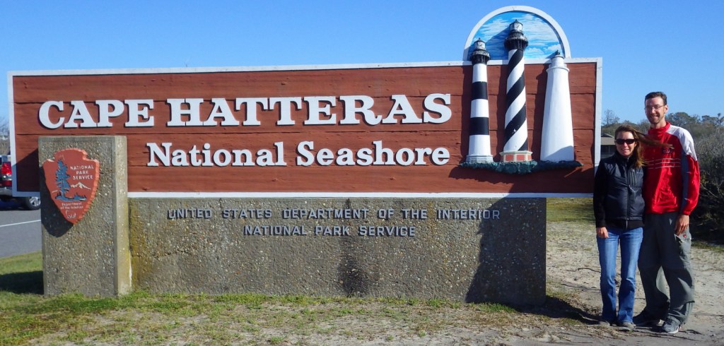
Cape Hatteras National Seashore

Overview

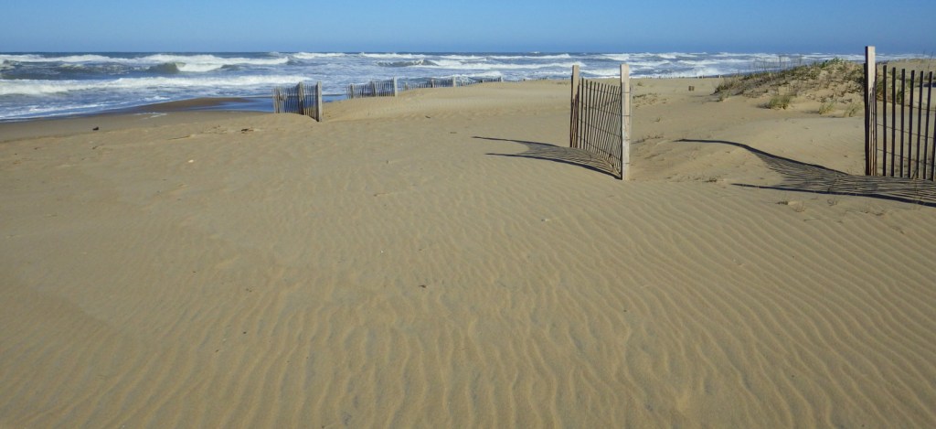
The Outer Banks of North Carolina have sparked the imaginations of travelers ever since British colonists landed here in 1585.  If you are seeking undeveloped beaches that have changed little over the centuries then this is the place to go.  The 70 miles of barrier islands protected as Cape Hatteras National Seashore are interrupted only by small seaside villages and one long section by Pea Island National Wildlife Refuge.  Bodie Island and Hatteras Island are connected by bridges, but Ocracoke Island is only accessible by ferry.

Highlights

1870 Cape Hatteras Lighthouse, 1872 Bodie Island Lighthouse, Ocracoke Island Campground, beaches

Must-Do Activity

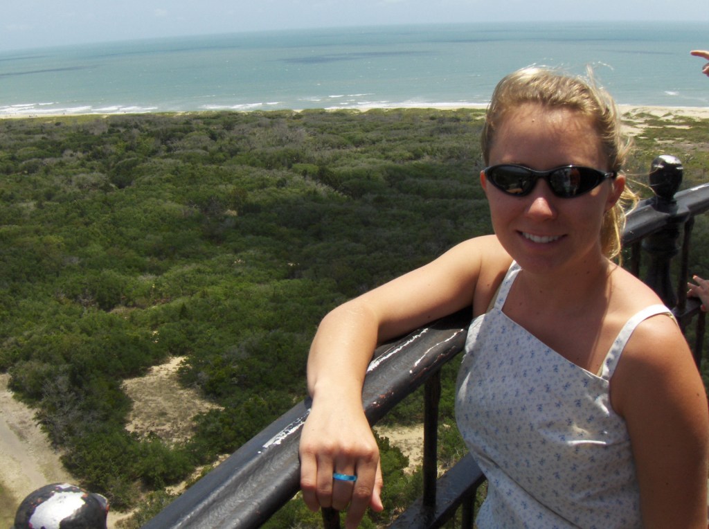
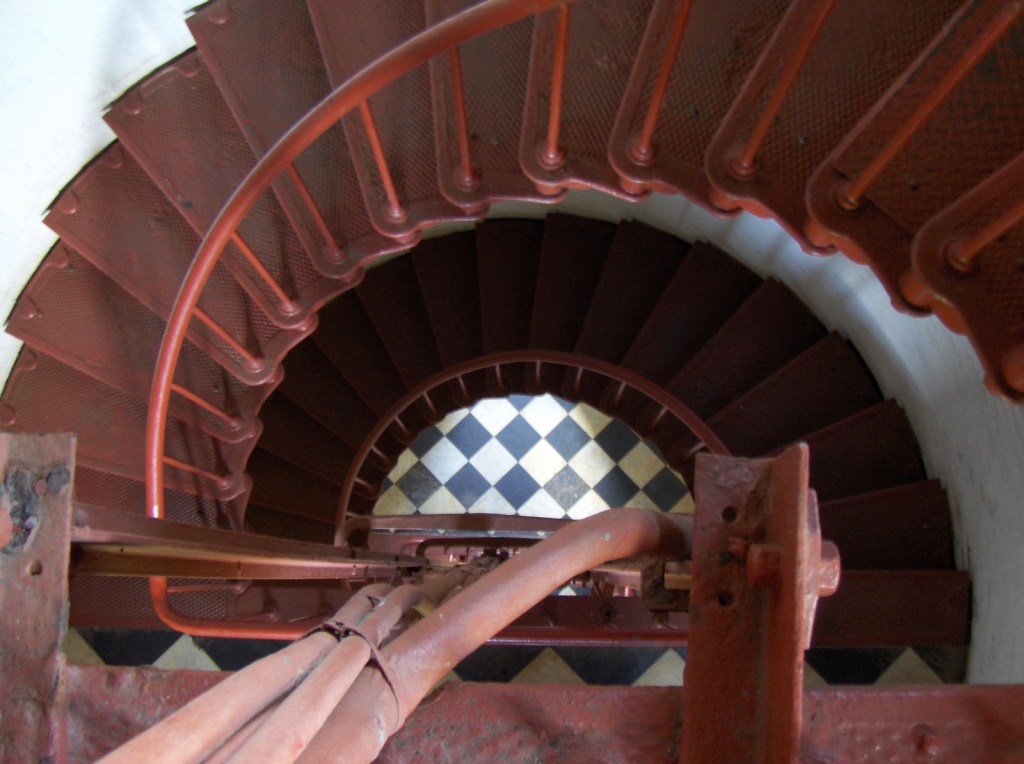
The main National Park Service (NPS) visitor center is located at iconic Cape Hatteras Lighthouse where you can learn about shipwrecks, pirates, and the monumental effort to move the 208-foot tall brick structure in 1999.  Further down Highway 12, pick up a free ferry to Ocracoke Island, a renowned vacation destination.  Several campgrounds are found along the seashore, including one on Ocracoke.  Since this remote strip of sand is not easy to get to, you will want to spend at least a night or two.

Best Trail

Walking the beach and collecting seashells is the most popular diversion, but there are also the Hammock Hills Nature Trail on Ocracoke Island and Buxton Woods Nature Trail on Hatteras Island.

Instagram-worthy Photo

Ocracoke Lighthouse is the oldest operating lighthouse in North Carolina, dating back to 1823, but it is not open to enter inside.

Peak Season

Summer

Hours

https://www.nps.gov/caha/planyourvisit/hours.htm

Fees

None, except a fee is charged to climb Bodie Island and Cape Hatteras Lighthouses

Road Conditions

All main roads are paved and there are designated access points to drive on the beach.

Camping

There are four NPS campgrounds and they all take reservations.

Related Sites

Cape Lookout National Seashore (North Carolina)

Fort Raleigh National Historic Site (North Carolina)

Wright Brothers National Memorial (North Carolina)
Explore More – The Outer Banks are known as the “Graveyard of the Atlantic,” so how many shipwrecks have been recorded in this area?

Charles Pinckney National Historic Site

Overview

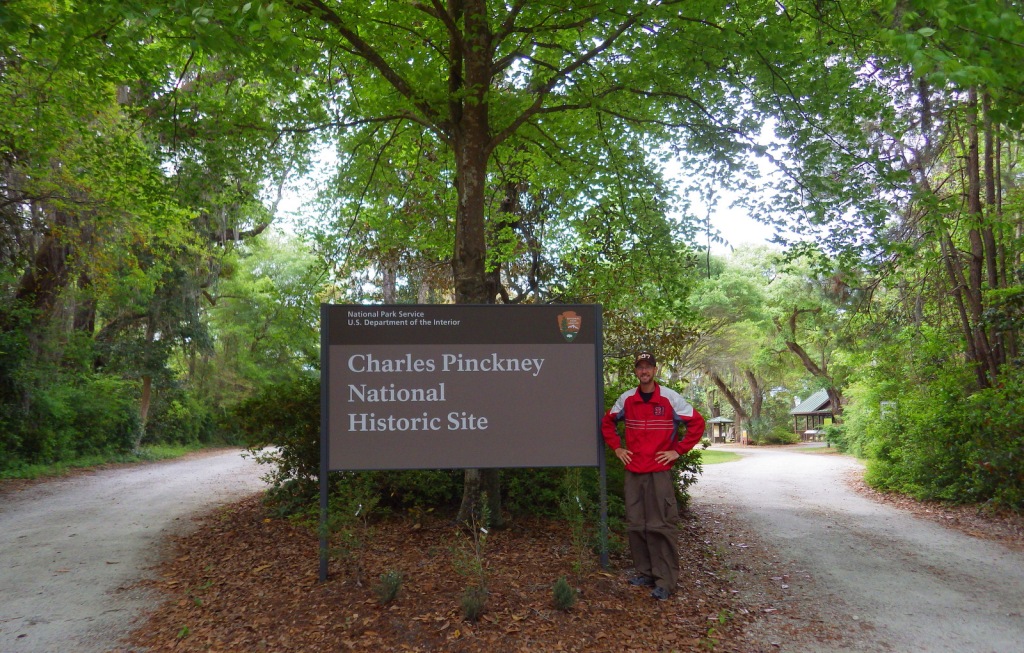
North of Charleston, South Carolina near Fort Moultrie is a National Park Service (NPS) site dedicated to preserving the memory of one of the forgotten framers of the U.S. Constitution.  Charles Pinckney served as an officer during the American Revolution and a delegate to the 1787 Constitutional Convention in Philadelphia.  Before his death in 1824, he would go on to be four-term Governor of South Carolina, ambassador to Spain, and member of both the U.S. Senate and House of Representatives.

Highlights

Museum, historic home, nature trail

Must-Do Activity

The low-country cottage that serves as the NPS visitor center and museum was built in 1828, probably on top of the foundation for the Pinckney’s plantation house.  It is filled with artifacts and information on the Pinckney family and their slaves that farmed rice and indigo.  The NPS rangers were very welcoming to us here when we visited during our Pretirement year in 2016.  This site is free to visit and located across from the well-known Boone Hall Plantation (admission charged).

Best Trail

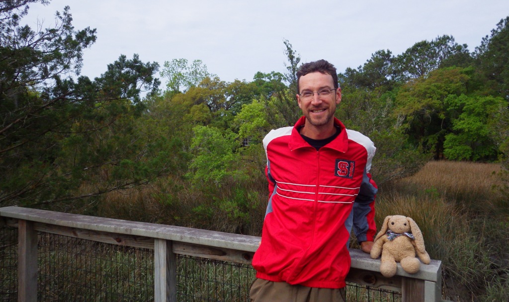
A short trail leads to an overlook of the tidal river area, but watch out for poison-ivy and ticks.

Instagram-worthy Photo

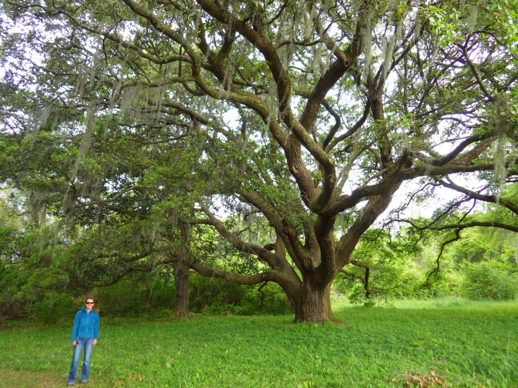
The live oak trees growing on the property are beautiful with twisting branches draped in Spanish moss.

Peak Season

Summer

Hours

https://www.nps.gov/chpi/planyourvisit/hours.htm

Fees

None

Road Conditions

The access roads are paved except for the last part on NPS property which is well-packed sand and gravel.

Camping

No camping at the site, but there are options outside Charleston in Francis Marion National Forest.

Related Sites

Fort Sumter and Fort Moultrie National Historical Park (South Carolina)

Reconstruction Era National Monument (South Carolina)

Ninety Six National Historic Site (South Carolina)

Explore More – The NPS property is only 28 acres of the original 715-acre Snee Farm, part of the original royal land grant given to Richard Butler in what year?

Delaware Water Gap National Recreation Area

Overview

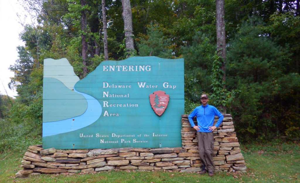
On the Pennsylvania-New Jersey border, the Delaware River flows through a gap in the long ridge of the Appalachian Mountains.  This marks the southern end of Delaware Water Gap National Recreation Area and the site of the Kittatinny Point Visitor Center (right off Interstate 80) managed by the National Park Service (NPS).  When preservationists fought to protect this area from being dammed in the 1960s it led to the creation of the National Recreation Area surrounding a 40-mile stretch of river designated as the Middle Delaware National Scenic River.

Highlights

Raymondskill Falls, Millbrook Village, Dingmans Falls, floating Middle Delaware National Scenic River

Must-Do Activity

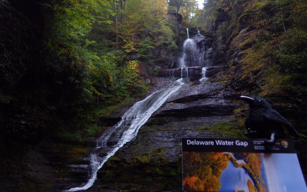
Most of the NPS visitor centers are open seasonally in this resort area on the Pocono Plateau.  We visited in the offseason in late September and enjoyed hiking to Raymondskill, Silver Thread, and Dingmans Falls on the Pennsylvania side.  On the New Jersey side the main attraction is Millbrook Village, a recreated 1800s town that is open year round.  Fishing, swimming, and floating the Middle Delaware National Scenic River are popular in the summer.

Best Trail

There are more than 100 miles of trails within the park, including 27 miles of the famous Appalachian National Scenic Trail that leads to the top of Mt. Minsi for great views of the actual Delaware Water Gap.

Instagram-worthy Photo

A boardwalk trail passes 80-foot tall Silver Thread Falls on the way to 130-foot tall Dingmans Falls.

Peak Season

Summer

Hours

https://www.nps.gov/dewa/planyourvisit/hours.htm

Fees

None for entry, but some sites have a user fee (Smithfield Beach, Milford Beach, etc.) and there are toll bridges across the river in places.

Road Conditions

There are several unpaved roads and toll bridges within the boundaries of Delaware Water Gap National Recreation Area.

Camping

Promised Land State Park in Pennsylvania

Campground options available in New Jersey include Worthington State Forest, High Point State Park, and Stokes State Forest.  Dingmans Campground on the Pennsylvania side offers discounts for the NPS Senior Pass. Primitive camping is allowed for thru-hikers on the Appalachian National Scenic Trail and along the riverside for boaters.  Keep a clean campsite, as black bears are common.

Related Sites

Upper Delaware Scenic and Recreational River (New York-Pennsylvania)

Allegheny Portage Railroad National Historic Site (Pennsylvania)

Hopewell Furnace National Historic Site (Pennsylvania)

Explore More – The Delaware River is one of the cleanest rivers in the eastern U.S. and attracts large numbers of which nationally symbolic raptor every winter?

Petroglyph National Monument

Overview

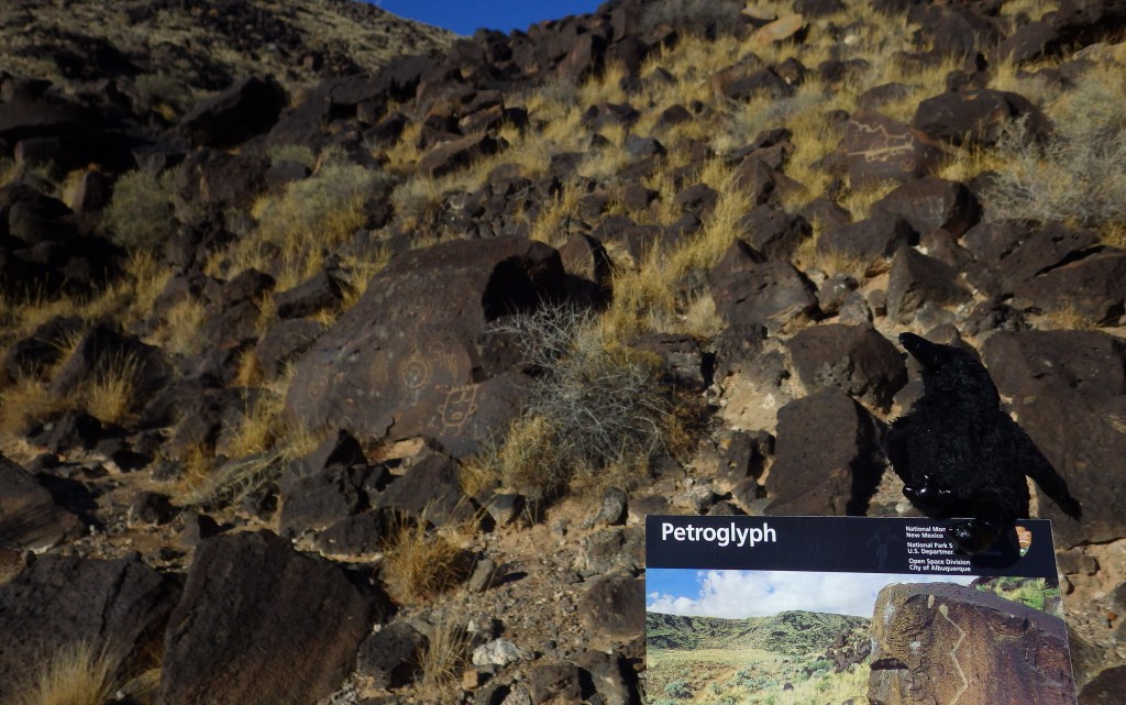
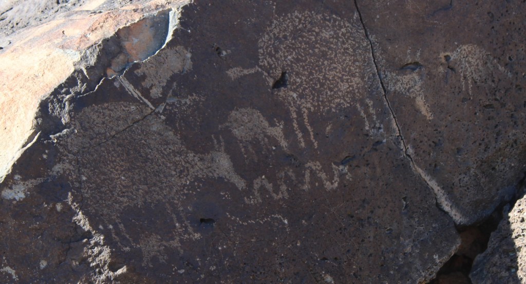
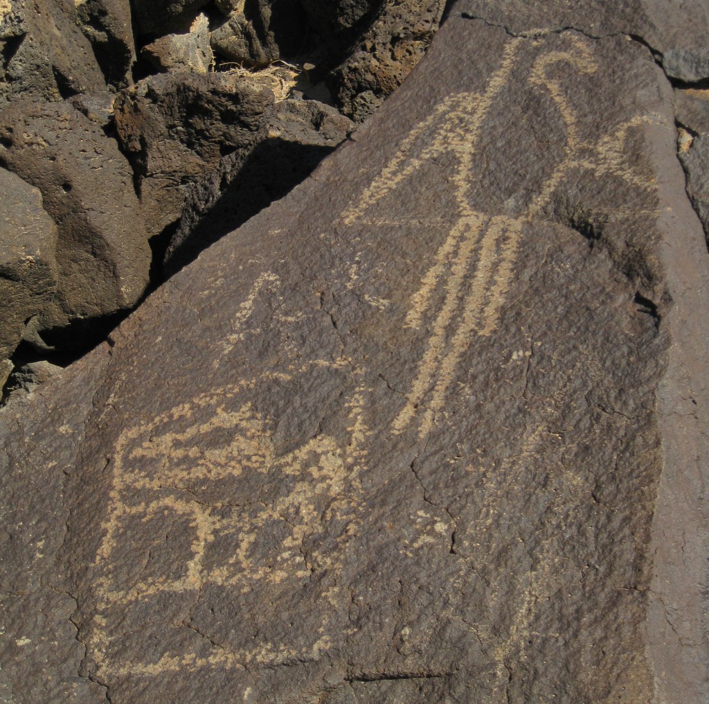
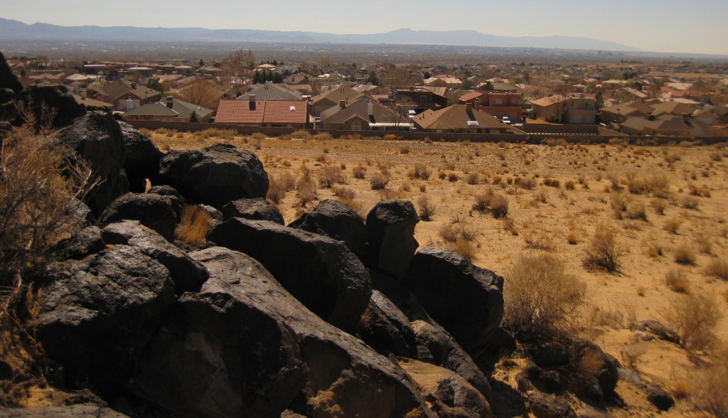
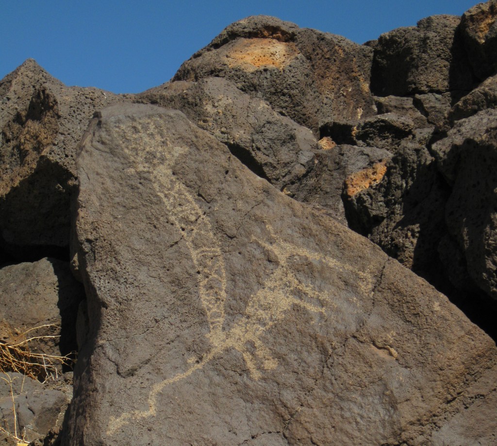
Bordered by the suburban neighborhoods of Albuquerque, Petroglyph National Monument is a nice place to take a walk and enjoy some intricate artwork.  The petroglyphs were chipped into the patina of volcanic rocks in a long-populated region of the Rio Grande Valley.  Some of these images may be up to 3,000 years old, with most believed to be carved between AD 1400 and 1700.  A few were added by Hispanic settlers and explorers through the 1800s, but the National Park Service (NPS) politely requests no aspiring artists add any more.

Highlights

Boca Negra Canyon, Rinconada Canyon Trail, Piedras Marcadas Canyon, Volcanoes Day Use Area

Must-Do Activity

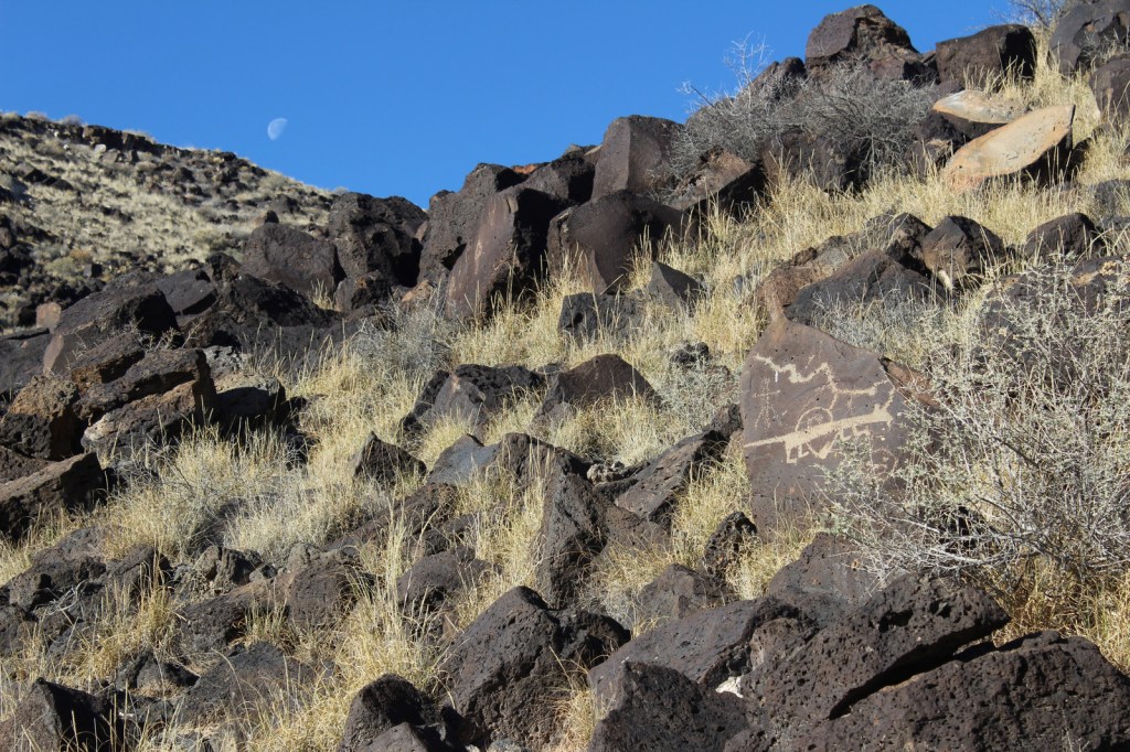
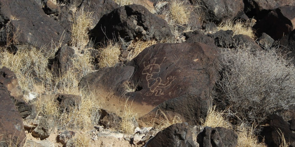
There are multiple areas of this National Monument established in 1990, some literally in Albuquerque residents’ backyards.  At Boca Negra Canyon, you will find interesting depictions of humans, snakes, and even parrots from Central America, as well as many puzzling illustrations.  Use your imagination to try to guess what the original carver was trying to display. 

Best Trail

Volcanoes Day Use Area offers loop trails around three volcanic cones on the West Mesa with incredible views of the Sandia Mountains and Rio Grande Valley (but no petroglyphs).

Instagram-worthy Photo

Rinconada Canyon Trail is 1.25 miles one-way and starts at a small NPS parking lot in suburban Albuquerque and accesses an area with thousands of petroglyphs.

Peak Season

Spring and fall

Hours

https://www.nps.gov/petr/planyourvisit/hours.htm

Fees

None

Road Conditions

All roads are paved, but be prepared for stoplights, especially on the main connecting road Unser Boulevard.

Camping

There are private campgrounds around Albuquerque, New Mexico, or you can look for options in the Cibola and Santa Fe National Forests.

Related Sites

Pecos National Historical Park (New Mexico)

El Morro National Monument (New Mexico)

Salinas Pueblo Missions National Monument (New Mexico)

Explore More – How many petroglyphs are estimated to be protected within this National Monument?

Boca Negra Canyon contains thousands of petroglyphs and fascinating volcanic rock formations.

Some petroglyphs are more difficult to interpret.  I think this one depicts a yucca fruit.

Wind Cave National Park

Overview

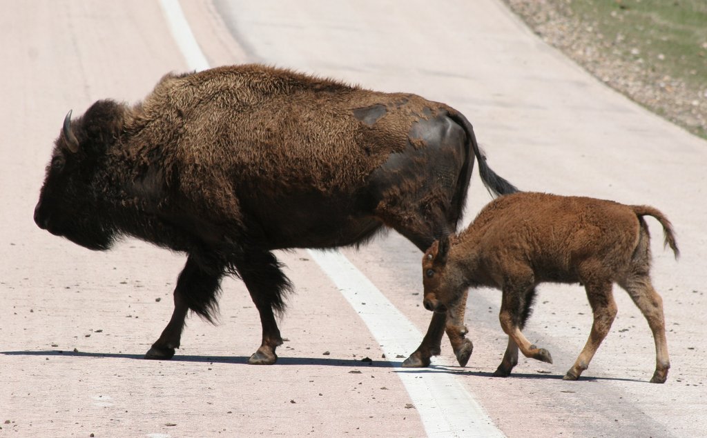
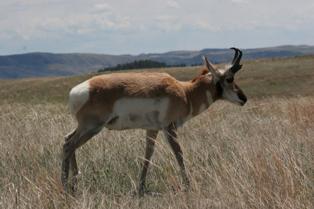
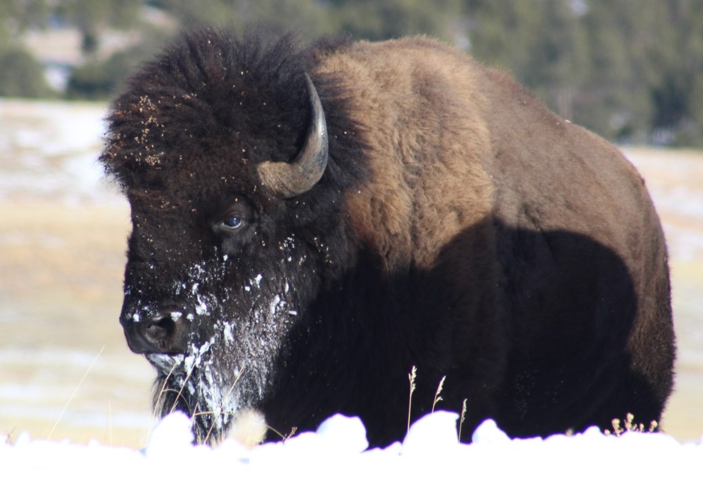
The seventh-longest mapped cave in the world, Wind Cave was discovered in 1881 by Black Hills settlers who noticed a whistling sound coming from its narrow natural entrance.  It was named a national park in 1903 and is famous for its boxwork calcite formations.  The National Park has a herd of approximately 400 bison, in addition to pronghorns, prairie dogs, turkeys, coyotes, white-tailed deer, and elk.

Learn more in our guidebook A Park to Yourself: Finding Adventure in America’s National Parks (available on Amazon).

Highlights

Museum, cave tours, Rankin Ridge lookout tower, Highland Creek Trail, wildlife

Must-Do Activity

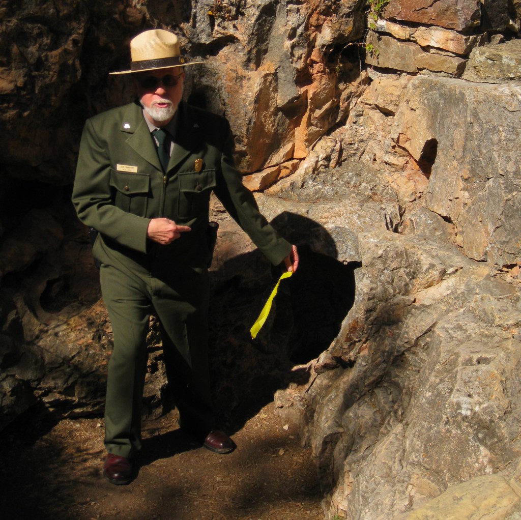
The interior of Wind Cave is a constant 53°F, so bring a jacket if you sign up for one of several tours.  For first-timers we recommend the Natural Entrance Tour, which involves entering a vapor lock revolving door and stair steps, not squeezing through the actual tiny natural entrance.  On the Candlelight Tour you carry lightweight metal candle-lanterns, just like 19th-century tourists.  It is only offered in the summer and explores an unlit section of the cave, but no cameras are allowed due to the open flames. 

Best Trail

There are several good trails that traverse the prairie and canyons that can be connected in a variety of loops.  We enjoy backpacking (free permit required) on Highland Creek Trail, where we always see bison.

Instagram-worthy Photo

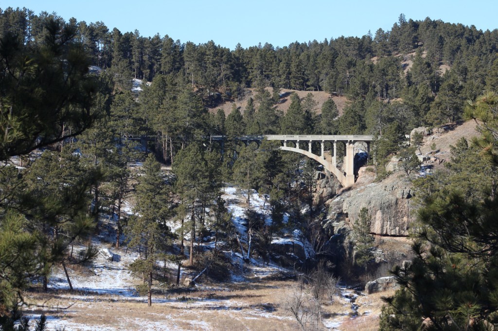
We have always loved the view of this bridge on Highway 87 over Beaver Creek.  There is also a wooden trestle “Pigtail Bridge” further down the road.

Peak Season

Summer

Hours

https://www.nps.gov/wica/planyourvisit/hours.htm

Fees

None for entry, but $12 per person for each cave tour ($30 for Wild Cave)

Road Conditions

The main roads are paved, but bison are most commonly spotted along Road 5, a graded dirt road through the scenic eastern section of the park bordering Custer State Park (admission fee).

Camping

The NPS runs Elk Mountain Campground or you can backpack camp with a free permit from the visitor center.  The surrounding Black Hills National Forest offers campgrounds and dispersed camping.

Related Sites

Jewel Cave National Monument (South Dakota)

Mount Rushmore National Memorial (South Dakota)

Badlands National Park (South Dakota)

This design we created to celebrate Wind Cave National Park is available on a variety of products at Cafe Press and Amazon.

Explore More – Wind Cave contains what percentage of the boxwork calcite formations discovered in the entire world?

We are a participant in the Amazon Services LLC Associates Program, an affiliate advertising program designed to provide a means for us to earn fees by linking to Amazon.com and affiliated sites.