Tag Archives: history

Lincoln Memorial

Overview

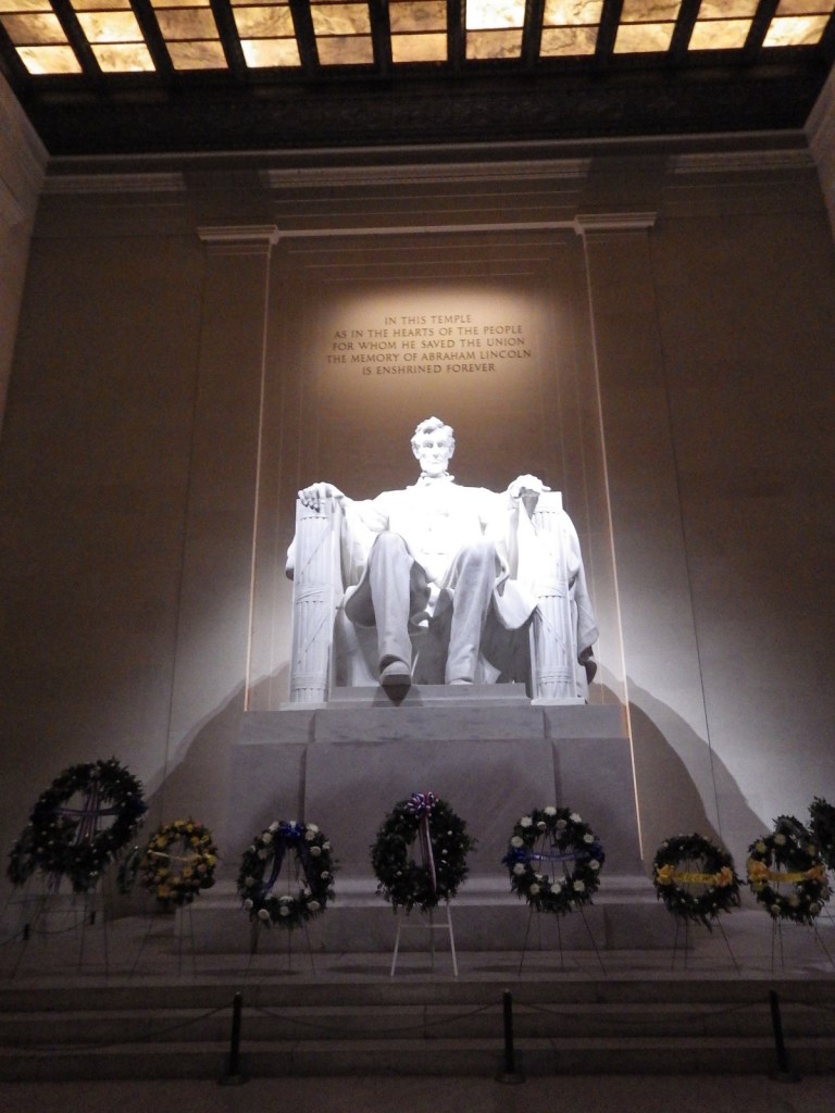
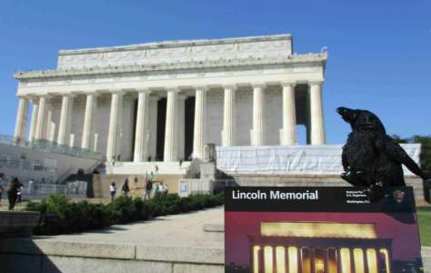
Abraham Lincoln has even more National Park Service (NPS) sites dedicated to him than Theodore Roosevelt (and both are carved into Mount Rushmore National Memorial).  The Lincoln Memorial at the west end of the National Mall in Washington D.C. is by far the busiest with around 7-million visitors annually.  President Lincoln will always have his place in history for issuing the Emancipation Proclamation during the Civil War.
Highlights

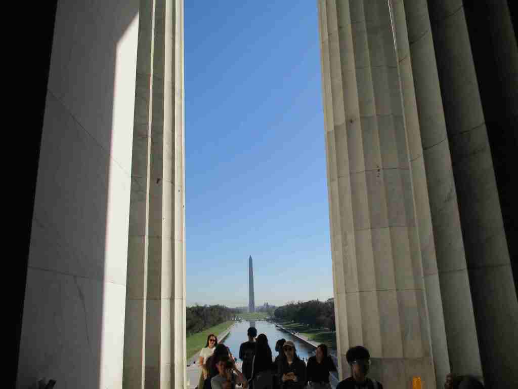
Bookstore, statue, view of the National Mall

Must-Do Activity

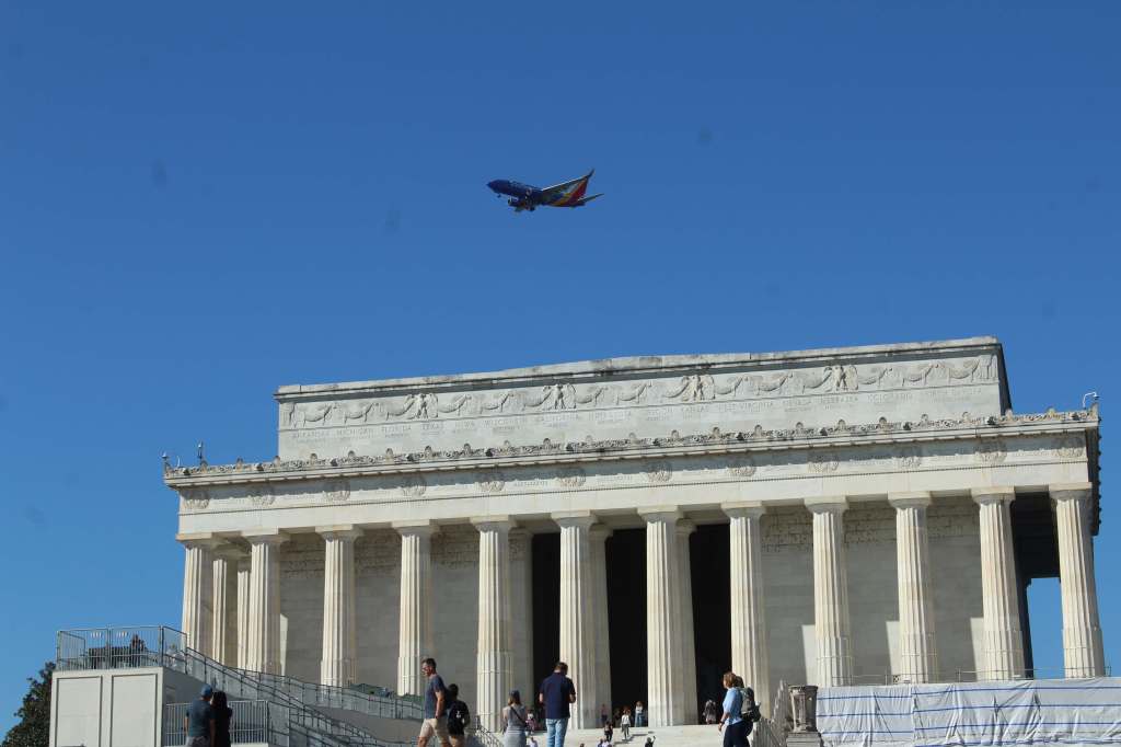
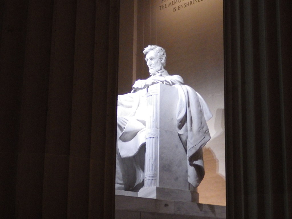
The Lincoln Memorial was inspired by Greek temples and features 36 Doric columns, a giant statue of the seated man, and two large murals.  Be sure to walk to either side of the statue to read two speeches: his Gettysburg Address of 1863 and his Inaugural Address of 1865.  We looked long and hard for a penny-crushing machine at the Lincoln Memorial.  We thought it would be awesome to have that building stamped onto a penny.

Best Trail

None

Instagram-worthy Photo

If you ever have the chance to visit the National Mall in Washington D.C., do yourself a favor and come after dark.  Seeing the white marble and limestone shining under spotlights is quite spectacular (but you might need a tripod for photographs).
Peak Season

Summer

Hours

https://www.nps.gov/linc/planyourvisit/hours.htm

Fees

None

Road Conditions

As with most NPS sites in Washington, D.C., it is easier to walk or take the Metro than find parking for your car.

Camping

There are no NPS campgrounds in the Washington, D.C., so it might be best to head for Shenandoah National Park in Virginia.

Related Sites

Ford’s Theatre National Historic Site (District of Columbia)

Vietnam Veterans Memorial (District of Columbia)

World War II Memorial (District of Columbia)

Nearest National Park

Shenandoah

Explore More – The Lincoln Monument Association was incorporated in 1867, but when was the Lincoln Memorial finally dedicated?
Muir Woods National Monument

Overview

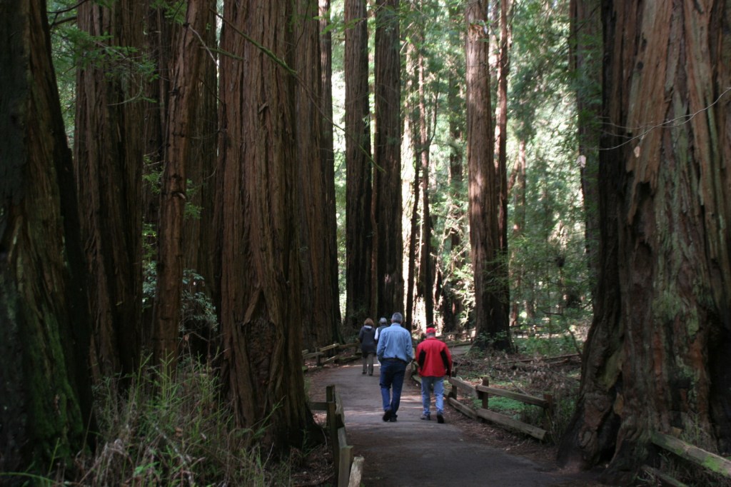
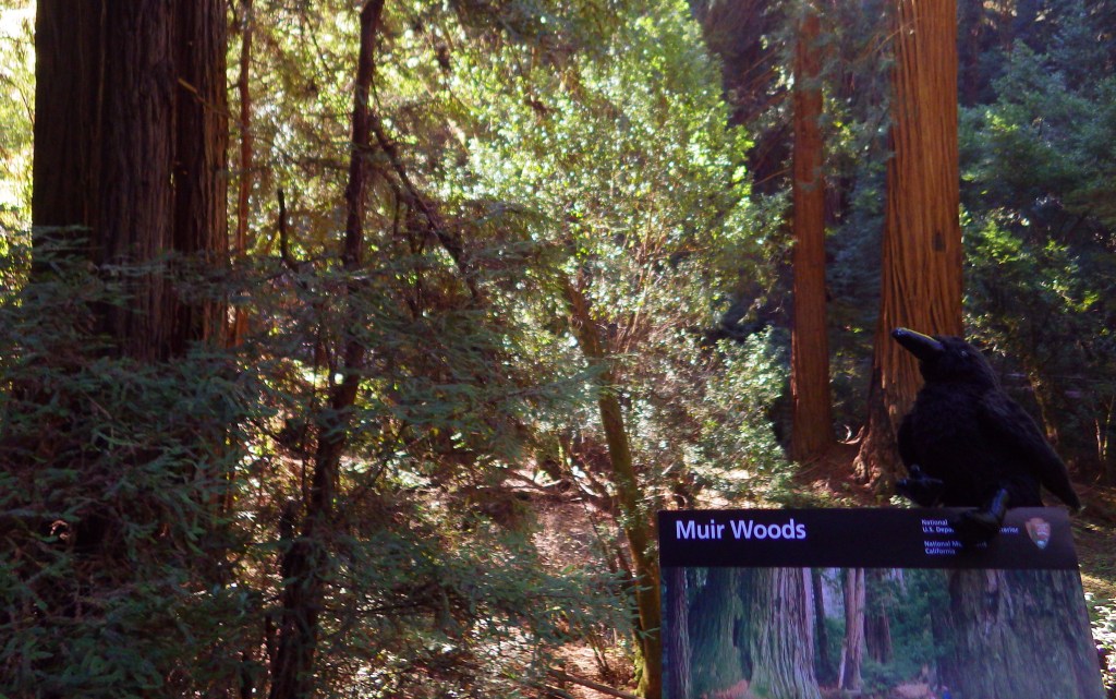
Named for passionate preservationist and Bay Area resident John Muir, this old-growth forest of coast redwood trees is a world away from the bustle of the city.  Originally established in 1908, the National Monument is administered by the National Park Service (NPS) as part of Golden Gate National Recreation Area.  It is located just south of Point Reyes National Seashore and here you can also access the coastline at nearby Muir Beach.

Highlights

Coast redwood trees, Redwood Creek Trail, Canopy View Trail, Muir Beach

Must-Do Activity

North of the Golden Gate Bridge, the San Francisco sprawl gives way to a rugged and idyllic landscape.  The twisty drive over the coastal mountains to 554-acre Muir Woods National Monument is part of the adventure.  There is a café and gift shop, plus the NPS operates a small bookstore, but not a museum at the site.  This small park receives an average of one-million visitors per year, so expect the trails to be crowded on weekends and sunny days.

Best Trail

There are only six miles of trails in the National Monument, but they connect with the extensive system in surrounding Mount Tamalpais State Park.  It is often foggy and always shady beneath these massive trees, so it is best to dress in layers.

Instagram-worthy Photo

The coast redwoods growing here are more than 250 feet tall, so hike up the aptly named Canopy View Trail to get a birds-eye view.

Peak Season

Summer

Hours

https://www.nps.gov/muwo/planyourvisit/hours.htm

Fees

$15 per person or America the Beautiful pass

Road Conditions

The winding access road is steep and narrow, so RVs over 35 feet in length are prohibited.

Camping

There are walk-in tent campsites at Mount Tamalpais State Park and backcountry campsites (permit required) at Point Reyes National Seashore.

Related Sites

John Muir National Historic Site (California)

Redwood National and State Parks (California)

Golden Gate National Recreation Area (California)

Explore More – Coast redwood is the tallest species in the world, requiring coastal fog to stay hydrated; how far inland do the trees naturally occur?

Salt River Bay National Historical Park and Ecological Preserve

Overview

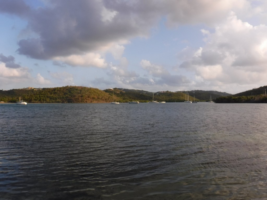
When the U.S. Virgin Islands chose a National Park Service (NPS) site for their quarter (see below) in the America the Beautiful coin collection they selected this undeveloped park, which we would rank worst of the five NPS units there.  Established in 1992, it contains the only place in the United States where Christopher Columbus’s men set foot 500 years ago (although that is now underwater).  The region is still recovering after Hurricanes Irma and Maria did extensive damage in 2017, including the removal of the NPS contact station here.

Highlights

Mangroves, bioluminescent bay

Must-Do Activity

On St. Croix Island, the NPS has exhibits about this park at Christiansted National Historic Site, including descriptions of the western hemisphere’s first violent resistance by natives to European encroachment in 1493.  The park is completely undeveloped, including the archaeological sites.  The must-do activity is a kayaking trip after dark to Mangrove Lagoon to see the bioluminescent organisms there.  Plan your trip around a new moon when the darkness helps them show up better.  Do not bother bringing your waterproof camera, since it is nearly impossible to capture on film.

Best Trail

None

Instagram-worthy Photo

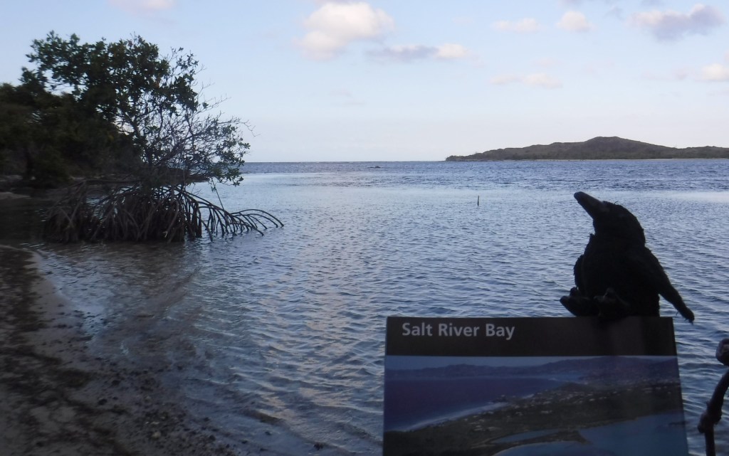
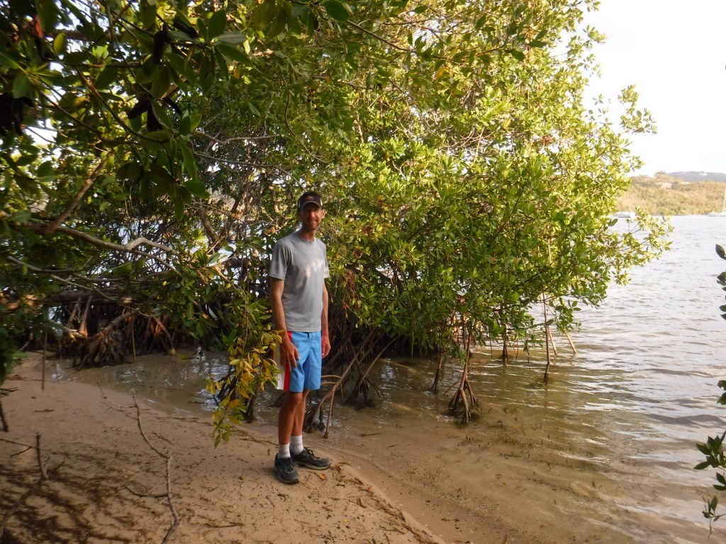
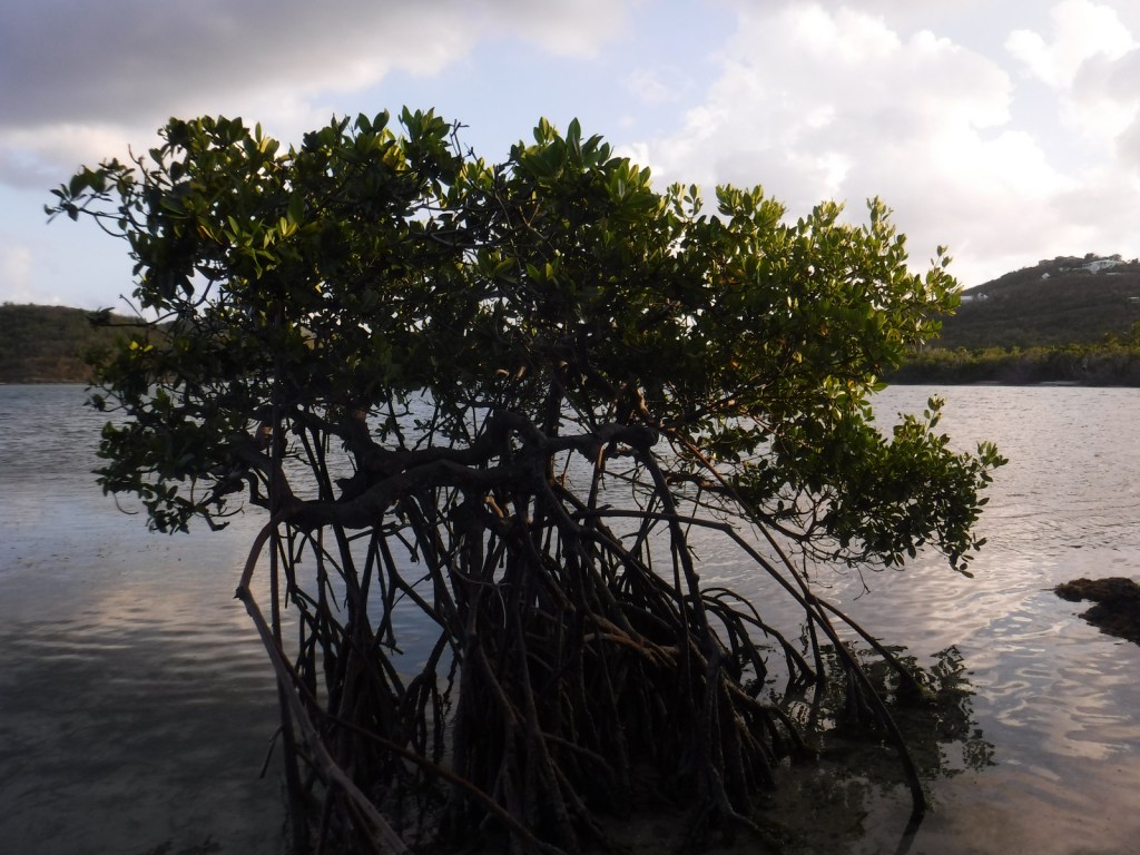
The long roots of mangroves help protect the shore from storm damage and provide a safe hiding place for small fish.

Peak Season

Spring

Hours

https://www.nps.gov/sari/planyourvisit/hours.htm

Fees

None, except for guided tours of the bioluminescent bay

Road Conditions

Access roads paved

Camping

There is no official campground, but locals have semi-permanent camps set up on the beach within Salt River Bay National Historical Park and Ecological Preserve and other parts of the island.  We found the best deals on St. Croix Island were available through Airbnb.

Related Sites

Buck Island Reef National Monument (U.S. Virgin Islands)

Christiansted National Historic Site (U.S. Virgin Islands)

Virgin Islands National Park (U.S. Virgin Islands)

Explore More – This park contains the only Taino ballcourt in the Caribbean built before Columbus’s arrival; when was it discovered?
We are a participant in the Amazon Services LLC Associates Program, an affiliate advertising program designed to provide a means for us to earn fees by linking to Amazon.com and affiliated sites.

Assateague Island National Seashore

Overview

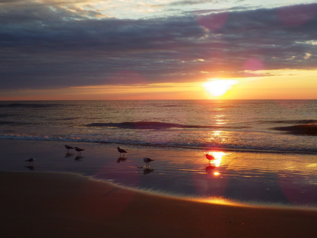
Assateague Island National Seashore was authorized in 1963, twenty years after neighboring Chincoteague National Wildlife Refuge was established to protect migratory birds, like the greater snow goose.  In combination with Assateague State Park they protect a 37-mile stretch of undeveloped shoreline that crosses the border of Maryland and Virginia (and is very close to Delaware).  The National Park Service (NPS) manages the National Seashore and the U.S. Fish and Wildlife Service manages the National Wildlife Refuge, but there is also an NPS visitor center at the refuge.

Highlights

Museum, film, Assateague Lighthouse, wildlife, kayaking, swimming, beachcombing

Must-Do Activity

Assateague Island’s most renowned residents are its wild ponies, purported to have swum ashore from a wrecked Spanish galleon.  Every year since the 1700s, the Chincoteague Volunteer Fire Company has herded the ponies that live on Assateague Island for an auction to raise funds for firefighting.  This annual event was chronicled in the classic children’s book Misty of Chincoteague by Marguerite Henry (which made our Top 10 NPS Novels list).  The ponies can often spotted by hikers on the Woodland Trail, a three-mile loop hike.  Nearby there is also a free NASA visitor center at Wallops Flight Facility where they launch rockets.

Best Trail

We mentioned the Woodland Trail above, but this park is all about walking the beach, especially the 10 miles of wild beach only accessible by foot within Chincoteague National Wildlife Refuge.

Instagram-worthy Photo

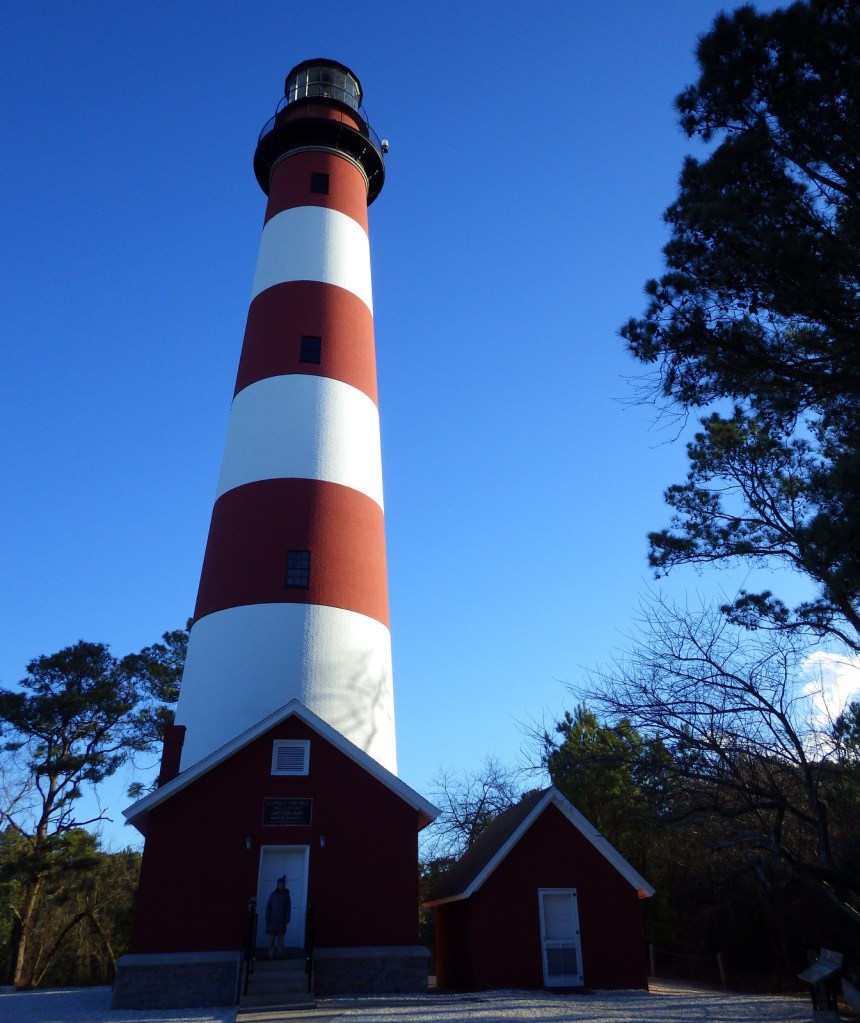
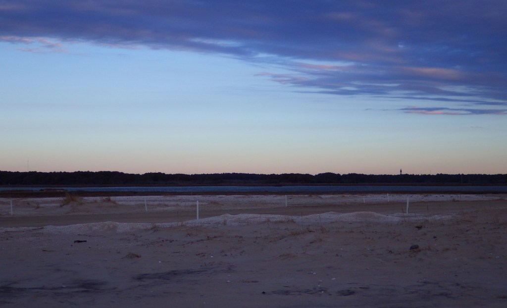
The first Assateague Lighthouse was built in 1833, while the structure seen today was completed in 1867.

Peak Season

Summer

Hours

https://www.nps.gov/asis/planyourvisit/hours.htm

Fees

$25 per vehicle or America the Beautiful pass

Road Conditions

The access roads are paved, but with a permit you can drive 13 miles of beach on the Maryland side and five miles on the Virginia side.  It takes about 1.2 hours to drive the highways between the north and south bridges to Assateague Island.

Camping

On the Maryland side, the NPS operates two campgrounds with cold showers, but the one in Assateague State Park offers hot showers.  Two oceanside backpacking camps and four bayside kayak-in camps are also available by permit.

Related Sites

Harriet Tubman Underground Railroad National Historical Park (Maryland)

First State National Historical Park (Delaware)

Cape Hatteras National Seashore (North Carolina)

Explore More – Not just a safe haven for wild ponies, where in the National Seashore do seahorses anchor to underwater grasses?

Frederick Law Olmsted National Historic Site

Overview

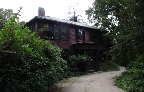
Frederick Law Olmsted, Sr. (1822-1903) is considered the founder of American landscape architecture.  His most famous designs include New York City’s Central Park and the Biltmore Estate in North Carolina, but he also created the protective ramada for Casa Grande Ruins National Monument in Arizona.  This seven-acre site outside Boston, Massachusetts was authorized in 1979 to preserve his house and the Olmsted Archives for future researchers.

Highlights

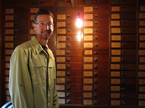
Museum, film, office tour, Olmsted Archives

Must-Do Activity

In 1883, Frederick Law Olmsted, Sr. moved to Brookline, Massachusetts to establish the world’s first landscape design office.  Self-guided exhibits and a short film inside his home (called Fairsted) are a good place to start before a ranger-guided tour of his office space full of historical artifacts and documents.  Occasionally, rangers lead tours of some of Olmsted’s parks in “The Emerald Necklace” of Boston.

Best Trail

There is a short path on the property and you can also walk to nearby Brookline Reservoir.

Instagram-worthy Photo

Relax on the veranda of Fairsted before or after your tour, which is especially nice when it is raining like during our visit.

Peak Season

Summer

Hours

https://www.nps.gov/frla/planyourvisit/hours.htm

Fees

None

Road Conditions

All roads are paved, but the parking lot is small and street parking in the surrounding neighborhood may be necessary.  It is a bit of a walk from the Brookline Hills Subway Station.

Camping

Wompatuck State Park south of Boston has the nearest large campground, but camping is also allowed in parts of Boston Harbor Islands National Recreation Area.

Related Sites

Boston National Historical Park (Massachusetts)

Adams National Historical Park (Massachusetts)

Longfellow House – Washington’s Headquarters National Historic Site (Massachusetts)

Explore More –Frederick Law Olmsted’s 1865 report was influential in the protection of which “crown jewel” of the National Park Service System?