Tag Archives: forest

Olympic National Park

Overview

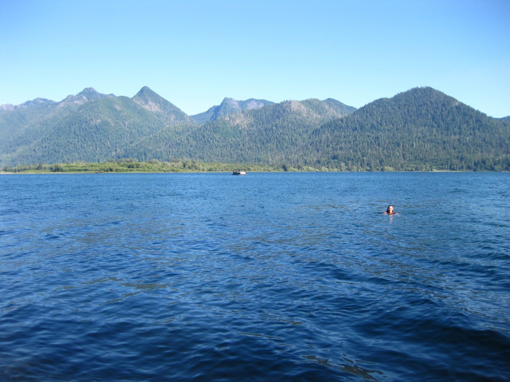
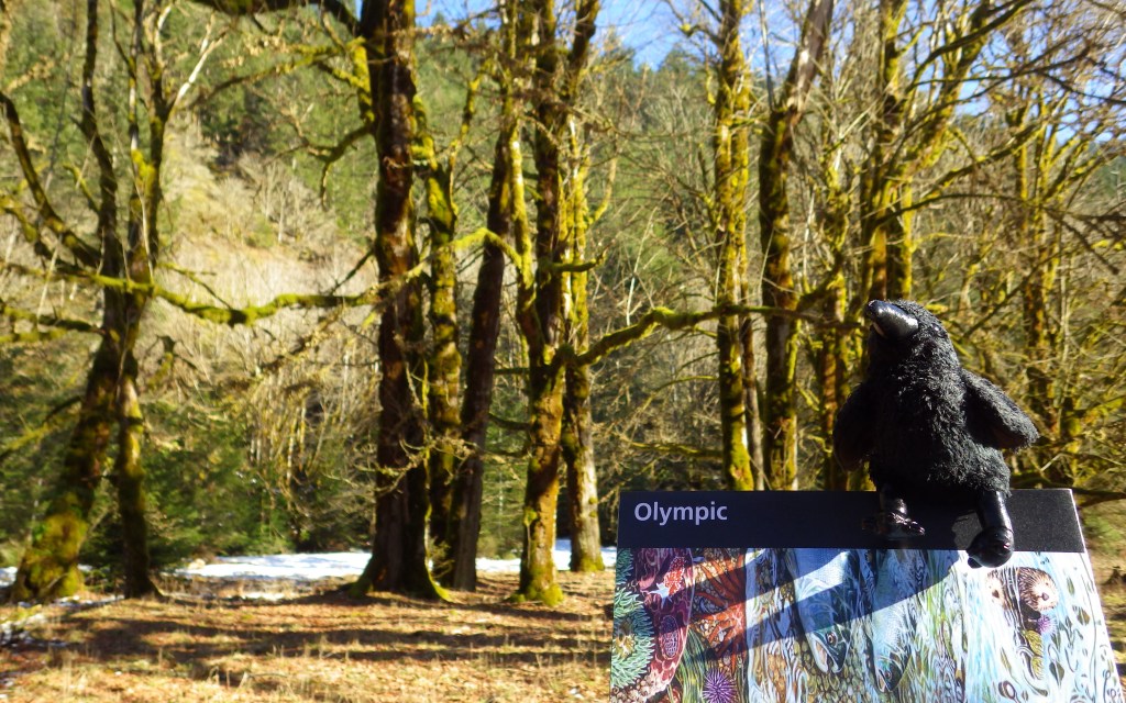
Rising from the Pacific Ocean to 7,980-foot tall Mount Olympus, western Washington’s Olympic National Park is arguably the most diverse National Park in the entire country.  Originally named as a National Monument in 1909 by President Theodore Roosevelt to protect his namesake Roosevelt elk, the area was almost named Elk National Park when upgraded in 1938. 

Learn more in our guidebook to the National Parks, A Park to Yourself: Finding Adventure in America’s National Parks (available on Amazon).
Highlights

Ruby Beach, Lake Quinault, Hoh Rainforest, Sol Duc Falls, Hurricane Ridge

Must-Do Activity

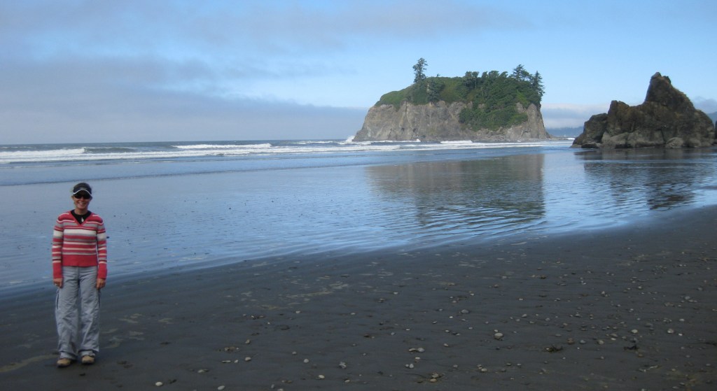
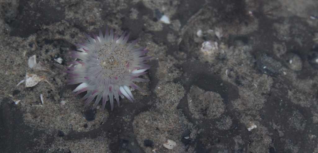
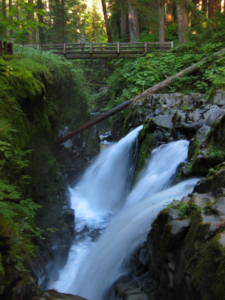
Visitors can explore tidepools at Ruby Beach (pictured in our logo below), soak at a hot springs resort after hiking around Sol Duc Falls, experience sweeping mountain vistas from Hurricane Ridge, and boat across picturesque Lake Crescent.

Best Trail

There are more than 600 miles of trails, but one of the quietest is on the north shore of Lake Quinault and leads to a huge, hollow western redcedar tree.

Instagram-worthy Photo

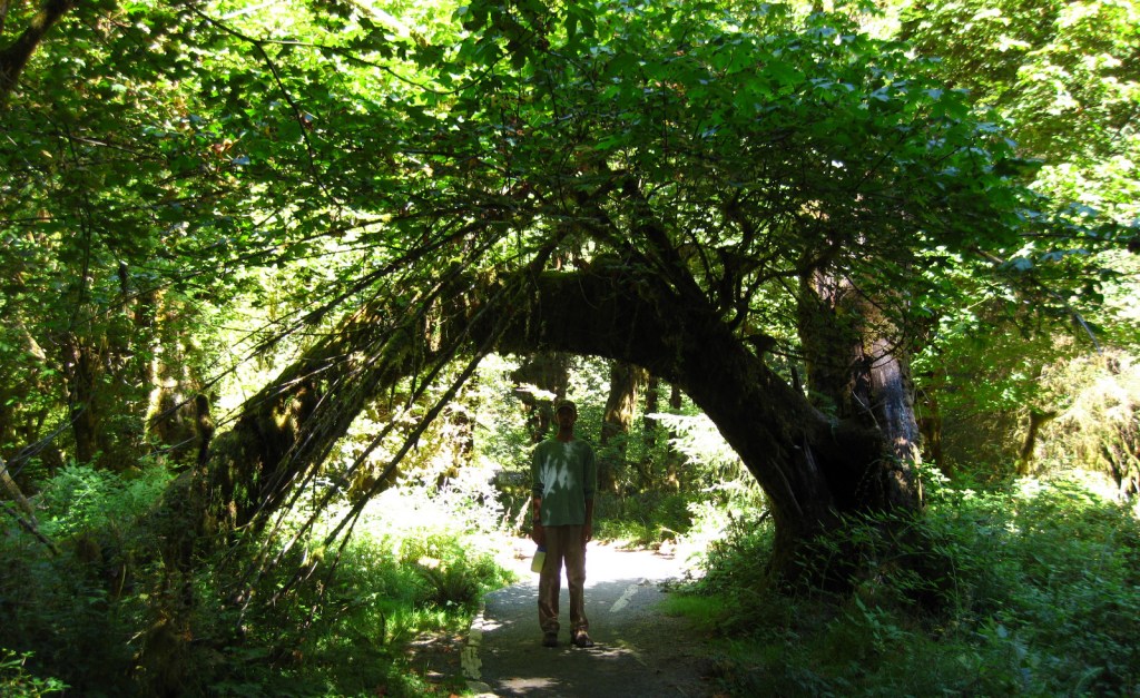
Discover the moss-draped Hoh Rainforest, which at 160 inches annually experiences the highest rainfall totals in the continental U.S.

Peak Season

Summer

Hours

https://www.nps.gov/olym/planyourvisit/hours.htm

Fees

$30 per vehicle or America the Beautiful pass

Road Conditions

All major roads are paved, but notably the road up to Hurricane Ridge is not open every day of the week in the offseason.

Camping

There are numerous campgrounds and four lodges, plus the historic Lake Quinault Lodge built in 1926 (and technically outside of the park).

Related Sites

Lewis and Clark National Historical Park (Oregon-Washington)

Ebey’s Landing National Historic Reserve (Washington)

Mount Rainier National Park (Washington)

This design we created to celebrate Olympic National Park is available on a variety of products at Cafe Press and Amazon.

Explore More – Although they are shrinking, how many glaciers are found in the Olympic Mountains?

We are a participant in the Amazon Services LLC Associates Program, an affiliate advertising program designed to provide a means for us to earn fees by linking to Amazon.com and affiliated sites.
Yosemite National Park

Yosemite National Park

California

Managed by National Park Service

Established 1890

747,956 acres

Website: nps.gov/yose

Overview

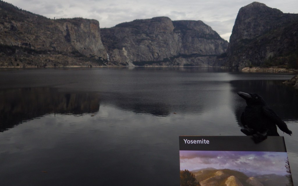
Given its 4-million annual visitors, it can be hard to practice social distancing at Yosemite National Park.  In the summer, it can even be difficult to find parking in bustling Yosemite Valley.  The legendary valley is home to El Capitan and Half Dome, rock formations known around the world, as well as countless waterfalls.  There are places to find solitude in the popular park, though.

Know someone who loves National Parks? Gift them our travel guide A Park to Yourself: Finding Solitude in America’s 63 National Parks. 

Highlights

Yosemite Valley, Glacier Point, Tuolumne Meadows, Mariposa Grove

Must-Do Activity

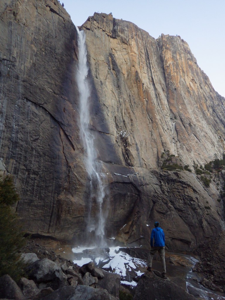
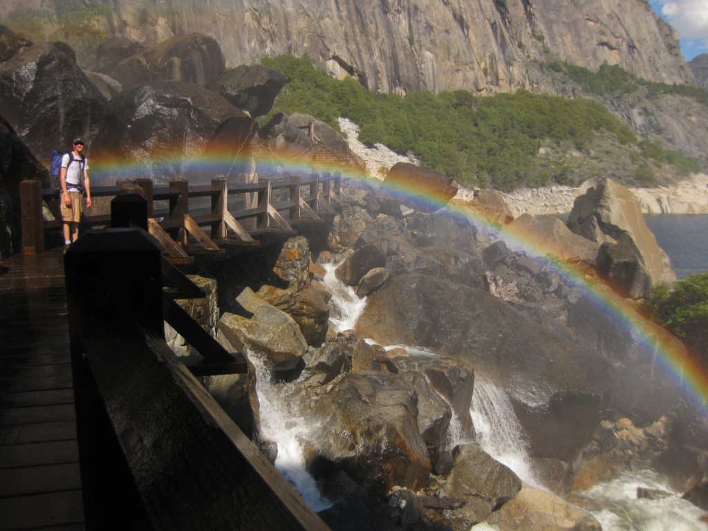
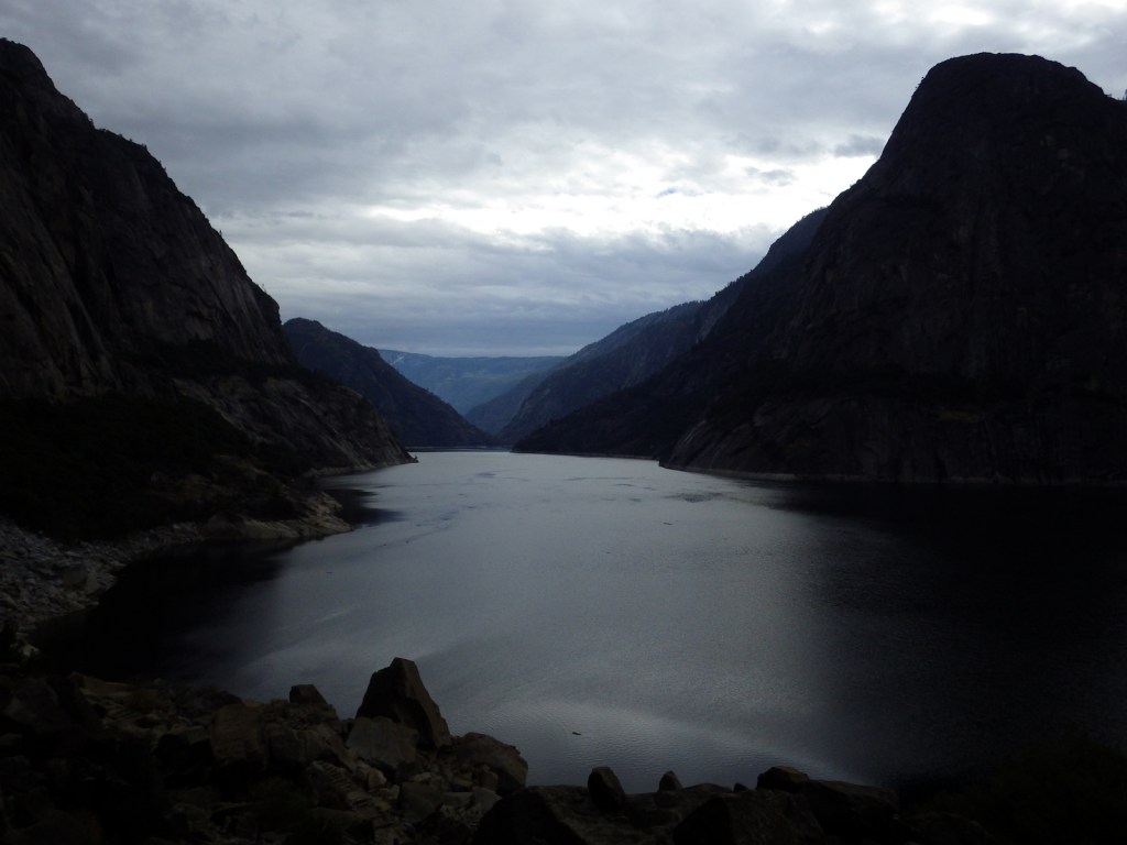
When entering Yosemite Valley on Highway 41 from the south, your first sight of the valley is stunning upon emerging from a long tunnel.  You simply have to stop at the iconic Tunnel View parking area.  Although the forest here is denser than in the past, the scene has not changed much since President Lincoln signed the bill to preserve this area in 1864.  While the Yosemite Valley can get incredibly busy during peak tourist season, hike a mile up a trail and you might find a solitary place to enjoy one of the numerous waterfalls.

Best Trail

Formerly a paved tram route, the trail through the Mariposa Grove of giant sequoia trees is a major highlight outside Yosemite Valley.  We especially enjoyed snowshoeing there in the winter.

Instagram-worthy Photo

From May to November, you can drive up to Glacier Point for great views into Yosemite Valley from the cliffs above.  We chose this overlook for our original logo of Yosemite National Park (see below).

Peak Season

Summer

Hours

https://www.nps.gov/yose/planyourvisit/hours.htm

Fees

$35 per vehicle or America the Beautiful pass

Road Conditions

All roads are paved, even the one that goes over 9,945-foot high Tioga Pass, which crosses the Sierra Nevada and is closed in the winter (as is Glacier Point Road, though it remains open to cross-country skiers).

Camping

There are multiple campgrounds within the park and some take reservations, but there are no RV hookups except outside the park.

Related Sites

Sequoia National Park (California)

Devils Postpile National Monument (California)

Whiskeytown National Recreation Area (California)

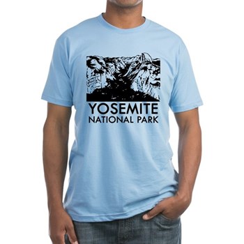
This design we created to celebrate Yosemite National Park is available on a variety of products at Cafe Press and Amazon.

Explore More – John Muir wrote extensively about the Yosemite Valley and Sierra Nevada, but many of his readers do not know he was an immigrant to America; in what country was he born?

Know someone who loves National Parks? Gift them our travel guide A Park to Yourself: Finding Solitude in America’s 63 National Parks. 

Haleakalā National Park

Overview

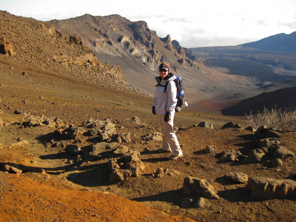
On the tropical island of Maui, Haleakalā National Park is accessible by two memorable roads.  One road climbs from sea level up to 10,023 feet overlooking Haleakalā Crater, which has almost no vegetation.  To the east, a lush tropical rainforest thrives in the Kīpahulu District located at the end of the winding road to Hana.  Both districts offer great hiking opportunities and free campgrounds. There is much more information about this park in our National Park guidebook, available on Amazon.

Highlights

Haleakalā Crater, Sliding Sands Trail, Hosmer Grove, ‘Ohe‘o Gulch pools, Waimoku Falls

Must-Do Activity

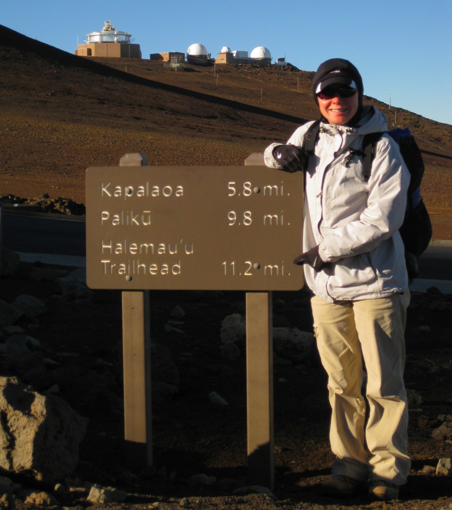
The thing to do at Haleakalā National Park is drive up the curvy entrance road in the pitch dark to catch a sunrise from 10,000 feet.  Haleakalā translates to “the house of the sun” so it is kind of a big deal here.  It is like a party atmosphere in the chilly air waiting for the guest of honor.  Of course, we were up there one morning, though we thought the sunsets were prettier and much less crowded.  Several tours drive visitors to the summit for sunrise then provide bicycles to coast back down the switchbacks outside the park boundaries.

Best Trail

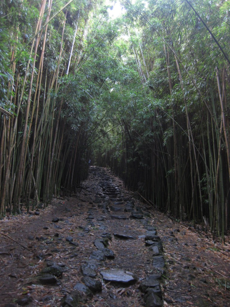
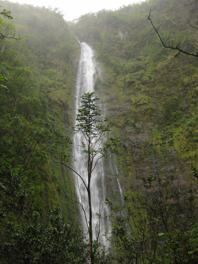
In the Kīpahulu District, we hiked the two-mile Pipiwai Trail to the 400 foot cascades of Waimoku Falls in a steady downpour.   The trail offers some protection from rain under sprawling banyan trees and incredibly dense bamboo thickets.  Like many of the plant and animal species found throughout Hawai‘i, the banyan and bamboo are not native to the islands, but have thrived on this isolated landmass 2,400 miles from the nearest continent. 

Instagram-worthy Photo

Silversword (‘ahinahina) plants grow all along the Sliding Sands Trail that accesses the bottom of the 2,000 foot deep crater.

Peak Season

Year round, though summer might be slightly warmer at 10,000 feet in elevation.

Hours

https://www.nps.gov/hale/planyourvisit/hours.htm

Fees

$30 per vehicle or America the Beautiful pass

Road Conditions

All roads are paved, but the road to the summit is full of switchbacks and bicyclists.  The curvy road to Hana is well known for its one-lane bridges, of which we counted 53 before we reached the Kīpahulu District.

Camping

The two National Park Service campgrounds here are free, a big savings in a place that can be expensive to visit.  There is a lottery for three hike-in cabins and permits available for wilderness backpacking campsites.

Related Sites

Kalaupapa National Historical Park (Hawai‘i)

Hawai‘i Volcanoes National Park (Hawai‘i)

Kaloko-Honokōhau National Historical Park (Hawai‘i)

This design we created to celebrate Haleakalā National Park is available on a variety of products at Cafe Press.

Explore More – How much annual precipitation does the Kīpahulu District receive (making it one of the wettest places on Earth)?

We are a participant in the Amazon Services LLC Associates Program, an affiliate advertising program designed to provide a means for us to earn fees by linking to Amazon.com and affiliated sites.

Big Thicket National Preserve

Overview

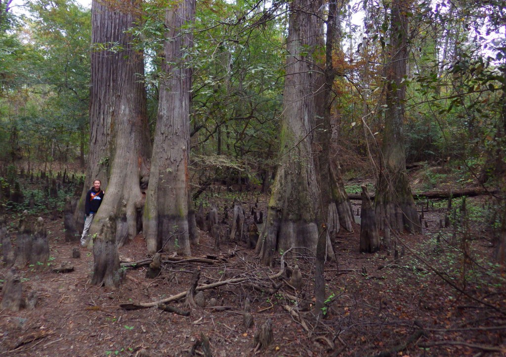
When most people think of Texas they do not think of the bayou, but since 1974 this unique ecosystem and eight others were preserved in several units in the southeastern portion of the state.  The Big Thicket once covered 3.5-million acres, however, now only 112,000 acres is protected by the National Park Service (NPS) in 15 remnant sections.  Here you can also discover longleaf pine savannah, saltwater estuaries, and wetlands harboring carnivorous plants.  Understandably, the region is noted for its high biodiversity, highlighted by 85 tree species, 20 orchids, and wildlife as dissimilar as alligators and roadrunners.

Highlights

Kirby Nature Trail, Pine Island Bayou, Cooks Lake Paddling Trail, Neches River, birding

Must-Do Activity

We recommend you start by learning about the nine different ecosystems within the preserve at the NPS visitor center located eight miles north of Kountze, Texas.  The best way to get to know Big Thicket National Preserve is on the water.  Motorboats are allowed in most units, but paddling is preferred for exploring the shallow bayous.  Lined with baldcypress trees, Pine Island Bayou is best explored by kayak or canoe, as is the Cooks Lake Paddling Trail (a five mile loop).  It is also possible to float the park’s 80 miles of the Neches River depending upon the amount of water released from B.A. Steinhagan Lake.

Best Trail

There are 40 miles of hiking trails, but it may be best to start with the Kirby Nature Trail near the NPS visitor center in Kountze, Texas.  Also located in the Turkey Creek Unit, the short Pitcher Plant Trail is best in the spring when the carnivorous plants bloom in the wet savanna.

Instagram-worthy Photo

Inside the NPS visitor center located eight miles north of Kountze, Texas, you can pose with a giant-sized pitcher plant model.

Peak Season

Fall and spring to avoid peak mosquito season.

Hours

https://www.nps.gov/bith/planyourvisit/hours.htm

Fees

None

Road Conditions

The main access roads are paved, but some boat launches may be dirt.

Camping

The NPS offers free backcountry permits, but the nearest campgrounds are at Village Creek State Park and B.A. Steinhagan Lake (managed by the U.S. Army Corps of Engineers).

Related Sites

Jean Lafitte National Historical Park and Preserve (Louisiana)

Big Cypress National Preserve (Florida)

Everglades National Park (Florida)

Explore More – In addition to pitcher plants, how many other carnivorous plant species are found in Big Thicket National Preserve?

Hopewell Furnace National Historic Site

Overview

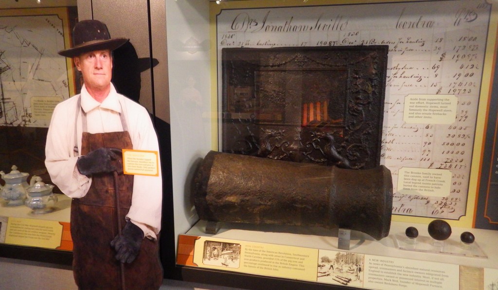
In Hopewell, Pennsylvania, the proximity of iron ore, limestone, and charcoal led to this iron furnace’s success from 1771 to 1883.  It also needed water from French Creek to run the air blast machinery allowing the furnace to reach smelting temperature.  During the American Revolution, it produced cannon, shot, and shells for the Continental Navy.  The 848-acre National Historic Site was authorized in 1938, making it one of the oldest in the nation.

Highlights

Anthracite furnace, film, cast house, tenant houses, ironmaster’s mansion, Bethesda Church

Must-Do Activity

Start with the short film at the visitor center, then take the self-guided walk through the “iron plantation.”  Though the cold-blast charcoal process became outdated by 1883, the original furnace is still used each summer to produce aluminum products.  Other costumed interpreters depict village life from late June to Labor Day.  In September and October, visitors can pick 30 varieties of apples in the orchards for a small fee, similar to Capitol Reef National Park in Utah.

Best Trail

The site’s 12 miles of forested trails also connect into the neighboring French Creek State Park.

Instagram-worthy Photo

Inside the cast house, moulders cast molten iron into stove plates, cannonballs, and other products.

Peak Season

Summer and apple picking season

Hours

https://www.nps.gov/hofu/planyourvisit/hours.htm

Fees

None, but “you pick” apples cost $1 per pound

Road Conditions

Access roads are paved

Camping

French Creek State Park has more than 200 campsites with access to running water and showers.

Related Sites

Saugus Iron Works National Historic Site (Massachusetts)

Valley Forge National Historical Park (Pennsylvania)

Independence National Historical Park (Pennsylvania)

Explore More – How high of a temperature could the Hopewell Furnace reach when smelting?