Tag Archives: forest

Ninety Six National Historic Site

Overview

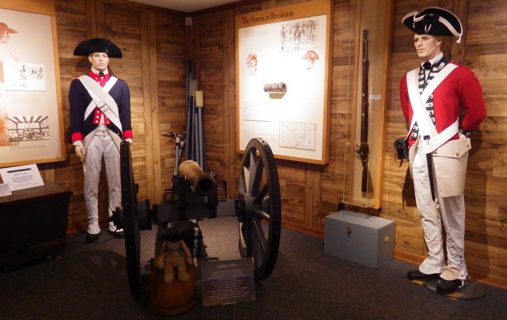
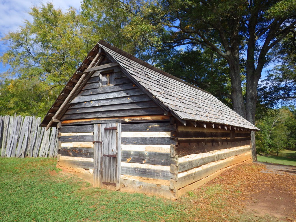
Ninety Six was a bit of a misnomer for this 18th-century trading village in South Carolina.  It was estimated at the time to be 96 miles from a major Cherokee village, but was actually closer to 78.  Then again, Seventy Eight does not have the same ring to it, does it?  A small stockade built around a barn survived two attacks by Cherokees in the 1750s, then during the American Revolution the town fell into British hands after a battle on November 19, 1775.  They proceeded to build a star-shaped earthen fort that was partially reconstructed in the 1970s.

Highlights

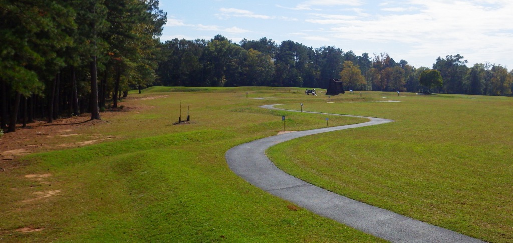
Reconstructed Revolutionary War earthen fort, museum, film

Must-Do Activity

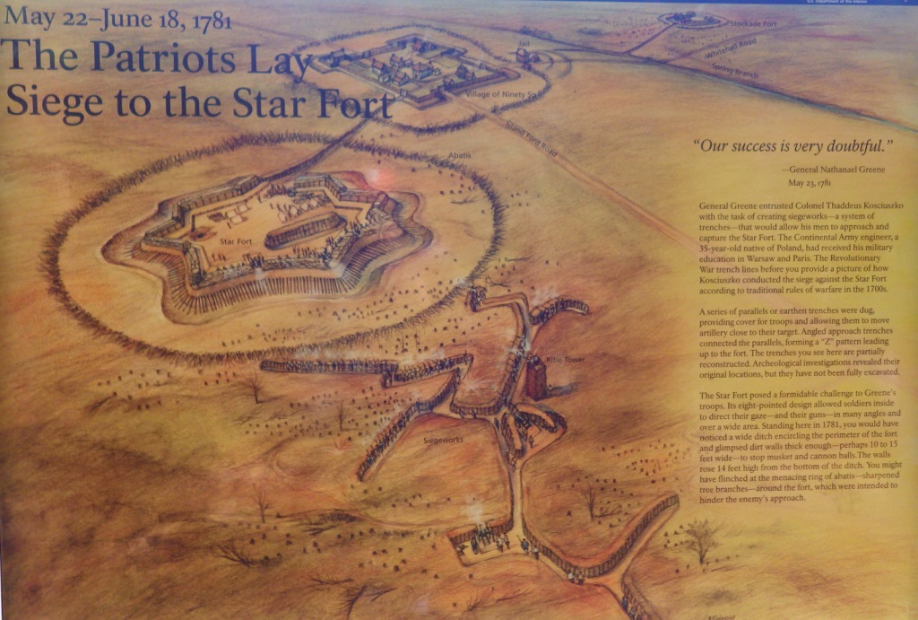
In 1781, six year after the town fell into British hands, a month-long Patriot siege led by General Nathanael Greene failed, but the Patriots abandoned their underground tunneling when they learned of British reinforcements arriving.  The British wound up retreating to Charleston anyway and burning the town behind them.  Ninety Six never fully recovered and remained undeveloped, which allowed archaeologists in the 1970s to rediscover the old tunnels and zigzag trenches designed by Colonel Thaddeus Kosciuszko. 

Best Trail

With interpretive pamphlet in hand, you can get a good idea of Colonel Thaddeus Kosciuszko’s strategy from atop the observation platform built along the one-mile self-guided trail.  The park also contains the 27-acre Star Fort Pond, which is accessible by road or the Cherokee Path Trail from the visitor center.

Instagram-worthy Photo

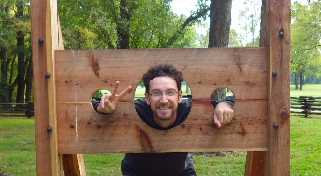
This is the only National Park Service site we know of where visitors are encouraged to brandish a musket.  They also have a pillory to pose in.

Peak Season

Spring and fall, since it can be very hot in the summer with little shade.

Hours

https://www.nps.gov/nisi/planyourvisit/hours.htm

Fees

None

Road Conditions

Access road paved

Camping

Greenwood State Recreation Area has a campground on a lake about nine miles north.

Related Sites

Cowpens National Battlefield (South Carolina)

Fort Sumter and Fort Moultrie National Historical Park (South Carolina)

Thaddeus Kosciuszko National Memorial (Pennsylvania)

Explore More – Who was Robert Gouedy and why was he significant in the history of Ninety Six?

Oregon Caves National Monument and Preserve

Overview

In the remote southwest corner of Oregon, this marble cave system has been federally protected since 1909.  The Civilian Conservation Corps (CCC) worked extensively on the trail system and chateau-style lodge in the 1930s.  In 2014, an additional 4,000 acres were added to preserve the surrounding old-growth forests, the most biodiverse conifer-dominated ecosystem in the world.

Know someone who loves exploring new National Monuments? Gift them our book Monumental America: Your Guide to All 138 National Monuments that is available for sale on Amazon.com.
Highlights

Cave tours, Oregon Caves Chateau, Big Tree, Mt. Elijah

Must-Do Activity

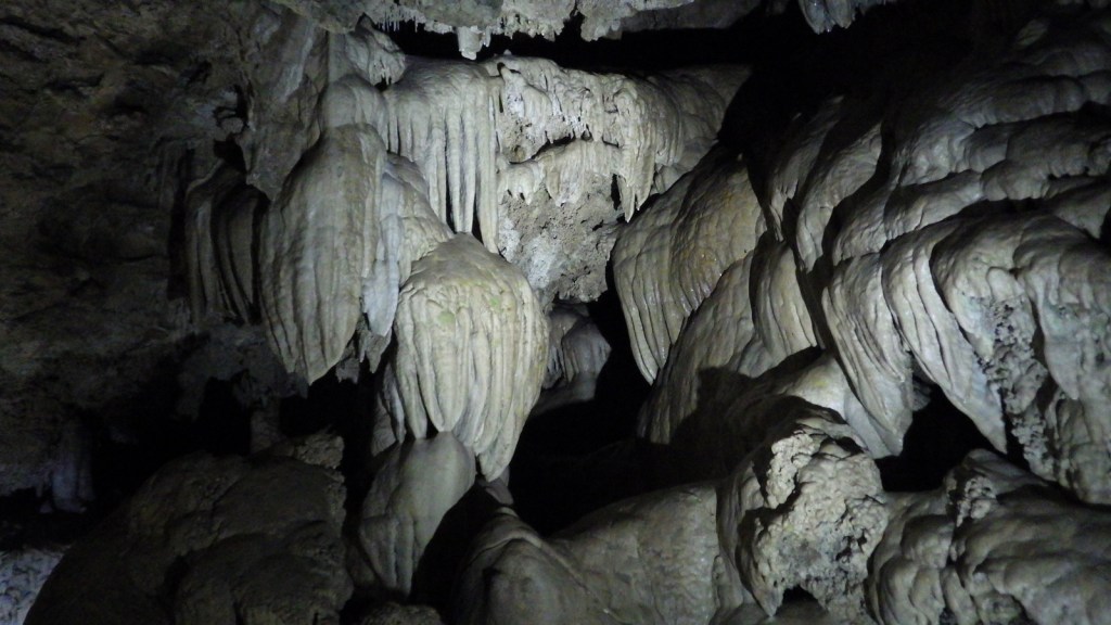
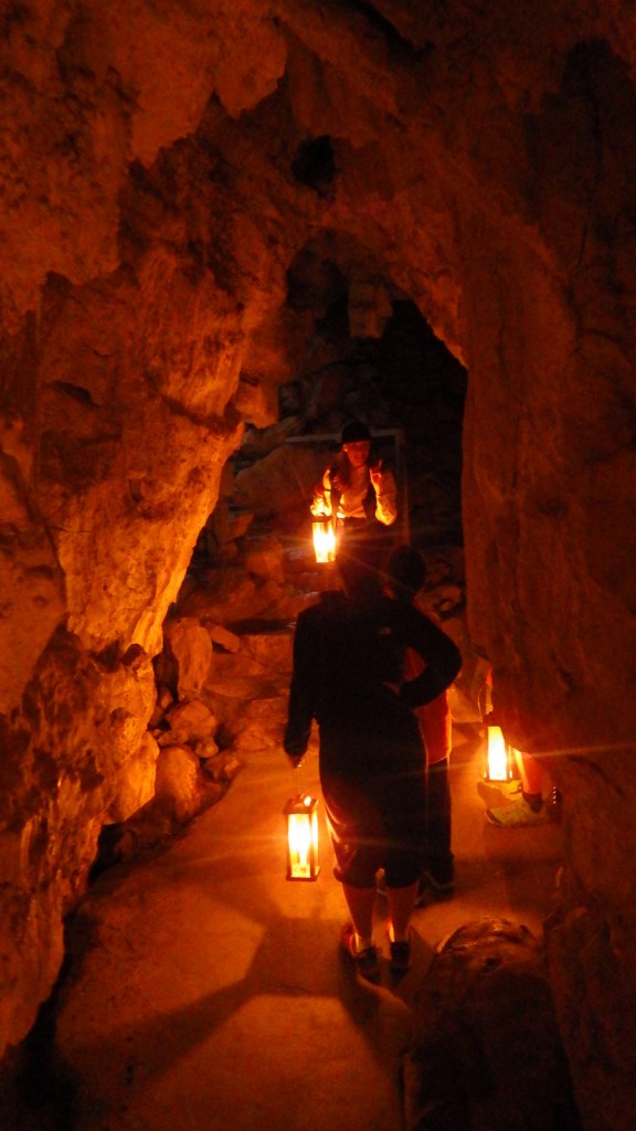
The Oregon Caves Chateau is currently closed for renovation, but is scheduled to reopen to guests in 2021.  That means the main reason to visit is to take a tour inside the cave, but bundle up because it remains a brisk 44°F year round.  The standard tour is 90 minutes, has a height requirement of 42 inches, and includes 500 stairs, which can be strenuous at 4,000 feet in elevation.  In the summer, a candlelight tour, off-trail “wild caving” tour, and family-friendly tour (for those with small children) are also offered.

Best Trail

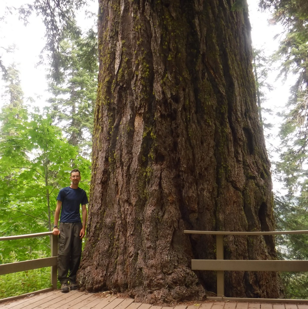
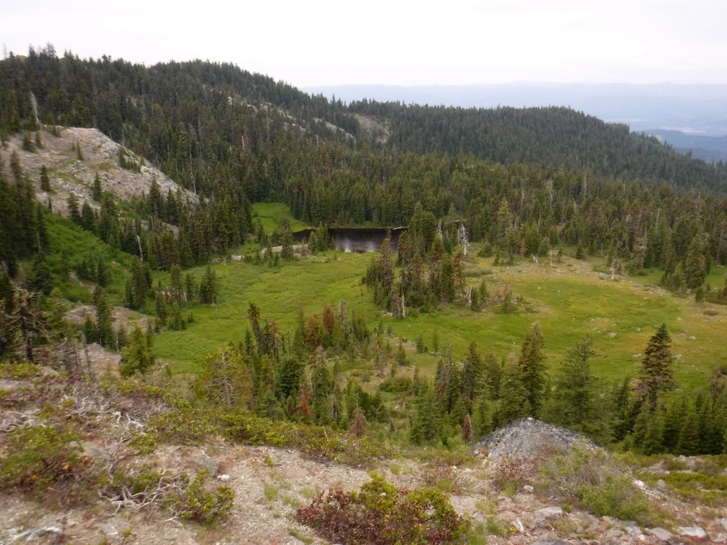
The Bigelow Lakes-Mt. Elijah Loop Trail covers 9.2 miles and gains 2,390 feet in elevation while providing the best views of the surrounding mountains.  At a minimum, you should try to hike the Big Tree Trail 2.6 miles roundtrip to the largest diameter Douglas-fir tree in Oregon.

Instagram-worthy Photo

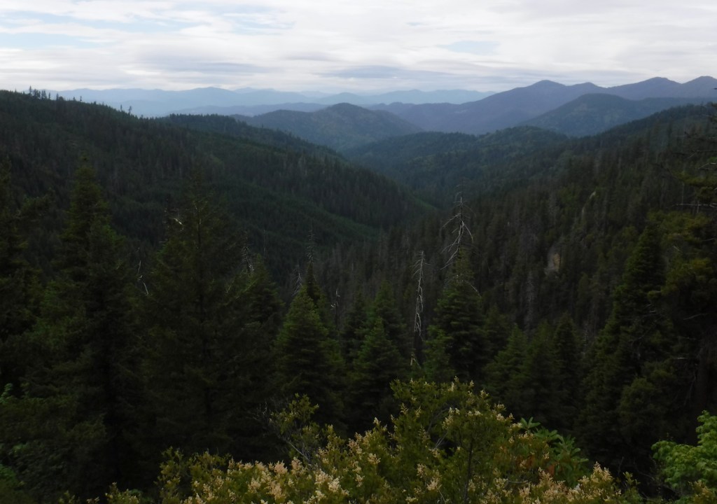
After your cave tour exits far uphill from its entrance, continue on the Cliff Nature Trail for a great view of the lush Siskiyou Mountains.

Peak Season

Summer, since cave tours are only offered from late March through November.

Hours

https://www.nps.gov/orca/planyourvisit/hours.htm

Fees

There is no entrance fee to the park, but there is a charge for all cave tours (which can be reserved in advance).

Road Conditions

The paved entry road is winding and climbs steeply.  Most surrounding Forest Service roads are unpaved and one climbs to provide access near the top of the Bigelow Lakes-Mt. Elijah Loop Trail.

Camping

Cave Creek Campground is located 4 miles from the cave entrance.  Trailers are only permitted at Grayback Campground, further down the hill.

Related Sites

John Day Fossil Beds National Monument (Oregon)

Newberry National Volcanic Monument (Oregon)

Fremont National Forest (Oregon)

Nearest National Park

Crater Lake

Explore More – Which native conifer tree provided the siding for the Oregon Caves Chateau?

Learn more about the other 137 National Monuments in our book Monumental America: Your Guide to All 138 National Monuments

Florissant Fossil Beds National Monument

Overview

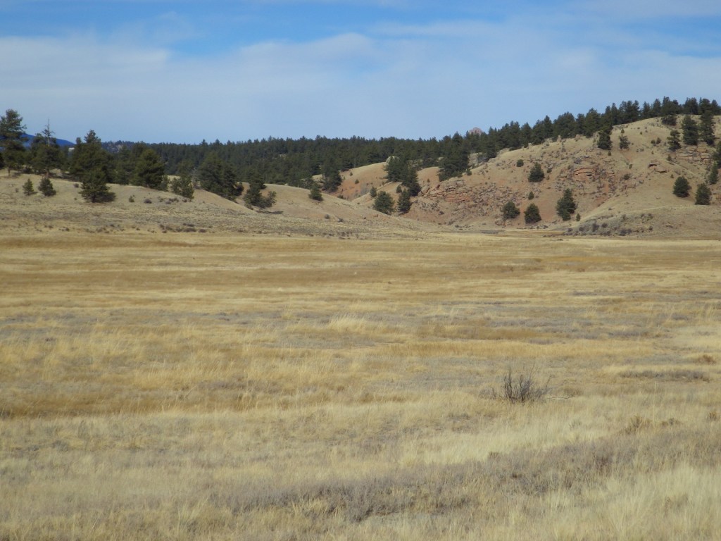
Like John Day Fossil Beds in Oregon, this area in central Colorado protects a geologically significant window into the past.  Here the fossils are 34-million years old, buried by volcanic debris and lake sediments, with species that do not look that different from plants and animals we see today. 

Highlights

Museum, Ponderosa Loop, Petrified Forest Loop, Big Stump, Hornbek Homestead

Must-Do Activity

A variety of butterflies, birds, leaves, and flowers are nicely displayed in the visitor center.  Our favorite was the bloom of Florissantia speirii, an extinct member of the cocoa family that grew at this site when the climate was much warmer and wetter.  After exploring the museum, head outside on the wheelchair-accessible Ponderosa Loop or hike some of the monument’s 14 miles of trails.

Best Trail

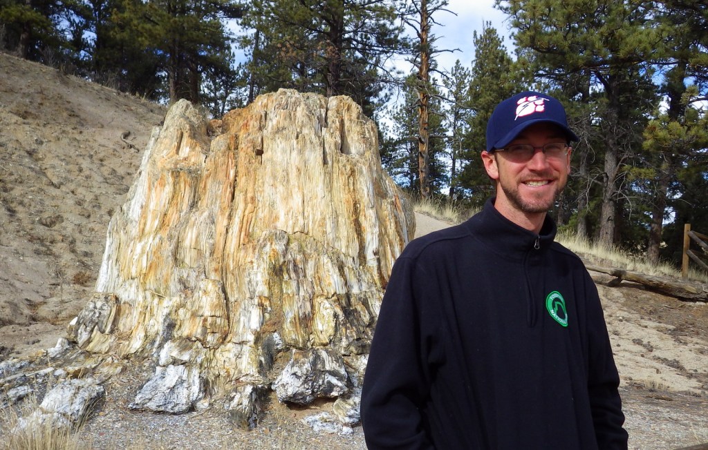
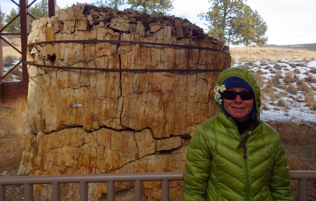
Take a walk on the Ponderosa or Petrified Forest Loops to see excavated stumps of massive redwood trees, fossilized in place with beautifully colored minerals replacing the original organic compounds.  You can even see annual growth rings preserved in the petrified wood.  If you have not experienced the massive dimensions of coast redwoods in California, these stumps will make you want to visit those living trees in person.

Instagram-worthy Photo

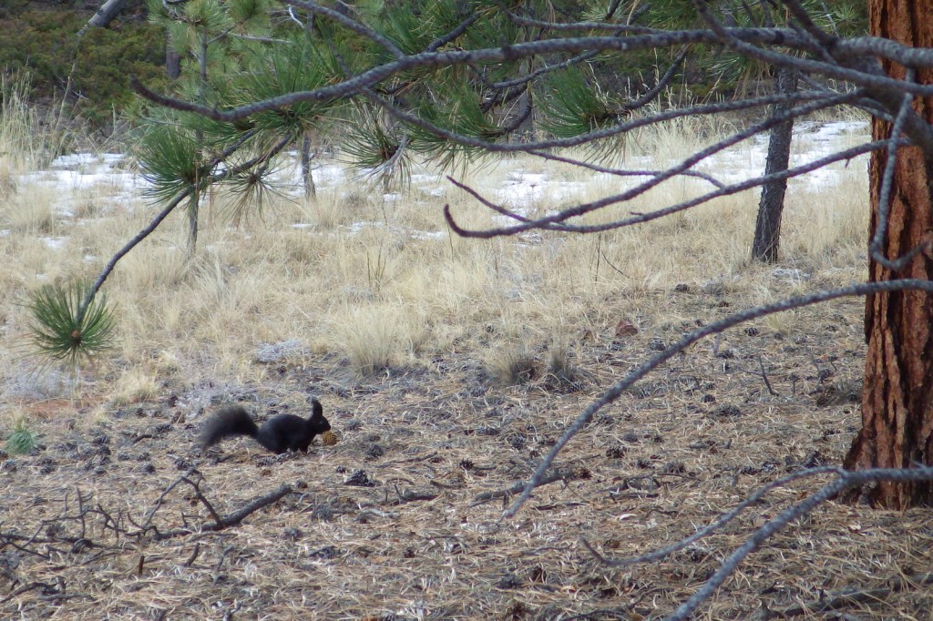
On your walk through the ponderosa pine forest, you may spot an Abert’s squirrel, a species known for its long ear tufts.  Also watch for elk.

Peak Season

Summer due to high elevation

Hours

https://www.nps.gov/flfo/planyourvisit/hours.htm

Fees

$10 per adult or America The Beautiful pass

Road Conditions

The main roads are paved, but Upper Twin Rock Road is not.

Camping

None within the National Monument, but there are several campgrounds in the surrounding Pike National Forest, as well as dispersed camping opportunities.

Explore More – At the bottom of Ancient Lake Florissant, the microlayers of fine volcanic ash and clay formed what type of sedimentary rock?

Devils Postpile National Monument

Overview

Originally managed as part of Yosemite National Park, this monument was established in 1911 to protect it from demolition by dam builders.  It is only 798 acres, so it can easily feel crowded; therefore we recommend getting an early or late start when the shuttles from Mammoth Lakes, California are not running.

Highlights

Devils Postpile, Rainbow Falls, Minaret Falls

Must-Do Activity

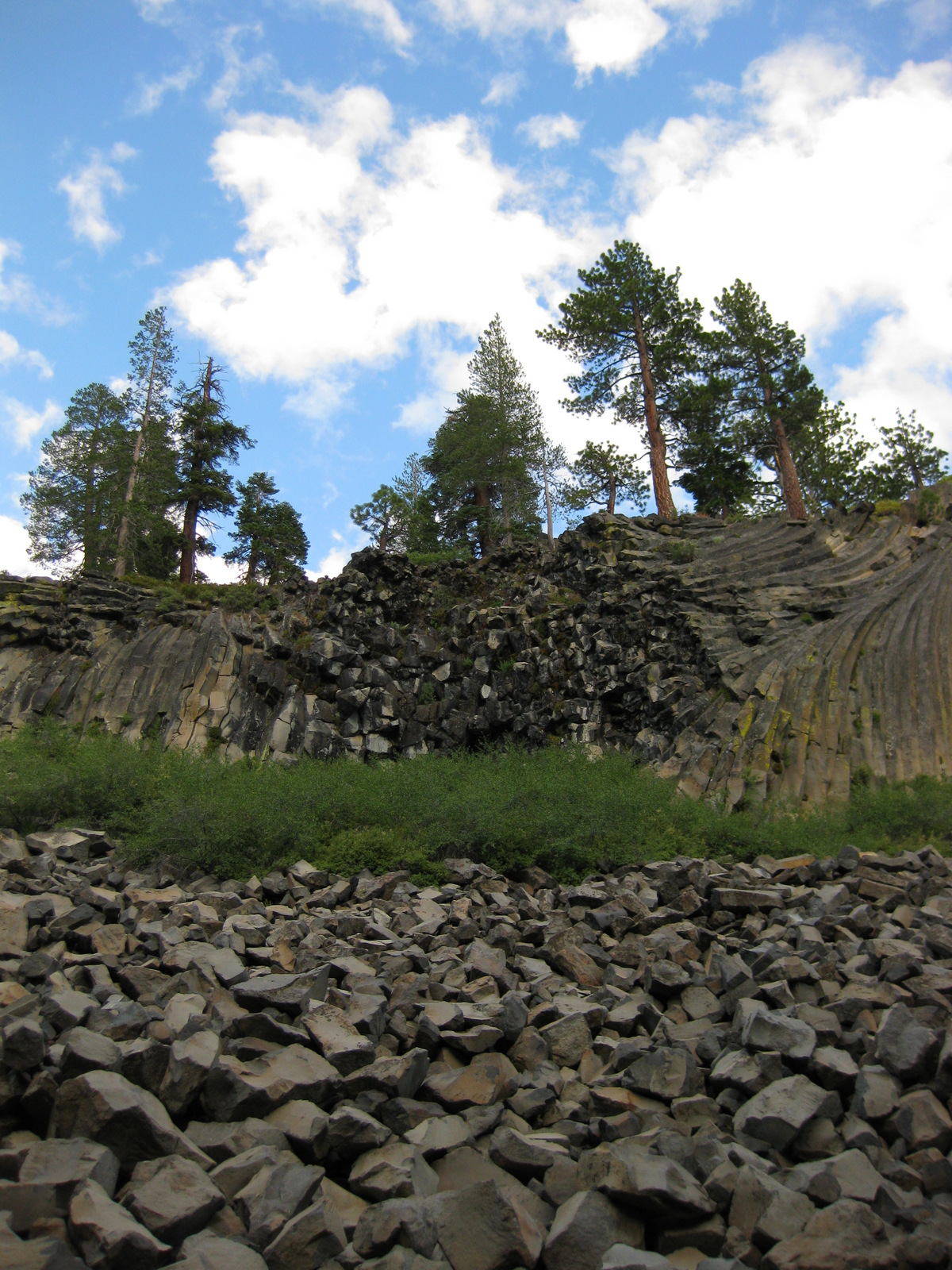
Devils Postpile National Monument is named for a 60-foot tall wall of columnar basalt formed by a volcanic eruption that occurred less than 100,000 years ago.  These interesting columns are one to three feet in diameter and more than half are hexagonal in shape. 

Best Trail

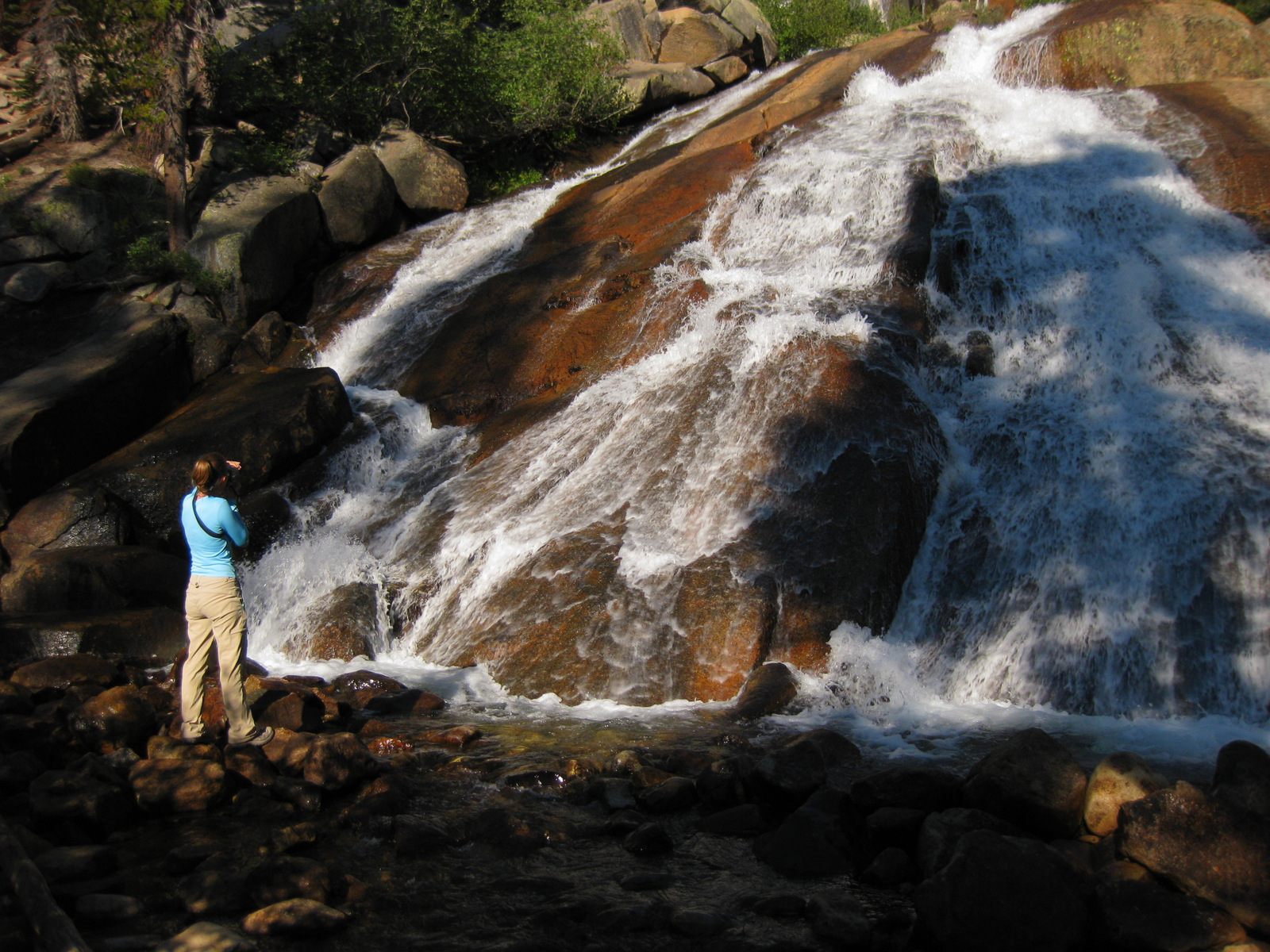
The Pacific Crest National Scenic Trail runs through the monument, but just outside its boundaries in Inyo National Forest is a 3-mile round trip hike to pretty Minaret Falls.

Instagram-worthy Photo

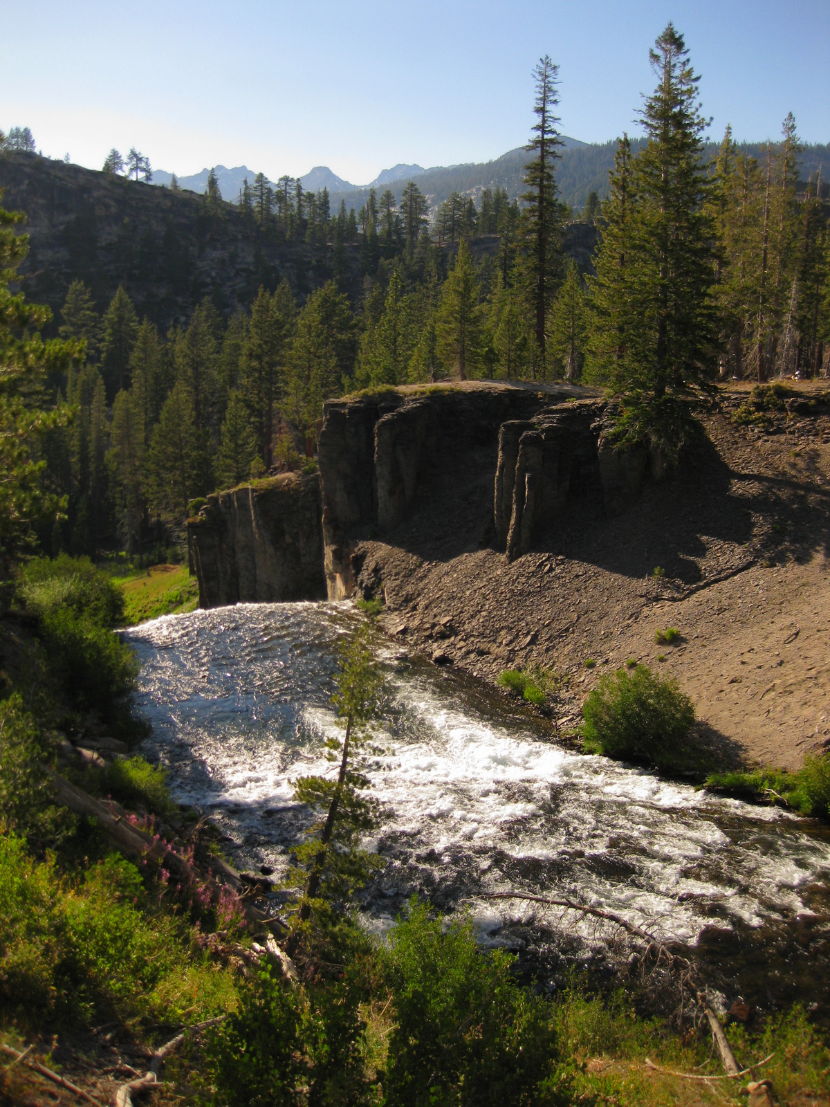
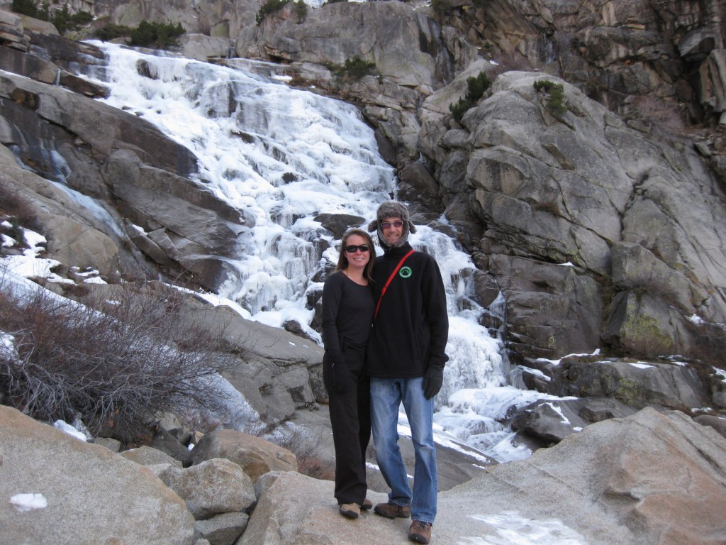
A short 1.3-mile roundtrip hike takes you to 101-foot-high Rainbow Falls, which usually lives up to its name and is one of the most stunning waterfalls we have ever seen. 

Peak Season

Due to high snowfall in the Eastern Sierra, it is generally only open from June through October. 

Hours

https://www.nps.gov/depo/planyourvisit/hours.htm

Fees

$20 per vehicle or America The Beautiful pass, but most visitors have to pay $8 per person for a shuttle bus to enter the monument.

Road Conditions

You are only allowed to drive your own vehicle down the narrow access road if you are staying at Reds Meadow Resort or the Inyo National Forest campground.  Otherwise, you must pay to take a shuttle from Mammoth Lakes, California. 

Camping

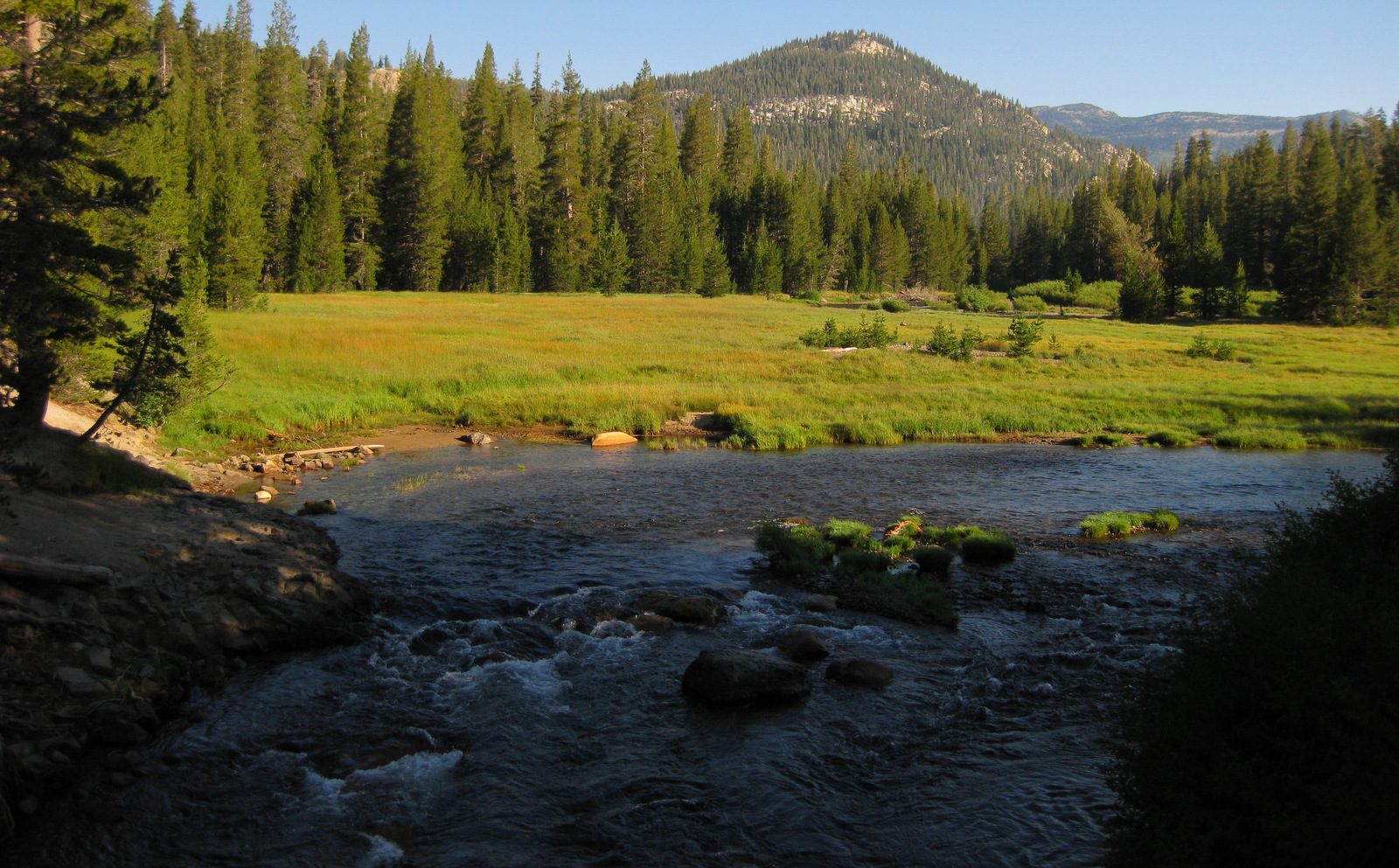
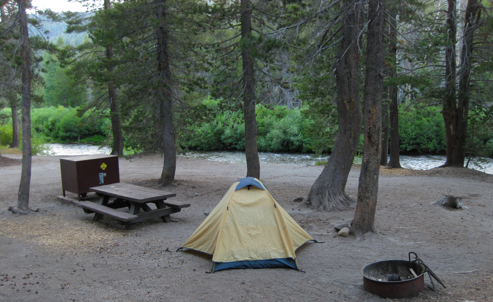
A 21-site campground is located near the National Monument and many others outside Mammoth Lakes, California in Inyo National Forest, where dispersed camping is also allowed in some places.

Explore More – How did glaciers help expose the Devils Postpile formation 10,000 years ago?

Sequoia National Park

Sequoia National Park

California

Managed by National Park Service

Established 1890

404,064 acres

Website: nps.gov/seki

Overview

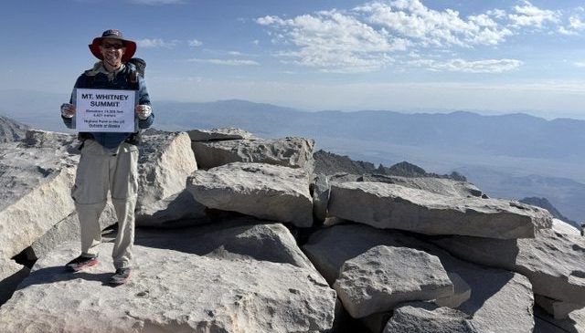
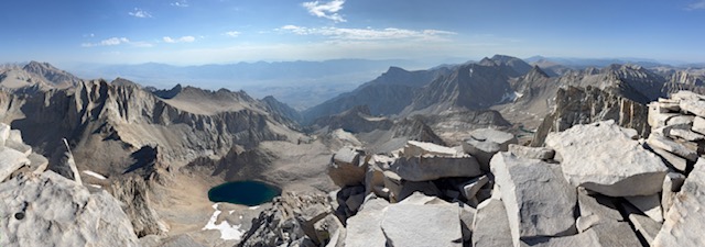
In 1890, Sequoia became the second National Park in the United States in order to protect its famous groves of giant sequoia trees, not to be mistaken for California’s coast redwoods.  The park’s hub in the Giant Forest contains the General Sherman tree, the largest by volume in the world.  Most of the park is in the High Sierra and includes Mt. Whitney, the highest point in the contiguous U.S. at 14,505 feet.  It is comanaged with Kings Canyon National Park.

Know someone who loves National Parks? Gift them our travel guide A Park to Yourself: Finding Solitude in America’s 63 National Parks

Highlights

General Sherman Tree, Moro Rock, Crystal Cave, Mt. Whitney

Must-Do Activity

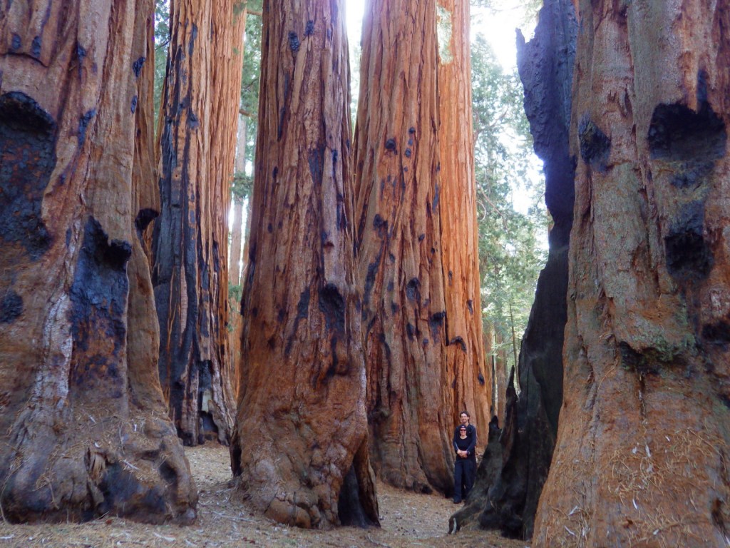
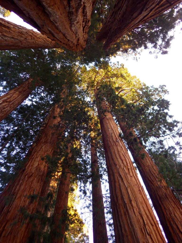
The remarkable giant sequoia tree can live over 2,000 years, reach three hundred feet in height, and grow the largest wood volume of any single-stemmed tree on the planet.  They are only found in 75 protected groves scattered throughout California’s Sierra Nevadas.  Bring your whole family to see how many people it takes arms linked to reach around the base of one of these massive trees.  With circumferences reaching over 100 feet, you are going to need a big family! 

Best Trail

Crescent Trail starts near the General Sherman tree, winds up the hill, and then connects with the Trail of the Sequoias, which passes the dense clusters of the Senate and House Groups.  It is especially nice when there is snow on the ground.

Instagram-worthy Photo

Any time of year is great to visit, but the winter is perhaps the prettiest as the snow contrasts nicely with the orange bark of the giant sequoia trees.

Peak Season

Summer due to the high elevation

Hours

https://www.nps.gov/seki/planyourvisit/hours.htm

Fees

$35 per vehicle or America The Beautiful pass

Road Conditions

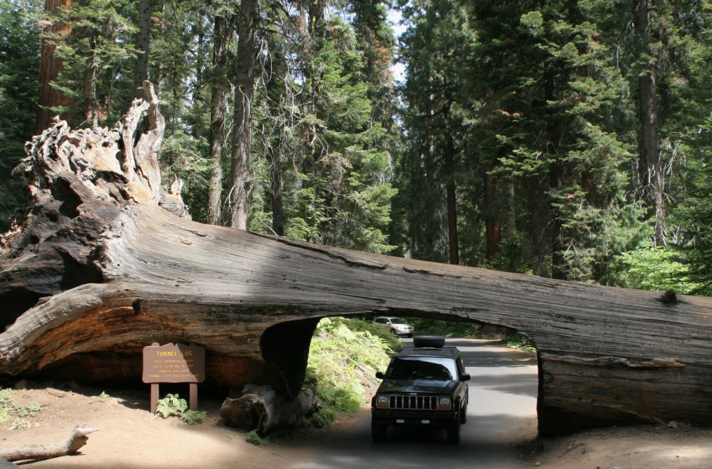
Roads are paved, but steep, winding, and narrow.  The rough Mineral King Road is closed in winter.

Camping

There are several large campgrounds near the Giant Forest, as well as two on the rough road to the remote Mineral King section of the park.  All backcountry camping requires a permit and is on a quota system during the summer.

Related Sites

Yosemite National Park (California)

Giant Sequoia National Monument (California)

Kings Canyon National Park (California)


This design we created to celebrate Sequoia National Park is available on a variety of products at Cafe Press and Amazon.

Explore More – Why do park rangers recommend you wrap your car with chicken wire when you visit Mineral King?

Know someone who loves National Parks? Gift them our travel guide A Park to Yourself: Finding Solitude in America’s 63 National Parks