Tag Archives: fishing

Upper Delaware Scenic and Recreational River

Overview

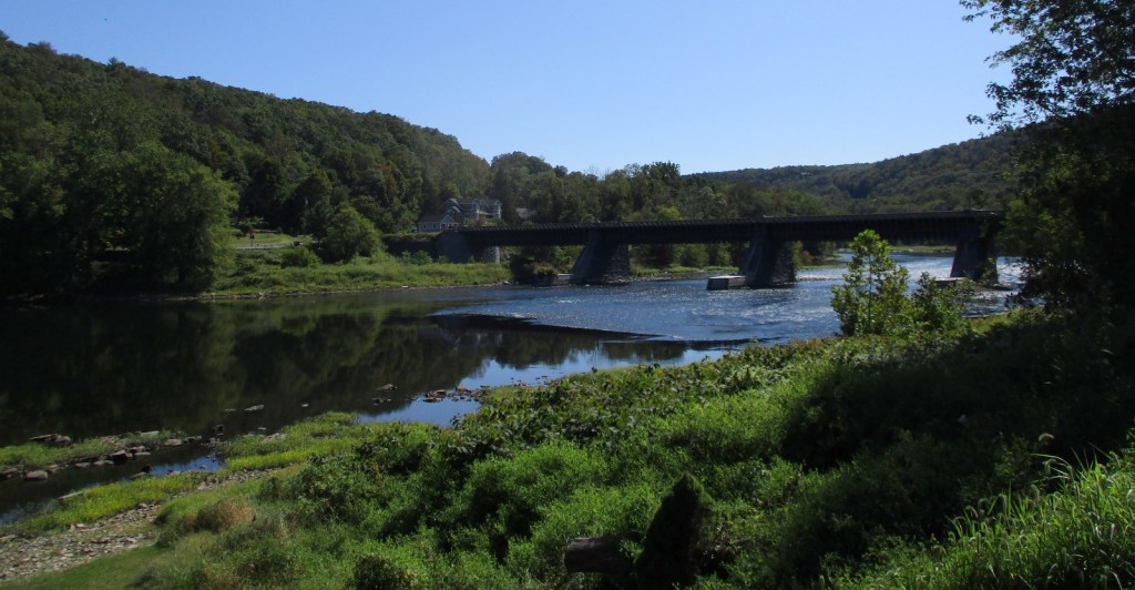
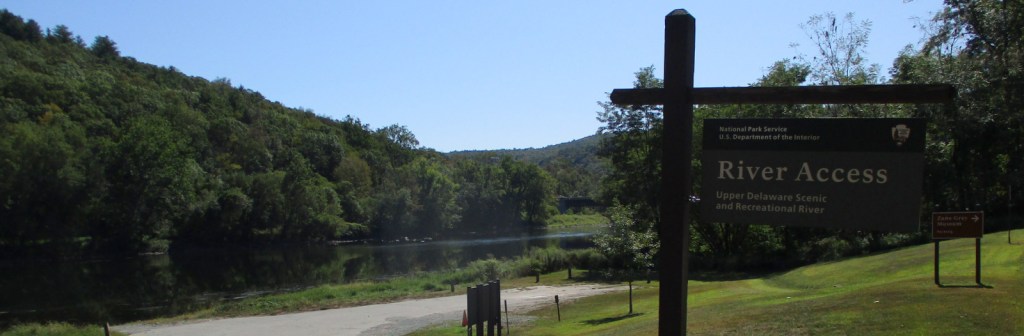
Authorized in 1978, this 73-mile stretch of the Upper Delaware River is the longest free-flowing river in the northeast United States.  Forming the Pennsylvania-New York borderline, only 30 of its 55,575 acres are federally owned.  Upper Delaware Scenic and Recreational River is one of 43 designated National Wild and Scenic Rivers, 10 of which are managed by the National Park Service (NPS).

Highlights

Zane Grey Museum, Roebling Aqueduct, fishing

Must-Do Activity

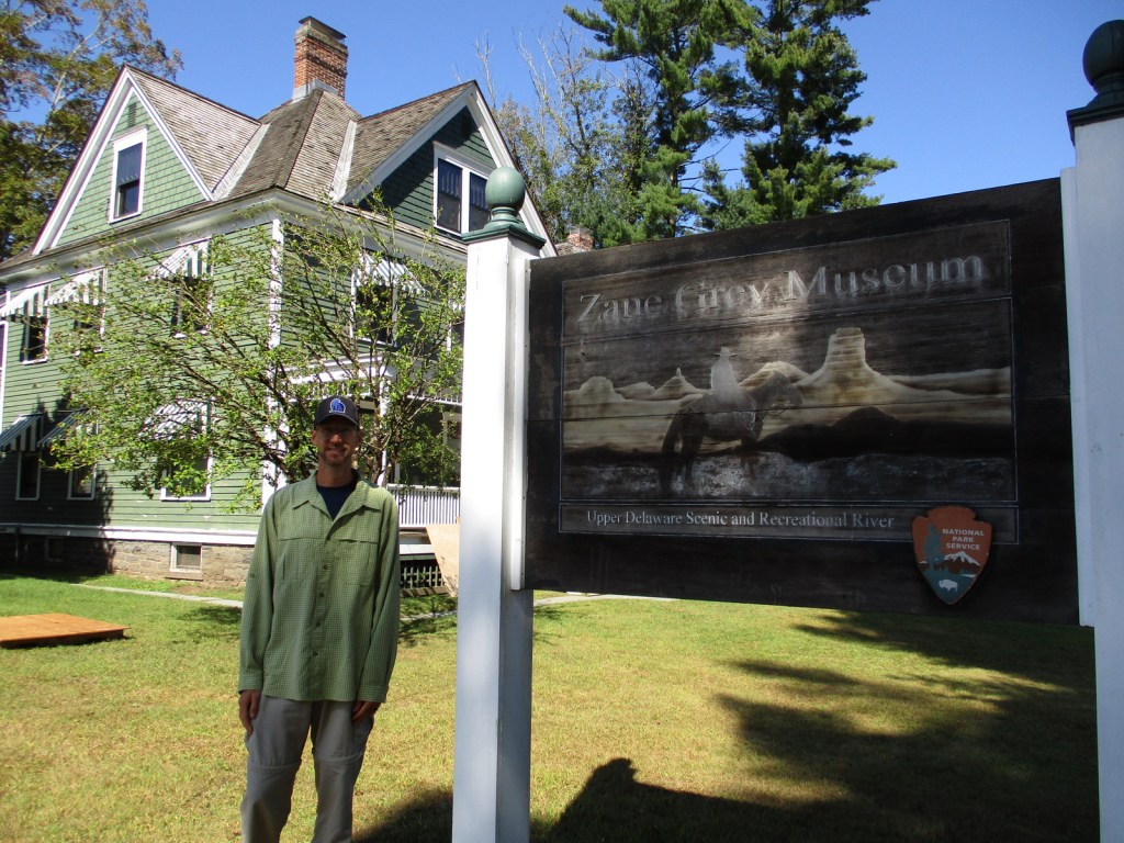
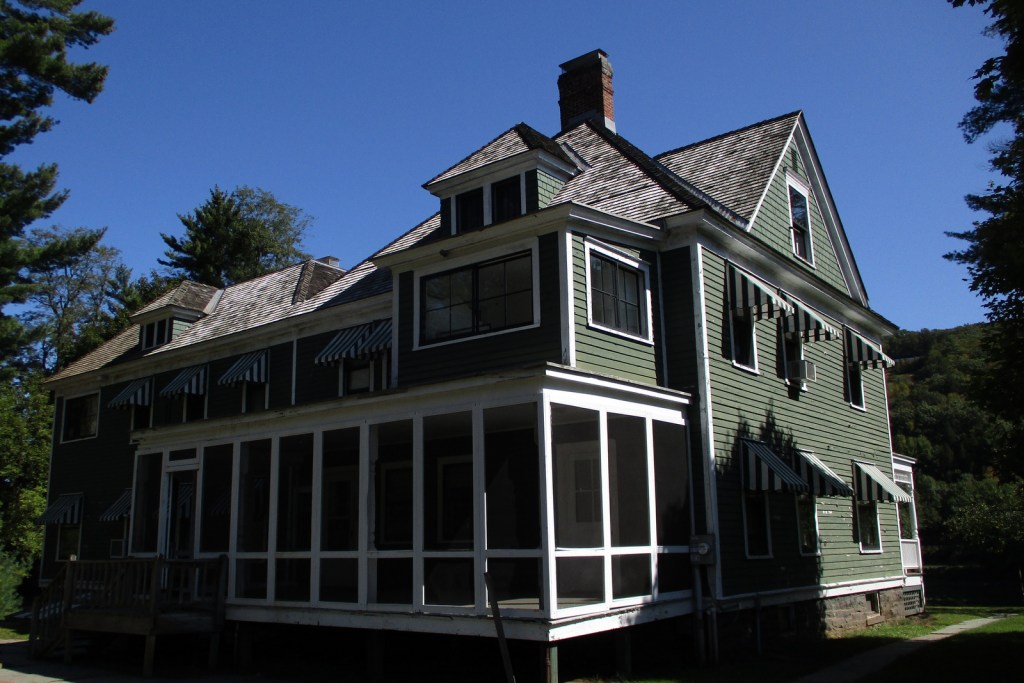
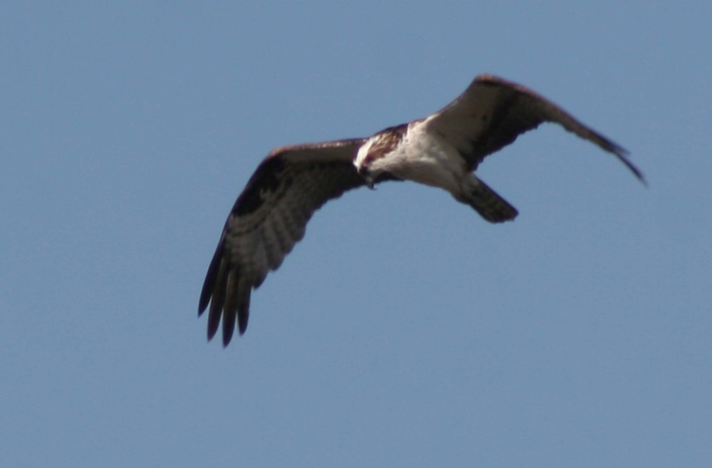
The Upper Delaware River is famous for year-round bald eagle viewing, Class I and II whitewater rafting, and fishing for smallmouth bass and walleye.  The NPS runs the Zane Grey Museum, which celebrates the “Father of the Western Novel” who lived in Lackawaxen, Pennsylvania from 1905 to 1918 and loved fishing here (and throughout his worldwide travels).  It was in this house that the former dentist (Zane Grey) wrote many articles about his outdoor adventures, as well as his novels, including Riders of the Purple Sage (published in 1912).

Best Trail

There are six trails you are required to complete in order to earn your Upper Delaware Hikes patch from the NPS, ranging in length from the quarter-mile Minisink Battleground (Revolutionary War) to the three-mile Tusten Mountain Trail, which provides an excellent view of the river valley.

Instagram-worthy Photo

Within eyeshot of the Zane Grey Museum, the Roebling Aqueduct operated between 1848 and 1898 to allowed coal-laden canal boats to cross over the Upper Delaware River.  Its architect is better known for the Brooklyn Bridge, but this aqueduct was converted to a one-lane car bridge before being purchased by the NPS in 1980.

Peak Season

Spring through fall

Hours

https://www.nps.gov/upde/planyourvisit/hours.htm

Fees

None

Road Conditions

All major roads paved, with Highway 97 in New York following the river for most of its length.

Camping

There are no NPS campgrounds, but many private ones along the Upper Delaware River.

Related Sites

Delaware Water Gap National Recreation Area (Pennsylvania-New Jersey)

Buffalo National River (Arkansas)

Minute Man National Historical Park (Massachusetts)

Explore More – Although they live in the Delaware River for most of their lives, what is the name of the sea in the Atlantic Ocean where eels migrate to spawn and die?

Padre Island National Seashore

Overview

To experience the natural side of this semitropical region, make a trip to Padre Island National Seashore south of Corpus Christi, Texas.  Unlike touristy South Padre Island, this barrier island offers 65 miles of undeveloped beaches for exploration by foot and 4-wheel-drive vehicles. 

Highlights

Malaquite Beach, Grasslands Nature Trail, Bird Island Basin

Must-Do Activity

This wild island attracts a lot of wildlife, like white-tailed deer, a variety of shorebirds, and, unfortunately, Portuguese man-o-wars.  Keep an eye out for sea turtle patrols that drive up and down the beach all day seeking females laying eggs, including the endangered Kemp’s ridley.  Head further north for more bird watching, as Aransas National Wildlife Refuge typically sees a few overwintering whooping cranes, an extremely rare species.

Best Trail

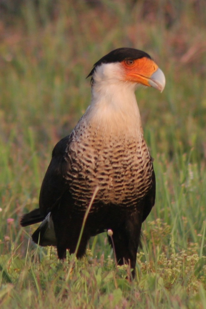
Take a walk on a boardwalk through the sand dunes on Grasslands Nature Trail to find white-tailed deer and maybe even a crested caracara.  Also look for caracaras along the roadside since they will eat carrion.

Instagram-worthy Photo

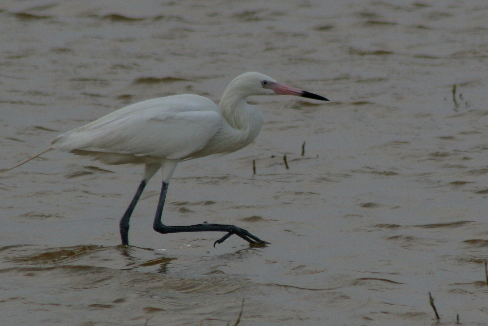
On the bay side of the barrier island, you can camp and watch kitesurfers at Bird Island Basin where herons and egrets are a common sight.  We also saw white pelicans in the spring.

Peak Season

Summer

Hours

https://www.nps.gov/pais/planyourvisit/hours.htm

Fees

$20 per vehicle or America The Beautiful pass

Road Conditions

Roads are paved to Malaquite Beach visitor center and from there you can drive most of the beaches with a 4-wheel-drive vehicle. 

Camping

Primitive camping is allowed on the beaches, but there is also a nice campground with water and showers near Malaquite Beach visitor center.  If you cannot find a campsite at Padre Island National Seashore, try up north at Mustang Island State Park.

Explore More – Currents in the Gulf of Mexico bring significant amounts of floating trash to the shoreline; how can you help during your visit?

Yellowstone National Park

Wyoming, Montana, Idaho

Managed by National Park Service

Established 1872

2,221,766 acres

Website: nps.gov/yell

Overview

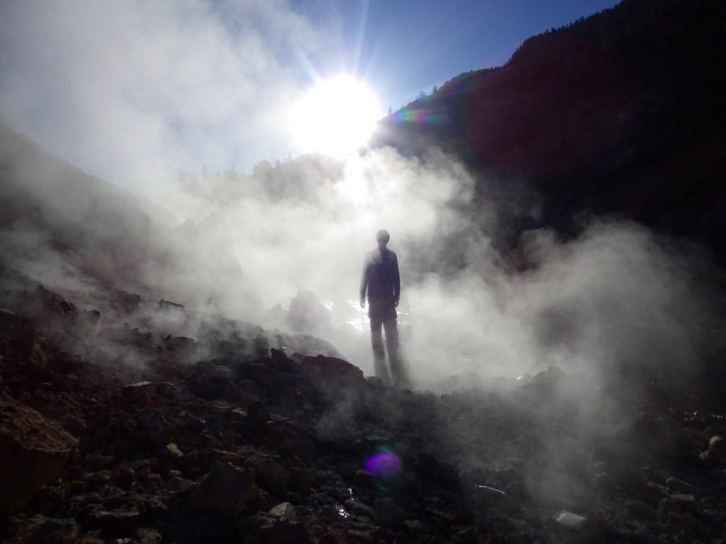
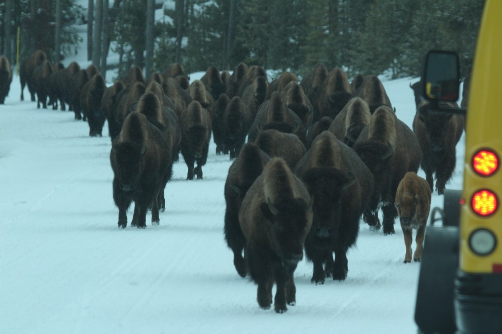
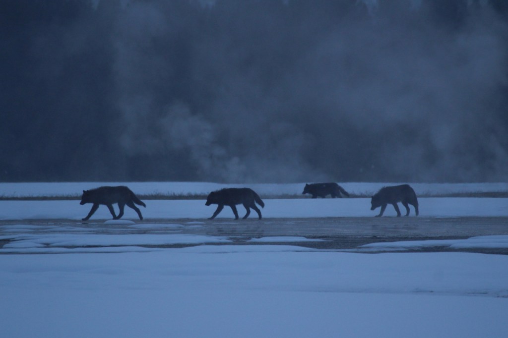
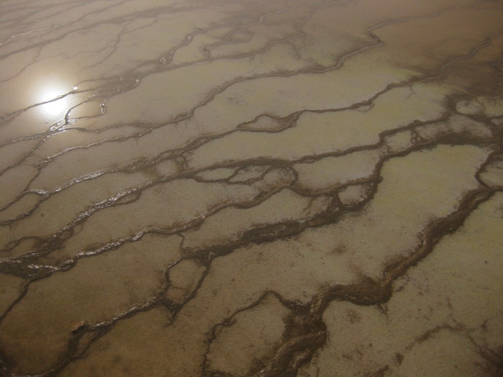
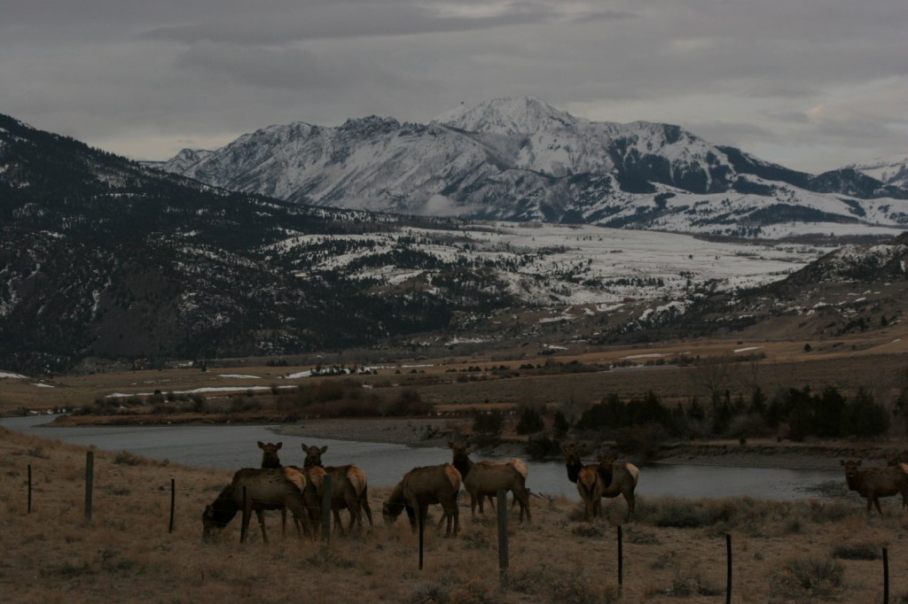
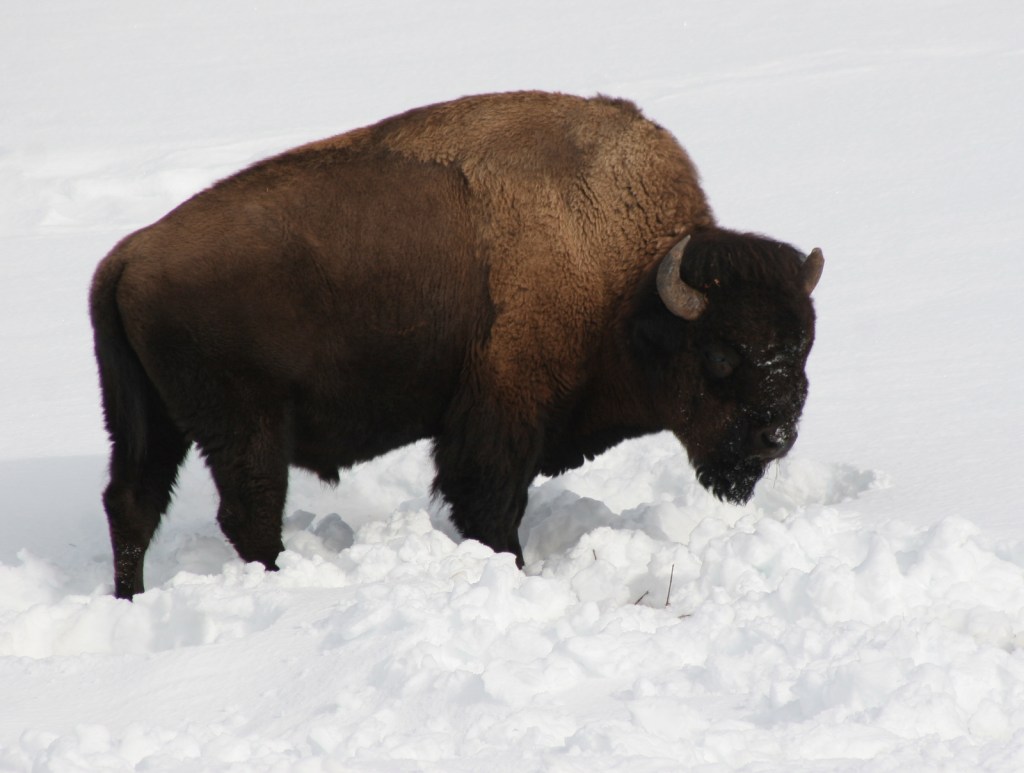
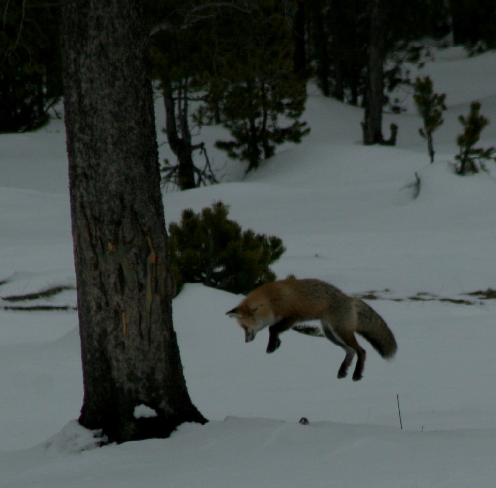
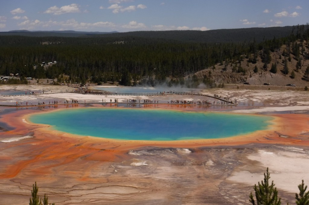
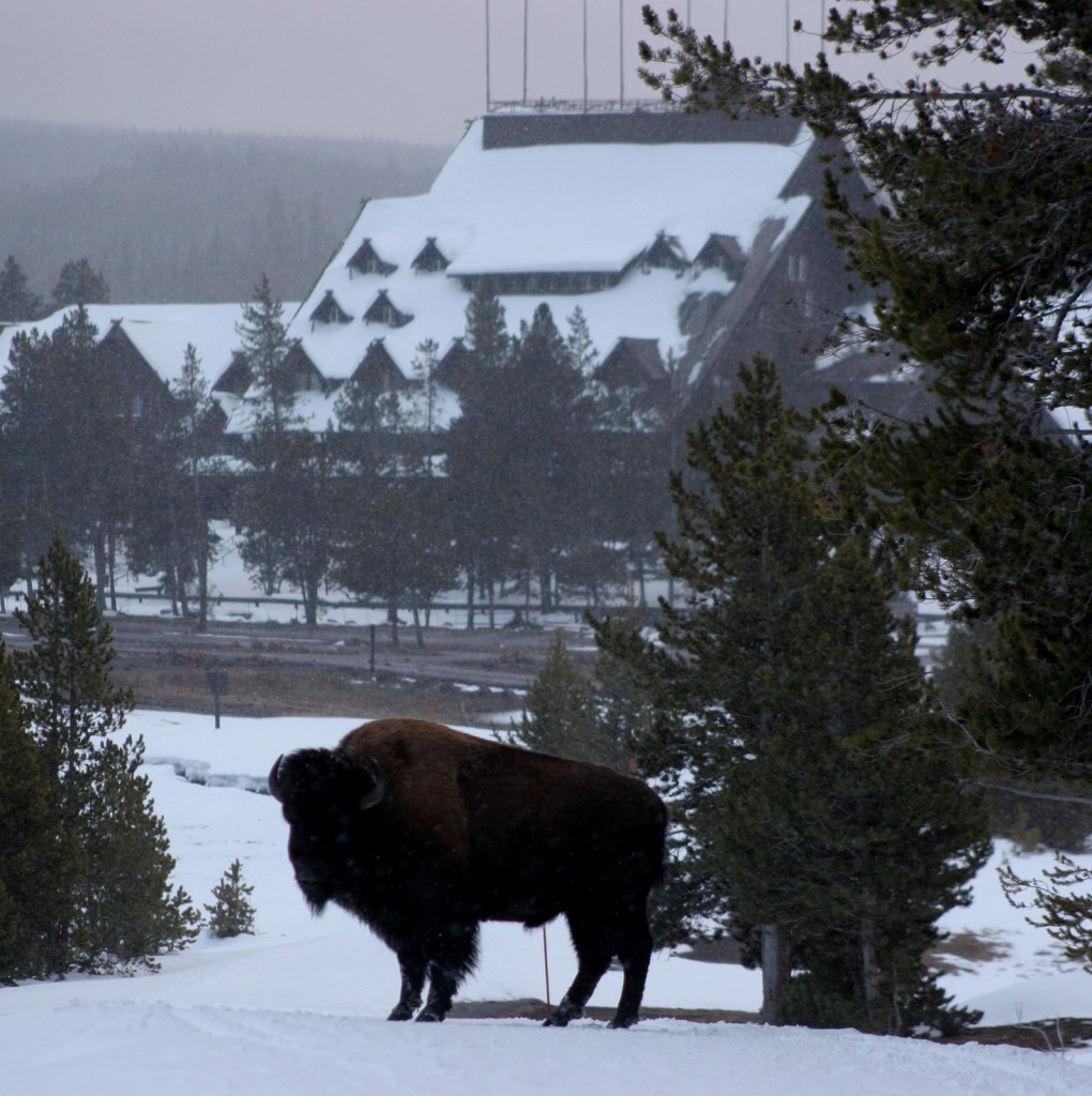
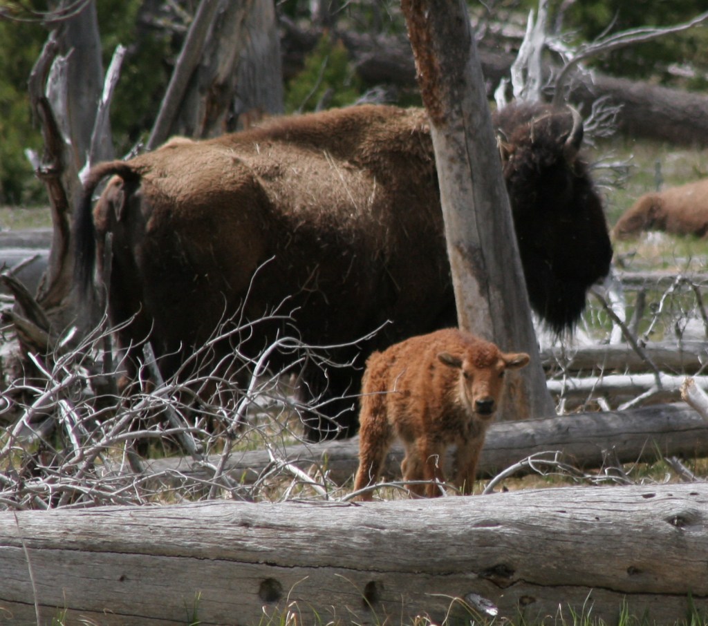
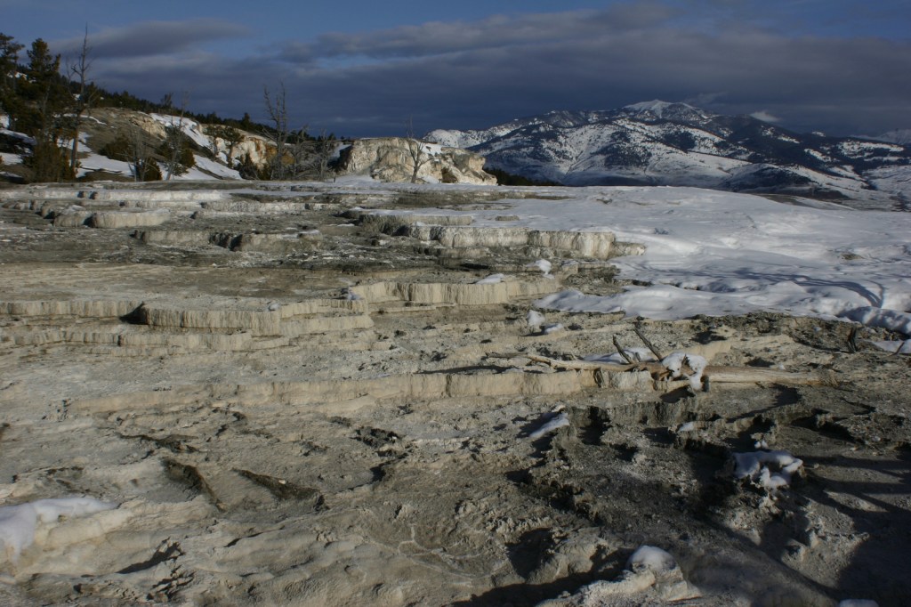
The geothermal features here inspired the creation of the world’s first official “National Park” in 1872.   Most of Yellowstone is actually a supervolcano where the magma heats up underground water producing 10,000 hot springs, fumaroles, and mudpots on the surface, as well as 300 geysers.  Incredibly, over 50% of the geysers in the world occur within this one park, which is equally famous for its wildlife diversity, including grizzly bears, bison, gray wolves, and elk.

Learn more about how to visit this National Park in the expanded second edition of our guidebook A Park to Yourself: Finding Solitude in America’s 63 National Parks

Yellowstone3

Highlights

Old Faithful geyser, Grand Prismatic Spring, Norris Geyser Basin, Mammoth Hot Springs, Grand Canyon of the Yellowstone, countless waterfalls, wildlife in Lamar Valley, Mt. Washburn, Continental Divide National Scenic Trail

Must-Do Activity

The most famous geyser here is Old Faithful, which can shoot water up to 185 feet in the air.  Since the occurrence of several earthquakes it is no longer as consistent as its name suggests, but its eruptions can be accurately predicted every 60 to 110 minutes throughout the day.  Arrive early to get a seat or take the trail up the nearby hill to watch it from above.  Afterwards, hike the boardwalks through colorful Upper Geyser Basin.

Best Trail

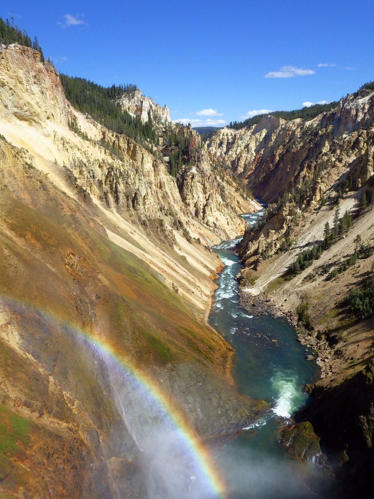
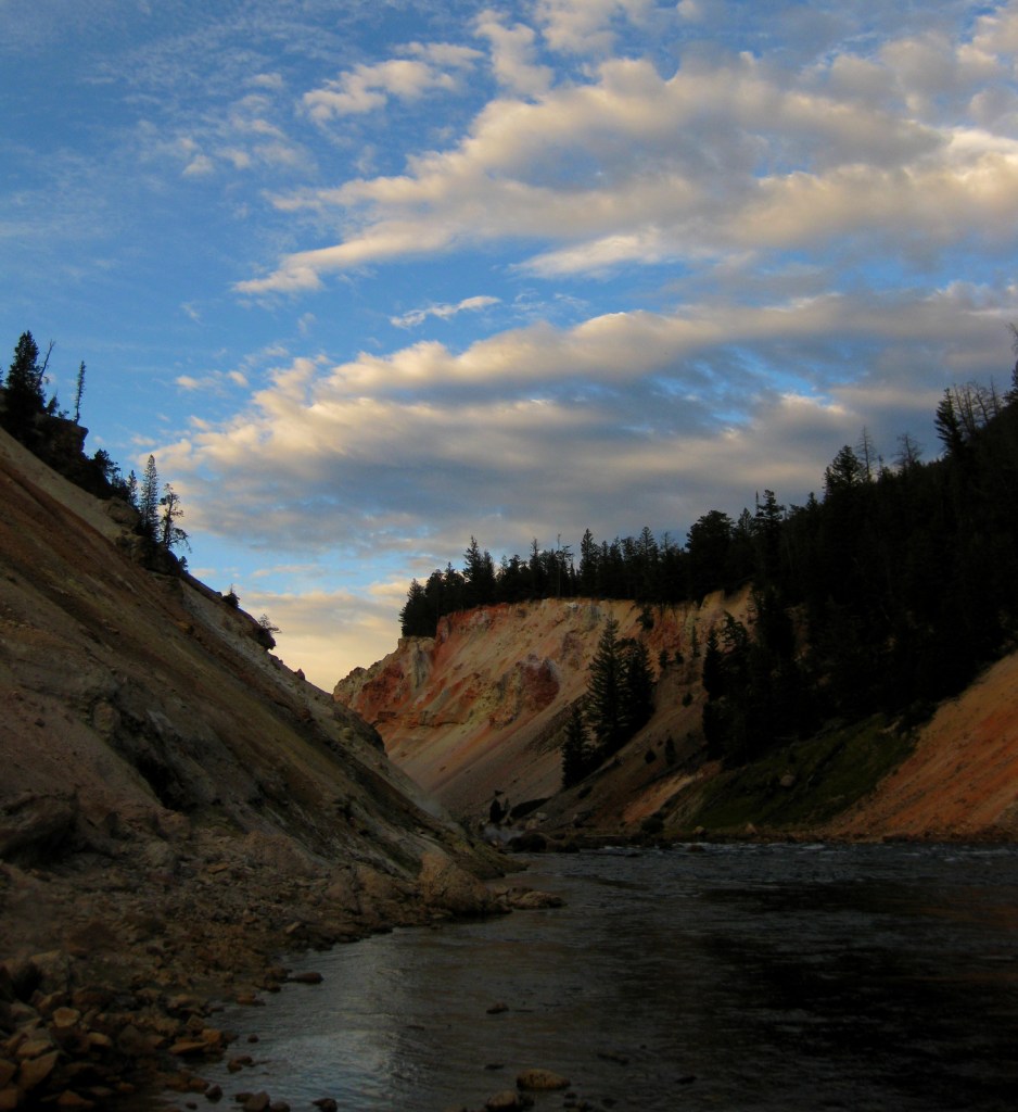
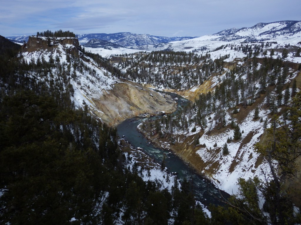
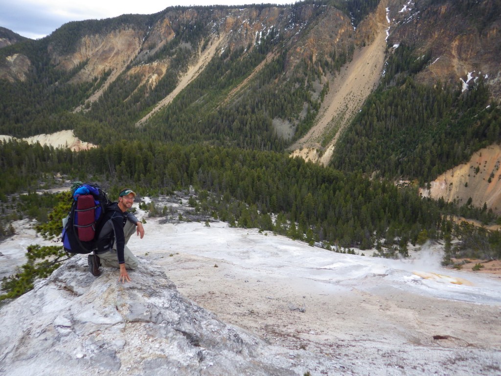
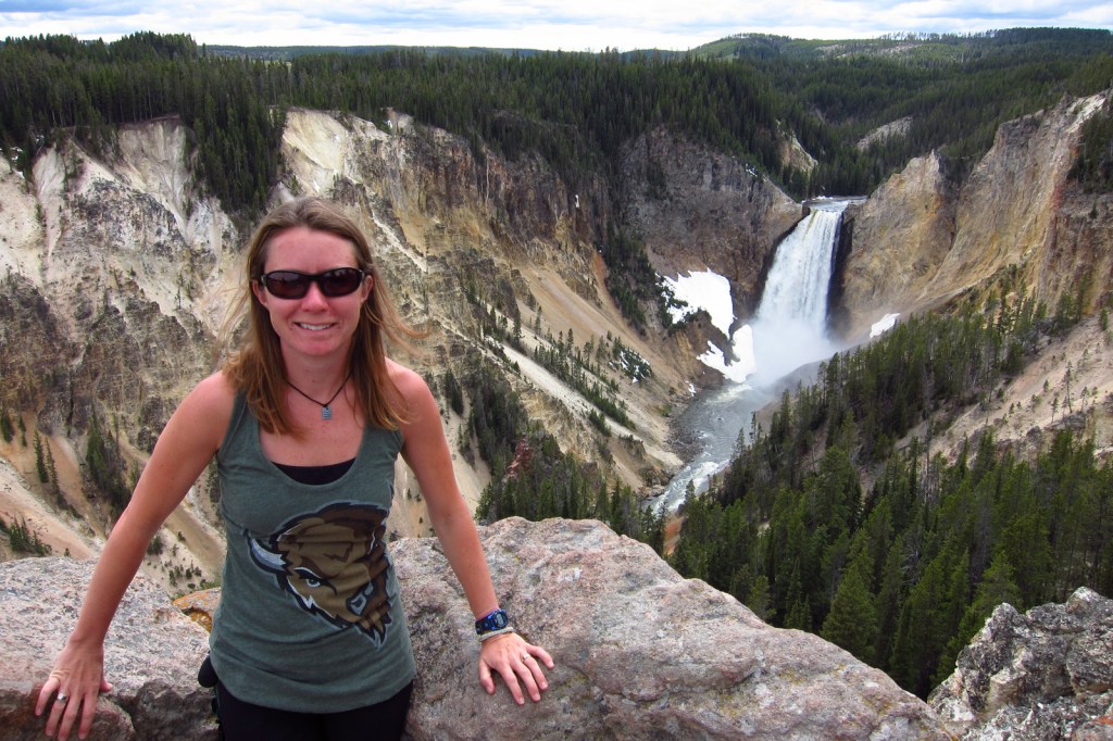
A hike into the Grand Canyon of the Yellowstone on Glacial Boulder Trail is one way to find the solitude lacking at the drive-up overlooks (you should still hike to the Brink of Lower Falls with the crowds).  Instead of staying in the packed campgrounds, consider getting a permit to backpack camp in the canyon.

Instagram-worthy Photo

The trail is steep, but paved down to the Brink of Lower Falls on the Yellowstone River for unforgettable view of the canyon, especially on sunny days when a rainbow appears in the spray.

2015YellowstoneNP4

Peak Season

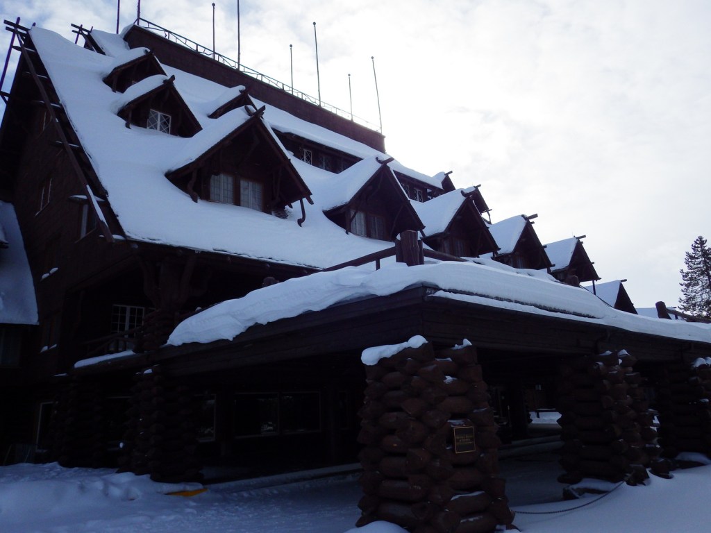
Summer, but Old Faithful Village can seem busy in the winter with all the snowmobiles during the day.

Hours

https://www.nps.gov/yell/planyourvisit/hours.htm

Fees

$35 per vehicle or America the Beautiful pass

Road Conditions

Very few roads are not paved, but the majority close for seven months in the winter.

Camping

There are many campgrounds in the park, but they fill up quickly the summer (especially at primitive Slough Creek).  The surrounding National Forests offer campgrounds and dispersed sites as well.  We have enjoyed backpacking at designated campsites in the park with a permit, especially in the Grand Canyon of the Yellowstone.

Related Sites

Grand Teton National Park (Wyoming)

Gallatin National Forest (Montana)

Fossil Butte National Monument (Wyoming)

LR YELL
This design we created to celebrate Yellowstone National Park is available on a variety of products at Cafe Press and Amazon.

Explore More – How many of the park’s 4-million annual visitors arrive in June, July, and August?

Know someone who loves National Parks? Gift them our travel guidebook A Park to Yourself: Finding Solitude in America’s 63 National Parks