Overview
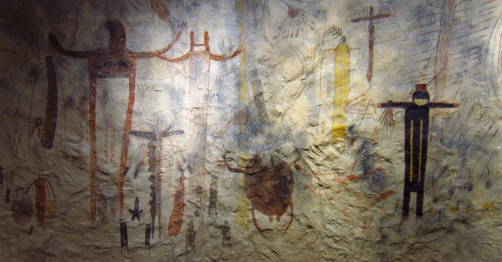
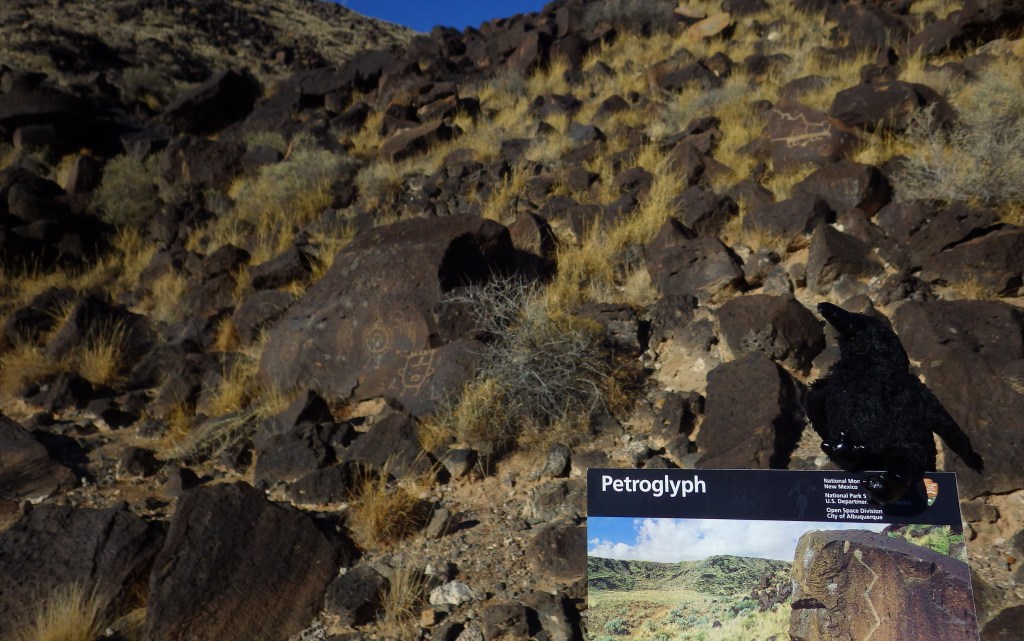
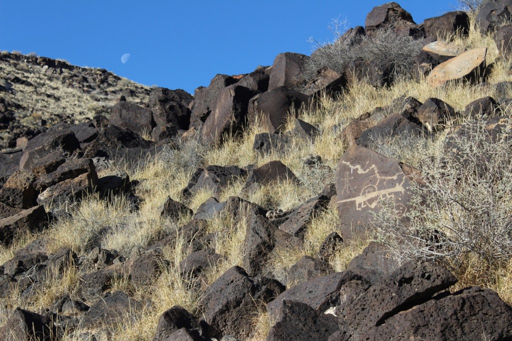
Bordered by the suburban neighborhoods of Albuquerque, Petroglyph National Monument is a nice place to take a walk and enjoy some intricate artwork. The petroglyphs were chipped into the patina of volcanic rocks in a long-populated region of the Rio Grande Valley. Some of these images may be up to 3,000 years old, with most believed to be carved between AD 1400 and 1700. A few were added by Hispanic settlers and explorers through the 1800s, but the National Park Service (NPS) politely requests no aspiring artists add any more.
Highlights
Boca Negra Canyon, Rinconada Canyon Trail, Piedras Marcadas Canyon, Volcanoes Day Use Area
Must-Do Activity
There are multiple areas of this National Monument established in 1990, some literally in Albuquerque residents’ backyards. At Boca Negra Canyon, you will find interesting depictions of humans, snakes, and even parrots from Central America, as well as many puzzling illustrations. Use your imagination to try to guess what the original carver was trying to display.
Best Trail
Volcanoes Day Use Area offers loop trails around three volcanic cones on the West Mesa with incredible views of the Sandia Mountains and Rio Grande Valley (but no petroglyphs).
Instagram-worthy Photo
Rinconada Canyon Trail is 1.25 miles one-way and starts at a small NPS parking lot in suburban Albuquerque and accesses an area with thousands of petroglyphs.
Peak Season
Spring and fall
Hours
https://www.nps.gov/petr/planyourvisit/hours.htm
Fees
None
Road Conditions
All roads are paved, but be prepared for stoplights, especially on the main connecting road Unser Boulevard.
Camping
There are private campgrounds around Albuquerque, New Mexico, or you can look for options in the Cibola and Santa Fe National Forests.
Related Sites
Pecos National Historical Park (New Mexico)
El Morro National Monument (New Mexico)
Salinas Pueblo Missions National Monument (New Mexico)

Scott at the NPS visitor center 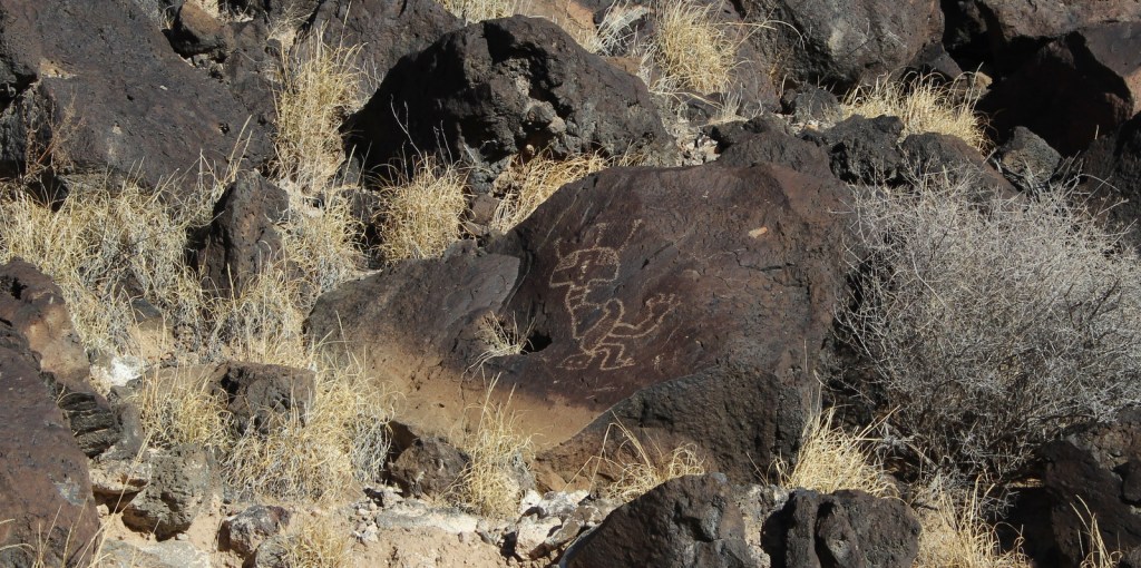
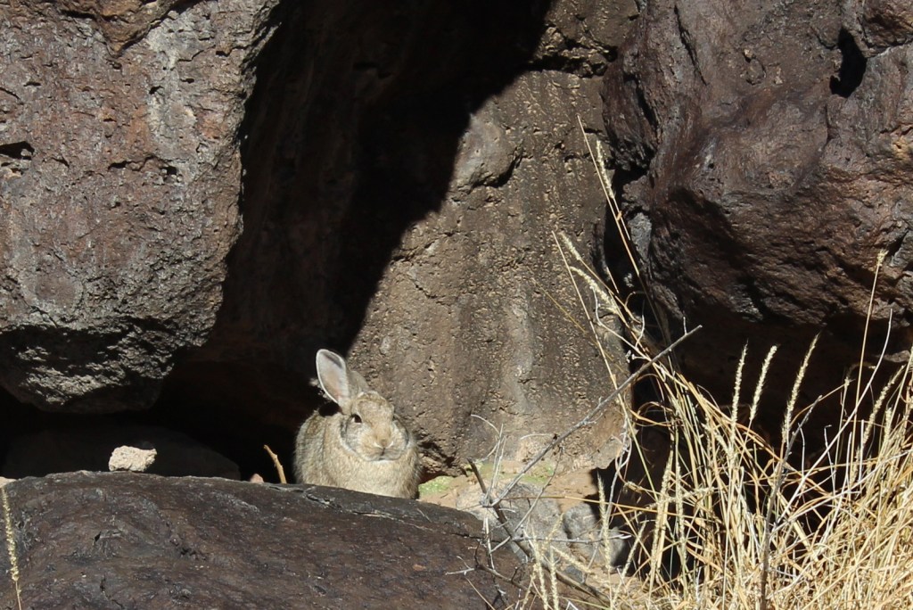
This cottontail rabbit does not look impressed by the petroglyphs 
Scott on the Rinconada Canyon Trail 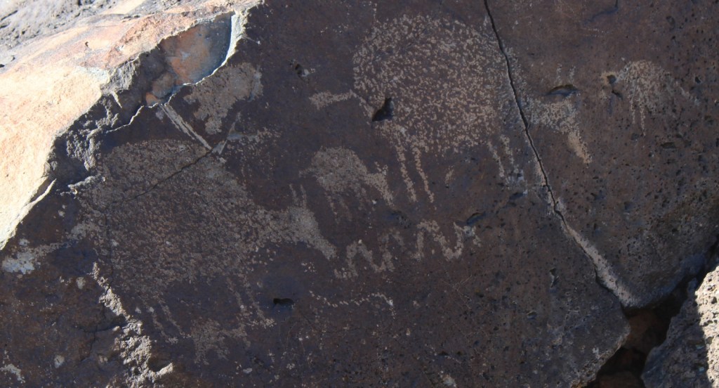

Tiff at Boca Negra Canyon 
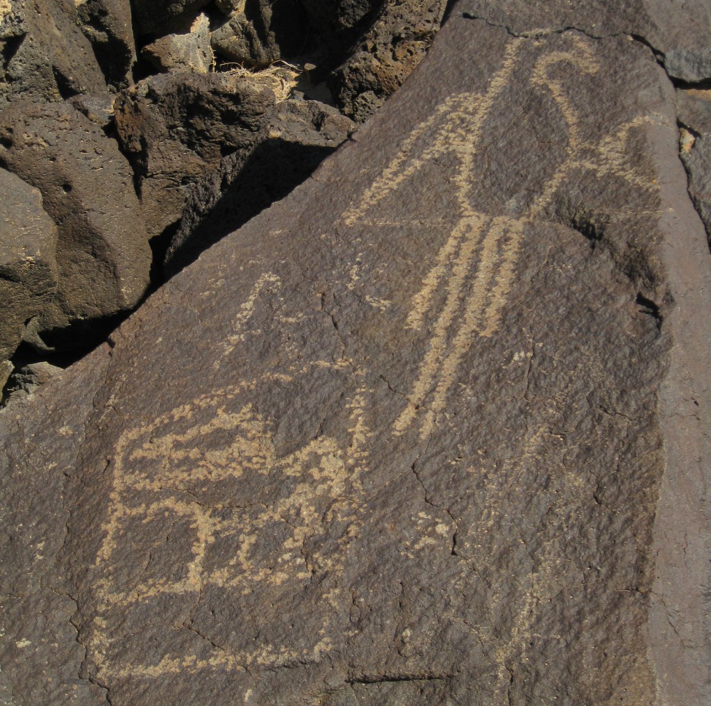
Macaw 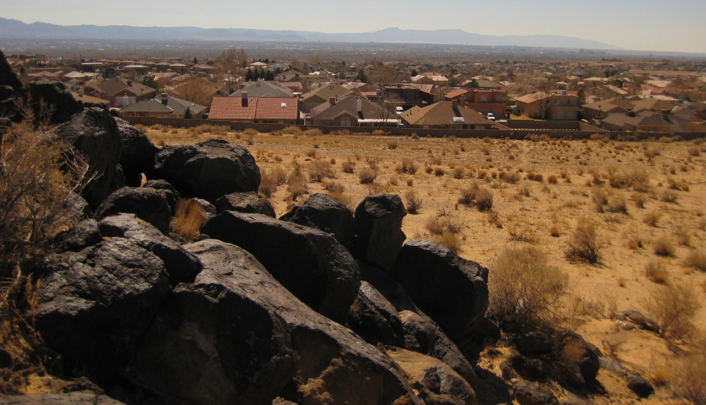
Petroglyph National Monument is in suburban Albuquerque 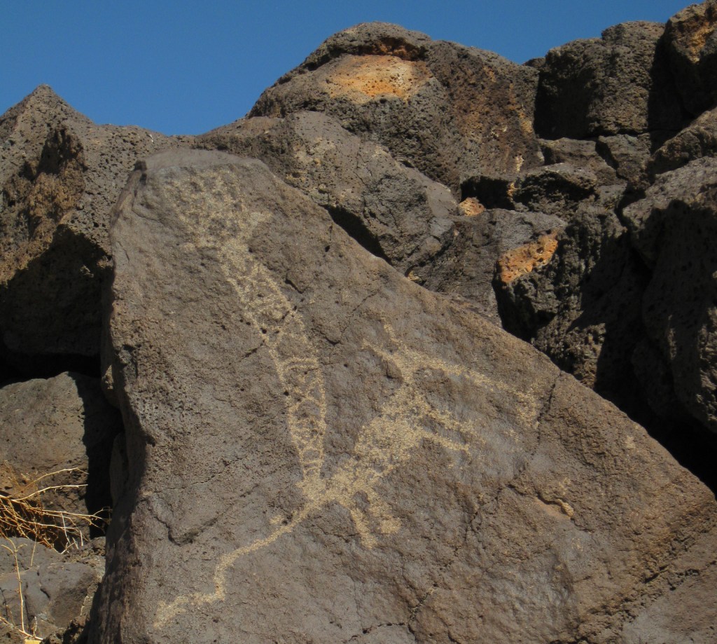

Explore More – How many petroglyphs are estimated to be protected within this National Monument?
Boca Negra Canyon contains thousands of petroglyphs and fascinating volcanic rock formations.
Some petroglyphs are more difficult to interpret. I think this one depicts a yucca fruit.