Overview
Amistad translates as “friendship” from Spanish, which is fitting given that this reservoir is shared by the U.S. and Mexico. Marinas and boat ramps provide access to the lake for watersports, like fishing and waterskiing. The 254-foot tall dam across the Rio Grande was built in 1968 and serves as a customs station in Del Rio, Texas. The National Park Service (NPS) runs a free museum nearby.
Highlights
Panther Cave pictographs, Seminole Canyon State Park, watersports
Must-Do Activity
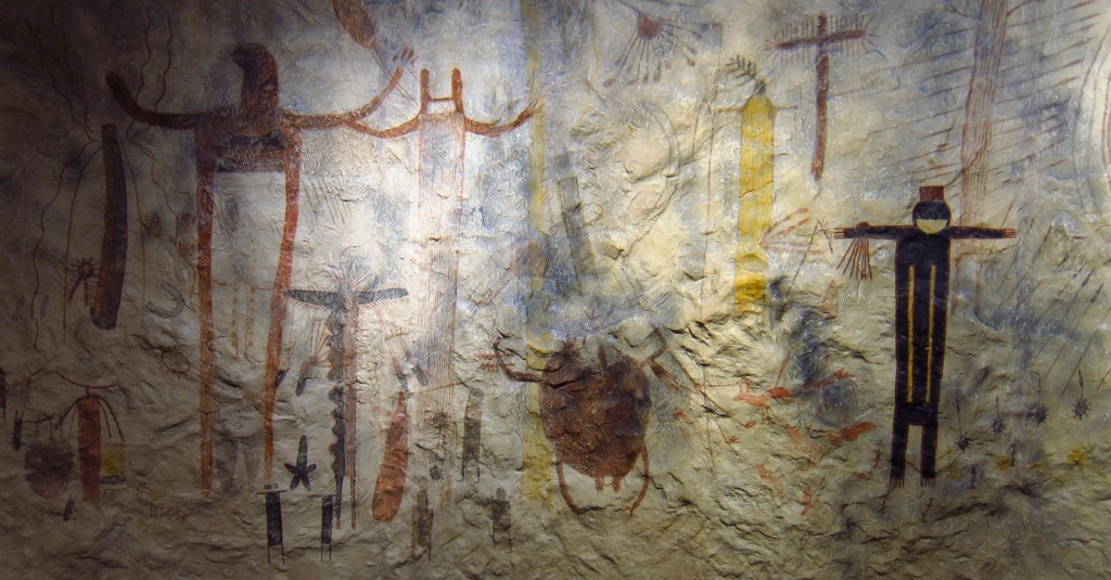
Amistad National Recreation Area is also famous for its 4,000-year-old pictographs, which can most easily be accessed on guided tours of Seminole Canyon State Park, 45 miles outside Del Rio, Texas on Highway 90. Admission is charged for the museum and tour, but provides the only way to see the colorful artwork in Fate Bell Shelter. Viewing fossils in the limestone was an added bonus on the tour.
Best Trail
The pictographs in Panther Cave can be seen from afar by hiking a trail in the state park or up-close by boating to the dock and climbing a steep stairway.
Instagram-worthy Photo
If you are unable to hike down into the canyon, the Seminole Canyon State Park museum has a replica of the rock art.
Peak Season
Summer
Hours
https://www.nps.gov/amis/planyourvisit/hours.htm
Fees
Boating passes start at $4 for a 1-day pass, $8 per person to tour Seminole Canyon State Park
Road Conditions
All major roads paved
Camping
Two NPS campgrounds are available at Governors Landing and San Pedro and there is a campground at Seminole Canyon State Park.
Related Sites
Alibates Flint Quarries National Monument (Texas)
Waco Mammoth National Monument (Texas)
Canyonlands National Park (Utah)


Scott and Tiff inside the Seminole Canyon State Park museum 

Sculpture at Seminole Canyon State Park 
Tiff at the bottom of Seminole Canyon 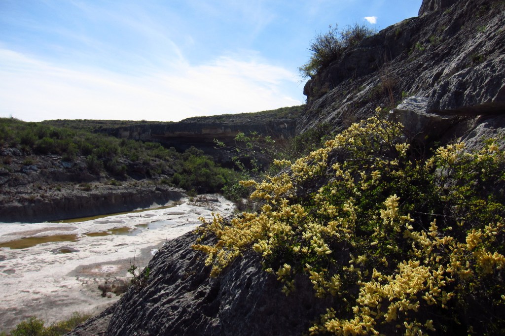

These pictographs in Fate Bell Shelter date back at least 2,000 years 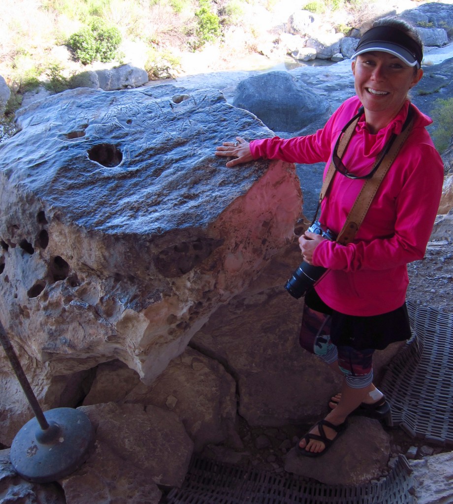
Tiff with fossils at Seminole Canyon State Park 
Scott in in Fate Bell Shelter 
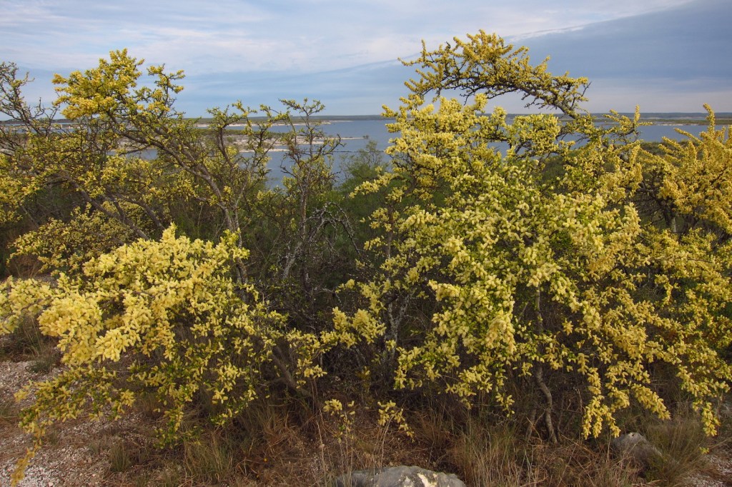
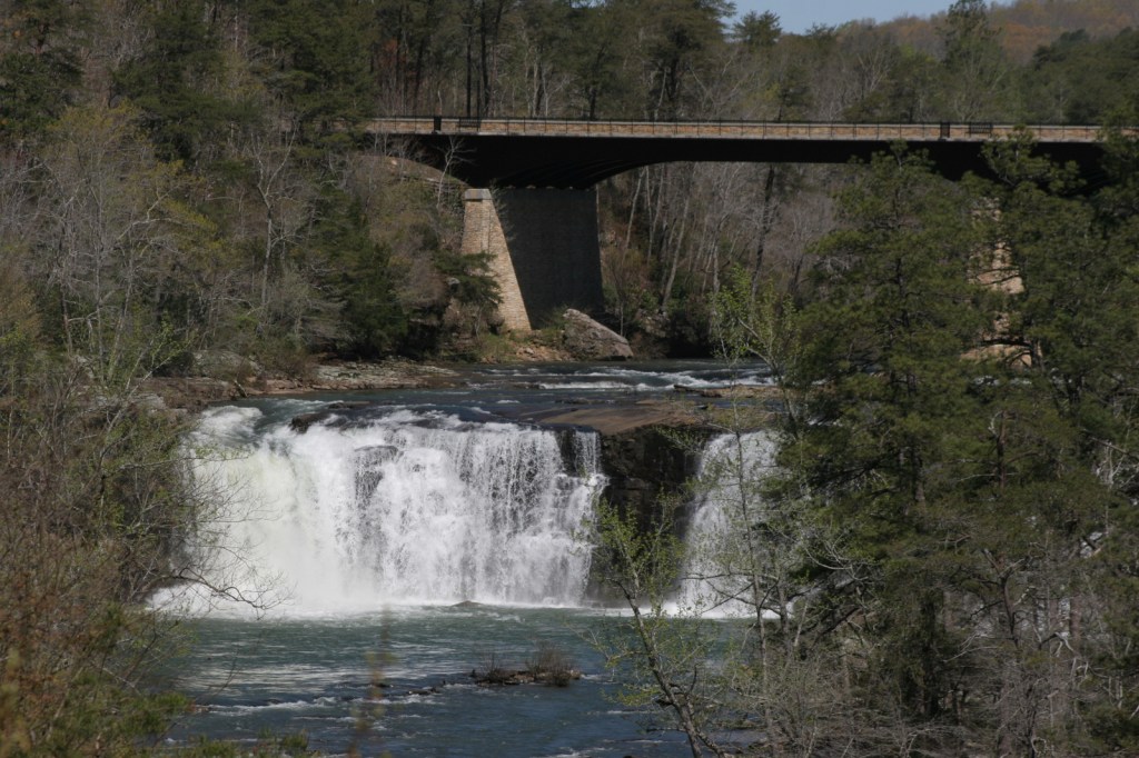
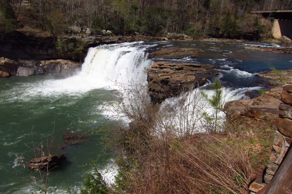
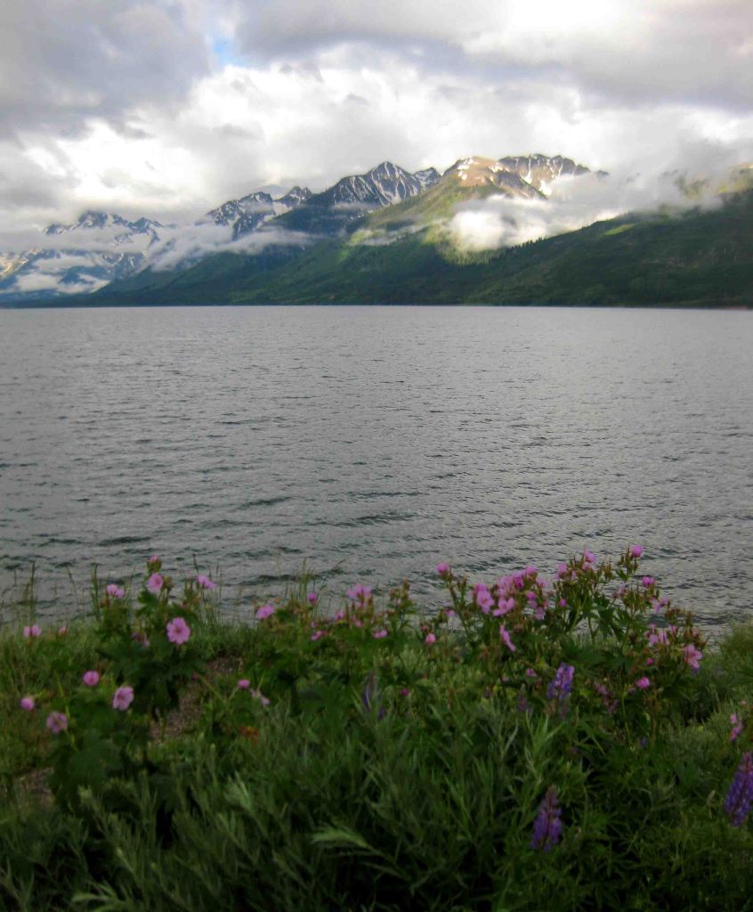
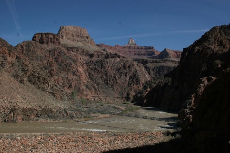
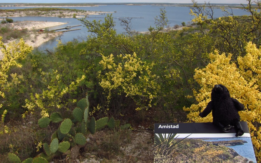
Amistad Reservoir was formed by the damming of the Rio Grande in 1968
Explore More – How many miles of the Rio Grande do the park’s boundaries encompass?