Tag Archives: boating

Gulf Islands National Seashore

Overview

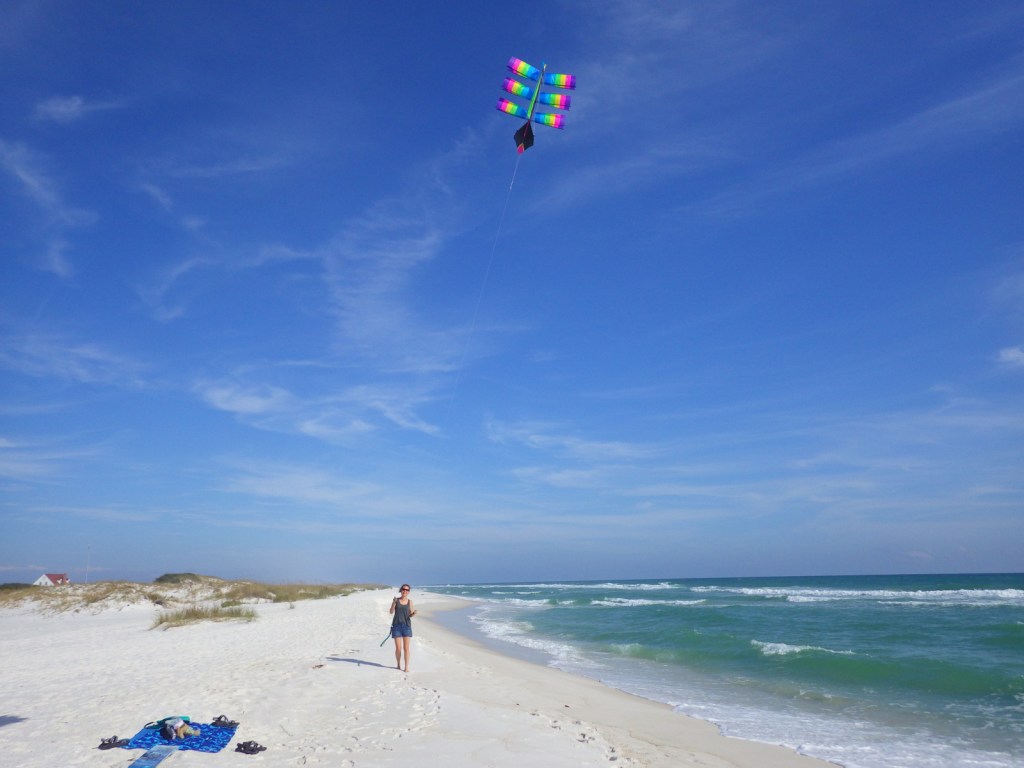
Gulf Islands National Seashore is renowned for white sand beaches on the barrier islands in the Gulf of Mexico, but there is more than beaches on the shores of Mississippi and the Florida panhandle (yes, Alabama is in the middle but is not part of this park).  The white sand that attracts beachgoers here originated as quartz in the Appalachian Mountains.  This coastal region was originally purchased by the U.S. from Spain in 1821 and 150 years later Gulf Islands National Seashore was created. 
Highlights

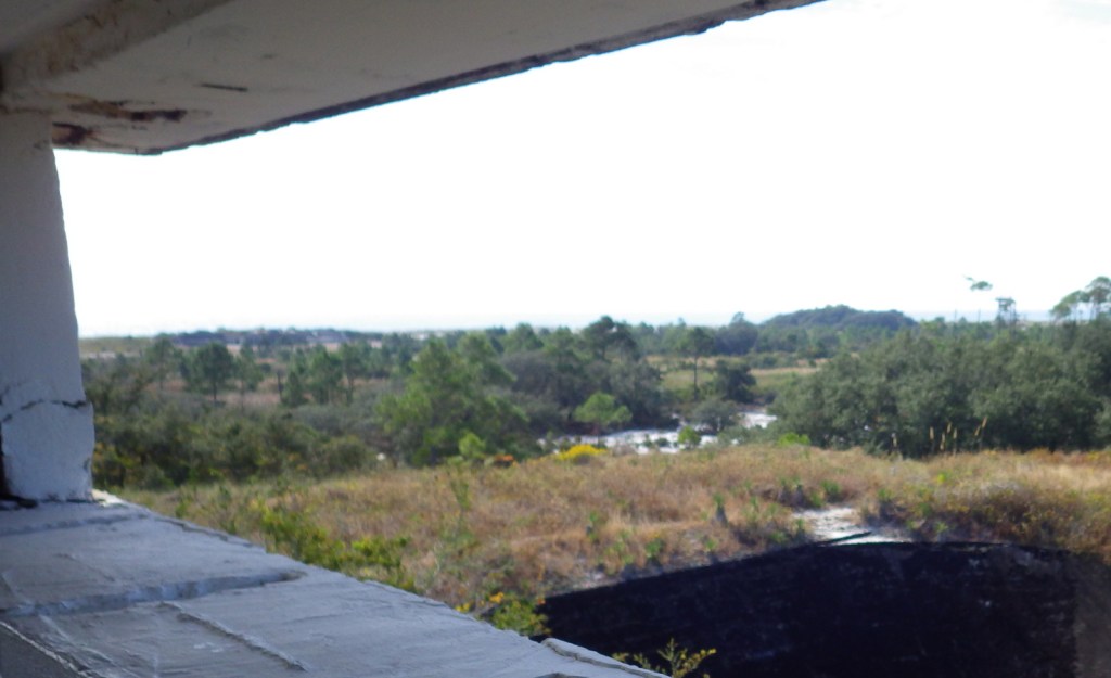
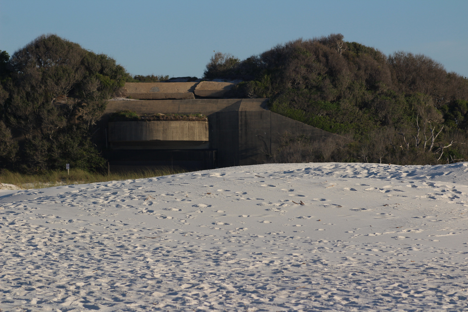
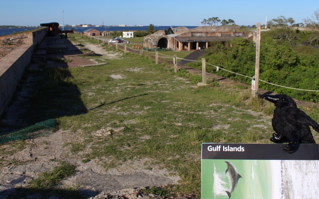
Fort Pickens, Naval Live Oaks Area, Fort Barrancas, West Ship Island ferry, white sand beaches, wildlife

Must-Do Activity

The National Park Service (NPS) has four visitor centers for Gulf Islands National Seashore, one on the mainland in Ocean Springs, Mississippi and the other three are south of Pensacola, Florida.  The most developed area is around Fort Pickens on Santa Rosa Island with its popular campground.  Nearby, Fort Barrancas sits next to the free National Museum of Naval Aviation on the military base.  The Naval Live Oaks Area protects the first federal tree farm started for shipbuilding purposes in 1828.  In Mississippi, only Davis Bayou can be reached by road, with (seasonal) ferry service limited to West Ship Island.  Otherwise, bring your own boat!

Best Trail

The 1,300-mile long Florida National Scenic Trail starts at Fort Pickens then runs east across Santa Rosa Island.

Instagram-worthy Photo

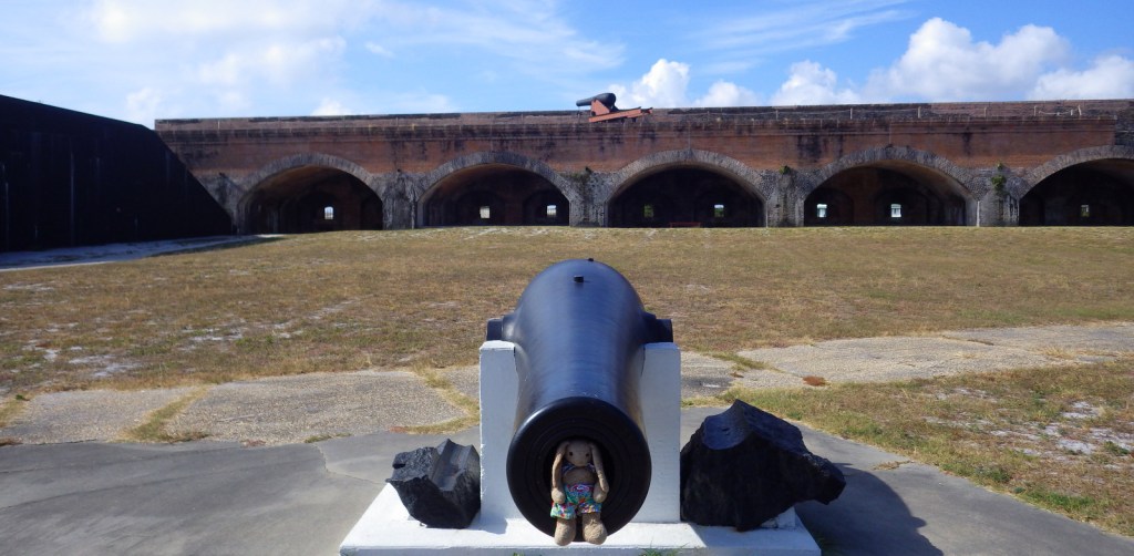
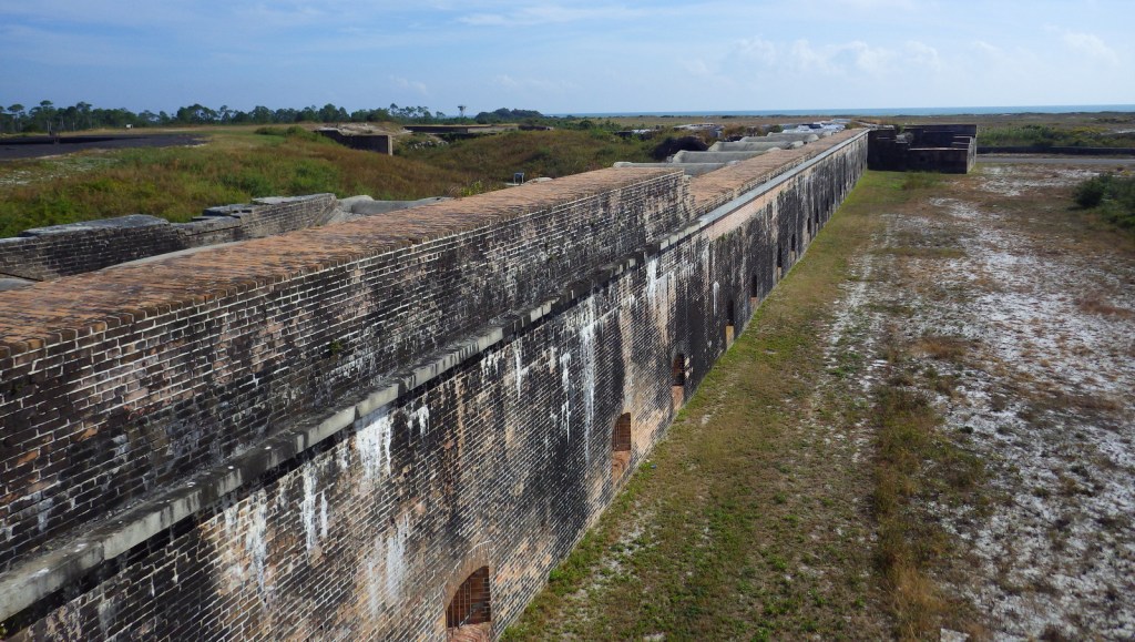
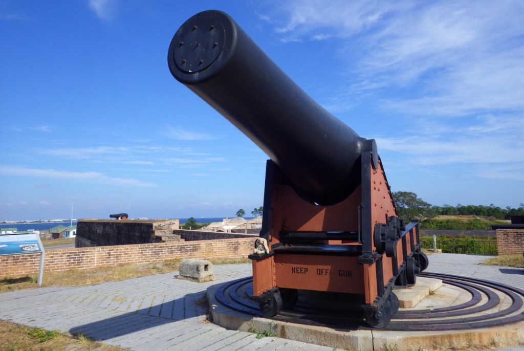
Fort Pickens dates back to 1829 with additional batteries upgraded during World War II.  Inside the fort there is a nice museum explaining the history of Santa Rosa Island.

Peak Season

Summer

Hours

https://www.nps.gov/guis/planyourvisit/hours.htm

Fees

$25 per vehicle or free with America the Beautiful pass

Road Conditions

All access roads are paved

Camping

Reservations are highly recommended for the NPS campgrounds on Santa Rosa Island, Florida and Ocean Springs, Mississippi.  Primitive camping is allowed on undeveloped East Ship, Horn, and Petit Bois Islands.

Related Sites

Dry Tortugas National Park (Florida)

Canaveral National Seashore (Florida)

Everglades National Park (Florida)

Explore More – What are the four species of sea turtles that nest on the park’s beaches?

Big Cypress National Preserve

Overview

Big Cypress National Preserve was originally planned to be a part of Everglades National Park (established in 1947), but this wild area to the north did not gain federal protection until 1974.  There are few roads and trails in the 729,000-acre preserve, which makes it ideal habitat for the endangered Florida panther.  The easiest access points are along Alligator Alley (Interstate 75) or the Tamiami Trail (Highway 41).  While many of the “trails” require route-finding and slogging through deep water, there are also designated ATV and canoe trails located throughout the park.

Highlights

Kirby Storter Roadside Park, Big Cypress Bend Trail, canoeing

Must-Do Activity

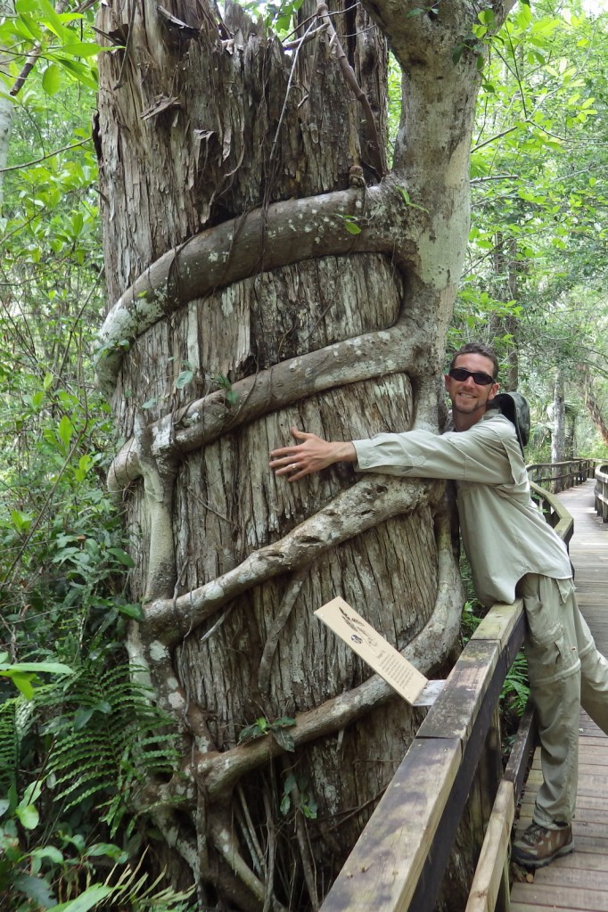
Many of the baldcypress and pond cypress trees that once stood here were logged in the 1930s and 1940s.  At the Kirby Storter Roadside Park, you can still see some large examples of these trees famous for their buttressed boles and root nodules, or “knees,” that stand above the high water level.  We previously reported on these unique deciduous conifers at Congaree National Park in South Carolina, but here they grow right alongside tall palm trees that we typically associate with sandy beaches. 

Best Trail

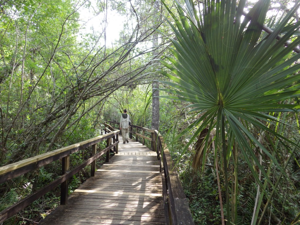
Many of the trails in the park are underwater and require slogging.  Two exceptions with boardwalks are at Kirby Storter Roadside Park and Big Cypress Bend (technically within Fakahatchee Strand Preserve State Park).

Instagram-worthy Photo

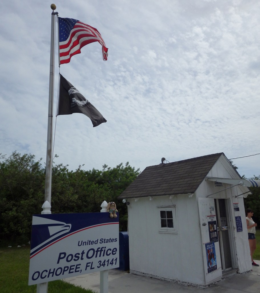
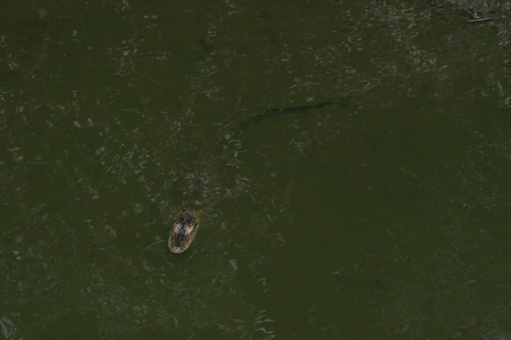
Wherever you look, you are likely to spot an alligator or two in this wild section of south Florida.  An extra photo-op can be found at the smallest post office in the United States, a former irrigation pipe shed located in Ochopee, Florida since 1953.

Peak Season

Winter

Hours

https://www.nps.gov/bicy/planyourvisit/hours.htm

Fees

None (except for off-road vehicle permits)

Road Conditions

Highway 41 and Interstate 75 are paved, but just about every other road in the park is sandy (and/or submerged) and should only be attempted with an ATV or swamp buggy.

Camping

The NPS offers two campgrounds along Highway 41 (there is also one in Collier-Seminole State Park), as well as designated primitive wilderness sites.

Related Sites

Everglades National Park (Florida)

De Soto National Memorial (Florida)

Big Thicket National Preserve (Texas)

Explore More – What are the five main habitat types protected within the preserve?

Amistad National Recreation Area

Overview

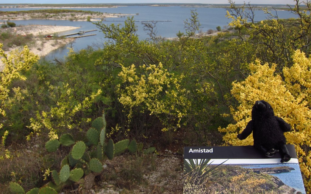
Amistad translates as “friendship” from Spanish, which is fitting given that this reservoir is shared by the U.S. and Mexico.  Marinas and boat ramps provide access to the lake for watersports, like fishing and waterskiing.  The 254-foot tall dam across the Rio Grande was built in 1968 and serves as a customs station in Del Rio, Texas.  The National Park Service (NPS) runs a free museum nearby.

Highlights

Panther Cave pictographs, Seminole Canyon State Park, watersports

Must-Do Activity

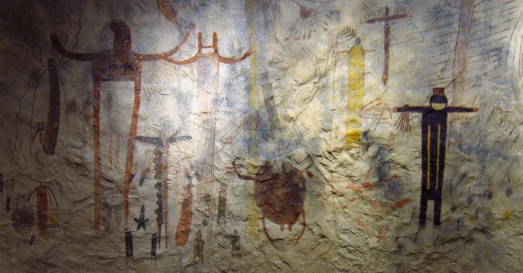
Amistad National Recreation Area is also famous for its 4,000-year-old pictographs, which can most easily be accessed on guided tours of Seminole Canyon State Park, 45 miles outside Del Rio, Texas on Highway 90.  Admission is charged for the museum and tour, but provides the only way to see the colorful artwork in Fate Bell Shelter.  Viewing fossils in the limestone was an added bonus on the tour.

Best Trail

The pictographs in Panther Cave can be seen from afar by hiking a trail in the state park or up-close by boating to the dock and climbing a steep stairway. 

Instagram-worthy Photo

If you are unable to hike down into the canyon, the Seminole Canyon State Park museum has a replica of the rock art.

Peak Season

Summer

Hours

https://www.nps.gov/amis/planyourvisit/hours.htm

Fees

Boating passes start at $4 for a 1-day pass, $8 per person to tour Seminole Canyon State Park

Road Conditions

All major roads paved

Camping

Two NPS campgrounds are available at Governors Landing and San Pedro and there is a campground at Seminole Canyon State Park.

Related Sites

Alibates Flint Quarries National Monument (Texas)

Waco Mammoth National Monument (Texas)

Canyonlands National Park (Utah)

Explore More – How many miles of the Rio Grande do the park’s boundaries encompass?
Chesapeake and Ohio Canal National Historical Park

Overview

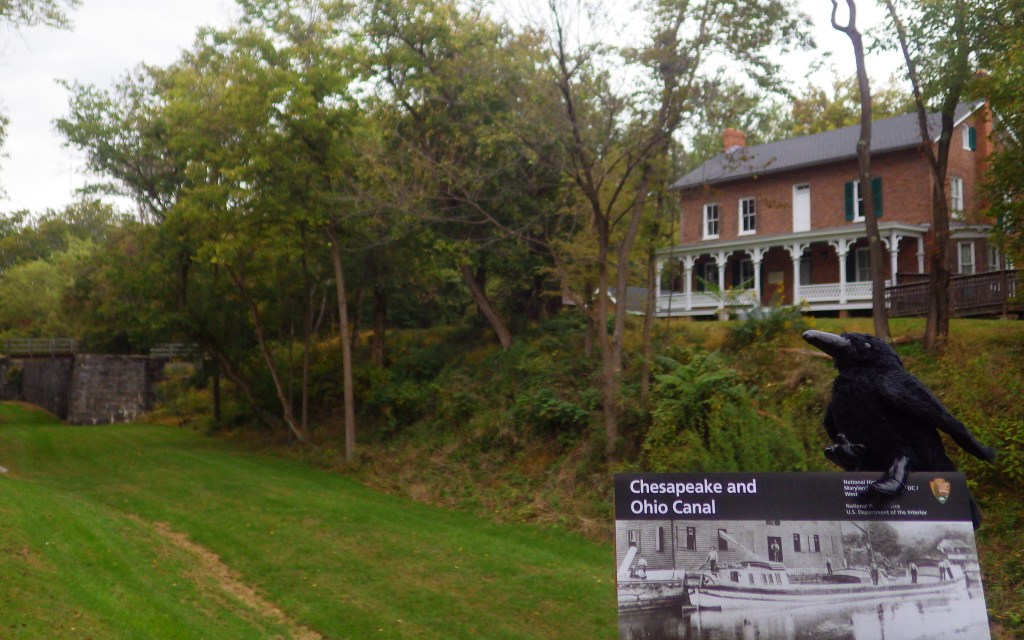
The Chesapeake and Ohio (C&O) Canal was supposed to connect ports in Washington, D.C. with the Ohio River, but it never reached its destination before the Baltimore and Ohio (B&O) Railroad rendered it obsolete in 1850.  It employed 35,000 laborers (mostly European immigrants) during its 22 years of construction and eventually carried coal out of the Appalachian Mountains for decades.  The canal closed in 1924, but it left behind indelible historic landmarks like locks, dams, aqueducts, historic hotels, and a 3,118-foot long tunnel.

Highlights

Historic locks, boat tours, Great Falls Tavern, boating

Must-Do Activity

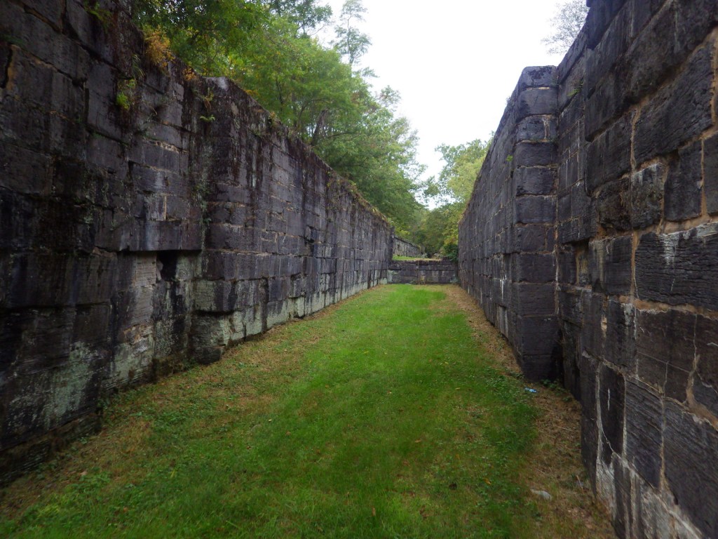
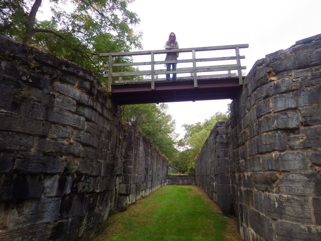
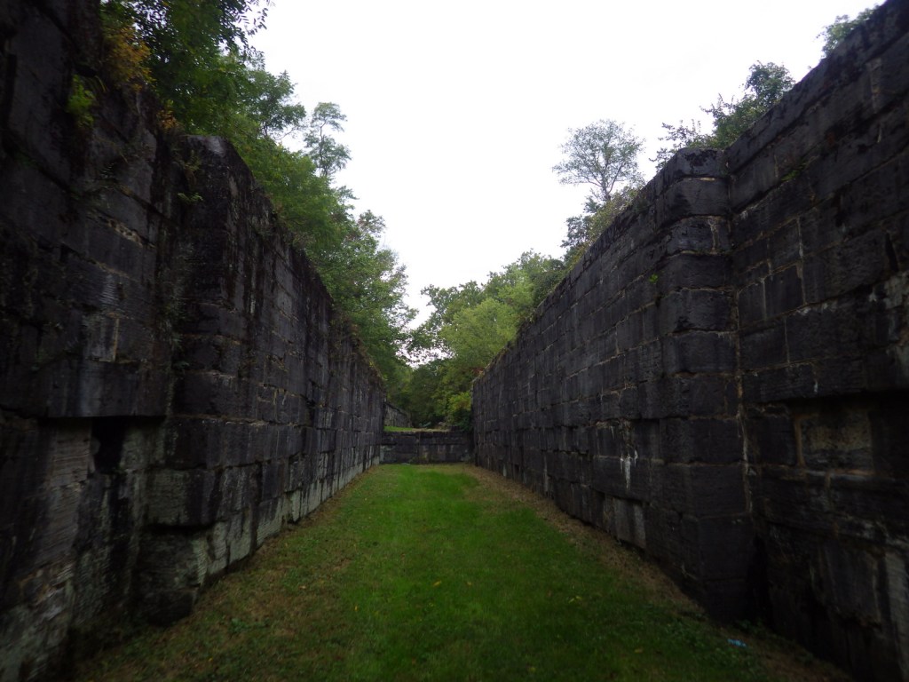
C&O Canal National Historical Park is run by the National Park Service (NPS) and offers multiple free visitor centers along the route that are open seasonally.  Near Washington, D.C. both the Great Falls Tavern and Georgetown Visitor Centers offer mule-drawn canal boat rides on a first-come, first-served basis April through October.  We enjoyed touring the historic locks of the canal in Hancock, Maryland after visiting Catoctin Mountain Park and Antietam National Battlefield.

Best Trail

Today you can walk and bike the graded 184.5-mile towpath that follows the Potomac River, camping at designated sites along the way if you choose.

Instagram-worthy Photo

The canal locks at Hancock, Maryland became part of the park that was created in 1971.  The boarding house located there now serves as an NPS visitor center.

Peak Season

Summer, as most of the visitor centers are closed seasonally

Hours

https://www.nps.gov/choh/planyourvisit/hours.htm

Fees

None, except at Great Falls Tavern

Road Conditions

All roads paved

Camping

There are primitive drive-in camping areas at five spots along the canal path, as well as 30 backpacking campsites spaced approximately five miles apart.  There is also a nice NPS campground at Catoctin Mountain Park in Maryland.

Related Sites

George Washington Memorial Parkway (Virginia-Maryland)

Harpers Ferry National Historical Park (West Virginia-Maryland-Virginia)

Allegheny Portage Railroad National Historic Site (Pennsylvania)

Explore More – At its peak of operation, how many mule-drawn boats were in service on the C&O Canal?

Grand Teton National Park

Wyoming

Managed by National Park Service

Established 1929

310,000 acres

Website: nps.gov/grte

Overview

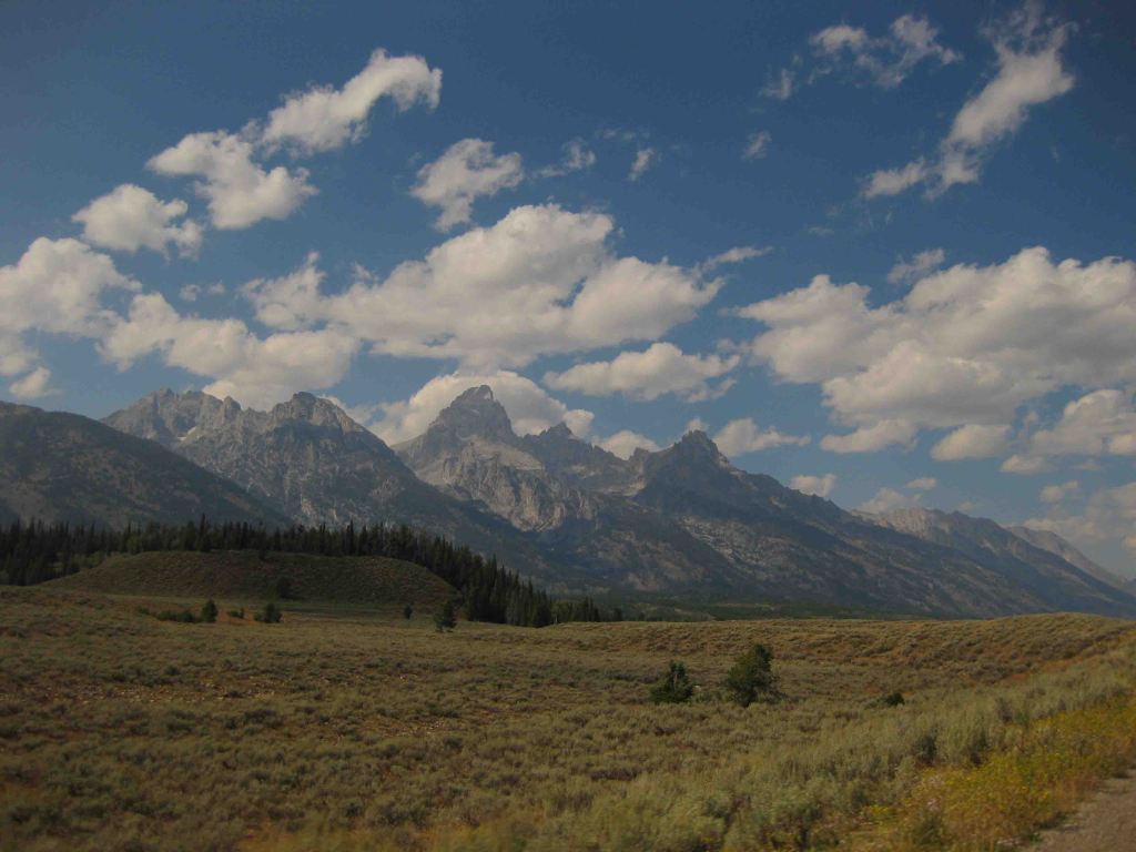
Just south of Yellowstone National Park, is one of the most recognizable skylines in the United States, topped by 13,772-foot tall Grand Teton Peak.  The Teton Mountains were established as a National Park in 1929, but the rest of the park has a strange history.  Land in the Jackson Hole valley was bought up by the Rockefeller family and attempted to be donated to the U.S. government for decades.  In 1943, President Franklin D. Roosevelt created Jackson Hole National Monument under the Antiquities Act, but it did not include the Rockefeller holdings.  It was not until 1950 that a deal was struck merging everything into Grand Teton National Park as we know it today.  Part of that negotiation was a requirement that in the future no land in Wyoming would ever be established as a National Monument under the Antiquities Act.

Learn more about how to visit this National Park in the expanded second edition of our guidebook A Park to Yourself: Finding Solitude in America’s 63 National Parks. 

Highlights

Jenny Lake, Inspiration Point, Jackson Lake Lodge, Oxbow Bend Turnout, Mormon Row

Must-Do Activity

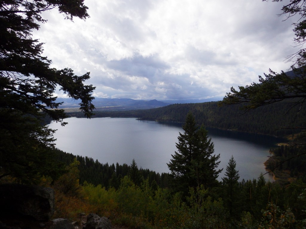
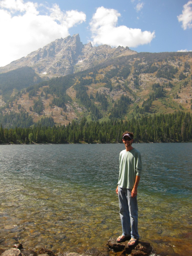
One of our favorite places in the park is Jenny Lake, which sparkles below 12,325-foot Teewinot Peak.  This is the trailhead for Cascade Canyon, but there are plenty of activities other than hiking, which include boating, horseback riding, mountain climbing, whitewater rafting, or cross-country skiing in the winter. 

Best Trail

You can hike around Jenny Lake to the lake to Hidden Falls and the waterfalls of Cascade Canyon, or you can take the shortcut aboard a shuttle boat (fee).  This popular trail can get very busy in the summer, which is true of most of the trails in the park.

Instagram-worthy Photo

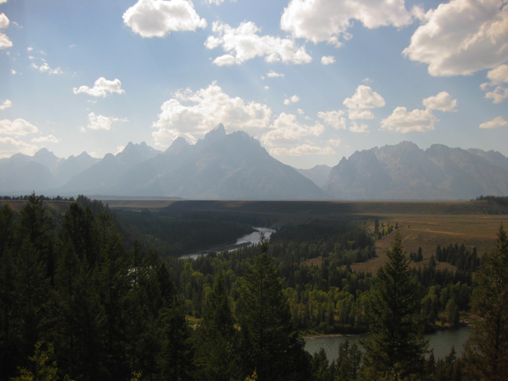
Oxbow Bend Turnout is found along Highway 89/191/287, north of Moran Junction Entrance Station.  It overlooks a curve in the Snake River towards the Teton Mountain Range, which is why we chose it for our original logo design (see below).

Peak Season

Summer

Hours

https://www.nps.gov/grte/planyourvisit/hours.htm

Fees

$35 per vehicle or America the Beautiful pass

Road Conditions

The only main road that are not paved is the short segment that connects Phelps Lake with Jackson Hole Ski Area, but there are other rough gravel roads that follow the Snake River.

Camping

The first-come, first-served tent-only campsites at Jenny Lake or Signal Mountain are usually full, so you can always try Gros Ventre Campground which has 350 sites and rarely fills up.  Reservations for sites with hook-ups are accepted at Colter Bay RV Park and Headwaters at Flagg Ranch, which is just north of the park boundaries on the John D. Rockefeller Jr. Memorial Parkway.

Related Sites

Yellowstone National Park (Wyoming-Montana-Idaho)

Fossil Butte National Monument (Wyoming)

Devils Tower National Monument (Wyoming)

This design we created to celebrate Grand Teton National Park is available on a variety of products at Cafe Press and Amazon.

Explore More – How did the valley of Jackson Hole (and the city of Jackson) get its name?

Know someone who loves National Parks? Gift them our travel guidebook A Park to Yourself: Finding Solitude in America’s 63 National Parks.