Tag Archives: boating

Glacier Bay National Park and Preserve

Overview

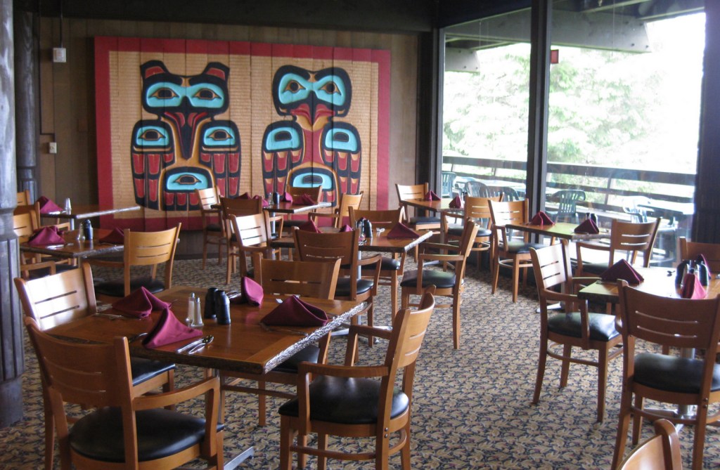
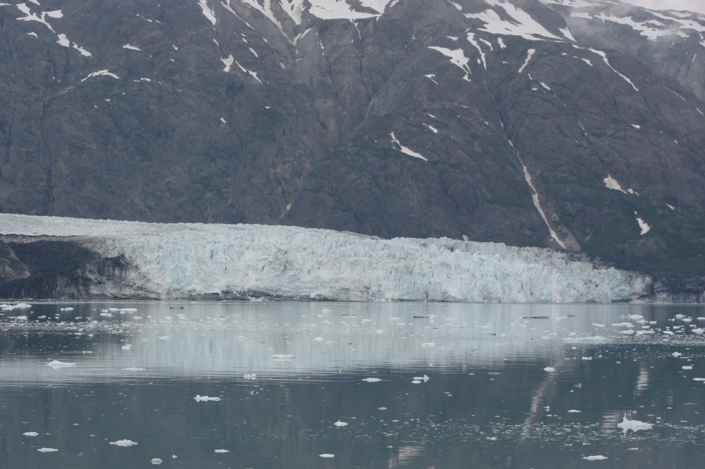
Gustavus, Alaska (population 400) is the gateway to Glacier Bay National Park and Preserve, and can be accessed by air or ferry from Juneau.  Some large cruise ships include the bay on their Inside Passage itinerary, but to get closer and really hear the thunder of cracking Margerie Glacier it is better to take a daytrip aboard a smaller catamaran from the docks at Glacier Bay Lodge.  Guided multi-day kayaking trips are one way to have a wild experience more similar to John Muir’s 1879 exploration detailed in his book Travels in Alaska.  Learn more in our guidebook to the 62 National Parks, A Park to Yourself: Finding Adventure in America’s National Parks (available on Amazon).

Highlights

Sitakaday Narrows, Bartlett River Trail, Margerie Glacier, wildlife

Must-Do Activity

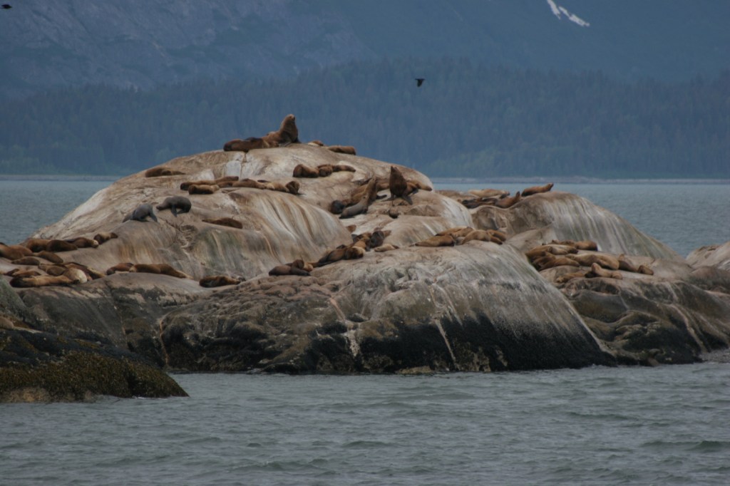
Vacation packages including boat tickets, meals, and a private cabin at the lodge are reasonably priced through the National Park Service (NPS) concessionaire.  Shortly after departing on your all-day boat tour you will see humpback whales in the Sitakaday Narrows, then up the bay are Steller sea lions, harbor seals, and a variety of seabirds.  By scanning the cliffs you might also spot mountain goats and brown bears.  The boat turns around at Margerie Glacier, a great place to witness the thunderous calving of a tidewater glacier, an experience that should be on everyone’s bucket list. 

Best Trail

On the days you are not on the boat, there are several trails around Glacier Bay Lodge or you can explore the shoreline at low tide to see an assortment of marine life. 

Instagram-worthy Photo

Lamplugh Glacier is not as active as Margerie Glacier, but may be more photogenic, which is why we chose to depict it in our logo for this National Park (see below).

Peak Season

Summer

Hours

https://www.nps.gov/glba/planyourvisit/hours.htm

Fees

None for the park, but this is not a cheap place to visit.

Road Conditions

There are no roads to Gustavus, Alaska, which is only accessible by airplane or boat.  The NPS always sends a bus from Glacier Bay Lodge to pick up arrivals at the airport and ferry terminal.

Camping

There is a free NPS campground near Glacier Bay Lodge if you bring your own supplies. 

Related Sites

Sitka National Historical Park (Alaska)

Wrangell-St. Elias National Park and Preserve (Alaska)

Kenai Fjords National Park (Alaska)

This design we created to celebrate Glacier Bay National Park is available on a variety of products at Cafe Press and Amazon.

Explore More – Glacier Bay was named a National Monument in 1925 and was expanded to become the largest NPS site (at the time) in 1939, but when was it finally designated a National Park?

We are a participant in the Amazon Services LLC Associates Program, an affiliate advertising program designed to provide a means for us to earn fees by linking to Amazon.com and affiliated sites.

Fort Sumter and Fort Moultrie National Historical Park

Overview

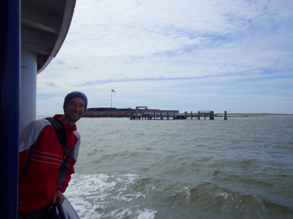
Located at the entrance to the harbor of Charleston, South Carolina, a group of defensive forts have gone through many permutations since the 1770s.  The most famous, the five-sided Fort Sumter was still unfinished (after 30 years of construction) when South Carolina became the first state to secede from the United States on December 20, 1860.  This led Major Robert Anderson to flee Fort Moultrie with 85 Union troops for Fort Sumter, which Confederates fired at on April 12, 1861, marking the first shot of the Civil War.  Fort Sumter is only accessible by ferry, but you can drive a car to the National Park Service (NPS) museum at Fort Moultrie, commemorated on the U.S. quarter-dollar coin minted in 2016.

Highlights

Museum, Fort Moultrie, Fort Sumter, wildlife

Must-Do Activity

Fort Sumter was built upon a sandbar in Charleston Harbor, raised and leveled with 70,000 tons of granite brought down from New England.  A toll ferry takes visitors to the island from downtown Charleston or Patriots Point Naval and Maritime Museum.   Dolphins, pelicans, and shore birds are commonly spotted on the 40-minute ferry ride to Fort Sumter.  Destroyed by the end of the Civil War, the fort today looks nothing like it did back then, having gone through multiple upgrades before it was deactivated in 1947.  At the site, the NPS displays cannons representing each era alongside interpretive signs.

Best Trail

A walk through Fort Moultrie explains its 170 years of military use before it became part of Fort Sumter National Monument in 1948.  Constructed on Sullivan’s Island in South Carolina, Fort Moultrie was not yet finished when a British attack was repelled on June 28, 1776 at the beginning of the Revolutionary War.  After being destroyed during the Civil War, it saw new life during World War I with the placement of disappearing rifles and World War II with anti-aircraft guns. 

Instagram-worthy Photo

Major Robert Anderson surrendered and lowered the U.S. flag on April 14, 1861, though there were no casualties during the bombardment.  After rifled cannons had reduced the fort’s walls to rubble, Major Anderson raised the exact same flag above Fort Sumter four years later to-the-date near the end of the Civil War. 

Peak Season

Summer

Hours

https://www.nps.gov/fosu/planyourvisit/hours.htm

Fees

$10 per person to visit Fort Moultrie (or America the Beautiful pass); charge for passenger ferry to Fort Sumter but no NPS fee

Road Conditions

Free parking at Fort Moultrie, but pay parking for the ferry from Liberty Square in downtown Charleston or Patriots Point Naval and Maritime Museum.

Camping

None

Related Sites

Fort Pulaski National Monument (Georgia)

Charles Pinckney National Historic Site (South Carolina)

Congaree National Park (South Carolina)

Explore More – Who was the famous Native American chief who died of scarlet fever as a prisoner at Fort Moutlrie in 1838?

We are a participant in the Amazon Services LLC Associates Program, an affiliate advertising program designed to provide a means for us to earn fees by linking to Amazon.com and affiliated sites.
Niobrara National Scenic River

Overview

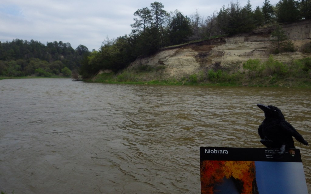
When most folks think of Nebraska they imagine endless dusty prairie scenes of the Oregon Trail, yet between the wide Platte and Missouri Rivers also runs the 535-mile long Niobrara River.  The Niobrara cuts across the 100th Meridian of Longitude that roughly divides in half the continental U.S.  This special area is home to species representative of the eastern forests, Rocky Mountains, boreal forests, and prairies; consequently it has high biodiversity.  The motto on the National Park Service (NPS) signs is “Public Waters, Private Land.”

Highlights

Fort Niobrara National Wildlife Refuge, Fort Falls Trail, Smith Falls State Park, canoeing, tubing

Must-Do Activity

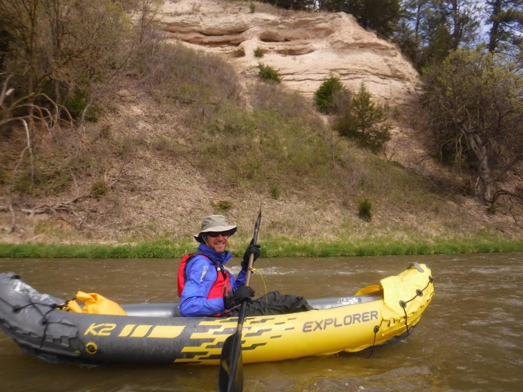
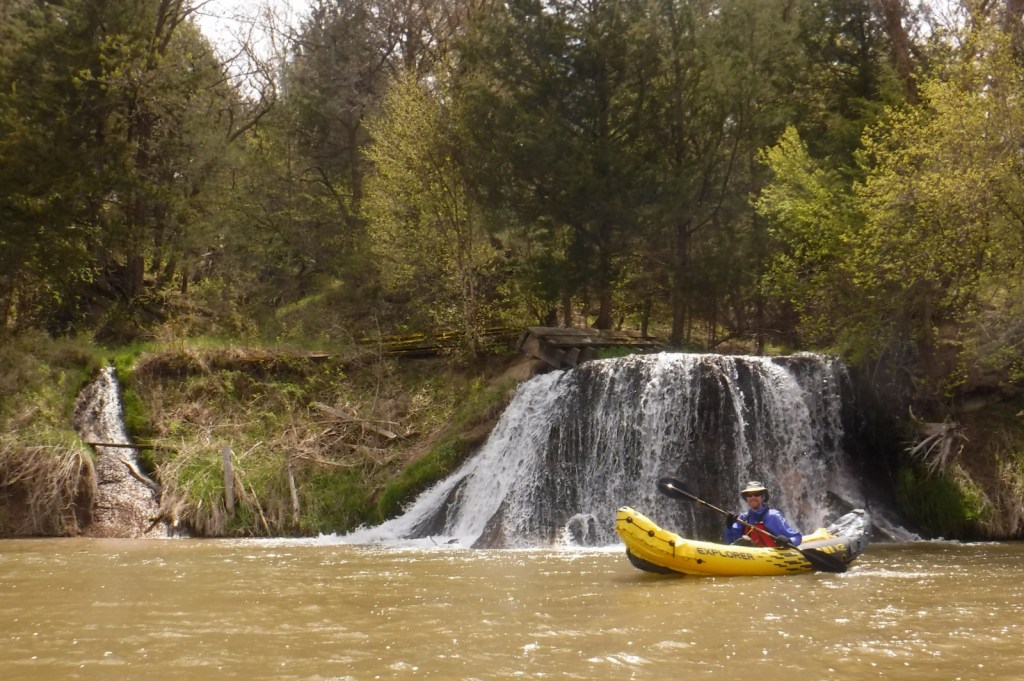
The 76-mile section of river designated the Niobrara National Scenic River in 1991 begins within Fort Niobrara National Wildlife Refuge where the first 4.8 miles are closed to the public.  The 22-mile section starting from Cornell Bridge is the most popular portion for canoers, tubers, and people who float downstream in round metal cattle troughs.  The Niobrara River has a few big Class IV rapids, but nothing more than Class II through the first 27 miles.  We floated to the portage at dangerous Rocky Ford Rapid at high water in May and encountered only Class I rapids and a few strainers along the shorelines.

Best Trail

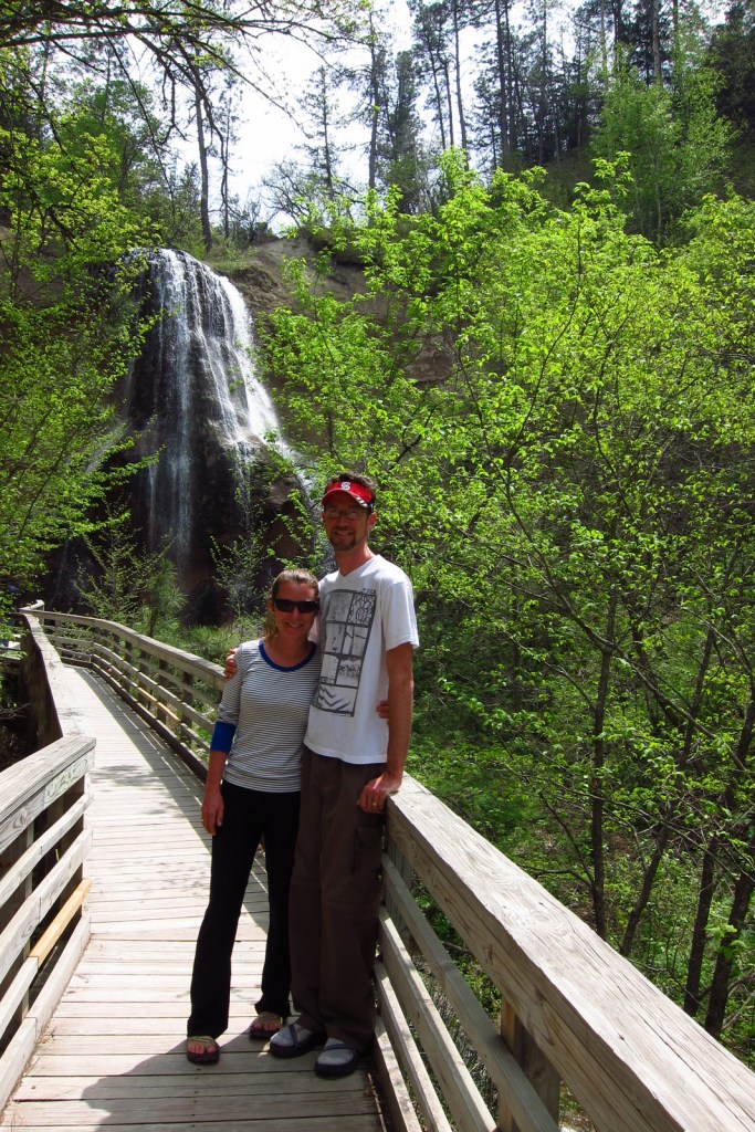
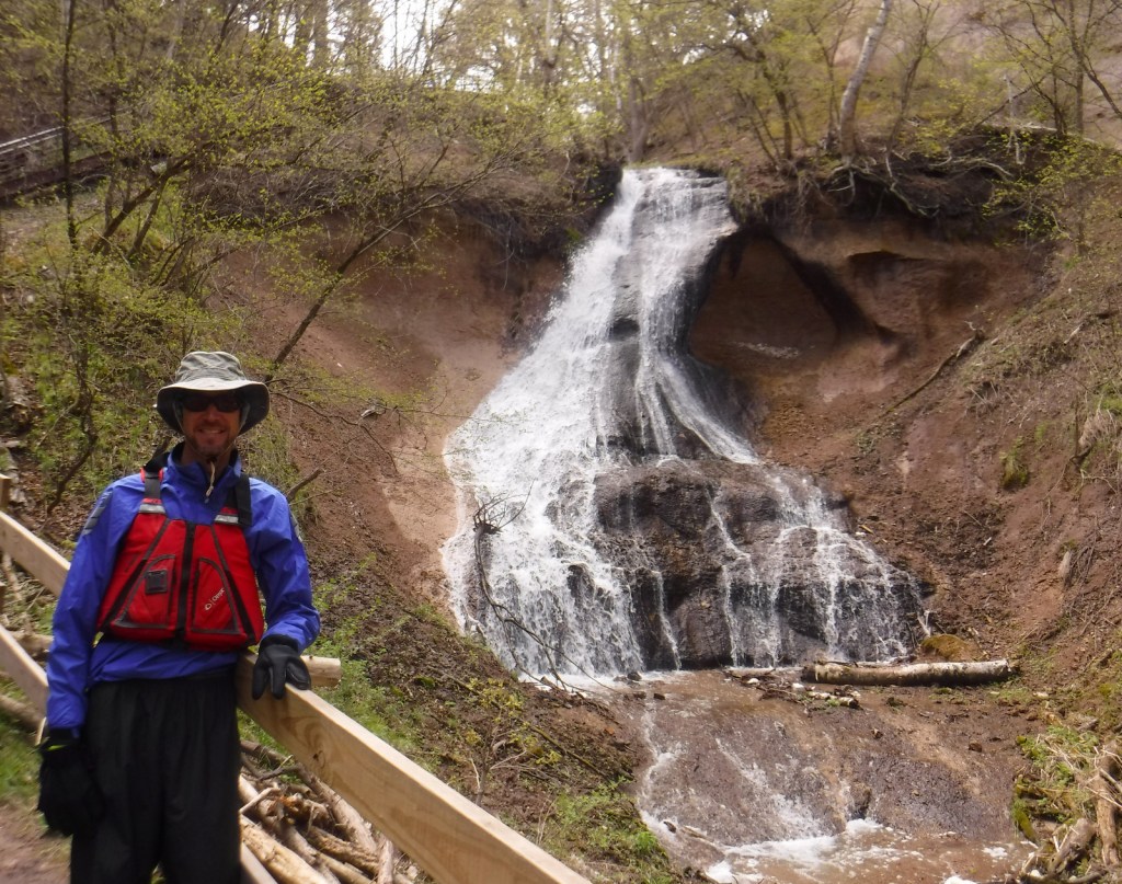
Pull off the river around Mile 15 in Smith Falls State Park to take the short boardwalk to a 63-foot tall waterfall.  The waterfalls along these cliffs are interesting because instead of pouring off a cut bank they develop a prominent ledge that grows as the limestone is dissolved and redeposited (like a cave formation).  You can also drive to the state park and walk over the Niobrara River on the Verdigre Bridge, originally built in 1910 and relocated here in 1996.
Instagram-worthy Photo

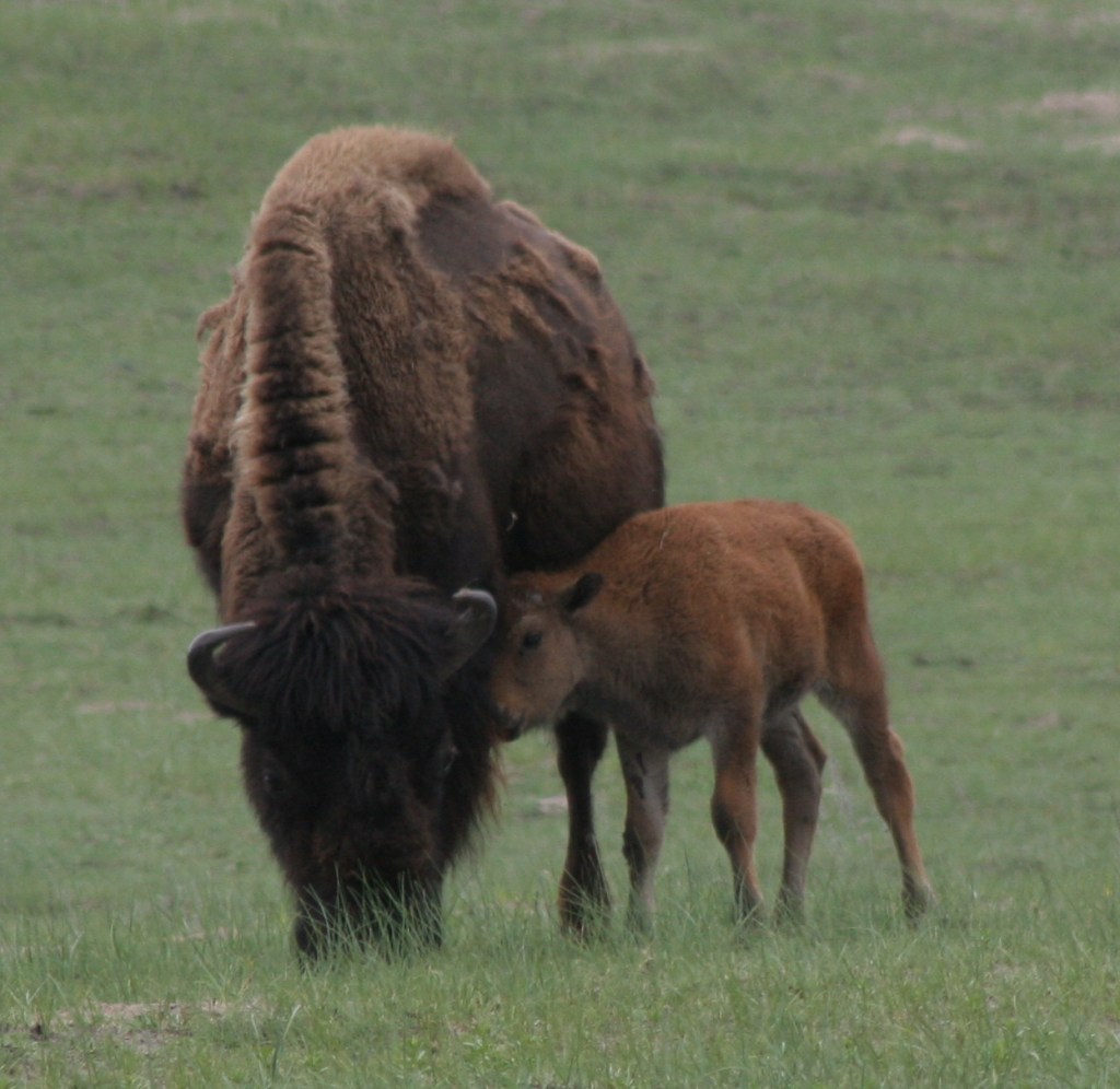
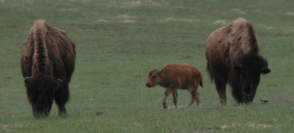
Do not miss the opportunity to drive the dirt road through Fort Niobrara National Wildlife Refuge to see the bison herd, especially in May when the bison calves are born.  The refuge also contains the short Fort Falls Trail, which forms a loop with views of a 45-foot tall waterfall.

Peak Season

Summer, though water levels drop after June.

Hours

https://www.nps.gov/niob/planyourvisit/hours.htm

Fees

None for the river, but there is a $1 per person launch fee in Fort Niobrara National Wildlife Refuge and entry/camping fees at Smith Falls State Park.

Road Conditions

The dirt roads in Fort Niobrara National Wildlife Refuge and Smith Falls State Park are well-maintained and passable to all vehicles.

Camping

Camping options are limited since most of the river banks are privately owned, though Smith Falls State Park offers a campground ($6/person/night) and other private campsites are marked on river maps.

Related Sites

Missouri National Recreation River (Nebraska-South Dakota)

Agate Fossil Beds National Monument (Nebraska)

Scotts Bluff National Monument (Nebraska)

Explore More – Named for a town in Nebraska, the Valentine Formation holds what types of fossils?

Cumberland Island National Seashore

Overview

Off the coast of Georgia, Cumberland Island National Seashore was established in 1972 and is only accessible by boat.  While kayaks and private boats are allowed, most visitors arrive by ferry from St. Marys (reservations recommended).  Much of the northern half of the island is designated wilderness with backpacking campsites dispersed near places where freshwater is available for filtration.  Bicycles can be rented once you arrive on the island (they are not allowed on the ferry) and are permitted on the many miles of roads, but not on the trails or beach. 

Highlights

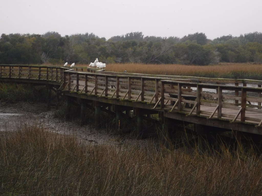
Dungeness Ruins, Ice House Museum, Marsh Boardwalk, First African Baptist Church

Must-Do Activity

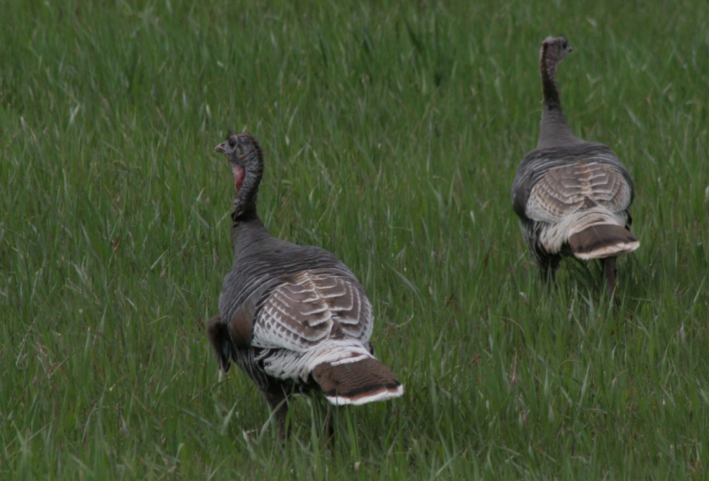
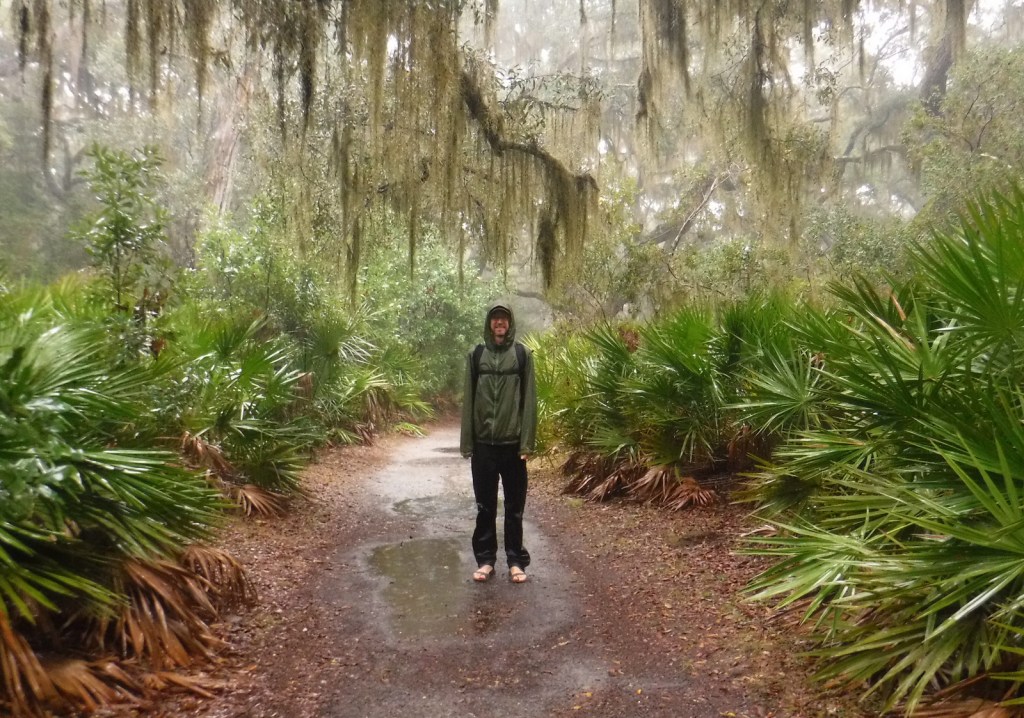
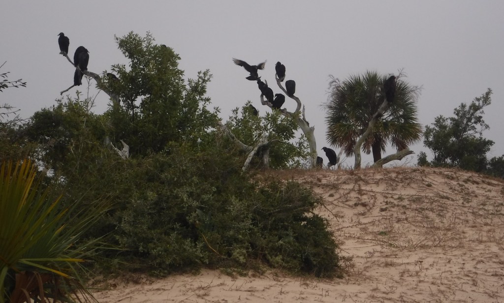
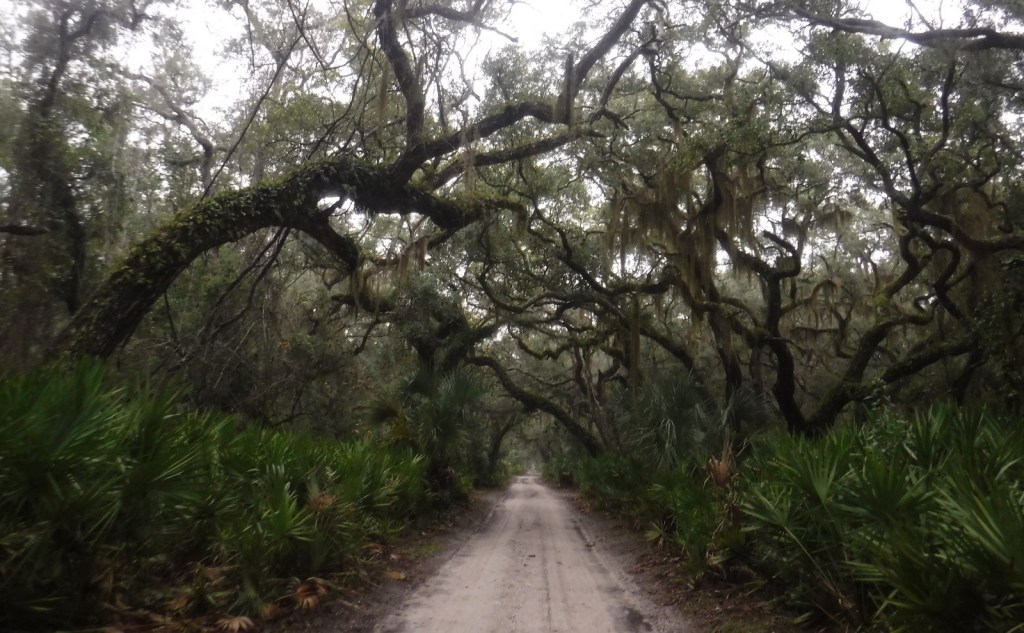
While it is fun to spend time beachcombing, what really sets Cumberland Island apart are the trails that cut through the maritime forest of twisty live oak trees.  Watch for feral horses, white-tailed deer, armadillos, turkeys, and other birds along the way.  Alligators can also be seen in the freshwater ponds.  Fossilized shark teeth are commonly found on the island, especially on the roads.  Guided tours in vans can be reserved, which can be a good option on rainy days or if you want to make it to the 1890s African-American settlement at the northern end of the island.

Best Trail

The island has more than 50 miles of trails and you can form loops of varying lengths by walking the beach and the inland Parallel Trail.  The trails are very well packed though sandy, and not as hard to walk on as we imagined.  The only deep sand we encountered was on the designated dune crossings between the beach and the inland forest.

Instagram-worthy Photo

Dungeness is the name of a mansion built by the Carnegie family that burned down in 1959.  It was constructed atop the ruins of a house of the same name previously owned by Revolutionary War General Nathanael Greene.

Peak Season

Summer

Hours

https://www.nps.gov/cuis/planyourvisit/hours.htm

Fees

$10 per person or America the Beautiful pass, plus the charges for ferry tickets and overnight campsites

Road Conditions

Roads are packed sand and heavily rutted, but unless you own property on the island or take the van tour you will not have to worry about their spine-rattling condition.

Camping

Reservations are required for all overnight stays, including at the privately-owned inn.  Sea Camp offers cold showers and potable water a moderately short walk from the ferry dock.  There are numerous backcountry campsites, but all camping is limited to seven days.

Related Sites

Fort Frederica National Monument (Georgia)

Timucuan Ecological and Historic Preserve (Florida)

Cape Lookout National Seashore (North Carolina)

Explore More – Related to American Quarter Horses, Tennessee Walkers, Arabians, and Paso Fino, what is the total population of feral horses living on Cumberland Island?

Rock Creek Park

Overview

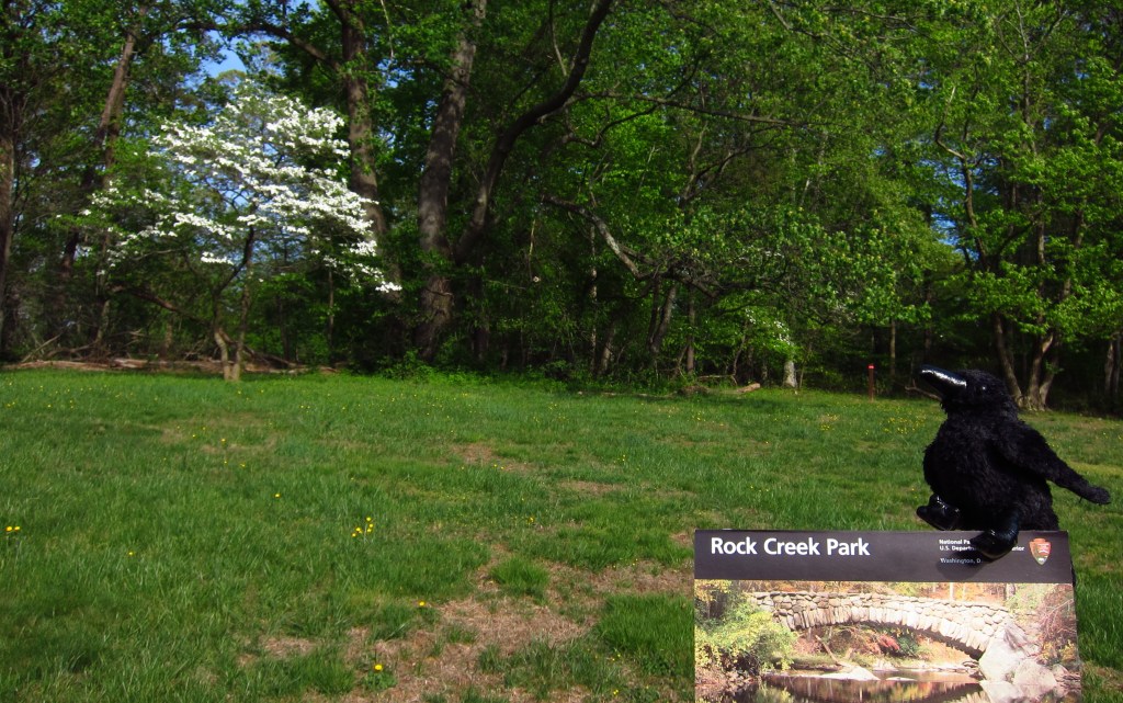
We are used to National Monuments and National Historical Parks being listed among the 419 units in the National Park Service (NPS) system, but there are also 11 sites that fall under the category of “Other.”  One of these is Rock Creek Park, a 1,754-acre urban park in northwestern Washington, D.C. established in 1890.  It contains an equestrian center and 13 miles of bridle trails, as well as the Thompson Boat Center, which rents bicycles and a variety of non-motorized boats.  It also has the amenities you would typically associate with any park, like picnic areas, tennis courts, playgrounds, and an amphitheater offering free concerts and plays during the summer.

Highlights

Nature Center and Planetarium, Peirce Mill, Old Stone House, Fort Stevens

Must-Do Activity

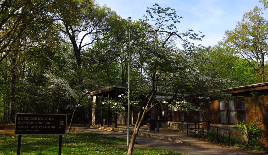
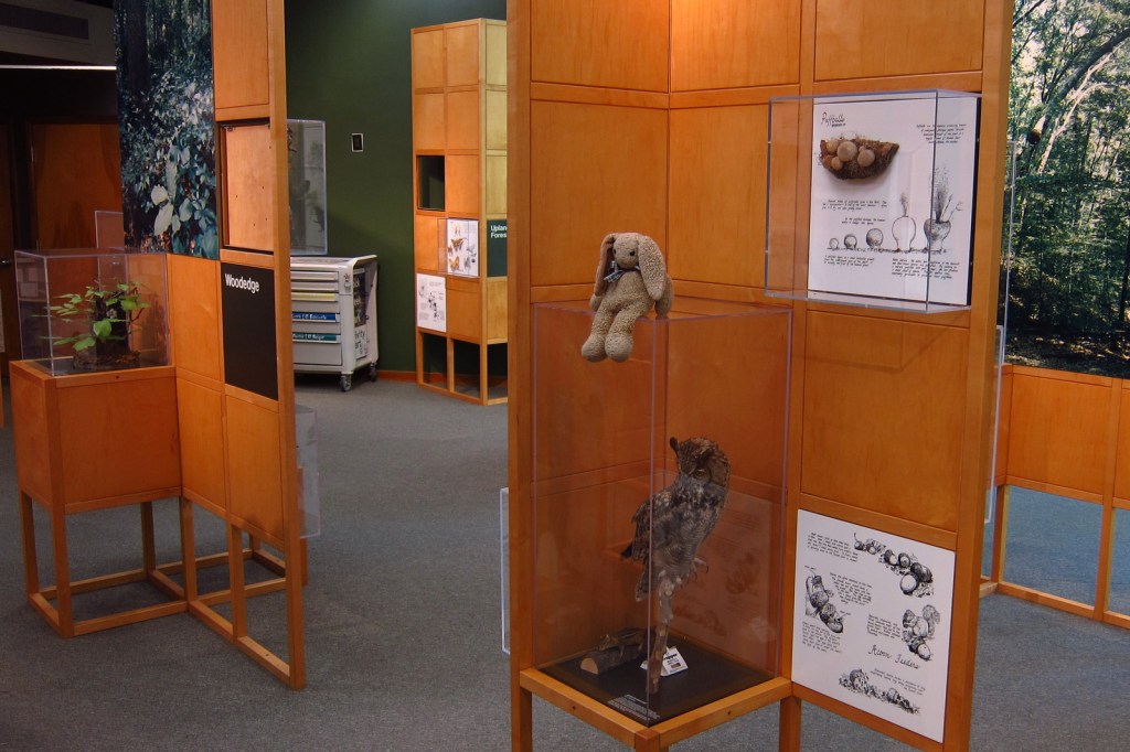
Rock Creek Park contains the only planetarium in the entire NPS system, which is at the same location as the Nature Center.  The planetarium offers free astronomy programs and holds monthly stargazing programs between April and November.  The site of Civil War-era Fort Stevens is located east of the main park where interpretive information explains the July 1864 battle that took place there.  It was during a visit to the fort that Abraham Lincoln became the only sitting president to ever come under enemy fire during wartime.

Best Trail

There are 25 miles of trails within Rock Creek Park, plus they connect to parkland in bordering Maryland.

Instagram-worthy Photo

Peirce Mill was originally in operation from the 1820s to 1897, utilizing slave labor (until the Civil War) to run the flour mill, sawmill, distillery, and nursery.  The mill was renovated by the NPS in the 1930s to produce flour during World War II and remains open to visitors seasonally.

Peak Season

Summer

Hours

https://www.nps.gov/rocr/planyourvisit/hours.htm

Fees

None

Road Conditions

All roads are paved, though some are closed on weekends and holidays for non-motorized users.

Camping

None

Related Sites

Fort Washington Park (Maryland)

Theodore Roosevelt Island (District of Columbia)

Franklin Delano Roosevelt Memorial (District of Columbia)

Explore More – Rock Creek also flows through the fee-free National Zoological Park, which is managed by what institution?