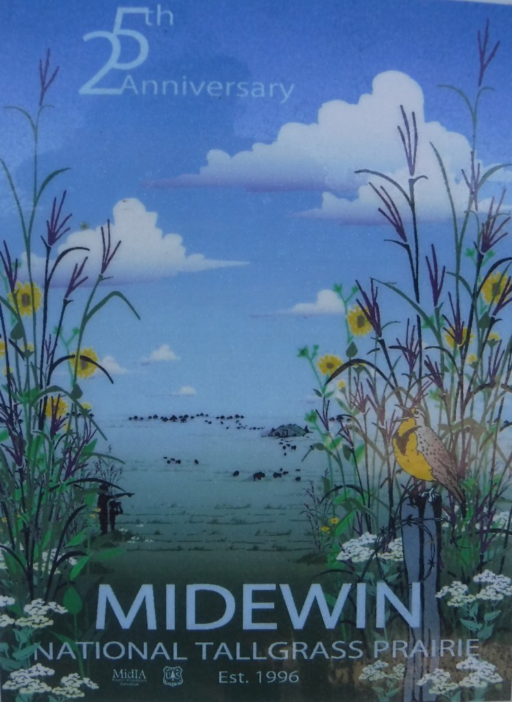
Midewin National Tallgrass Prairie
Illinois
Managed by U.S. Forest Service, Northern Region
20,283 acres
Website: https://www.fs.usda.gov/midewin
Overview
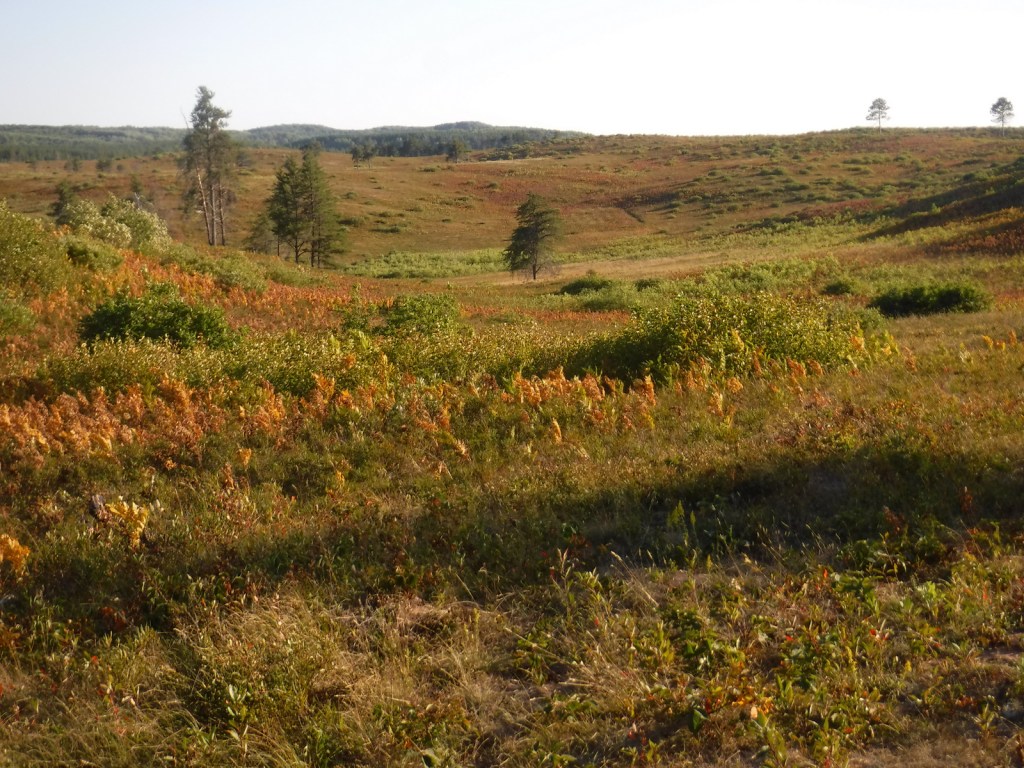
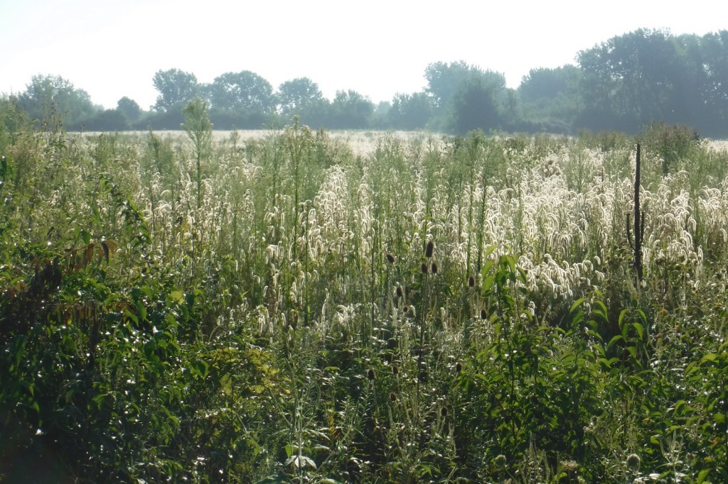
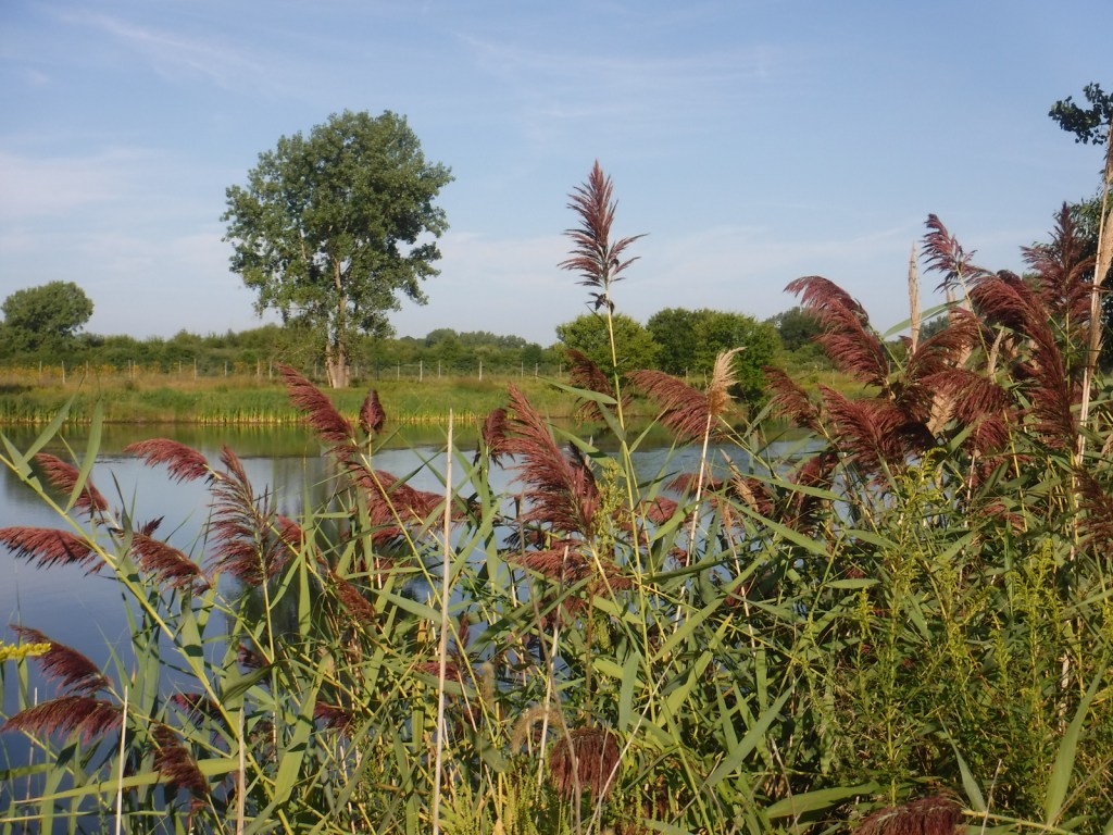
Midewin National Tallgrass Prairie was established in 1996 and opened to visitors eight years later following some ecological restoration and decontamination. It is located on the site of the Joliet Army Ammunition Plant that produced TNT from 1940 to 1976. In combination with neighboring Des Plaines Fish and Wildlife Area and other preserves, over 40,000 acres are protected in this area south of Chicago’s suburbs. Restoration of the tallgrass prairie is ongoing with planting and prescribed burning to promote the growth of native plants. In 2015, 27 bison were introduced on 1,200 acres and the herd has grown to more than 50. Midewin (pronounced “mi-DAY-win”) is a Potowatomi word referring to tribal healers.
Highlights
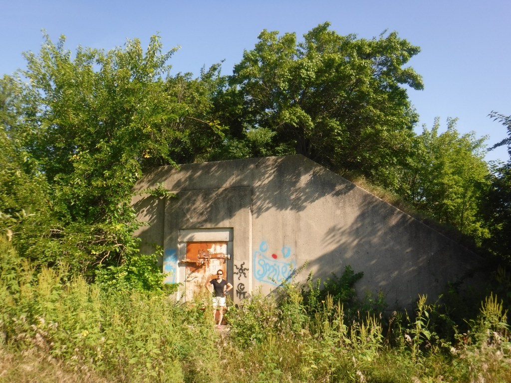
Midewin Welcome Center, Route 66, historic bunkers, bison herd
Must-Do Activity
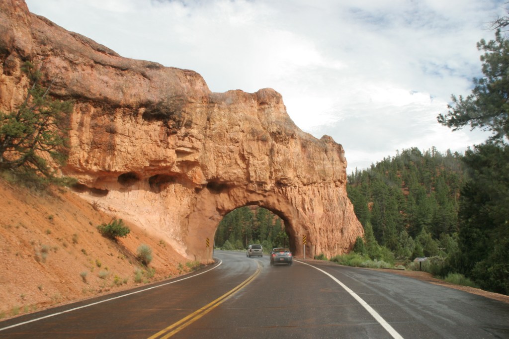
The best place to start a visit is the Midewin Welcome Center on Highway 53, just south of the Southwest Bison Overlook. There you can read about the history of the area, pick up pamphlets on birds and wildflowers, and get information on the more than 30 miles of trails, including 21.7 miles open to bikers and equestrians. The 7,000 acres of accessible public lands are open 4 a.m. to 10 p.m. daily.
Best Trail
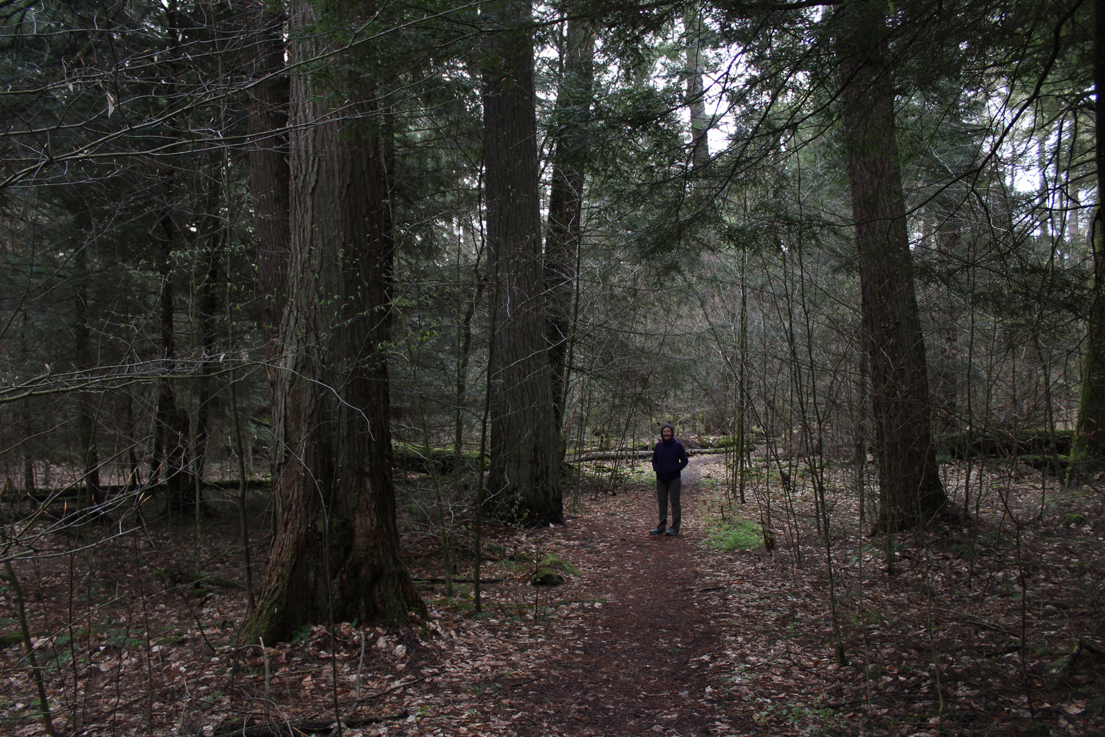
Several trails leave from the Iron Bridge Trailhead north of the visitor center. We took Group 63 Trail that starts in a forest then opens up as it accesses Bunker 63-1, which is unlocked for exploration. The entire trail makes a 3.5-mile loop around a group of bunkers following the northern border of the fenced-off bison pasture.
Watchable Wildlife
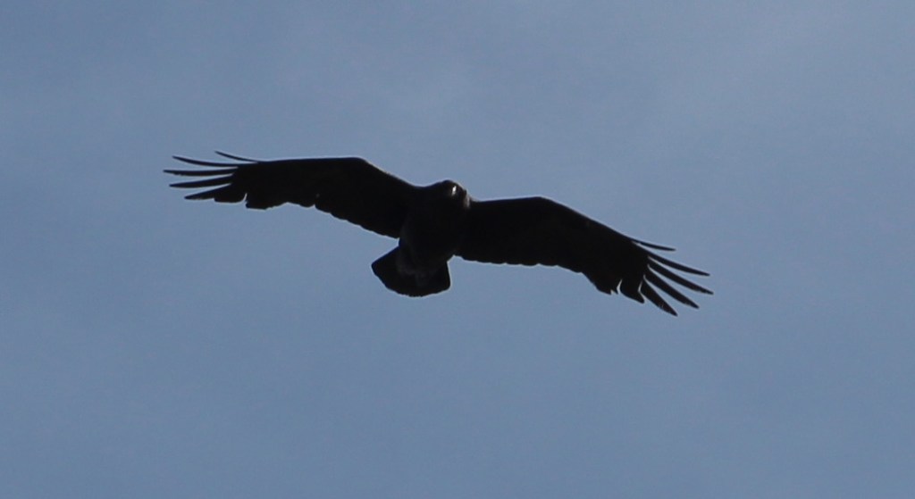
Midewin remains the only federal tallgrass prairie preserve east of the Mississippi River, restoring an extremely rare ecosystem that was mostly converted to agriculture. Golden gophers (or 13-lined ground squirrels) fill the ecological niche of prairie dogs here. Coyotes and white-tailed deer are also found in this area. In 2015, bison were introduced on 1,200 acres of the preserve, and the herd has increased from the original four bulls and 23 cows. A color pamphlet highlighting native birds is available at the visitor center and trailheads. In addition to songbirds, raptors like red-tailed hawks, northern harriers, and short-eared owls can be seen. We came across a flock of turkeys near the turtle pond south of Hoff Road.
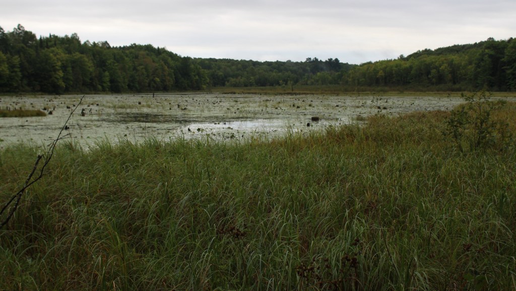
Instagram-worthy Photo
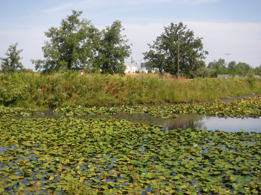
A turtle pond is accessible by walking a closed road one mile from the Hoff Road Trailhead.

Peak Season
Spring
Fees
None
Road Conditions
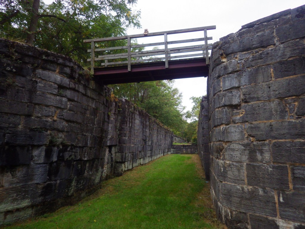
The main access roads are paved and the trailhead parking areas are gravel lots. Many of the trails are former roads, both paved and unpaved. At the Iron Bridge Trailhead, bicycles are available to rent as part of the 75 miles of trails following the Illinois and Michigan Canal National Heritage Corridor.
Camping
There is no camping at Midewin National Tallgrass Prairie, as the public lands are only open 4 a.m. to 10 p.m. daily. Campgrounds outside of Chicago include Starved Rock State Park, Illini State Park, Des Plaines Conservation Area, and across the state border at Indiana Dunes National Park.
Related Sites
Tallgrass Prairie National Preserve (Kansas)
Pullman National Historical Park (Illinois)
Cedar River National Grassland (North Dakota)
Nearest National Park


Explore More – During World War II, 3,400 women worked at the Joliet Army Ammunition Plant, representing what percentage of the workforce?