Tag Archives: biking

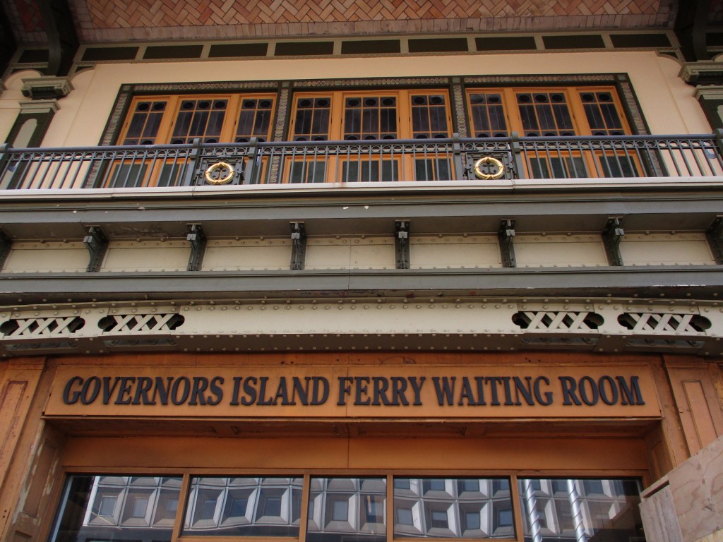
Governors Island National Monument

Governors Island National Monument

New York

Managed by National Park Service

Established 2001

22 acres

Website: nps.gov/gois

Overview

Originally named Nutten Island by the Dutch who settled New Amsterdam in 1624, this 172-acre island off Manhattan was later set aside for the exclusive use of the British royal governors of New York.  The indigenous Lenape called it Paggank (“Nut Island”) because of its chestnut, hickory, and oak trees.  After 200 years of military use by the Army and Coast Guard, Governors Island was retired in 1996.  Like nearby Castle Clinton National Monument, Fort Jay and Castle Williams date to pre-War of 1812 and were saved from demolition in 1901 by forward-thinking Secretary of War Elihu Root.  Over the decades, the island served as a Civil War prison, a muster area for troops during the Mexican-American War and World War II, the largest Coast Guard base in the nation for its final 30 years, and runway for Wilbur Wright’s 1909 flight around the Statue of Liberty.  Governors Island National Monument is part of a 90-acre National Historic Landmark District that contains the commanding officer’s quarters known as the Admiral’s House.

Learn more about the other 137 National Monuments in our book Monumental America: Your Guide to All 138 National Monuments. It is now available for sale on Amazon.com.
Highlights

Ferry, Castle Williams, Fort Jay

Must-Do Activity

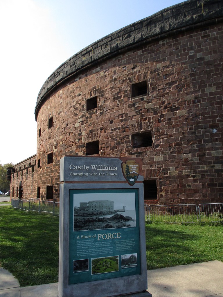
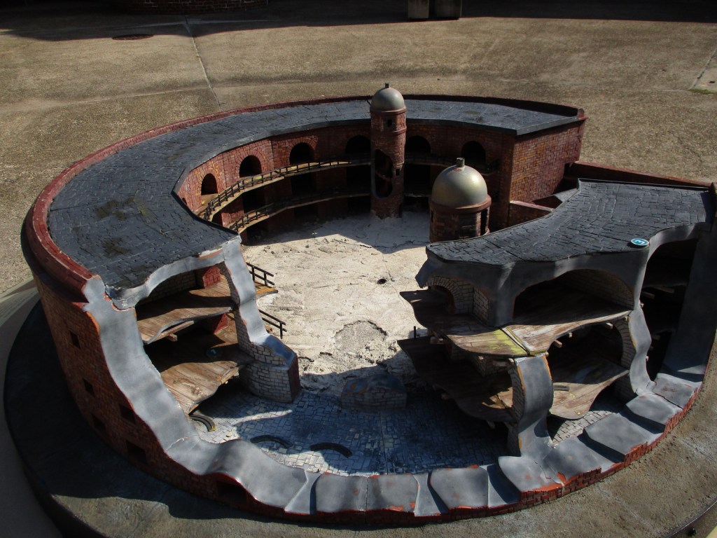
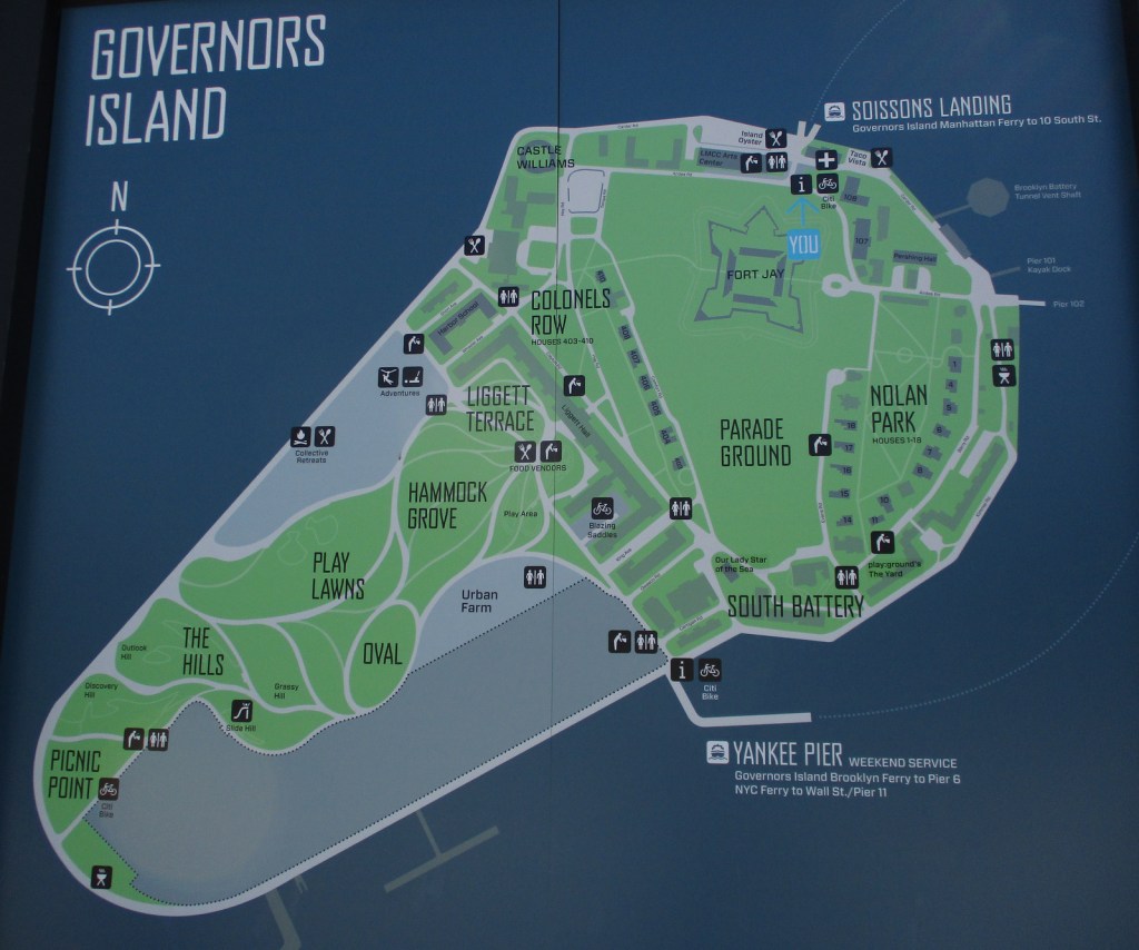
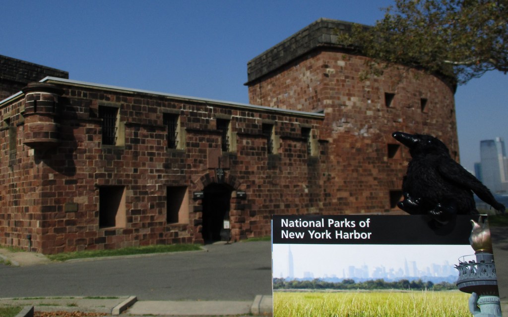
Private boats are not allowed, so the only way to get onto Governors Island is by ferry and it is only open to visitors from Memorial Day weekend through September.  From the Battery Maritime Building in Lower Manhattan you will dock at Soissons Landing near Fort Jay.  There may also be weekend ferry service from Brooklyn Bridge Park Pier 6 and Wall Street/Pier 11 that both land at Yankee Pier near the South Battery.  During special events, living history demonstrations celebrate the island’s military heritage.  Near Soissons Landing, be sure to enter Castle Williams and Fort Jay, which have interpretive signs from the National Park Service.

Best Trail

Most visitors do not go much south of the Parade Ground, but almost the entire island is open for walking or biking (rentals available) on the old roads.

Photographic Opportunity

On a clear day, the ferry boat and island both afford incredible views of the New York City skyline, Ellis Island, and Statue of Liberty.

Peak Season

Summer

Hours

https://www.nps.gov/gois/planyourvisit/basicinfo.htm

Fees

Ferry tickets cost about $5 roundtrip for an adult.

Road Conditions

Roads are heavily trafficked in New York City and there is no designated parking for the National Park Service site, so we recommend you take the subway to access the ferry.

Camping

Collective Retreats has glamping tents and suites on their private property on the west side of Governors Island. Click here to visit their website for details.

Related Sites

Castle Clinton National Monument (New York)

African Burial Ground National Monument (New York)

Hamilton Grange National Memorial (New York)

Explore More – What group owns and manages the other 150 acres of Governors Island that is not part of the National Monument?

Learn more about the other 137 National Monuments in our book Monumental America: Your Guide to All 138 National Monuments
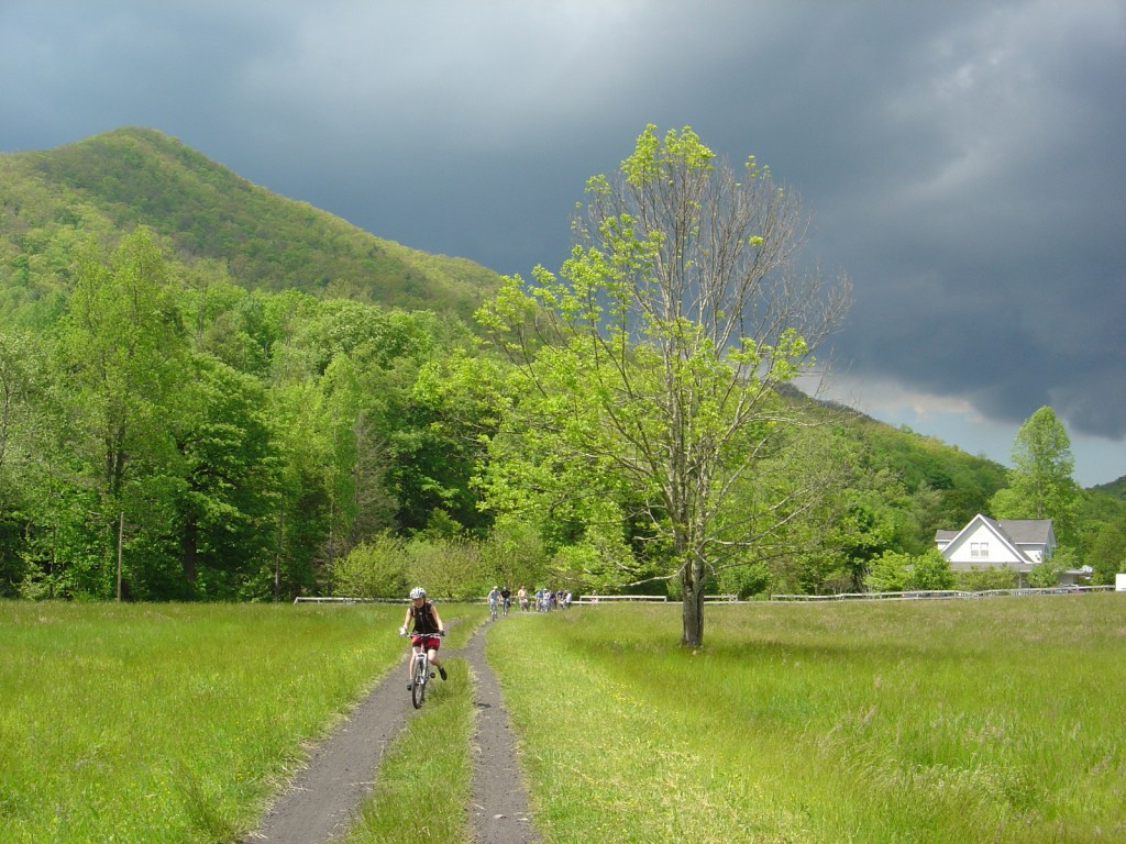
Mt. Rogers National Recreation Area

Mt. Rogers National Recreation Area

Virginia

Managed by U.S. Forest Service, Southern Region

154,816 acres

Website: https://www.fs.usda.gov/recarea/gwj/recarea/?recid=77722

Overview

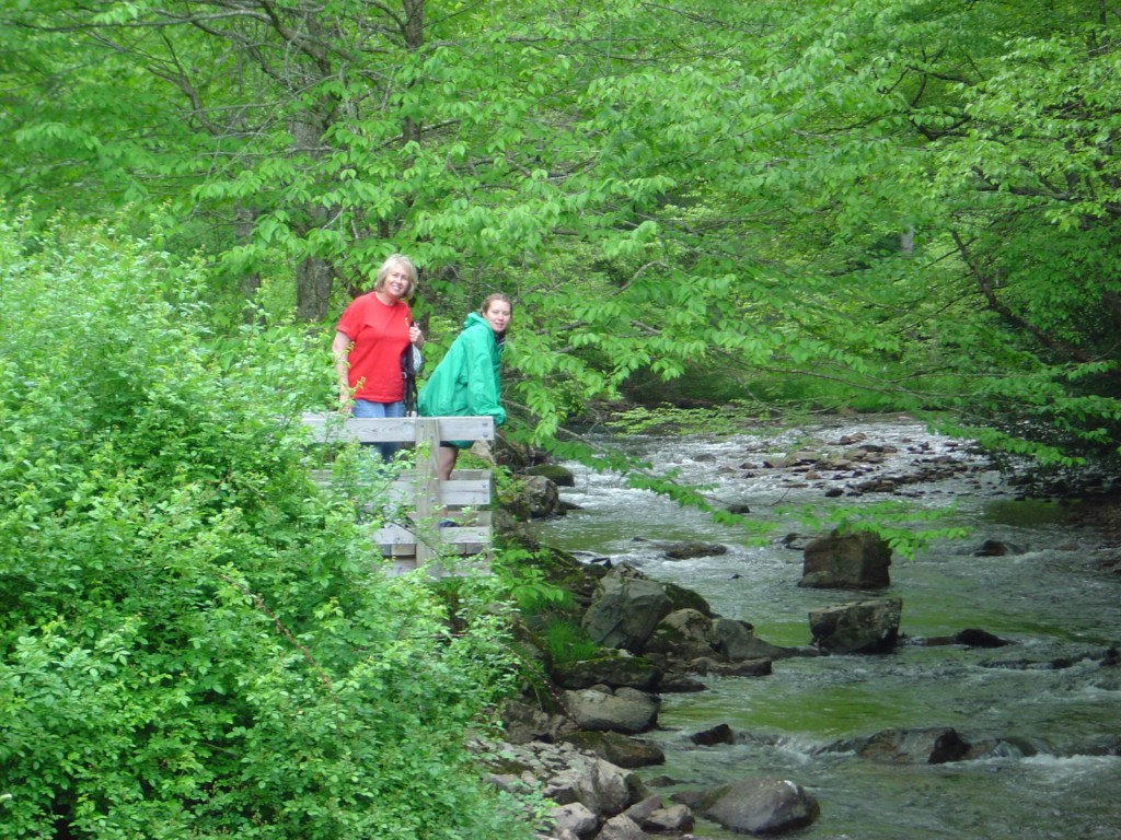
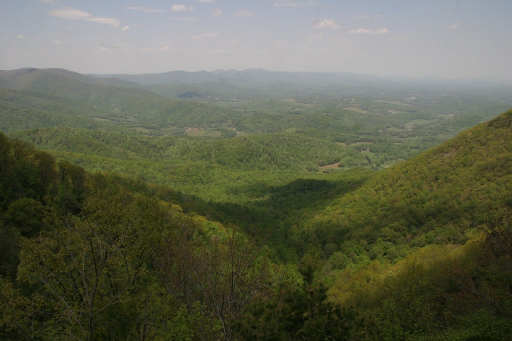
In southwestern Virginia, Jefferson National Forest manages Mt. Rogers National Recreation Area, which was established in 1966.  Although it is only 154,816 acres in extent, Mt. Rogers National Recreation Area encompasses the highest point in Virginia at 5,729 feet, four federally designated Wilderness areas (totaling 18,500 acres), and nearly 500 miles of trails.  At Raven Cliff Recreation Area, a short trail crosses an interesting bridge over Cripple Creek to access an old iron furnace that operated until the early 1900s.  Nearby at Collins Cove is a rare example of an old-growth cove hardwood forest.

It even made it on our Top 10 National Recreation Areas list.

Highlights

Seng Mountain National Scenic Area, Mt. Rogers, Whitetop Mountain, Elk Garden, Raven Cliff Recreation Area, New River Recreation Area, Beartree Recreation Area, Comer’s Rock, Falls Branch Waterfall, New River State Park, Grayson Highlands State Park, Two Ponds Nature Trail, Virginia Creeper Trail, Horse Heaven Trail, Iron Mountain Trail, Appalachian National Scenic Trail

Must-Do Activity

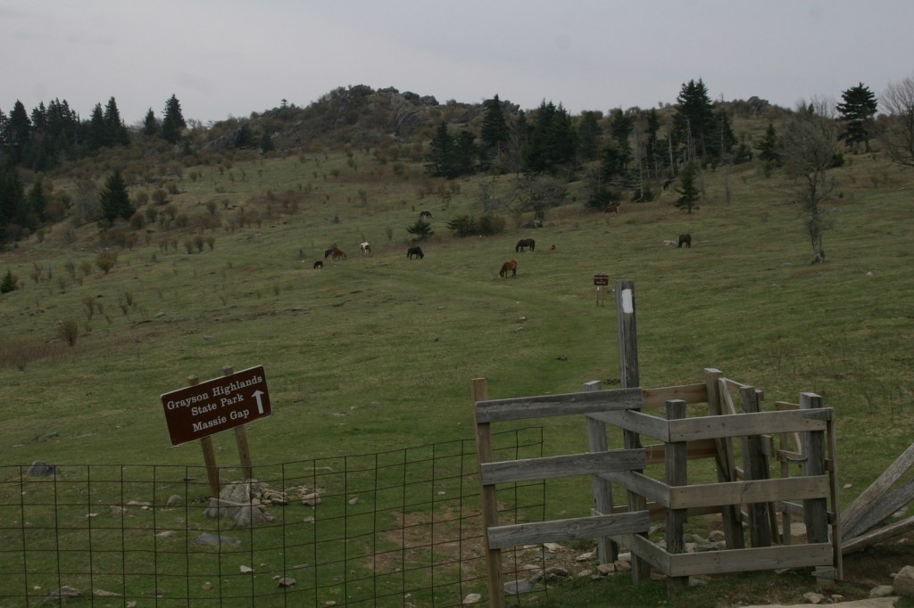
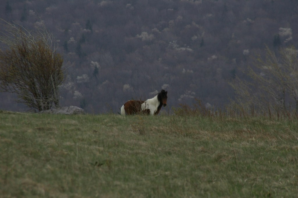
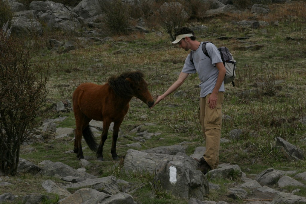
Pat Jennings Visitor Center is located six miles south of Interstate 81 in Brushy Mountain, and there are two visitor centers situated along the Virginia Creeper Rail Trail (see our post on Jefferson National Forest).  There are multiple routes to reach the summit of Mt. Rogers, but the two shortest are both 4.5 miles one-way from Elk Garden (on State Route 600) or Grayson Highlands State Park (that gains about 1,350 feet in elevation).  At Massie Gap, we encountered a herd of wild miniature ponies that had no fear of humans and liked to lick the salt from our skin, but watch your fingers because they will bite.

Best Trail

There are about 500 miles of hiking trails within Mt. Rogers National Recreation Area, including 78 miles of the famous Appalachian National Scenic Trail (or A.T.).  The A.T. runs through the Lewis Fork Wilderness, which also features the Virginia Highlands, Mt. Rogers, Grassy Branch, Helton Creek, Cliffside, Pine Mountain, and Sugar Maple Trails.  The A.T. also traverses the Little Wilson Creek Wilderness, as do the First Peak, Bearpen, Kabel, Hightree Rock, and Little Wilson Creek Trails.

Instagram-worthy Photo

A beat-up USGS marker can be found at the highest point in Virginia on 5,729-foot Mt. Rogers, located on a short spur trail off the A.T.

Peak Season

Summer

Fees

$5 day use fee at Beartree Recreation Area

Road Conditions

All the roads we drove in Mt. Rogers National Recreation Area were paved.

Camping

There are eight campgrounds, four horse camps, and two rental cabins in Mt. Rogers National Recreation Area.  Grindstone Campground has nature trails and an amphitheater, Hurricane Campground offers a one-mile loop trail, and Raccoon Branch Campground is popular with trout fishermen.  We stayed at Chestnut Hollow Campground in Grayson Highlands State Park and had the place to ourselves in early May.  There is a 25-foot right-of-way for backpack camping on both sides of the Virginia Creeper Trail (see our post on Jefferson National Forest), except on private property.

Related Sites

Jefferson National Forest (Virginia-Kentucky-West Virginia)

Blue Ridge Parkway (North Carolina-Virginia)

Cherokee National Forest (Tennessee-North Carolina)

Nearest National Park

Shenandoah

Explore More – Common to the high elevations of Mt. Rogers National Recreation Area, what exactly is a heath bald?

Homochitto National Forest

Homochitto National Forest

Mississippi

Managed by U.S. Forest Service, Southern Region

373,497 acres (191,839 federal/ 181,658 other)

Website: https://www.fs.usda.gov/recarea/mississippi/recarea/?recid=28865

Overview

In southwest Mississippi, Homochitto National Forest is comprised of former cotton fields purchased and replanted with trees by the federal government in the 1930s.  It is named for the 90-mile-long Homochitto (“huh-mah-CHIT-ah”) River that runs through the forest on its way to the Mississippi River south of Natchez.  All six National Forests in Mississippi are managed as one administrative unit, including Bienville, De Soto, Delta, Holly Springs, Homochitto, and Tombigbee National Forests.  The Homochitto district ranger station is located in Meadville.

Highlights

Clear Springs Lake Recreation Area, Pipes Lake Recreation Area, Mt. Nebo Recreation Area, Stephenson Lookout Tower, Pellucid Bayou, Brushy Creek Loop, Tally’s Creek Trail, Richardson Creek Trail

Must-Do Activity

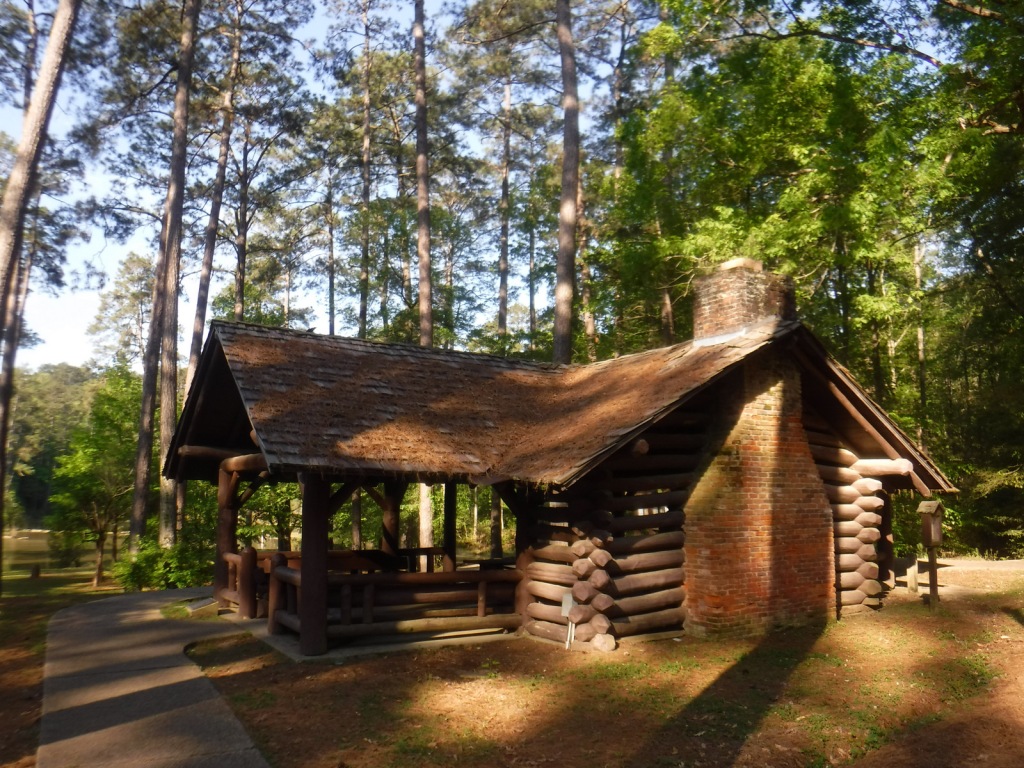
Homochitto National Forest has developed facilities at three small lakes: Clear Springs, Pipes, and Mt. Nebo.  A one-mile trail encircles scenic Clear Springs Lake, which has a picnic shelter built by the Civilian Conservation Corps (CCC) in 1935 listed on the National Register of Historic Places.  Elsewhere, Brushy Creek Loop is a 5.7-mile horse trail that is not recommended for hikers due to abundant mud and manure.

Best Trail

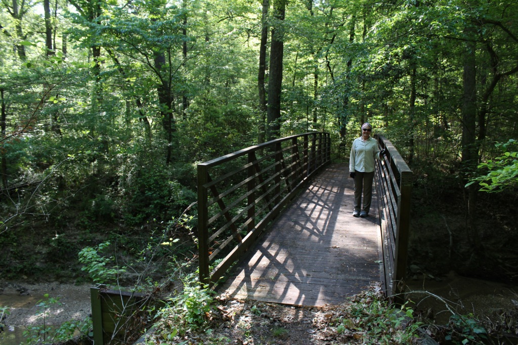
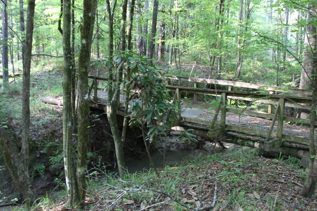
Just north of the Clear Springs Lake Campground is a trailhead (fee) for three long hiking trails, also maintained for mountain biking.  Only the 10-mile-long Richardson Creek Trail was open during our visit with Tally’s Creek (10.8 miles) and Mill Branch (5.6 miles) closed due to downed trees.  The route was well-marked with red blazes and had several nice bridges as it wound through the forested hills around Richardson Creek.

Watchable Wildlife

Clear Springs Lake has a sign warning of alligators, but we did not see any reptiles other than painted turtles.  While camping overnight we heard what possibly was a frog making an interesting call that sounded like a lightsaber from Star Wars.  Birds we spotted were a wild turkey, cardinal, goldfinch, and tufted titmouse.  It is likely the National Forest allows hunting for white-tailed deer, wild turkey, ducks, and invasive wild pigs.  Fishing for largemouth bass, catfish, and other species is allowed at Clear Springs, Pipes, and Mt. Nebo Lakes.

Instagram-worthy Photo

The picnic shelter at Clear Springs Lake was built by the Civilian Conservation Corps (CCC) in 1935 and is listed on the National Register of Historic Places. 

Peak Season

Spring and fall

Fees

Clear Springs Lake Recreation Area charges a day use fee of $5 per vehicle or half price with the America the Beautiful pass. 

Road Conditions

The road is paved to Clear Springs Lake, about 32 miles east of Natchez.

Camping

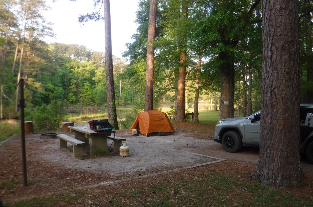
There is a nice campground with showers on Clear Springs Lake, accessed by a paved road four miles south of Highway 84.  Campsites with hookups cost $20 per night and those without cost $7. 

Wilderness Areas

None

Related Sites

De Soto National Forest (Mississippi)

Natchez National Historical Park (Mississippi)

Natchez Trace National Scenic Trail (Mississippi-Alabama-Tennessee)

Nearest National Park

Hot Springs

Conifer Tree Species

baldcypress, shortleaf pine, loblolly pine, longleaf pine

Flowering Tree Species

tulip-poplar, American beech, water oak, Nuttall oak, cherrybark oak, southern red oak, sweet bay, red maple, swamp red maple, horse sugar, chesnut oak, sweetgum, devil’s walkingstick, American holly, hophornbeam, southern magnolia, umbrella magnolia, tupelo gum, flowering dogwood

Explore More – The Homochitto River still carries its Choctaw name, which translates as what?

Learn more about this and the 154 other National Forests in our new guidebook Out in the Woods

Grand Island National Recreation Area

Grand Island National Recreation Area

Michigan

Managed by U.S. Forest Service, Eastern Region

13,279 acres

Website: https://www.fs.usda.gov/recarea/hiawatha/recarea/?recid=13270

Overview

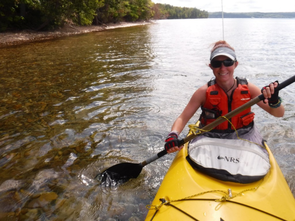
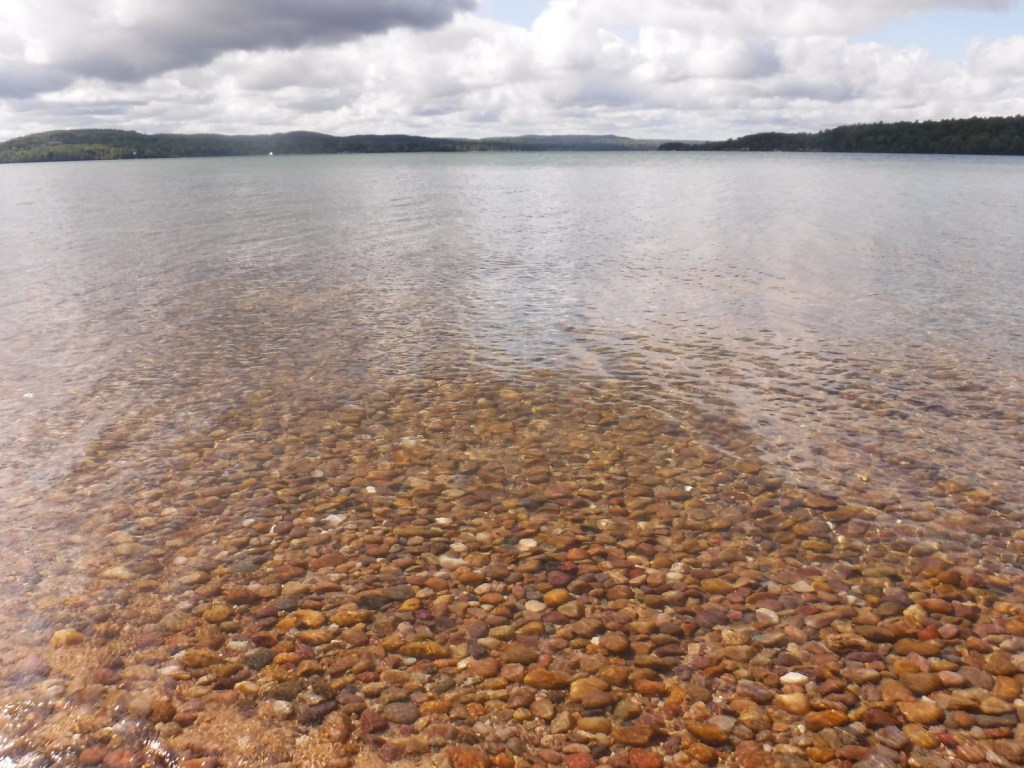
The turquoise color of Lake Superior beneath the sandstone cliffs of Grand Island National Recreation Area makes it seem warmer than it actually is.  Glaciers carved this island’s shoreline thousands of years ago and the Ice Age never seems far off in the lake’s cold waters.  Managed by Hiawatha National Forest, the most popular activities here are commercial boat tours, backpacking, and mountain biking the 20-mile loop around the island.  Paddling a sea kayak can be an unforgettable experience and guides can provide the necessary gear.  Most of the northern two-thirds of Grand Island is surrounded by cliffs with nowhere to land a boat, so be careful as large waves can become hazardous on Lake Superior. 

Highlights

East Channel Lighthouse, 1870 wreck of the Bermuda, Williams-Powell Cemetery, Stone Quarry Cabin, Waterfall Beach Overlook, Merchandise Beach, Echo Lake

Must-Do Activity

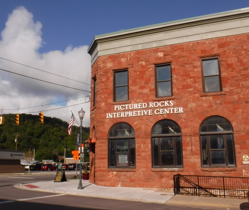
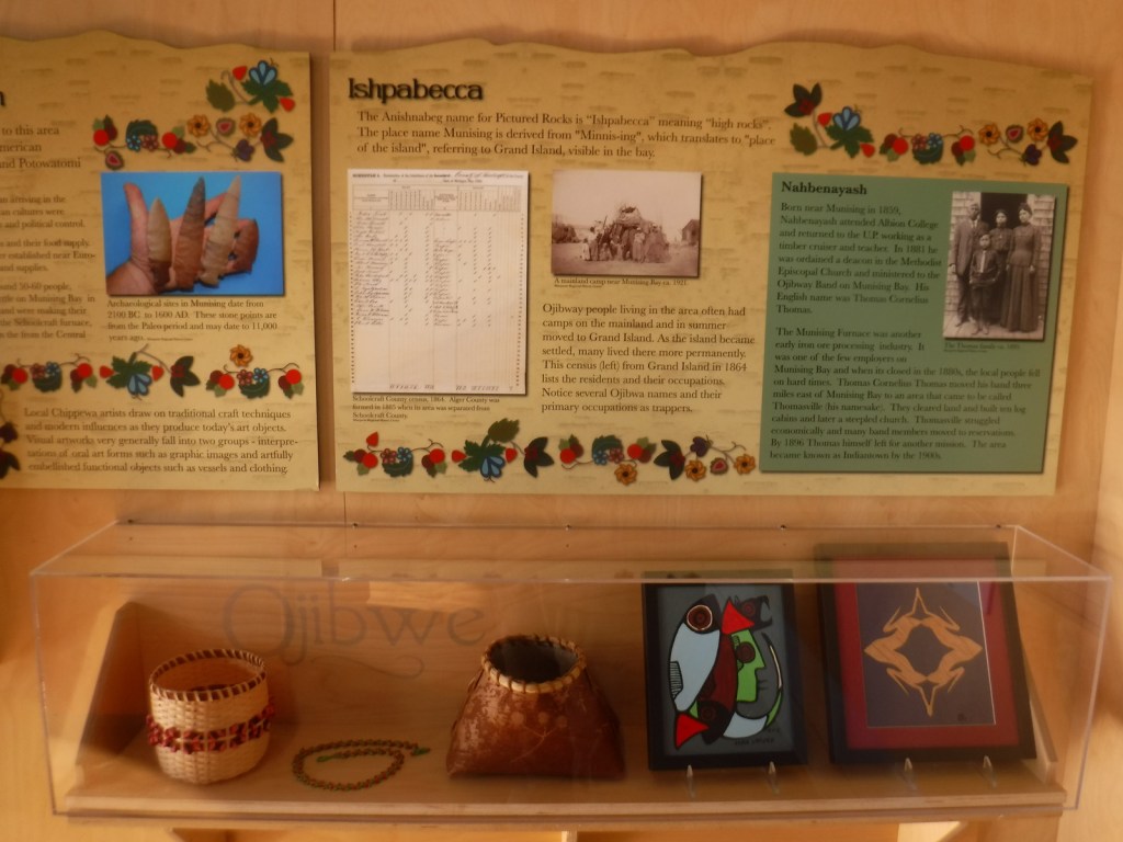
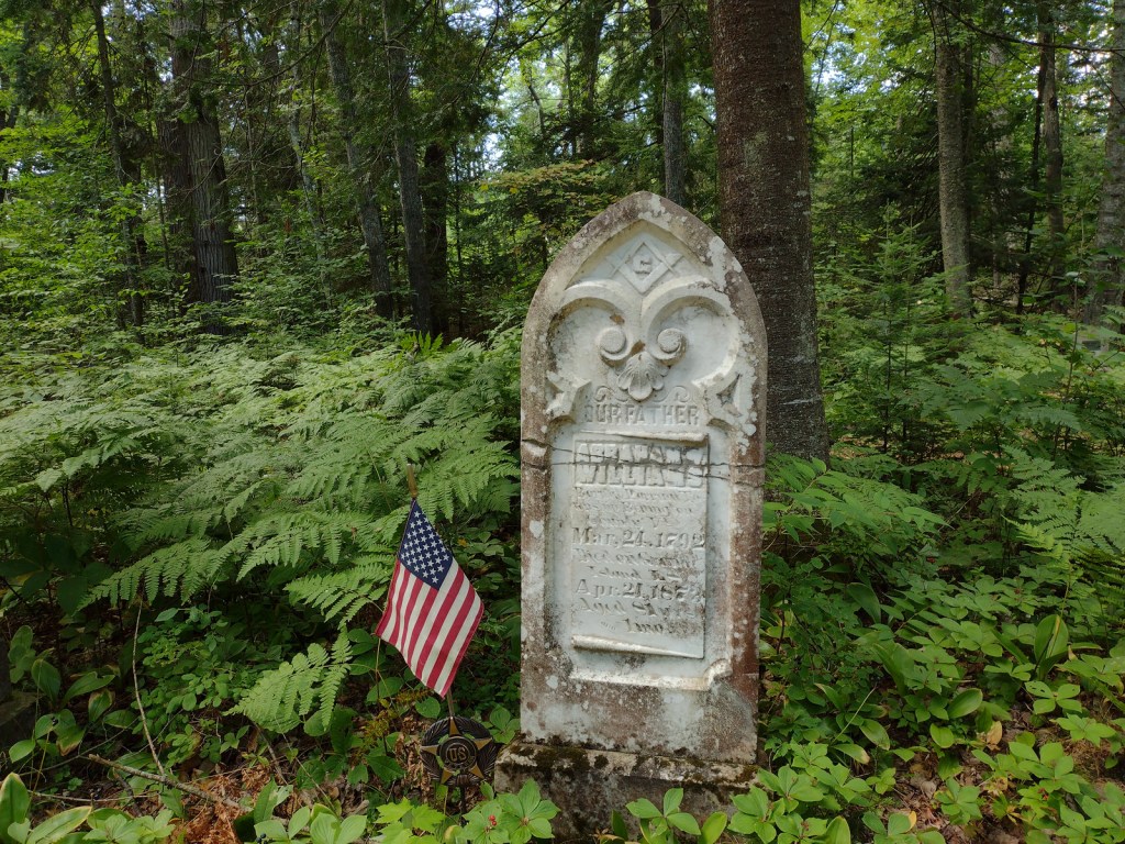
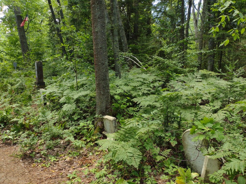
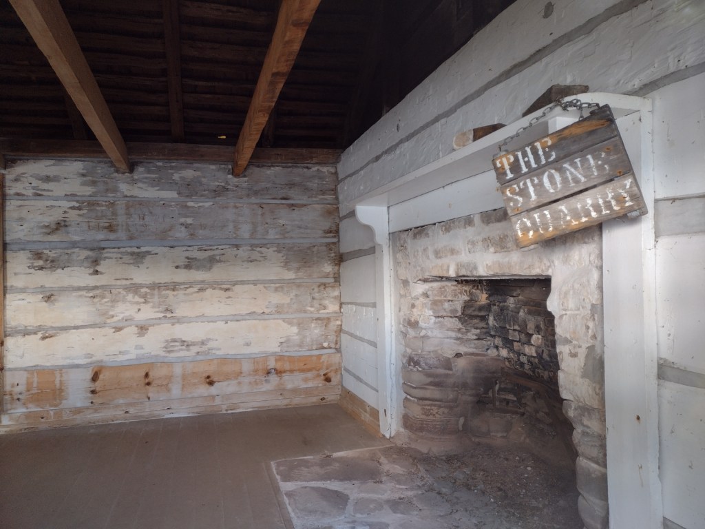
After a night spent at the free Hovey Lake Campground in Hiawatha National Forest, we kayaked to Grand Island from the ferry dock west of Munising to see East Channel Lighthouse and the 1870 wreck of the Bermuda from the water.  We then landed our boat on the sandy beach at Murray Bay Group Site to walk to Williams-Powell Cemetery and Stone Quarry Cabin.  You can pick up a guided boat tour from the docks in Munising that makes a long explanatory stop over the Bermuda or take the ferry to the island with your mountain bike for exploring.  Make sure to visit the free Pictured Rocks Interpretive Center in downtown Munising for informational displays provided by the U.S. Forest Service.

Best Trail

There is a 20-mile-long bike trail that circles Grand Island, with some inland trails (like the one to Echo Lake) and a few open only to hikers. The non-motorized trails are closed to eBikes.

Instagram-worthy Photo

East Channel Lighthouse is situated on private land near Wick Point, so no landing is allowed onshore there.

Peak Season

Summer

Fees

A day use fee of $5 per person, per trip applies if you land on the island. Ferry rides cost $23 per person and camping fees also apply ($8 to $10 per night).

Road Conditions

Bike trails around the southern part of Grand Island are roads also used by tour vans, so watch out for traffic.

Camping

There are many campsites on the island, including a few protected in Murray Bay about two miles from the Williams Landing ferry dock.  Reservations are required for camping except at Flat Rock, Cobble Cove, and Muskrat Point, which offer first-come, first-served campsites all in the southeast corner of Grand Island.

Related Sites

Hiawatha National Forest (Michigan)

Pictured Rocks National Lakeshore (Michigan)

Keweenaw National Historical Park (Michigan)

Nearest National Park

Isle Royale

Explore More – Given the common names of northern white-cedar or eastern arborvitae, why is Thuja occidentalis known as the “tree-of-life”?

Green Mountain National Forest

Green Mountain National Forest

Vermont

Managed by U.S. Forest Service, Eastern Region

821,040 acres (399,151 federal/ 421,889 other)

Website: https://www.fs.usda.gov/gmfl

Overview

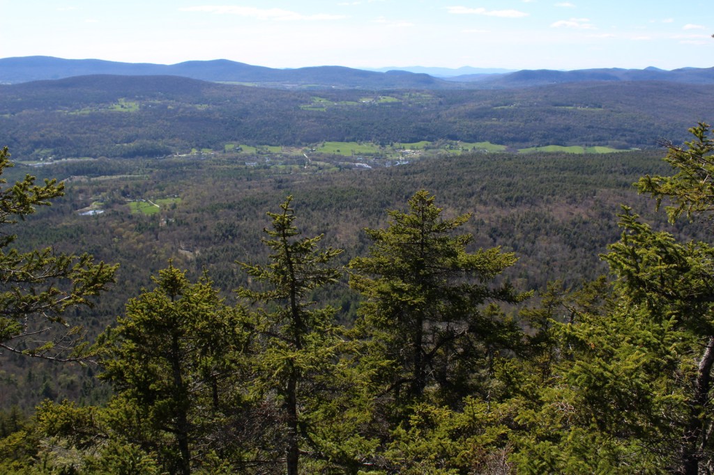
The only National Forest in Vermont is divided into a north and south section, each with its own National Recreation Area.  In the north, Moosalamoo National Recreation Area has the Voter Brook Overlook and trails to the Falls of Lana and Silver Lake, which has a popular backpacking campground.  In the south, Robert T. Stafford White Rocks National Recreation Area includes a portion of the historic Long Trail where the Appalachian National Scenic Trail overlaps it.  Vermont literally translates as Green Mountain from French, the name of the range that forms the state’s granite backbone.  Winter recreation is a big deal here, with three alpine ski areas in the National Forest and seven designated cross-country ski areas, as well as 900 miles of trails for snowshoeing and some areas open specifically for snowmobiling.  Green Mountain National Forest also co-manages Finger Lakes National Forest in central New York.

Highlights

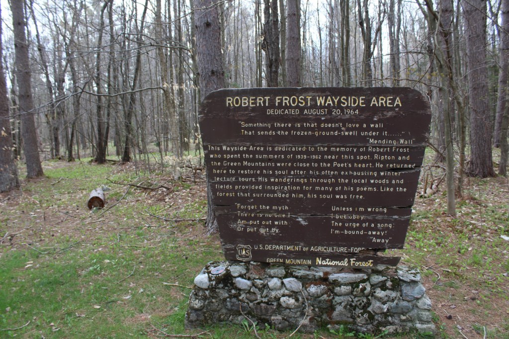
Moosalamoo National Recreation Area, White Rocks National Recreation Area, Hapgood Pond Recreation Area, Texas Falls, Robert Frost Wayside, Voter Brook Overlook, Falls of Lana, Devil’s Den Cave, Lye Brook Falls, Moss Glen Falls, Mt. Ellen, Robert Frost Interpretive Trail, Long Trail, Appalachian National Scenic Trail

Must-Do Activity

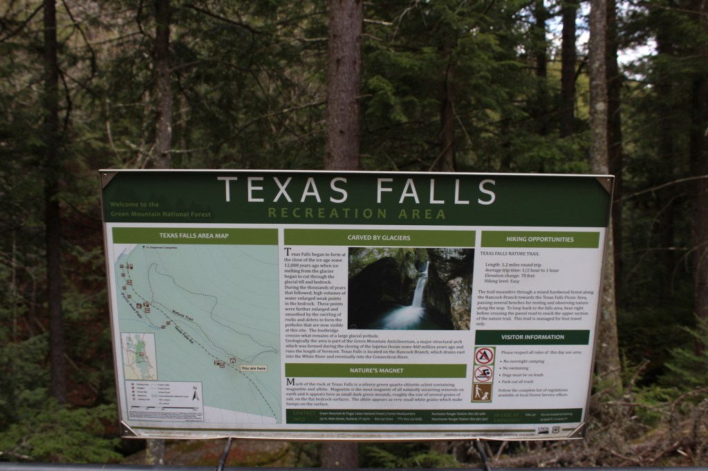
Texas Falls is not located in the right place on the Forest Service visitor app, but it is easy to get to right alongside paved Texas Falls Road off State Route 125.  The falls formed at the end of the Ice Age around 12,000 years ago, when meltwater scoured the quartz-chlorite schist.  A footbridge crosses the Hancock Branch over an interesting glacial pothole in the rock, and a nature trail continues uphill forming a 1.2-mile loop.  We did not make it to Lye Brook Falls or Moss Glen Falls, but found the off-trail Falls of Lana worth the effort (see Moosalamoo National Recreation Area).

Best Trail

Green Mountain National Forest contains about half of the 272-mile Long Trail, which in 1931 became the first named long-distance hiking trail in the U.S.  In Robert T. Stafford White Rocks National Recreation Area, the Long Trail is coincident with the Appalachian National Scenic Trail (AT) with several overnight shelters (some of which charge $5 per person, per night).

Watchable Wildlife

The National Forest contains 450 miles of streams, which is great for trout and salmon fishermen, especially since some wildlife management projects have been done to improve their habitat.  Other work has been completed to support ruffed grouse, wild turkey, black bear, and Bicknell’s thrush.  We were told by a local that there is a black bear named Jenny that hangs out around the White Rocks Day Use Area.  Additional species of interest include moose, white-tailed deer, coyote, porcupine, and beaver.

Instagram-worthy Photo

Less than a mile up the Ice Beds Trail, a short climb reaches a viewpoint of the white rocks, a glacier-scoured cliff of Cheshire quartzite that is (part of) the namesake for Robert T. Stafford White Rocks National Recreation Area.

Peak Season

Fall

Fees

Ski areas at Mount Snow, Stratton Mountain, and Bromley Mountain have recreation fees.  Along the Long Trail/AT, there is a camping fee of $5 per person, per night at Little Rock Pond, Peru Peak, Stratton Pond, and Griffith Lake.

Road Conditions

All the gravel roads we drove were in good shape during the spring, including the roads to Voter Brook Overlook and White Rocks Day Use Area.

Camping

One of the most developed parts of the National Forest is at 7-acre Hapgood Pond where there is a campground, swimming beach, and boat ramp.  Moosalamoo Campground has 18 campsites located at the base of the Mt. Moosalamoo Trail, near Voter Brook Overlook.  There are a couple dispersed campsites also on the road, but we had one of our worst nights camping here with college kids blasting music late and another group waking us up before sunrise.  The backpacking campground at Silver Lake is nice, or you can stay at Branbury State Park on Lake Dunmore.

Wilderness Areas

Big Branch Wilderness

Breadloaf Wilderness

Bristol Cliffs Wilderness

George D. Aiken Wilderness

Glastenbury Wilderness

Joseph Battell Wilderness

Lye Brook Wilderness

Peru Peak Wilderness

Related Sites

Marsh-Billings-Rockefeller National Historical Park (Vermont)

Saint-Gaudens National Historical Park (New Hampshire)

White Mountain National Forest (New Hampshire-Maine)

Nearest National Park

Acadia

Conifer Tree Species

eastern hemlock, eastern white pine, red pine, red spruce, balsam fir

Flowering Tree Species

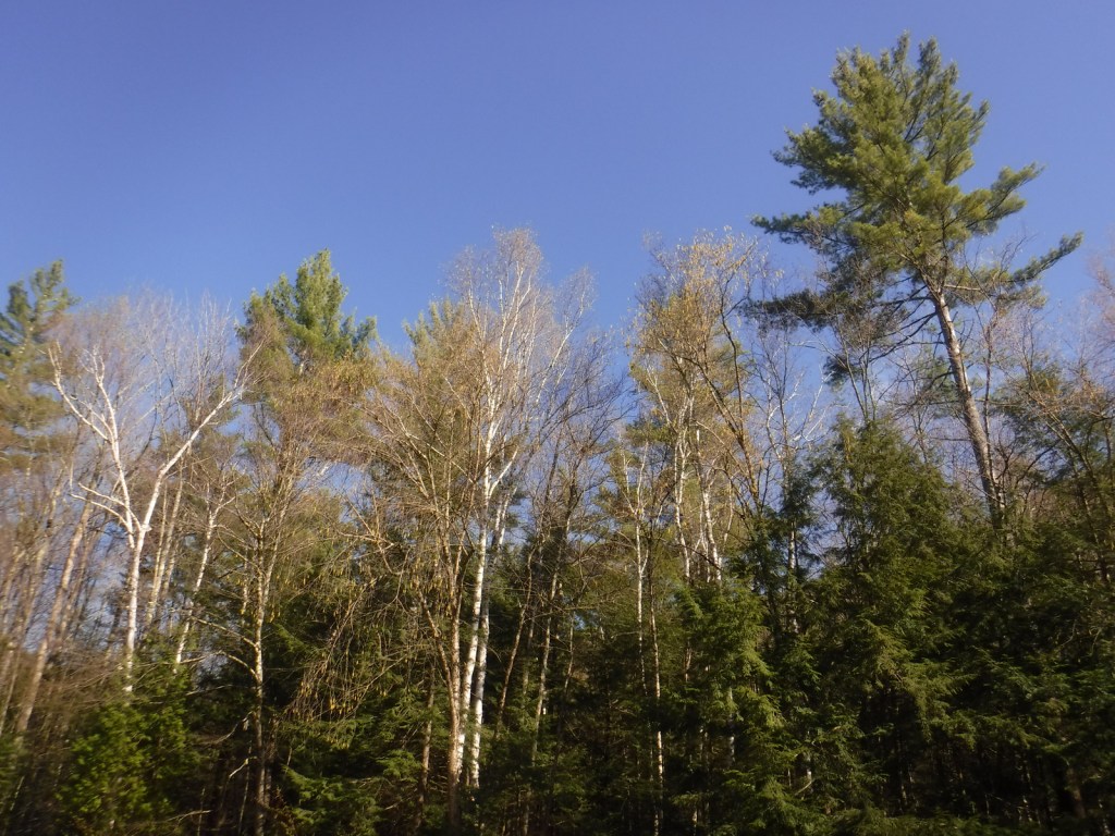
sugar maple, American beech, yellow birch, white birch, paper birch, mountain ash

Explore More – Texas Falls is located on the Hancock Branch, which feeds the White River that converges with what major river?

Learn more about this and the 154 other National Forests in our new guidebook Out in the Woods

We are a participant in the Amazon Services LLC Associates Program, an affiliate advertising program designed to provide a means for us to earn fees by linking to Amazon.com and affiliated sites.