Allegheny National Recreation Area
Pennsylvania
Managed by U.S. Forest Service, Allegheny National Forest
24,145 acres
Website: https://www.fs.usda.gov/attmain/allegheny/specialplaces/
Overview
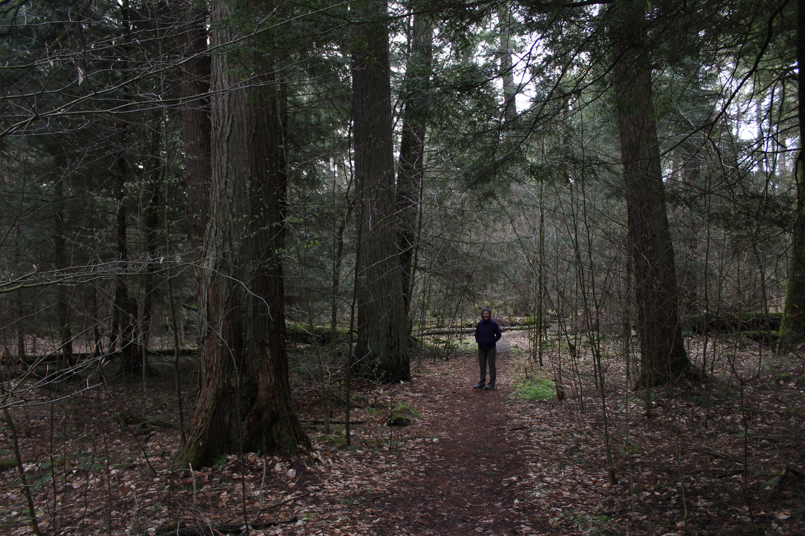
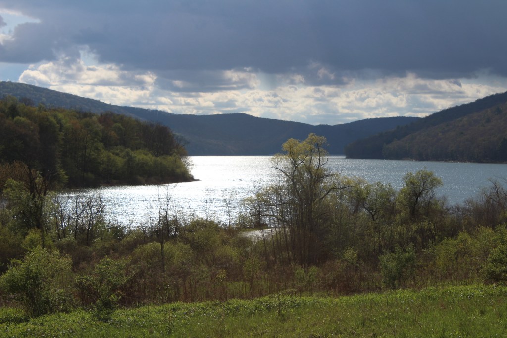
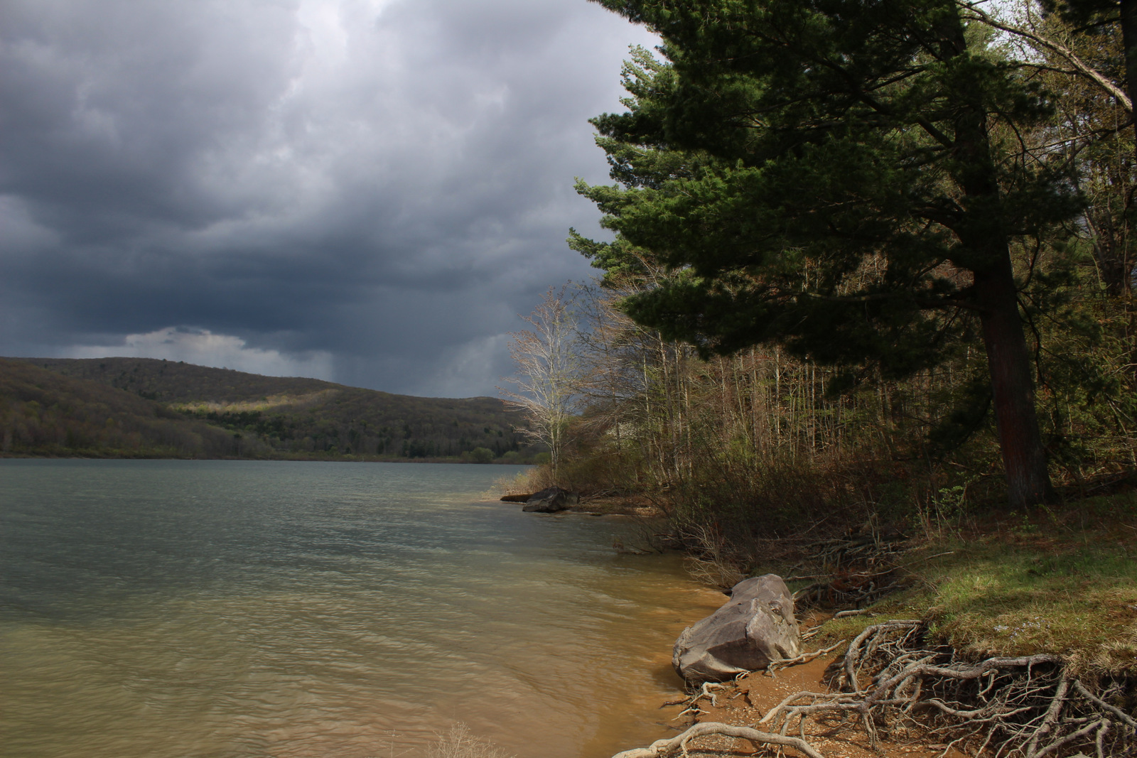
Allegheny National Recreation Area was created by Congress in 1984 under the Pennsylvania Wilderness Act. It is managed as three separate parcels of land within Allegheny National Forest. The first is named Cornplanter after an Iroquois warrior and leader during the American Revolution and it has two boat launches and no developed trails on the federal lands west of the Allegheny Reservoir. The second is Tracy Ridge to the east of the reservoir, which we will discuss below. Farther south, the third parcel is the Allegheny Front on the east side of the Allegheny River from Charlie Run to South Slater Run, bordered on the west by Highway 62.
Highlights
Willow Bay Recreation Area, Tracy Ridge Hiking Trail System, North Country National Scenic Trail
Must-Do Activity
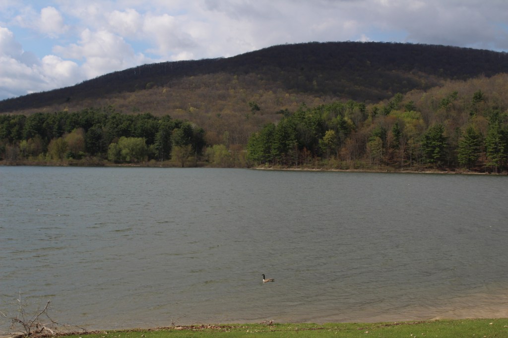
Tracy Ridge is easily accessible from scenic State Highway 321 and it has an extensive system of hiking trails, including a 10-mile section of the North Country National Scenic Trail. Further north, Willow Bay Recreation Area (day-use fee) is the most developed portion of Allegheny National Recreation Area. The waters of the Allegheny Reservoir between Cornplanter and Tracy Ridge are also considered to be part of the National Recreation Area with three developed boat-in campgrounds (fee).
Best Trail
In addition to the Tracy Ridge Hiking Trail System, the undeveloped Allegheny Front parcel contains a three-mile segment of the Tanbark Trail. These areas are popular with hunters, so remember to wear fluorescent clothing during hunting seasons.
Instagram-worthy Photo
While having lunch near the dock in Willow Bay Recreation Area, we saw a bald eagle, a red-tailed hawk, ravens, and a flock of Canada geese.
Peak Season
Summer
Fees
There is an entrance fee at Willow Bay Recreation Area, but it is half price with an America the Beautiful pass. Even if you hike in to Hopewell and Handsome Lake Campgrounds on the shores of the Allegheny Reservoir, you need to pay the overnight camping fee. Based on the signs, we think that backpacking in Tracy Ridge is free.
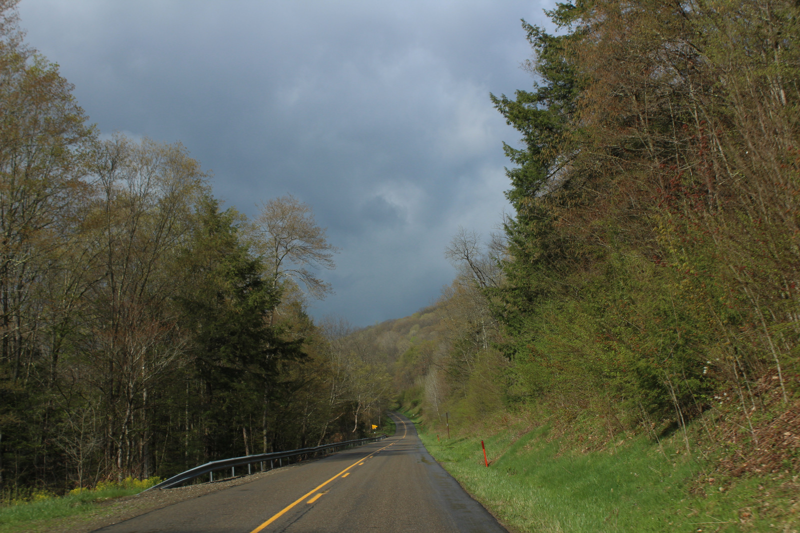
Road Conditions
We did not come across any unpaved roads while driving through Allegheny National Recreation Area, but they probably exist.
Camping
Willow Bay Recreation Area and Tracy Ridge have drive-in campgrounds, plus Hooks Brook, Hopewell, and Handsome Lake are accessible by boat. Dispersed camping is allowed for no more than 14 consecutive days at one site and not within 1500 feet of the Allegheny Reservoir. The same goes for backpacking sites on the Tracy Ridge Hiking Trail System where hanging bear bags or using bear-proof containers is recommended.
Related Sites
Allegheny National Forest (Pennsylvania)
Allegheny Portage Railroad National Historic Site (Pennsylvania)
Flight 93 National Memorial (Pennsylvania)
Nearest National Park
Cuyahoga Valley (Ohio)


Explore More – When it is completed, how long will the North Country National Scenic Trail be in its entirety?