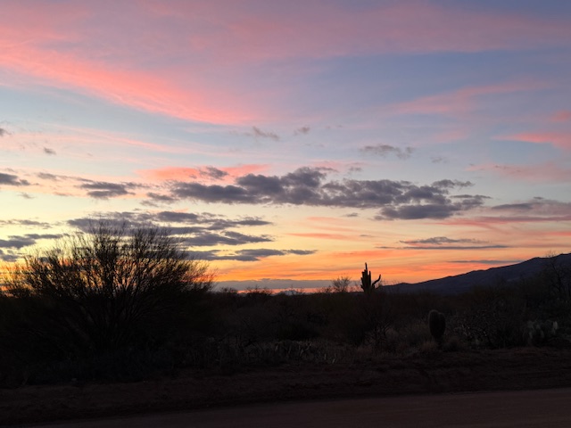
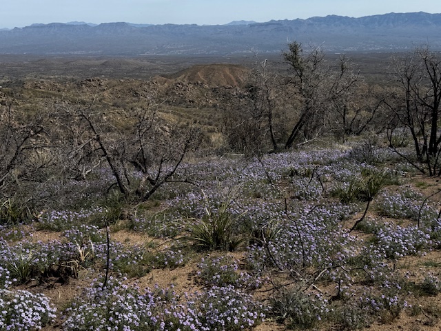
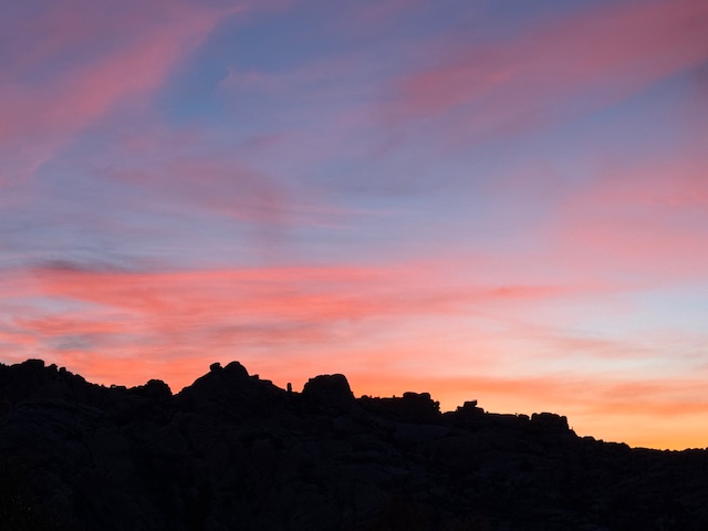
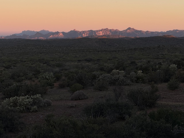
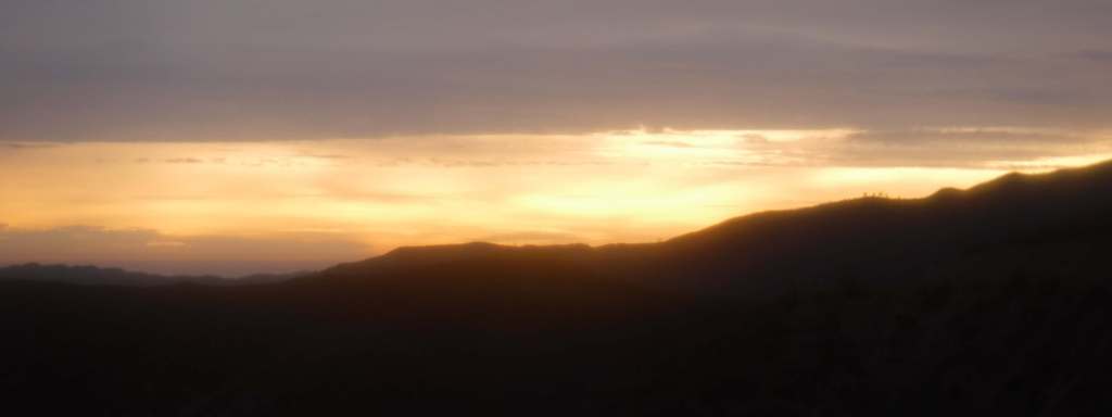
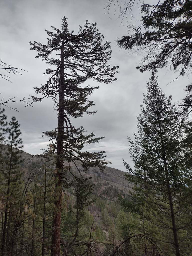
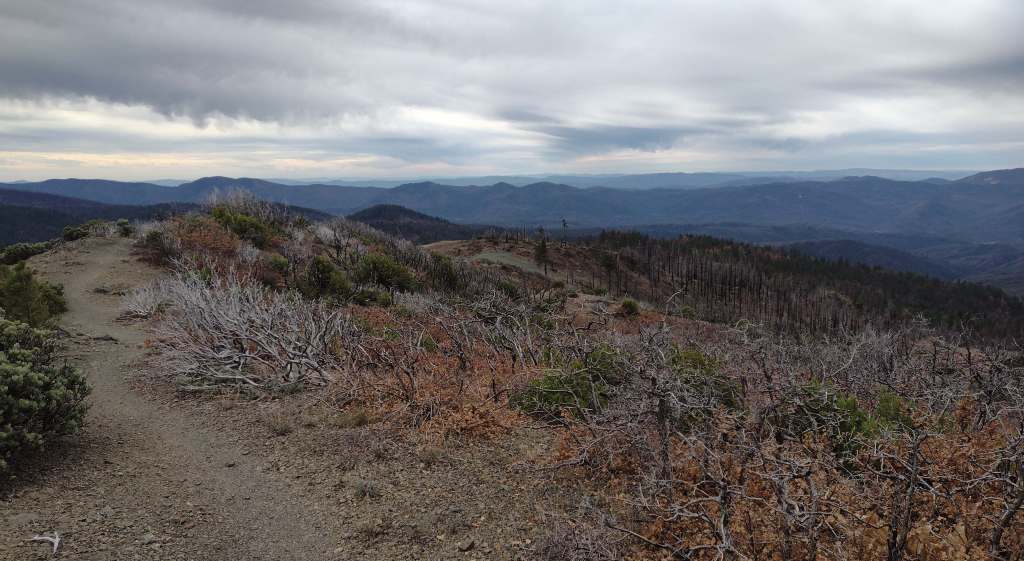
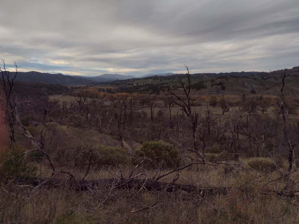
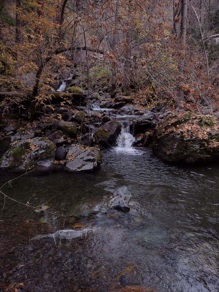
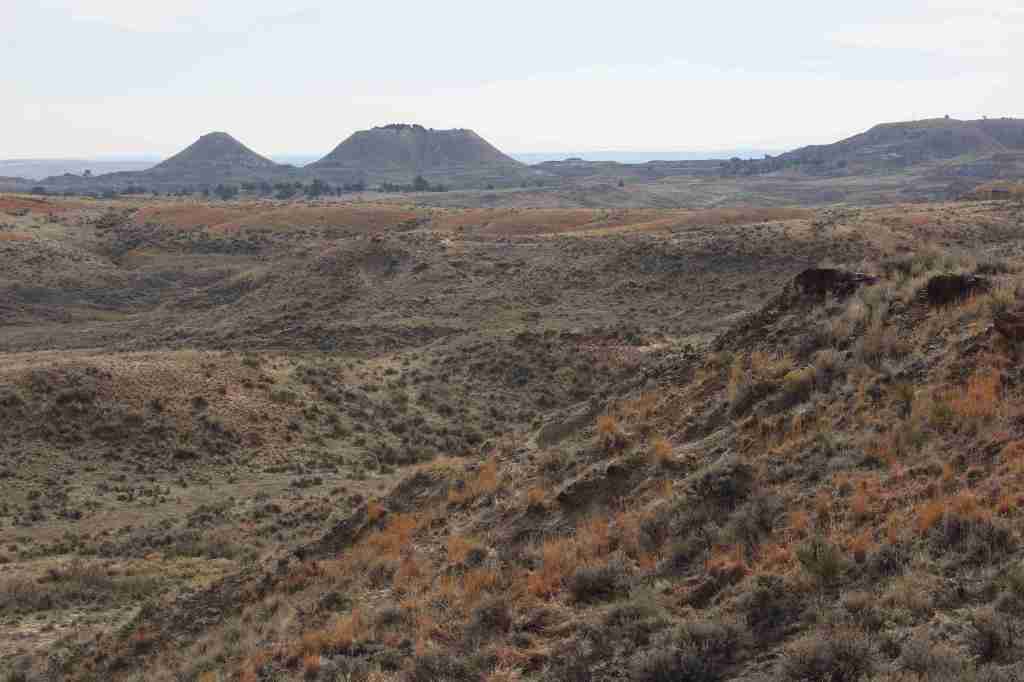
Miles 101 to 265 required big climbs in Saguaro National Park and the Santa Catalina Mountains within Coronado National Forest. Lots of cool Sonoran Desert wildflowers and wildlife along the way, plus some great sunsets on the way to the Gila River. Thursday I am taking a “zero day” off the trail with my family in Chandler and probably going to a Mark Chesnutt concert.
Arizona Trail Day 6, Mile 101 to 101 a “Zero Day” in Tucson with a huge breakfast at Rocking K, one Talenti gelato (for a backup container to cold soak meals), and night in the camper van with my trail angel Mom.
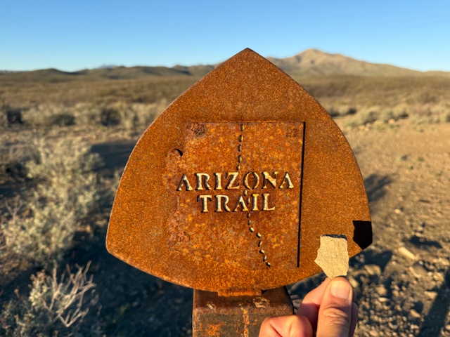
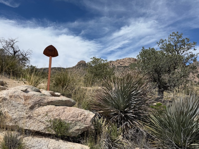
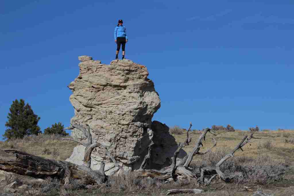
Arizona Trail Day 7, Mile 101 to 126 after my first “zero day” passed under Interstate 10 to the border with Saguaro National Park and saw the first saguaro cacti along the route. I achieved my goal of finding a rock in the shape of Arizona! Enjoyed talking and walking with Ziggy, a Navy veteran. Big thank you to my Mom for meeting up with me in Tucson.
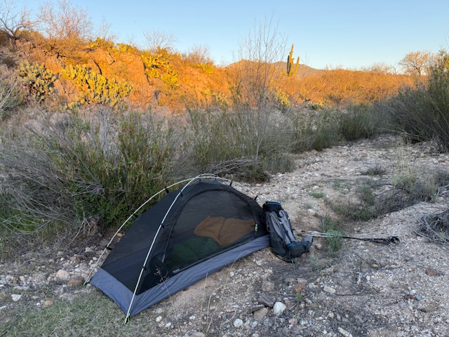
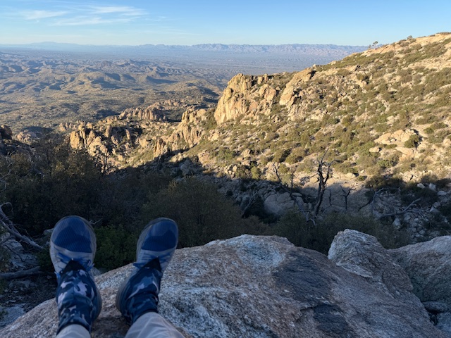
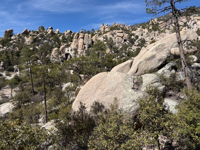
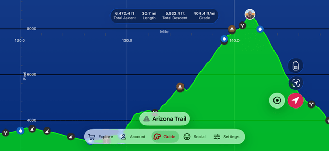
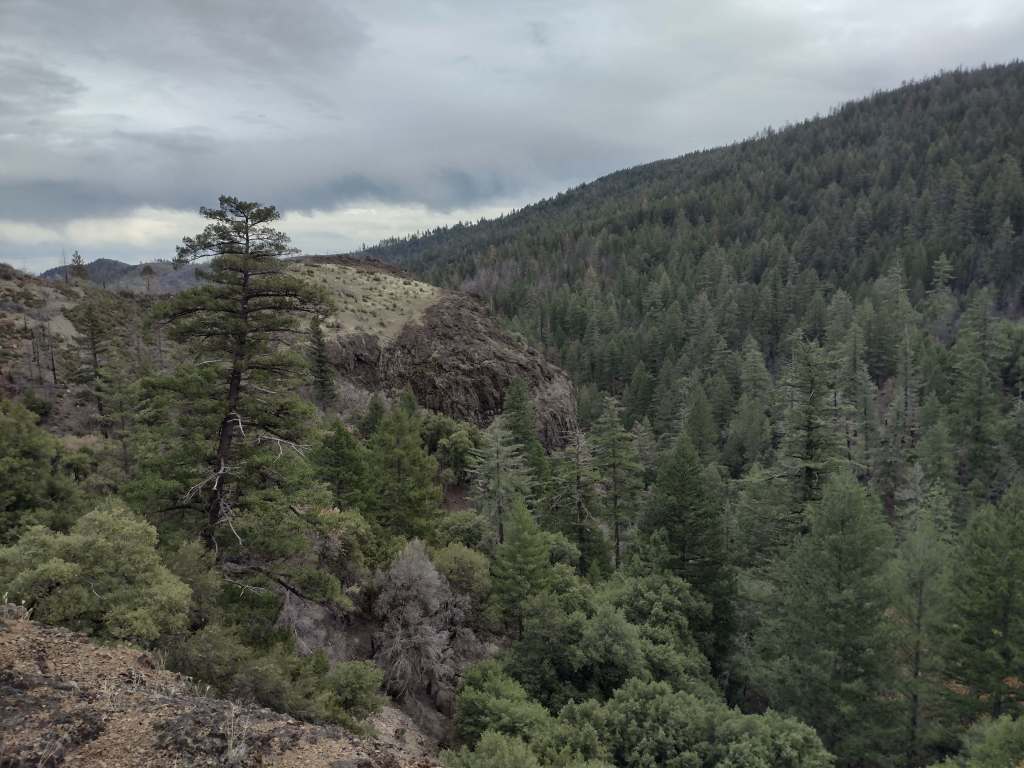
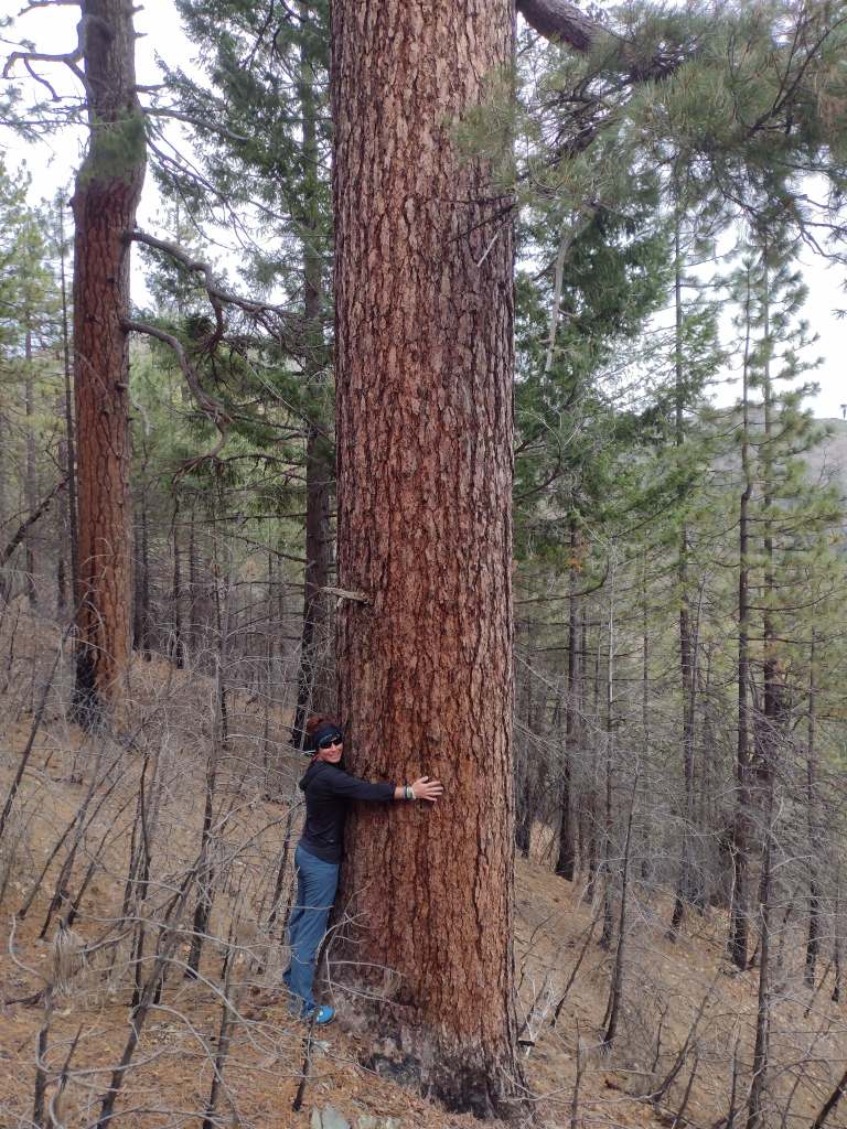
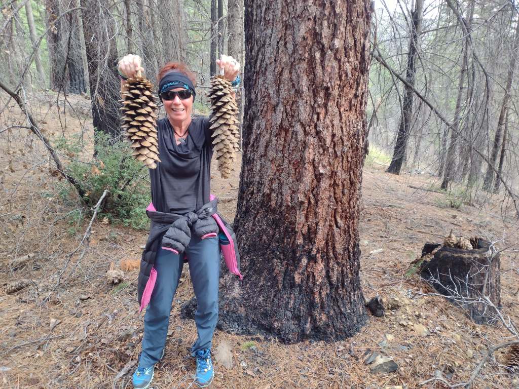
Arizona Trail Day 8, Mile 126 to 144 from spines to pines in Saguaro National Park. Over 6,000 feet cumulative elevation gain in the Rincon Mountains. Camped with and hiked with some fellow NAU Lumberjacks and two young women from Florida.
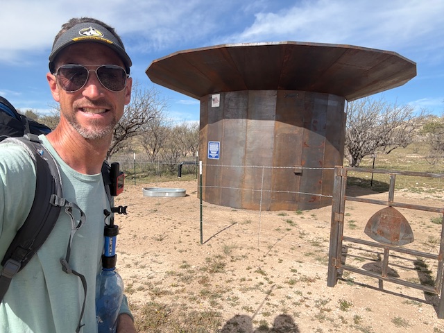
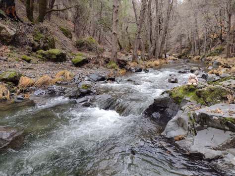
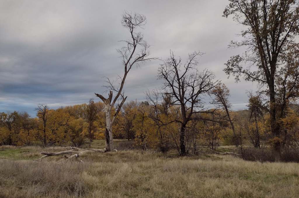
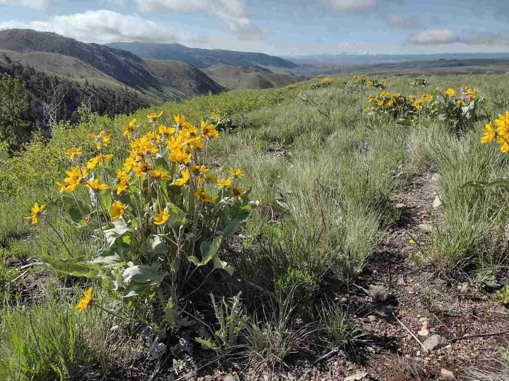
Arizona Trail Day 9, Mile 144 to 164 out of the Rincon Mountains to the Catalina Highway. Lots of wildflowers in bloom! I met Trail Angel Gabriel who I helped to fill up a water cache with 48 gallons. Thanks to all the trail angels out there.
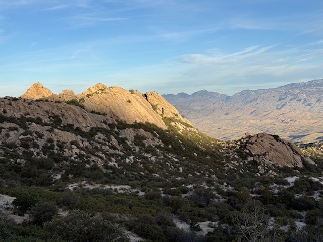
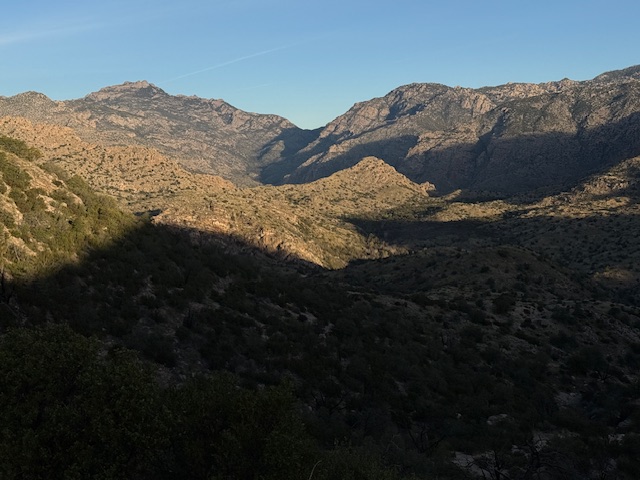
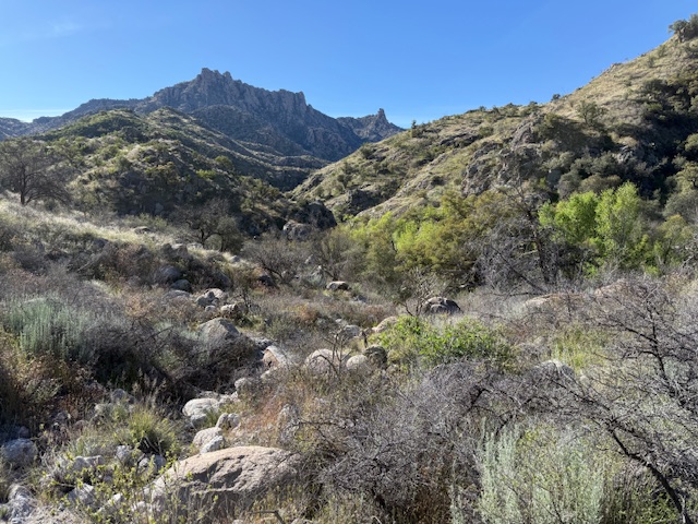
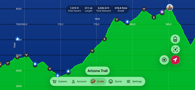
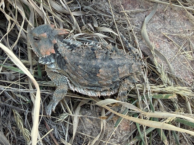
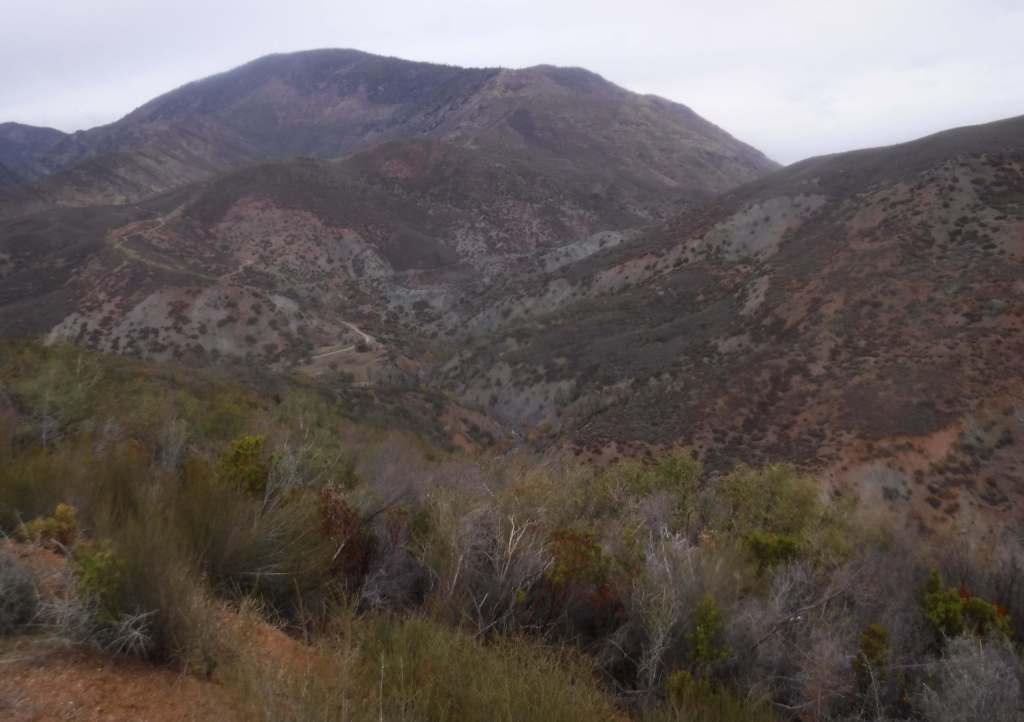
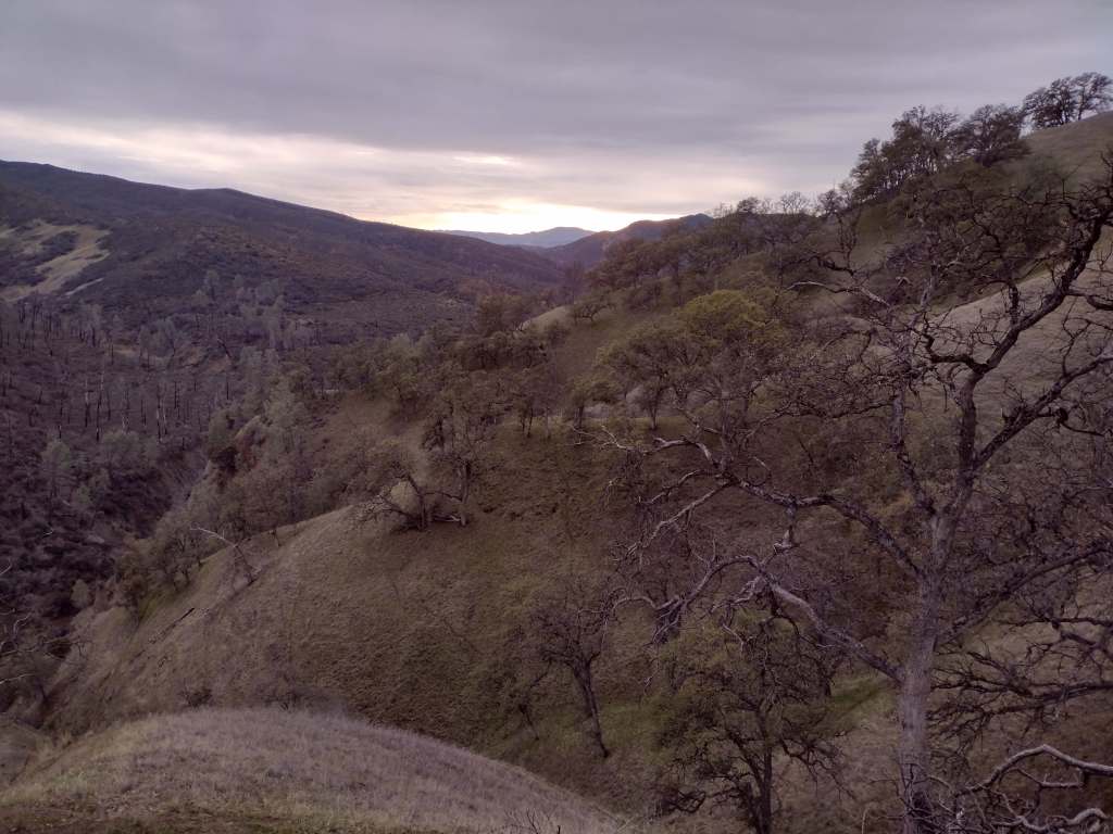
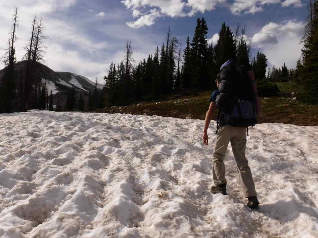
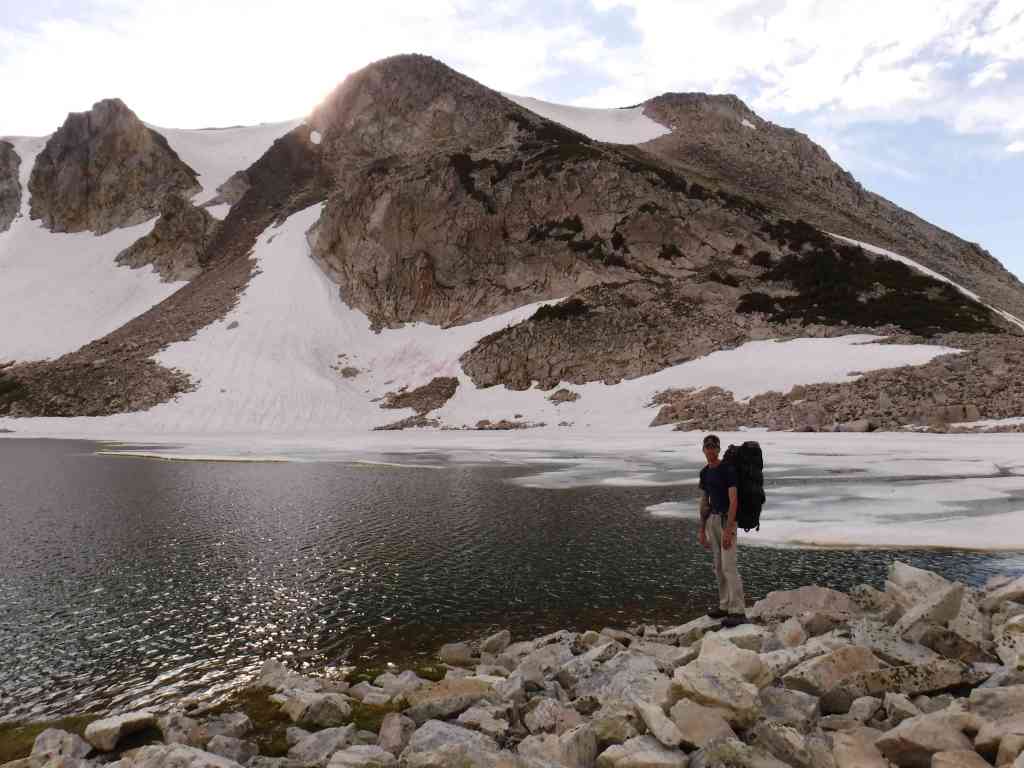
Arizona Trail Day 10, Mile 164 to 187 up Mt. Lemmon in Coronado National Forest. Another great memory made in the Santa Catalina Mountains and my first horned lizard of the trip was seen above 8,000 feet in elevation. Thanks to my Mom for meeting me at the top with my big backpack. I was told by one AZT finisher that this is the “classic Lemmon cheat.” I’ll take any help I can get.
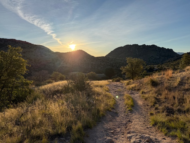
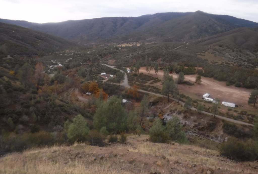
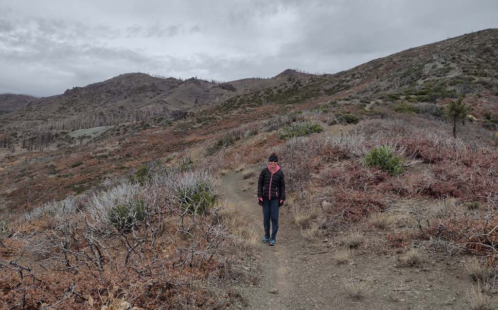
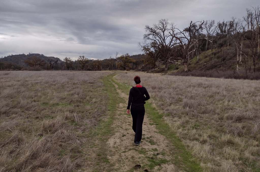
Arizona Trail Day 11, Mile 187 to 215 down the west side of the Santa Catalina Mountains, a cumulative drop of around 8,000 feet. I had two wonderful trail angels meet me in Oracle for lunch. Thanks everyone for your support in this endeavor! Sunrise to sunset was 12:01 so now unofficially past the equinox. Yay!
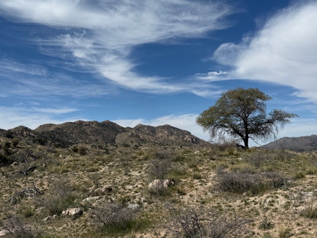
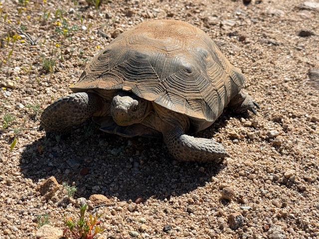
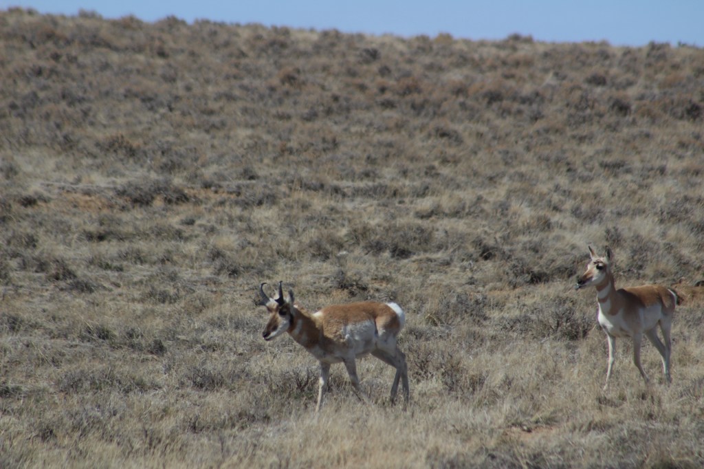
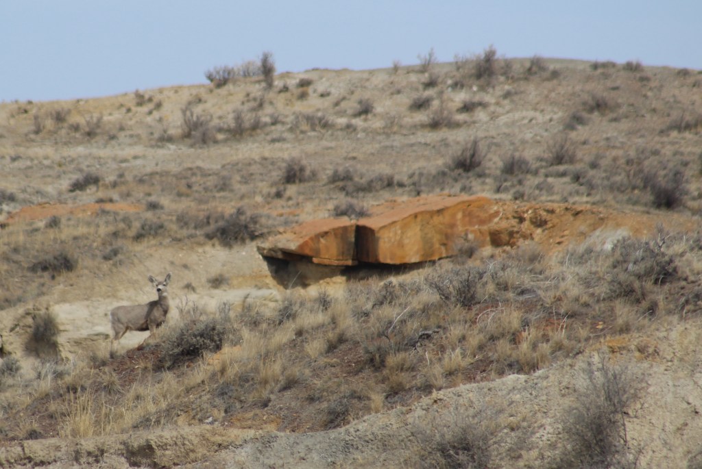
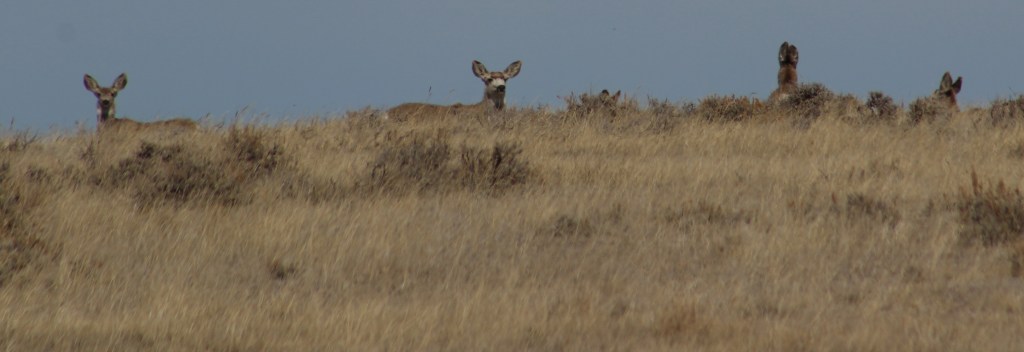
Arizona Trail Day 12, Mile 215 to 245 past Antelope Peak in the Sonoran Desert. I saw my first wild desert tortoise in my life! I hiked a while with Martin and Mama Goose who were great to talk to. I avoided the heat of the day and went to the movie Hoppers in Oro Valley with my Mom, then did 8.5 miles after sunset.
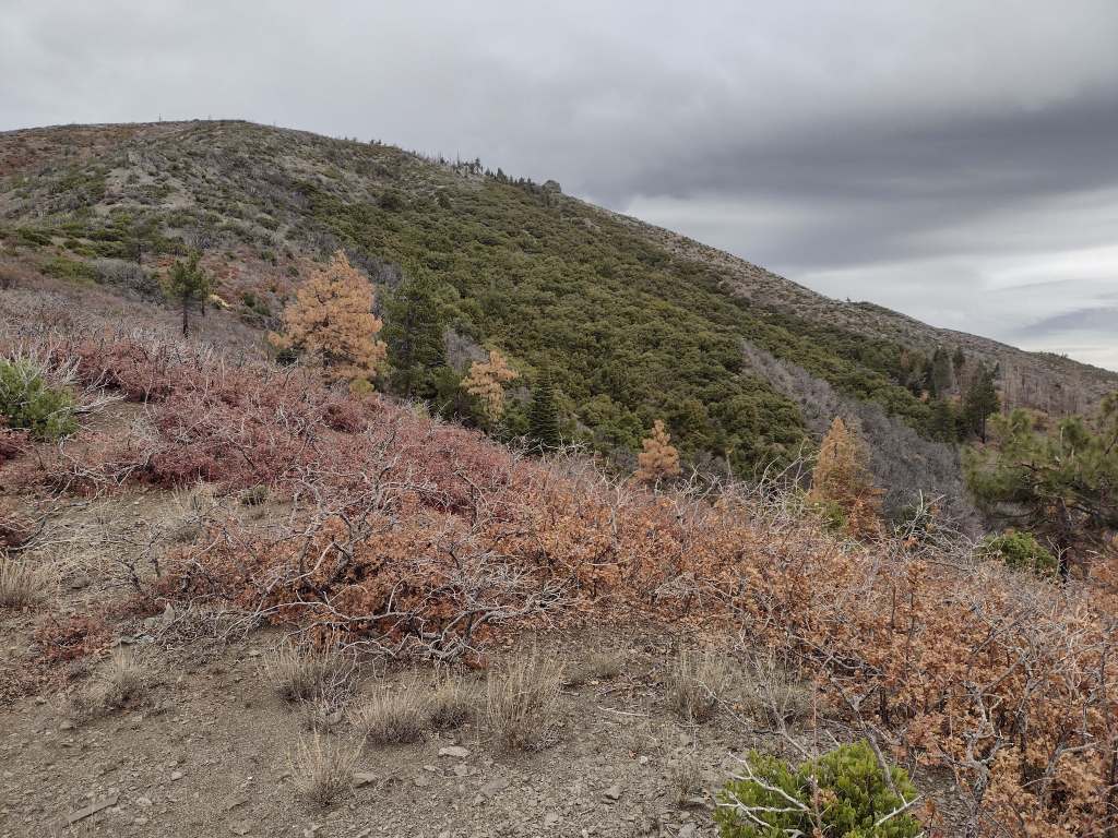
Arizona Trail Day 13, Mile 245 to 265 down to the Kelvin Bridge across the Gila River. Starting in the dark, I was able to finish before noon for a pickup from my parents. With temperatures 28 degrees above average for the next few days, I’ve decided to head home to Pine to cover some higher elevation miles on the AZT then come back when it cools down.
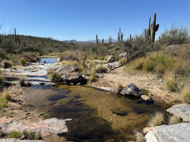
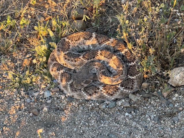
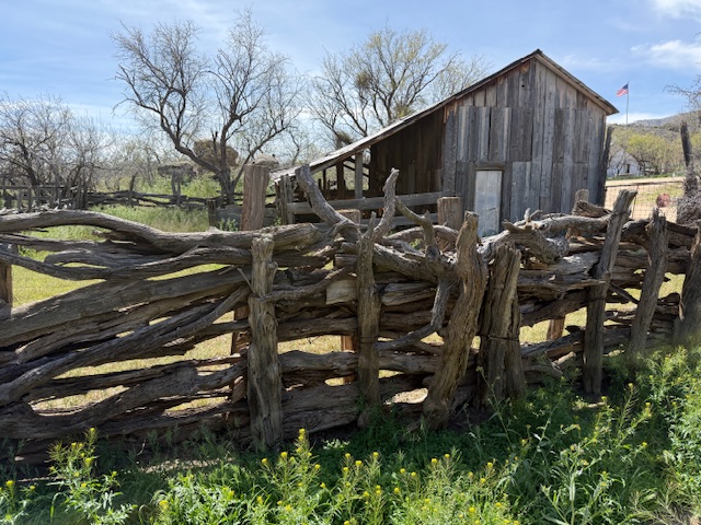
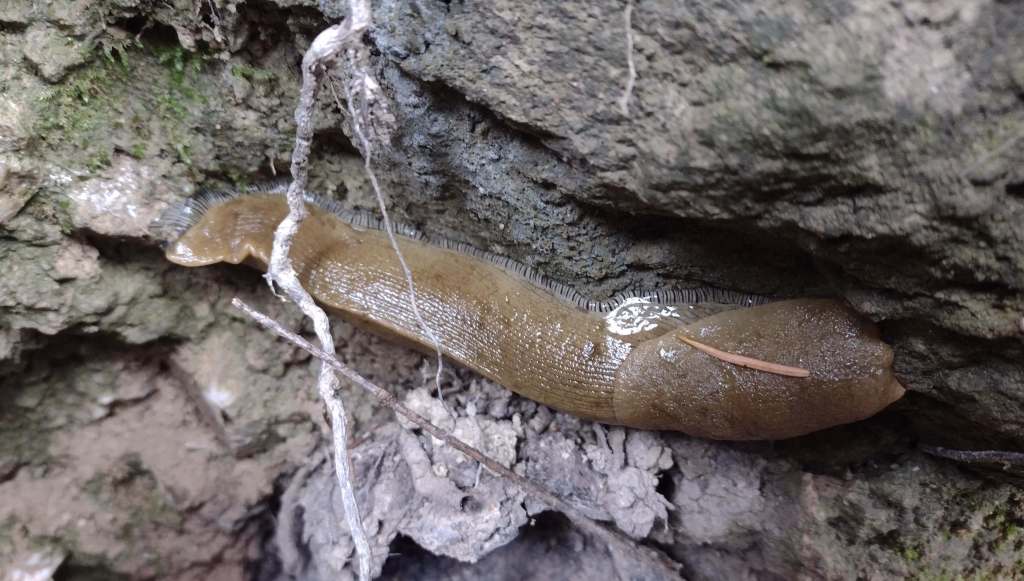
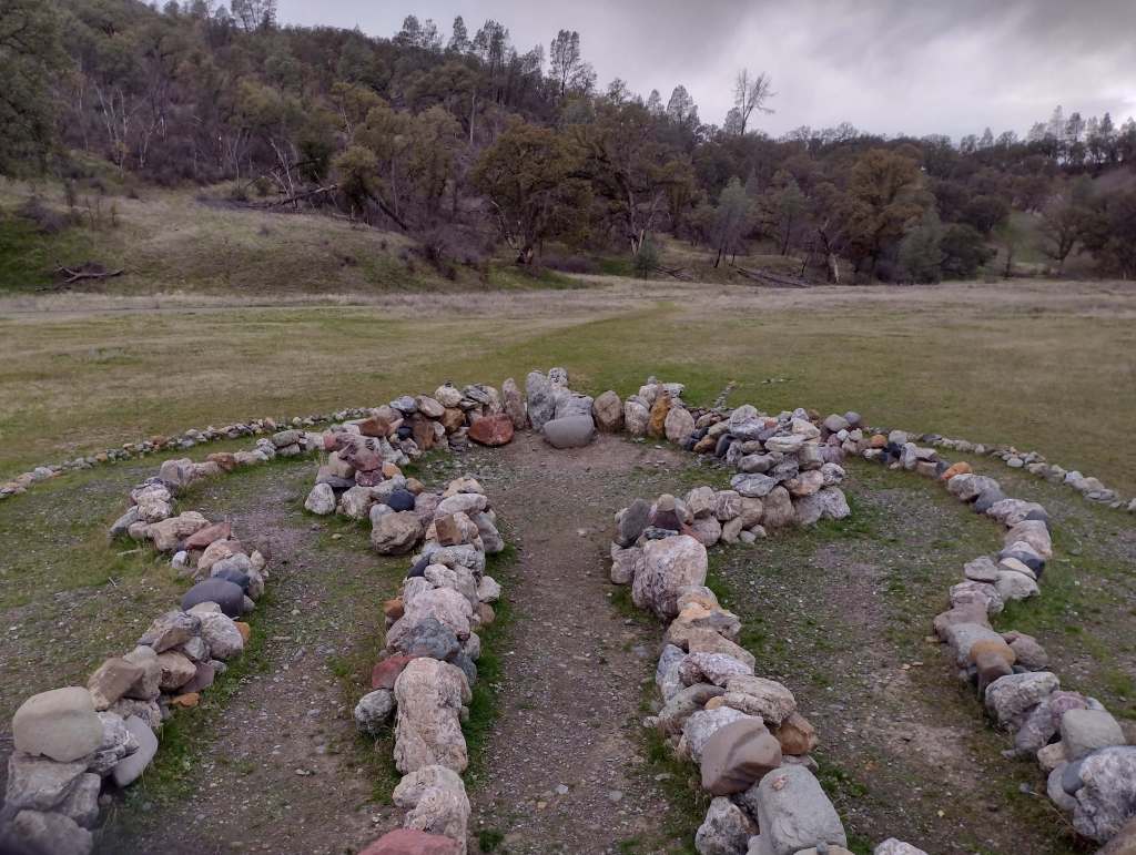
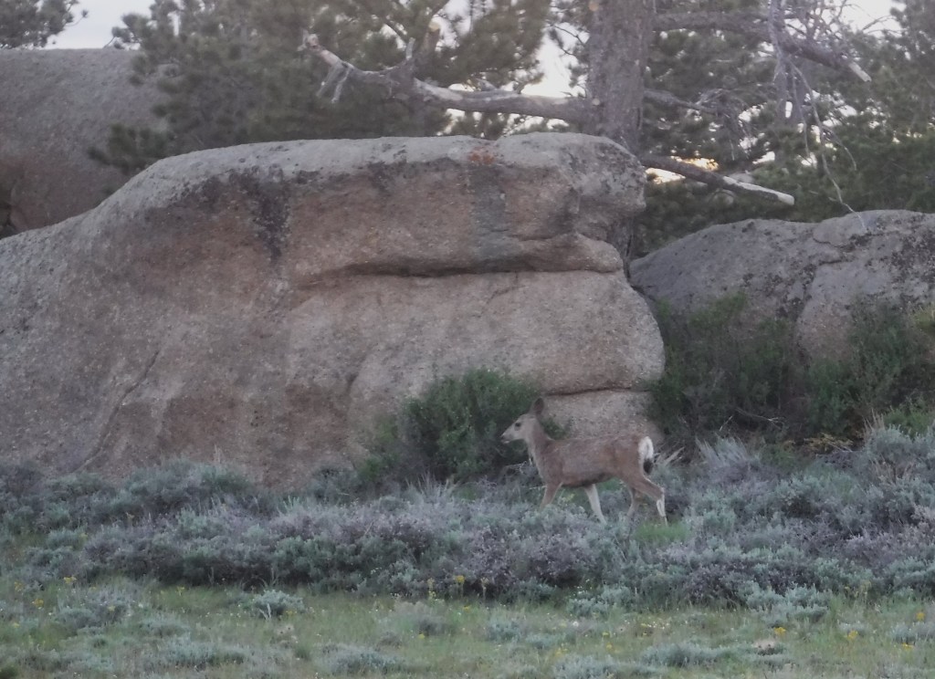
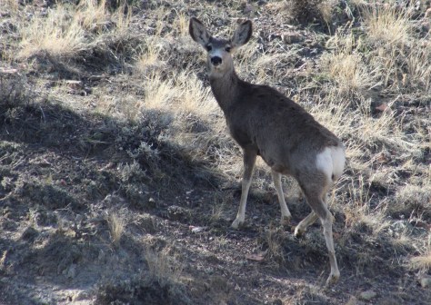
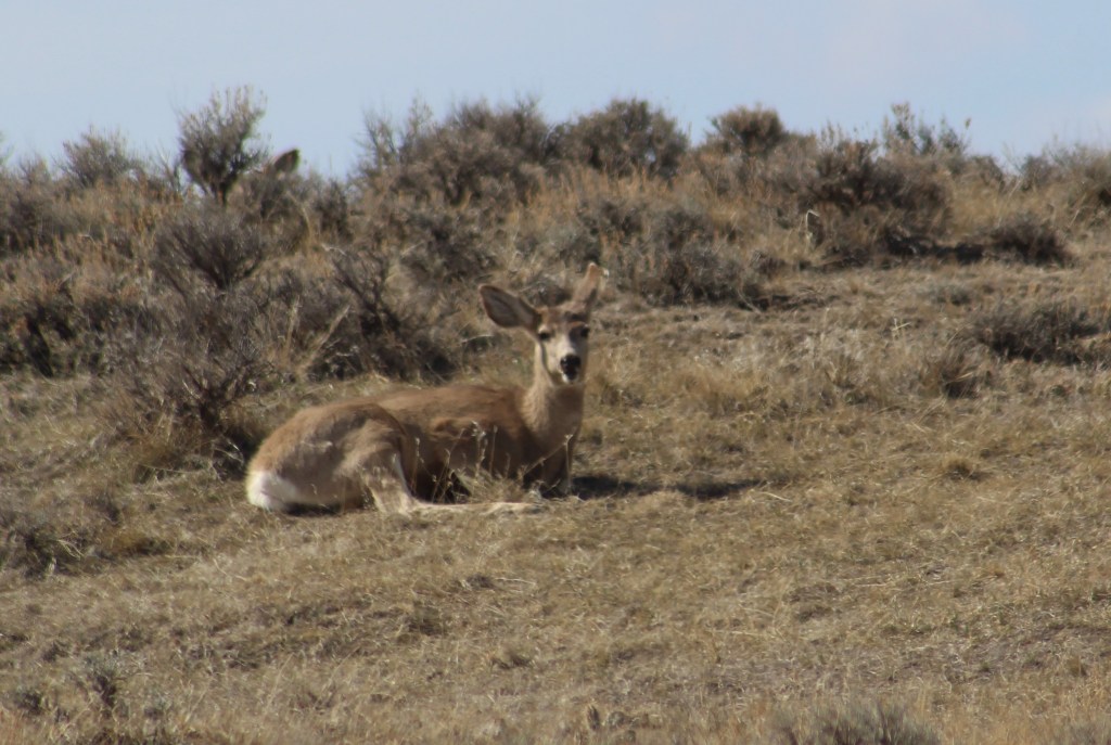
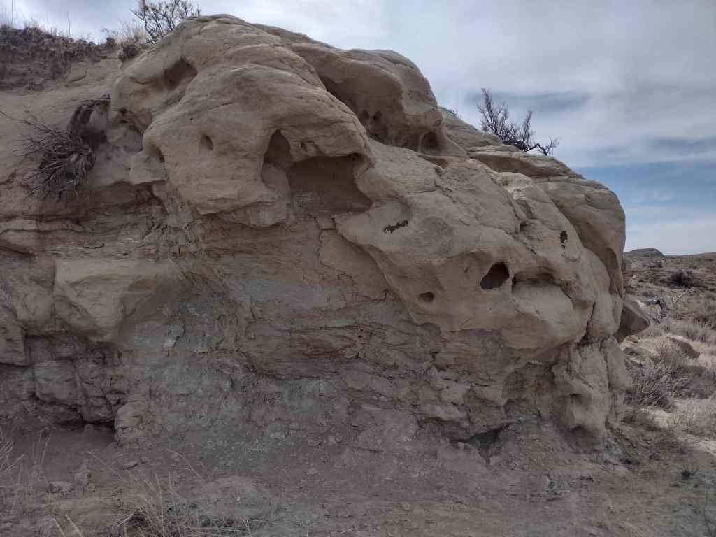
Found a rock almost in the shape of the stateSaguaro National ParkDiamondback rattlesnakeAmerican Flag RanchRainwater collector with spigot for hikersRincon MountainsSanta Catalina MountainsHorned lizardDesert tortoise
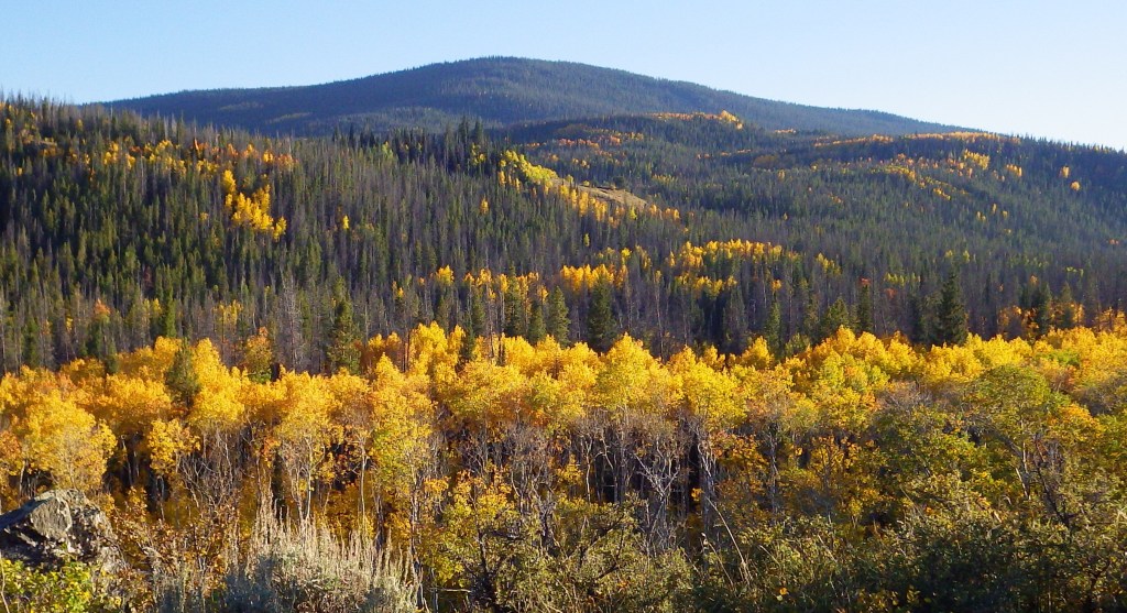
Originally called California National Forest in 1908, this area between Interstate 5 and Highway 101 was renamed Mendocino National Forest 24 years later. It stretches north-south along the Coast Range covering parts of six counties north of San Francisco. Similar to Los Padres National Forest, it contains rocky serpentine ridgelines where only specially adapted plants can tolerate the heavy metals in the soil, like Sargent cypress and the shorter McNab cypress. Both species can be found along Frenzel Creek near Little Stoney Campground. In 1953, a Forest Service employee and 14 volunteer firefighters died in the Rattlesnake Fire and a memorial overlooking Rattlesnake Canyon is located off Forest Highway 7 on Alder Springs Road. Mendocino National Forest includes the northern portion of Berryessa Snow Mountain National Monument (see our full blog post), established in 2015 and administered in cooperation with the Bureau of Land Management.
Know someone who loves the National Forests? Gift them our travel guidebook Out in the Woods so they can learn more about all 155 National Forests.
There are 18 National Forests in California (the most of any state), but Mendocino is the only one not crossed by a paved highway. It is a wonderful destination for outdoor recreation, both motorized and non-motorized, including Hull Mountain which is popular with hang gliders. Lake Pillsbury is 2,280 acres and offers boat ramps, campgrounds, and a resort, while 35-acre Letts Lake has a campground and access to hiking trails.
Best Trail
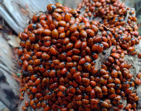
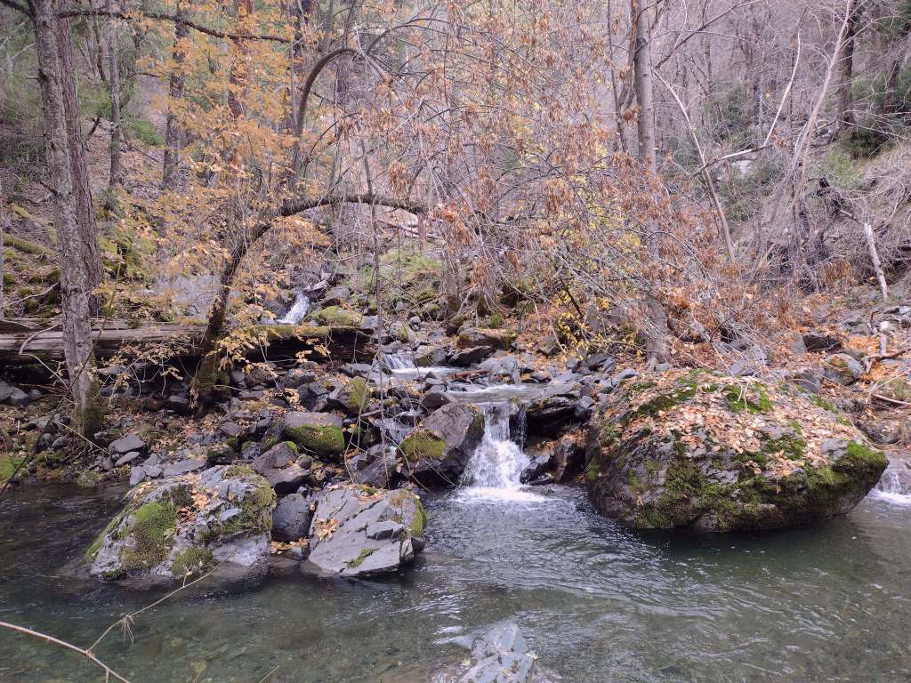
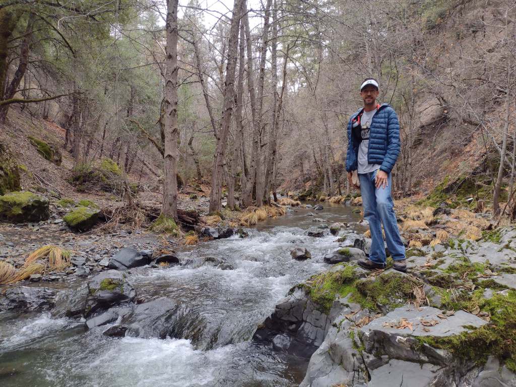
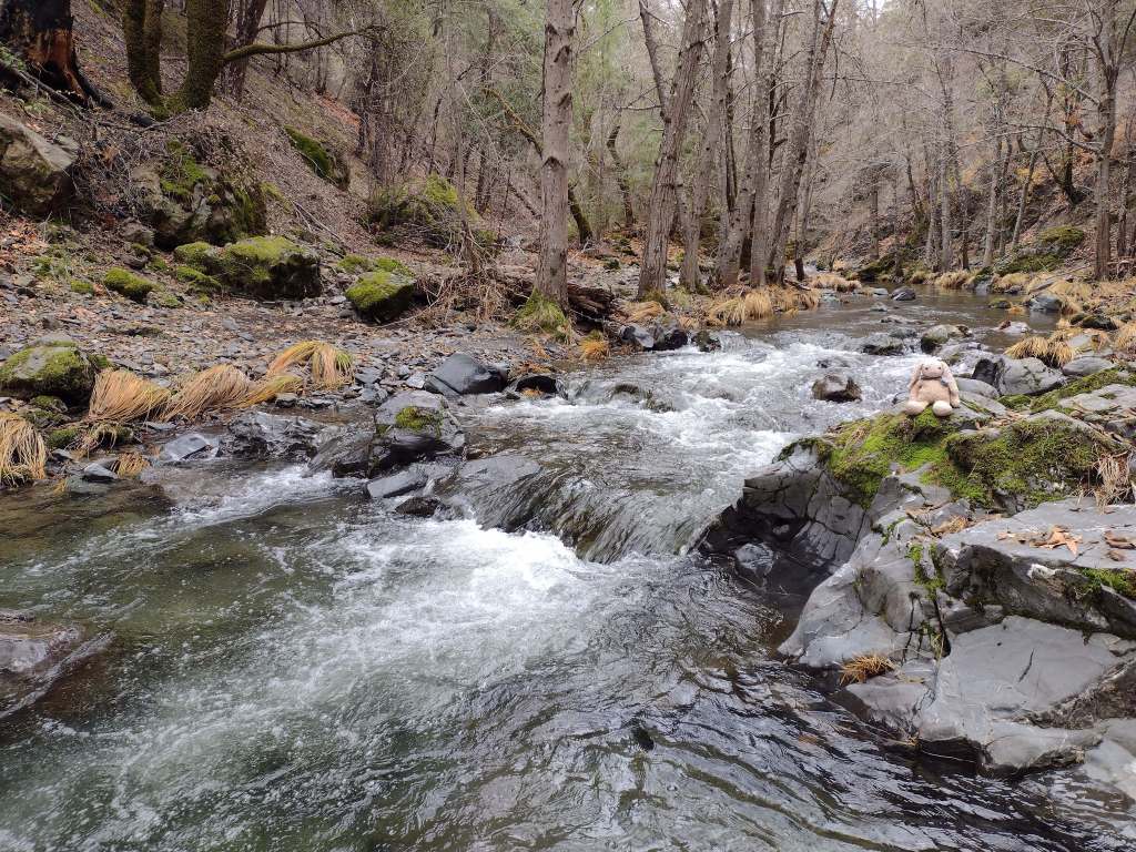
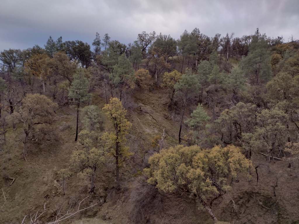
As we drove the winding road from Stonyford to the tiny roadside pullout for Deafy Glade Trail, we passed campgrounds full of RVs that were getting ready for a motorcycle event. Our hike took us far from any road noise, as we dropped down to and waded across the frigid South Fork of Stony Creek and then climbed steeply to 5,300 feet in elevation. The trail continued to the summit of 7,056-foot Snow Mountain, but we already had great views of the Rice Valley and decided to turn around at the 4.5-mile point, just inside the official boundary of the Snow Mountain Wilderness. We expected a desolate landscape after reading about recent fires, but about three-quarters of the trees along the trail were still alive and showed only minor charring at their bases.
Watchable Wildlife
Mendocino National Forest protects a biodiverse area home to tule elk, black-tailed deer, river otters, black bears, and mountain lions. Rivers that drain these highlands are used by California coastal chinook salmon and Northern California steelhead. Fishing in the lakes is a popular activity and a chance to see ospreys and bald eagles.
Photographic Opportunity
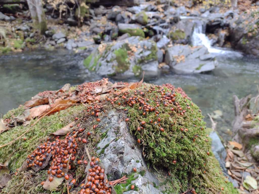
On Deafy Glade Trail, there were congregations of lady bugs that numbered in the hundreds along the South Fork of Stony Creek.
Peak Season
Summer
Fees
None
Road Conditions
Fouts Springs Road (Forest Road M10) is a well-maintained gravel road that crosses the National Forest west of Stonyford. That area is popular with motorcycles and OHVs, so keep an eye out for them while driving.
Camping
Mendocino National Forest manages Bear Creek Campground and Lower Nye Dispersed Campground among many others, plus there are countless places for dispersed camping.
Wilderness Areas
Sanhedrin Wilderness
Snow Mountain Wilderness
Yolla Bolly-Middle Eel Wilderness (also in Six Rivers and Trinity National Forests)
Yuki Wilderness (also run by the Bureau of Land Management)
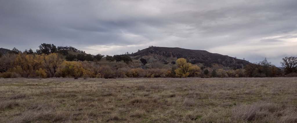
North of the San Francisco Bay and west of Interstate 5, flat-topped 7,056-foot Snow Mountain sheds water into the Berryessa Valley and the Sacramento River. High elevations are dominated by conifers, while below there are oak-studded hillsides, canyons full of riparian trees, and rocky serpentine ridgelines where only specially adapted plants can tolerate the heavy metals in the soil. In 2024, the 13,696-acre Molok Luyuk (“Condor Ridge” in the Patwin language) was added to the National Monument since it contains evidence of human occupation dating back more than 10,000 years.
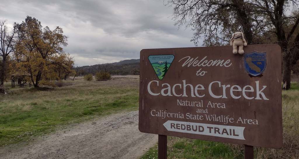
Cache Creek Wilderness, Knoxville Recreation Area, Nye Cabin, Prather Mill, Deafy Glade Trail, Redbud Trail
Must-Do Activity
In the portion of the National Monument run by the Bureau of Land Management, Cache Creek Wilderness is one of the main attractions for whitewater rafting and backpacking. Redbud and Judge Davis Trailheads off paved Highway 20 provide the easiest access for hikers. Further south, Knoxville Recreation Area encompasses rugged terrain for exploration with off-highway vehicles (OHVs). The northern portion of Berryessa Snow Mountain National Monument within Mendocino National Forest has a network of dirt roads that are also popular with OHV riders. In the far north, Hull Mountain is utilized by hang gliders.
Best Trail
In Mendocino National Forest, Deafy Glade Trail starts at a tiny roadside pullout along Fouts Springs Road where campgrounds were full of RVs getting ready for a motorcycle event. Our hike took us far from any road noise, past congregations of lady bugs that numbered in the hundreds as we waded across the frigid South Fork of Stony Creek and climbed steeply to the boundary of the 60,076-acre Snow Mountain Wilderness. The trail continues to climb 4,300 feet total to the summit over the course of eight miles. It is half that length with only 2,000 feet of elevation gain from the west via Summit Trail, although the last 1.5 miles of the access road may be impassable to vehicles.
Photographic Opportunity
From our turnaround spot on Deafy Glade Trail we got great views of the Rice Valley.
Peak Season
Spring
Fees
None
Road Conditions
Fouts Springs Road (Forest Road M10) is a well-maintained gravel road that crosses the National Forest west of Stonyford. That area is popular with OHVs, so keep an eye out for them. Further south, Highway 20 is a paved route to trailheads in Berryessa Snow Mountain National Monument, but four-wheel-drive may be required to access Buck Island Campground. The new Molok Luyuk section northeast of Clear Lake is reached by the gravel Walker Ridge Road that requires a high-clearance vehicle.
Camping
Mendocino National Forest manages Bear Creek Campground and Lower Nye Dispersed Campground, plus numerous others outside the National Monument boundaries. There are several campgrounds on Lake Berryessa, in addition to the ones at Clear Lake State Park and Cache Creek Canyon Regional Park.
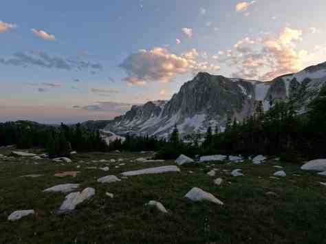
Medicine Bow National Forest is spread across three separate units in southern Wyoming and another located to the north between the cities of Laramie and Casper. Within the latter unit is 10,272-foot Laramie Peak, a major landmark along the historic Oregon Trail. Snowy Range Scenic Byway (Highway 130) provides access in the summer to the high-elevation recreational opportunities found in the mountains. In 1995, Medicine Bow National Forest was administratively combined with Routt National Forest and Thunder Basin National Grassland.
Know someone who loves the National Forests? Gift them our travel guidebook Out in the Woods so they can learn more about this and the 154 other National Forests.
Highlights
Snowy Range Scenic Byway, Brooklyn Lake Campground, Medicine Bow Peak, Lake Marie, Sierra Madres, Aspen Alley, Hog Park Reservoir, Happy Jack Recreation Area, Vedauwoo, Laramie Peak Trail, Continental Divide National Scenic Trail
Must-Do Activity
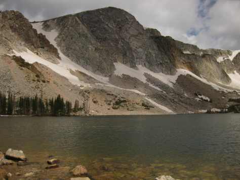
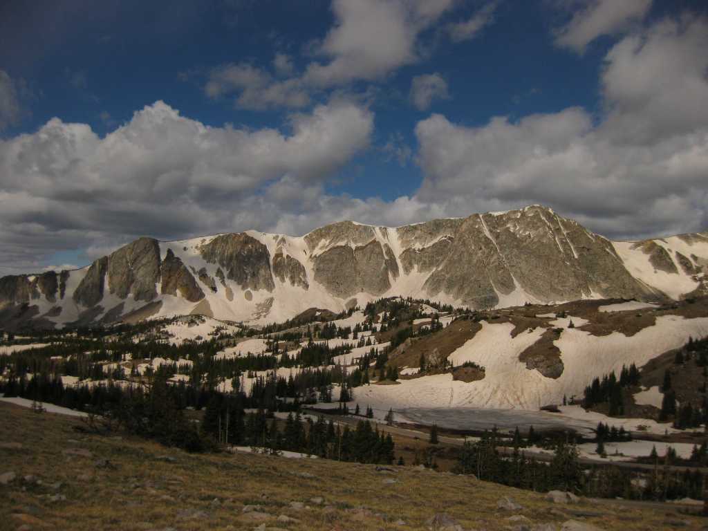
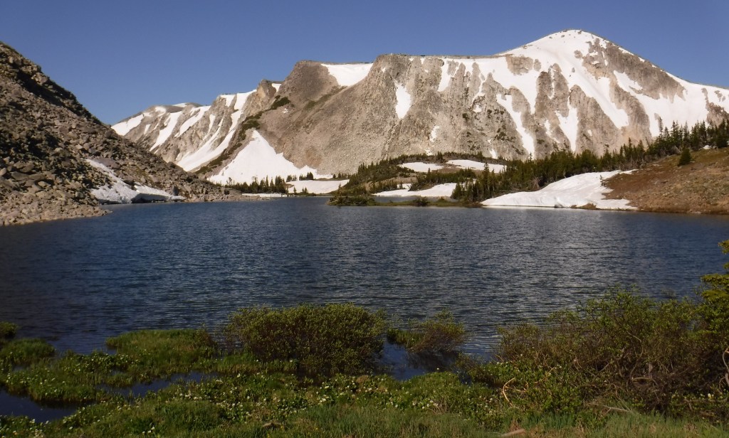
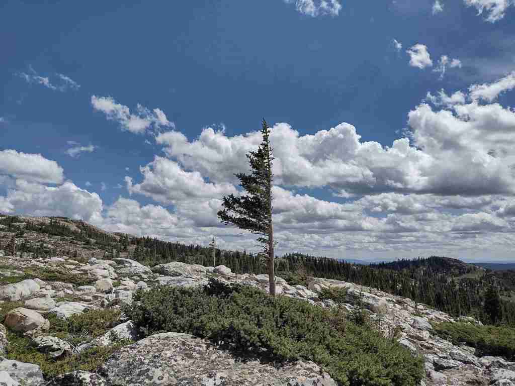
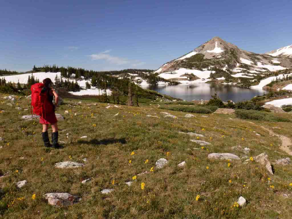
Medicine Bow Peak stands at 12,013 feet within the Snowy Range near the Wyoming-Colorado border and has two steep, rocky trails to its summit which can be combined into a long loop. The 29-mile-long Snowy Range Scenic Byway cuts across this rugged landscape and is a great place for summer camping, fishing, hiking, horseback riding, mountain biking, and backpacking. The road closes in the winter, but is still a destination for snowmobiling, downhill skiing, cross-country skiing, and snowshoeing. Medicine Bow gets its name from annual tribal gatherings when ceremonies were held and mountain mahogany was gathered for bow making.
Best Trail
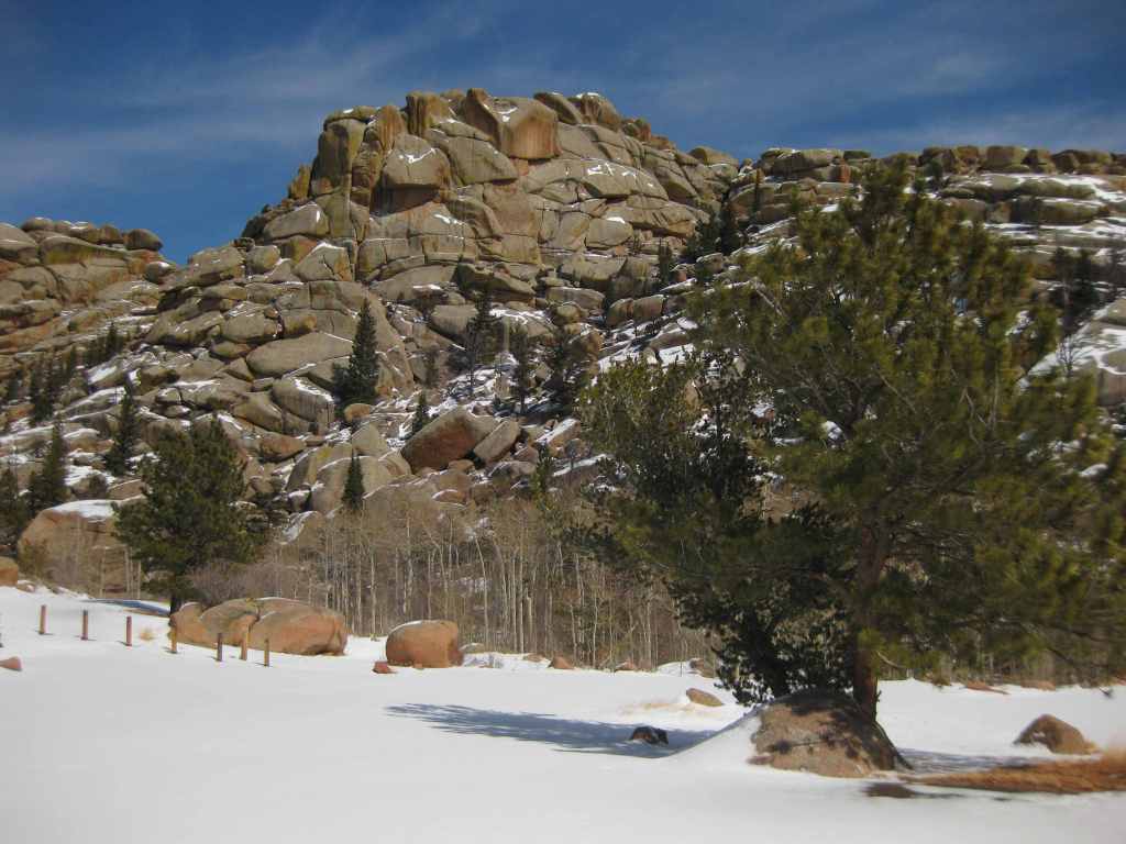
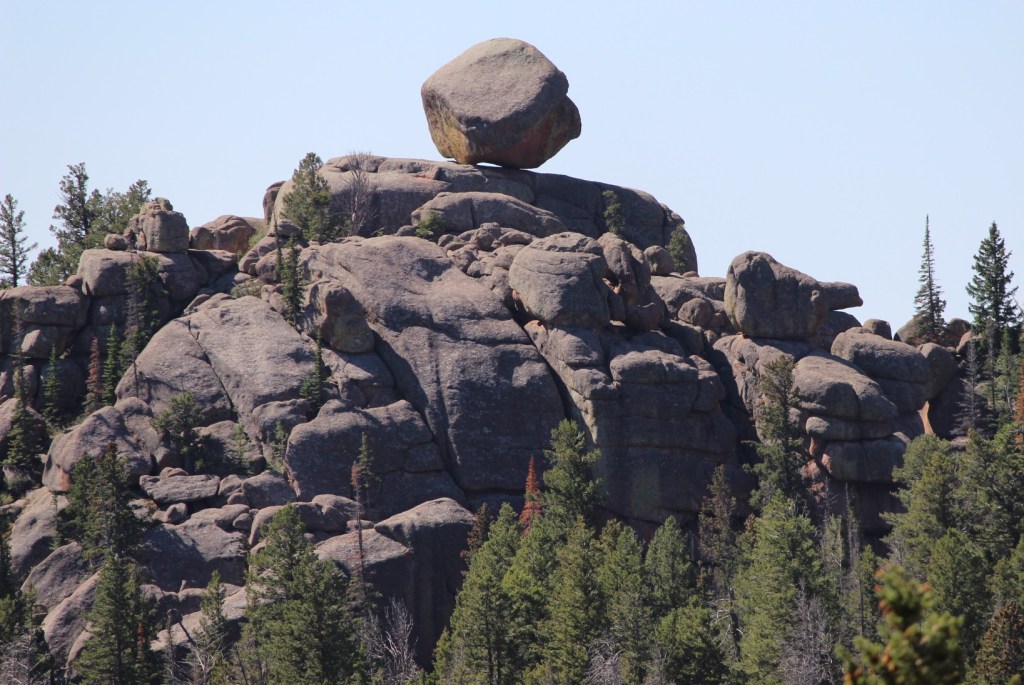
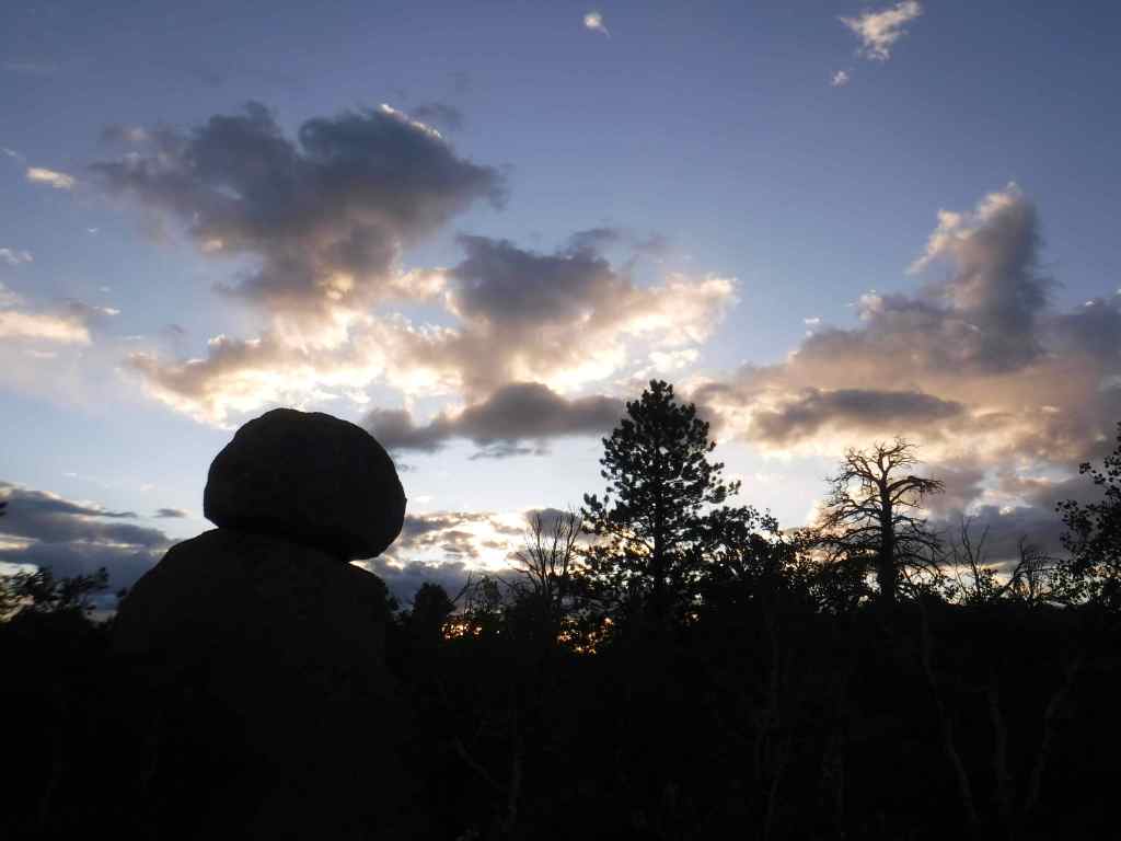
Vedauwoo Recreation Area is visible from Interstate 80 between Laramie and Cheyenne, but feels worlds apart. Its maze of boulders is a fun place to visit in the winter or summer (when the campground is open). The 3.2-mile Turtle Rock Trail circles the area, but it is more fun to climb around off trail. Near the end of winter, snow drifts pile six-feet-high next to ground swept bare. In the glens protected by the 200-foot-tall rock outcrops, snowflakes cling to the bare branches of aspen and maple trees, and stick in the needles of junipers, Douglas-firs, and ponderosa pines. Vedauwoo is an Arapaho word meaning “earthborn,” also the name of a nature spirit character in summer theater performances held here in the 1920s by the University of Wyoming. This forest was once depleted for telegraph poles and railroad ties before the Civilian Conservation Corps (CCC) planted 280,000 trees in the 1930s. It was used for over 50 years of military target practice, significant because there are unexploded munitions still in the ground. Vedauwoo is located near the Happy Jack Recreation Area, which at 8,640 feet is the highest point along Interstate 80 between San Francisco and New York City. This cross-country road was originally called the Lincoln Highway, hence the giant sculpture of Abraham Lincoln’s head at the nearby rest area.
Watchable Wildlife
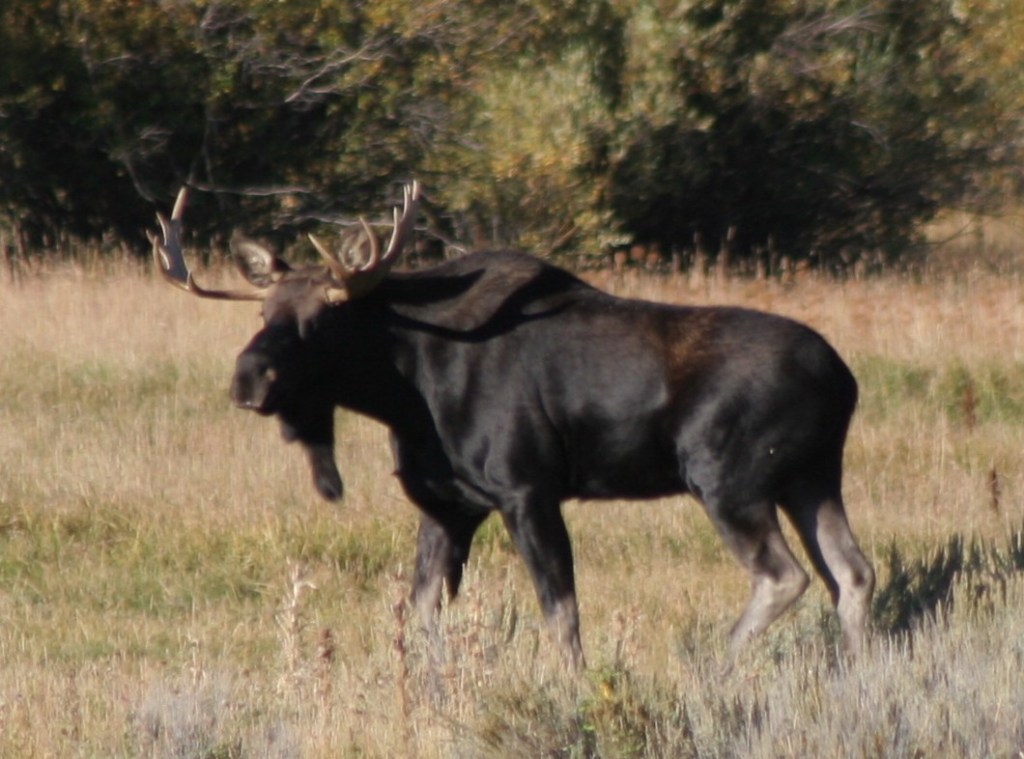
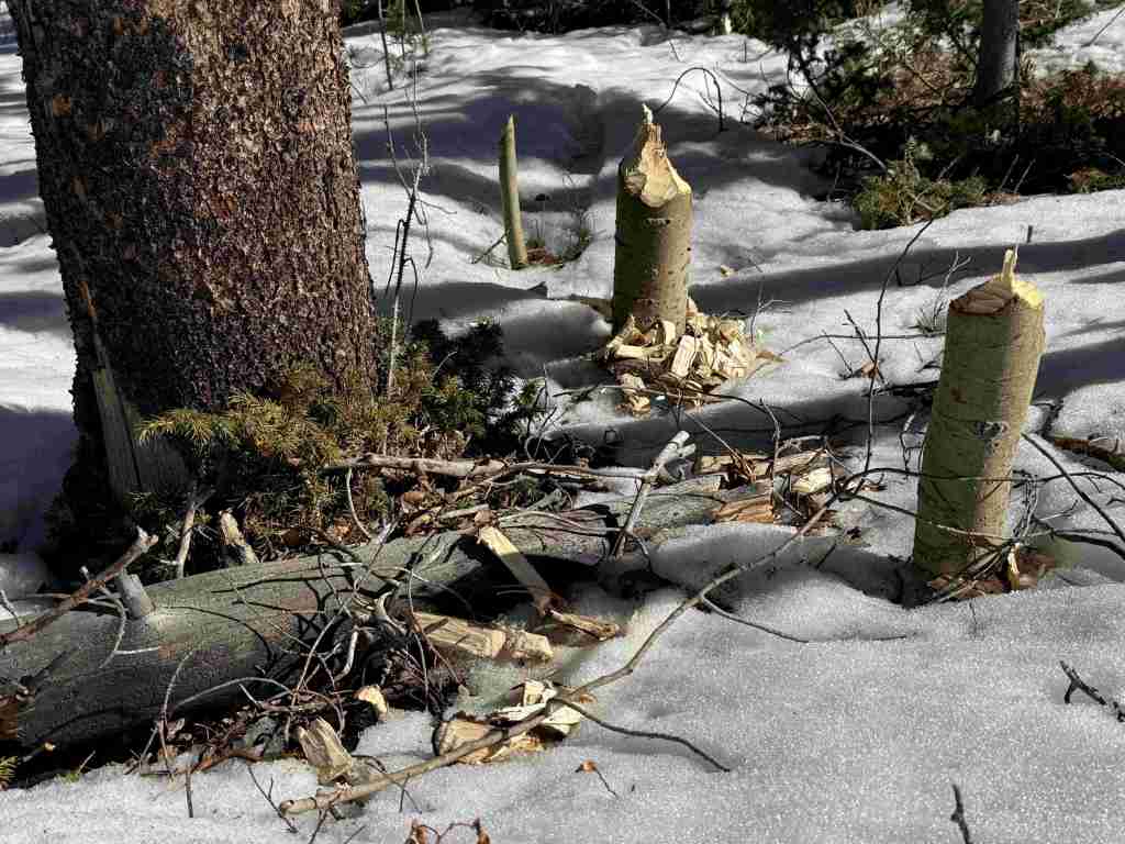
After a cold day on the National Forest’s cross-country ski trails at Brush Creek (built in the 1930s by the Civilian Conservation Corps) or Chimney Park, we always made it a point to stop in Saratoga where hot springs water is piped into the free outdoor Hobo Pool adjacent to the North Platte River. This area is a favored wintering ground for bald and golden eagles, so you may witness a flyover during your soak. Also watch for mule deer in town and a variety of waterfowl along the river. Moose, elk, and pronghorn (at lower elevations) are found in the National Forest. Black bears, mountain lions, coyotes, and red foxes reside here, too. Trout fishing in lakes and streams is a major draw to the mountains.
Photographic Opportunity
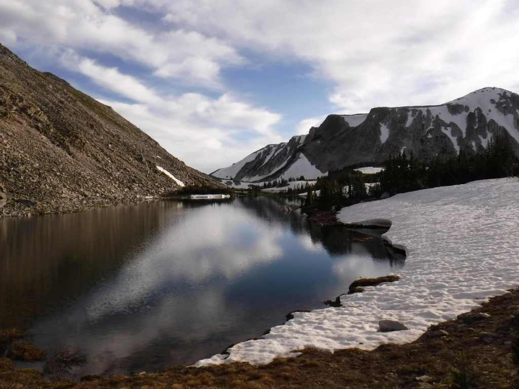
Lake Marie along the Snowy Range Scenic Byway is one of the most widely used photographs for tourism publications in this corner of Wyoming.
Peak Season
Summer
Fees
Day use fees of $5 per vehicle (or America the Beautiful pass) apply at Vedauwoo, Tie City Trailhead, Happy Jack Trailhead, and the western terminus of Headquarters National Recreation Trail, as well as Sugarloaf and West Lake Marie Trailhead along Snowy Range Scenic Byway.
Road Conditions
The gravel Vedauwoo Road (closed in spring) is good enough for RVs, as are some of the side roads off paved Snowy Range Scenic Byway (closed in winter). Beware the rutted Forest Road 336 near Libby Flats and some other four-wheel-drive-only routes. Several roads become snowmobile routes in the winter, including most of Snowy Range Scenic Byway west of the ski resort.
Camping
In addition to a large designated campground at the Vedauwoo exit off Interstate 80, Vedauwoo Road has designated free campsites marked by a post and offer dispersed camping along other surrounding roads. Brooklyn Lake is one of several designated campgrounds along the Snowy Range Scenic Byway where dispersed campsites are harder to find. Between Casper and Cheyenne, Laramie Peak dominates the prairie landscape and if you hike to its summit you can overlook hundreds of miles of the historic Oregon Trail. Although much of this section of forest has been affected by wildfires, there is still plenty of natural beauty and out of the way places to pitch a tent along its labyrinthine road system.
Wilderness Areas
Encampment River Wilderness
Huston Park Wilderness
Platte River Wilderness (also in Routt National Forest)
VedauwooBull mooseVedauwooCross-country skiing at Chimney ParkBeaver activityMule deerHeadquarters National Recreation TrailTiff on the Rail TrailSnow sledding at Happy Jack Recreation Area
Explore More – Near Vedauwoo, a 60-foot-tall granite pyramid was built in 1882 to honor whom?
Know someone who loves the National Forests? Gift them our travel guidebook Out in the Woods so they can learn more about this and the 154 other National Forests.
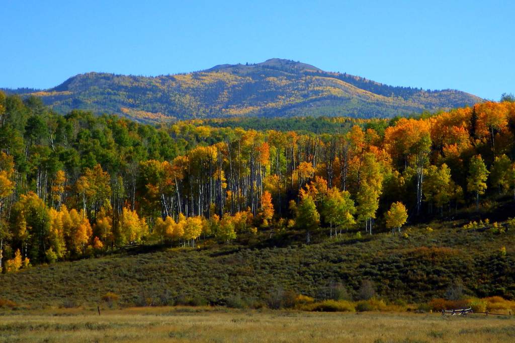
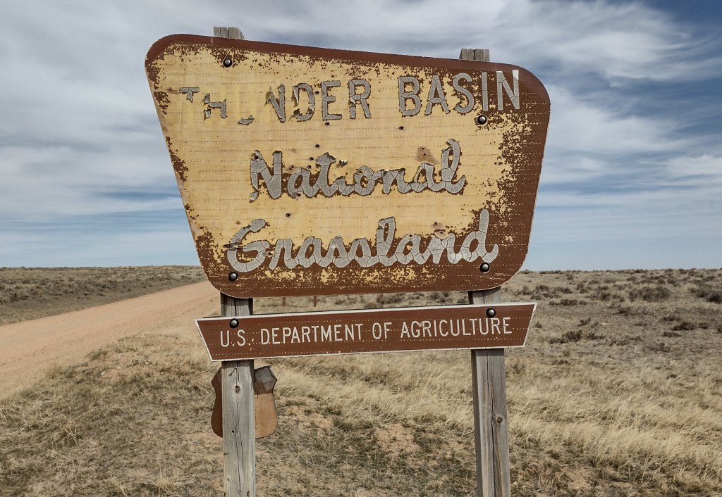
Thunder Basin is part of the Powder River Basin situated between the Big Horn Mountains and the Black Hills. Elevations in the National Grassland range from 3,600 to 5,200 feet in the transition zone between the Great Plains and sagebrush steppe. It was established in 1960 and is currently managed along with Routt and Medicine Bow National Forests. Its acreage is interspersed with private inholdings and areas run by the Bureau of Land Management.
Highlights
Weston Recreation Area, Soda Well Picnic Site, reservoirs
Must-Do Activity
Although Thunder Basin National Grassland is mostly undeveloped for tourists, Weston Recreation Area is located 30 miles north of Gillette off Highway 59 with at least 15 miles of Off-Highway Vehicle (OHV) trails. Fishing for warm water species like smallmouth bass and bluegill is possible at the following reservoirs: East Iron Creek, Kellogg, Little Powder, Little Thunder, Turner, and Weston (where there is a vault toilet). There is a picnic shelter at Soda Well, site of the ghost town of Weston, Wyoming.
Best Trail
The East Upton Trailhead and Kellogg Trailhead are both located in the northeastern-most corner of the National Grassland about two miles north of Upton. Generally, it is possible to hike cross-country wearing sturdy boots to avoid hidden prickly pear and hedgehog cacti. Be sure to wear bright colors during the various hunting seasons.
Watchable Wildlife
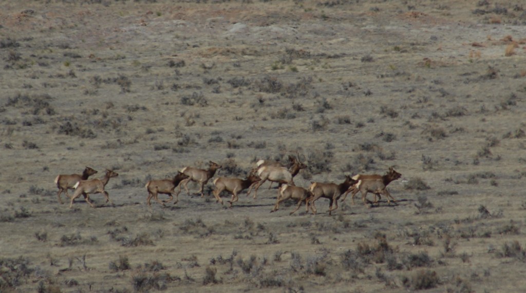
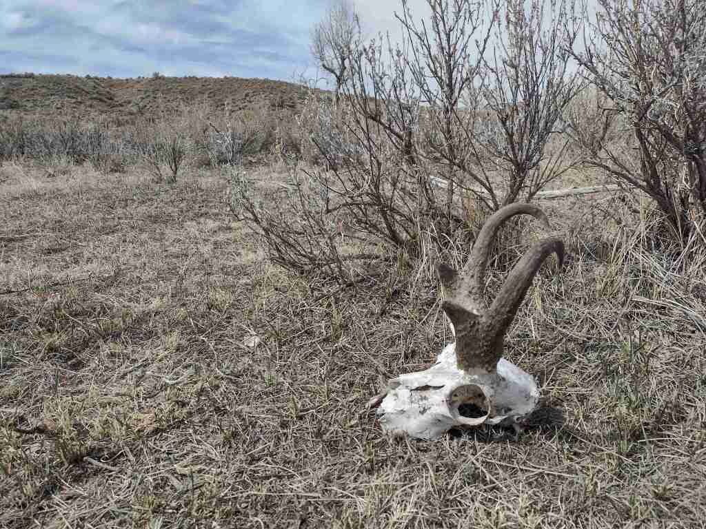
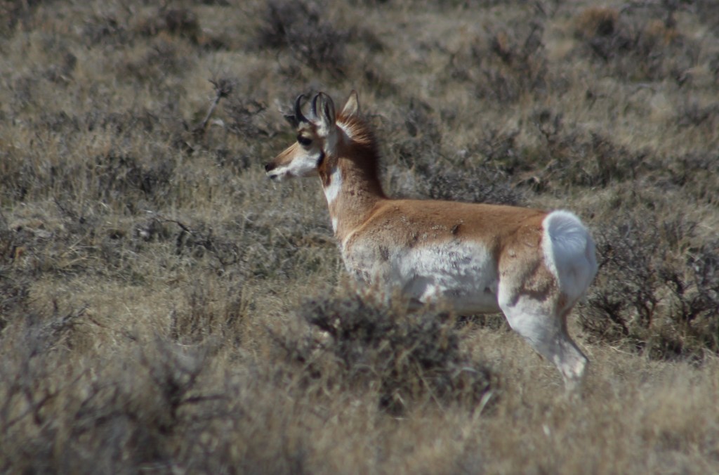
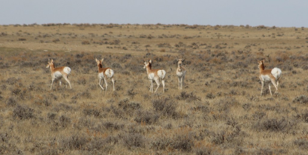
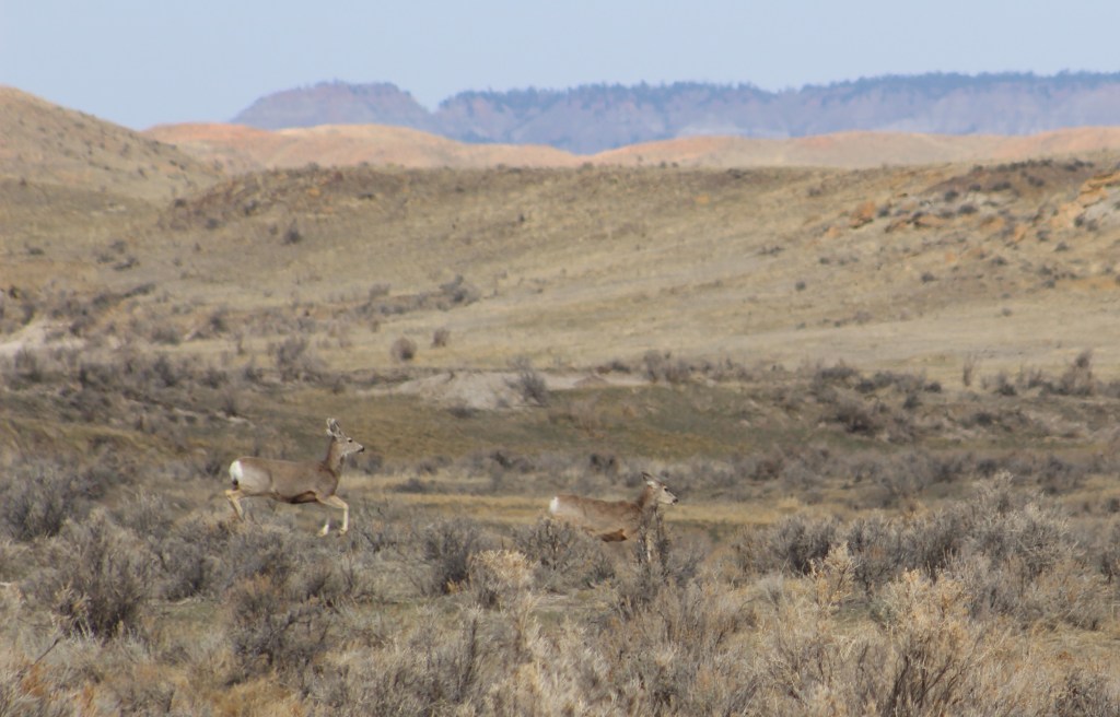
On our March visit to Thunder Basin National Grassland, we saw pronghorn, elk, and mule deer out grazing on the prairie. Small rodents are prevalent, including white-tailed jackrabbits, cottontail rabbits, kangaroo rats, thirteen-lined ground squirrels, and black-tailed prairie dogs, a keystone species whose burrows create habitat for burrowing owls, prairie rattlesnakes, mountain plovers, and endangered black-footed ferrets. Predatory mammals found here include the swift fox, red fox, badger, and coyote. Sagebrush cover may support sage grouse, a species of management concern.
Photographic Opportunity
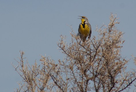
Early spring is a great time to visit to see large ungulates before they migrate to higher elevations and to hear the first mating calls of meadowlarks.
Peak Season
Spring
Fees
None
Road Conditions
The unpaved roads we drove were graded and accessible to passenger vehicles, but that is probably not the case when they are wet.
Camping
There are no developed campgrounds in this National Grassland, but dispersed camping is allowed on public land so use the app or get a good map to make sure you are not on the private land parcels interspersed throughout. The Forest Service website recommends camping along Forest Road 1246.