Allegheny National Forest
Pennsylvania
Managed by U.S. Forest Service, Eastern Region
742,693 acres (513,175 federal/ 229,518 other)
Website: https://www.fs.usda.gov/allegheny
Overview
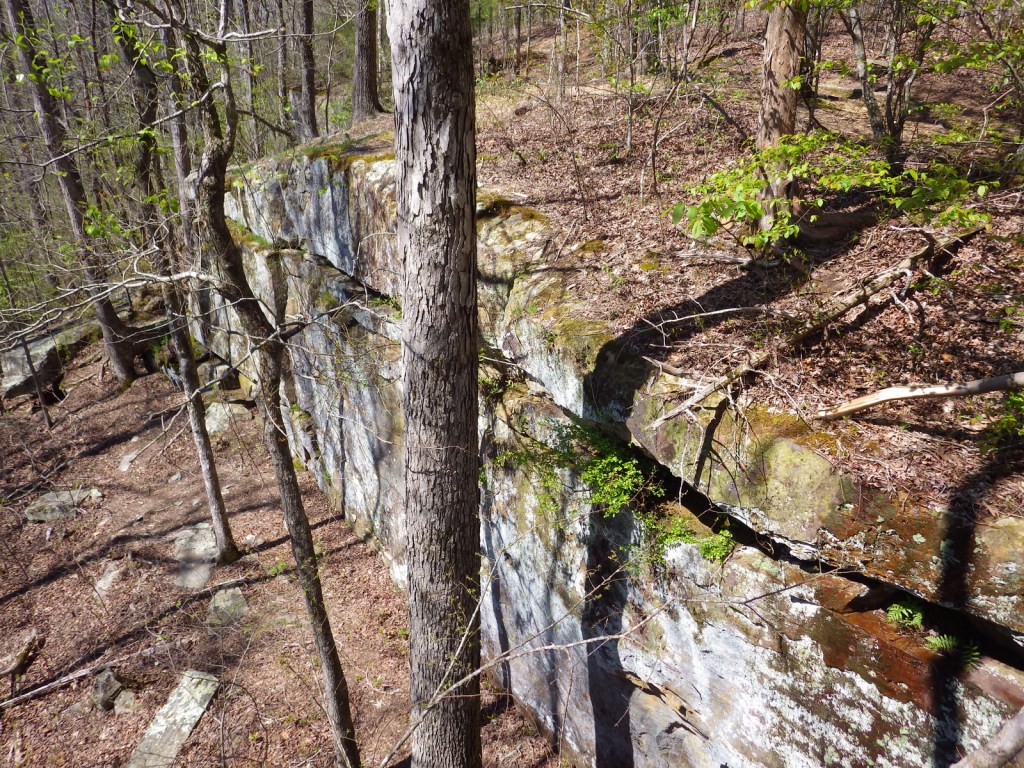
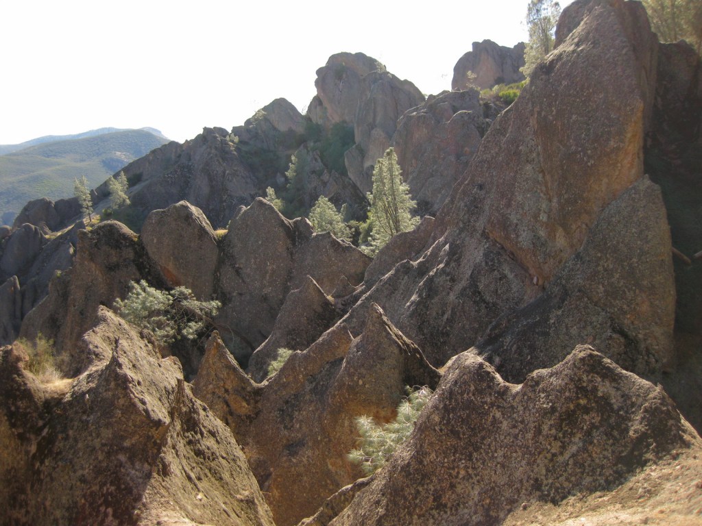
The only National Forest in Pennsylvania was created in 1923 utilizing the federal government’s ability to purchase land under the Weeks Act of 1911. However, they could not afford the subsurface or mineral rights, which has created issues in this oil-producing area. Before it became Allegheny National Forest, most of the hillsides were clearcut to feed the area’s wood chemical plants, allowing black cherry and early successional species to dominate the second growth forests. The National Forest contains two Wild and Scenic Rivers: the Clarion River (51.7 miles) and Allegheny River (87 miles in three separate sections).

Highlights
Allegheny National Recreation Area, Hearts Content Scenic Area, Willow Bay Recreation Area, Old Powerhouse, Timberdoodle Flats Interpretive Trail, Minister Creek, Buzzard Swamp Hiking Area, Clarion Wild and Scenic River, Allegheny Wild and Scenic River, Buckaloons Recreation Area, Hall Barn Wildlife Viewing Area, North Country National Scenic Trail
Must-Do Activity
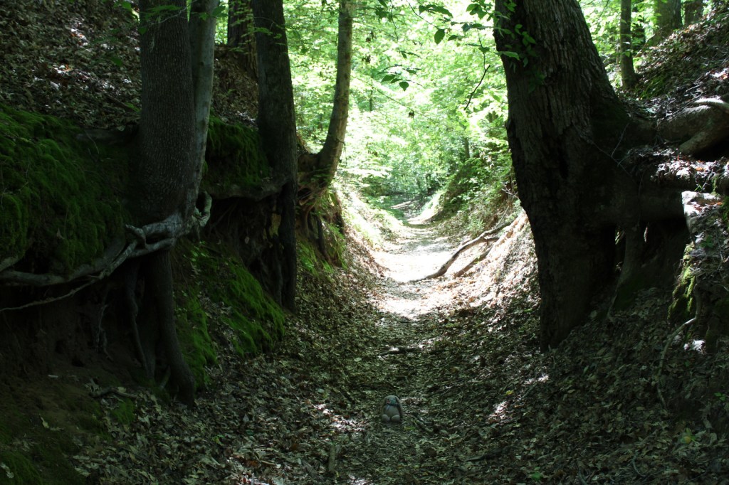
A good place to start exploring Allegheny National Forest is by driving the Longhouse Scenic Byway, a 36-mile loop, which includes views of the Allegheny Reservoir and Kinzua Dam, plus a side trip up to Jakes Rocks Overlook. We drove in from the east and found the easy walks on the Timberdoodle Flats Wildlife Interpretive Trail to be a good introduction to this region. This is one of the few places in Pennsylvania with old-growth forests, so be sure to stop at Hearts Content Scenic Area or Tionesta Scenic and Research Natural Areas.
Best Trail
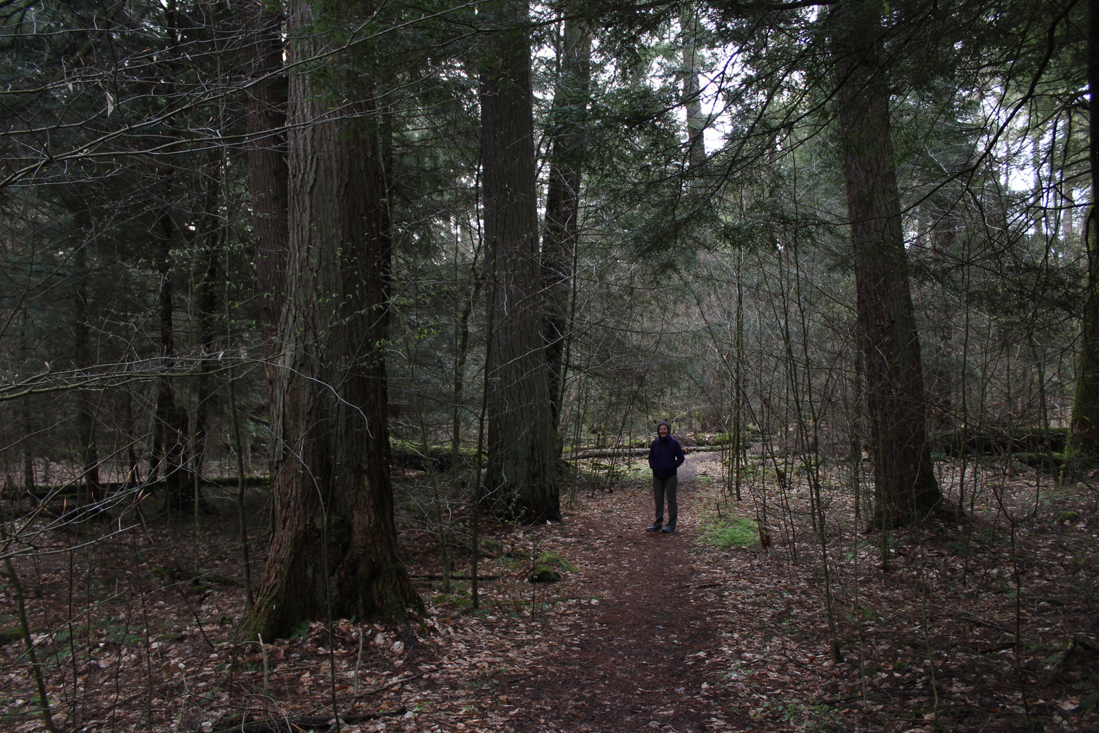
Huge eastern hemlock and eastern white pine trees up to 400 years old can be found in the 20-acre Hearts Content Scenic Area. This National Natural Landmark has a picnic area constructed by the Civilian Conservation Corps (CCC) and is located across from a nice campground. There are two short, flat loop trails located here, but you can also connect into 7.8 miles of cross-country skiing and snowshoeing routes. Other popular hiking destinations include Rimrock Trail and a 10-mile section of the North Country National Scenic Trail within the Tracy Ridge Hiking Trail System (see our post on Allegheny National Recreation Area for more information).
Watchable Wildlife
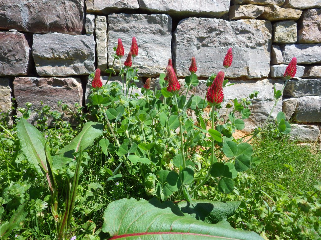
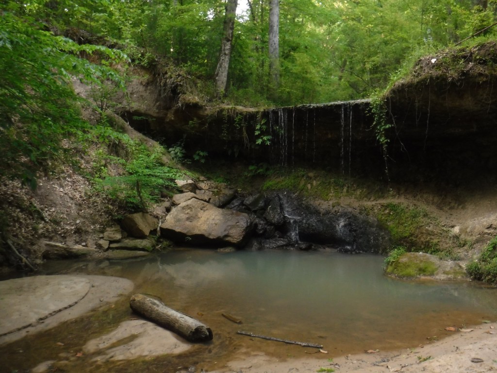
As hard as it is to believe given their prevalence now, low populations of white-tailed deer in the 1920s allowed this new National Forest to grow back quickly. Campers should exercise caution with their food and trash since black bears are in the area. Turkeys, bald eagles, barred owls, Canada geese, black-capped chickadees, and pileated woodpeckers are common bird species. Hall Barn Wildlife Viewing Area is known for its summer population of 1,000 roosting bats. There is also evidence of beavers on the Timberdoodle Flats Wildlife Interpretive Trail. Allegheny Reservoir has walleye, trout, bass, catfish, northern pike, and muskellunge, and small native brook trout can be found in the Farnsworth Stream and other creeks. We recently learned that the PA Firefly Festival is held in Tionesta, Pennsylvania every June because of their population of synchronous fireflies (or lightning bugs).
Instagram-worthy Photo
Kinzua Dam was completed in 1965 and stands 179 feet tall and 1,897 feet in length. Kinzua is a Seneca Indian word that translates as “place of many big fishes.” Watch for fish that gather in eddies at the edges of the Allegheny Reservoir near the dam, but remember that fishing and feeding the fish is prohibited at this spot.

Peak Season
Summer
Fees
There is an entrance fee at both Willow Bay and Buckaloons Recreation Areas, but it is half price with an America the Beautiful pass.
Road Conditions
All roads are paved to Willow Bay Recreation Area and Hearts Content Scenic Area, which are popular with RV campers.
Camping
Allegheny National Forest contains 15 campgrounds with more than 1,000 sites, and Willow Bay Recreation Area also has cabins for rent. We enjoyed our stay at Heart’s Content Campground, but found Buckaloons Campground to be too crowded. Allegheny Islands Wilderness has seven islands that can be used for boat-in dispersed camping.
Wilderness Areas
Allegheny Islands Wilderness
Hickory Creek Wilderness
Related Sites
Allegheny National Recreation Area (Pennsylvania)
Grey Towers National Historic Site (Pennsylvania)
Fort Necessity National Battlefield (Pennsylvania)
Nearest National Park
Cuyahoga Valley (Ohio)


Conifer Tree Species
eastern hemlock, eastern white pine
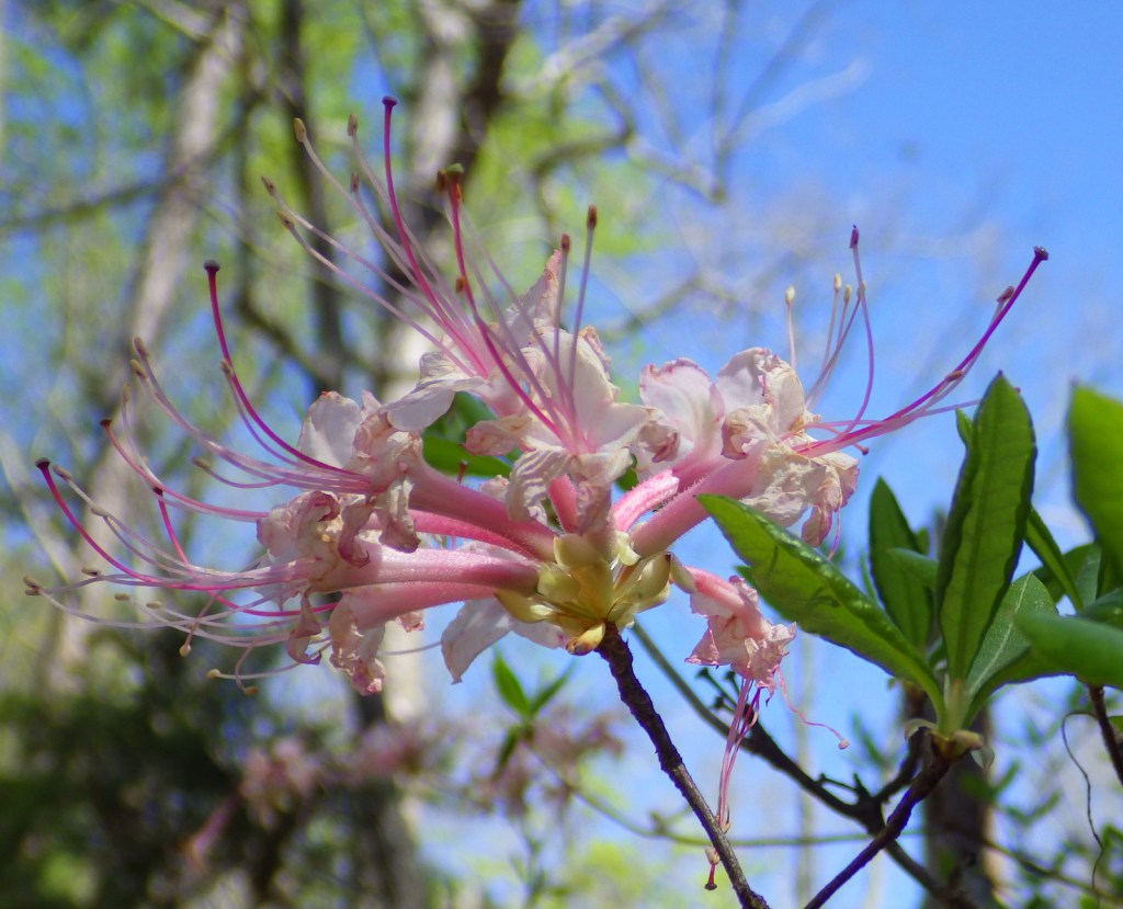
Flowering Tree Species
sugar maple, black maple, red maple, striped maple, silver maple, mountain maple, yellow birch, sweet birch, black walnut, bitternut hickory, shagbark hickory, sycamore, American beech, white ash, tulip-poplar, green ash, cucumber magnolia, quaking aspen, bigtooth aspen, black cherry, pin cherry, choke cherry, northern red oak, basswood, American elm, slippery elm
Explore More – Timberdoodle is a local nickname for which native bird species that nests in this forest?