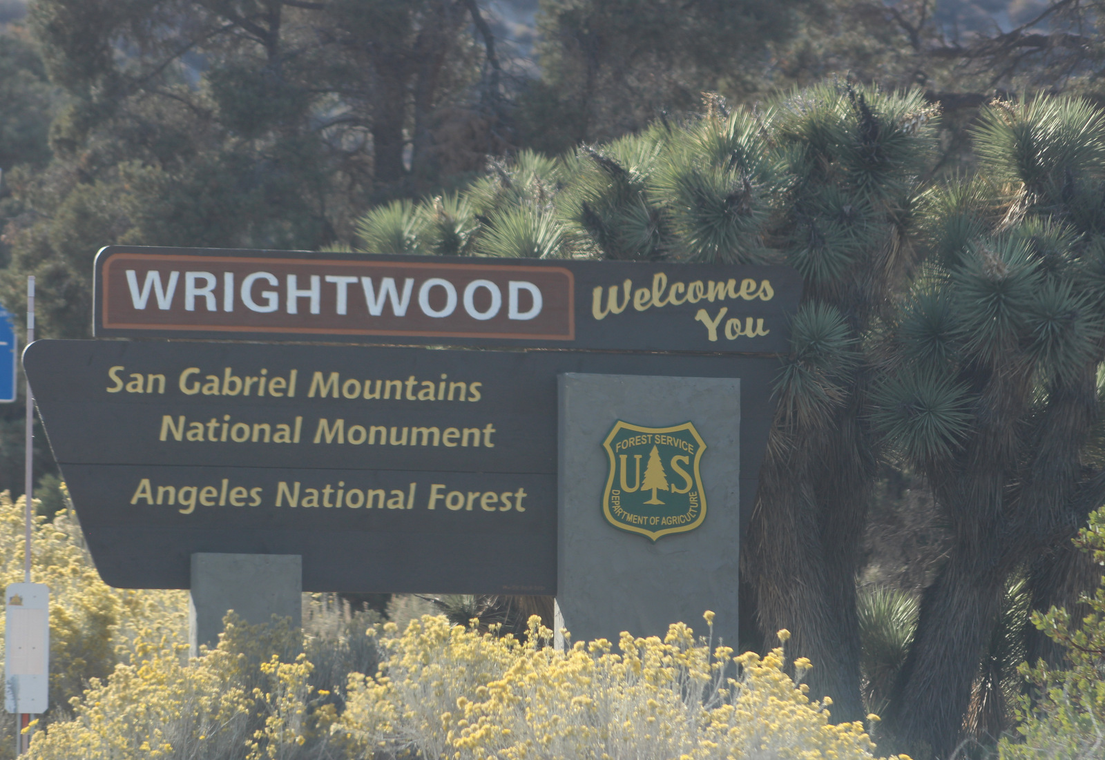
San Gabriel Mountains National Monument
California
Managed by U.S. Forest Service, Angeles National Forest
452,096 acres
Website: https://www.fs.usda.gov/r05/angeles/recreation/san-gabriel-mountains-national-monument
Overview
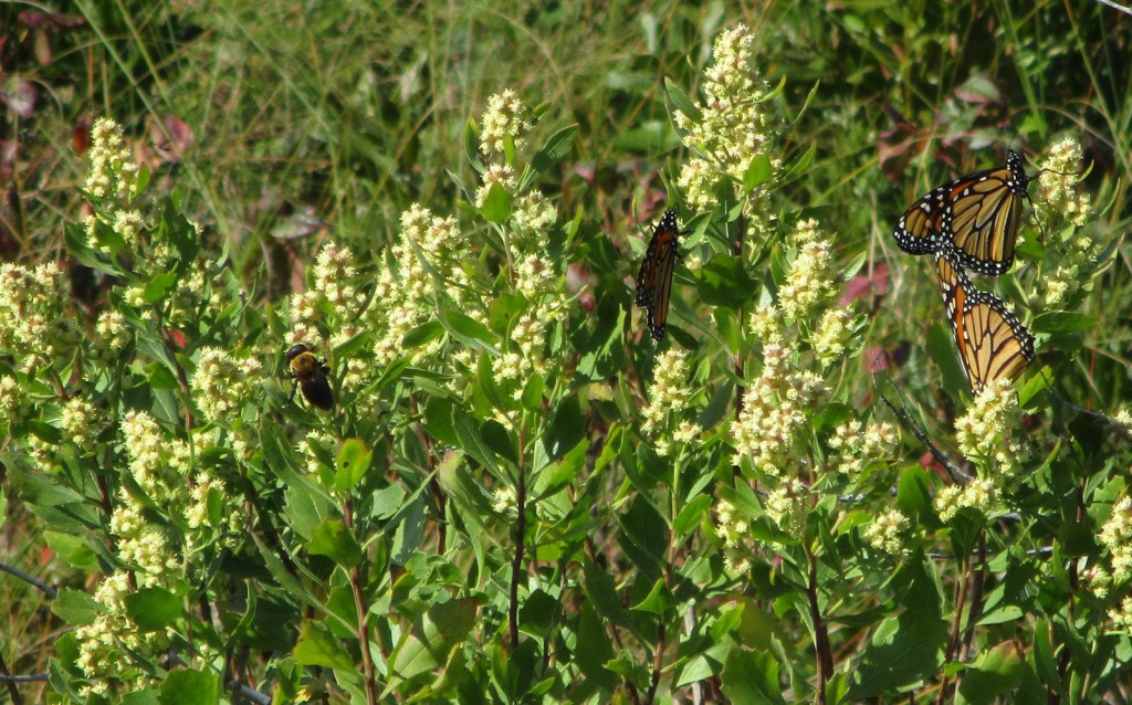
San Gabriel Mountains National Monument was proclaimed on October 10, 2014, by President Barack Obama under the power of the 1906 Antiquities Act and expanded by 105,919 acres ten years later. Located just north of the Los Angeles metropolitan area, about 15-million people live within 90 minutes of this mountain range, which provides 30% of their drinking water. Despite this region’s reputation for sun and surf, the high elevations (topping out at 10,064 feet on Mt. San Antonio) regularly get snow in the winter. The vegetation ranges from chaparral to oak and mixed evergreen forest and is prone to wildfire (see our post on Angeles National Forest for information on recent fires).

Highlights
Angeles Crest Highway, Inspiration Point, Lightning Ridge Nature Trail, Mt. San Antonio, Mt. Baden-Powell, Throop Peak, Silver Moccasin Trail, Gabrielmo National Recreation Trail, High Desert National Recreation Trail, Pacific Crest National Scenic Trail
Must-Do Activity
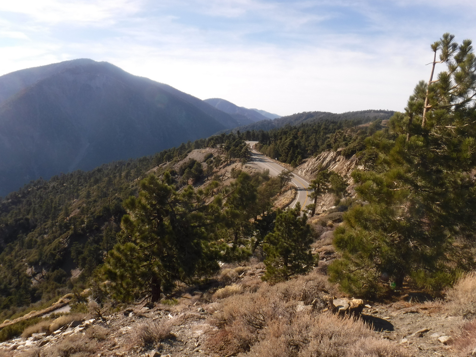
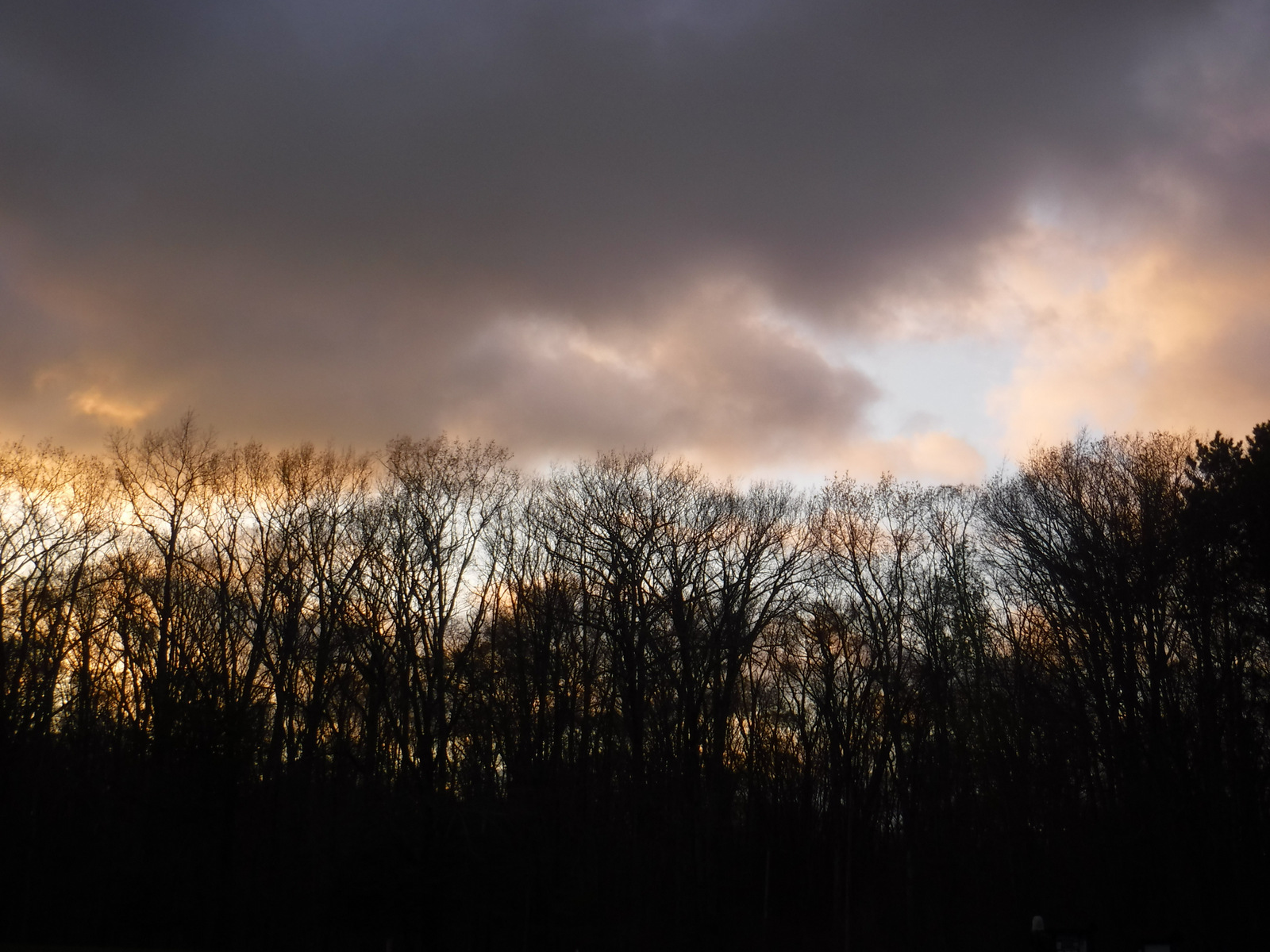
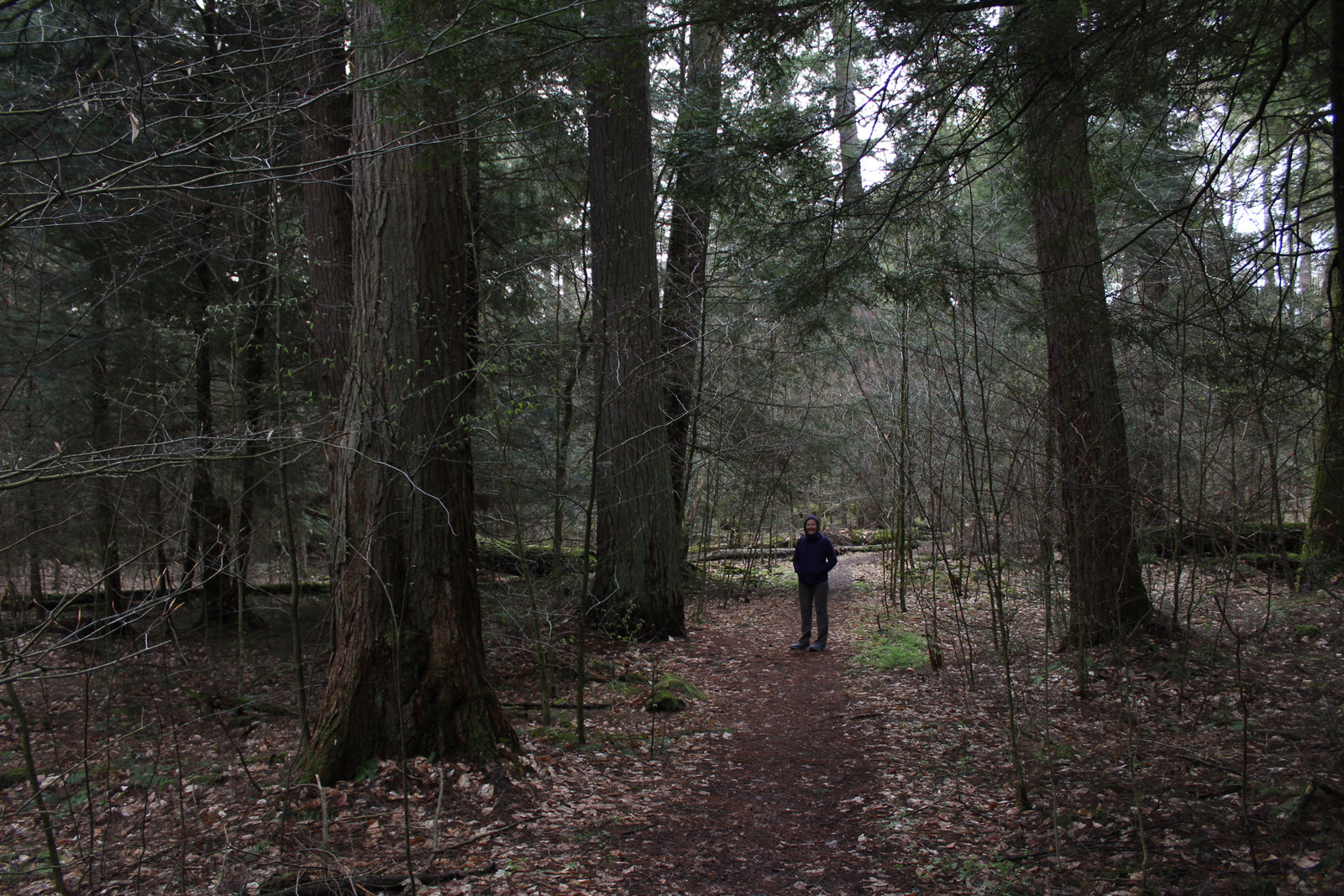
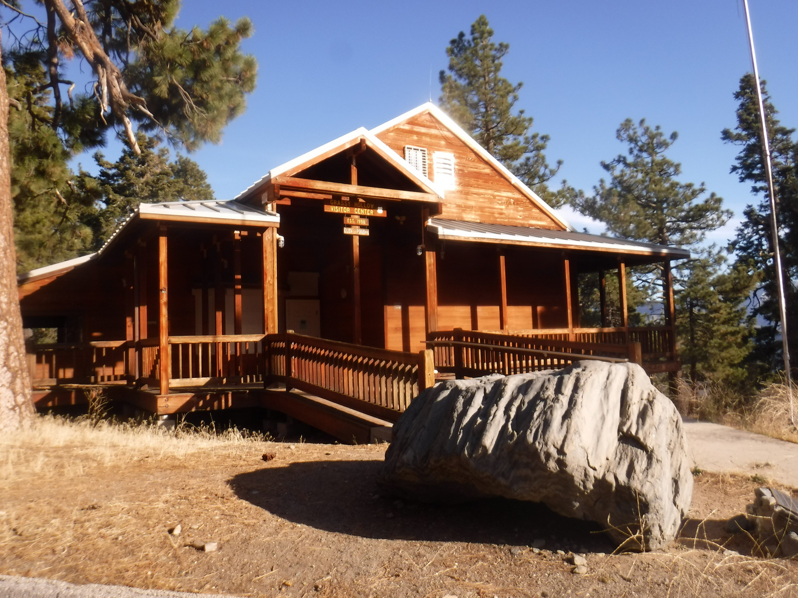
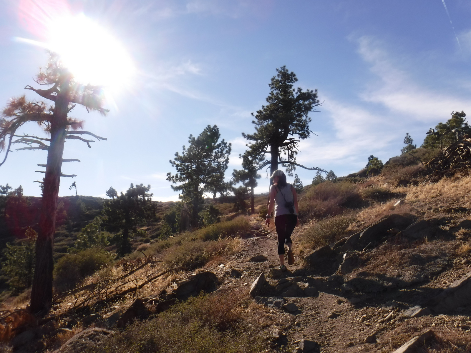
It was a sunny November afternoon at 7,000 feet in elevation on the Angeles Crest Highway (Highway 2), which traverses the steep-sided San Gabriel Mountains that rise above southern California’s infamous smog. The rich odor of incense-cedar trees filled the warm air as we ascended the rocky trail from the historic Big Pines Visitor Center. This soulful smell may be more familiar to you than you think since its wood is commonly used to make pencils. The partially shaded path was lined with interpretive signs that introduced the trees and shrubs growing on this dry, south-facing hillside. Across the narrow valley, a ski resort was cut into the dense stands of conifers on the shady north slope.
Best Trail
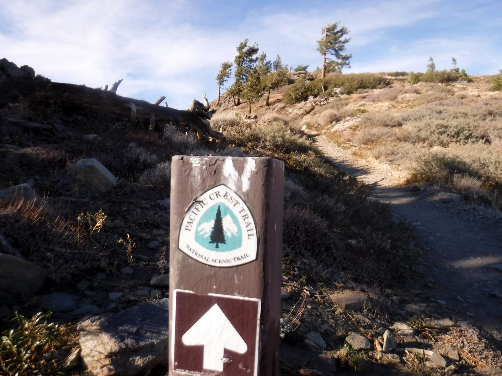
The 2,600-mile Pacific Crest National Scenic Trail cuts across much of the National Monument with easy access from Highway 2 at the Lightning Ridge Nature Trail and Grassy Hollow Visitor Center. Other long trails include the Gabrielmo National Recreation Trail and High Desert National Recreation Trail.
Instagram-worthy Photo
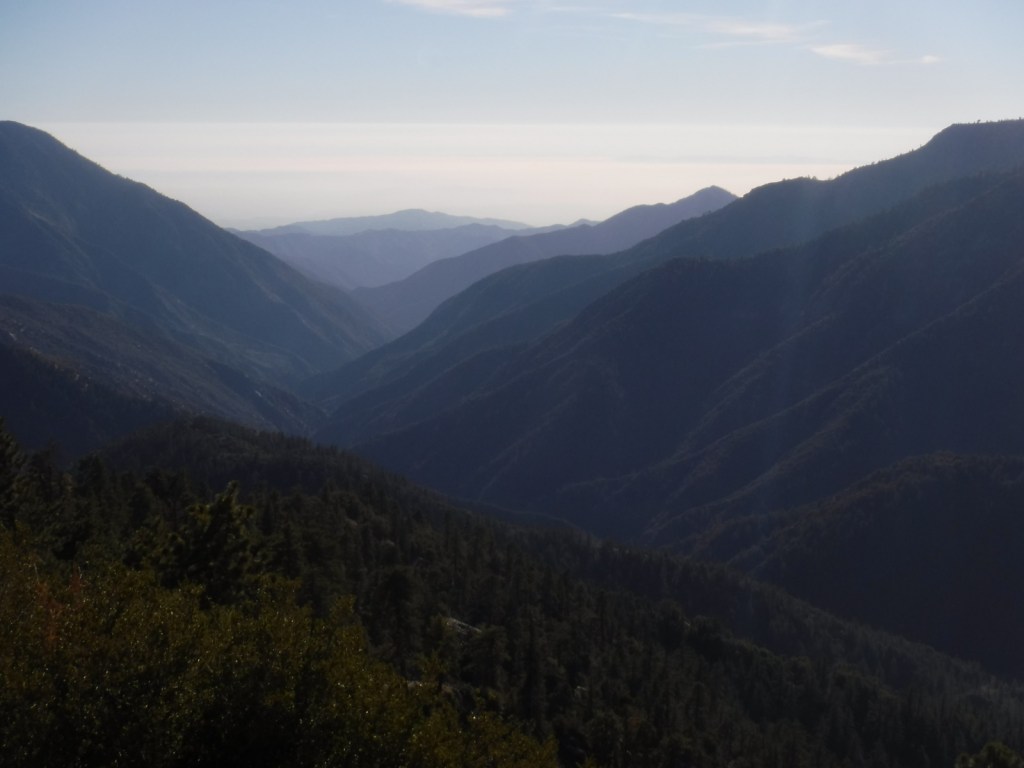
Just west on Highway 2 from the Big Pines Visitor Center is Inspiration Point, which looks south at the often smoggy Los Angeles metropolitan area.
Peak Season
Spring and fall
Fees
An Adventure Pass is required to park at many trailheads. The Forest Service also accepts all America the Beautiful Passes, which can be also used at National Park Service sites.
Road Conditions
The paved Angeles Crest Highway cuts through the National Monument and it used to go through to Glendale, but closed due to damage from the 2020 Bobcat Fire.
Camping
There are many campgrounds in Angeles National Forest, but we did not see any great places to do dispersed car camping when we drove through different portions of it (although we did not drive any dirt roads which is where they typically are found).
Wilderness Areas
Pleasant View Ridge Wilderness
San Gabriel Wilderness
Sheep Mountain Wilderness (also in San Bernardino National Forest)
Related Sites
Saint Francis Dam Disaster National Memorial and Monument (California)
Santa Monica Mountains National Recreation Area (California)
Santa Rosa and San Jacinto Mountains National Monument (California)
Nearest National Park
Channel Islands (California)


Explore More – The movement to preserve the San Gabriel Mountains began in 2003 with what Congresswoman initiating an environmental feasibility report?