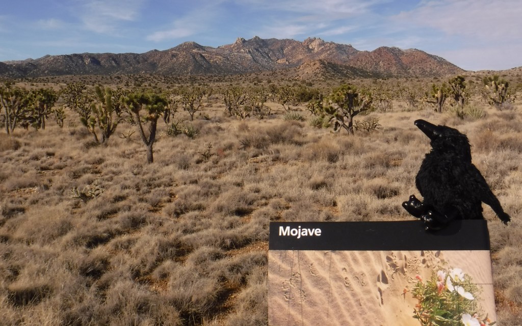
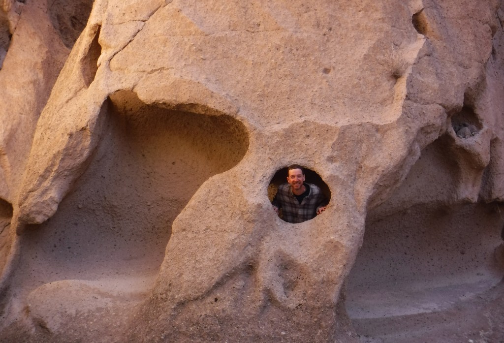
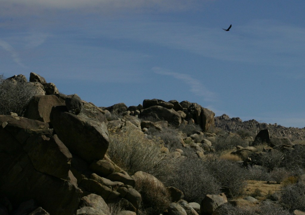
Mojave National Preserve is a massive 1.6-million acres of desert bounded by Interstate 15 to the north and Interstate 40 to the south. Passed by millions of commuters every year, it does not take many miles of driving to leave behind the bustling freeways for a quiet landscape. Species diversity is high here given its elevation range from 800 to 7,929 feet and its place at the intersection of three deserts: the Mojave, Great Basin, and Sonoran. Watch for desert tortoises, Mojave rattlesnakes, roadrunners, ravens, kangaroo rats, mountain lions, mule deer, and some of the 1,000 bighorn sheep that reside in the preserve.
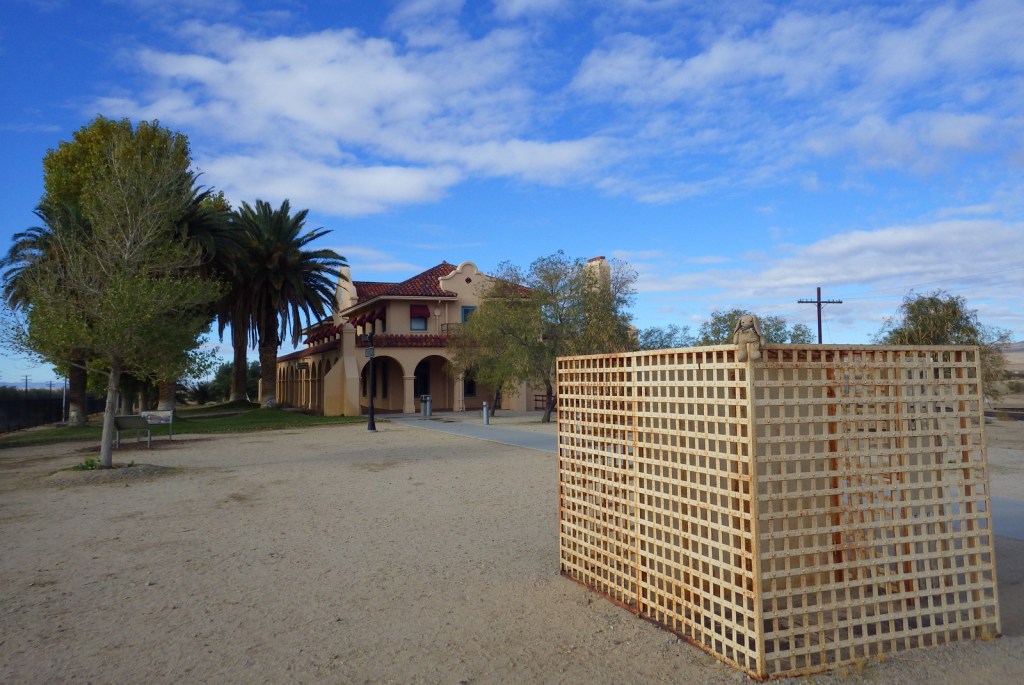
If you are driving on I-15 between California and Nevada consider entering the preserve via the Cima Road exit, with a first stop at its gas station’s interesting waterfall urinal in the men’s restroom. From there drive south on a paved road into a dense Joshua tree forest on the gently sloping flanks of the enormous Cima Dome (an extinct volcano) and then stop at Kelso Depot where the National Park Service (NPS) operates a visitor center and museum. From there you can continue south to the beautiful Kelso Dunes or take the paved Kelbaker Road back to Interstate 15 at Baker, home of the world’s tallest thermometer.
Best Trail
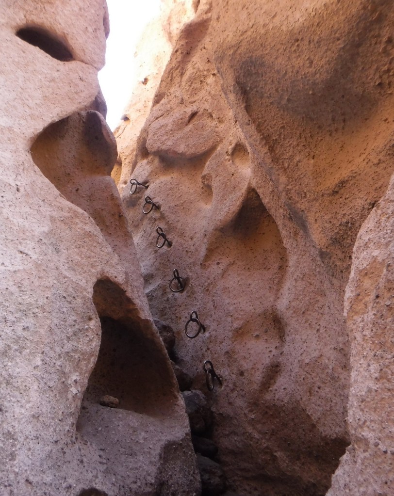
The one-mile Rings Loop Trail has metal rings cemented into its canyon walls in some places to help you ascend and descend steep portions. Hole-in-the-Wall Nature Trail and the six-mile Barber Peak Loop Trail are also found in this area near the NPS campgrounds.
Instagram-worthy Photo
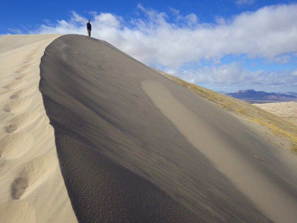
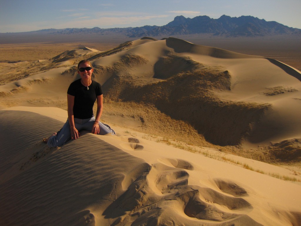
We love sand dunes (see our Top 10 list) and one of our favorites is the nearly 700-foot tall Kelso Dunes, which create a booming sound when the sand shifts and moisture conditions are right.
The main roads are paved, however, most of the 1,000 miles of roads are unpaved and some of them require a high-clearance vehicle, especially if you want to access neighboring Castle Mountains National Monument.
Camping
Dispersed camping is allowed throughout most of the preserve, but there are also NPS campgrounds around the Hole-in-the-Wall Ranger Station.
Off the coast of Georgia, Cumberland Island National Seashore was established in 1972 and is only accessible by boat. While kayaks and private boats are allowed, most visitors arrive by ferry from St. Marys (reservations recommended). Much of the northern half of the island is designated wilderness with backpacking campsites dispersed near places where freshwater is available for filtration. Bicycles can be rented once you arrive on the island (they are not allowed on the ferry) and are permitted on the many miles of roads, but not on the trails or beach.
Highlights
Dungeness Ruins, Ice House Museum, Marsh Boardwalk, First African Baptist Church
Must-Do Activity
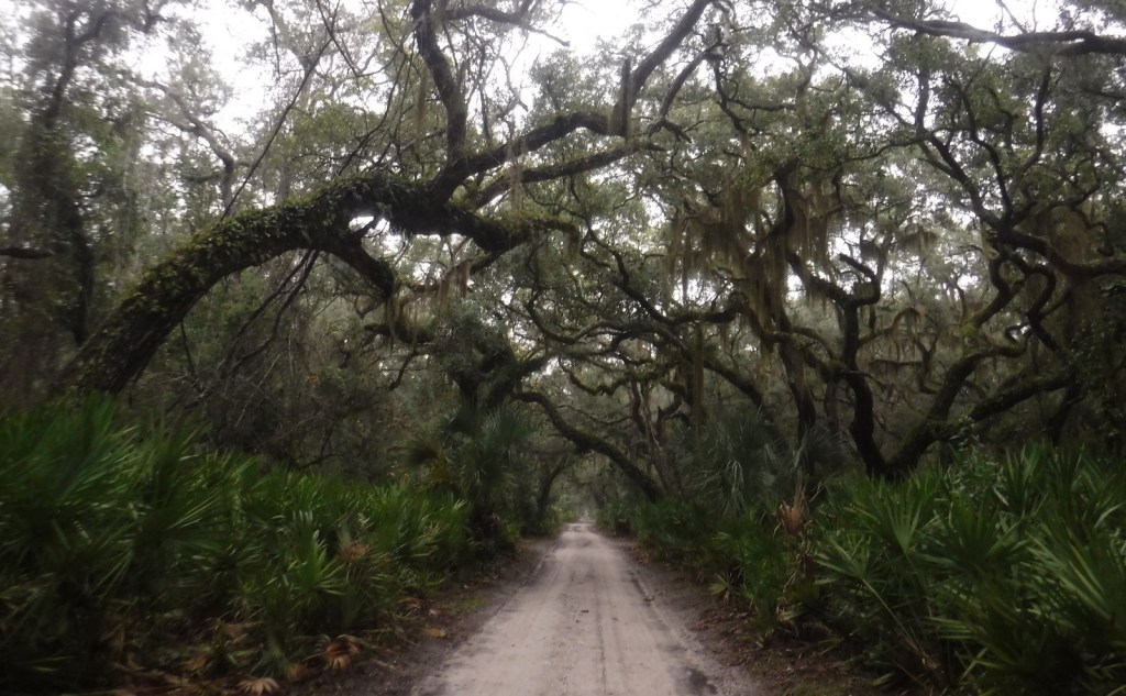
While it is fun to spend time beachcombing, what really sets Cumberland Island apart are the trails that cut through the maritime forest of twisty live oak trees. Watch for feral horses, white-tailed deer, armadillos, turkeys, and other birds along the way. Alligators can also be seen in the freshwater ponds. Fossilized shark teeth are commonly found on the island, especially on the roads. Guided tours in vans can be reserved, which can be a good option on rainy days or if you want to make it to the 1890s African-American settlement at the northern end of the island.
Best Trail
The island has more than 50 miles of trails and you can form loops of varying lengths by walking the beach and the inland Parallel Trail. The trails are very well packed though sandy, and not as hard to walk on as we imagined. The only deep sand we encountered was on the designated dune crossings between the beach and the inland forest.
Instagram-worthy Photo
Dungeness is the name of a mansion built by the Carnegie family that burned down in 1959. It was constructed atop the ruins of a house of the same name previously owned by Revolutionary War General Nathanael Greene.
$10 per person or America the Beautiful pass, plus the charges for ferry tickets and overnight campsites
Road Conditions
Roads are packed sand and heavily rutted, but unless you own property on the island or take the van tour you will not have to worry about their spine-rattling condition.
Camping
Reservations are required for all overnight stays, including at the privately-owned inn. Sea Camp offers cold showers and potable water a moderately short walk from the ferry dock. There are numerous backcountry campsites, but all camping is limited to seven days.
NPS visitor center on the mainland in St. Marys, Georgia
Ferry docked at Cumberland Island
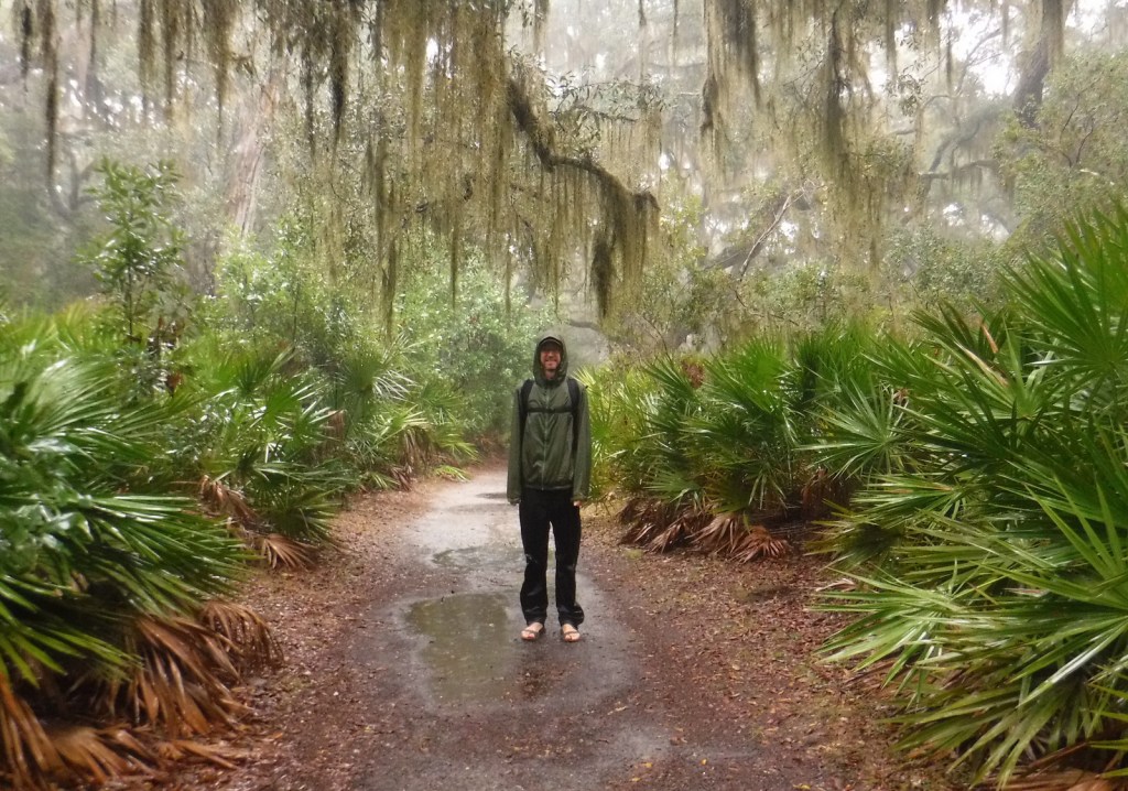
It was a rainy day under the Spanish moss
Feral horses
Armadillo
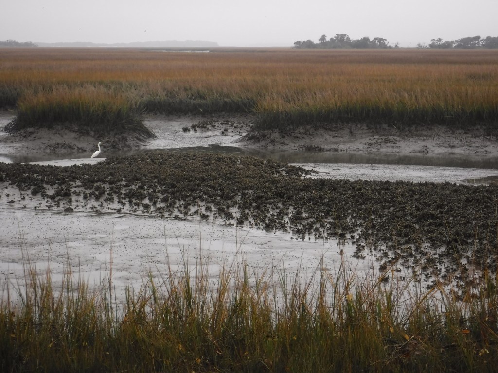
View from Marsh Boardwalk
Scott on boardwalk
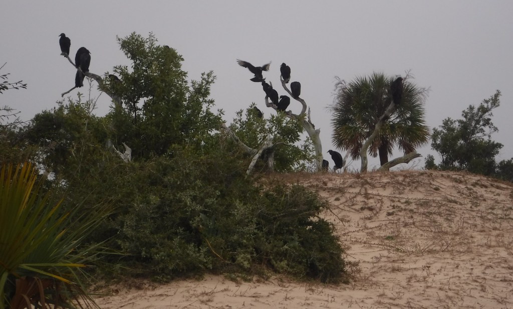
Black vultures
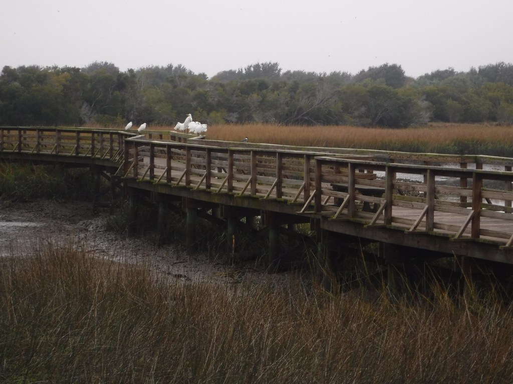
Egrets on Marsh Boardwalk
Live oak trees canopy the road
Explore More – Related to American Quarter Horses, Tennessee Walkers, Arabians, and Paso Fino, what is the total population of feral horses living on Cumberland Island?
On the tropical island of Maui, Haleakalā National Park is accessible by two memorable roads. One road climbs from sea level up to 10,023 feet overlooking Haleakalā Crater, which has almost no vegetation. To the east, a lush tropical rainforest thrives in the Kīpahulu District located at the end of the winding road to Hana. Both districts offer great hiking opportunities and free campgrounds. There is much more information about this park in our National Park guidebook, available on Amazon.
The thing to do at Haleakalā National Park is drive up the curvy entrance road in the pitch dark to catch a sunrise from 10,000 feet. Haleakalā translates to “the house of the sun” so it is kind of a big deal here. It is like a party atmosphere in the chilly air waiting for the guest of honor. Of course, we were up there one morning, though we thought the sunsets were prettier and much less crowded. Several tours drive visitors to the summit for sunrise then provide bicycles to coast back down the switchbacks outside the park boundaries.
Best Trail
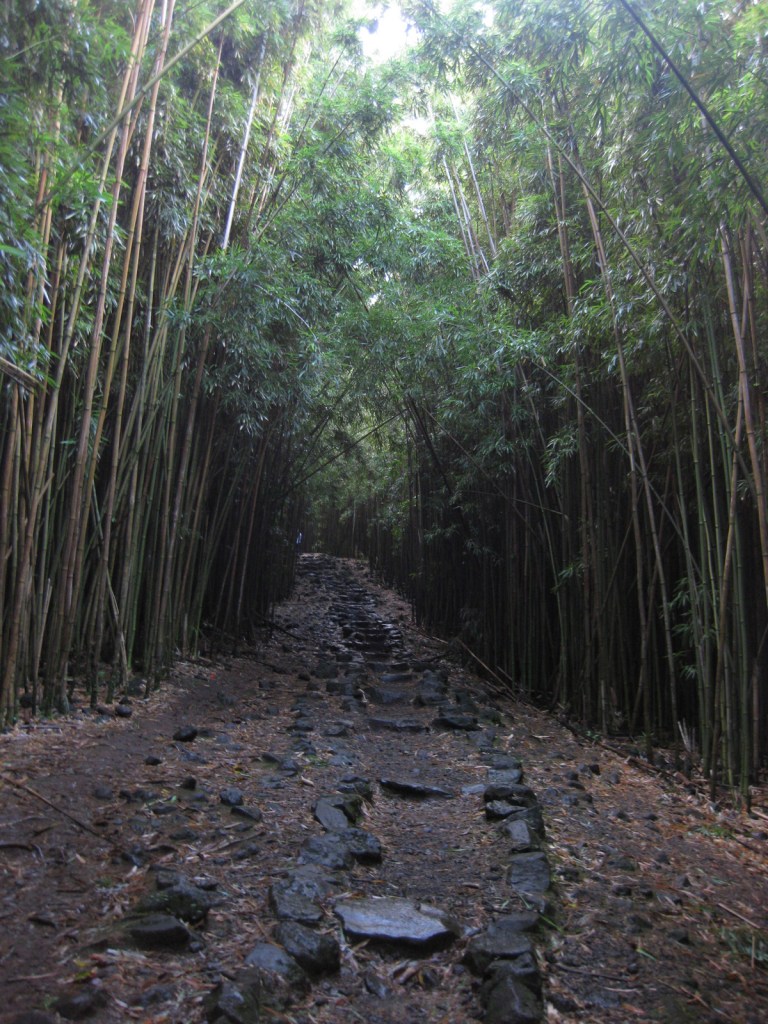
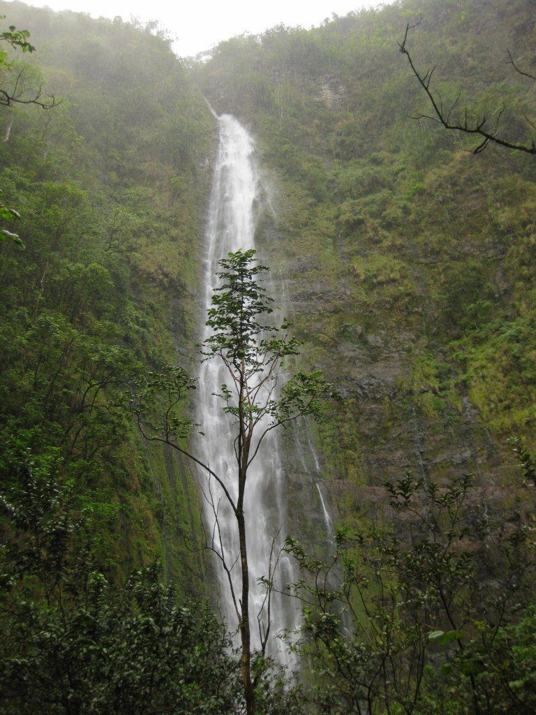
In the Kīpahulu District, we hiked the two-mile Pipiwai Trail to the 400 foot cascades of Waimoku Falls in a steady downpour. The trail offers some protection from rain under sprawling banyan trees and incredibly dense bamboo thickets. Like many of the plant and animal species found throughout Hawai‘i, the banyan and bamboo are not native to the islands, but have thrived on this isolated landmass 2,400 miles from the nearest continent.
Instagram-worthy Photo
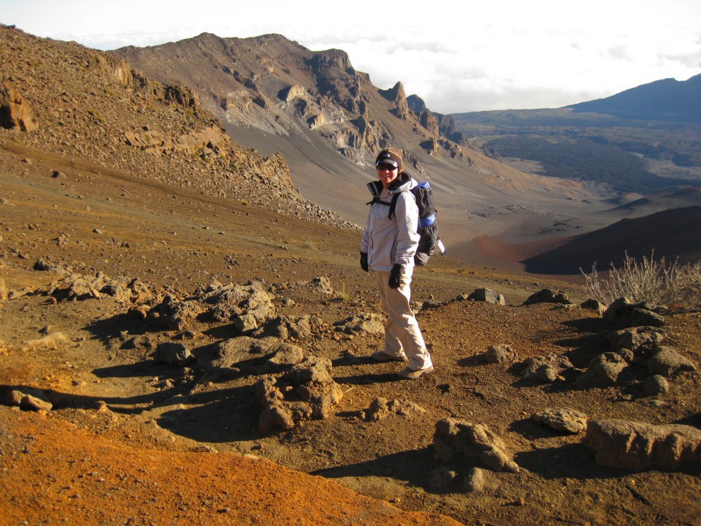
Silversword (‘ahinahina) plants grow all along the Sliding Sands Trail that accesses the bottom of the 2,000 foot deep crater.
Peak Season
Year round, though summer might be slightly warmer at 10,000 feet in elevation.
All roads are paved, but the road to the summit is full of switchbacks and bicyclists. The curvy road to Hana is well known for its one-lane bridges, of which we counted 53 before we reached the Kīpahulu District.
Camping
The two National Park Service campgrounds here are free, a big savings in a place that can be expensive to visit. There is a lottery for three hike-in cabins and permits available for wilderness backpacking campsites.
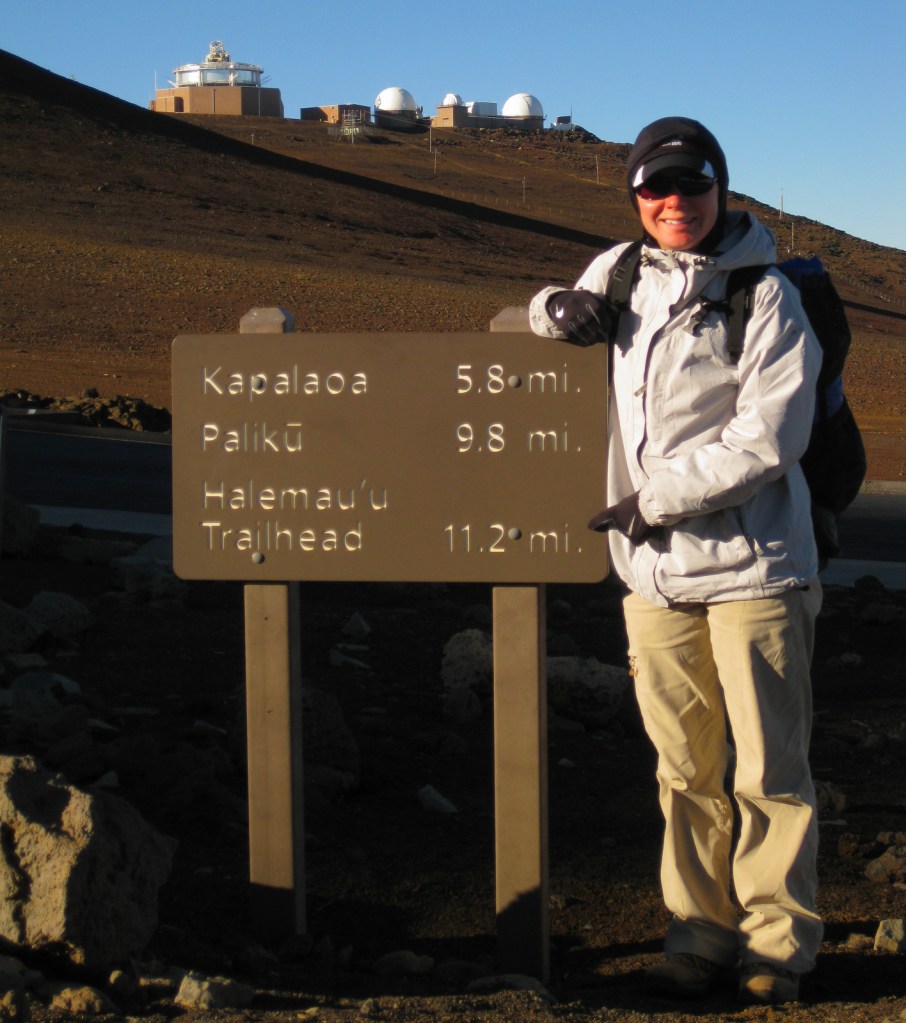
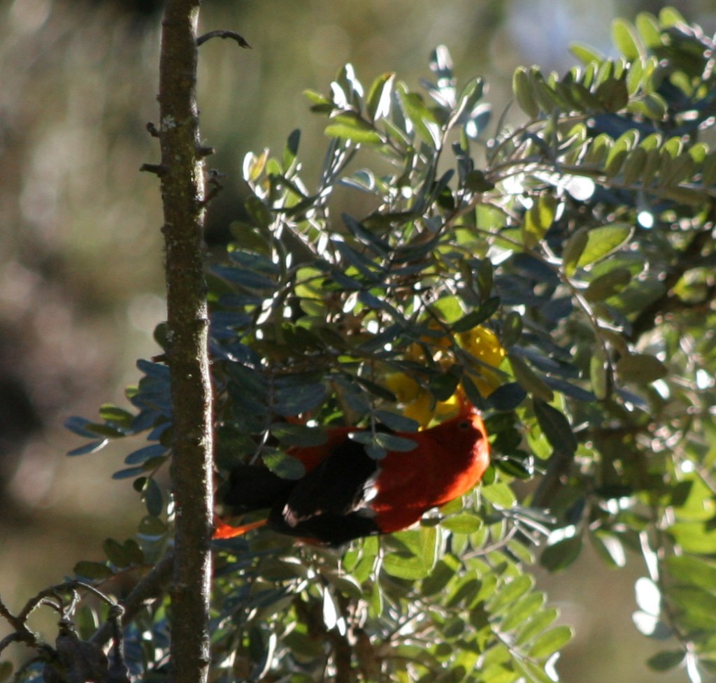
Haleakalā CraterSunsetSunriseTiff at the top of Sliding Sands TrailTiff on the Sliding Sands TrailTiff hiking in Haleakalā CraterLights of Maui from the summitView of the Pacific Ocean from the free campground in the Kīpahulu DistrictWaterfall in the Kīpahulu DistrictOn the Pipiwai Trail to Waimoku Falls400 foot cascades of Waimoku FallsA native bird, the bright red honeycreeper, or i’iwi
This design we created to celebrate Haleakalā National Park is available on a variety of products at Cafe Press.
Explore More – How much annual precipitation does the Kīpahulu District receive (making it one of the wettest places on Earth)?
We are a participant in the Amazon Services LLC Associates Program, an affiliate advertising program designed to provide a means for us to earn fees by linking to Amazon.com and affiliated sites.
Water dominates Voyageurs National Park on the border of Minnesota and Ontario, Canada. So much so that many of the land formations were never given names by the French fur traders (or “voyageurs”) that navigated these waters beginning in the late-1700s. It was a hard life, paddling large birch bark canoes full of supplies up to sixteen hours per day. Today the park is famous for its manmade destinations, including Kettle Falls Hotel, Hoist Bay Resort, and the unique sculptures at Ellsworth Rock Gardens.
Highlights
Kettle Falls, Ellsworth Rock Gardens, Hoist Bay Resort, Kab-Ash Trail
Must-Do Activity
Be sure to get out on the water via a ranger-led tour or take your own boat to one of the shoreline campsites inaccessible by car (permit required). Reservations can be made for the free ranger-guided North Canoe Voyage that lets passengers paddle a 26-foot canoe, just like the “voyageurs” of old. For more information, check out our National Park guidebook, A Park to Yourself: Finding Adventure in America’s National Parks (available on Amazon).
Best Trail
There are several short trails that lead from the visitor centers at Rainy Lake and Ash River, in addition to the 28-mile long Kab-Ash Trail that allows backpacking.
Instagram-worthy Photo
On Namakan Lake, you can explore the remains of Hoist Bay Resort, which was a logging camp before it became a vacation destination. It feels haunted in the evening, exploring the empty ruins while listening to the eerie calls of common loons.
The major access roads to NPS visitor centers are paved, plus in the winter there is a designated 7-mile ice road over Rainy Lake.
Camping
There are 214 boat-in campsites available first-come, first-served with a NPS permit (reservations available). There are several campgrounds located on the mainland just outside the park boundaries.
Explore More – When did the Virginia and Rainy Lake Lumber Company operate at Hoist Bay on Namakan Lake?
We are a participant in the Amazon Services LLC Associates Program, an affiliate advertising program designed to provide a means for us to earn fees by linking to Amazon.com and affiliated sites.
We wanted to demonstrate how our new guidebook (A Park to Yourself: Finding Adventure in America’s National Parks) is different from this website, so we are providing a sample chapter for Rocky Mountain National Park in Colorado. Here is a link to the Raven About The Parks blog post on the park.
The holidays are coming up, so order A Park to Yourself now on Amazon!
39. Rocky Mountain National Park
Colorado
265,795 acres
Established 1915
4,590,493 visitors in 2018
Overview
This truly is a National Park for
all seasons. In the summer, it is worth
the extra time it takes to drive 11 miles up the unpaved curves of one-way Old
Fall River Road to Alpine Visitor Center at 11,796 feet, then back down Trail
Ridge Road. Elk bulls spar and bugle in
the autumn, when aspen trees briefly turn the mountainsides gold. Winter is a wonderful time for outdoor
recreation here if you are prepared for the icy conditions, even on a short
1.6-mile trip up to Gem Lake just outside of Estes Park, Colorado.
Peak Visitation Months
July (20%) August (18%) June (16%)
September (15%)
Busiest Spots
Bear Lake Trailhead, Alluvial Fan,
Alpine Visitor Center, Longs Peak
Worth The Crowds
Bear Lake Trailhead is the busiest
area in the park. Its huge parking lot
fills up early year round, but a hiker shuttle is available during the
summer. While the trail starts above
9,000 feet elevation, it is only 1.1 miles with a steady ascent up to stunning
Dream Lake ringed by jagged peaks. From
there, you can continue on to Emerald Lake or take the long loop around to Lake
Haiyaha and Alberta Falls. Even in the
winter, these trails are generally packed enough that snowshoes are not
required.
A Park To Yourself
The western side of the park is
generally less busy throughout the year, but even less so in the winter when it
is cut off after Trail Ridge Road closes each October. Snowshoeing past Adams Falls up the East
Inlet valley is breathtaking when the snow sparkles in the sun and the river
gurgles deep under foot. There are
majestic mountain views once the forest opens up into a spectacular
meadow. Better yet, there is never a fee
required to park at the East Inlet or North Inlet Trailheads.
Iconic Photograph
Around Memorial Day each year, all
48 miles of Trail Ridge Road open to vehicles.
Its high point is at 12,183 feet, the highest elevation reached by a
fully-paved road in the United States.
For much of its length, jagged black mountaintops lined in pure white
snow surround the visitor on all sides.
Our favorite view is looking southwest towards the Gorge Lakes and Mount
Ida from the overlooks at Rock Cut or Forest Canyon parking areas.
Scott’s Favorite Trail
Starting at the small parking lot
at Poudre Lake, it is a steady climb five miles one-way to Mount Ida at 12,880
feet. After a mile, it is less a trail
and more following cairns along the Continental Divide. Needless to say, above timberline there are
first-class views of surrounding mountains.
Elk and bighorn sheep are commonly spotted on the route. From the top you look down on the colorful
Gorge Lakes and far across to Trail Ridge Road.
Tiff’s Favorite Trail
The Dunraven Trailhead is in
Roosevelt National Forest, northeast of Estes Park. From there a trail drops to the canyon bottom
then follows the North Fork of the Big Thompson River 4.4 miles before it
enters the National Park, and backpack camping is allowed without a permit
along this length. The views open up on
the Mummy Range before the trail ends around Lost Lake. You can continue to explore the other lakes
past there, but overnight stays in this area require a permit from the National
Park Service.
Bonus Winter Trail
In the winter months, the road off
Highway 7 to Wild Basin shuts down, but it is still plowed for those entering
on foot. Adding the two mile road length
to any hiking distance makes it about eight miles roundtrip to Calypso
Cascades, which continues to flow beneath the snow and ice. Snowshoes are recommended as this trail sees
much less use than those around Bear Lake.
Camping
There are multiple campgrounds
within the park, but only Glacier Basin is open year round. Several National Forests surround the park
and provide opportunities for dispersed camping, although near Grand Lake it
does get crowded during the summer.
Backpacking
Backpacking permits are required and
designated sites are reservable, including on the Continental Divide National
Scenic Trail. You must still pay the
National Park entry fee, but there is no additional charge to get a permit to
park at the Bowen/Baker Trailhead and camp in the Never Summer Wilderness
outside the park boundaries.
Getting Around
Most of the park roads are paved and
the two-mile long dirt road to Wild Basin Trailhead is well-maintained. A hiker shuttle operates from Beaver Meadows
Visitor Center in the summer. Old Fall
River Road typically does not open until July, but this 11-mile long one-way
dirt road makes a great loop when connected with Trail Ridge Road (open late-May
to October).
Nearby Public Lands
There are no National Park Service
units near this park, but it does border Arapaho National Recreation Area on
the west side. If you are flying in or
out of Denver International Airport, a short detour from Interstate 70 takes
you to Rocky Mountain Arsenal National Wildlife Refuge, which contains bison,
white-tailed deer, pronghorns, prairie dogs, and other animals.
Insider Tip
Estes Park is the gateway town to
the eastern portion of the park. There
are often elk grazing in its neighborhoods and golf courses. While there, we recommend the ghost tour of
the Stanley Hotel, which inspired Stephen King’s The Shining.
Wildlife
In the summer, most of the elk
herds head to high elevation, but other times of year they walk through the
town of Estes Park and congregate near the eastern entrance stations. Rock Cut is a great spot to watch the spastic
wanderings of yellow-bellied marmots and American pikas. Mule deer are found throughout the park, but
moose are more common on the west side.
We commonly see bighorn sheep on Highway 34 through Big Thompson Canyon,
but have never spotted one within the park, even at Sheep Lakes where they come
to lick salt.
Journal Entry
March 2013
We never thought we would have an entire National Park campground to ourselves, but that is exactly what we found at Timber Creek one beautiful March weekend. The ranger could not recall the last campers they had stayed there and it took some work to excavate a site from almost three feet of snow, but it was worth it. Sitting around the campfire that night, the silence was palpable until abruptly pierced by the eerie cries of coyotes that echoed up the valley. Snow camping is not for the faint of heart, but with proper planning we were well prepared for the 15°F temperatures that met us in the morning. On a clear day, the winter scenery in the Rocky Mountains is unsurpassed.
We are a participant in the Amazon Services LLC Associates Program, an affiliate advertising program designed to provide a means for us to earn fees by linking to Amazon.com and affiliated sites.
Start your U.S. National Parks, National Forests, and National Monuments adventure here!