Vanderbilt Mansion National Historic Site
New York
Managed by National Park Service
Established 1940
211 acres
Website: nps.gov/vama
Overview
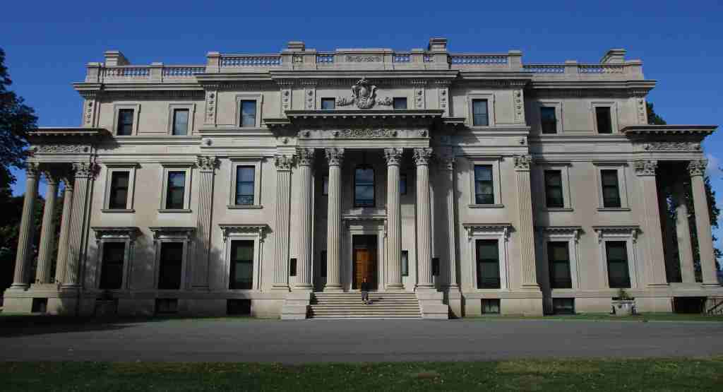
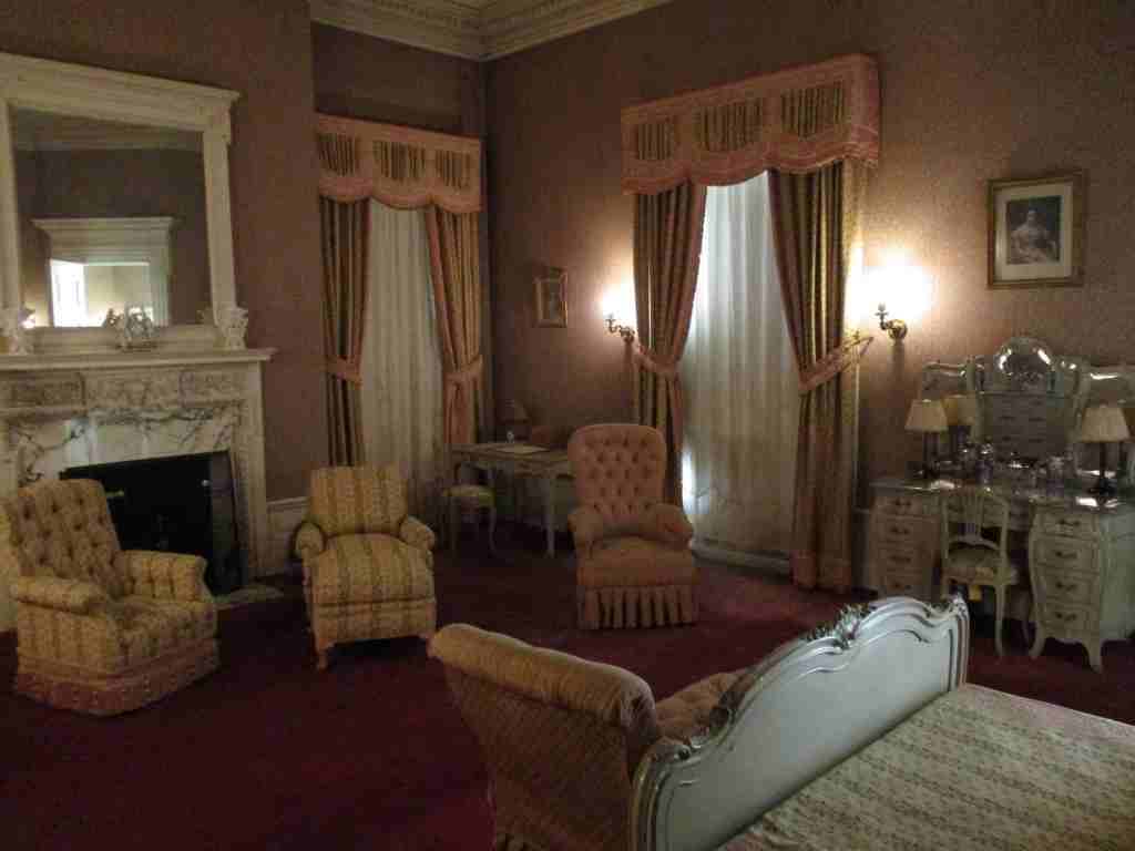
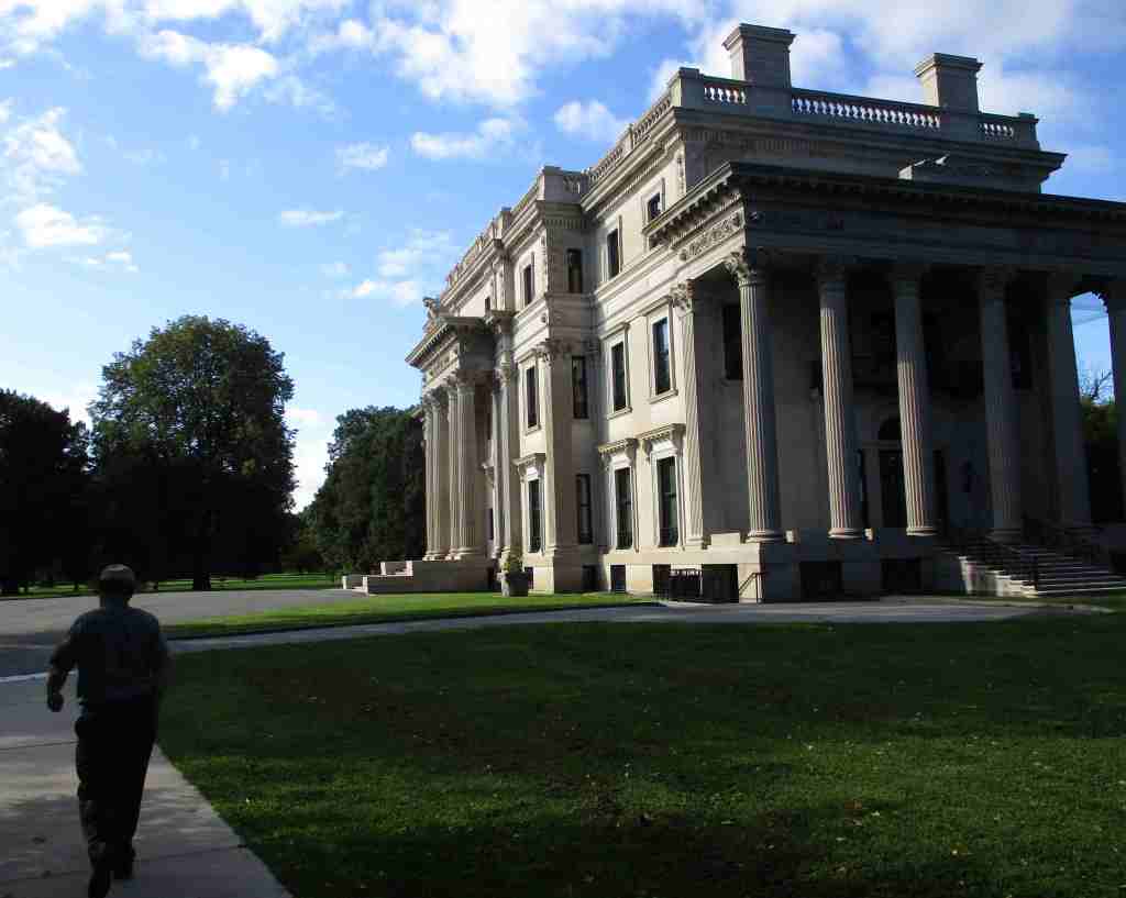
The Gilded Age is the term referring to the period from the Civil War to the end of the century, a time of growth in industry and immigration. Gilding is the process of putting a thin layer of gold on an object to improve its appearance and was used as a slight to the nouveau riche families that built lavish mansions and threw extravagant parties. Shipping and railroad tycoon Cornelius Vanderbilt’s grandson Frederick purchased this 600-acre Hyde Park estate in 1895. He and his wife Louise had the mansion there torn down and it took nearly four years to complete their 54-room mansion ornamented in beaux arts style. It was the first in the area to have electricity, which was supplied by its own hydroelectric plant. It was inhabited by the family only in the spring and fall with as many as 60 staff needed to run the place. When Louise’s niece could not sell the property during the Great Depression, her neighbor President Franklin D. Roosevelt suggested she donate it to the National Park Service.

Highlights
Mansion, Pavilion, Formal Gardens, Hyde Park Trail
Must-Do Activity
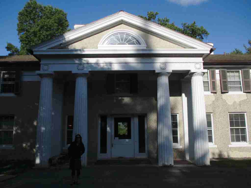
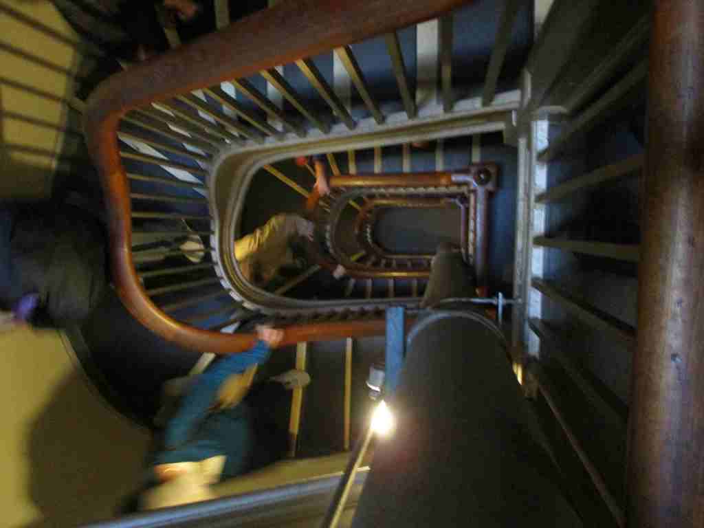
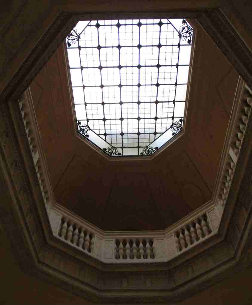
The only way inside the mansion is on a one-hour guided tour that does not take reservations. They can be purchased at the visitor center inside The Pavilion, a guest house built in 66 days in 1895. The grounds are free to explore, where you can walk on the carriage roads, picnic at the overlook, and peruse the Italian gardens. The mansion was designed by the leading architectural firm McKim, Mead & White, known for their emphasis on high classicism. It features a large living room, grand staircase, and semicircular portico overlooking the Hudson River and Catskill Mountains. The house cost $660,000 at the time, while the interior furnishings pushed the total cost to $2.3-million (equivalent to about $90-million today) since many of the decorations were purchased in Europe.
Best Trail
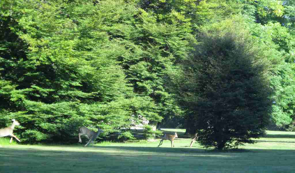
Vanderbilt Service Road Trail loops through this 211-acre site and Bard Rock Road Trail splits off to a point on the Hudson River. Hyde Park Trail follows the river south to connect with the Home of Franklin D. Roosevelt National Historic Site and Eleanor Roosevelt National Historic Site.
Photographic Opportunity
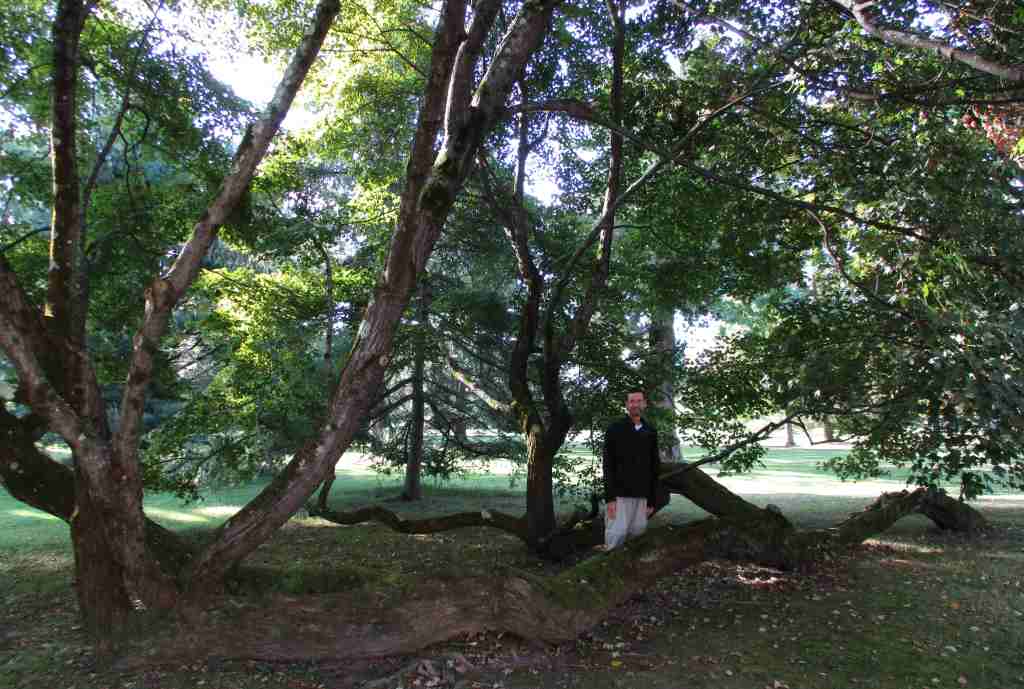
The landscape design (and a ginkgo tree) on the property dates back to the 1700s, while its current look was restored to its 1930s appearance.

Peak Season
Summer
Hours
https://nps.gov/vama/planyourvisit/hours.htm
Fees
$15 per person for the mansion tour or use the annual America the Beautiful pass
Road Conditions
Parking and access roads are paved from the Albany Post Road (Highway 9).
Camping
Mills-Norrie State Park is located 3.5 miles north on Highway 9 and has a campground offering running water and hot showers.
Related Sites
Home of Franklin D. Roosevelt National Historic Site (New York)
Eleanor Roosevelt National Historic Site (New York)
Martin Van Buren National Historic Site (New York)
Nearest National Park


Explore More – Who were the authors who coined the term “Gilded Age” in their 1873 book?