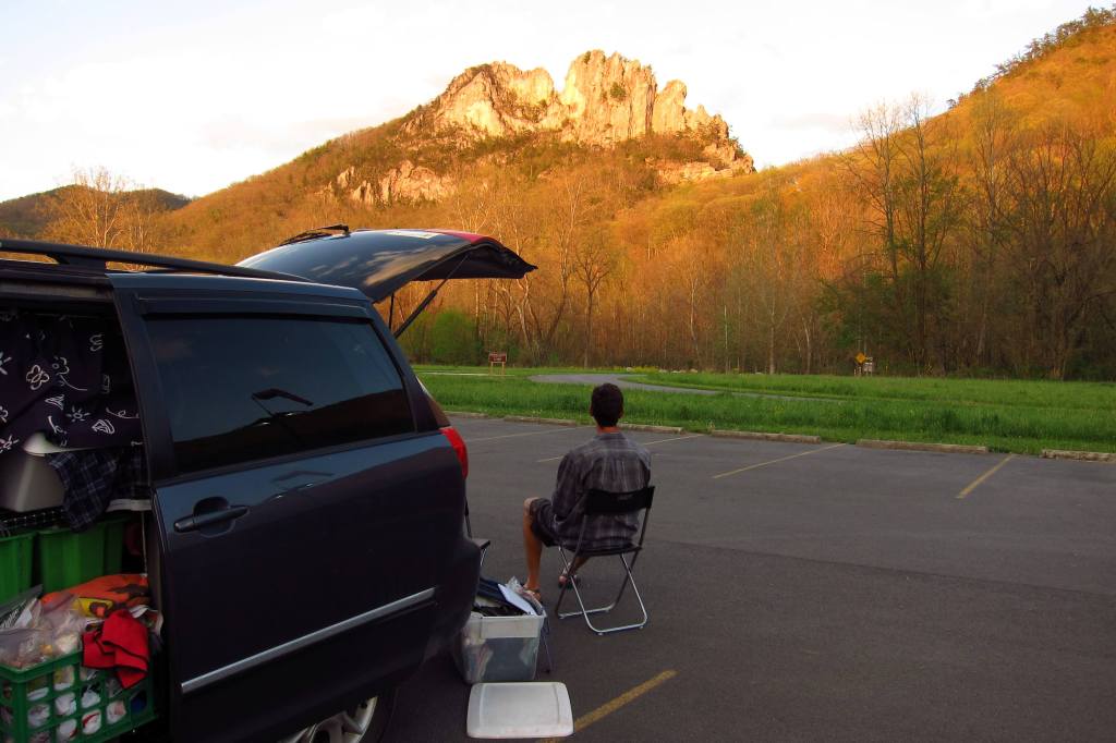
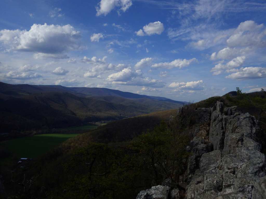
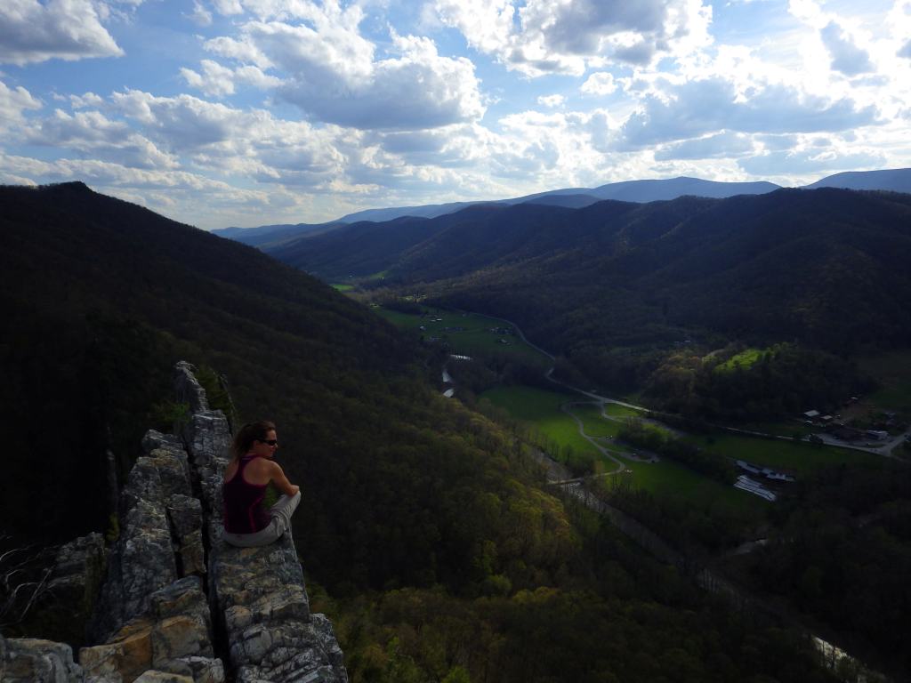
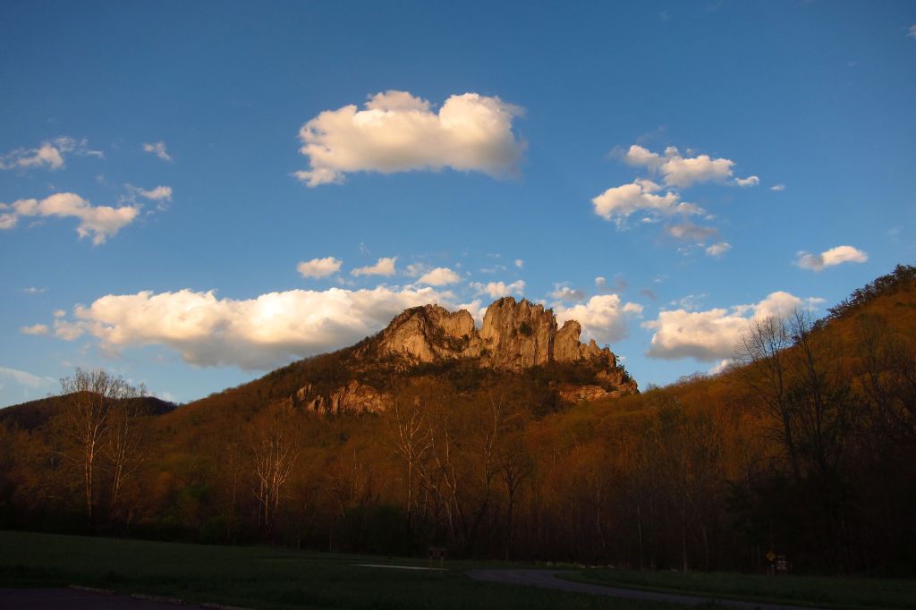
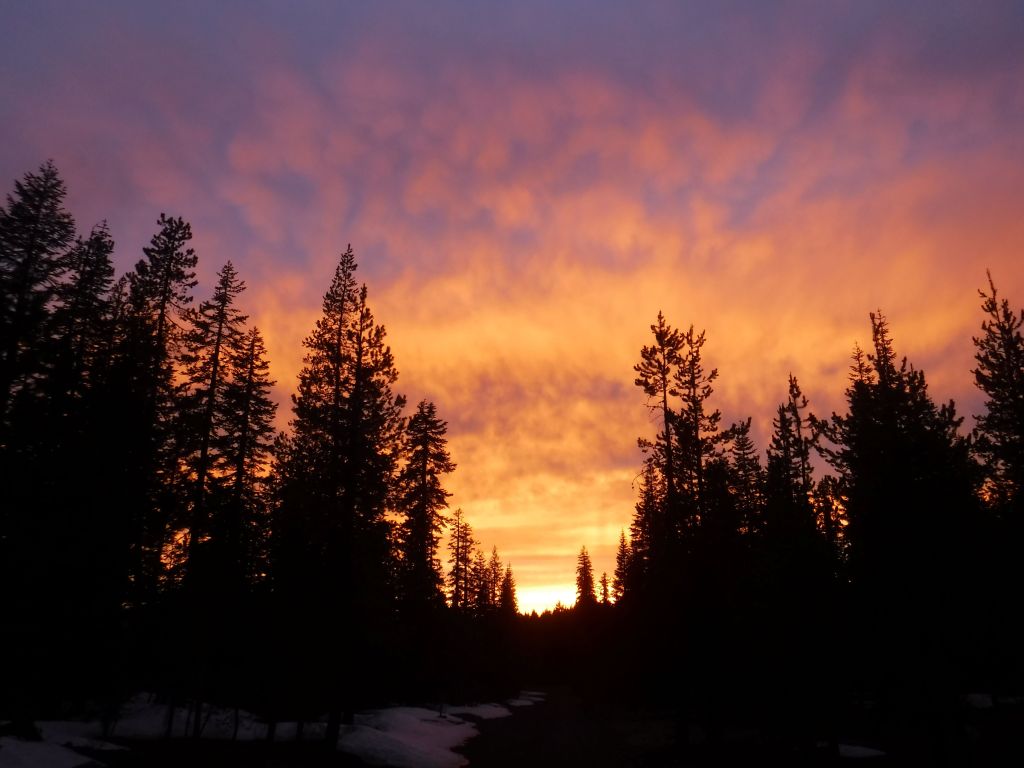
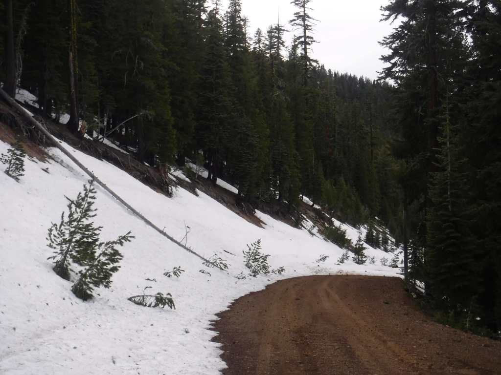
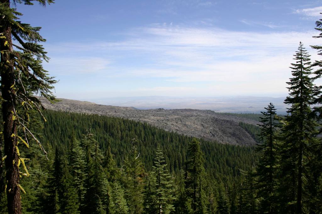
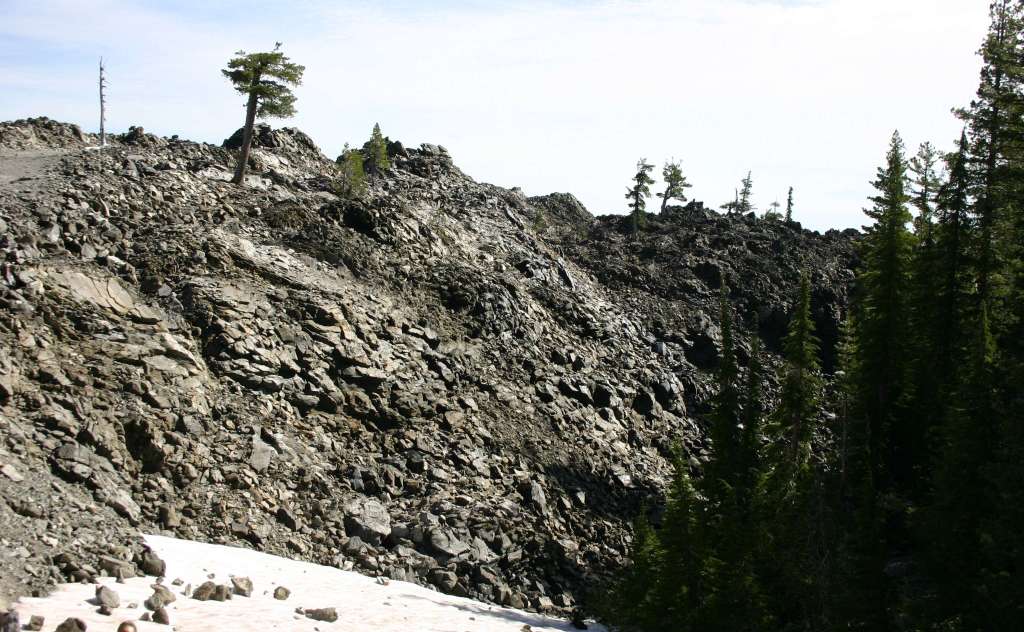
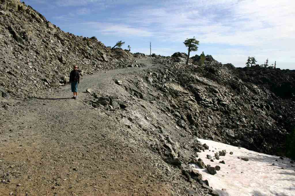
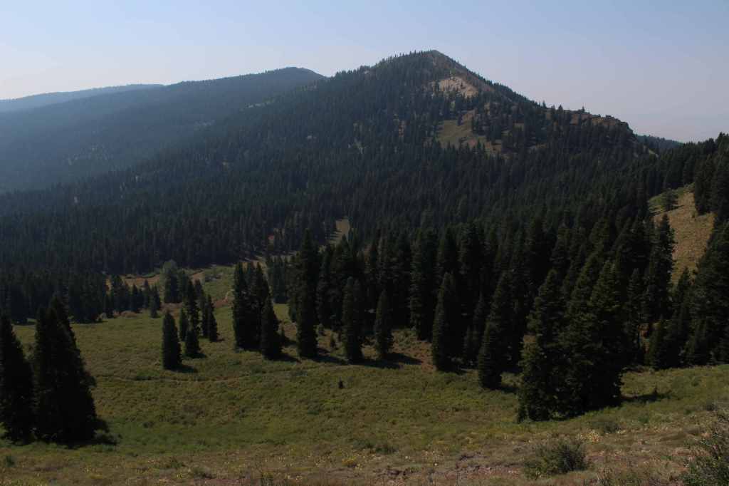
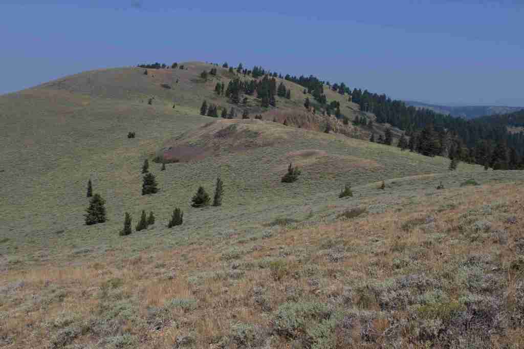
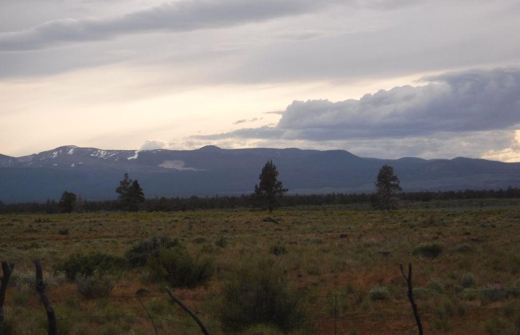
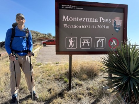
I am about to head back out to finish the northernmost 100 miles of the Arizona National Scenic Trail (follow along live), so it seemed like a good time for this list. As is often the case when I start ranking the top 10 books in any given category, I thought to myself that I have not read enough books in the backpacking genre to really leave any off the list. And again, as usual, I remembered ones that I had forgotten and started making hard decisions about what got shifted to the Honorable Mentions. There are so many first-person narratives about hiking long trails in the U.S. that I have not really scratched the surface here. I hope you are inspired to pick up one of them, just as I was to recently read Heather Anderson’s Thirst: 2600 Miles to Home after reading reviews. The next backpacking book on my to read list is Carrot Quinn’s Thru-Hiking Will Break Your Heart: An Adventure on the Pacific Crest Trail. Click here to see all the Top 10 Lists.
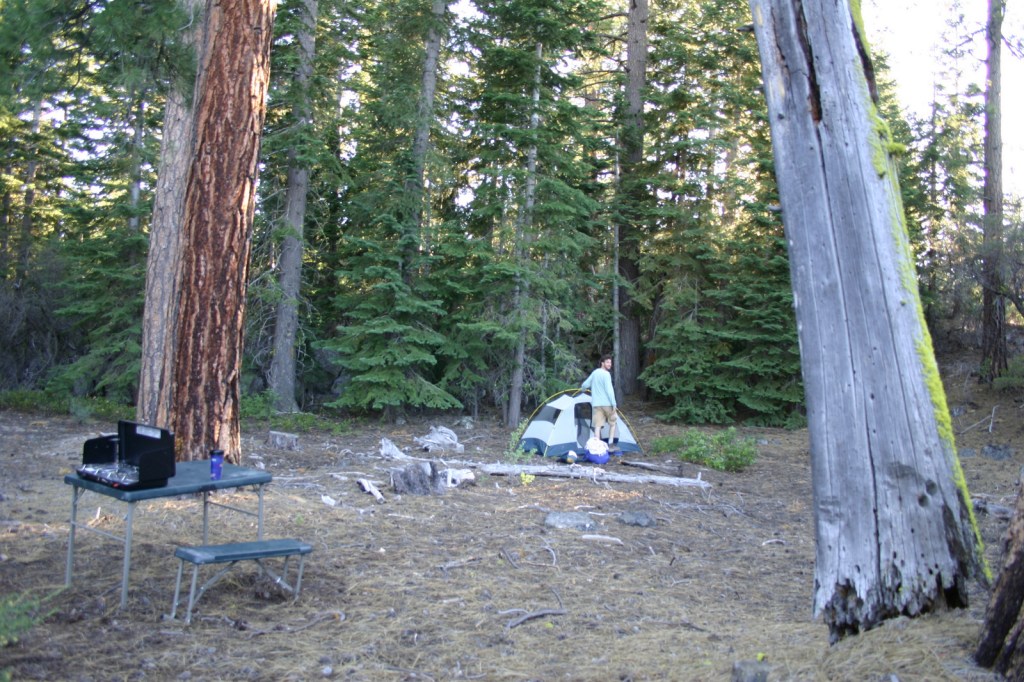
If you or someone you love are interested in hiking or backpacking in the 155 National Forests, our travel guidebook Out in the Woods makes a great gift!
10. Wild: From Lost to Found on the Pacific Crest Trail by Cheryl Strayed (2012)
The most famous book about the Pacific Crest National Scenic Trail can be heartbreaking to read, but it is better than the movie version.

9. Northland: A 4,000-Mile Journey along America’s Forgotten Border by Porter Fox (2018)
The northern U.S. border with Canada is the subject of this autobiography that involves traveling by canoe, freighter, car, and foot.
8. A Walk in the Park: The True Story of a Spectacular Misadventure in the Grand Canyon by Kevin Fedarko (2024)
Mostly a series of off-trail misadventures and a what-not-to-do guide set in Grand Canyon National Park by the author of The Emerald Mile (#2 on the Top 10 Non-Fiction Books Set in a National Park).

7. The Sun Is a Compass: A 4,000-Mile Journey into the Alaskan Wilds by Caroline Van Hemert (2019)
A well-written account of a biologist and her husband’s epic journey by rowboat, ski, foot, raft, and canoe.
6. Grandma Gatewood’s Walk: The Inspiring Story of the Woman Who Saved the Appalachian Trail by Ben Montgomery (2014)
A fun biography of the woman who popularized thru-hiking the Appalachian National Scenic Trail (and was an Honorable Mention for the Top 10 Non-Fiction Books on National Forests)
5. How to Be Alone: an 800-mile hike on the Arizona Trail by Nicole Antoinette (2023)
I read this autobiography before my own trip in the opposite direction on the Arizona National Scenic Trail where I spent the great majority of my hours walking alone.
4. The Pursuit of Endurance: Harnessing the Record-Breaking Power of Strength and Resilience by Jennifer Pharr Davis (2018)
At a library event in Wyoming, I got to meet this author and one-time record holder for the Fastest Known Time (FKT) on the Appalachian National Scenic Trail.
3. Thirst: 2600 Miles to Home by Heather Anderson (2019)
An engrossing narrative of chasing the FKT for the Pacific Crest National Scenic Trail in 2013, she also wrote Mud, Rocks, Blazes: Letting Go on the Appalachian Trail (2021) and Farther: Eight Months on America’s Triple Crown Trails (2026).
2. A Walk in the Woods: Rediscovering America on the Appalachian Trail by Bill Bryson (1998)
This funny tale of the Appalachian National Scenic Trail was an Honorable Mention on the Top 10 Non-Fiction Books Set in a National Park list (which is by far my most popular Top 10 List).
…and finally the #1 backpacking book:
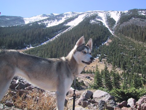
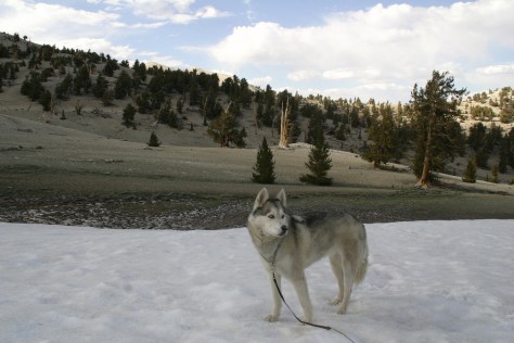
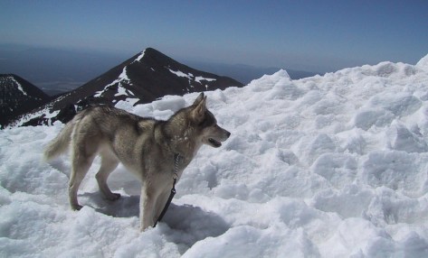
1. A Walk Across America by Peter Jenkins (1979)
This is the book that inspired that part of Forrest Gump where he walks on roads for years. I was blown away when I read this as a teenager and I think it had a big impact on me (I even hiked with a Siberian husky like the author).
.
Honorable Mentions
You Are Here by David Nicholls (2024)
This book does not fit this list at all because it is the only one that is fiction and it is set in England, but I have not identified with a protagonist this much in decades.
Freedom by Sebastian Junger (2021)
All 400 miles walked on the railroad lines of the east coast during the 2020 pandemic were breaking trespassing laws, which gives this narrative an added sense of danger.
On Trails: An Exploration by Robert Moor (2016)
A reflection on trails of all kinds by a man who thru-hiked the Appalachian National Scenic Trail was an Honorable Mention for the Top 10 Non-Fiction Books on National Forests.
The Last Season by Eric Blehm (2006)
A well-researched investigation into the disappearance of a National Park Ranger in the rugged backcountry of California’s Sierra Nevadas also placed on the Top 10 Non-Fiction Books Set in a National Park list.
A Long Trek Home: 4,000 Miles by Boot, Raft, and Ski by Erin McKittrick (2009)
An Honorable Mention for the Top 10 Non-Fiction Books Set in Alaska, most of this amazing journey was spent paddling on water, not walking under the weight of a pack raft.

Know someone who loves National Parks? Gift them our travel guidebook A Park to Yourself: Finding Solitude in America’s 63 National Parks.