Tag Archives: State Park

Lewis and Clark National Historical Park

Overview

In the wake of the Louisiana Purchase in 1803, President Thomas Jefferson was anxious to know what he had just bought from France and find out if it provided an easy route to the Pacific Ocean.  He tapped his secretary Captain Meriwether Lewis as leader of the Corps of Discovery, who in turn named his former colleague Captain William Clark co-commander.  Lewis and Clark National Historical Park celebrates the wet winter of 1805-06 that the expedition spent on the coast of Oregon at the mouth of the Columbia River.

Highlights

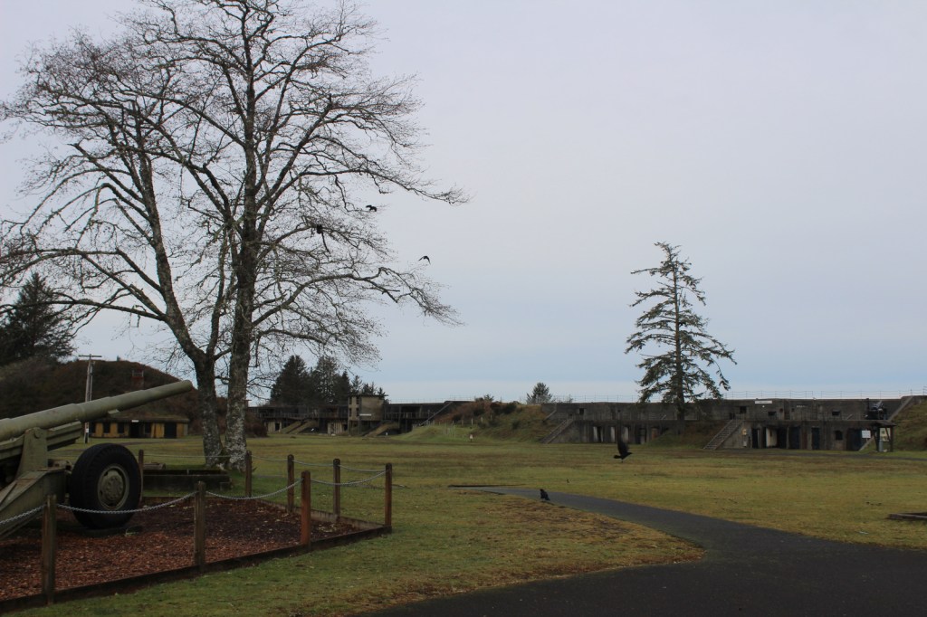
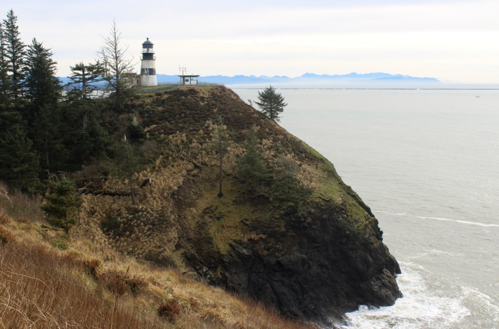
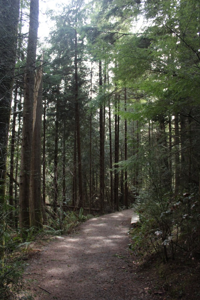
Fort Clatsop, Fort to Sea Trail, Cape Disappointment State Park, Fort Stevens State Park

Must-Do Activity

The park is spread across multiple sites, including scenic Cape Disappointment State Park in Washington, plus Fort Clatsop and Fort Stevens State Park in Oregon.  Fort Clatsop was named a National Memorial in 1958 and still serves as the primary National Park Service (NPS) visitor center with exhibits and a film.  Other points of interest include the spot Sacagawea visited to see a beached whale and the salt works where seawater was boiled to produce the necessary commodity for the return trip.

Best Trail

When the Corps of Discovery finally saw the Pacific Ocean on November 7, 1805, Clark journaled, “Ocian in view! O! the joy.”  You can follow in their footsteps by starting at Fort Clatsop then hiking the 6.5-mile one-way Fort to Sea Trail, which marks the terminus of the 4,900-mile long Lewis and Clark National Historic Trail (which is mostly a driving route).

Instagram-worthy Photo

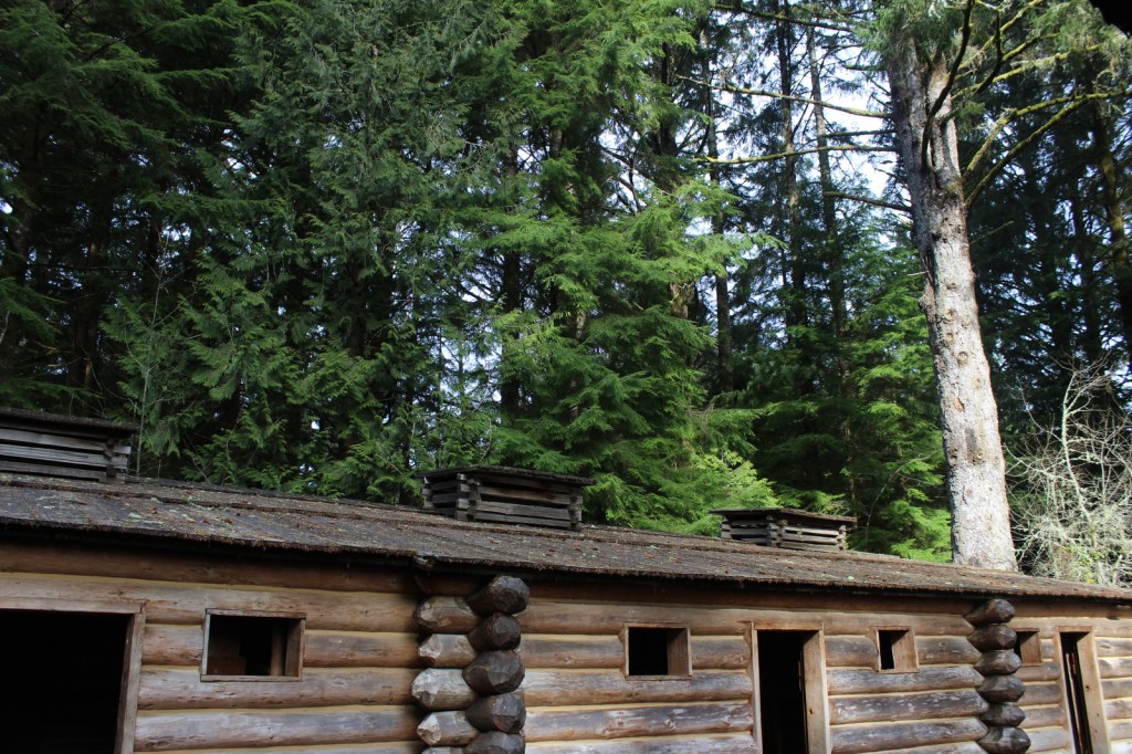
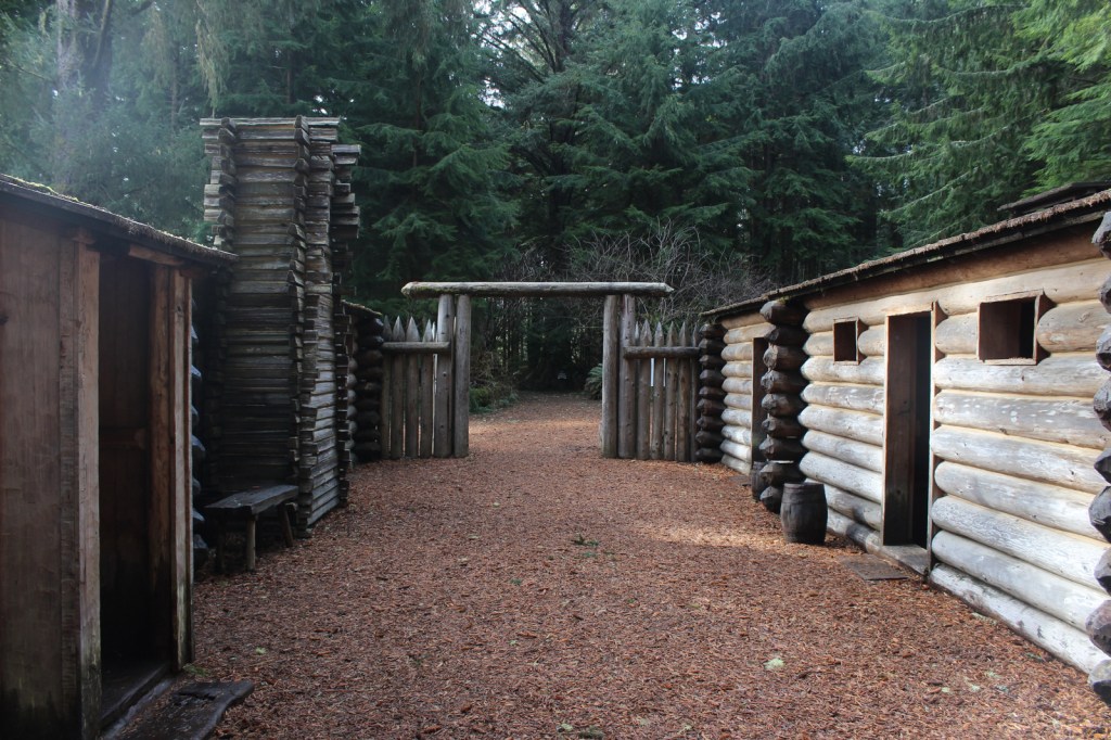
Fort Clatsop is a well-made replica of the small structure where Lewis and Clark spent the winter of 1805-06 and inside you will find rustic furniture similar to that built in 1805.

Peak Season

Summer for costumed demonstrations, though a winter visit would be more historically accurate.

Hours

https://www.nps.gov/lewi/planyourvisit/hours.htm

Fees

$10 per person to visit Fort Clatsop (or America the Beautiful pass) and each State Park has a separate entry fee

Road Conditions

Access roads are paved

Camping

Fort Stevens State Park on the Oregon coast has hundreds of campsites for tents and RVs, and there is also camping available at Cape Disappointment State Park in Washington.

Related Sites

Knife River Indian Villages National Historic Site (North Dakota)

Nez Perce National Historical Park (Idaho-Oregon-Washington)

Missouri National Recreation River (Nebraska-South Dakota)

Explore More – Where did the Corps of Discovery spend the winter prior to Fort Clatsop and first meet Sacagawea?

We are a participant in the Amazon Services LLC Associates Program, an affiliate advertising program designed to provide a means for us to earn fees by linking to Amazon.com and affiliated sites.

Harriet Tubman Underground Railroad National Historical Park

Overview

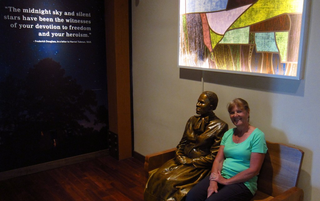
This relatively undeveloped section of Maryland’s Eastern Shore might still be recognizable to Harriet Tubman, who was born here as Araminta “Minty” Ross in 1822.  After her own solo escape to Philadelphia using the Underground Railroad network in 1849, she returned thirteen times to conduct approximately 70 people north, as well as to provide detailed instructions that enabled another 70 to find freedom.  During the Civil War, Tubman served as a Union spy and became the first woman to lead an armed U.S. military assault.

Highlights

Museum, Blackwater National Wildlife Refuge, Bucktown Village Store

Must-Do Activity

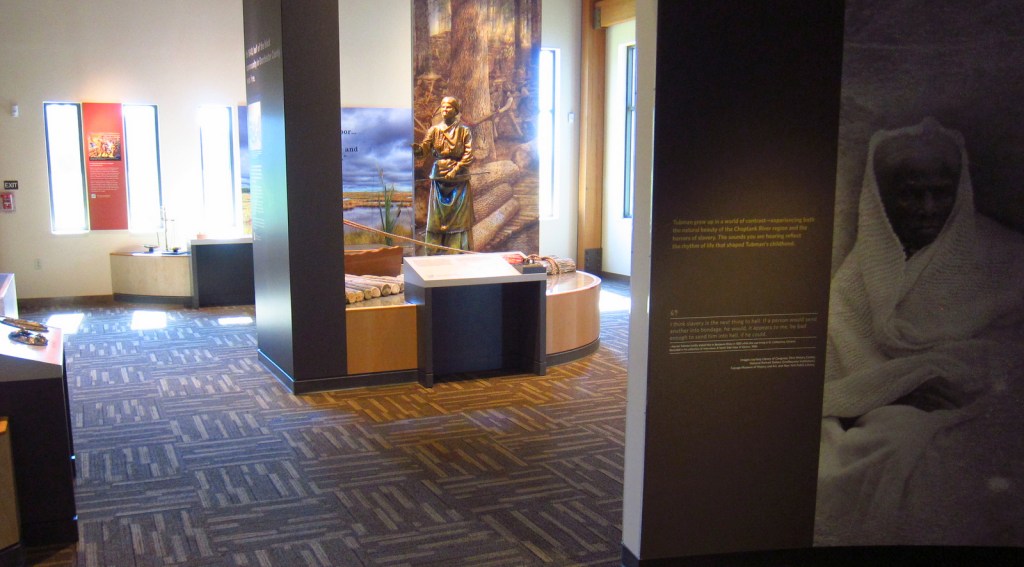
Harriet Tubman lived a hard life, as described in the exhibits at Harriet Tubman Underground Railroad State Park (museum opened in March 2017), managed in association with the National Park Service.  Pick up a map at the museum, then make as many stops as you wish along the 125-mile long Harriet Tubman Underground Railroad Byway, which offers a free downloadable audio guide.  You will definitely be inspired by the story of this brave conductor on the Underground Railroad.

Best Trail

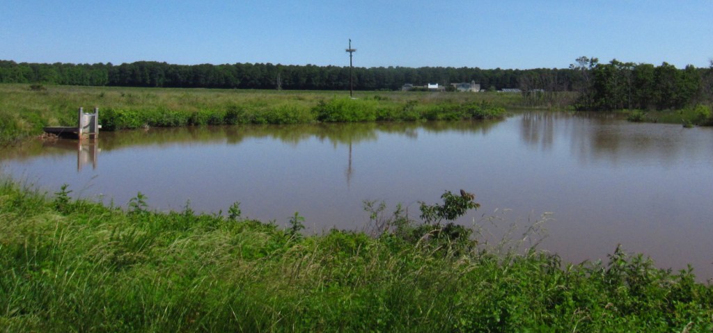
Near the museum at Harriet Tubman Underground Railroad State Park, 28,000-acre Blackwater National Wildlife Refuge is a great place to see ospreys and overwintering birds. The Key Wallace loop trail is 2.7 miles long.

Instagram-worthy Photo

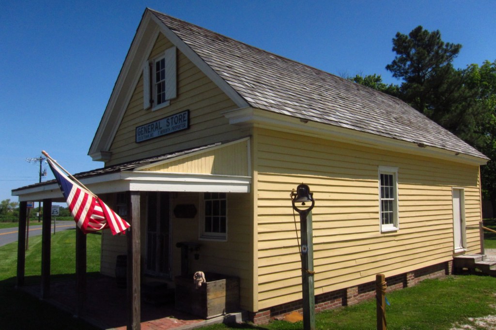
Bucktown Village Store has been restored to its 1800s appearance and is open to visitors.  Harriet Tubman accomplished amazing feats despite suffering seizures throughout her life from a skull fracture suffered at the Bucktown Village Store during her youth (see the photo below for the full story). 

Peak Season

Summer

Hours

https://www.nps.gov/hatu/planyourvisit/hours.htm

Fees

None, except at Blackwater National Wildlife Refuge, which is only $3 per vehicle and accepts America the Beautiful passes.

Road Conditions

All major roads are paved on the 125-mile long Harriet Tubman Underground Railroad Byway and the driving route is well-maintained through Blackwater National Wildlife Refuge. 

Camping

There are developed campgrounds at the northern end of Assateague Island National Seashore on Maryland’s Atlantic Coast.

Related Sites

Frederick Douglass National Historic Site (District of Columbia)

Assateague Island National Seashore (Maryland-Virginia)

First State National Historical Park (Delaware)

Explore More – Before it became a National Historical Park, when was Harriet Tubman Underground Railroad National Monument established?

Poverty Point National Monument

Overview

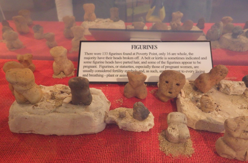
Mound builders historically settled near major rivers, especially the Ohio and Mississippi, because the floodplains provided fertile soil for farming.  However, Poverty Point was settled 3,700 years ago by hunter-gatherers so efficient they did not need agriculture to provide leisure time.  They built a city with a population estimated at 1,500 along Bayou Macon in northeast Louisiana. 

Highlights

72-foot-tall Mound A, film, tram tour

Must-Do Activity

A guided tram ride with a State Park ranger is included in your admission fee, which in addition to the film shown in the State Park visitor center is the best way to learn about this site.  The tram tour does not stop to allow visitors to climb Mound A, so you will have to return in your own vehicle.

Best Trail

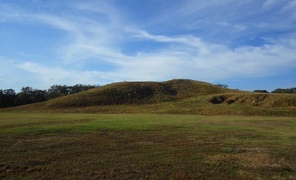
A stairway leads to the top of Mound A, the most impressive mound at 72 feet tall in the shape of a bird with a 70-foot-wide base.  It required approximately 15-million basket loads of soil to complete.  They had no wheelbarrows or domesticated animals for assistance, so each basket was carried by hand to form the largest manmade structure in North America at the time.  No wonder this site was chosen in 2014 as a UNESCO World Heritage Site.

Instagram-worthy Photo

The inhabitants constructed other mounds and built their houses atop concentric rings in a semi-circle D-shape facing towards Bayou Macon.  This pattern is best seen from atop Mound A.

Peak Season

The tram tour operates March through October.

Hours

https://www.nps.gov/popo/planyourvisit/hours.htm

Fees

$4 per adult for general admission or $10 for the tram tour, and America the Beautiful passes are no longer accepted.

Road Conditions

All roads paved

Camping

There are private campgrounds nearby or 40 miles away is Chemin-A-Haut State Park.

Related Sites

Hopewell Culture National Historical Park (Ohio)

Ocmulgee Mounds National Historical Park (Georgia)

Effigy Mounds National Monument (Iowa)

Nearest National Park

Hot Springs

Explore More – Why will you not find any National Park Service logos at this National Monument?