Tag Archives: State Park

Boston Harbor Islands National Recreation Area

Overview

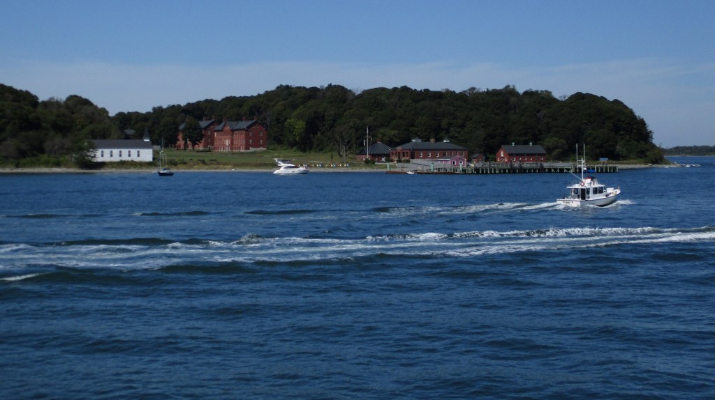
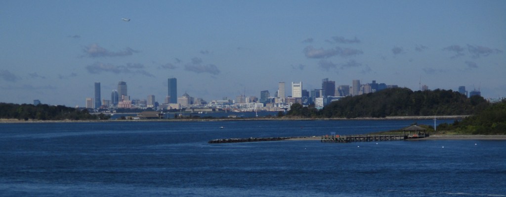
Established in 1996, there are 34 separate sites encompassed within Boston Harbor Islands National Recreation Area.  Not all of the areas are islands, some, like Worlds End, are the tips of peninsulas with roads accessing them from the suburbs of Boston, Massachusetts.  The park is a managed by a hodgepodge of agencies, including the U.S. Coast Guard’s Boston Light on Little Brewster Island (open to ranger-led tours in the summer months).

Highlights

Worlds End, Governors Island, Webb Memorial State Park, Spectacle Island

Must-Do Activity

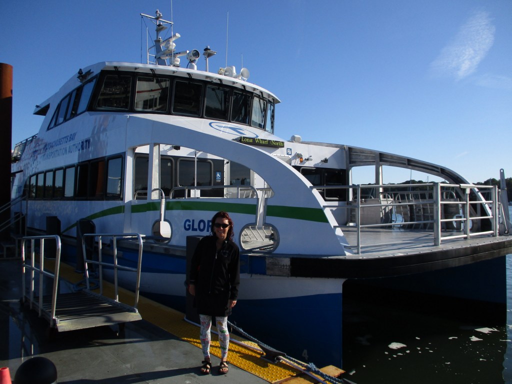
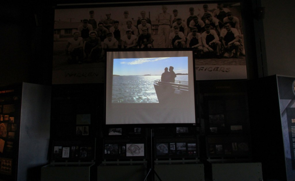
It is probably best to pick one island and thoroughly explore it by catching a ferry from Long Wharf North in downtown Boston, Hingham Shipyard, or Pemberton Point in Hull.  We chose Georges Island which is mostly taken up by Fort Warren, which dates back to 1850.  During the Civil War, the fort served as an artillery base and a prison.  The National Park Service (NPS) operates an excellent museum on the island and shows a film on its history.  Georges and Spectacle Islands are the only two islands that offer food for sale, plus they have water taxis leave from each dock to access many of the other islands.

Best Trail

Spectacle Island has five miles of hiking trails and also contains the highest point within Boston Harbor Islands National Recreation Area at 157 feet in elevation.

Instagram-worthy Photo

The site of the first lighthouse in America, Boston Light on Little Brewster Island can be seen from Georges Island and is open to guided tours in the summer.

Peak Season

Summer

Hours

https://www.nps.gov/boha/planyourvisit/basicinfo.htm

Fees

Passengers ferries charge fares, but there is not an entrance fee to the islands or Webb Memorial State Park.

Road Conditions

Most of the islands do not allow private vehicles, but you can bring your bicycle onto the ferries.  Webb Memorial State Park, Deer Island, Worlds End, and Nut Island are accessible by paved roads in the Boston area.

Camping

There are yurts on Peddocks Island and tent camping is allowed on Bumpkin, Grape, Peddocks, and Lovells Islands from late June through Labor Day.  Backcountry permits are required for stays on undeveloped islands.

Related Sites

Boston National Historical Park (Massachusetts)

Cape Cod National Seashore (Massachusetts)

Gateway National Recreation Area (New York-New Jersey)

Explore More – During the Civil War, who wrote the lyrics to “John Brown’s Body” while serving at Fort Warren?

Fort Davis National Historic Site

Overview

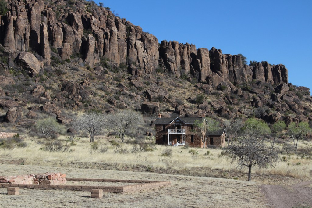
The base of the Davis Mountains is the wonderfully scenic setting for Fort Davis National Historic Site, originally active from 1854 to 1891.  It was manned by U.S. troops except after Texas seceded during the Civil War, which is ironic given that it was named for Jefferson Davis.  Confederate forces obviously saw this as enough reason to occupy the remote frontier fort for a year.  The park preserves its 1867 layout, when the fort was rebuilt following five years of abandonment.

Highlights

Museum, film, historic buildings, Davis Mountains State Park

Must-Do Activity

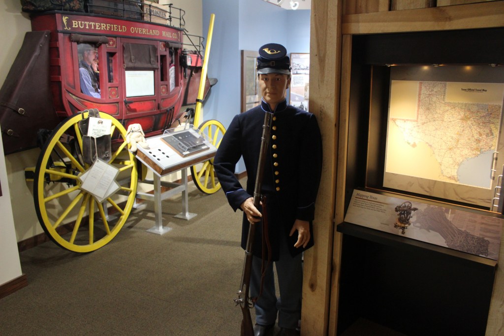
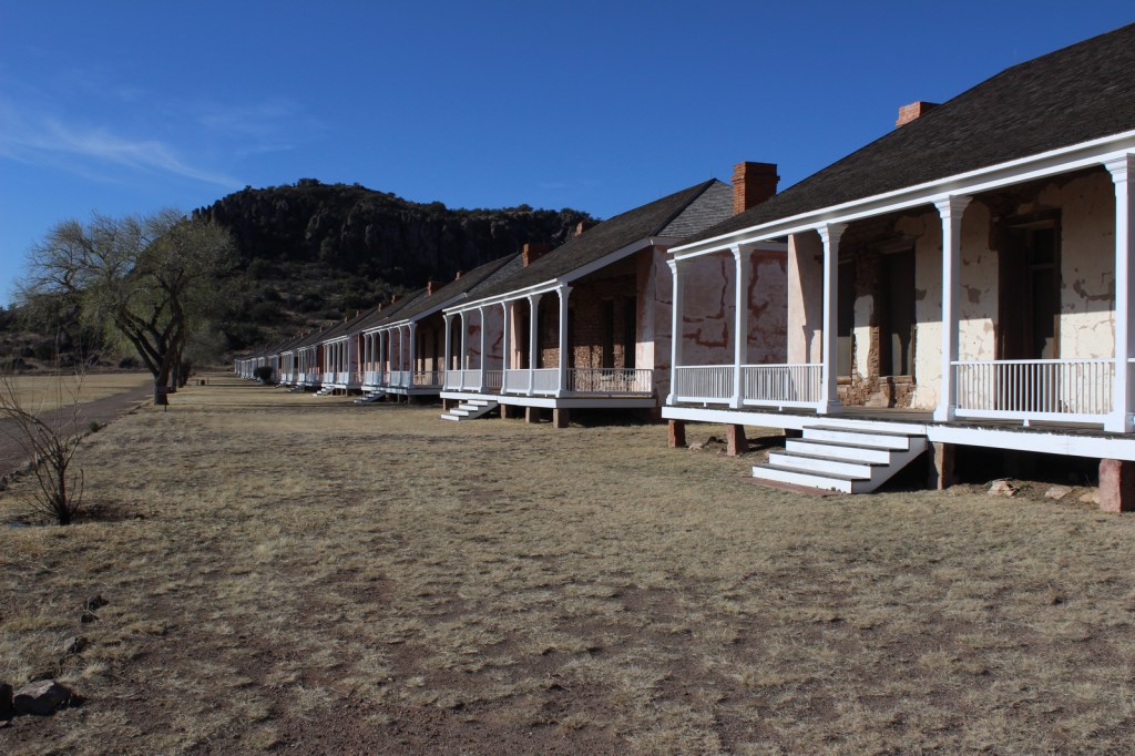
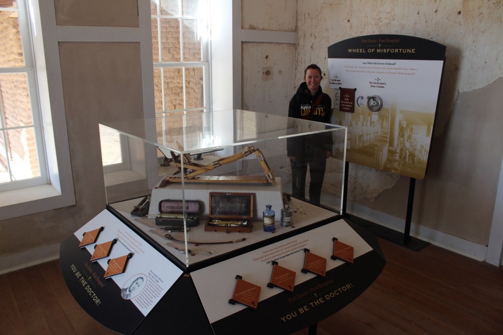
After the Civil War, Fort Davis became famous for posting African-American “Buffalo Soldiers.”  Maybe this is why they chose to cast 7-foot-2-inch tall Kareem Abdul-Jabbar as the cowboy hat-wearing narrator of the park’s introductory film.  That in-and-of-itself is worth the price of admission.  The dry Chihuahuan Desert air has preserved the 21 remaining buildings well.  Throughout the day, bugle calls on the loudspeaker will hearken you back to frontier days. 

Best Trail

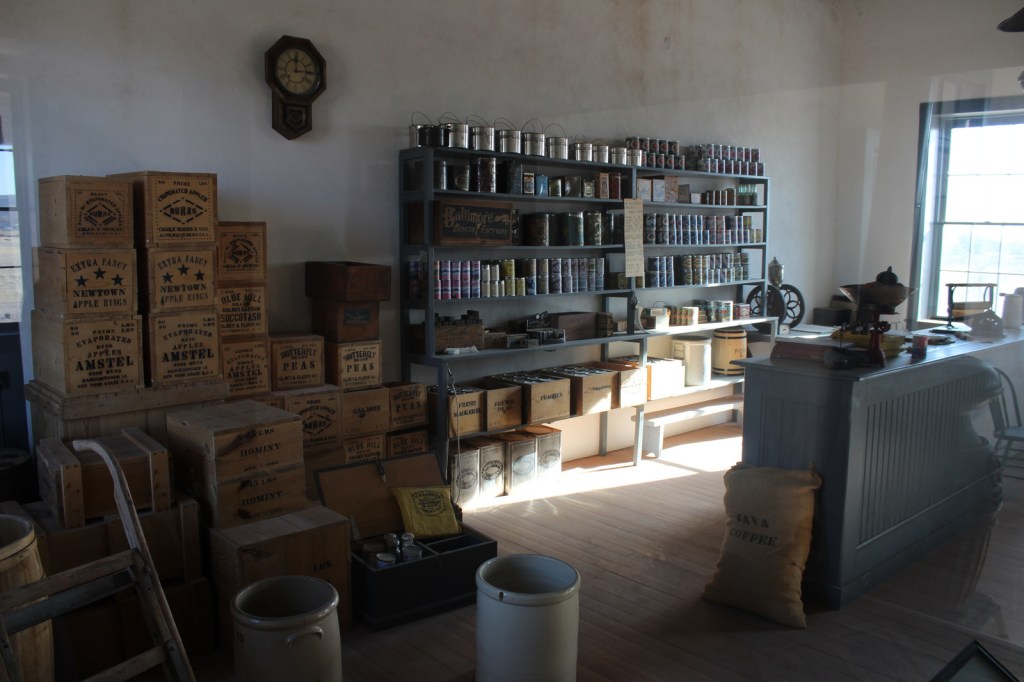
A self-guided trail leads around the 523-acre property and enters six buildings: the commanding officer’s quarters, lieutenants’ quarters, barracks, commissary, hospital, and officers’ servants’ quarters.  There are other trails here and in neighboring Davis Mountains State Park, but be aware that the fort sits at 4,900 feet of elevation.

Instagram-worthy Photo

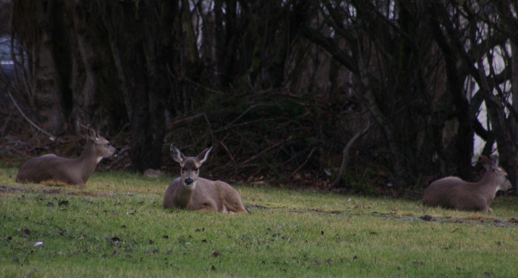
The morning we visited, mule deer were feeding on the lawn in front of the restored buildings.

Peak Season

Summer

Hours

https://www.nps.gov/foda/planyourvisit/hours.htm

Fees

$10 per person or America the Beautiful pass

Road Conditions

Access roads paved

Camping

If you enjoy spending time at this beautiful spot, consider camping in adjacent Davis Mountains State Park, which offers good stargazing.

Related Sites

Guadalupe Mountains National Park (Texas)

Carlsbad Caverns National Park (New Mexico)

Big Bend National Park (Texas)

Explore More – Who was the first black graduate of West Point military academy briefly stationed here (before a controversial court-martial later overturned in 1976)?

Muir Woods National Monument

Overview

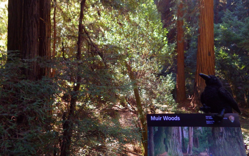
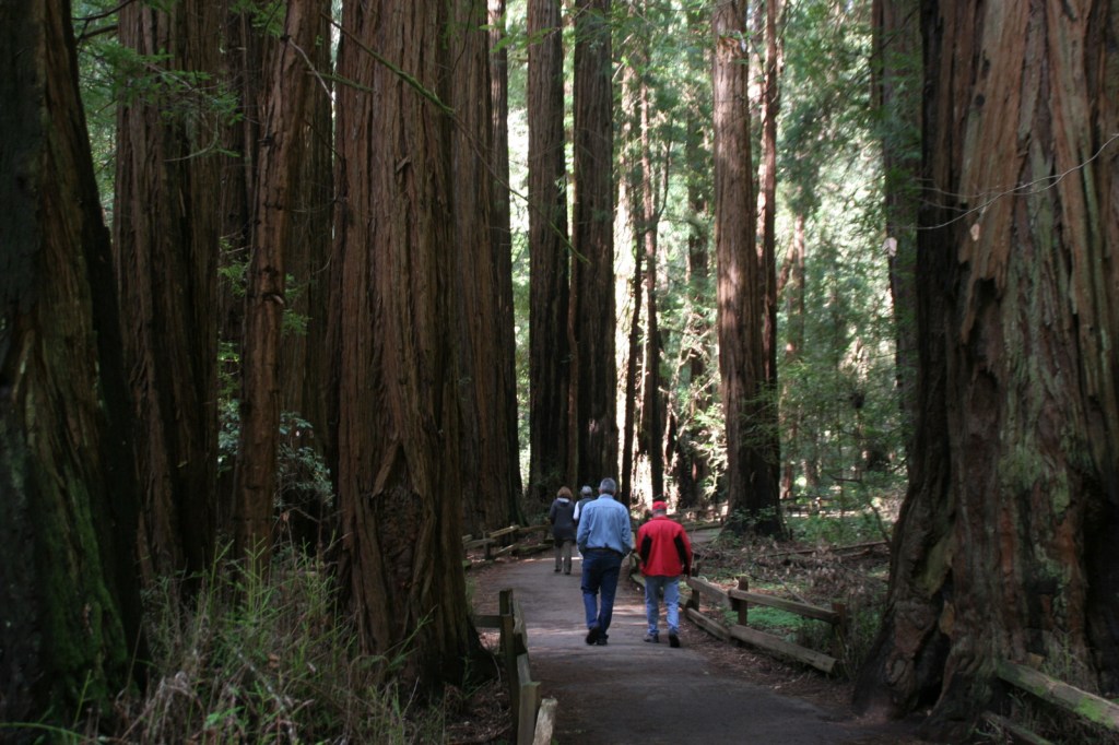
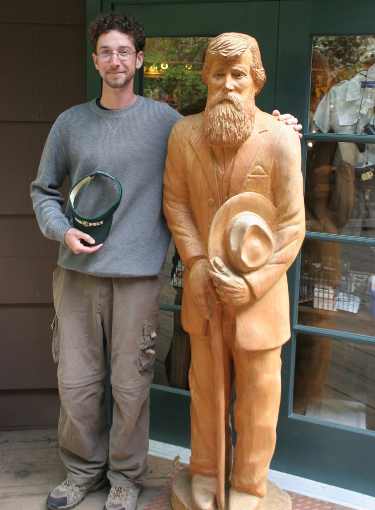
Named for passionate preservationist and Bay Area resident John Muir, this old-growth forest of coast redwood trees is a world away from the bustle of the city.  Originally established in 1908, the National Monument is administered by the National Park Service (NPS) as part of Golden Gate National Recreation Area.  It is located just south of Point Reyes National Seashore and here you can also access the coastline at nearby Muir Beach.

Highlights

Coast redwood trees, Redwood Creek Trail, Canopy View Trail, Muir Beach

Must-Do Activity

North of the Golden Gate Bridge, the San Francisco sprawl gives way to a rugged and idyllic landscape.  The twisty drive over the coastal mountains to 554-acre Muir Woods National Monument is part of the adventure.  There is a café and gift shop, plus the NPS operates a small bookstore, but not a museum at the site.  This small park receives an average of one-million visitors per year, so expect the trails to be crowded on weekends and sunny days.

Best Trail

There are only six miles of trails in the National Monument, but they connect with the extensive system in surrounding Mount Tamalpais State Park.  It is often foggy and always shady beneath these massive trees, so it is best to dress in layers.

Instagram-worthy Photo

The coast redwoods growing here are more than 250 feet tall, so hike up the aptly named Canopy View Trail to get a birds-eye view.

Peak Season

Summer

Hours

https://www.nps.gov/muwo/planyourvisit/hours.htm

Fees

$15 per person or America the Beautiful pass

Road Conditions

The winding access road is steep and narrow, so RVs over 35 feet in length are prohibited.

Camping

There are walk-in tent campsites at Mount Tamalpais State Park and backcountry campsites (permit required) at Point Reyes National Seashore.

Related Sites

John Muir National Historic Site (California)

Redwood National and State Parks (California)

Golden Gate National Recreation Area (California)

Explore More – Coast redwood is the tallest species in the world, requiring coastal fog to stay hydrated; how far inland do the trees naturally occur?

Ebey’s Landing National Historical Reserve

Overview

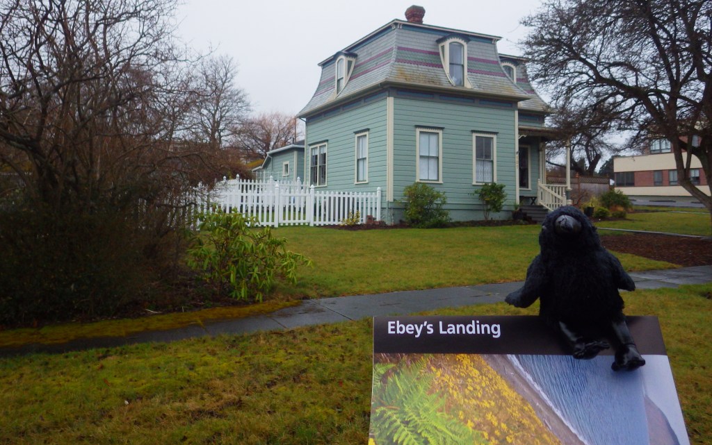
As the only National Historical Reserve in the National Park Service (NPS) system, Ebey’s Landing is a unique 17,000-acre site under federal, state, county, town, and private ownership.  Located on Whidbey Island at the entrance to Puget Sound, it is accessible by ferry from the Seattle area and the Olympic Peninsula, or by driving Highway 20 across a bridge from the north (closer to Bellingham).  There are nearly one hundred historical structures protected by the reserve, mostly Victorian houses within Coupeville, Washington.

Highlights

Jacob Ebey House, Davis Blockhouse, Fort Ebey State Park, Fort Casey State Park

Must-Do Activity

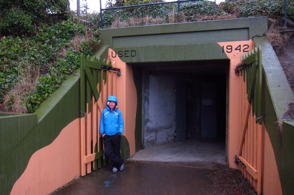
A good place to start your visit is at the Island County Historical Museum (which charges an admission fee) in Coupeville, Washington.  After enjoying the Victorian architecture in town, drive to the Jacob Ebey House, World War II-era Fort Ebey State Park, and Fort Casey State Park where you will find gun emplacements from 1901 and picturesque Admiralty Head Lighthouse. 

Best Trail

Much of Whidbey Island was prairie when it was settled in the 1850s, and remains pastoral, which is great for travelers looking for a glimpse back in time.  Located adjacent to farm fields, Bluff Trail is known for its great views on clear days.

Instagram-worthy Photo

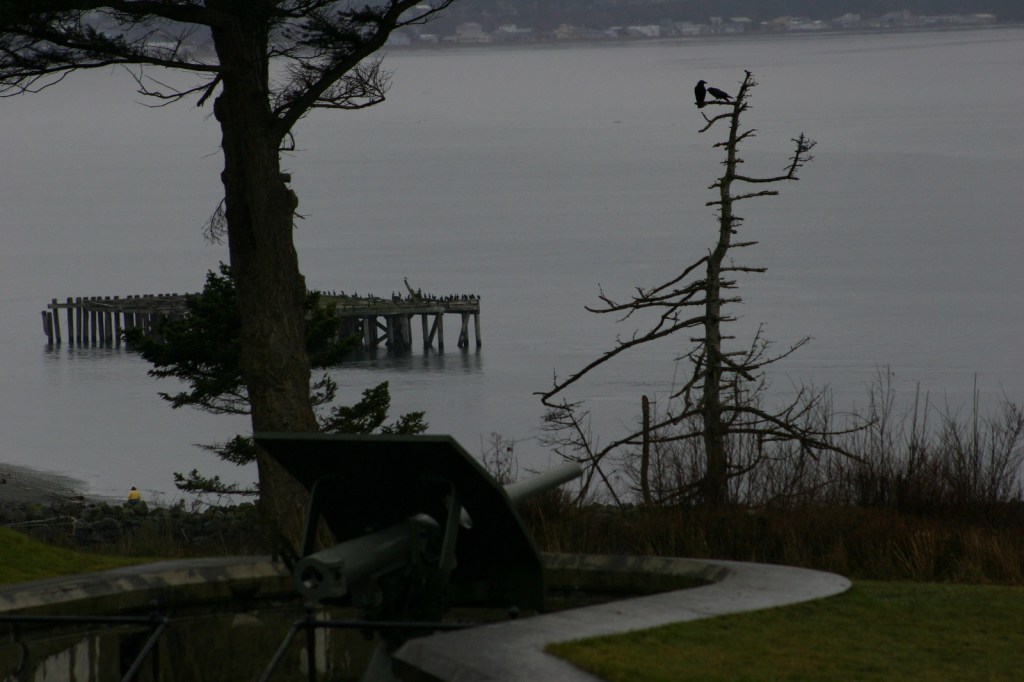
Admiralty Head Lighthouse provides a great photo op in Fort Casey State Park.  Gun emplacements built there became obsolete shortly after their installation due to the rise of the airplane.

Peak Season

Summer

Hours

https://www.nps.gov/ebla/planyourvisit/hours.htm

Fees

None except at the 3 State Parks and Island County Historical Museum in Coupeville, Washington

Road Conditions

The main roads are all paved and any gravel roads are well-maintained.

Camping

Both Fort Casey State Park and Fort Ebey State Park have campgrounds, and the latter provides shower facilities.

Related Sites

San Juan Island National Historical Park (Washington)

Fort Vancouver National Historic Site (Washington)

Klondike Gold Rush National Historical Park (Alaska-Washington)

Explore More – How many islands are there in Puget Sound (with the largest being Whidbey Island)?

Amistad National Recreation Area

Overview

Amistad translates as “friendship” from Spanish, which is fitting given that this reservoir is shared by the U.S. and Mexico.  Marinas and boat ramps provide access to the lake for watersports, like fishing and waterskiing.  The 254-foot tall dam across the Rio Grande was built in 1968 and serves as a customs station in Del Rio, Texas.  The National Park Service (NPS) runs a free museum nearby.

Highlights

Panther Cave pictographs, Seminole Canyon State Park, watersports

Must-Do Activity

Amistad National Recreation Area is also famous for its 4,000-year-old pictographs, which can most easily be accessed on guided tours of Seminole Canyon State Park, 45 miles outside Del Rio, Texas on Highway 90.  Admission is charged for the museum and tour, but provides the only way to see the colorful artwork in Fate Bell Shelter.  Viewing fossils in the limestone was an added bonus on the tour.

Best Trail

The pictographs in Panther Cave can be seen from afar by hiking a trail in the state park or up-close by boating to the dock and climbing a steep stairway. 

Instagram-worthy Photo

If you are unable to hike down into the canyon, the Seminole Canyon State Park museum has a replica of the rock art.

Peak Season

Summer

Hours

https://www.nps.gov/amis/planyourvisit/hours.htm

Fees

Boating passes start at $4 for a 1-day pass, $8 per person to tour Seminole Canyon State Park

Road Conditions

All major roads paved

Camping

Two NPS campgrounds are available at Governors Landing and San Pedro and there is a campground at Seminole Canyon State Park.

Related Sites

Alibates Flint Quarries National Monument (Texas)

Waco Mammoth National Monument (Texas)

Canyonlands National Park (Utah)

Explore More – How many miles of the Rio Grande do the park’s boundaries encompass?