Today we published our newest guidebook to all 50 states available for sale on Amazon

50 States of Great: Road Trip Guide to America is a starting point for planning a road trip of any length, covering the best of each state in 12 categories: scenic drive, State Park, museum, waterfall, roadside attraction, National Forest, campsite, and more. 50 States of Great is a culmination of our extensive travels through the United States of America seeking out well-known destinations and less-frequented spots. The goal of our book is to be useful whether you are taking a cross-country road trip or exploring your home state.
We are also giving a presentation on road tripping in the U.S.A. at the Laramie County Library in Cheyenne, Wyoming. It will be held in the Cottonwood Room (1st floor) at 7 p.m. on Tuesday, December 5, 2023. We will have all our books for sale before and after the talk and would be happy to sign them for you.
If you go to our book page on Amazon (https://amzn.to/3tZsK3K) click on the cover image to Look Inside. We have included the Introduction below and will post a sample chapter on this website tomorrow.
Check out our Amazon author page and Shop tab for all four of our books, plus other products!

Introduction
We love traveling in the United States of America (U.S.). We have driven hundreds-of-thousands of miles across the country while on dozens of road trips, plus three flights taken to Hawai‘i. Utilizing our expertise, we wrote this guidebook with the goal of helping readers plan a road trip to see the best of what each state has to offer. This informative book presents all 50 states in alphabetical order, with abbreviated chapters at the end on American Samoa, the District of Columbia, Puerto Rico, and the U.S. Virgin Islands.
In our travels, we have visited every state—at least twice. We have spent the night in all 50 states. Between the two of us, we have lived in ten different states from coast to coast (Alaska, Arizona, Arkansas, California, Colorado, New York, North Carolina, Ohio, Tennessee, and Wyoming—our current home of more than a decade). We have visited in person more than 90% of the locations mentioned in this guidebook and we are excited to see some of the ones we learned about during our research, as well as making it to the remote territories of Guam and Northern Mariana Islands. As the old saying goes: “We have not been everywhere, but it is on our list.”
In 2016, we took ten months off to celebrate the centennial of the National Park Service (NPS) by visiting a State Park and an NPS site in all 50 states. Since then, we have traveled to all 50 states again and three territories, including a special trip in 2022 just to say we finally overnighted in Rhode Island. After the COVID-19 pandemic, we completed our effort to take a hike in all 155 National Forests and all 20 National Grasslands. We are currently on quests to hike in at least one National Wildlife Refuge in every single state (19 down) and finish visiting each state capital (only two to go).
We never liked the idea that parts of the U.S. are considered “flyover country,” and not just because we prefer to drive when we travel. This book started as a way to highlight the attractions in the central U.S., then we realized we knew just as many hidden gems in the most “touristy” states. Relying on our first-hand knowledge, we selected a few must-see sites to visit in each of these 50 United States of America. [Historical note: It was not until the Civil War was fought to preserve the union in the 1860s that “these United States of America” began to be referred to as “the United States of America.”]
We created categories that focused on our areas of expertise, leaving hotels and restaurants to somebody better qualified to compare those businesses. Our categories became the headings for each state that are explained below.
Map
For each state we included an outline map with a star for the capital city and a triangle located at the high point.
Acreage
Not all states are equal in size, so we included the number of acres and the percentage of the U.S. that it covers.
Statehood
This is the year that state was admitted to the union and its number in sequence.
Capital
The city where the state capital resides is represented by a star on the map.
Population
Based on the 2020 census, we included total population and rank out of 50.
High Point
The name and elevation of the highest point in each state is listed, and its location is represented by a triangle on the map.
Name Origin
We briefly explain the often-mysterious etymology. Most state names come from the languages of American Indians, while others have European roots.
Nickname
Every state has a nickname (some of which have changed over time) and the origins of those names are sometimes convoluted.
Background
A catch-all heading that provides some history or glosses over the famous attractions to a particular state, like those in New York City or Las Vegas.
Must-Do Activity
The one place to make sure to visit if you are only going to do one thing in a given state. Our choices range from a city to walk around, an outdoor activity to do, or a general type of attraction to focus on, each of which is essential to experience the best of what that state has to offer.
Greatest National Forest
There are a few states with only one National Forest (and ten without any), which made the selection process easy, but others like California (with 19) were a real challenge to pick. For those ten states without, we chose a National Grassland, State Forest, or similar natural area. We gave equal space to all National Forests in our guidebook Out in the Woods: An Introductory Guide to America’s 155 National Forests.
National Parks
A simple list of each of the 63 National Parks that lie within that state’s border. For more information on each of these, check out our guidebook A Park to Yourself: Finding Adventure in America’s National Parks.
Best National Park Service Site
Excluding the 63 National Parks, we chose our favorite unit managed by the National Park Service from among the National Monuments, National Historic Sites, National Memorials, and other classifications.
Most Scenic Drive
States designate specific roads as “Scenic Byways,” but we did not limit our choices to the official ones. We have driven hundreds-of-thousands of miles on vacations, so we have a feel for what makes an interesting route.
#1 Roadside Attraction
There are entire websites dedicated to roadside attractions and we cannot claim to have been to even half of them. However, we try to break up our drives with interesting stops, some of which take longer to visit than others.
Unique Museum
There are thousands of museums across the U.S. covering art, science, history, and everything in between. We would not argue that these are necessarily the best museums in each state, only that they were unique enough to get our attention.
That’s So [State Name]
In our research, we came across patterns of similar attractions in a specific state or someplace exceptional that could exist only in one state. This became our catch-all heading for fun spots that did not seem to fit elsewhere.
Top State Park
All 50 states have State Parks and we have visited at least one in each state. We often highlight State Parks under other headings, but here we focus on one that stands out above the rest.
Favorite Short Hike
There are so many hiking trails and websites dedicated to them that it is often hard to choose a destination. We guarantee that if you take the trail we picked that you will get a good feel for that state.
Backpacking Destination
We love backpacking and have read more about these remote destinations than any other areas. Our experience on the East Coast is limited, but we did find at least a one-night excursion for all 50 states.
Cool Campsite
We have camped in nearly every state, but usually not in a campground. We prefer dispersed camping on public lands, like those run by the U.S. Forest Service and Bureau of Land Management. Here we focused on unique spots for pitching a tent that sometimes require boating, backpacking, or riding a train (see West Virigina).
Wonderful Waterfall
Waterfalls are some of the most popular destinations for hikes and drives. However, due to topography some states are more blessed with options than others. Our choice is not always the tallest or busiest, but we think you will not be disappointed if you go.
***
For trip planners, thick guidebooks can often be overwhelming and travel websites are usually more interested selling something than providing any useful information. Our research method usually starts with reading the short descriptions found in free tourist pamphlets or book series like Off the Beaten Path, and then further investigating those places on the internet. State Parks, National Forests, and National Park Service sites typically have useful information on their websites and apps. We apologize for any out-of-date content, as there may have been significant changes to some of the attractions since 2020. A wealth of data on specific destinations and hiking trails is available free online, often with detailed directions on how to get there. Check these frequently-updated websites first before visiting anywhere in our guidebook since they can close due to various economic and natural disasters.
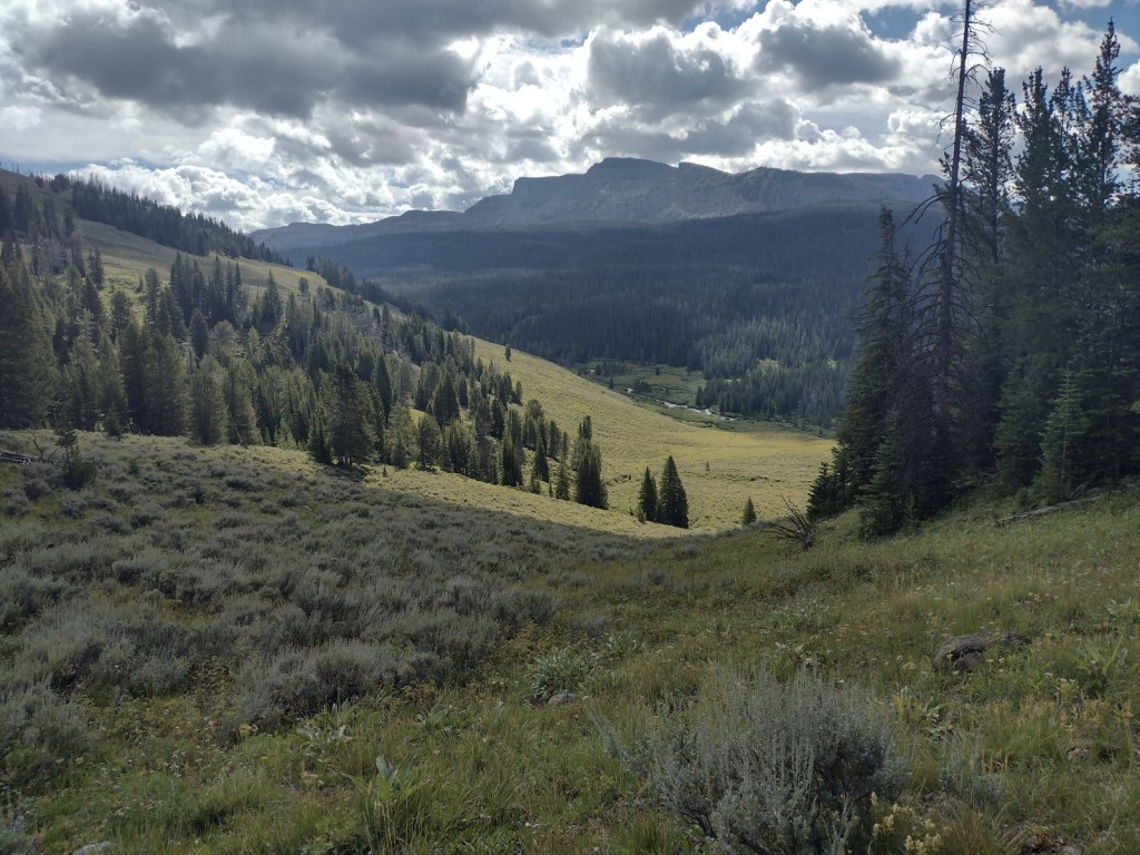
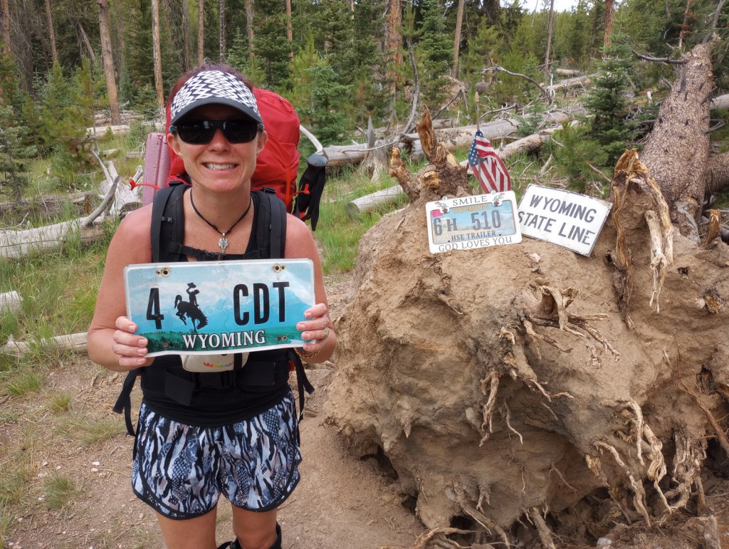
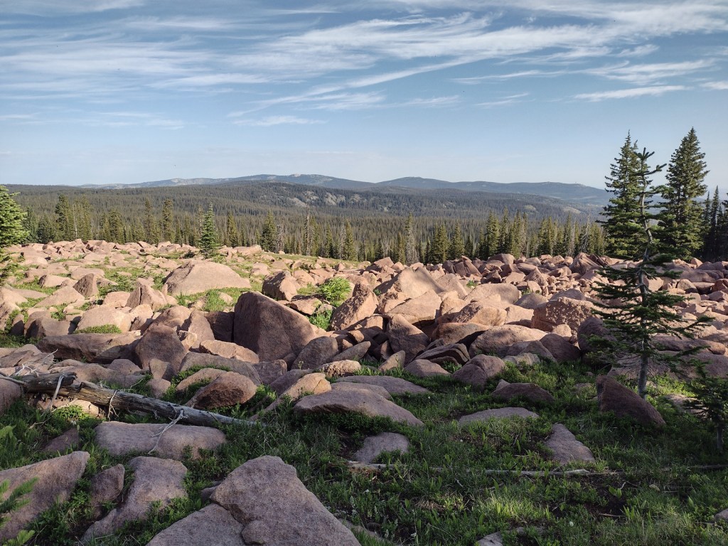
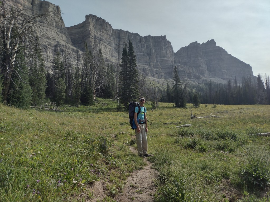
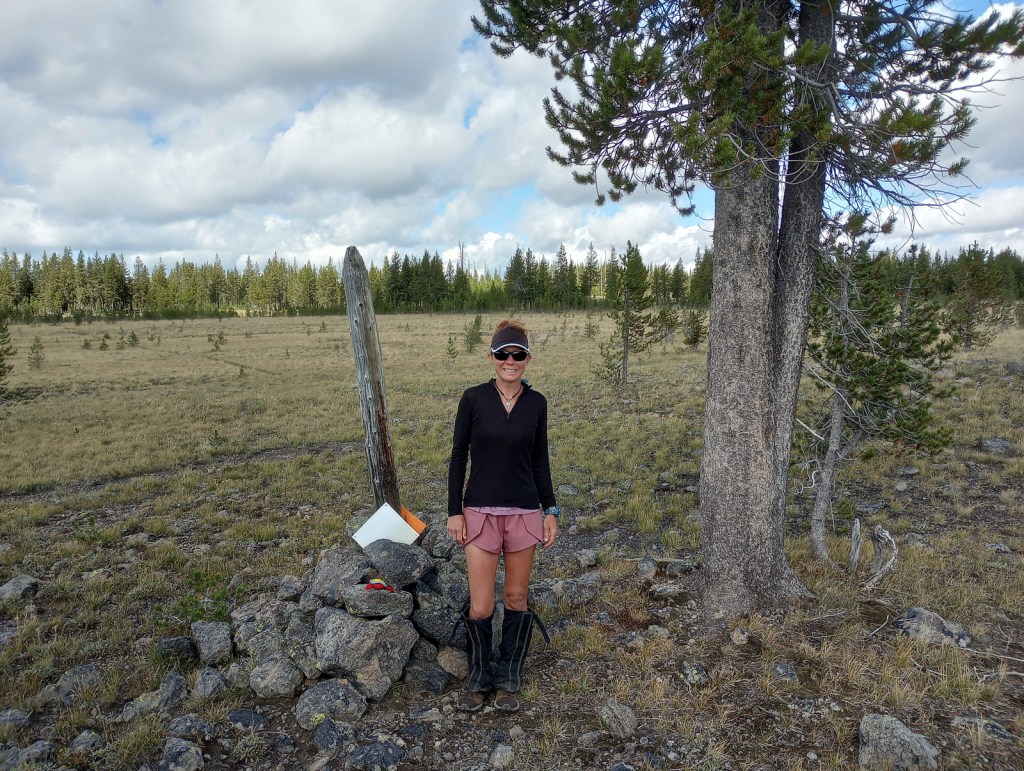
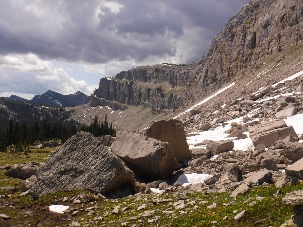
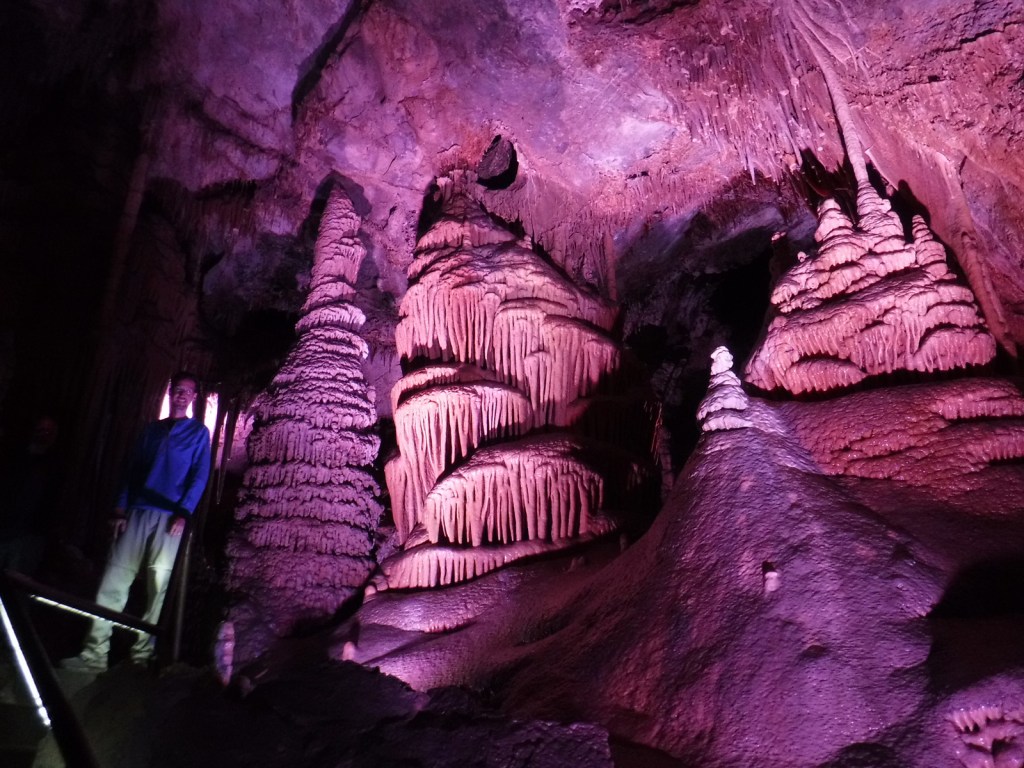
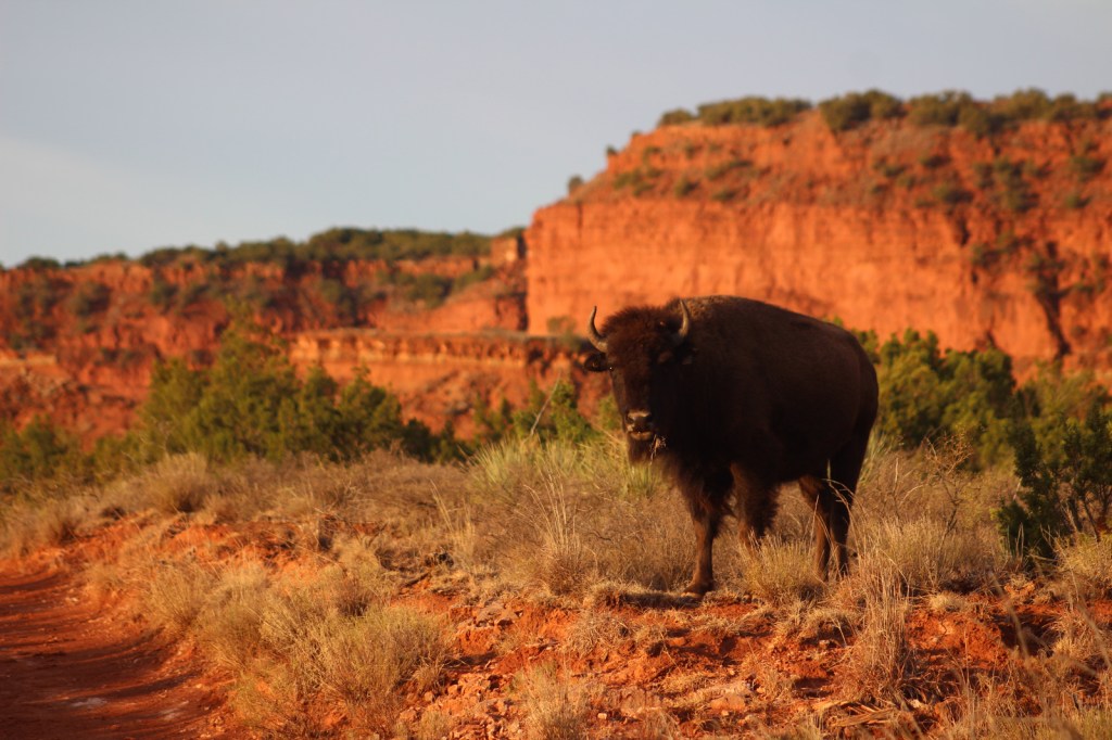
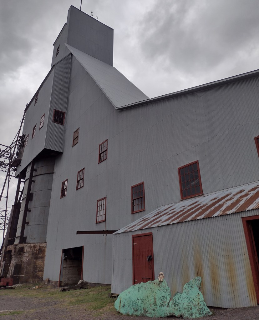
For each state, we selected two original photographs by the authors from a place discussed in the headings above. We limited the number of photos from National Parks and National Forests as those can be found in our other guidebooks. You might notice our stuffed animal named Wondon in a few of the photos since he has his own travel blog (WondonBuns.blogspot.com).
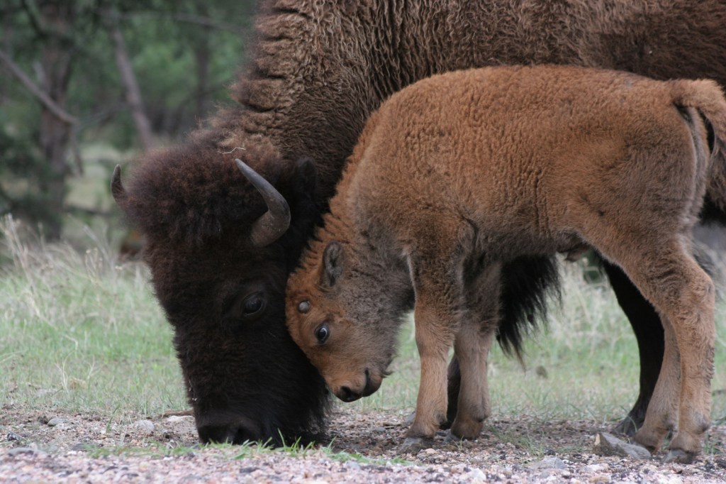
All illustrations are original drawings by Scott based on photographs we have taken. We selected an animal found in each state to represent it, allowing for some duplicates. Scott’s illustrations from this book are available on a variety of products on our travel website (RavenAboutTheParks.com).
We hope that 50 States of Great provides inspiration for your own explorations of the United States of America.
Adventure on!
-Scott and Tiff
Cheyenne, Wyoming
October 2023
We are a participant in the Amazon Services LLC Associates Program, an affiliate advertising program designed to provide a means for us to earn fees by linking to Amazon.com and affiliated sites.