Tag Archives: photography

Kenai Fjords National Park

Kenai Fjords National Park

Alaska

Managed by National Park Service

Established 1980

669,984 acres

Website: nps.gov/kefj

Overview

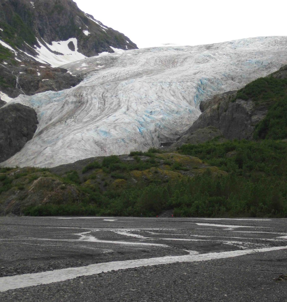
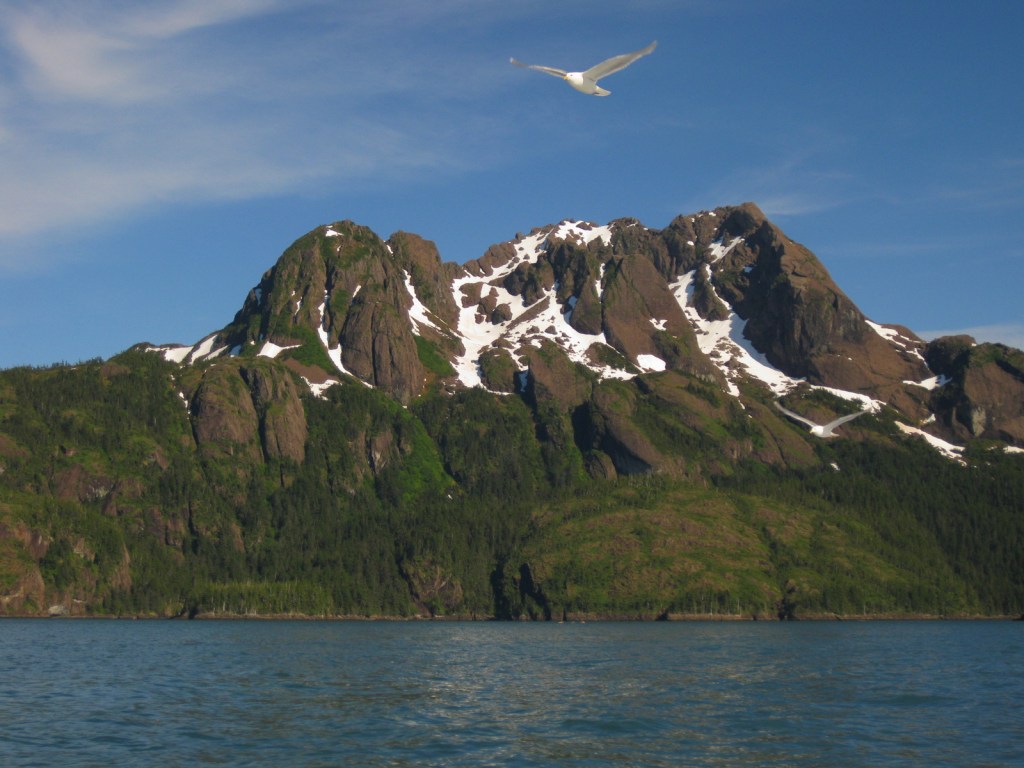
Our favorite of the eight National Parks in Alaska is Kenai Fjords.  It is a great place to witness the thunderous calving of a tidewater glacier, an experience that should be on everyone’s bucket list.  Boat tours leave from the port of Seward and travel up beautiful Resurrection Bay, a long saltwater-filled valley (or fjord).  The town was named in 1903 for the Secretary of State who purchased the Alaska Territory from Russia in 1867 for less than two cents per acre, a move then known as “Seward’s Folly.”  Exit Glacier is the only portion of the park accessible by road and is worth the side trip. 

Know someone who loves National Parks? Gift them our travel guide A Park to Yourself: Finding Solitude in America’s 63 National Parks

Highlights

Exit Glacier, boat tours, tidewater glaciers, marine wildlife

Must-Do Activity

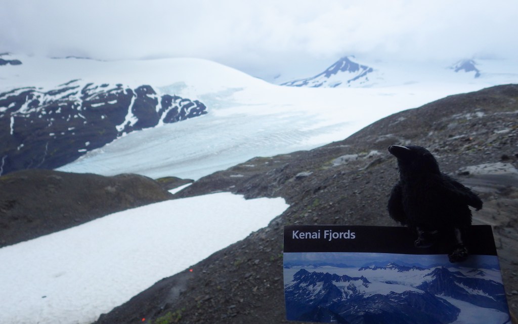
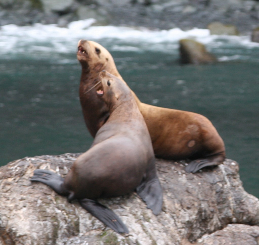
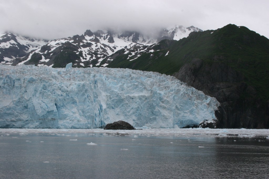
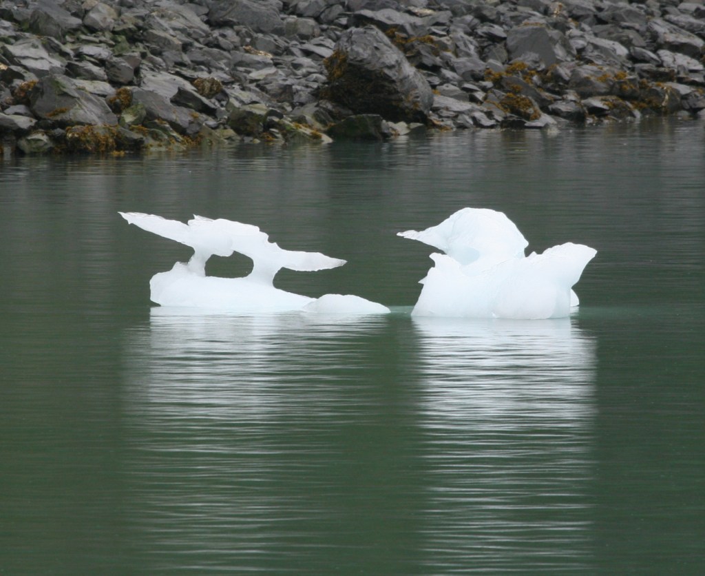
A tour boat is the easiest way to get up close to the variety of marine mammals and seabirds, but hardier souls can kayak the silty blue waters of Resurrection Bay.  Along the route to actively calving Aialik Glacier, you will see an abundance of wildlife: orcas, humpback whales, sea otters, sea lions, bald eagles, puffins, cormorants, and so much more.  Some tour boats have a National Park Service ranger on board to narrate, answer questions, and help kids earn Junior Ranger badges.  Tour boats get you close to the action to witness a tidewater glacier calving into the ocean.  These glaciers are one of 32 arms of the massive Harding Ice Field.

Best Trail

It is a short and worthwhile hike from the parking lot to the face of the rapidly receding Exit Glacier; black bears are common in the area, so keep an eye out for them.  You can continue hiking the steep 3.7-mile one-way trail up to 3,500 feet to view the expansive Harding Ice Field, but that requires at least four hours, serious endurance, and gear for the winter conditions that persist year round at that elevation.

Instagram-worthy Photo

Bundle up as it gets chilly when you pull up close to the actively calving Aialik Glacier.  You will be tempted to try capturing it all on your camera, but take some time to experience the action with your eyes, not through a viewfinder. 

Peak Season

Summer

Hours

https://www.nps.gov/kefj/planyourvisit/hours.htm

Fees

None at Exit Glacier; boat tours cost about $200 per person

Road Conditions

The roads to Exit Glacier and Seward, Alaska are paved.

Camping

Two public-use cabins are available for rent in the summer and only accessible by water.  A free 12-site, walk-in tent campground is available at Exit Glacier, plus a winter-use cabin.  There are multiple RV parks in Seward, Alaska, a beautiful place to spend a few days fishing and visiting the Alaska SeaLife Center (recommended to do before your boat tour of Kenai Fjords National Park).

Related Sites

Glacier Bay National Park and Preserve (Alaska)

Lake Clark National Park and Preserve (Alaska)

Wrangell-St. Elias National Park and Preserve (Alaska)

This design we created to celebrate Kenai Fjords National Park is available on a variety of products at Cafe Press and Amazon.

Explore More – Who is Rockwell Kent and what is his connection with Resurrection Bay (hint: check out our Top 10 list of Alaska non-fiction books)?

Know someone who loves National Parks? Gift them our travel guide A Park to Yourself: Finding Solitude in America’s 63 National Parks

Olympic National Park

Overview

Rising from the Pacific Ocean to 7,980-foot tall Mount Olympus, western Washington’s Olympic National Park is arguably the most diverse National Park in the entire country.  Originally named as a National Monument in 1909 by President Theodore Roosevelt to protect his namesake Roosevelt elk, the area was almost named Elk National Park when upgraded in 1938. 

Learn more in our guidebook to the National Parks, A Park to Yourself: Finding Adventure in America’s National Parks (available on Amazon).

Highlights

Ruby Beach, Lake Quinault, Hoh Rainforest, Sol Duc Falls, Hurricane Ridge

Must-Do Activity

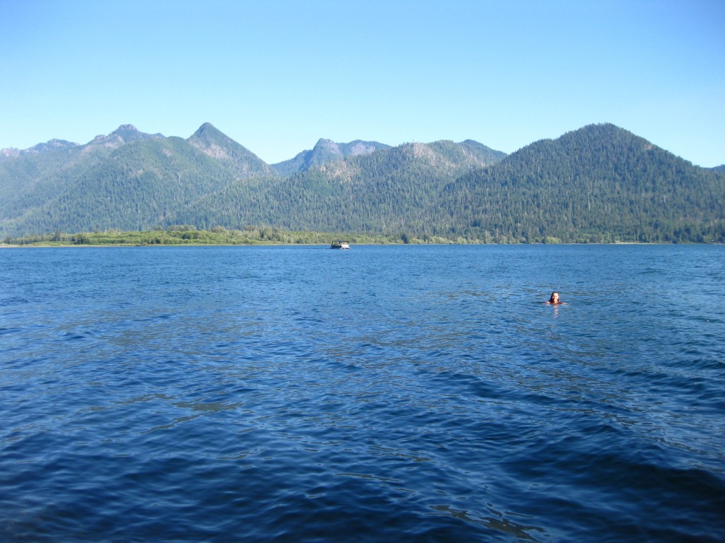
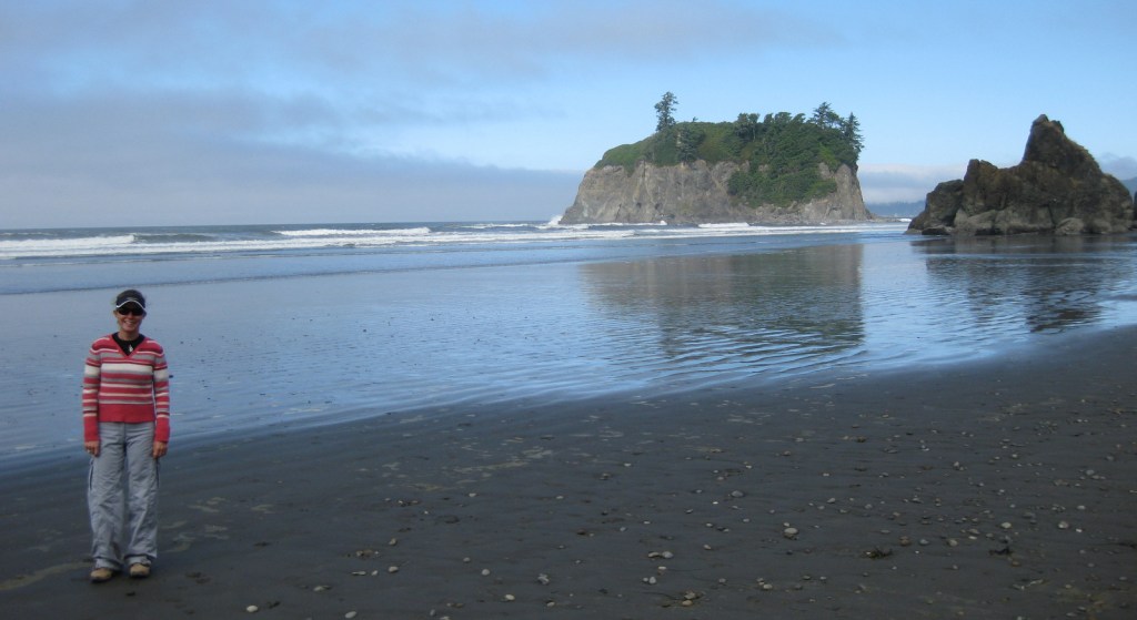
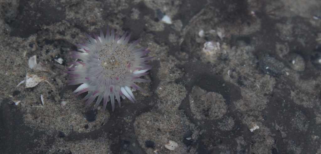
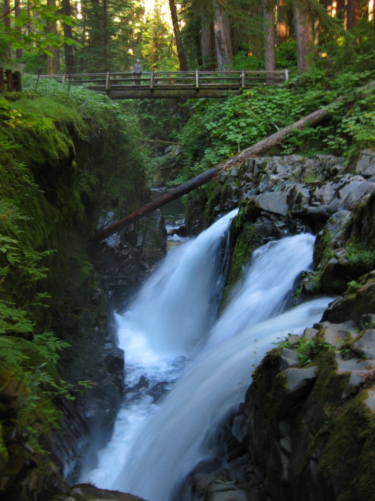
Visitors can explore tidepools at Ruby Beach (pictured in our logo below), soak at a hot springs resort after hiking around Sol Duc Falls, experience sweeping mountain vistas from Hurricane Ridge, and boat across picturesque Lake Crescent.

Best Trail

There are more than 600 miles of trails, but one of the quietest is on the north shore of Lake Quinault and leads to a huge, hollow western redcedar tree.

Instagram-worthy Photo

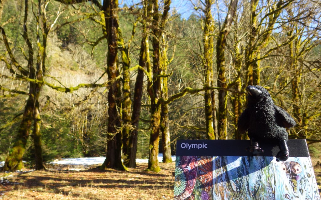
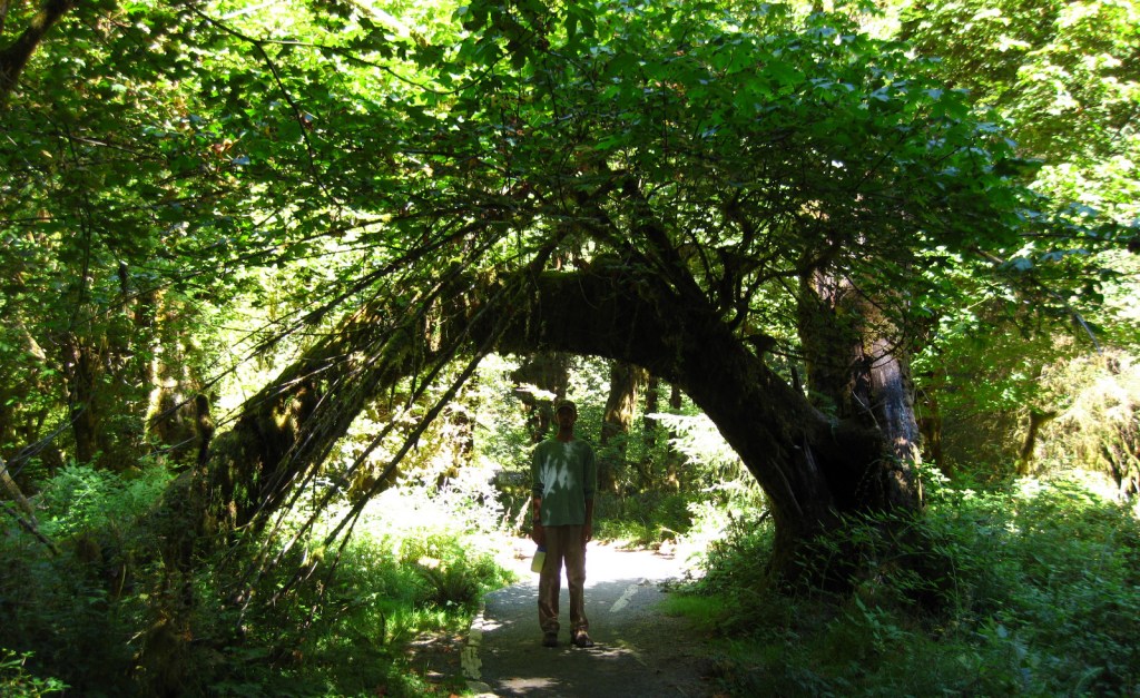
Discover the moss-draped Hoh Rainforest, which at 160 inches annually experiences the highest rainfall totals in the continental U.S.

Peak Season

Summer

Hours

https://www.nps.gov/olym/planyourvisit/hours.htm

Fees

$30 per vehicle or America the Beautiful pass

Road Conditions

All major roads are paved, but notably the road up to Hurricane Ridge is not open every day of the week in the offseason.

Camping

There are numerous campgrounds and four lodges, plus the historic Lake Quinault Lodge built in 1926 (and technically outside of the park).

Related Sites

Lewis and Clark National Historical Park (Oregon-Washington)

Ebey’s Landing National Historic Reserve (Washington)

Mount Rainier National Park (Washington)

This design we created to celebrate Olympic National Park is available on a variety of products at Cafe Press and Amazon.

Explore More – Although they are shrinking, how many glaciers are found in the Olympic Mountains?

We are a participant in the Amazon Services LLC Associates Program, an affiliate advertising program designed to provide a means for us to earn fees by linking to Amazon.com and affiliated sites.

Lincoln Memorial

Overview

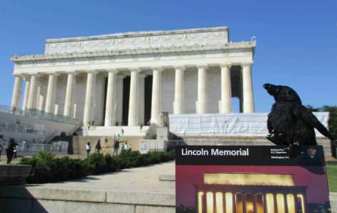
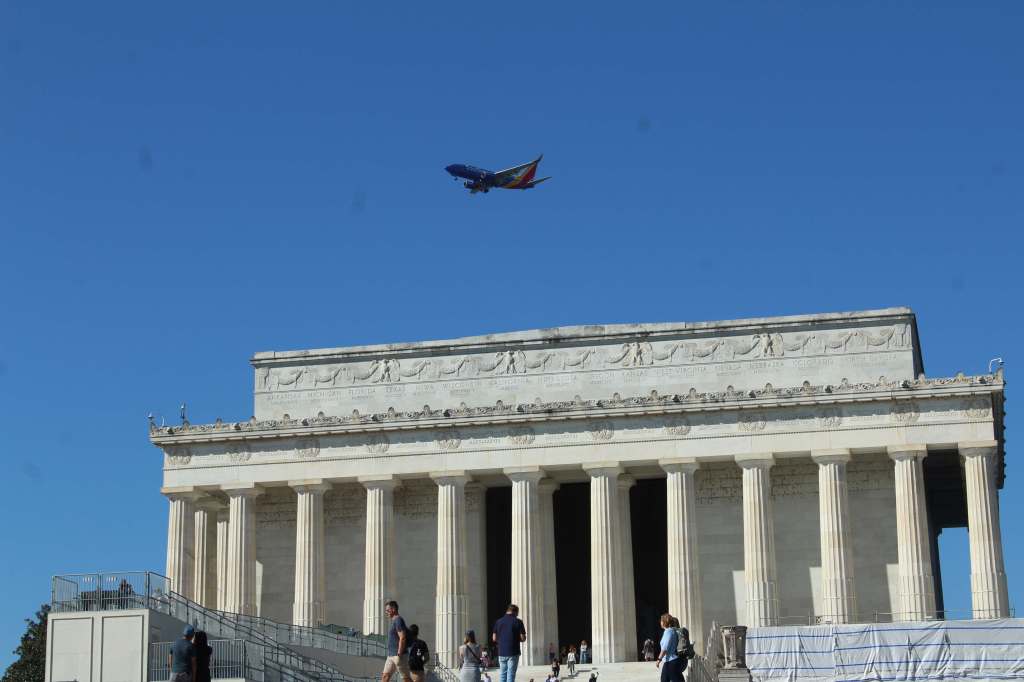
Abraham Lincoln has even more National Park Service (NPS) sites dedicated to him than Theodore Roosevelt (and both are carved into Mount Rushmore National Memorial).  The Lincoln Memorial at the west end of the National Mall in Washington D.C. is by far the busiest with around 7-million visitors annually.  President Lincoln will always have his place in history for issuing the Emancipation Proclamation during the Civil War.

Highlights

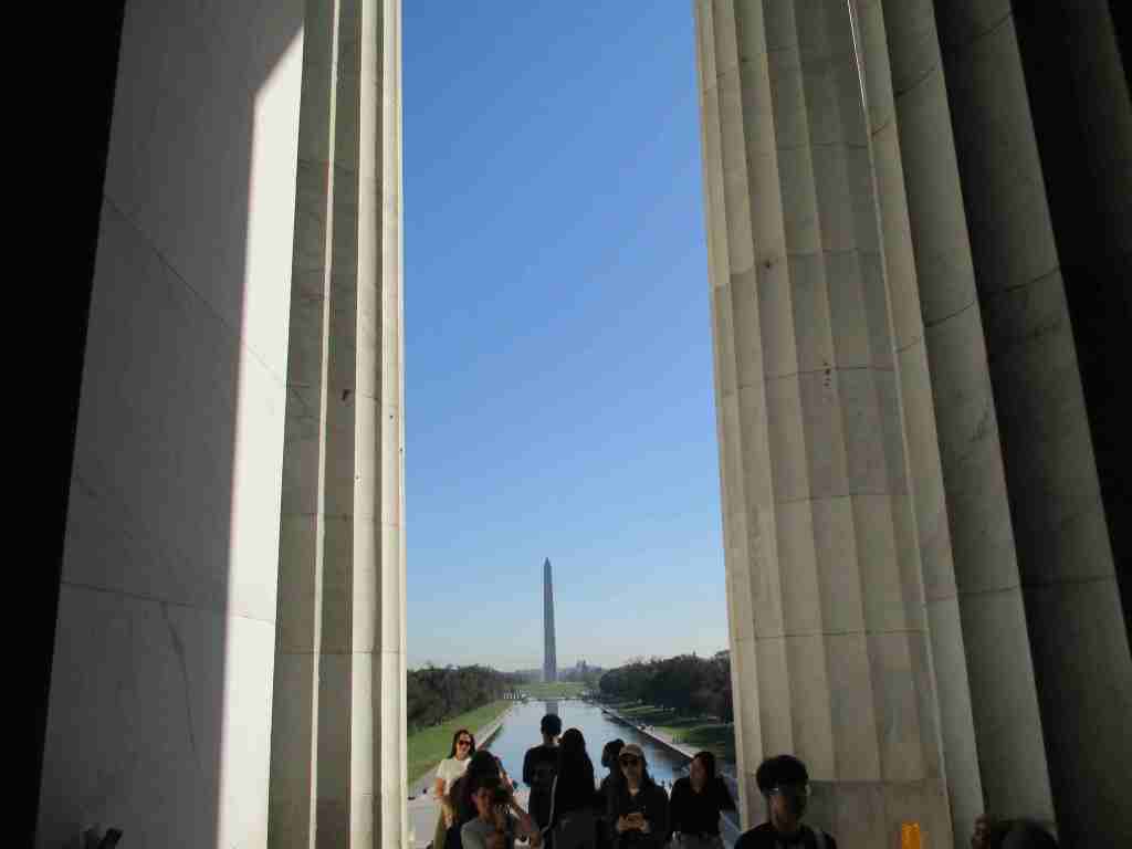
Bookstore, statue, view of the National Mall

Must-Do Activity

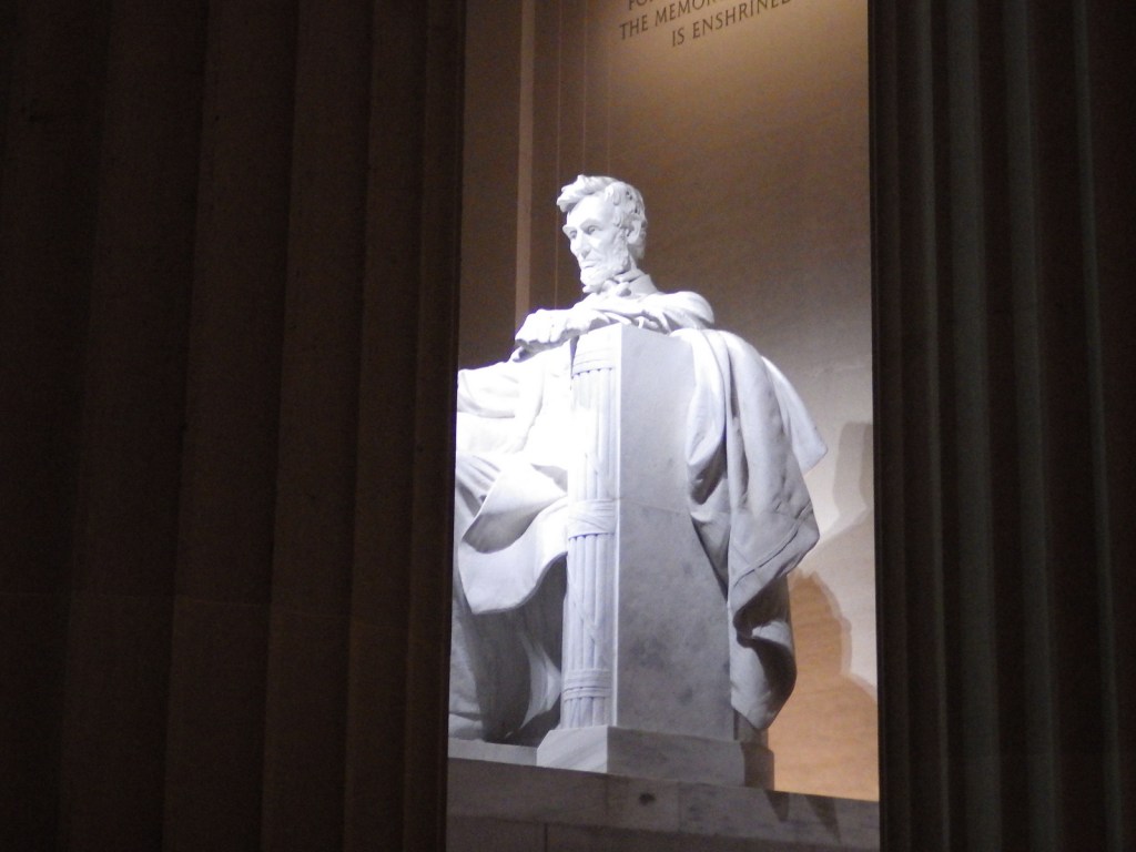
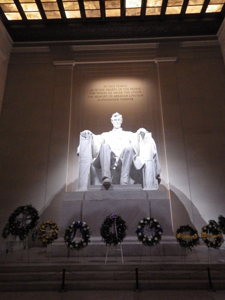
The Lincoln Memorial was inspired by Greek temples and features 36 Doric columns, a giant statue of the seated man, and two large murals.  Be sure to walk to either side of the statue to read two speeches: his Gettysburg Address of 1863 and his Inaugural Address of 1865.  We looked long and hard for a penny-crushing machine at the Lincoln Memorial.  We thought it would be awesome to have that building stamped onto a penny.

Best Trail

None

Instagram-worthy Photo

If you ever have the chance to visit the National Mall in Washington D.C., do yourself a favor and come after dark.  Seeing the white marble and limestone shining under spotlights is quite spectacular (but you might need a tripod for photographs).

Peak Season

Summer

Hours

https://www.nps.gov/linc/planyourvisit/hours.htm

Fees

None

Road Conditions

As with most NPS sites in Washington, D.C., it is easier to walk or take the Metro than find parking for your car.

Camping

There are no NPS campgrounds in the Washington, D.C., so it might be best to head for Shenandoah National Park in Virginia.

Related Sites

Ford’s Theatre National Historic Site (District of Columbia)

Vietnam Veterans Memorial (District of Columbia)

World War II Memorial (District of Columbia)

Nearest National Park

Shenandoah

Explore More – The Lincoln Monument Association was incorporated in 1867, but when was the Lincoln Memorial finally dedicated?

Pinnacles National Park

Overview

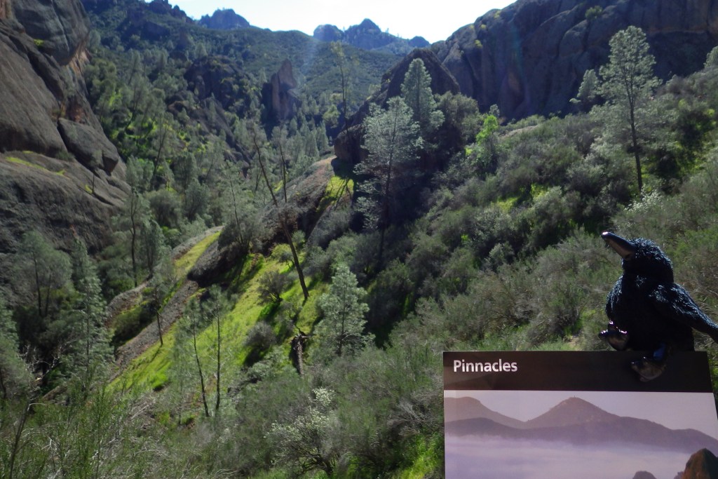
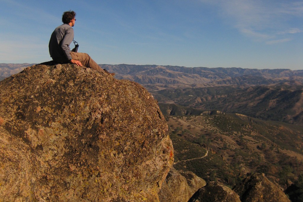
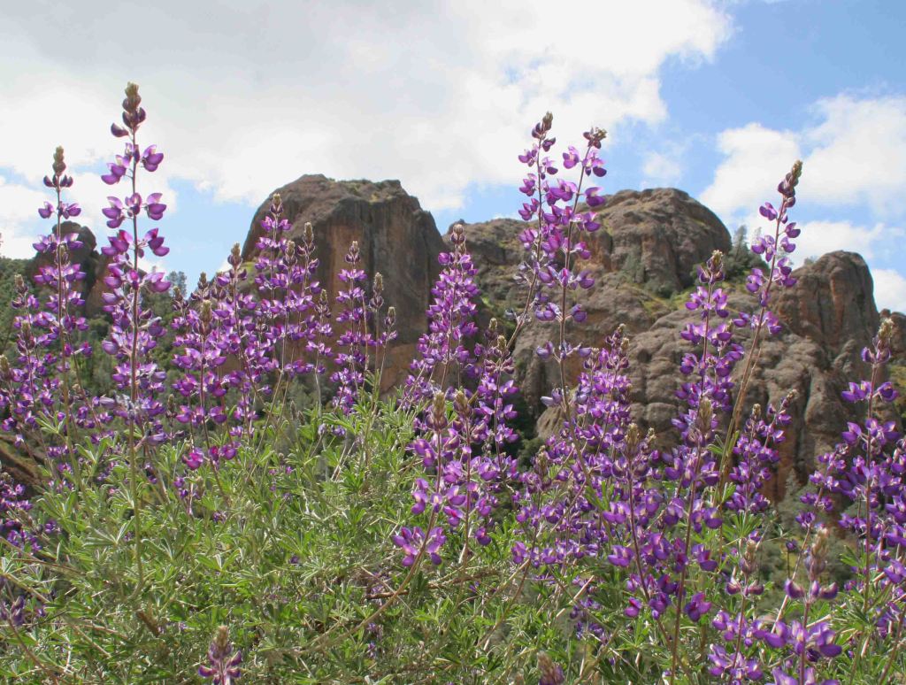
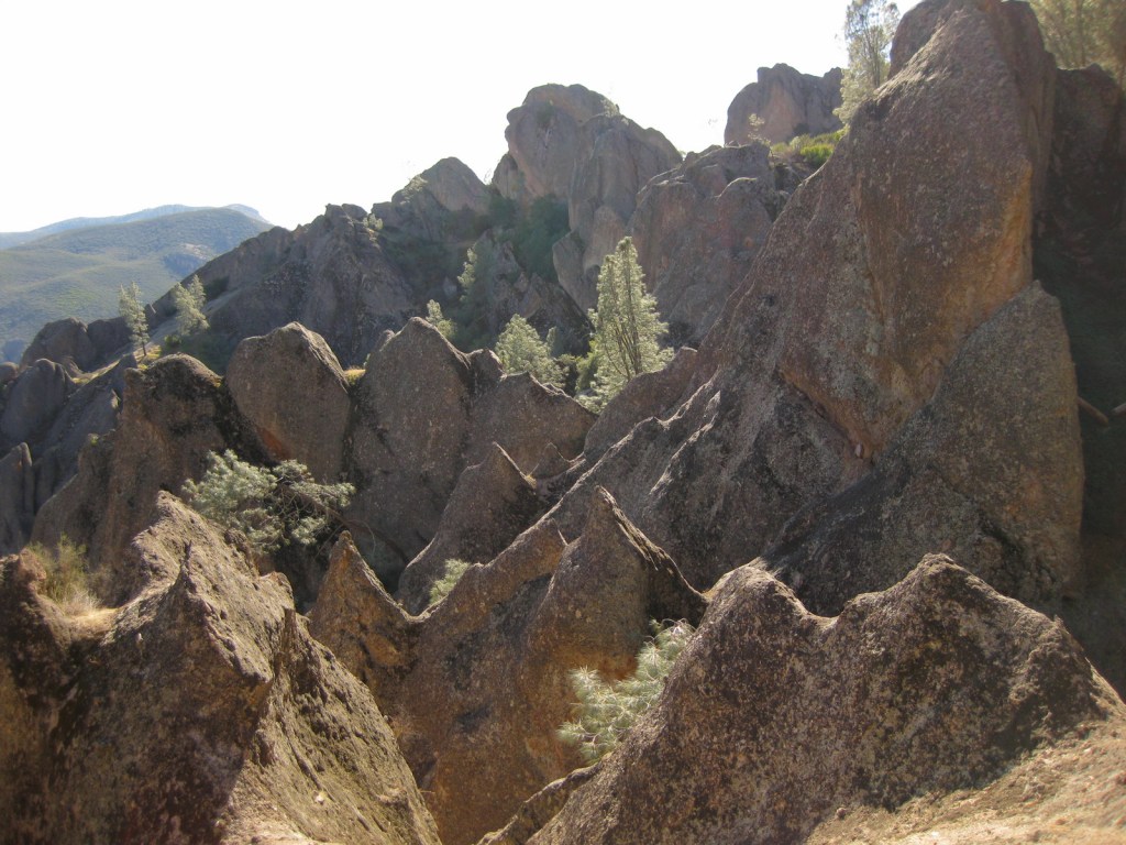
California has nine National Parks, which is more than any other state, including Alaska.  The newest is Pinnacles National Park, upgraded from a National Monument in 2013.  Rising above the agricultural Salinas Valley, it does have quite a long history, going back even before President Theodore Roosevelt officially recognized its significance in 1908.  The park’s West Entrance is accessible from Highway 101 and the East Entrance is closer to Interstate 5 and the Central Valley.  It is actually faster to hike from one side to another, than to drive two hours around. 

Learn more in our guidebook to the National Parks, A Park to Yourself: Finding Adventure in America’s National Parks (available on Amazon).

Highlights

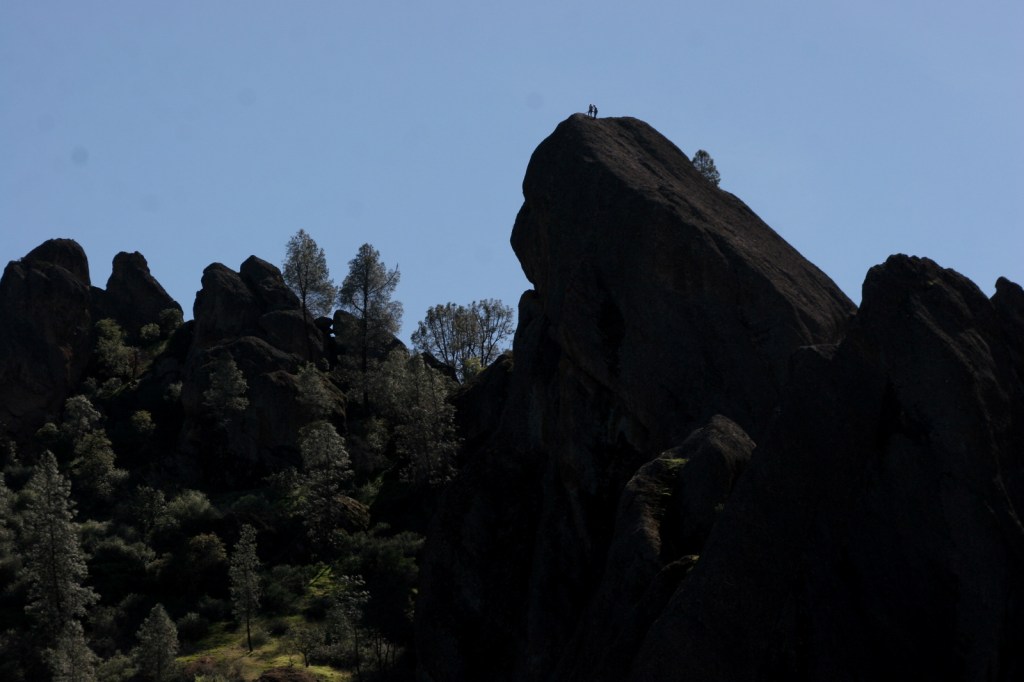
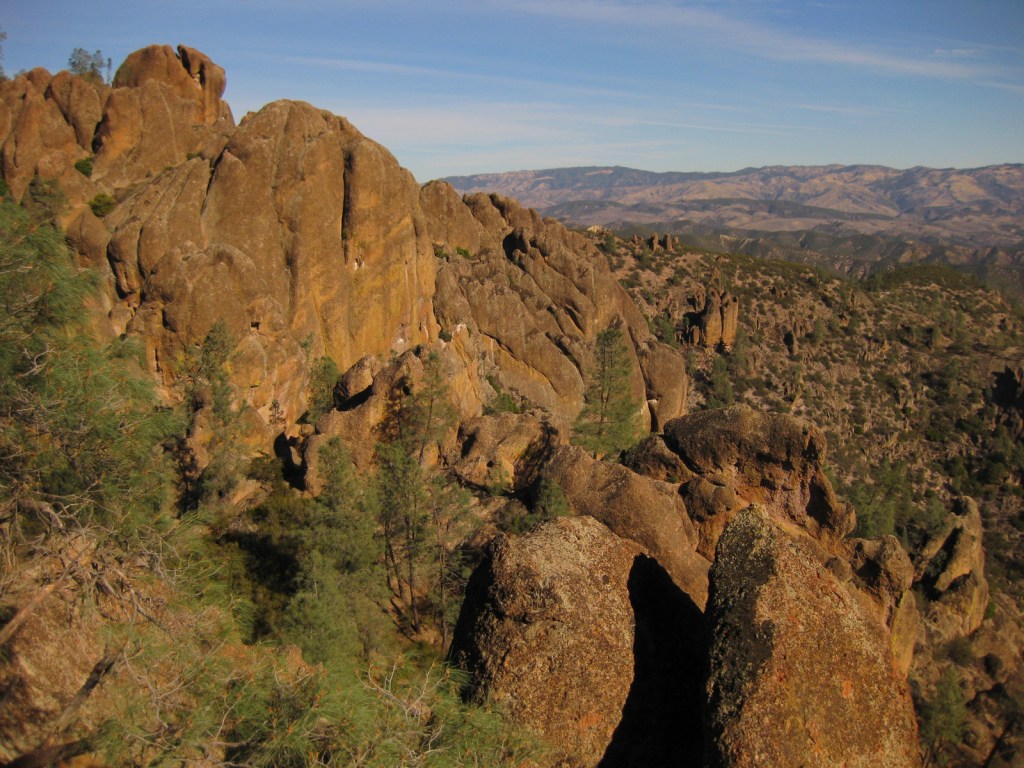
Scenic views, talus caves, rock climbing, endangered California condors

Must-Do Activity

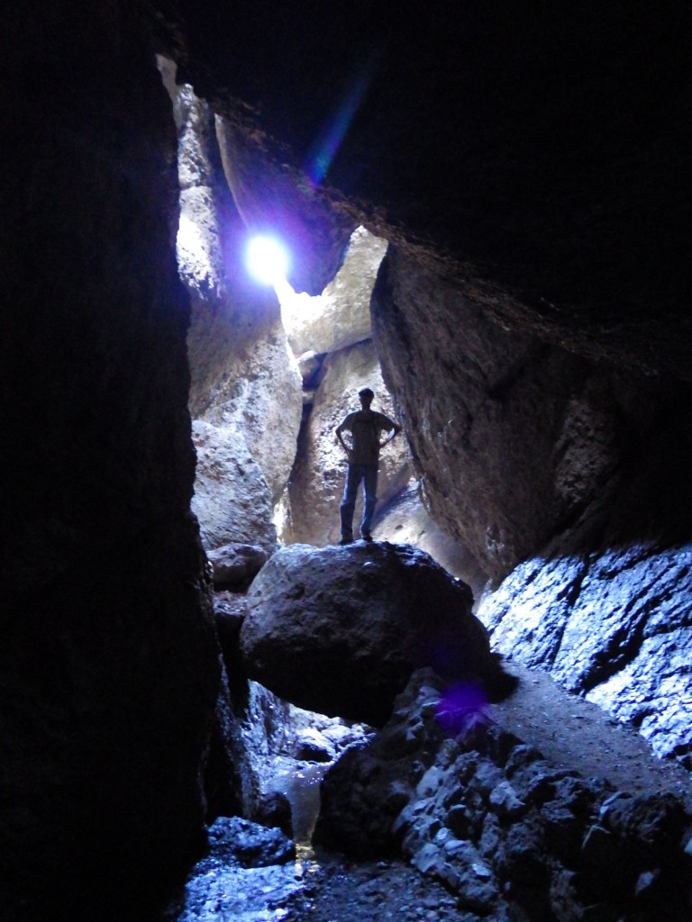
In addition to its striking rock spires, the park is known for talus caves, which are tunnels formed by boulders falling and catching between narrow canyon walls.  Flashlights are necessary to navigate through them, although small gaps in the chaotic ceiling often allow shafts of light through in picturesque fashion.  You might spot a bat flying through the caves, which are seasonally closed for their protection.

Best Trail

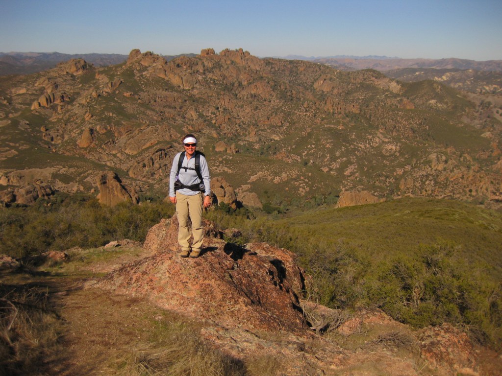
Mild temperatures make this a park for hiking in all seasons.  Just be sure to hold onto the chains while navigating the Steep and Narrow section of the steep High Peaks Trail.

Instagram-worthy Photo

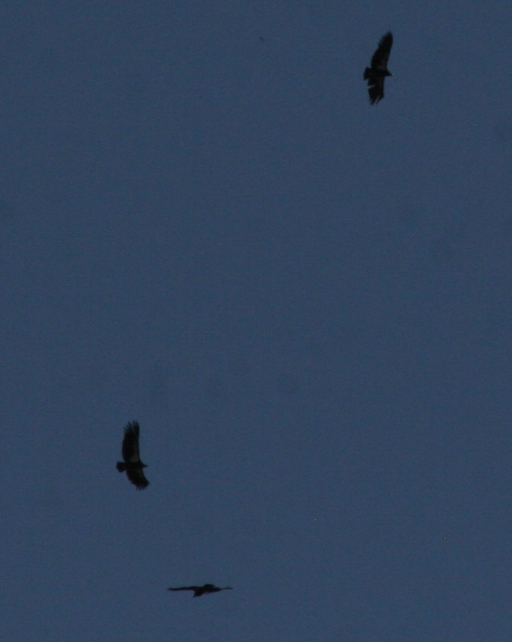
While you may not see a bat in the talus caves of Pinnacles National Park, it is likely you will spot the nine-foot wingspan of a California condor slicing the blue sky outside the caves.  This is perhaps the most successful of all release sites for this species teetering on the brink of extinction.

Peak Season

Summer

Hours

https://www.nps.gov/pinn/planyourvisit/hours.htm

Fees

$30 per vehicle or America the Beautiful pass

Road Conditions

All roads are paved, but there is not a road connecting the East and West Entrances, which are about a two-hour drive apart.

Camping

The West Entrance gate is locked every night as it is day use only, but there is a campground that takes reservations at the East Entrance.  No backcountry camping is allowed.

Related Sites

Yosemite National Park (California)

Channel Islands National Park (California)

Sequoia National Park (California)

This design we created to celebrate Joshua Tree National Park is available on a variety of products at Cafe Press and Amazon.

Explore More – Accessible by a nine-mile roundtrip hike with more than 2,000 feet of elevation gain, how tall is North Chalone Peak?

We are a participant in the Amazon Services LLC Associates Program, an affiliate advertising program designed to provide a means for us to earn fees by linking to Amazon.com and affiliated sites.

Arches National Park

Overview

Arches National Park in Moab, Utah is home to 2,500 wind-carved holes in its famed orange sandstone, ranging in size from a minimum of three feet to 290-foot wide Landscape Arch (the fifth longest span in the world).  As opposed to natural bridges which are carved by flowing water, arches are primarily wind formed, although water and ice can contribute. 

Learn more in our guidebook to the National Parks, A Park to Yourself: Finding Adventure in America’s National Parks (available on Amazon).

Highlights

Delicate Arch, Balanced Rock, Landscape Arch, Fiery Furnace, Devils Garden Trail

Must-Do Activity

We recommend you reserve a spot on a ranger led hike through the twisting labyrinth of Fiery Furnace (additional fee).  You can get a permit to go alone, but we are glad we had a guide or we might still be trying to find our way out.  The beautiful red rocks really show their color at sunrise and sunset, so find a nice place to watch the show when you come.  As depicted on the state license plate for Utah, Delicate Arch is a popular venue for sunsets.

Best Trail

When the crowds in the park overwhelm you, take the easy 8.3-mile drive down dirt Salt Valley Road to the trailhead for less visited Tower Arch.  Seeing Tower Arch is worth the strenuous 3.4-mile roundtrip hike, but it can be hard to photograph.

Instagram-worthy Photo

Double Arch is located near the North and South Windows and photographs well in the late afternoon.

Peak Season

Spring and fall

Hours

https://www.nps.gov/arch/planyourvisit/hours.htm

Fees

$30 per vehicle or America the Beautiful pass

Road Conditions

The main road that dead ends at Devils Garden is paved, but there are some dirt roads in the park that require four-wheel-drive, high-clearance vehicles.

Camping

Devils Garden Campground is a great place to spend the night, with easy trail access to Broken Arch and Sand Dune Arch.  The public land around Moab under the jurisdiction of the Bureau of Land Management is often overrun by dispersed campers.

Related Sites

Canyonlands National Park (Utah)

Natural Bridges National Monument (Utah)

Capitol Reef National Park (Utah)

This design we created to celebrate Joshua Tree National Park is available on a variety of products at Cafe Press and Amazon.

Explore More – At 290 feet, Landscape Arch is the fifth longest span in the world; what country contains the four larger arches?

We are a participant in the Amazon Services LLC Associates Program, an affiliate advertising program designed to provide a means for us to earn fees by linking to Amazon.com and affiliated sites.