Tag Archives: photography

Hovenweep National Monument

Overview

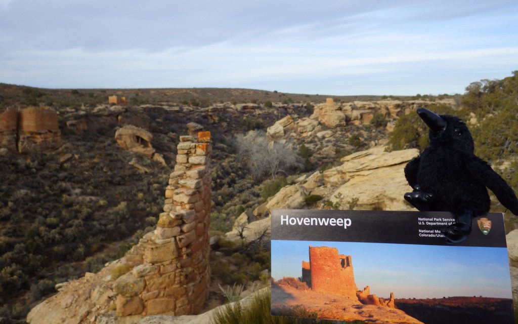
Partially surrounded by Canyons of the Ancients National Monument (run by the Bureau of Land Management), Hovenweep National Monument occupies a remote area on the southern Utah-Colorado border.  Established in 1923, it is composed of six units, the largest of which has a National Park Service (NPS) visitor center on the rim of Little Ruin Canyon, the location of the variable architectural styles of Square Tower Group. 

Highlights

Square Tower Group, Holly Group, Cajon Group, Hackberry Group, Cutthroat Castle Group

Must-Do Activity

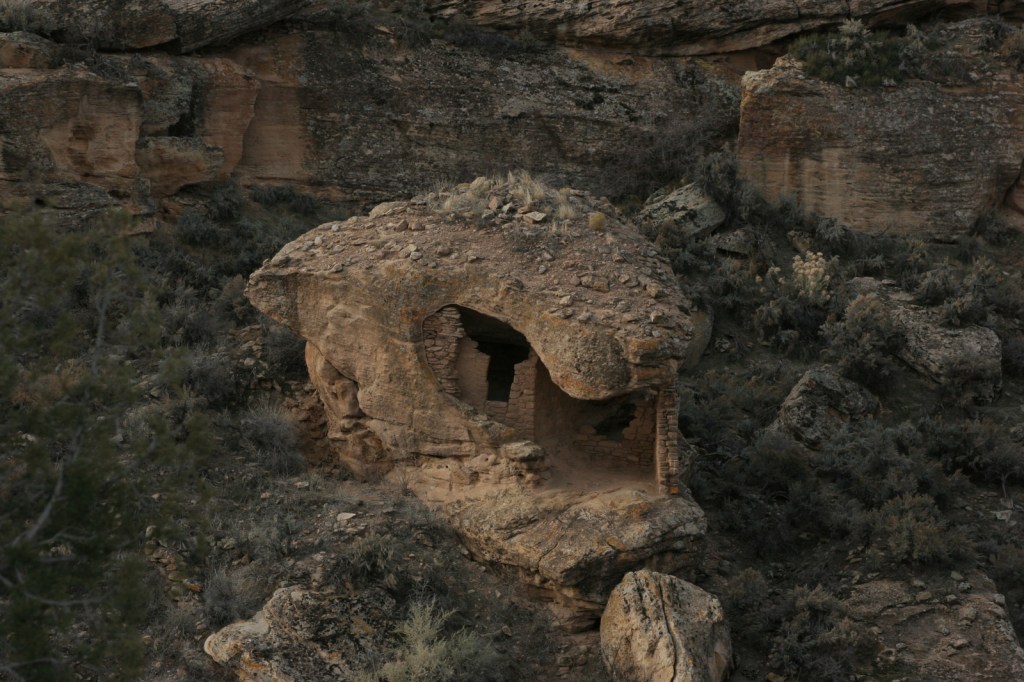
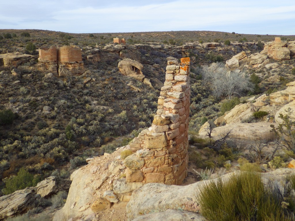
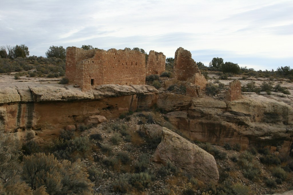
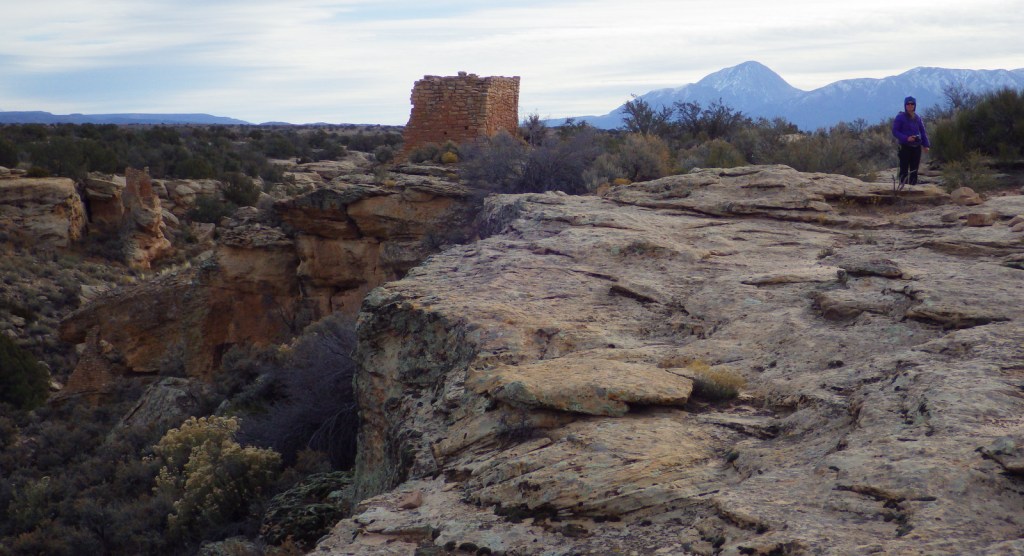
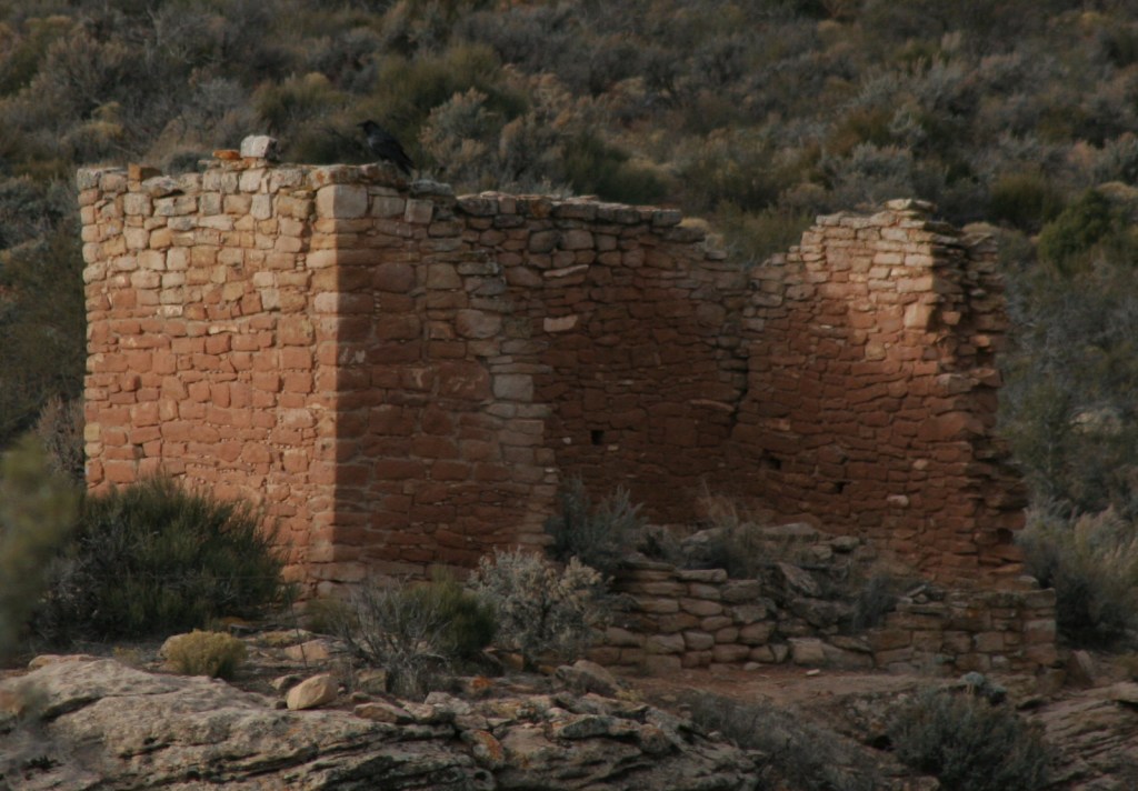
At Square Tower Group a two-mile loop hike takes visitors past an impressive collection of structures that date back to the 1200s, the same period that Ancestral Puebloans inhabited nearby Mesa Verde National Park.  The variety of building styles in this narrow canyon is remarkable, from Square Tower and Hovenweep Castle to Twin Towers and the unique Eroded Boulder House.  There is almost no shade to be found on the sagebrush plain of Cajon Mesa, so visiting in the heat of summer may not be as enjoyable.  The good news is that it makes for boundless vistas, especially to the south where Sleeping Ute Mountain looms.

Best Trail

The loop trail at Square Tower Group is paved and wheelchair accessible to the first overlook at Stronghold Point, but then gets much rougher over its two miles, especially at the end where it drops into Little Ruin Canyon.  A four-mile one-way trail connects this area to the Holly Group of ruins.

Instagram-worthy Photo

Little Ruin Canyon has one of the highest density collections of ruins anywhere in the southwest U.S., including the cool Eroded Boulder House, a part of the Square Tower Group.

Peak Season

Spring and fall

Hours

https://www.nps.gov/hove/planyourvisit/hours.htm

Fees

$20 per vehicle or America the Beautiful pass

Road Conditions

Despite its remote location, roads are paved to Square Tower Group, but accessing most of the other units requires driving or hiking rough dirt roads.  Further east in Colorado’s Canyons of the Ancients National Monument, visitors can drive well-maintained roads to the Escalante Ruins and Lowry Pueblo, as well as the two trailheads for Sand Canyon.

Camping

The NPS runs a 30-site campground (for a fee) at its visitor center near Square Tower Group.  Dispersed camping is allowed in many parts of Canyons of the Ancients National Monument.

Related Sites

Yucca House National Monument (Colorado)

Natural Bridges National Monument (Utah)

La Sal National Forest (Utah)

Nearest National Park

Canyonlands

Explore More – Hovenweep is a Ute-Paiute word that translates as what?

Top 20 National Parks for Photography

The 63 National Parks in the United States are among the most photogenic places on the planet, so this was our hardest Top 10 List to choose.  Instead, for the first time we ranked the top 20!  We still had to leave off some all-time favorites, which says something about the natural beauty of this country.  We previously released a ranking of the top 20 photography destinations among the other National Park Service sites.  Click here to see all of our Top 10 Lists.

10. Arches (Utah)

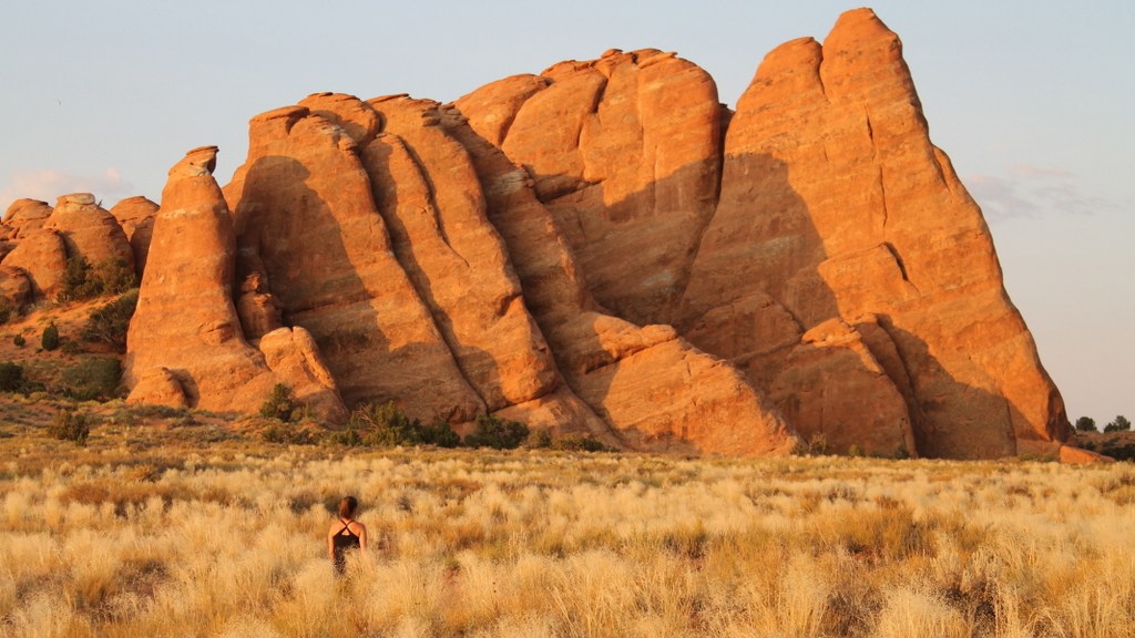
There are too many fantastic sandstone wonders to count in this park

9. Channel Islands (California)

Giant coreopsis provide nests for western sea gulls atop rocky cliffs rising from the ocean

8. Katmai (Alaska)

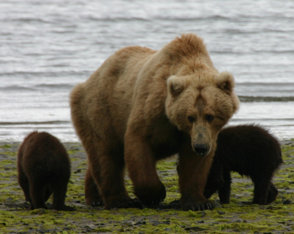
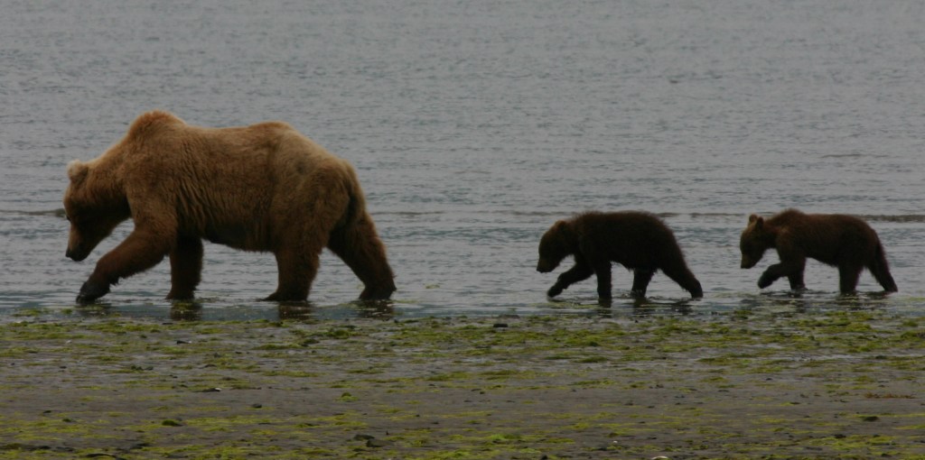
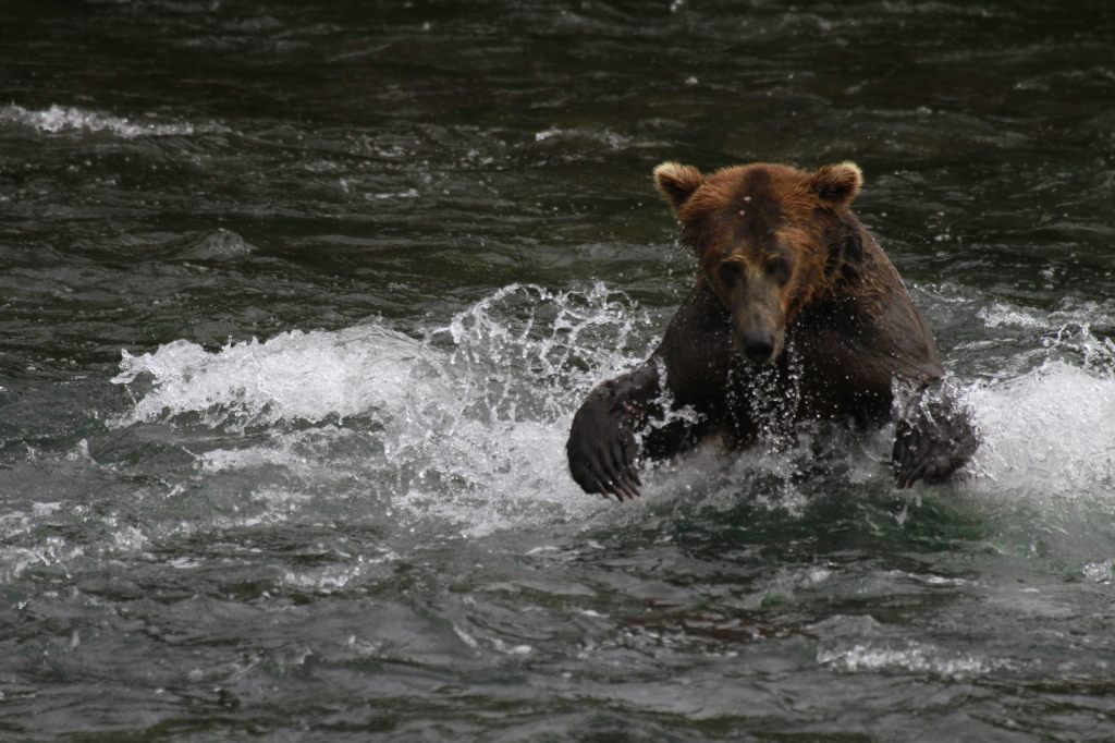
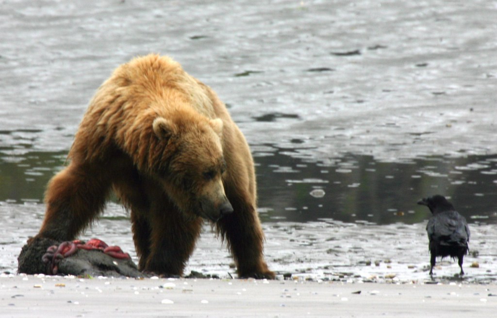
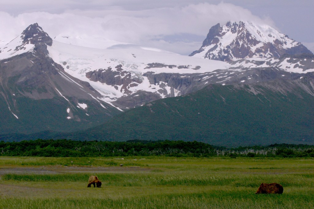
Alpine scenery and Brooks Falls, the world-famous salmon fishing grounds of grizzly/brown bears

7. Great Basin (Nevada)

Cave formations, snow-covered peaks, and photogenic bristlecone pine trees

6. Haleakalā (Hawai‘i)

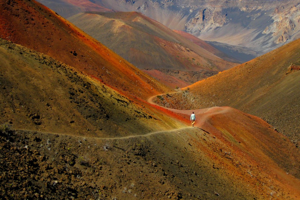
People come from around the globe to watch the sunrise and hike rainbow-hued Sliding Sands Trail

5. Badlands (South Dakota)

Awesome geologic features and a surprising diversity of large mammals

4. Dry Tortugas (Florida)

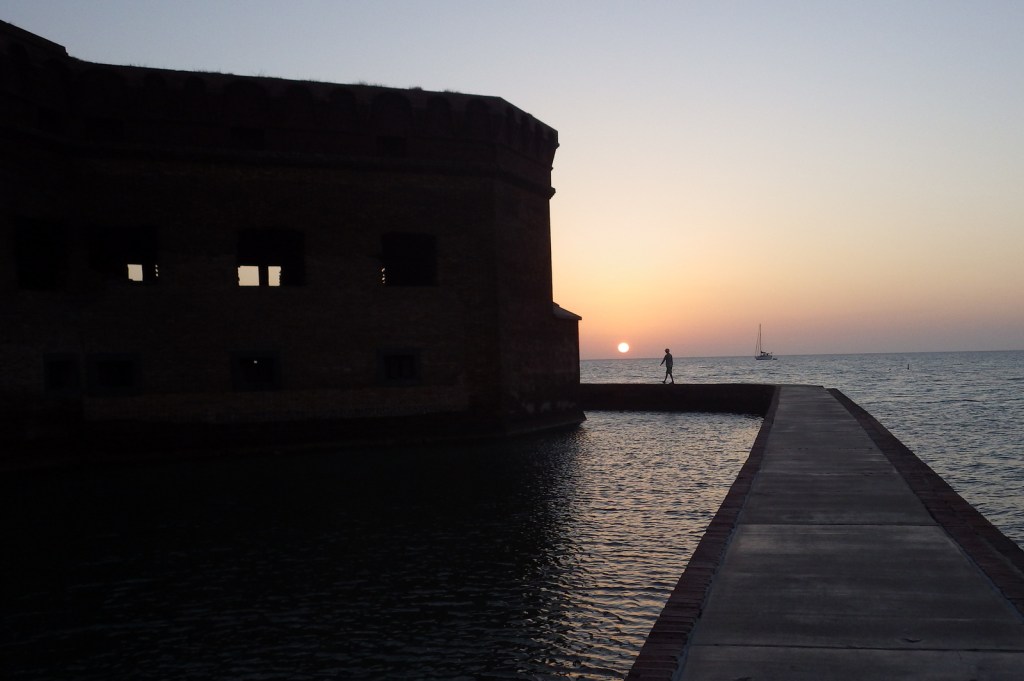
Fish teem in the turquoise ocean water surrounding a picturesque brick fort

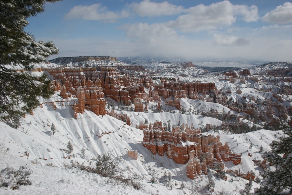
3. Bryce Canyon (Utah)

Bright orange hoodoos fill this giant natural amphitheater that lights up at sunrise and sunset

2. Death Valley (California)

With little vegetation, the earth is laid bare here in all its raw and colorful glory

…and finally the #1 National Park for Photography:

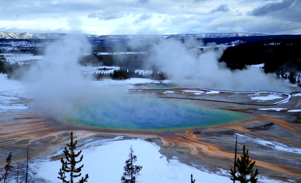
1. Yellowstone (Wyoming-Montana-Idaho)

Unbelievably colorful geothermal features and numerous charismatic wild animals

The Next 10

11. Grand Canyon (Arizona)

12. Yosemite (California)

13. Denali (Alaska)

14. Mesa Verde (Colorado)

15. Grand Teton (Wyoming)

16. Great Sand Dunes (Colorado)

17. Mount Rainier (Washington)

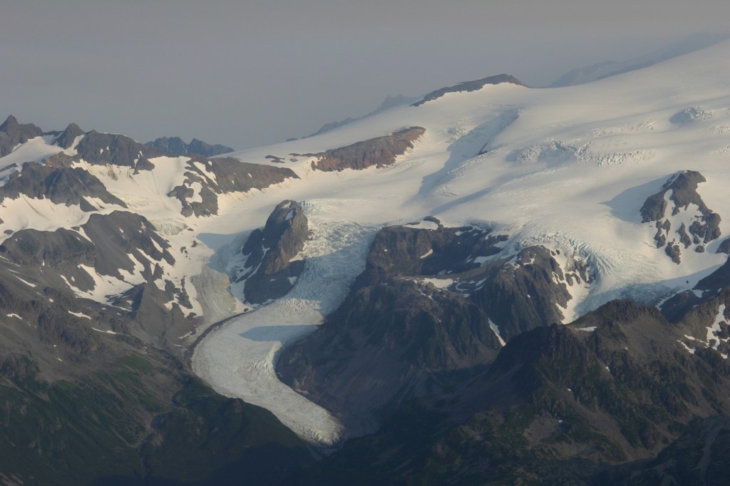
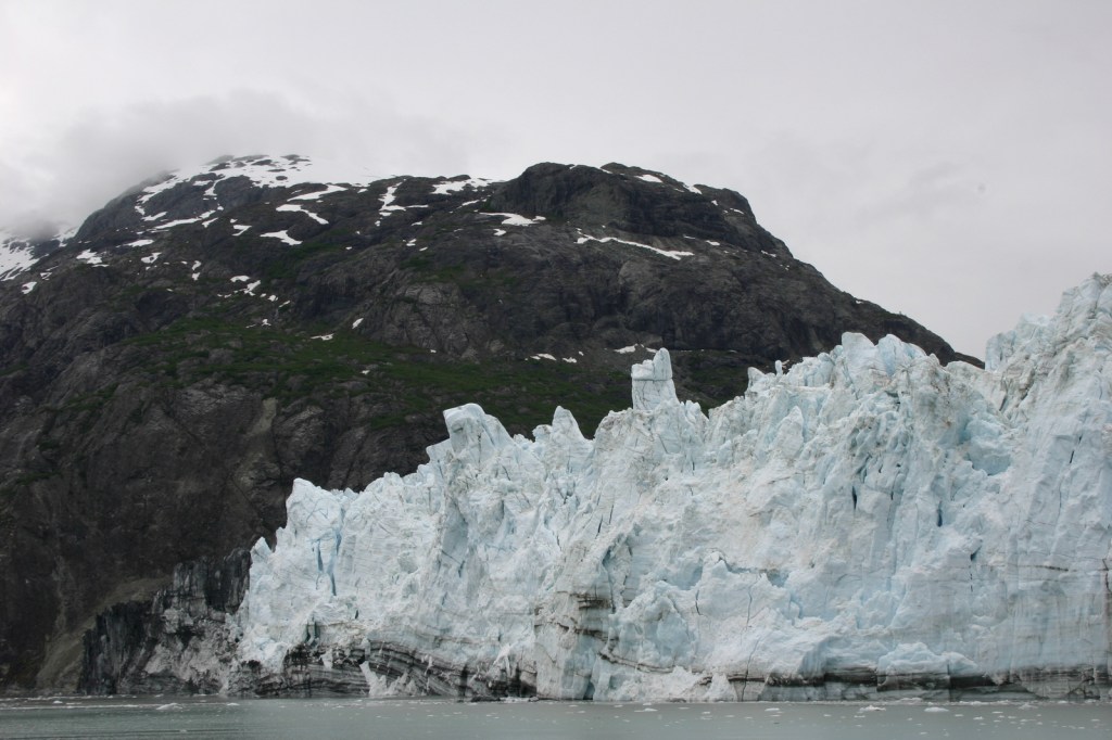
18. Glacier Bay (Alaska)

19. Glacier (Montana)

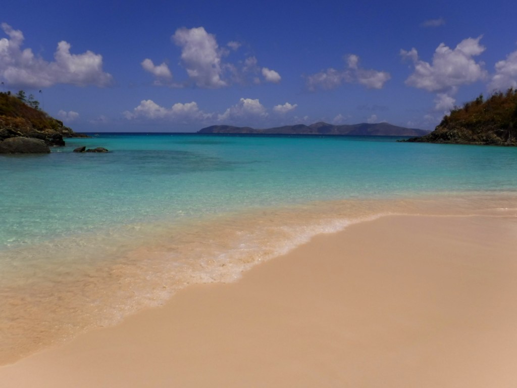
20. Virgin Islands (U.S. Virgin Islands)

Top 20 National Park Service sites for Photography

The National Park Service (NPS) manages some of the most photogenic places on the planet, so this was our hardest Top 10 List to choose.  Instead, for the first time we ranked the top 20!  We will be separately ranking the top 20 of the 63 National Parks for photography, since we had a difficult time even paring that list down.  Imagine how hard it was to choose from the other 360 NPS sites. Click here to see all of our Top 10 Lists.

10. Canyon de Chelly National Monument (Arizona)

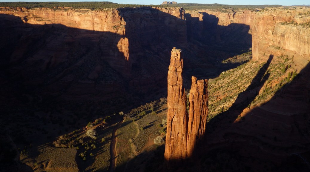
Spider Rock alone would make it worth the trip, but ruins and petroglyphs add to its splendor

9. Christiansted National Historic Site (U.S. Virgin Islands)

Yellow paint makes the architecture pop at this Caribbean seaside fort

8. Apostle Islands National Lakeshore (Wisconsin)

Sea caves and numerous lighthouses are found on the shores of Lake Superior

7. Devils Postpile National Monument (California)

The hexagonal posts are neat and Rainbow Falls is stunning

6. Chiricahua National Monument (Arizona)

Fantastic rock formations abound, including one in the shape of a rubber duck

5. Cedar Breaks National Monument (Utah)

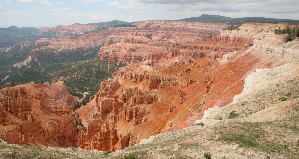
A mini-Bryce Canyon National Park with gnarly Great Basin bristlecone pine trees

4. Lake Mead National Recreation Area (Nevada-Arizona)

The Hoover Dam, Redstone Trail, Emerald Cove, Sauna Cave, and Pat Tillman Memorial Bridge!

3. Buck Island National Monument (U.S. Virgin Islands)

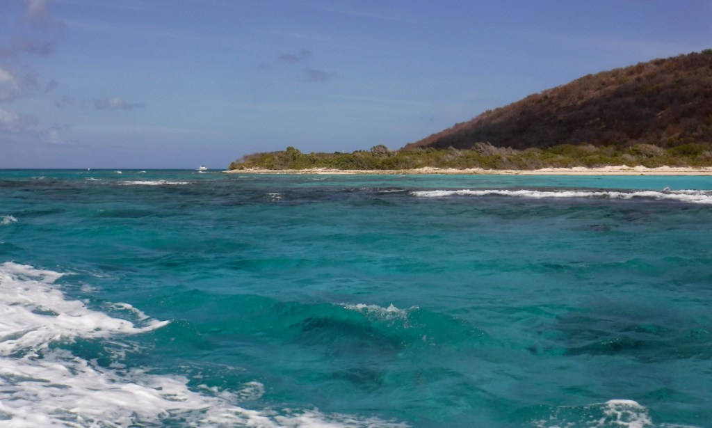
Incredibly clear water and a healthy coral reef make this the best place for an underwater camera

2. John Day Fossil Beds National Monument (Oregon)

The Painted Hills’ surreal colors are Instagram-worthy, but so is the blue soil at Blue Basin

…and finally the #1 NPS site for Photography:

1. Chaco National Historical Park (New Mexico)

High walls of these Ancestral Puebloan ruins are still standing, plus watch for elk, lizards, and ravens

The Next 10

11. Pictured Rocks National Lakeshore (Michigan)

12. City of Rocks National Reserve (Idaho)

13. Lowell National Historical Park (Massachusetts)

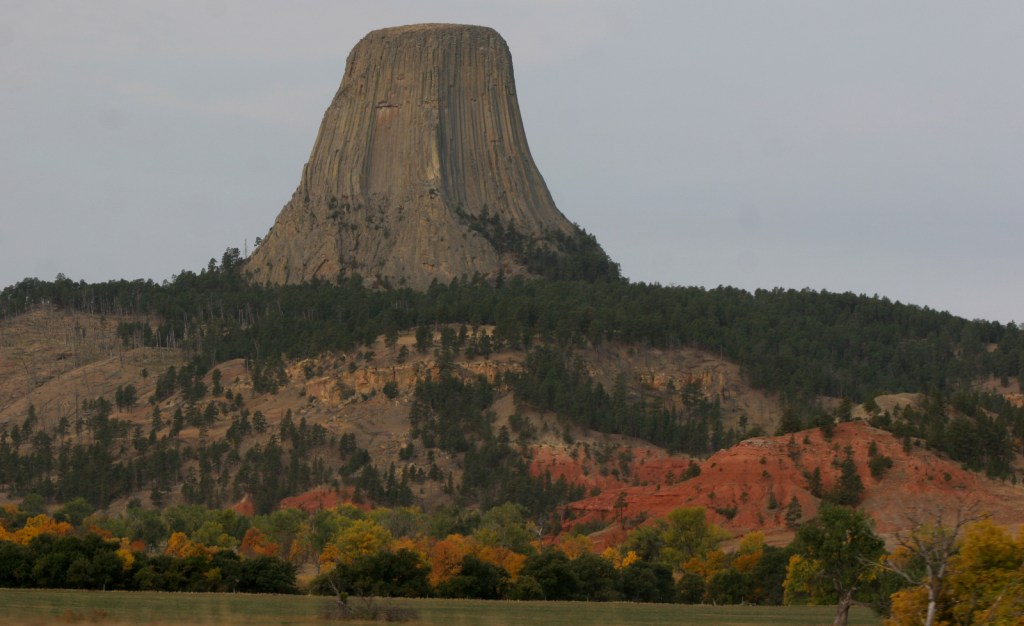
14. Devils Tower National Monument (Wyoming)

15. Bent’s Old Fort National Historic Site (Colorado)

16. National Mall (District of Columbia)

17. Fort Davis National Historic Site (Texas)

18. Point Reyes National Seashore (California)

19. Oregon Caves National Monument and Preserve (Oregon)

20. (tie) Cape Hatteras and Cape Lookout National Seashores (North Carolina)

Canyon de Chelly National Monument

Canyon de Chelly National Monument

Arizona

Managed by National Park Service

Established 1931

83,840 acres

Website: nps.gov/cach

Overview

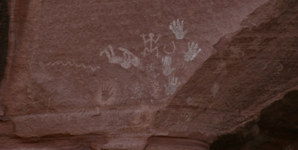
In the heart of the Navajo Nation in northeast Arizona lies Canyon de Chelly National Monument.  Humans have inhabited this area for 4,500 years, leaving behind numerous pictographs and the dramatic ruins of Ancestral Puebloan cliff dwellings.  The Navajo arrived in this region around AD1700 with sheep they gained from Spanish colonists which they utilized to weave intricate wool blankets.  Wars with the Utes, Spanish, Mexicans, and then U.S. government eventually led to their forced migration (“The Long Walk”) to Bosque Redondo in New Mexico around 1864.

Know someone who loves exploring new National Monuments? Gift them our book Monumental America: Your Guide to All 138 National Monuments that is available for sale on Amazon.com.

Highlights

Spider Rock Overlook, White House Ruin, guided vehicle tours, horseback tours

Must-Do Activity

Four years after being forced to the uninhabitable Bosque Redondo, the Navajo were granted the largest reservation in the country and families still inhabit Canyon de Chelly (pronounced “d’shay”) to this day.  The 84,000-acre National Monument is administered cooperatively with the National Park Service (NPS).  However, entrance into the canyon is limited to guided trips and one publicly accessible trail that drops 500 feet to White House Ruin.  Overlooks along the North and South Rim Drives (17 and 18 miles respectively) are free and open year-round, though.  It not only seems like everything runs on a different clock here, but, unlike the rest of Arizona (and now New Mexico), the Navajo Nation observes Daylight Savings Time, so is always an hour later in the summer months (the same time as New Mexico until the fall).

Best Trail

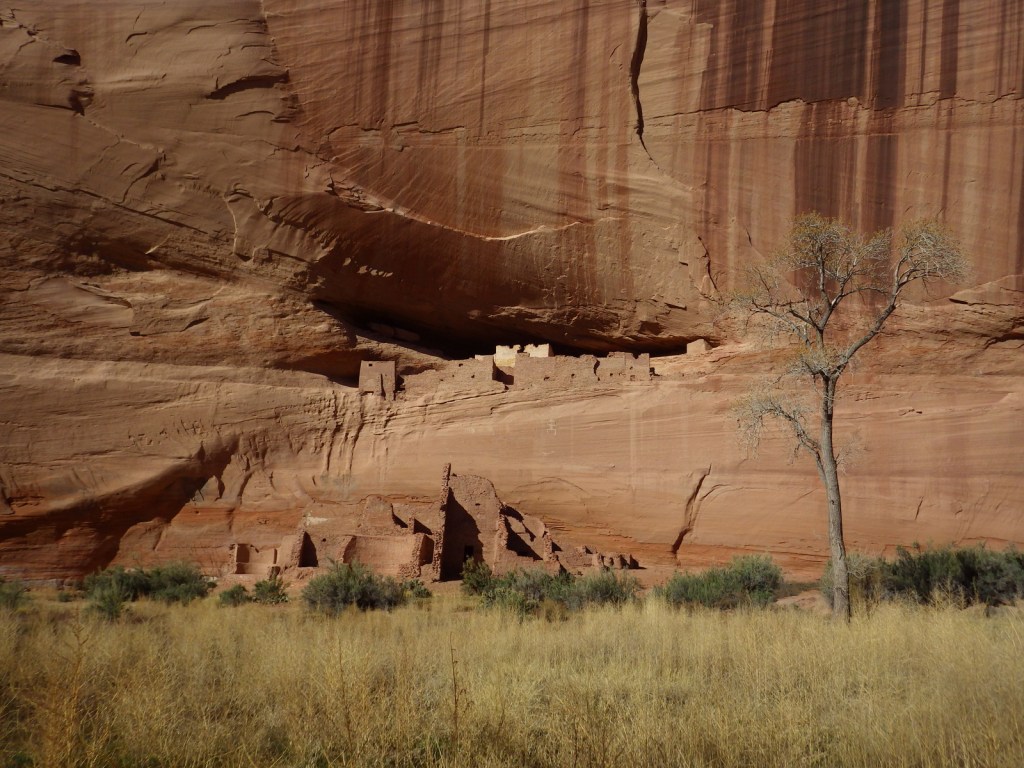
White House Ruin was inhabited AD1060-1275 and is named for the white plaster used to coat the wall in the upper dwelling.  The 2.5-mile roundtrip White House Trail drops down the canyon wall and cuts through a tunnel.

Instagram-worthy Photo

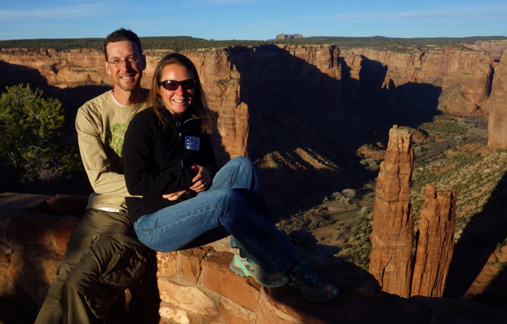
At the end of South Rim Drive is 800-foot tall Spider Rock, a great spot to watch the sun set, which is an ideal time to photograph the canyon’s red sandstone walls.

Peak Season

Summer

Hours

https://www.nps.gov/cach/planyourvisit/hours.htm

Note that there is typically a time difference because Arizona and New Mexico do not observe Daylight Savings Time.

Fees

There is no entrance fee for the North and South Rim Drives, but guided tours into the canyon do charge admission.

Road Conditions

All roads open to the public are paved, but guided tours can be very bumpy since they use the canyon bottom as a road.

Camping

The NPS runs Cottonwood Campground with 96 spaces (and running water in the summer) in a grove of Fremont cottonwood trees that turn yellow in the late autumn.  Guided camping trips in the canyon are also available.

Related Sites

Grand Canyon National Park (Arizona)

Navajo National Monument (Arizona)

Hubbell Trading Post National Historic Site (Arizona)

Explore More – How many millions of years ago did sand dunes turn into Canyon de Chelly’s red sandstone?

Learn more about the other 137 National Monuments in our book Monumental America: Your Guide to All 138 National Monuments

Glen Canyon National Recreation Area

Overview

Glen Canyon National Recreation Area encompasses 1.2-million acres surrounding the snaky shoreline of Lake Powell, named for geologist John Wesley Powell who led a mapping expedition down the Colorado River in 1869.  The reservoir was formed by the Glen Canyon Dam, which was built between 1956-63 to store water for the Southwestern U.S. and generate hydroelectricity.  The damming was controversial because it destroyed archaeological sites, submerged scenic canyons, and altered the flow of the Colorado River into Grand Canyon National Park

Highlights

Horseshoe Bend Overlook, Lake Powell, Glen Canyon Dam, Cathedral Wash, Lees Ferry, Hole-in-the-Rock

Must-Do Activity

The National Park Service (NPS) run Carl Hayden Visitor Center in Page, Arizona is a good place to start a visit, where you can purchase tickets for a dam tour.  The meandering lake has about 2,000 miles of shoreline (mostly in Utah) with plenty of coves to explore and spend the night aboard a houseboat (rentals available).  If you do not want to attempt navigation there are many commercial boat trips, including an all-day cruise to Rainbow Bridge National Monument.  If you plan to stay on land, be sure to walk out to Horseshoe Bend Overlook, hike through the high desert landscape, or drive some of the hundreds of miles of dirt roads.

Best Trail

Wiregrass Canyon is located east of Big Water, Utah and the rocky trail passes hoodoos and two natural bridges.

Instagram-worthy Photo

You might want to bring your “selfie stick” to iconic Horseshoe Bend Overlook, a short 0.7-mile one-way hike from the parking area on Highway 89 outside Page, Arizona.

Peak Season

Spring and fall

Hours

https://www.nps.gov/glca/planyourvisit/hours.htm

Fees

Parking is now $10 at Horseshoe Bend Overlook (no NPS passes accepted), but many other sites are free. There is a $30 per vehicle entrance fee at some marinas (NPS passes accepted), in addition to charges for the dam tour and guided boat tours.
Road Conditions

This park is famous for its backcountry 4×4 roads (like Hole-in-the-Rock Road) and flash floods, so check with a park ranger before attempting anything unpaved.  A fee is charged to ferry across the lake between Halls Crossing and Bullfrog Marina.
Camping

There are several developed campgrounds (mostly near marinas), but free primitive camping is allowed along most dirt roads.  A permit is required for overnight camping in the beautiful Coyote Gulch area, which is popular with backpackers.

Related Sites

Lake Mead National Recreation Area (Nevada-Arizona)

Canyon de Chelly National Monument (Arizona)

Capitol Reef National Park (Utah)

Explore More – Lake Powell is well known for its “bath tub ring,” so when did the reservoir last reach its high-water mark?