Tag Archives: National Historic Trail

Colonial National Historical Park

Overview

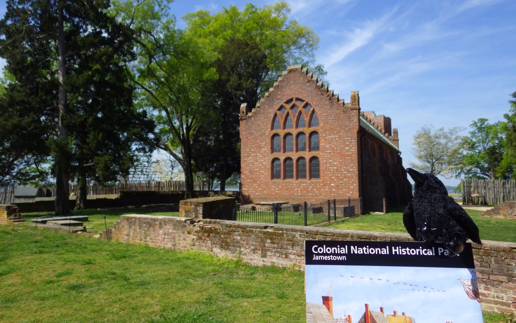
Jamestown and Yorktown, Virginia are linked by the 23-mile Colonial Parkway, which passes through the well-known tourist attraction of Colonial Williamsburg.  After the colony of Fort Raleigh proved a disaster, it was not until 1607 that the first successful English settlement was founded at Jamestown, Virginia.  On October 18, 1781, General Charles Cornwallis surrendered his British troops at Yorktown, effectively ending the Revolutionary War.  Though it was more than two years before a peace settlement was reached and General George Washington was able to march back into New York City, from where he retreated in 1776. 
Highlights

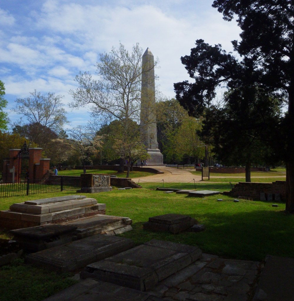
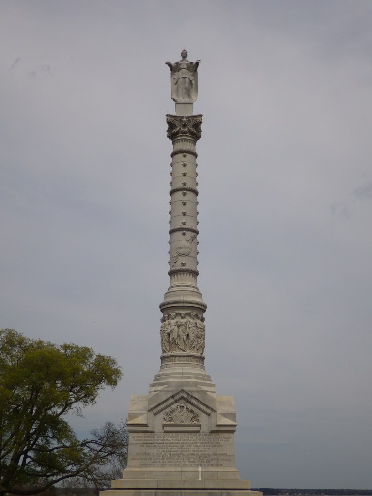
Historic structures, Voorhees Archaearium, glass blowing demonstrations, French ship replica, cannons, historic trails, Yorktown Victory Monument

Must-Do Activity

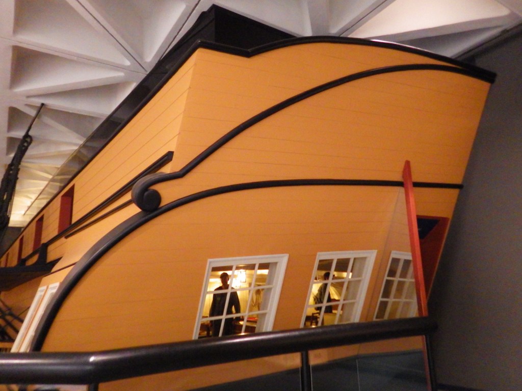
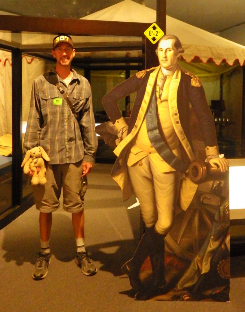
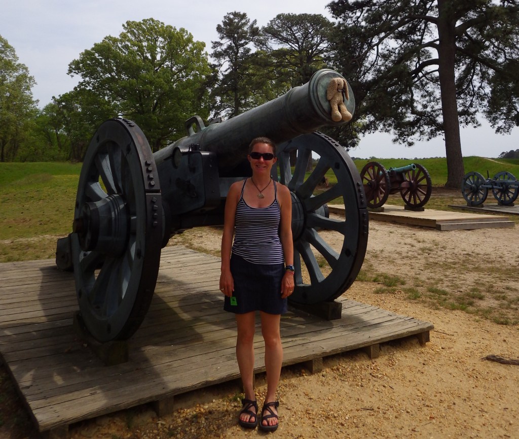
Remember back in 1777 in the aftermath of the battles of Saratoga when the French said they would help kick the British out of the 13 colonies?  Well, not much happened until nearly four years later when Admiral de Grasse defeated the British fleet at the mouth of the Chesapeake Bay.  The ships were unable to resupply General Charles Cornwallis’ troops at Yorktown, who then faced a siege by the combined American and French forces.  Inside the National Park Service visitor center at Yorktown is a replica of a French ship that you can walk aboard without getting seasick.  It also has a replica of General George Washington’s battlefield tent.  Outside, cannons abound along the auto tour.

Best Trail

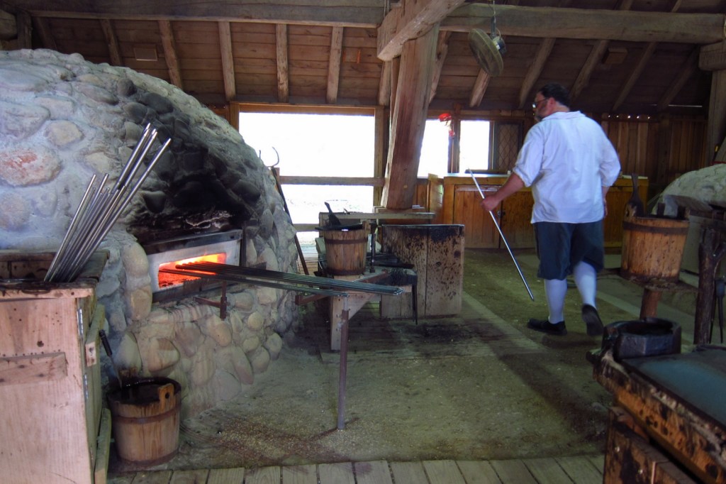
Five miles of trails wind through Old Towne and New Towne in Jamestown, Virginia.  There is an entry fee charged, since most of this section of the park is run by the non-profit organization Preservation Virginia.  This includes admission to the excellent Voorhees Archaearium, a museum built atop the foundation of the historic statehouse.  Do not miss the reproduction glassblowing house.  This area also contains portions of the Washington-Rochambeau Revolutionary War National Historic Trail and Captain John Smith Chesapeake National Historic Trail.

Instagram-worthy Photo

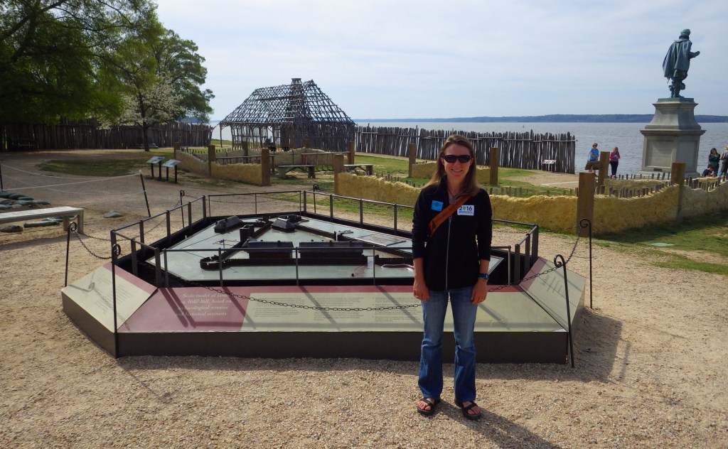
The original 1607 James Fort was triangular in shape and, of course, had cannons facing the James River.
Peak Season

Summer, though it can be muggy

Hours

https://www.nps.gov/colo/planyourvisit/hours.htm

Fees

Visiting Yorktown is $10 per person or free with the America the Beautiful pass, but entering Jamestown requires a payment of $20 per person or $5 per person with the America the Beautiful pass.  There is a separate entry fee for nearby Jamestowne Settlement living history museum , but it is free to walk the streets of Colonial Williamsburg (more info on our other travel blog).

Road Conditions

All roads paved

Camping

There is no camping permitted within the park, but several private campgrounds can be found in the area, as well as numerous hotels since you will probably want to spend more than a day given the park’s proximity to Colonial Williamsburg.

Explore More – When an “ill” General Cornwallis sent his second-in-command to formally surrender his 8,000 troops, General George Washington was insulted and deferred the honor of accepting to whom?
Cowpens National Battlefield

Overview

In 1780, there were 8,000 British troops in South Carolina and Georgia, but none were as feared as the 270 cavalry under Colonel Banastre Tarleton.  Following an attack at Waxhaws where his men inflicted 75% casualties on the retreating Patriots, he became known as “Bloody Ban” and a slaughter of surrendering soldiers was known as giving “Tarleton’s quarter.”  After the major American victory at nearby Kings Mountain, the British were also defeated here on January 17, 1781 as they retreated to Yorktown, Virginia. 

Highlights

Museum, Battlefield Trail, U.S. Memorial Monument, Robert Scruggs house

Must-Do Activity

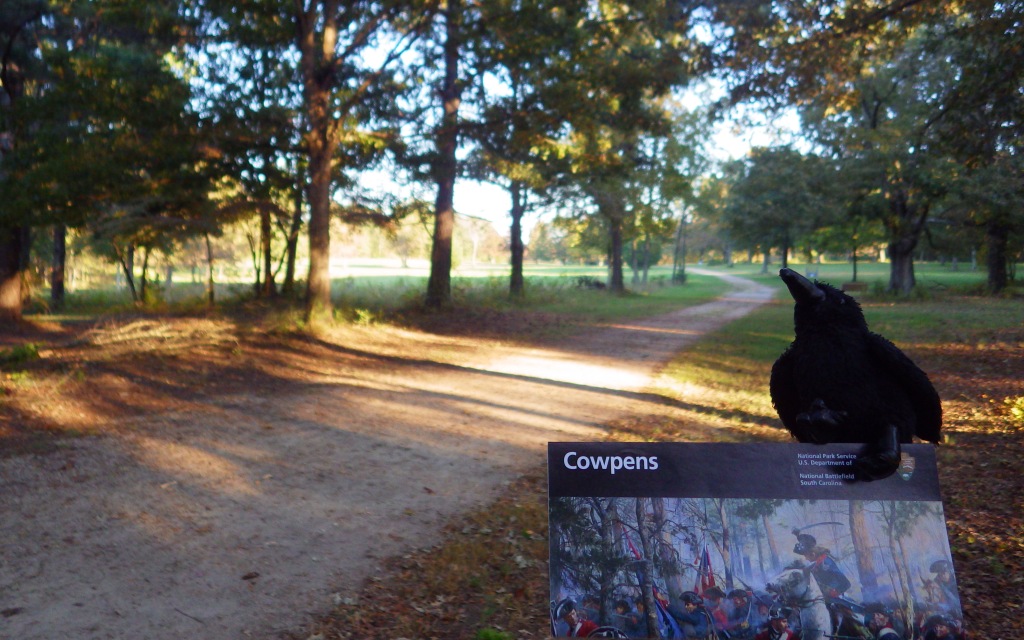
The fiberoptic map in the National Park Service visitor center provides a good understanding of this 20-minute battle.  Following the Patriot victory at Kings Mountain, Colonel Tarleton was sent to capture a Patriot army under Brigadier General Daniel Morgan.  On January 17, 1781, Morgan used his militiamen to sucker in the aggressive Tarleton, instructing them to fire two shots then retreat towards the lines of trained infantry and cavalry under Lieutenant Colonel William Washington (George’s second cousin).  The British took the bait and lost 80% of their force (110 killed, 229 wounded, and 600 captured), though Tarleton escaped. 

Best Trail

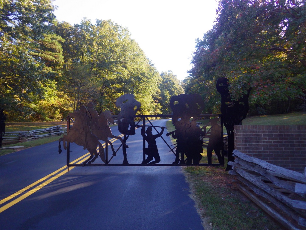
The Battlefield Trail partially follows the historic Green River Road and is 1.25 miles roundtrip from the visitor center.  The auto tour route closes at 4:30 p.m. but after hours parking is available at the trailhead off Highway 11, which also accesses the Battlefield Trail.  It is part of the Overmountain Victory National Historic Trail, which has 87 of its 330 miles publicly accessible, starting in Tennessee.  There is also a 2-mile nature trail near the picnic area.

Instagram-worthy Photo

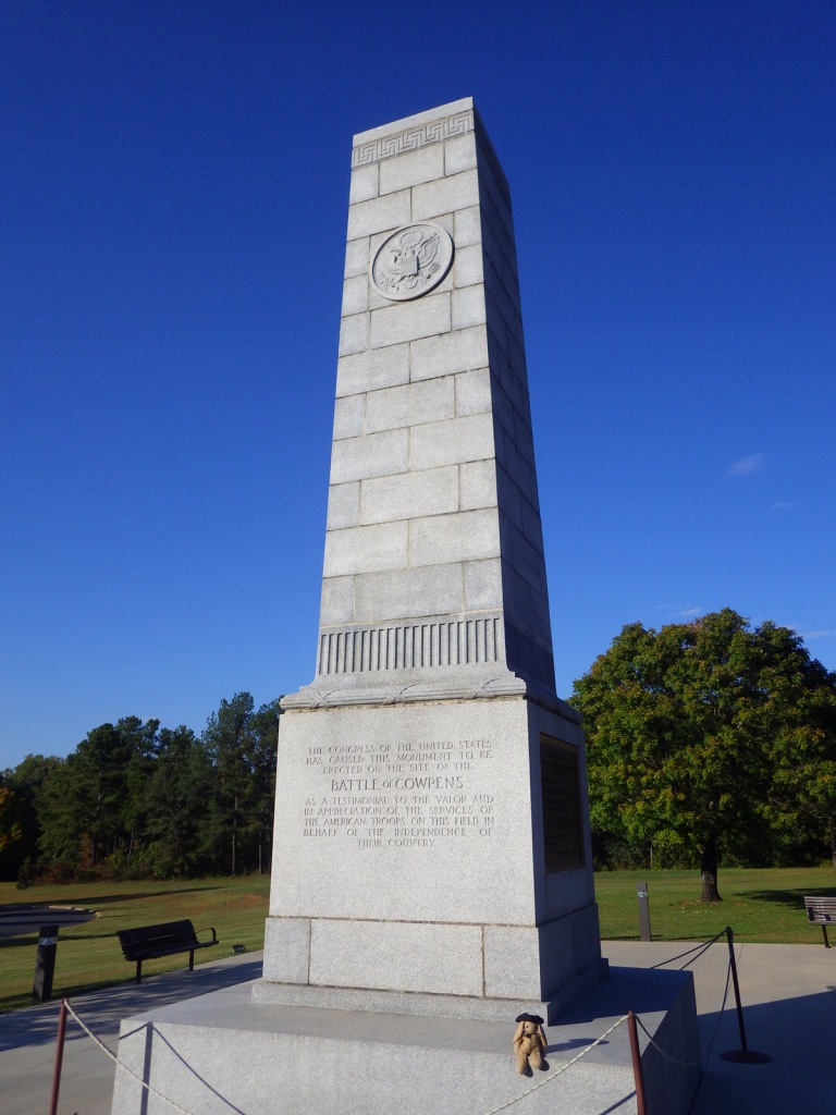
A 1932 monument marks the beginning of the Battlefield Trail.

Peak Season

Summer

Hours

https://www.nps.gov/cowp/planyourvisit/hours.htm

Fees

None

Road Conditions

All roads paved

Camping

Kings Mountain State Park is 30 miles east of the park next to Kings Mountain National Military Park.

Explore More – What locally grown fruit provided the inspiration for the painted water tower in Gaffney, South Carolina?
Hagerman Fossil Beds National Monument

Overview

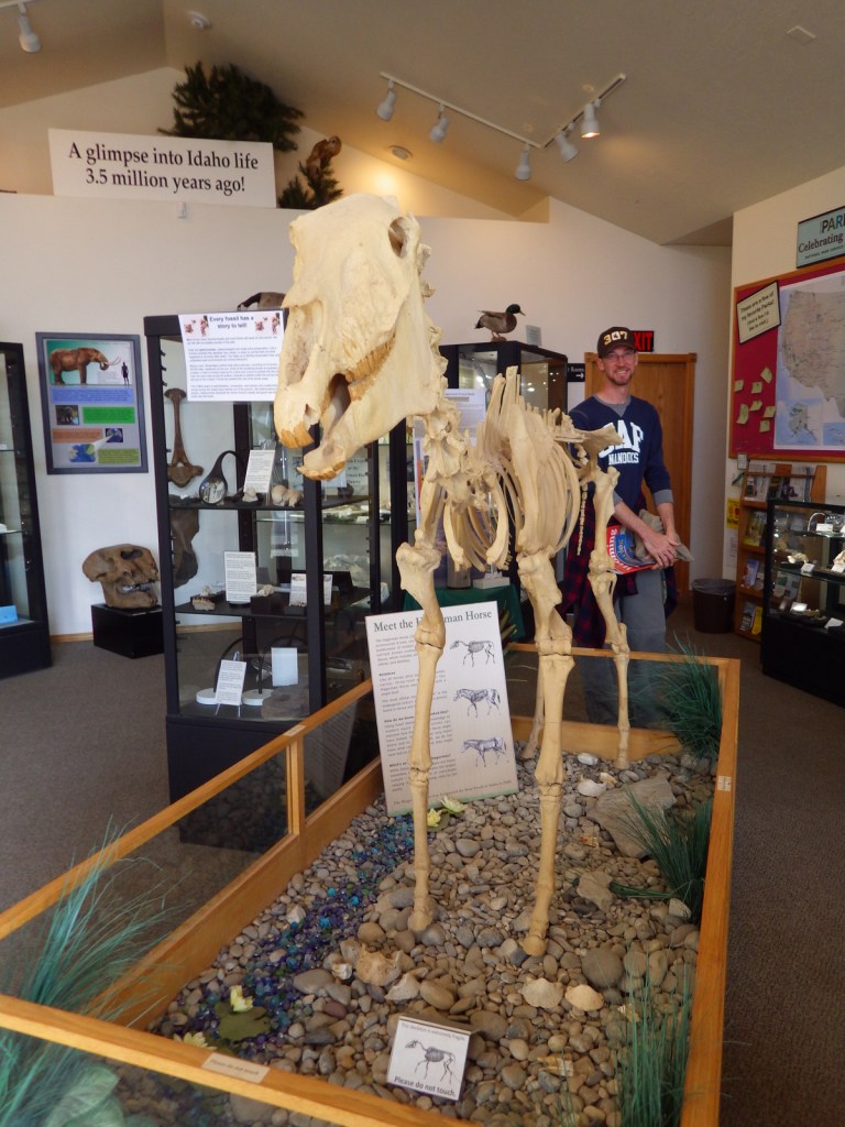
More than 3.5-million years ago, this section of southern Idaho was on a floodplain of a giant lake.  Lush grasslands and forests attracted camels, llamas, mastodons, zebra-like horses, and a variety of birds.  Their fossils were not discovered until 1928, on the steep bluffs on the west bank of the Snake River, now Lower Salmon Falls Reservoir.

Highlights

Museum, film, Snake River Overlook, Oregon Trail Overlook

Must-Do Activity

Numerous mammal fossils from the Pliocene Epoch are on display at the National Park Service visitor center, located on the main drag in the small town of Hagerman, Idaho.  Scenic overlooks of the Snake River and Oregon Trail are located further south, but there is no public access to the fossil beds.

Best Trail

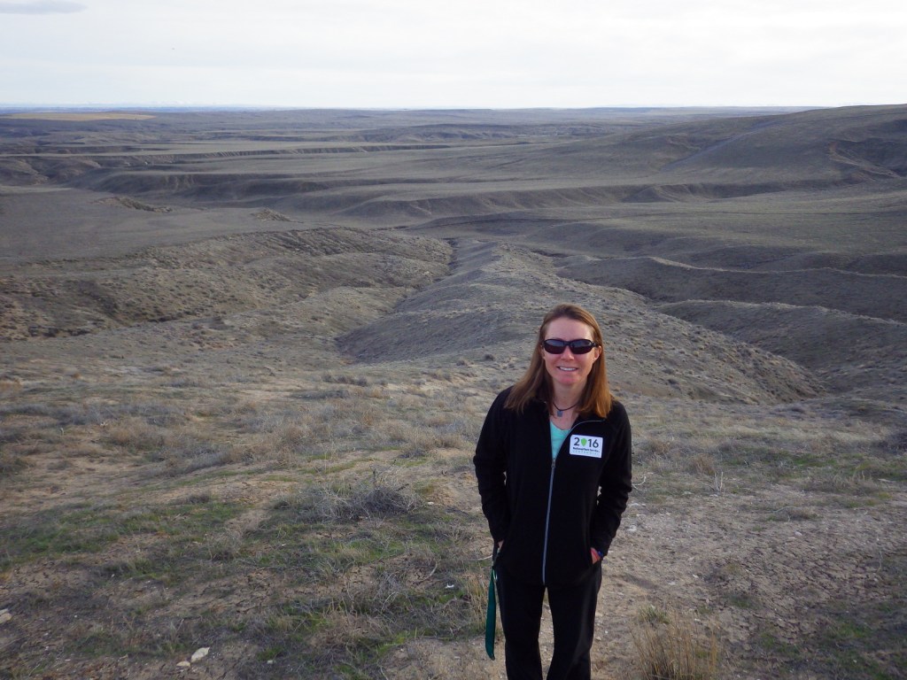
The 3-mile long Emigrant Trail parallels the Oregon National Historic Trail, which has wagon ruts accessible from both the Snake River Overlook and Oregon Trail Overlook (where there is also a half-mile interpretive trail).

Instagram-worthy Photo

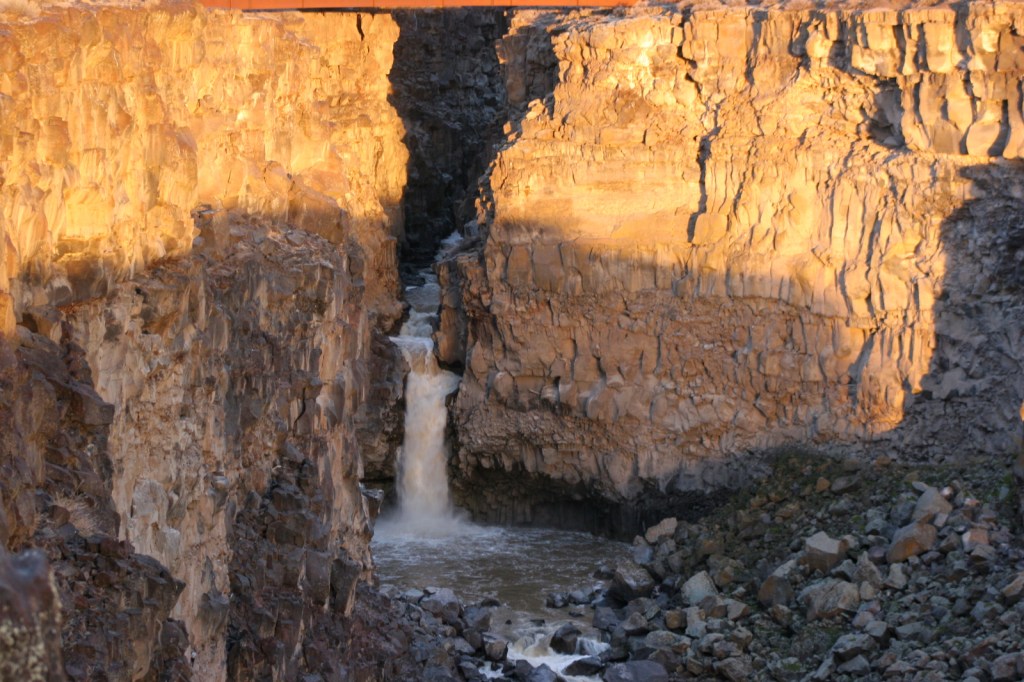
Interstate 84 passes directly over Malad Gorge State Park, north of Hagerman, Idaho.  Take the freeway exit and walk to the canyon rim to see the beautiful waterfall you missed from the bridge.

Peak Season

Summer

Hours

https://www.nps.gov/hafo/planyourvisit/visitor-center-operating-hours-seasons.htm

Fees

None for Hagerman Fossil Beds National Monument, but there is a day-use fee at Malad Gorge State Park.

Road Conditions

The main access roads are paved.  There is a one-lane bridge crossing the Snake River off Highway 30 that was closed during our visit so we took the Gridley Island Bridge instead.

Camping

There are places to camp along many sections of the Snake River, but not within the National Monument.

Explore More – How many complete skeletons of zebra-like horses were discovered within Hagerman Fossil Beds?

Tumacácori National Historical Park

Overview

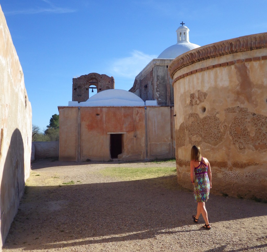
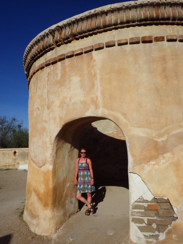
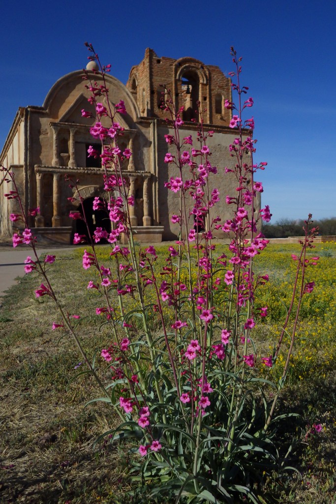
South of Tucson in Tubac, Arizona, San Cayetano de Tumacácori is a Spanish mission founded in 1691 by Padre Kino and abandoned in 1848.  It became a National Monument in 1908 when it was restored to its ruined state based on photographs dating from 1868.  Two additional mission ruins were added when it became a National Historical Park in 1990, but they are not open to the public except on special ranger-led tours January through March.

Highlights

Historic mission, historic museum (built in 1937)

Must-Do Activity

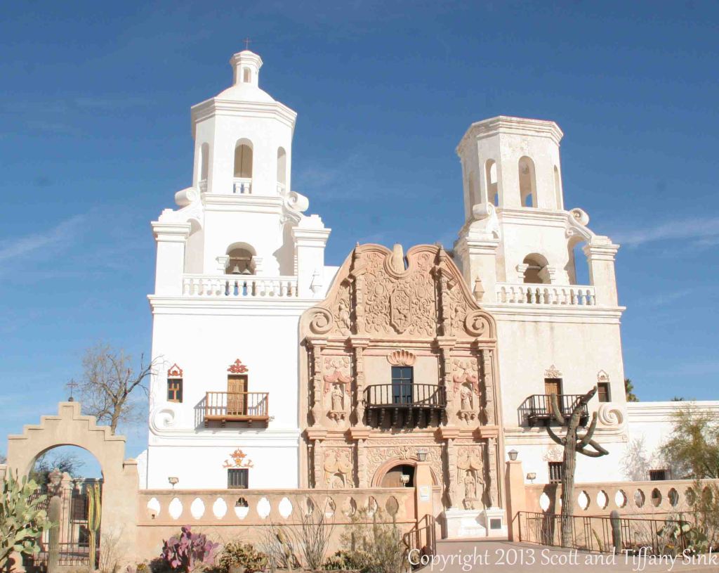
Jesuits, like the famous Padre Eusebio Kino, established more than 20 missions in this part of the Sonoran Desert in the late-1600s.  Some of the Pimas they were “serving” attacked in 1751, leading to the move of Tumacácori to its current location and the establishment of Tubac Presidio (now a State Park).   Mexico gained its independence from Spain in 1821 and the final phase of construction on the mission began two years later.  In 1853, the Gadsden Purchase brought this region into the United States of America.  When you visit the ruins of Tumacácori, consider a trip north to beautiful San Xavier del Bac, which is still an active church.

Best Trail

A 4-mile portion of the Juan Bautista de Anza National Historic Trail connects Tumacácori with Tubac Presidio State Historic Park, which offers a museum and an underground archaeological display.

Instagram-worthy Photo

At the end of the day in the winter months, trees surrounding the mission cast interesting shadows on its stucco walls.

Peak Season

Winter

Hours

https://www.nps.gov/tuma/planyourvisit/hours.htm

Fees

$7 per person or America the Beautiful pass

Road Conditions

All roads paved

Camping

Patagonia Lake State Park has more than 200 campsites northeast of Nogales, Arizona.

Explore More – Why was the Jesuit order expelled in 1767 and their missions assigned to Franciscan friars?

Pu‘uhonua o Hōnaunau National Historical Park

Overview

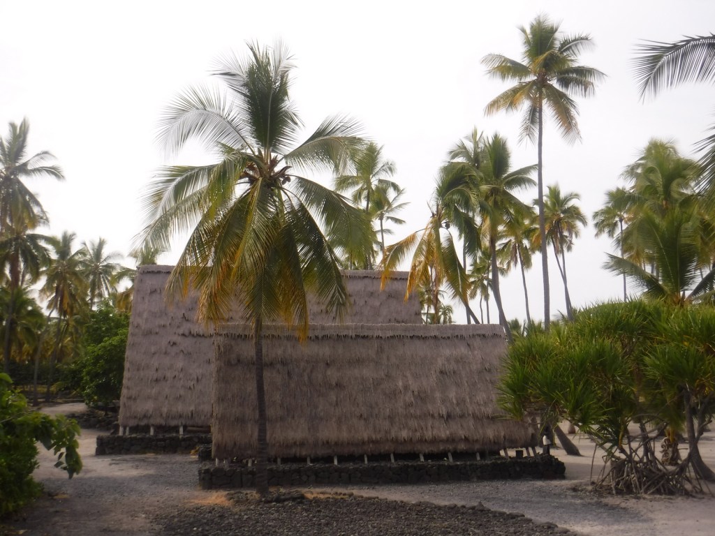
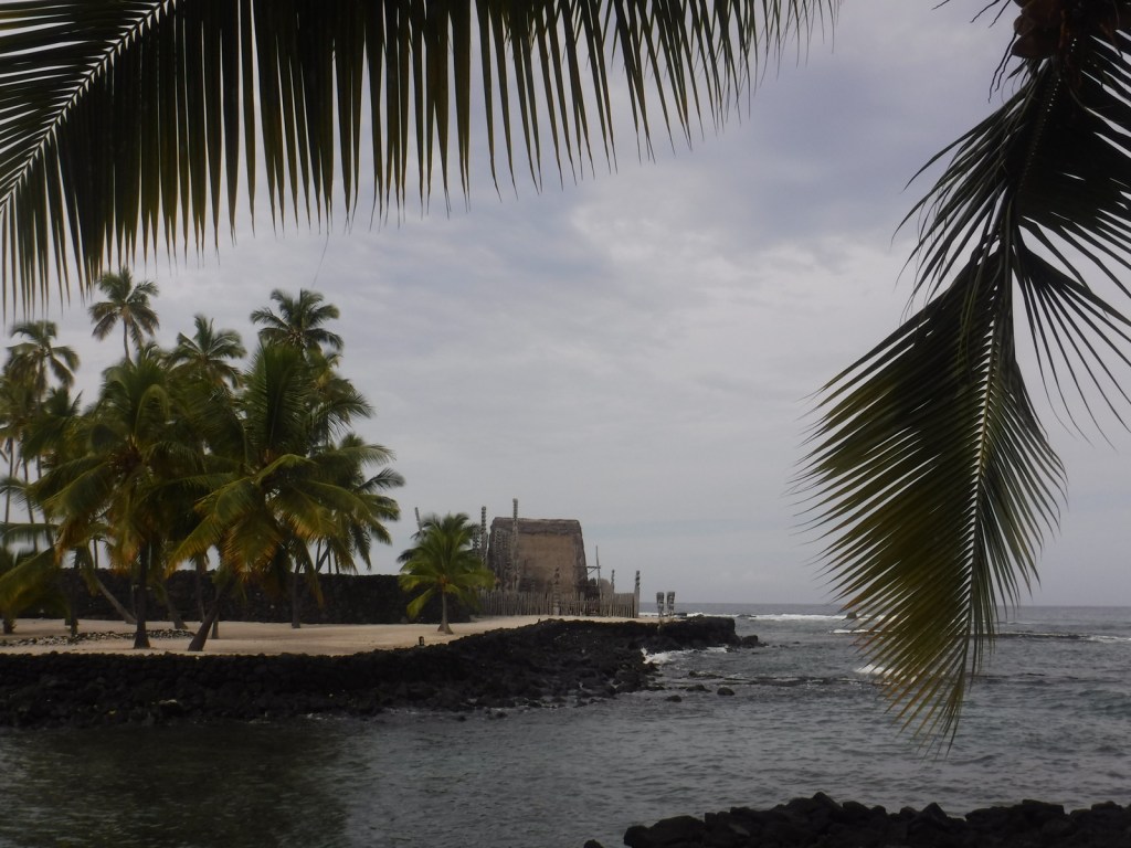
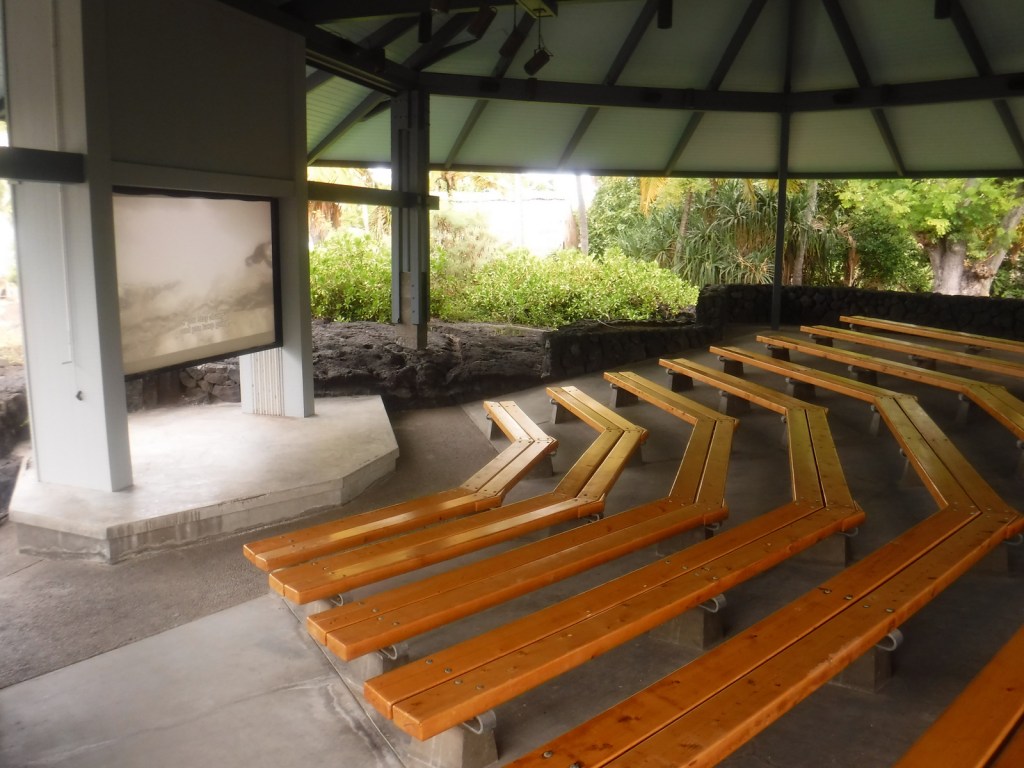
On the dry western side of the Big Island of Hawai‘i, south of the bustling port city Kailua-Kona, Pu‘uhonua o Hōnaunau National Historic Park is home to a reconstructed village that provides a glimpse into the daily life of the indigenous people hundreds of years ago.  The National Park Service (NPS) offers a visitor center, picnic area, and a festival held annually in July.

Highlights

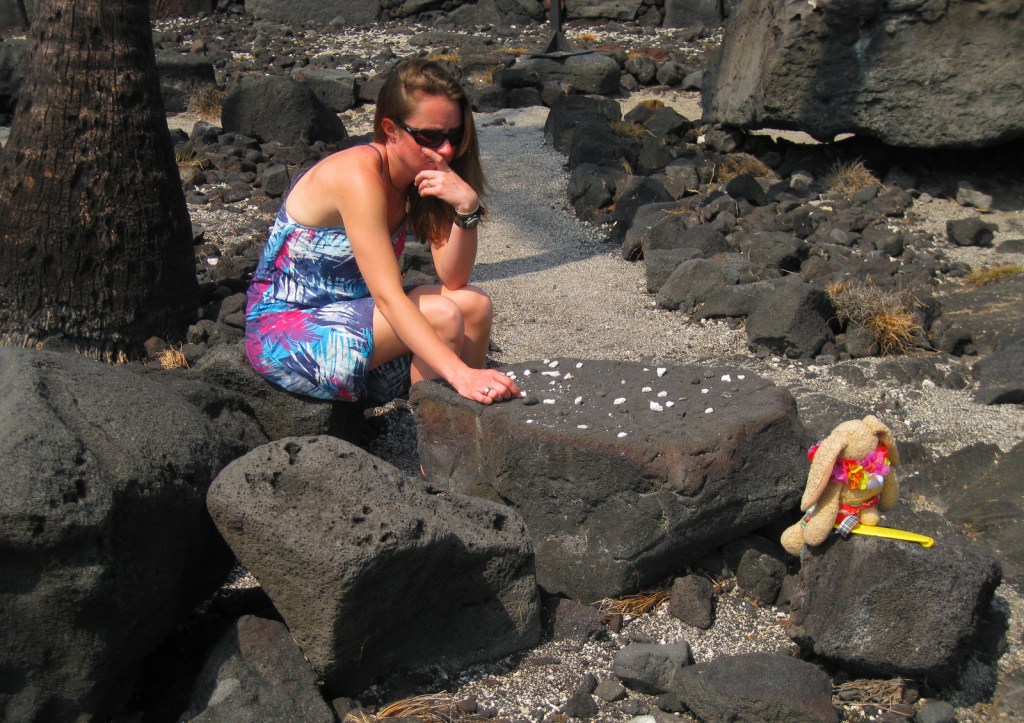
Hale o Keawe temple, kōnane game tables, fish ponds, Ki‘ilae village

Must-Do Activity

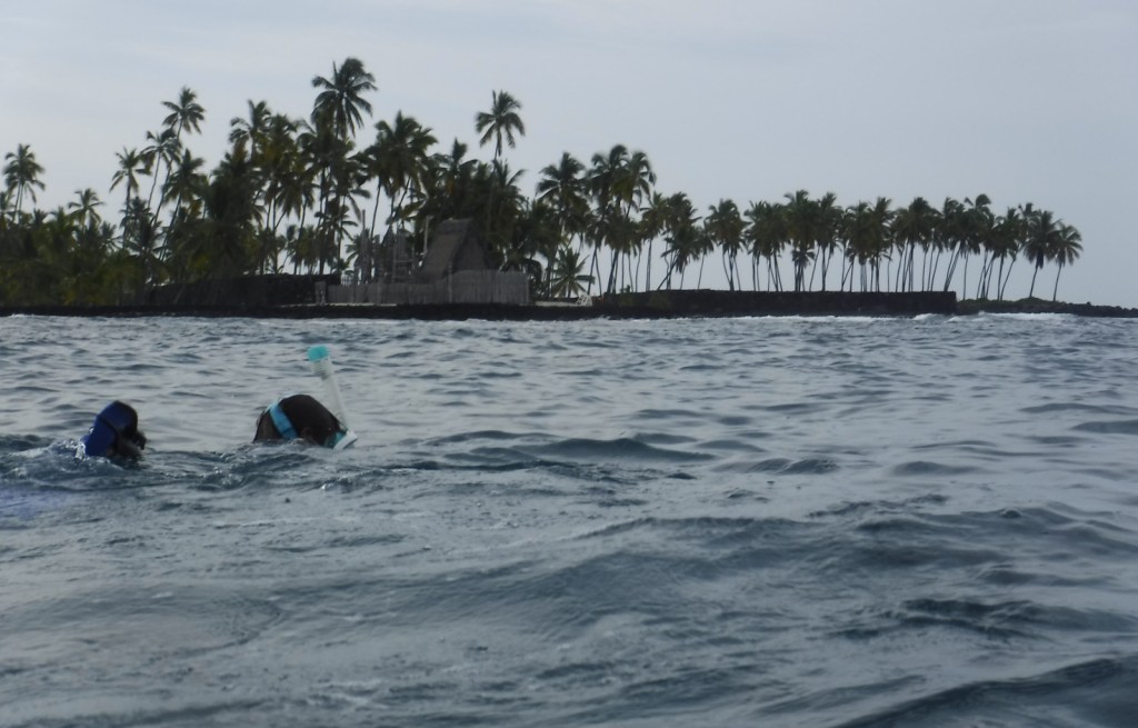
Adjacent to the popular snorkeling area dubbed “Two-Step,” this park sees its share of sea turtles.  Though these green sea turtles nest 800 miles to the northwest in the French Frigate Shoals, the well-known hula dance actually imitates the digging motions of a female turtle laying her eggs.  In the winter, watch for migrating humpback whales that spout and jump just offshore. 

Best Trail

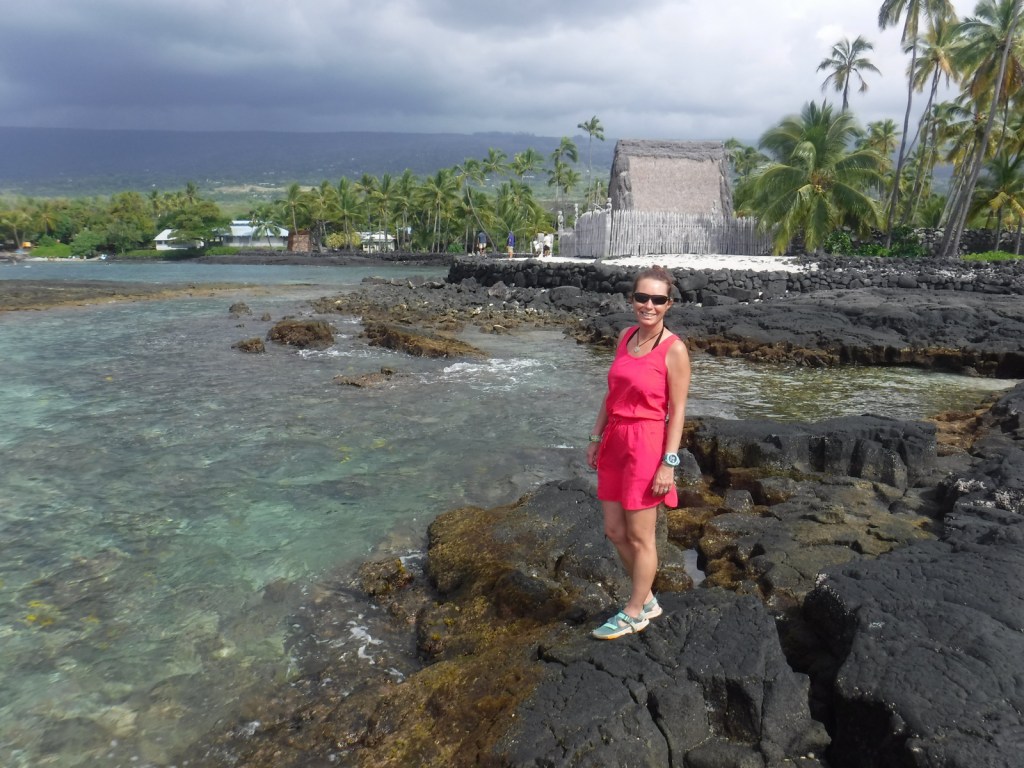
Pu‘uhonua o Hōnaunau was a “place of refuge” for vanquished warriors, noncombatants, and kapu (taboo) breakers to be absolved by a kahuna pule (priest) so they could return home in peace.  It was separated from the Royal Grounds by a 10-foot wall built in AD1550, which can be seen along the Ala Kahakai National Historic Trail that runs through the park to access Ki‘ilae village.

Instagram-worthy Photo

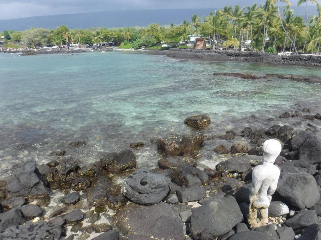
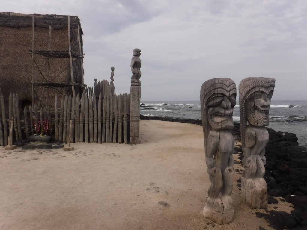
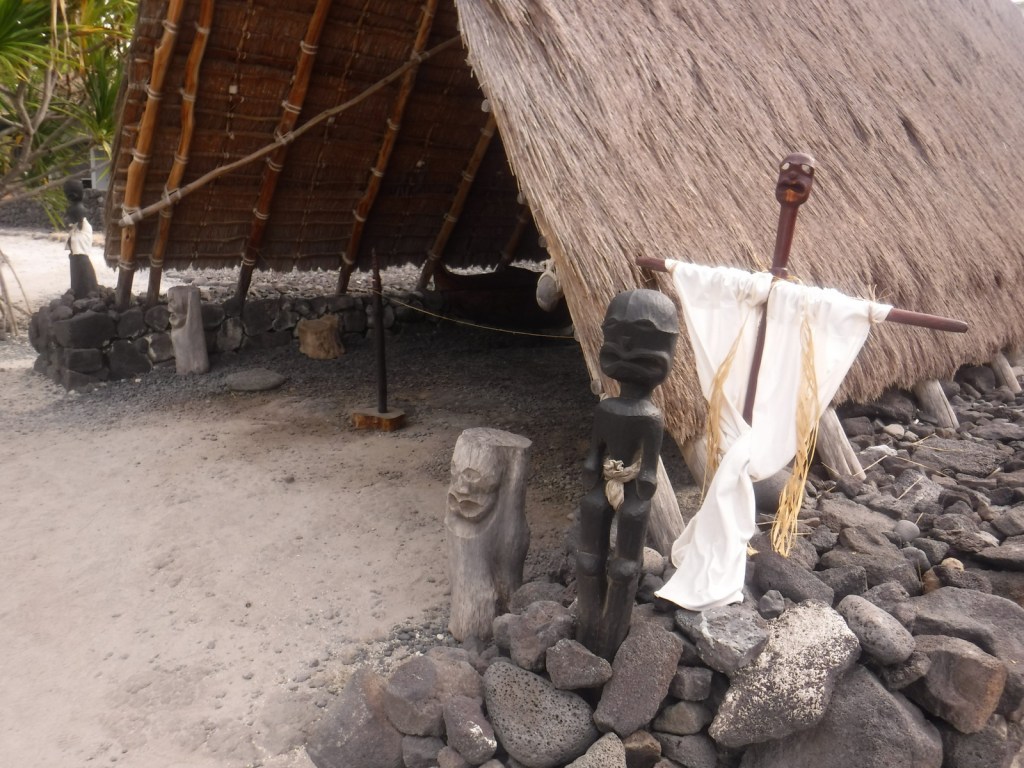
Carved wooden ki‘i are guardians of this place of refuge and stand next to this reconstruction of a temple and mausoleum that held the bones of 23 ali‘i (noble chiefs).  Ho‘okupu (offerings) were placed on the lele (tower) next to them.

Peak Season

The beach makes this spot popular year round

Hours

https://www.nps.gov/puho/planyourvisit/hours.htm

Fees

$15 per vehicle or America The Beautiful pass

Road Conditions

All roads paved

Camping

County and state parks on the leeward west coast of this island are great places to camp and relax under palm trees listening to the waves break.

Related Sites

Kaloko-Honokōhau National Historical Park (Hawai’i)

Pu‘ukoholā Heiau National Historic Site (Hawai’i)

Haleakalā National Park (Hawai’i)

Explore More – What was the most severe punishment for breaking a kapu (taboo), such as letting your shadow fall on Royal Grounds?