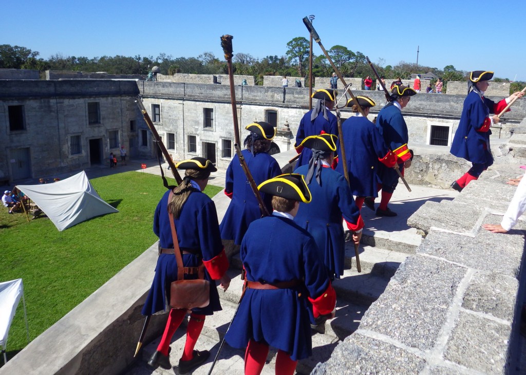
Tag Archives: museum

Palo Alto Battlefield National Historical Park

Palo Alto Battlefield National Historical Park

Texas

Managed by National Park Service

Established 1978

3,357 acres

Website: nps.gov/paal

Overview

The first battle of the Mexican–American War took place on May 9, 1846 north of the Rio Grande near present-day Brownsville, Texas.  General Zachary Taylor and a young Ulysses S. Grant (both future presidents) led U.S. troops during this engagement.  Originally established as a National Historic Site, it became Palo Alto Battlefield National Historical Park in 2009, then two years later an additional 38 acres were added in the heart of Brownsville to commemorate the Resaca de la Palma Battlefield.  Plus, a few earthen mounds remain of Fort Texas (later renamed Fort Brown) on the Rio Grande near a golf course on the campus of the University of Texas at Brownsville.

Since this is the only National Park Service (NPS) unit dedicated to the Mexican–American War, Palo Alto Battlefield National Historical Park will be one of the chapters in my new book American History 101, which tells the story of a nation through 101 sites in the NPS system.

Highlights

Museum, film, cannons, interpretive trail

Must-Do Activity

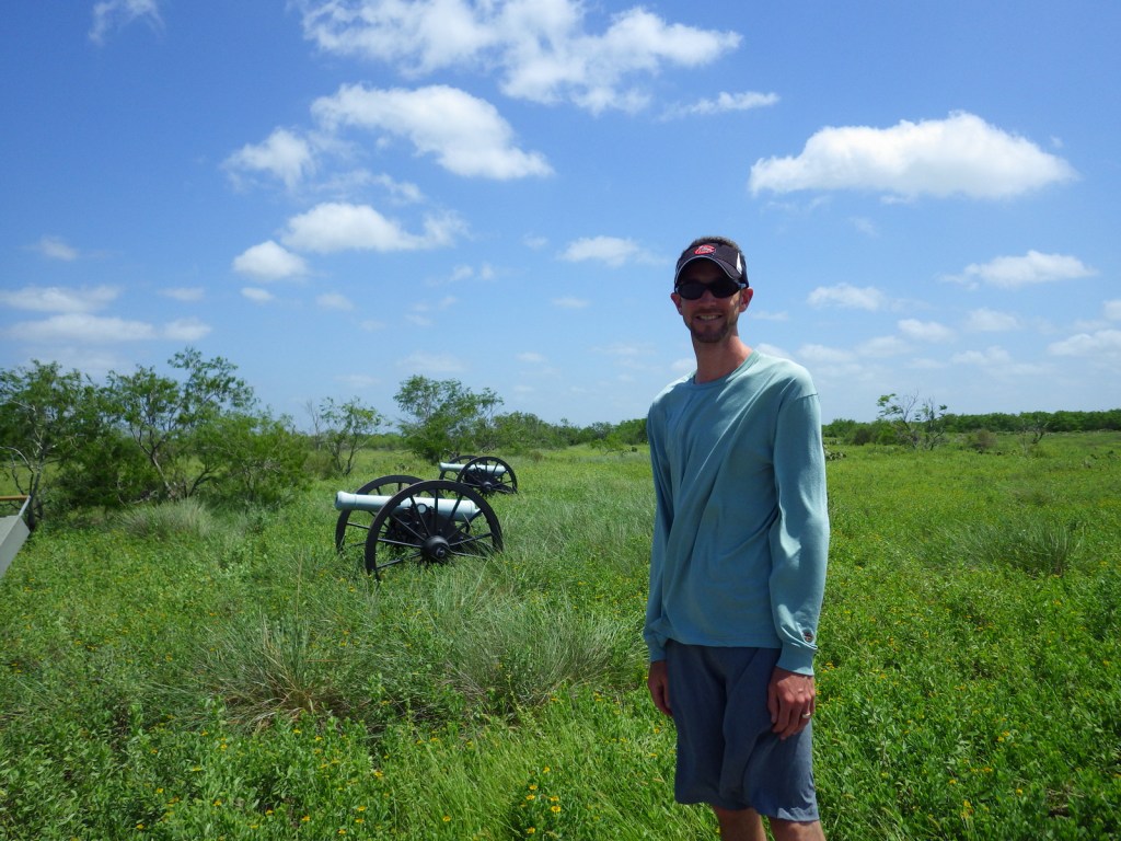
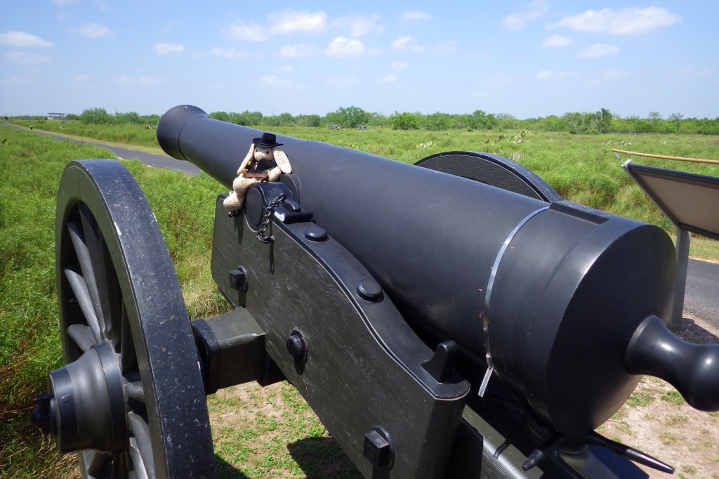
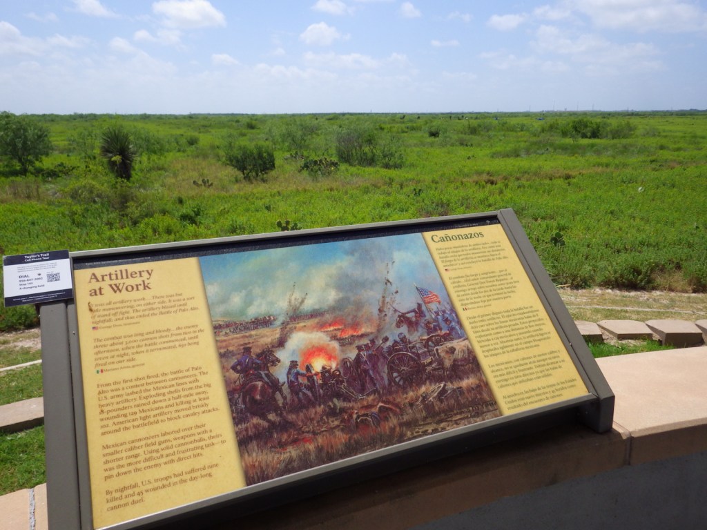
The 1846 battle was primarily an artillery conflict, so there are many cannons at Palo Alto Battlefield National Historical Park today showing how close the battle lines were.  This skirmish and a subsequent fight at Resaca de la Palma pushed Mexican troops back across the Rio Grande for the remainder of the two-year long war.  History buffs will also be interested in the Civil War history of this region, including the final battle of the war fought May 12-13, 1865 at Palmito Ranch.  Information about all of these sites can be found at the small yet nice (and air-conditioned) visitor center that opened here in 2003. 

Best Trail

A half-mile paved interpretive trail leads through the battlefield from the visitor center.  While here you can also learn about Harris’s hawks, horned lizards, javelinas, and other remarkable species that live in the area and the surrounding Laguna Atascosa National Wildlife Refuge.

Instagram-worthy Photo

If you make it to this remote southern corner of the United States, make it a point to take a guided tram tour through Resaca de la Palma State Park.  The park is a great place to see bird species found nowhere else in the country, like the great kiskadee (pictured) and rose-throated becard.

Peak Season

Spring and fall

Hours

https://www.nps.gov/paal/planyourvisit/hours.htm

Fees

None for the NPS site, but there is an admission fee at Resaca de la Palma State Park.

Road Conditions

All roads paved

Camping

There are several private campgrounds around Brownsville, Texas.

Related Sites

Chamizal National Memorial (Texas)

Padre Island National Seashore (Texas)

Amistad National Recreation Area (Texas)

Nearest National Park
Big Bend

Explore More – Who was the president that campaigned on the platform of extending the U.S. border to the Pacific Ocean and subsequently annexed Texas in 1845 (fomenting the Mexican-American War)?
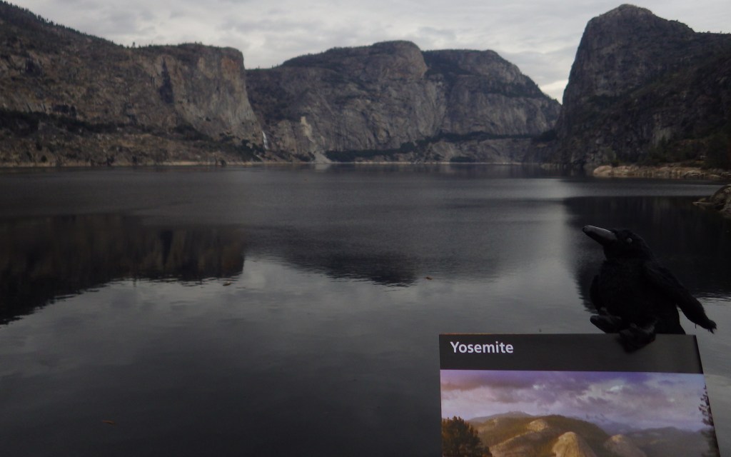
Yosemite National Park

Yosemite National Park

California

Managed by National Park Service

Established 1890

747,956 acres

Website: nps.gov/yose

Overview

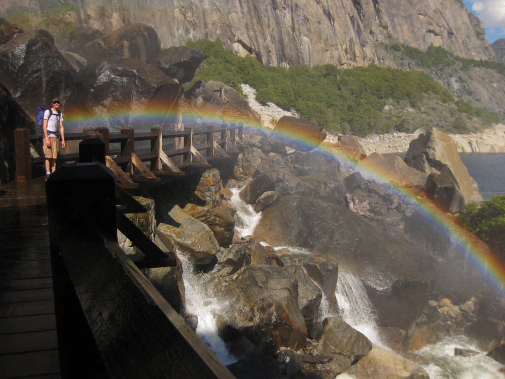
Given its 4-million annual visitors, it can be hard to practice social distancing at Yosemite National Park.  In the summer, it can even be difficult to find parking in bustling Yosemite Valley.  The legendary valley is home to El Capitan and Half Dome, rock formations known around the world, as well as countless waterfalls.  There are places to find solitude in the popular park, though.

Know someone who loves National Parks? Gift them our travel guide A Park to Yourself: Finding Solitude in America’s 63 National Parks. 

Highlights

Yosemite Valley, Glacier Point, Tuolumne Meadows, Mariposa Grove

Must-Do Activity

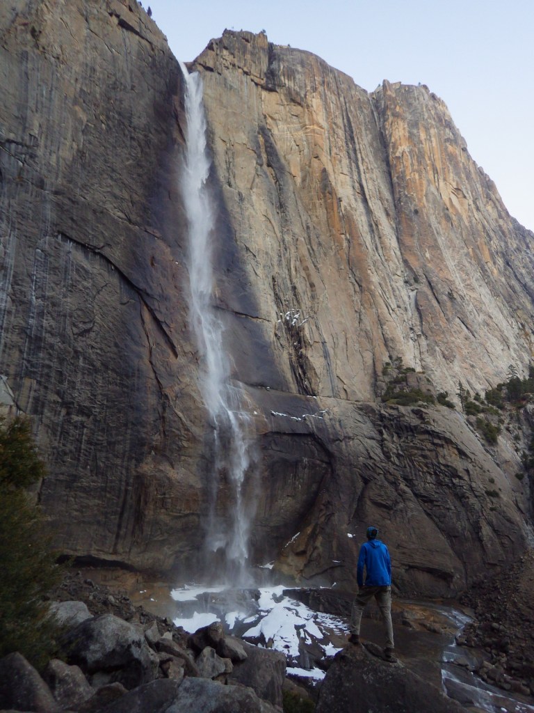
When entering Yosemite Valley on Highway 41 from the south, your first sight of the valley is stunning upon emerging from a long tunnel.  You simply have to stop at the iconic Tunnel View parking area.  Although the forest here is denser than in the past, the scene has not changed much since President Lincoln signed the bill to preserve this area in 1864.  While the Yosemite Valley can get incredibly busy during peak tourist season, hike a mile up a trail and you might find a solitary place to enjoy one of the numerous waterfalls.

Best Trail

Formerly a paved tram route, the trail through the Mariposa Grove of giant sequoia trees is a major highlight outside Yosemite Valley.  We especially enjoyed snowshoeing there in the winter.

Instagram-worthy Photo

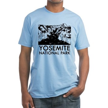
From May to November, you can drive up to Glacier Point for great views into Yosemite Valley from the cliffs above.  We chose this overlook for our original logo of Yosemite National Park (see below).

Peak Season

Summer

Hours

https://www.nps.gov/yose/planyourvisit/hours.htm

Fees

$35 per vehicle or America the Beautiful pass

Road Conditions

All roads are paved, even the one that goes over 9,945-foot high Tioga Pass, which crosses the Sierra Nevada and is closed in the winter (as is Glacier Point Road, though it remains open to cross-country skiers).

Camping

There are multiple campgrounds within the park and some take reservations, but there are no RV hookups except outside the park.

Related Sites

Sequoia National Park (California)

Devils Postpile National Monument (California)

Whiskeytown National Recreation Area (California)

This design we created to celebrate Yosemite National Park is available on a variety of products at Cafe Press and Amazon.

Explore More – John Muir wrote extensively about the Yosemite Valley and Sierra Nevada, but many of his readers do not know he was an immigrant to America; in what country was he born?

Know someone who loves National Parks? Gift them our travel guide A Park to Yourself: Finding Solitude in America’s 63 National Parks. 

Cape Cod National Seashore

Overview

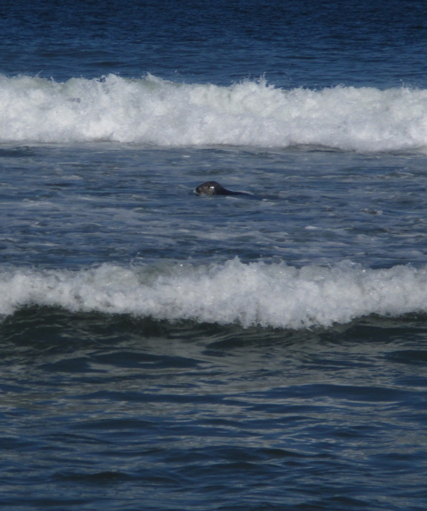
Northernmost of the ten National Seashores in the National Park Service (NPS) system, Cape Cod National Seashore includes 40 miles of shoreline on the narrow glacial deposit that sticks out of Massachusetts like a fishhook.  Its 44,000 acres are interspersed with towns that manage (and charge for) many of the beaches along the coastline.  Watch for gray seals playing in the surf, which attract predators like great white sharks to the shallows.  Even if you want to swim in the chilly ocean water, if you see gray seals it is best to go somewhere else so you are not confused with food.

Highlights

Nauset Light, Three Sisters Lighthouses, Old Harbor Life-Saving Station Museum

Must-Do Activity

The best place to start your visit is Salt Pond Visitor Center, which has a museum run by the NPS.  Located right off Highway 6, it is also a great place to stretch your legs on the Buttonbush or Nauset Marsh Trails.  From there, it is a short drive to Coast Guard or Nauset Light Beaches that offer tram service when parking lots are full.  Lifeguards are on duty at specific beaches from late June through Labor Day, which should give an indication of the short season when it is actually warm enough to enjoy the water.

Best Trail

There are 12 self-guided trails within Cape Cod National Seashore, plus three bicycle trails up to 7.3 miles long.  Our favorite was the one-mile Beech Forest Trail near Race Point Beach at the tip of Cape Cod.

Instagram-worthy Photo

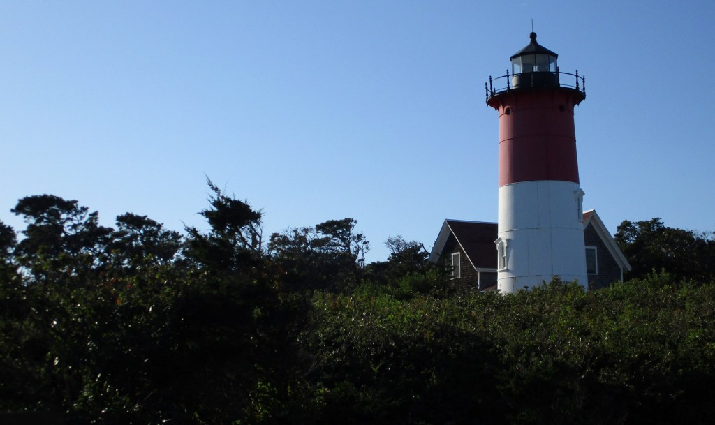
If the red-striped Nauset Light looks familiar that is because you might have seen it on a bag of potato chips at the grocery store.  While there, take a walk over to the Three Sisters Lighthouses that have also been moved inland from their original eroding clifftop locations.

Peak Season

Summer

Hours

https://www.nps.gov/caco/planyourvisit/hours.htm

Fees

$25 per vehicle or America the Beautiful pass

Road Conditions

All roads are paved and a permit from the Oversand Station at Race Point is required for those wishing to drive on designated sand routes.

Camping

No camping is offered through the NPS, but there are several private and state-run campgrounds, plus countless motels and vacation rentals.

Related Sites

Salem Maritime National Historic Site (Massachusetts)

Boston Harbor Islands National Recreation Area (Massachusetts)

Fire Island National Seashore (New York)

Explore More –Who was the famous Italian inventor that transmitted transatlantic radio signals from massive antennas on Cape Cod in the early 1900s?

Blackstone River Valley National Historical Park

Overview

Roger Williams National Memorial used to be the only National Park Service (NPS) site in Rhode Island, but in 2014 Blackstone River Valley was upgraded from an affiliated National Heritage Corridor to a National Historical Park.  It commemorates the industrial revolution that changed the landscape of America during the 1800s, as well as the immigration of factory workers that changed its face.  Another NPS-affiliated point of interest in the tiny state is Touro Synagogue National Historic Site (admission charged) in Newport.

Highlights

Slater Mill Historic Site, Blackstone River State Park, Statue of Hope Fountain

Must-Do Activity

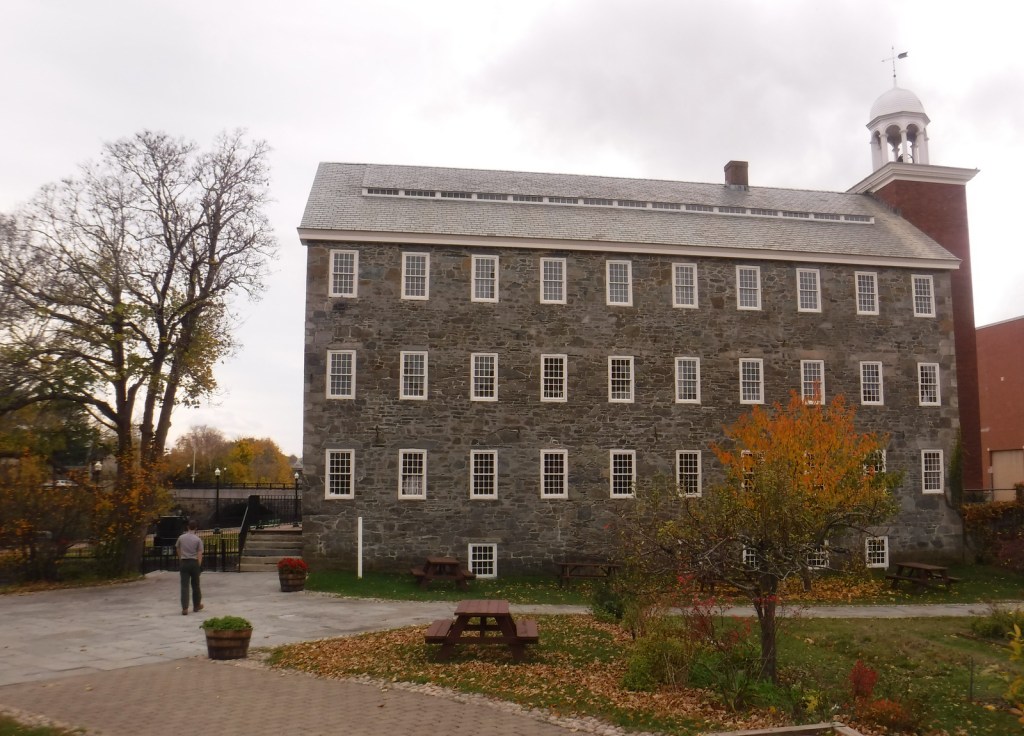
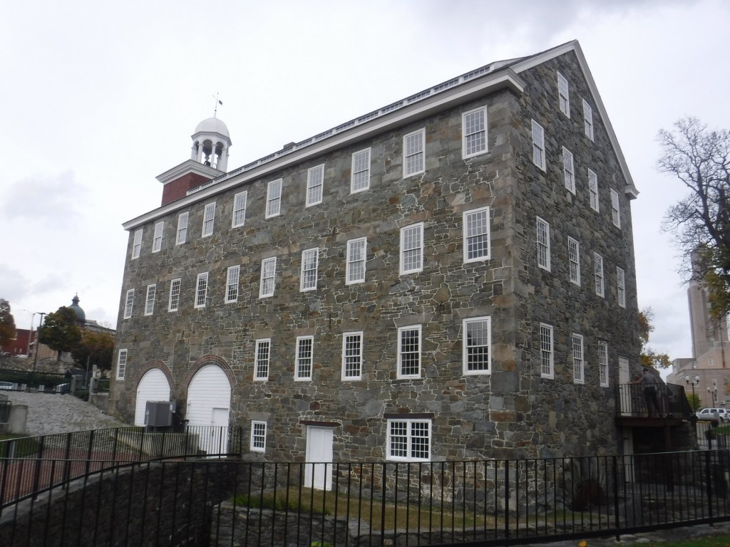
Formerly known as the John H. Chafee Blackstone River Valley National Heritage Corridor, this NPS unit remains a partnership between government agencies, non-profits, and businesses in Massachusetts and Rhode Island.  Its centerpiece is the nation’s first successful water-powered cotton-spinning factory: Slater Mill Historic Site in Pawtucket, Rhode Island, which offers free ranger-guided tours.  By 1880, this “hardest working river” was one of the most polluted in the country, but has recovered so that canoeists can float portions of its 46-mile length.

Best Trail

Blackstone River State Park has a free museum (inside the Kelly House) and a section of the canal that followed the river.  There are 3.5 miles of the 14-mile (of a planned 48) paved bikeway along the canal towpath within this Rhode Island park.  Another section of trail lies within Blackstone River and Canal Heritage State Park near River Bend Farm in Massachusetts.

Instagram-worthy Photo

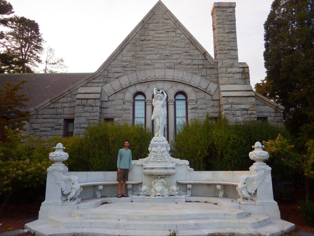
The Statue of Hope Fountain was dedicated on November 12, 1904 in the town of Hopedale, Massachusetts.  It was carved from Carrara marble by Waldo Story and was once considered the “finest drinking fountain in the United States.” We found it a little creepy looking.

Peak Season

Summer

Hours

https://www.nps.gov/blrv/planyourvisit/hours.htm

Fees

None

Road Conditions

All major roads paved

Camping

Rhode Island State Parks manages several campgrounds, including George Washington State Campground in Chepachet.

Related Sites

Roger Williams National Memorial (Rhode Island)

New Bedford Whaling National Historical Park (Massachusetts)

Lowell National Historical Park (Massachusetts)

Explore More – When did English immigrant Samuel Slater take over a failed mill to start the first successful water-powered cotton-spinning factory in America?

Castillo de San Marcos National Monument

Overview

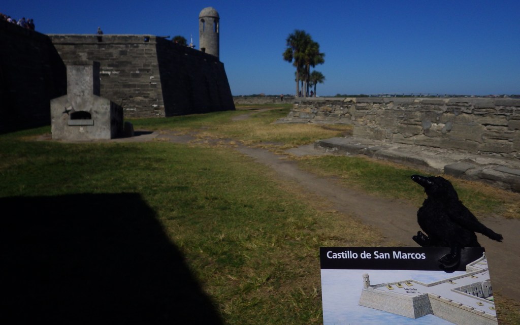
Established in 1565, St. Augustine, Florida is the oldest permanent European settlement in the continental U.S.  Its centerpiece is Castillo de San Marcos National Monument, a four-sided stone fort dating back to 1672.  In 1702, the British army unsuccessfully besieged the Spanish fort for 50 days, but before they left they burned the entire city.  This explains why the oldest house in St. Augustine dates to this time period and why this charming coastal village is still laid out on a grid of narrow streets, as it was one of the first master-planned communities in America.

Highlights

Historic fort, museum, cannon demonstrations

Must-Do Activity

The National Park Service (NPS) charges an admission fee to enter the fort, but you can watch the cannon-firing demonstrations atop its corner bastion for free from outside.  Costumed reenactors shout orders in Spanish before firing the big cannon.  There is only one entrance to the Castillo de San Marcos across a wide moat.  Your entrance fee also allows you to explore the powder magazines and interpretive displays inside the fort’s walls.

Best Trail

None

Instagram-worthy Photo

The Castillo was renamed Fort Marion by the U.S. military in 1825, when the final changes were made to the coquina structure.  In 1924 it was named a National Monument along with nearby Fort Matanzas.

Peak Season

Winter

Hours

https://www.nps.gov/casa/planyourvisit/hours.htm

Fees

$15 per person or America the Beautiful pass

Road Conditions

Roads are paved, but there is limited pay parking at the fort, which is especially an issue on busy weekends.

Camping

Anastasia State Park is located just south of St. Augustine, Florida with access to a nice beach.

Related Sites

Fort Caroline National Memorial (Florida)

Fort Matanzas National Monument (Florida)

Dry Tortugas National Park (Florida)

Explore More – Which nation controlled the fort during the American Revolution until its conclusion in 1783 (Hint: It was called Fort St. Mark at the time)?