Tag Archives: lodge

Glacier Bay National Park and Preserve

Overview

Gustavus, Alaska (population 400) is the gateway to Glacier Bay National Park and Preserve, and can be accessed by air or ferry from Juneau.  Some large cruise ships include the bay on their Inside Passage itinerary, but to get closer and really hear the thunder of cracking Margerie Glacier it is better to take a daytrip aboard a smaller catamaran from the docks at Glacier Bay Lodge.  Guided multi-day kayaking trips are one way to have a wild experience more similar to John Muir’s 1879 exploration detailed in his book Travels in Alaska.  Learn more in our guidebook to the 62 National Parks, A Park to Yourself: Finding Adventure in America’s National Parks (available on Amazon).

Highlights

Sitakaday Narrows, Bartlett River Trail, Margerie Glacier, wildlife

Must-Do Activity

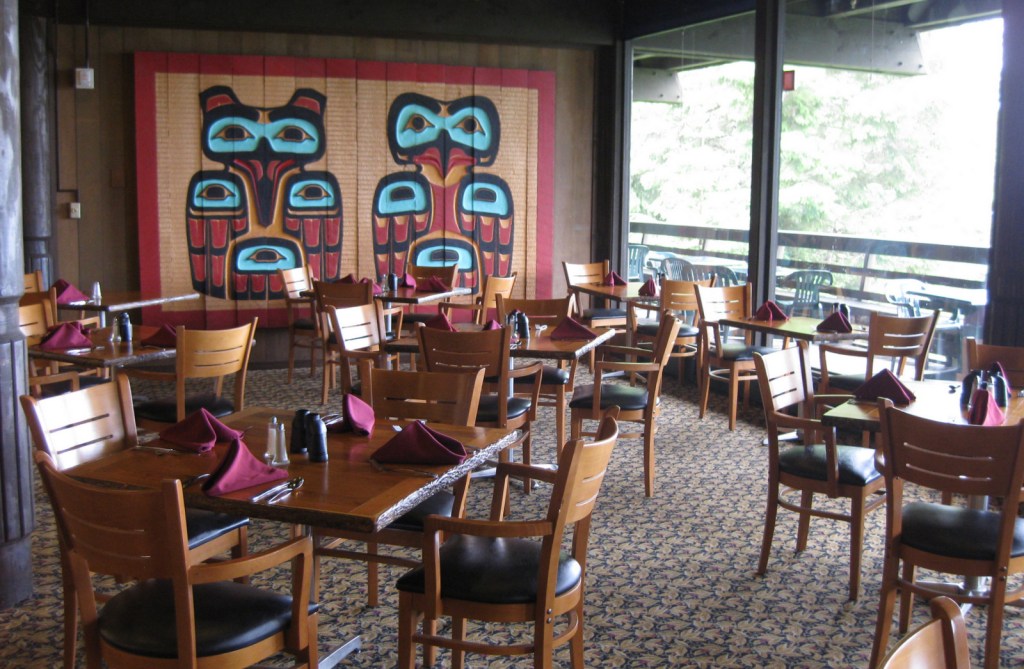
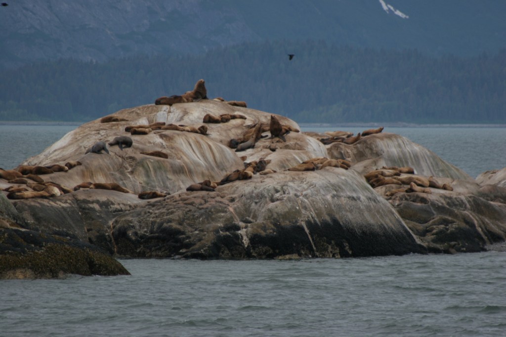
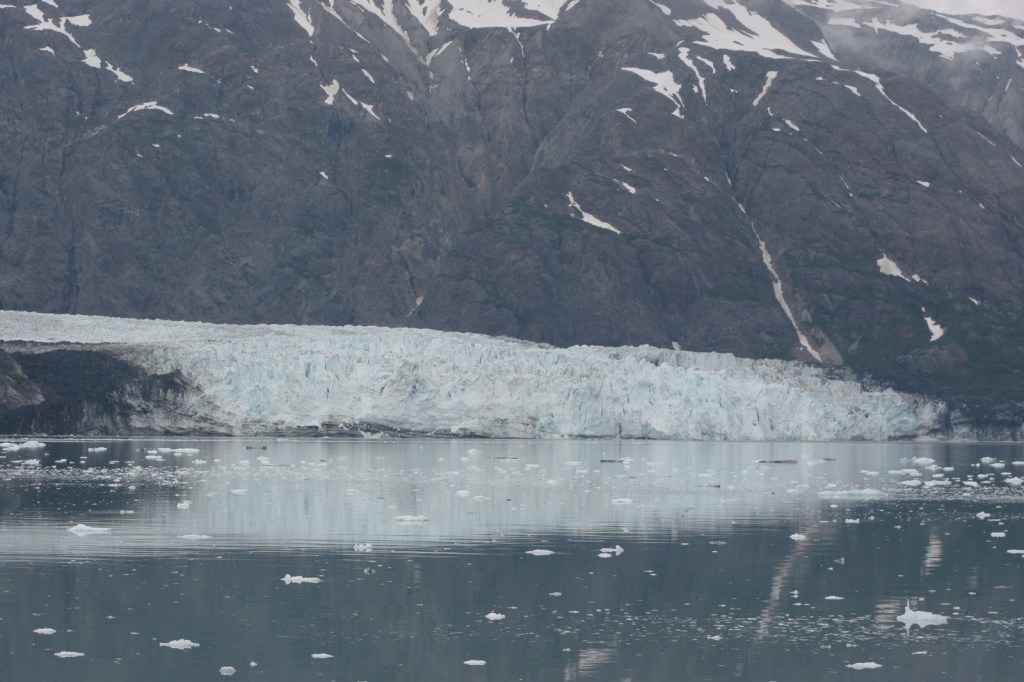
Vacation packages including boat tickets, meals, and a private cabin at the lodge are reasonably priced through the National Park Service (NPS) concessionaire.  Shortly after departing on your all-day boat tour you will see humpback whales in the Sitakaday Narrows, then up the bay are Steller sea lions, harbor seals, and a variety of seabirds.  By scanning the cliffs you might also spot mountain goats and brown bears.  The boat turns around at Margerie Glacier, a great place to witness the thunderous calving of a tidewater glacier, an experience that should be on everyone’s bucket list. 

Best Trail

On the days you are not on the boat, there are several trails around Glacier Bay Lodge or you can explore the shoreline at low tide to see an assortment of marine life. 

Instagram-worthy Photo

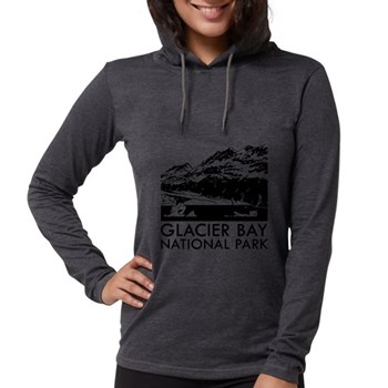
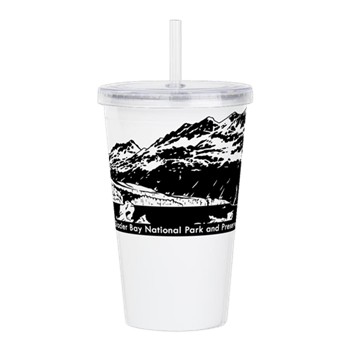
Lamplugh Glacier is not as active as Margerie Glacier, but may be more photogenic, which is why we chose to depict it in our logo for this National Park (see below).

Peak Season

Summer

Hours

https://www.nps.gov/glba/planyourvisit/hours.htm

Fees

None for the park, but this is not a cheap place to visit.

Road Conditions

There are no roads to Gustavus, Alaska, which is only accessible by airplane or boat.  The NPS always sends a bus from Glacier Bay Lodge to pick up arrivals at the airport and ferry terminal.

Camping

There is a free NPS campground near Glacier Bay Lodge if you bring your own supplies. 

Related Sites

Sitka National Historical Park (Alaska)

Wrangell-St. Elias National Park and Preserve (Alaska)

Kenai Fjords National Park (Alaska)

This design we created to celebrate Glacier Bay National Park is available on a variety of products at Cafe Press and Amazon.

Explore More – Glacier Bay was named a National Monument in 1925 and was expanded to become the largest NPS site (at the time) in 1939, but when was it finally designated a National Park?

We are a participant in the Amazon Services LLC Associates Program, an affiliate advertising program designed to provide a means for us to earn fees by linking to Amazon.com and affiliated sites.
Yosemite National Park

Yosemite National Park

California

Managed by National Park Service

Established 1890

747,956 acres

Website: nps.gov/yose

Overview

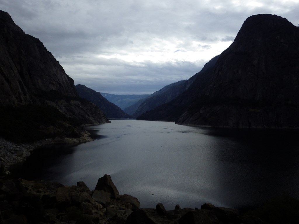
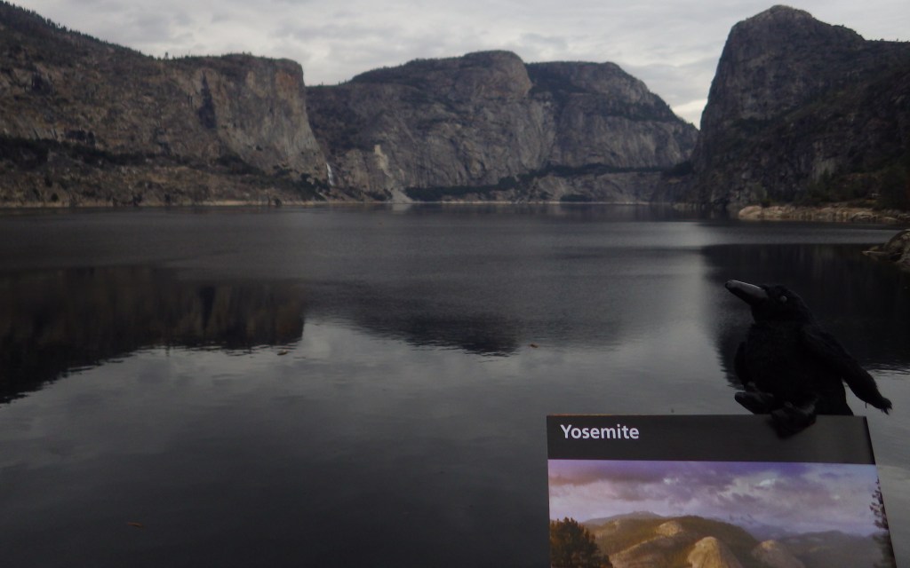
Given its 4-million annual visitors, it can be hard to practice social distancing at Yosemite National Park.  In the summer, it can even be difficult to find parking in bustling Yosemite Valley.  The legendary valley is home to El Capitan and Half Dome, rock formations known around the world, as well as countless waterfalls.  There are places to find solitude in the popular park, though.

Know someone who loves National Parks? Gift them our travel guide A Park to Yourself: Finding Solitude in America’s 63 National Parks. 

Highlights

Yosemite Valley, Glacier Point, Tuolumne Meadows, Mariposa Grove

Must-Do Activity

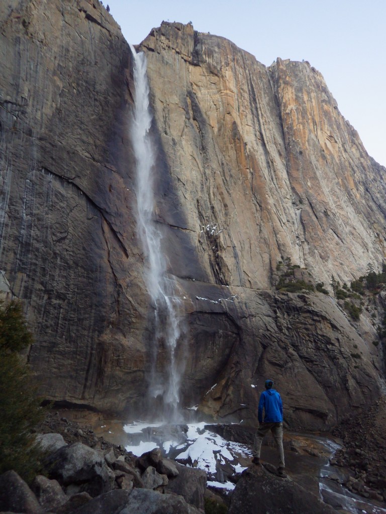
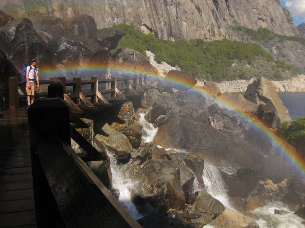
When entering Yosemite Valley on Highway 41 from the south, your first sight of the valley is stunning upon emerging from a long tunnel.  You simply have to stop at the iconic Tunnel View parking area.  Although the forest here is denser than in the past, the scene has not changed much since President Lincoln signed the bill to preserve this area in 1864.  While the Yosemite Valley can get incredibly busy during peak tourist season, hike a mile up a trail and you might find a solitary place to enjoy one of the numerous waterfalls.

Best Trail

Formerly a paved tram route, the trail through the Mariposa Grove of giant sequoia trees is a major highlight outside Yosemite Valley.  We especially enjoyed snowshoeing there in the winter.

Instagram-worthy Photo

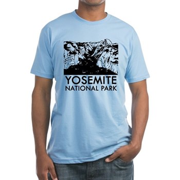
From May to November, you can drive up to Glacier Point for great views into Yosemite Valley from the cliffs above.  We chose this overlook for our original logo of Yosemite National Park (see below).

Peak Season

Summer

Hours

https://www.nps.gov/yose/planyourvisit/hours.htm

Fees

$35 per vehicle or America the Beautiful pass

Road Conditions

All roads are paved, even the one that goes over 9,945-foot high Tioga Pass, which crosses the Sierra Nevada and is closed in the winter (as is Glacier Point Road, though it remains open to cross-country skiers).

Camping

There are multiple campgrounds within the park and some take reservations, but there are no RV hookups except outside the park.

Related Sites

Sequoia National Park (California)

Devils Postpile National Monument (California)

Whiskeytown National Recreation Area (California)

This design we created to celebrate Yosemite National Park is available on a variety of products at Cafe Press and Amazon.

Explore More – John Muir wrote extensively about the Yosemite Valley and Sierra Nevada, but many of his readers do not know he was an immigrant to America; in what country was he born?

Know someone who loves National Parks? Gift them our travel guide A Park to Yourself: Finding Solitude in America’s 63 National Parks. 

Oregon Caves National Monument and Preserve

Overview

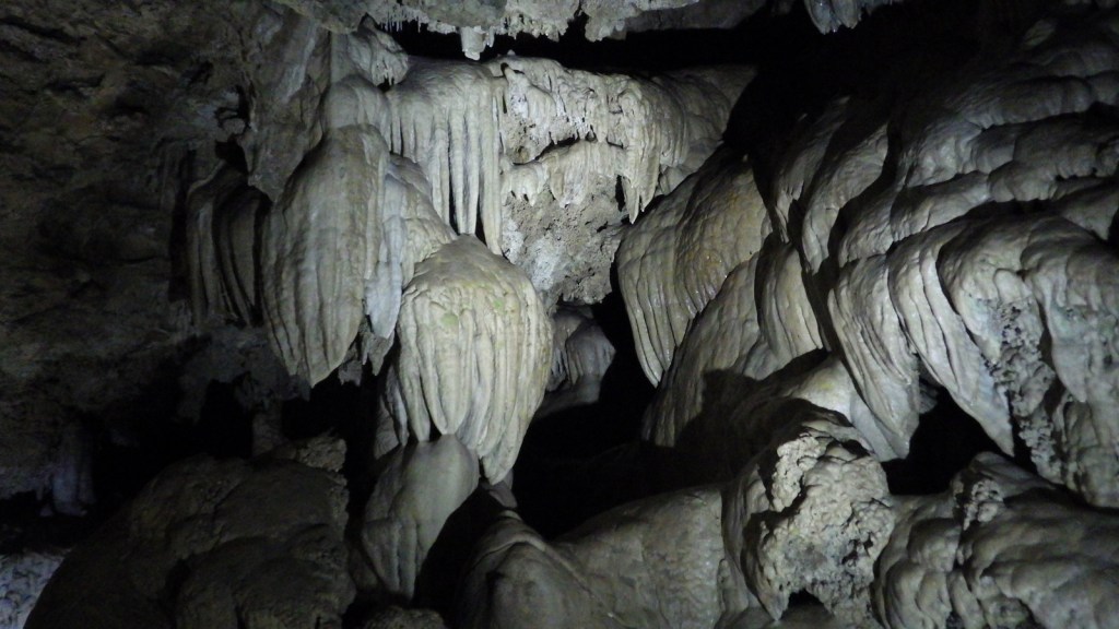
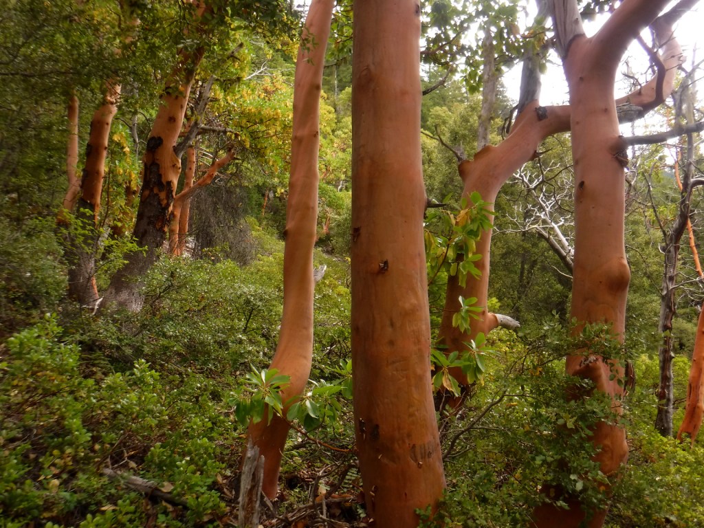
In the remote southwest corner of Oregon, this marble cave system has been federally protected since 1909.  The Civilian Conservation Corps (CCC) worked extensively on the trail system and chateau-style lodge in the 1930s.  In 2014, an additional 4,000 acres were added to preserve the surrounding old-growth forests, the most biodiverse conifer-dominated ecosystem in the world.

Know someone who loves exploring new National Monuments? Gift them our book Monumental America: Your Guide to All 138 National Monuments that is available for sale on Amazon.com.

Highlights

Cave tours, Oregon Caves Chateau, Big Tree, Mt. Elijah

Must-Do Activity

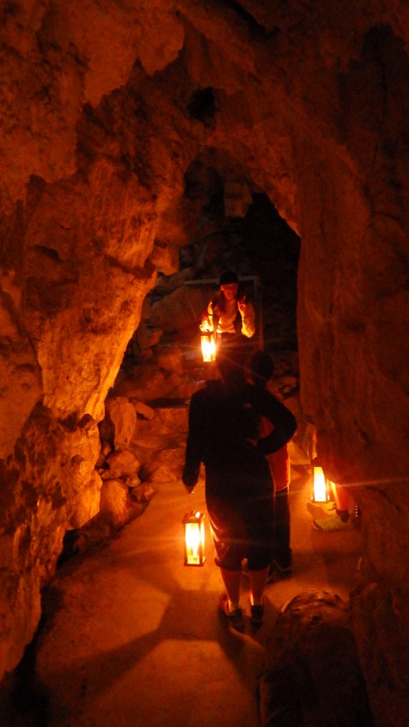
The Oregon Caves Chateau is currently closed for renovation, but is scheduled to reopen to guests in 2021.  That means the main reason to visit is to take a tour inside the cave, but bundle up because it remains a brisk 44°F year round.  The standard tour is 90 minutes, has a height requirement of 42 inches, and includes 500 stairs, which can be strenuous at 4,000 feet in elevation.  In the summer, a candlelight tour, off-trail “wild caving” tour, and family-friendly tour (for those with small children) are also offered.

Best Trail

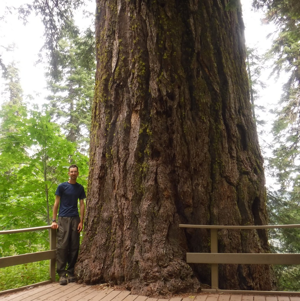
The Bigelow Lakes-Mt. Elijah Loop Trail covers 9.2 miles and gains 2,390 feet in elevation while providing the best views of the surrounding mountains.  At a minimum, you should try to hike the Big Tree Trail 2.6 miles roundtrip to the largest diameter Douglas-fir tree in Oregon.

Instagram-worthy Photo

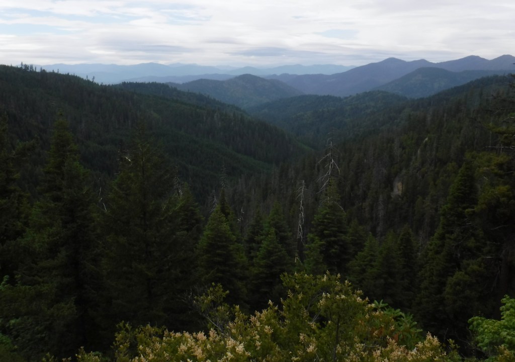
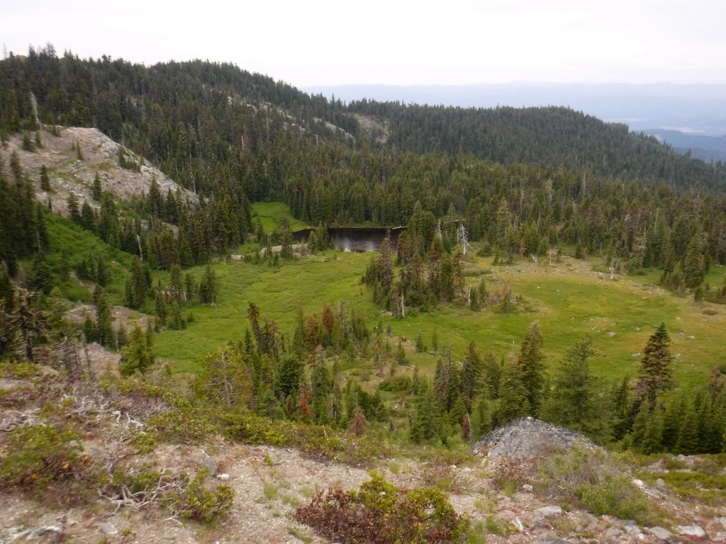
After your cave tour exits far uphill from its entrance, continue on the Cliff Nature Trail for a great view of the lush Siskiyou Mountains.

Peak Season

Summer, since cave tours are only offered from late March through November.

Hours

https://www.nps.gov/orca/planyourvisit/hours.htm

Fees

There is no entrance fee to the park, but there is a charge for all cave tours (which can be reserved in advance).

Road Conditions

The paved entry road is winding and climbs steeply.  Most surrounding Forest Service roads are unpaved and one climbs to provide access near the top of the Bigelow Lakes-Mt. Elijah Loop Trail.

Camping

Cave Creek Campground is located 4 miles from the cave entrance.  Trailers are only permitted at Grayback Campground, further down the hill.

Related Sites

John Day Fossil Beds National Monument (Oregon)

Newberry National Volcanic Monument (Oregon)

Fremont National Forest (Oregon)

Nearest National Park

Crater Lake

Explore More – Which native conifer tree provided the siding for the Oregon Caves Chateau?

Learn more about the other 137 National Monuments in our book Monumental America: Your Guide to All 138 National Monuments

Mount Rainier National Park

Mount Rainier National Park

Washington

Managed by National Park Service

Established 1899

236,381 acres

Website: nps.gov/mora

Overview

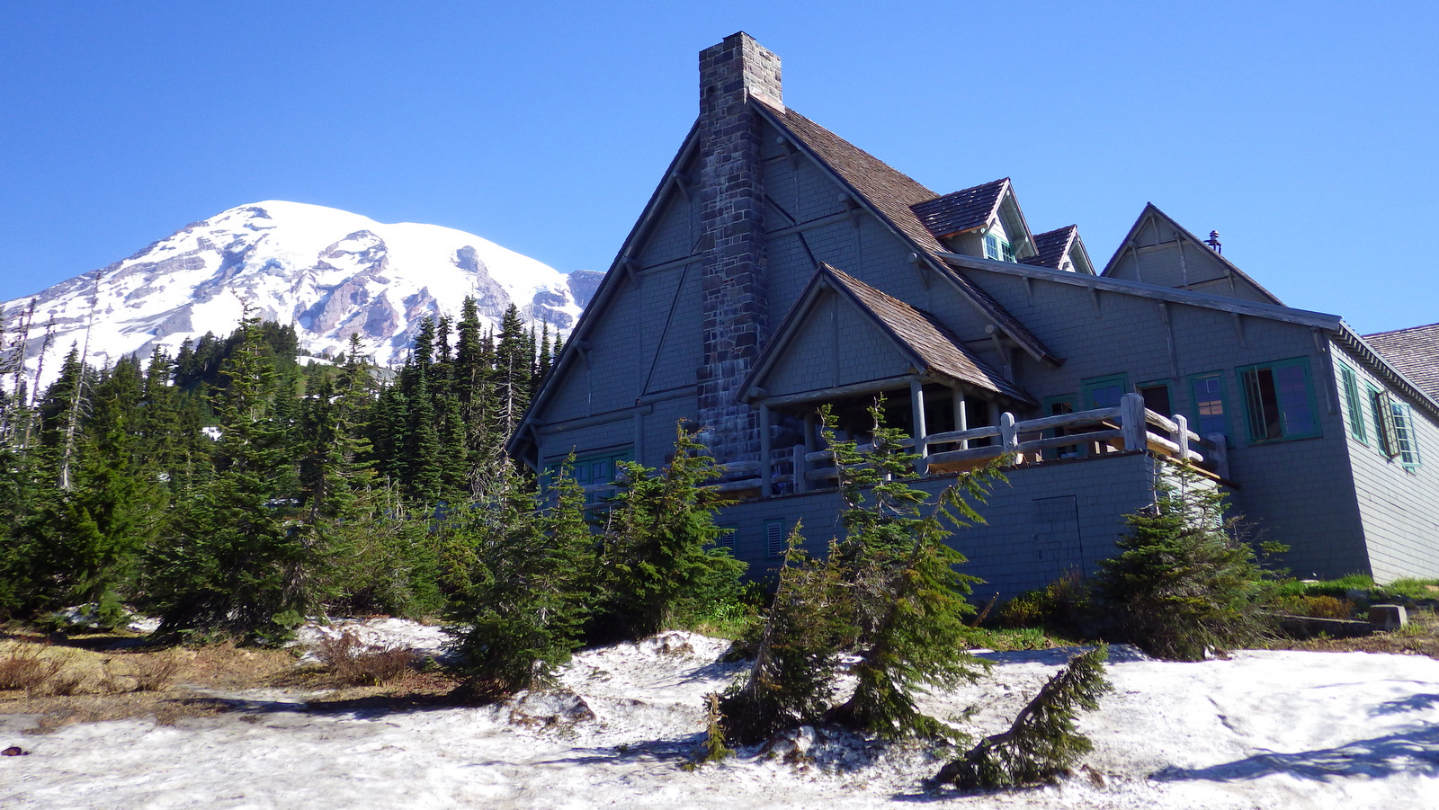
Only 3 hours from Seattle, 14,410-foot tall Mount Rainier dominates the skyline in all directions.  It spends many days cloaked in clouds, so your best view might be out a tiny airplane window before landing at Sea-Tac Airport.  It is an active volcano, uncomfortably close to a population of millions, but it provides recreational opportunities year round.  The park truly contains the wonderland for which its 93-mile circumnavigating trail is named.

Know someone who loves National Parks? Gift them our travel guide A Park to Yourself: Finding Solitude in America’s 63 National Parks. 

Highlights

Paradise, Sunrise, Grove of the Patriarchs Trail, Wonderland Trail

Must-Do Activity

Despite receiving an average of 680 inches of snow annually, the road to Paradise is open all year.  Even in July, you should pack your snowshoes to follow the 5.5 mile Skyline Loop or the 1.2 mile long Nisqually Vista Trail.  This is the jumping off point for most mountaineers attempting to summit the volcano.

Best Trail

A really fun (or scary) swinging footbridge grants access to the Grove of the Patriarchs Trail (1.2 miles roundtrip), where giant Douglas-fir trees tower to more than 300 feet in height.

Instagram-worthy Photo

Reflection Lake is right off the main park road east of the Paradise turnoff.  When there is no wind, it offers a stunning mirror view of Mount Rainier.

Peak Season

Summer, but expect heavy snowpack through July and at least 9 months a year.

Hours

https://www.nps.gov/mora/planyourvisit/hours.htm

Fees

$30 per vehicle or America The Beautiful pass

Road Conditions

The main roads to Paradise and Sunrise are paved, though the latter is closed October to July, as is the dirt road that accesses Mowich Lake.  The Carbon River Road in the northwest corner was washed out in 2006, but is still walkable for 5 miles one-way to access Ipsut Creek Campground.

Camping

There are several large campgrounds that accept reservations, but White River Campground near Sunrise has 112 sites available on a first-come, first-served basis. 

Related Sites

Mt. St. Helens National Volcanic Monument (Washington)

Gifford Pinchot National Forest (Washington)

Ross Lake National Recreation Area (Washington)


This design we created to celebrate Mount Rainier National Park is available on a variety of products at Cafe Press and Amazon.

Explore More – How many different glaciers cling to the sides of the Mount Rainier volcano?

Know someone who loves National Parks? Gift them our travel guide A Park to Yourself: Finding Solitude in America’s 63 National Parks. 

Grand Canyon National Park

Grand Canyon National Park

Arizona

Managed by National Park Service

Established 1908 National Monument, 1919 National Park

1,217,262 acres

Website: nps.gov/grca

Overview

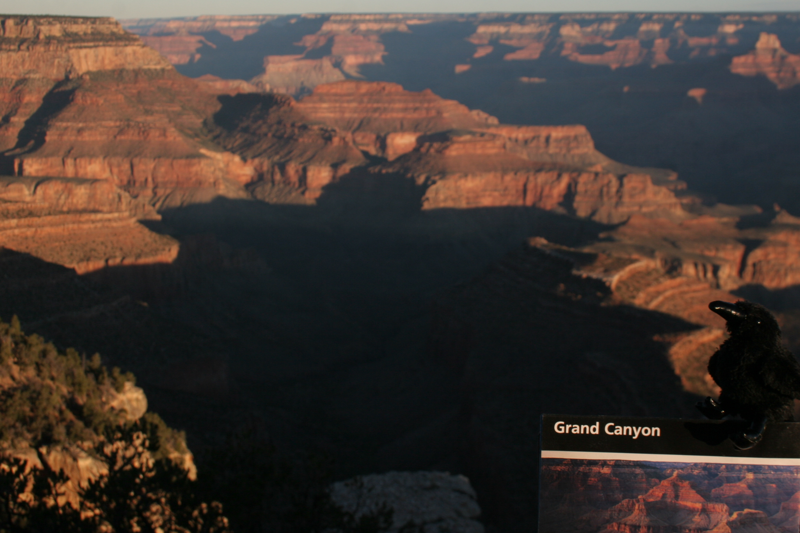
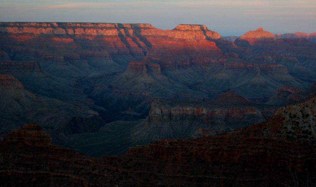
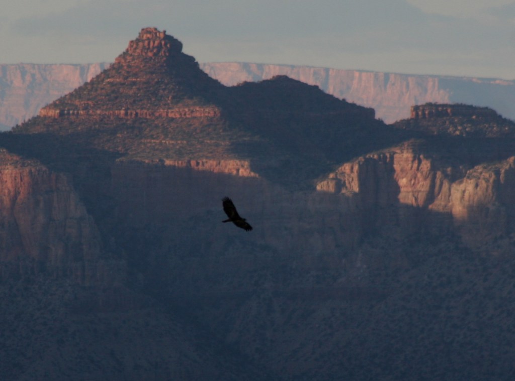
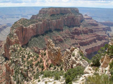
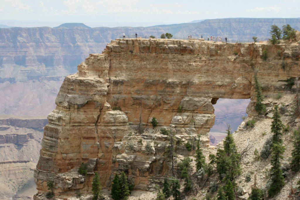
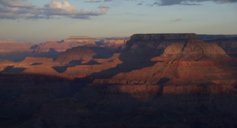
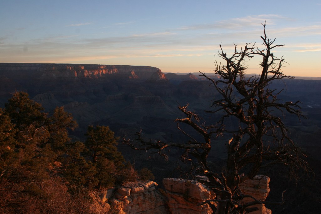
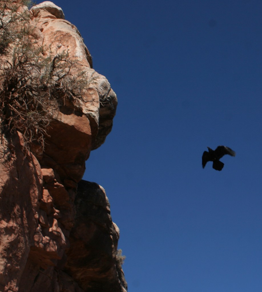
Grand Canyon National Park is generally considered one of the seven natural wonders of the world.   Billions of years of geologic history have been laid bare by the cutting power of the Colorado River.  It is cliché but true, you simply have to see this icon with your own eyes.  It can be overwhelming.  So can the crowds on the South Rim, but those tend to thin out if you hike a mile or two down a trail.  If you have the time during the summer months, be sure to drive five hours over the forested Kaibab Plateau to reach the North Rim (which is only 10 miles away as the raven flies). 

Know someone who loves National Parks? Gift them our travel guide A Park to Yourself: Finding Solitude in America’s 63 National Parks. 

Highlights

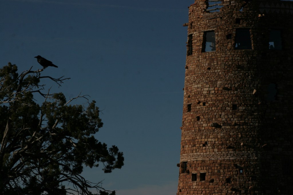
Desert View Watchtower, Hopi House, El Tovar Hotel, Phantom Ranch, Toroweap Overlook, whitewater rafting the Colorado River

Must-Do Activity

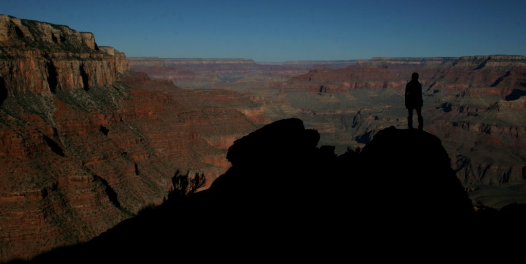
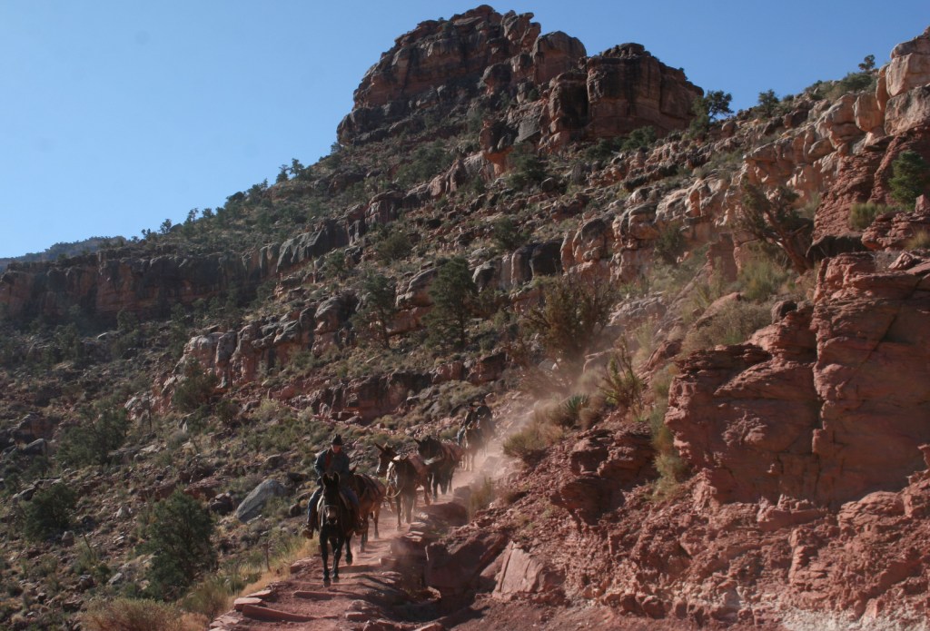
Growing up in Arizona, Scott used to visit this park frequently, but he feels he never got to know it until he hiked to the bottom in 2016.  Even if you only go a couple thousand feet down in elevation on the Grandview Trail or busy Bright Angel Trail, it will give you a new perspective on the canyon.
Best Trail

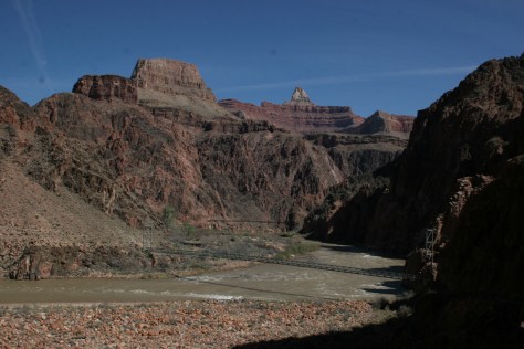
We day hiked the 18 miles from South Kaibab Trailhead (7200 feet elevation) down to Phantom Ranch (2500 feet) where we filled up with water on the way back up to Bright Angel Trailhead (6800 feet, with multiple water stations on the trail).  Backcountry permits can turn this into a multiple day trek, but then you have to carry all your gear out.

Photographic Opportunity

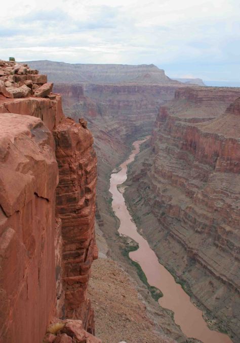
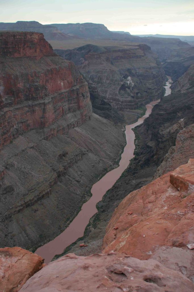
It is an arduous 90-mile one-way drive down a mostly dirt road to access Toroweap Overlook (free online permit required before arrival), but there is a reason photos from this fantastic overlook show up everywhere since the canyon walls are nearly vertical here.

Peak Season

Summer when it is very hot inside the canyon, though it can also be busy around the spring, fall, and December holidays.

Hours

https://www.nps.gov/grca/planyourvisit/hours.htm

Fees

$35 per vehicle or America The Beautiful pass

Road Conditions

Most roads are paved, and except for the very end of the 90-mile long graded dirt road to Toroweap Overlook is accessible to all passenger vehicles (free permit required).

Camping

The park has campgrounds on both rims, but you can also find dispersed camping in the neighboring Kaibab National Forest.

Related Sites

Baaj Nwaavjo I’tah Kukveni–Ancestral Footprints of the Grand Canyon National Monument (Arizona)

Coconino National Forest (Arizona)

Wupatki National Monument (Arizona)

This design we created to celebrate Grand Canyon National Park is available on a variety of products at Cafe Press and Amazon.

Explore More – Was Marguerite Henry’s book character Brighty based on a real burro?

Know someone who loves National Parks? Gift them our travel guide A Park to Yourself: Finding Solitude in America’s 63 National Parks.