Tag Archives: lake

Missouri Road Trip Itinerary

43,994,573 acres

Statehood 1821 (24th)

Capital: Jefferson City

Population: 6,154,913 (18th)

High Point: Taum Sauk Mountain (1,772 feet)

Best time of year: Spring and fall

After publishing the guidebook 50 States of Great: Road Trip Guide to America, I have been creating blog posts with a travel itinerary for every state.  After starting with Kansas, Georgia, Idaho, Rhode Island, Minnesota, Hawai‘i, Arizona, Louisiana, South Dakota, Indiana, Montana, Mississippi, and Wyoming, I decided to do a central state that borders the most other states (eight).  I made an ambitious seven-day plan starting in St. Louis, with plenty of options to extend the trip.

Day 1

Gateway Arch National Park (click here for our blog post)

Formerly Jefferson National Expansion Memorial, in 2018, this 193-acre site was named the country’s 60th (and smallest) National Park.  It has a new museum and theater, and the claustrophobia-inducing tram cars still take visitors to the top of the arch for excellent views of St. Louis and across the Mississippi River into Illinois.  The city is also home to 1,371-acre Forest Park (site of the 1904 World’s Fair), with many attractions like a zoo, art museum, ice skating rink, outdoor musical theater, history museum, and science center.

Optional stop at Ulysses S. Grant National Historic Site (click here for our blog post)

The antebellum plantation of White Haven is where the future General and President raised a family in the 1850s following his initial resignation from the U.S. Army.  A thought-provoking museum is housed in the former horse stables, while access inside the house is only on a free ranger-guided tour.  It is located next to Grant’s Farm that offers free Budweiser brewery tours and a chance to see the famous Clydesdale horses.

Day 2

Mark Twain Boyhood Home and Museum

The celebrated author’s hometown of Hannibal on the Mississippi River is a pilgrimage site for a half-million visitors annually.  The museum has eight buildings, including the house his father built in 1843.  Across the street is the Becky Thatcher House, where Twain’s childhood sweetheart (Laura Hawkins) lived.  Held every July, National Tom Sawyer Days features frog-jumping and fence-painting contests. 

Optional stop at Clarence Cannon National Wildlife Refuge

Named in honor of a U.S. Congressman, these 3,750 acres provide a variety of wetland habitats for migratory birds along the Mississippi River floodplain.

Day 3

Jefferson City

The capitol building is known for its stained glass, murals, carvings, and statuary, as well as being home to the Missouri State Museum.  Nearby, Jefferson Landing State Historic Site preserves the Lohman Building and Union Hotel that were restored along the Missouri River. 

Optional stop at Mark Twain National Forest (click here for our blog post)

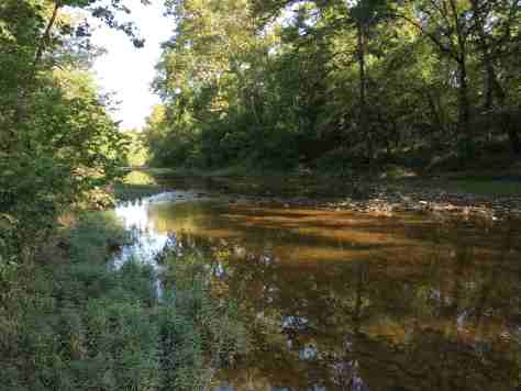
Spread across nine separate units, this sprawling jurisdiction used to be two National Forests until 1976 when the more northerly Clark National Forest was administratively combined.  Between Jefferson City and Columbia, Pine Ridge Recreation Area accesses Cedar Creek Trail, which has multiple trailheads and four loops totaling 36 miles.
Day 4

Kansas City

The city that crosses the western state border has more than 200 fountains, the most of anywhere outside Rome, Italy.  Kansas City is best known for its barbecued meats slathered in thick, tangy sauce, a tradition dating back to 1908.  The two oldest contenders for best barbecue in K.C. are Arthur Bryant’s Barbecue and Gates and Sons Bar-B-Q, but it is hard to find a bad restaurant due to the stiff competition. 

Nelson-Atkins Museum of Art

The most photographed spot in the city might be the giant shuttlecock sculptures on the lawn of the free art museum (where there’s also a free mini-golf course). Near Union Station, the National World War I Museum at Liberty Memorial features a 217-foot-tall Art Deco tower with an Egyptian motif.

Harry S Truman National Historic Site (click here for our blog post)

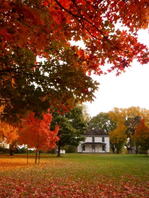
The visitor center in downtown Independence offers a film and a few artifacts, as well as first-come, first-served tickets for ranger-guided tours of the Truman Home.  About a 30-minute drive from Independence, take a self-guided cell phone tour around the ten acres surrounding the 1894 Truman Farm Home, which once stood on a 600-acre farm that is now the suburb of Grandview.
Optional stop at National Frontier Trails Museum

If you make it to Independence, pay to visit this museum located where emigrants once departed to begin their long journeys on the Santa Fe, Oregon, and California National Historic Trails. 

Day 5

George Washington Carver National Monument (click here for our blog post)

When Carver died in 1943, this site became the first National Park Service unit to honor an African-American.  The scientist was born into slavery on this farm but went on to earn a master’s degree in botany from Iowa State University in 1896 and to work at Tuskegee Institute for 47 years where he popularized peanut, sweet potato, and soy agriculture.  There is a museum with interactive exhibits and a self-guided one-mile loop trail with interpretive signs. 
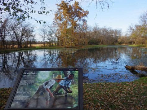
Wonders of Wildlife National Museum & Aquarium

The original Bass Pro Shops in Springfield has almost 500,000 square-feet dedicated to outdoor recreation, including the Archery Hall of Fame and this impressive aquarium (fee). 

Optional stop at Wilson’s Creek National Battlefield (click here for our blog post)

Missouri stayed in the Union throughout the Civil War despite the $10-million in property damage caused by guerrilla fighters, making it the third most fought-over state.  Start your visit by watching a short film, then peruse the excellent museum before taking the five-mile driving route that provides an overview of the battle at eight interpretive stops.

Day 6

Branson

The entertainment capital of the central U.S. has a main strip lit up like Las Vegas without the casinos.  The main draw is the variety of live music and magic shows offered every day of the week in 37 theaters, but do not miss the historic downtown with the iconic Dick’s 5 & 10 Cent Store on Main Street.  There are also mini-golf courses, a wax museum (topped by King Kong), an amusement park, a Ripley’s Believe It or Not! Odditorium, and a building shaped like the bow of the Titanic hitting a giant iceberg. 

Mark Twain National Forest (click here for our blog post)

Spread throughout the Ozark Mountains, 1.5-million-acre Mark Twain National Forest is full of caves, sinkholes, springs, and streams.  Greer Spring is the second largest in Missouri, with a daily flow of 222-million gallons as it drains 1.2 miles into the Eleven Point National Scenic River.  Several long trails explore the National Forest’s seven designated Wilderness areas, including sections of the 350-mile Ozark Trail.  Mark Twain National Forest also has three designated Scenic Byways: Blue Buck Knob, Sugar Camp, and Glade Top Trail.

Optional stop at the “Tri-Lakes”

The reservoirs of Table Rock, Taneycomo, and Bull Shoals offer opportunities for boating, fishing, and water sports.  The U.S. Army Corps of Engineers runs a museum at 252-foot-tall Table Rock Dam on the White River.

Day 7

Ozark National Scenic Riverways (click here for our blog post)

The Jacks Fork and Current Rivers flow freely within Ozark National Scenic Riverways.  The best way to explore the serpentine park boundaries is on the water, but roads access several swimming holes and the bright red Alley Mill.  The dolomite and limestone karst underneath this park is riddled with caves and sinkholes, like Devils Well, Round Spring Cave (offering ranger-guided tours for a fee), and Jam Up Cave (only accessible from the Jacks Fork River). 

Optional stop at Johnson’s Shut-Ins State Park

After suffering catastrophic damage from a 2005 dam breach, this park has been redeveloped and still has the chutes and waterfalls that provided its name.  Its campground is considered one of the nation’s best for RVs on public land.

Day 8+

Ste. Genevieve National Historical Park (click here for our blog post)

Established in 2020 to protect the French colonial-era houses of Missouri’s first permanent settlement where residents still go all out to celebrate Bastille Day.  The oldest standing structure is the Bolduc House that dates back to 1792, while the Old Brick House from 1804 is now a restaurant.
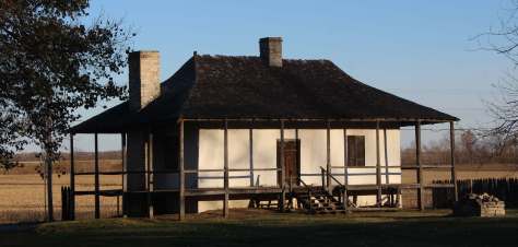
Ha Ha Tonka State Park

This geologic wonderland features a natural bridge, caves, sinkholes, limestone bluffs, and a large natural spring, but may be best known for the burned-out ruins of a mansion.

Katy Trail

The M-K-T (Missouri-Kansas-Texas) Railroad has been converted into the 240-mile-long Katy Trail, running across the state from north of St. Louis to Clinton (75 miles southeast of Kansas City).  Camping along the trail is an option, but it passes through many towns with hotels. 

Taum Sauk Mountain State Park

Accessed from the same trailhead as the state’s high point, Mina Sauk Falls is a 132-foot cascade accessed via a three-mile out-and-back hike that gains 430 feet in elevation.  Missouri’s tallest waterfall typically flows best during the spring season; otherwise, it is reduced to a trickle. 

Elephant Rocks State Park

The park’s billion-year-old granite rocks are broken into vertical cracks and eroded into huge “elephants” like 680-ton Dumbo (27 feet tall and 35 feet long).  The park even has a one-mile paved path designed specifically for the visually impaired with signs in Braille. 

Loess Bluffs National Wildlife Refuge

In northwest Missouri, winter is the time to visit to see nearly one-million snow geese, plus trumpeter swans, bald eagles, and a variety of shorebirds and waterfowl.

Learn more about Missouri’s Most Scenic Drive, Wonderful Waterfall, Top State Park, and other categories in our new travel guidebook  50 States of Great: Road Trip Guide to America.
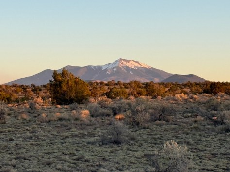
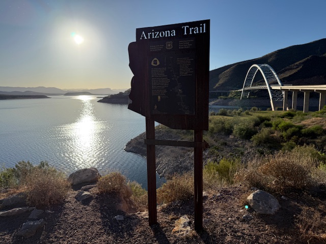
Arizona National Scenic Trail

Arizona National Scenic Trail

Arizona

Managed by U.S. Forest Service, National Park Service, Bureau of Land Management

Established 2009

800 miles

Website: aztrail.org

Overview

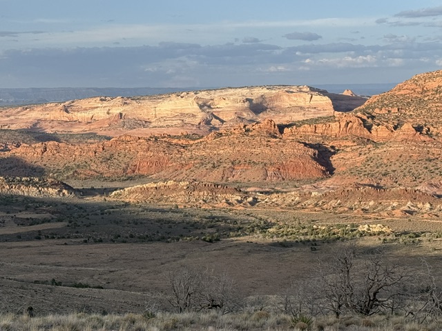
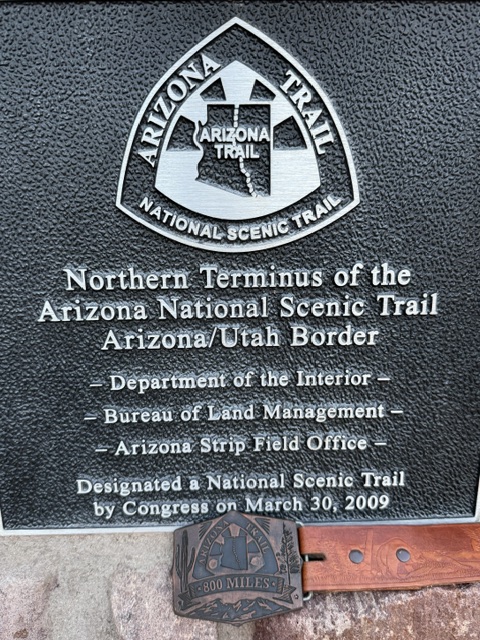
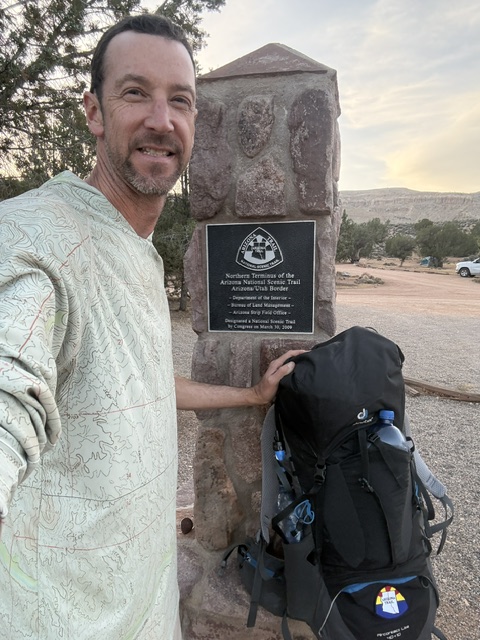
The Arizona National Scenic Trail (AZT) runs 800 miles from Coronado National Memorial on the Mexican border to Stateline Campground in Utah (where Vermilion Cliffs and Grand Staircase-Escalante National Monuments meet).  The AZT has a cumulative elevation gain of more than 100,000 feet and goes above 9,000 feet in several locations, with the low point at 1,646 feet on the Gila River around Mile 270.  Credit for developing and promoting the AZT began in 1985 with Dale Shewalter, a Flagstaff teacher who has a memorial in Buffalo Park on the urban alternate route of the AZT.  There is also a mountain biking AZT that avoids Wilderness areas and an equestrian route that is mostly the same except for some road crossings and a loop around Flagstaff. 

I completed the AZT northbound in spring 2026 and you can read my series of short daily blog posts here:

Highlights

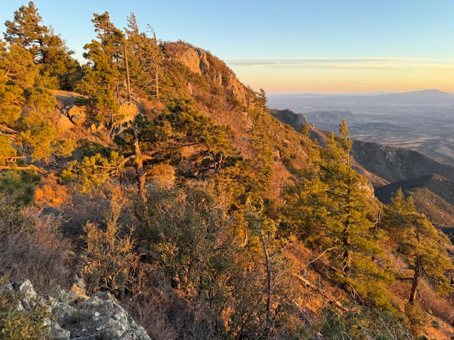
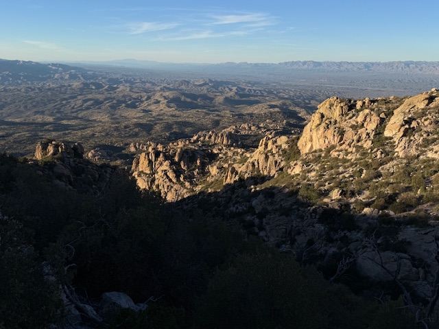
Huachuca Mountains, Mica Mountain, Upper Sabino Canyon, Gila River, Four Peaks Wilderness, East Verde River, Mogollon Rim, Anderson Mesa, Grand Canyon National Park

Must-Do Activity

Must keep moving!  How many miles to do in a day is entirely up to the individual backpacker, but the less distance covered the more food carried.  Water filtration is also a must-do activity because caches are few and far between, so springs, cattle tanks, and creeks provide the majority of liquid (the FarOut app is the most updated source of information).  Popular resupply towns along the route are Patagonia, Tucson, Summerhaven, Oracle, Kearney, Superior, Roosevelt Lake, Pine, Flagstaff, Tusayan, and Jacob Lake. 

Best Trail

My favorite section of the trail was west of Gordon Hirabayashi Campground in Coronado National Forest’s Upper Sabino Canyon at the base of the Santa Catalina Mountains (before it started steeply climbing up to Mt. Lemmon).  The southernmost section that immediately ascends above 9,000 feet in the Huachuca Mountains was also surprising, pleasantly for the scenery and unpleasantly for the steep grades and loose rocks (and blisters).

Photographic Opportunity

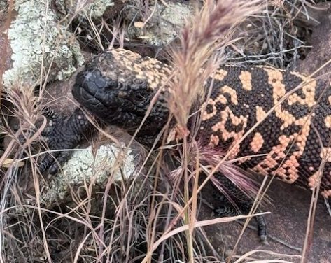
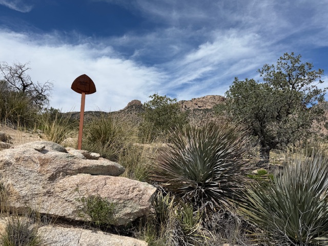
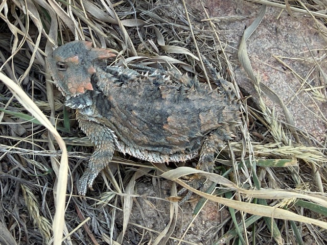
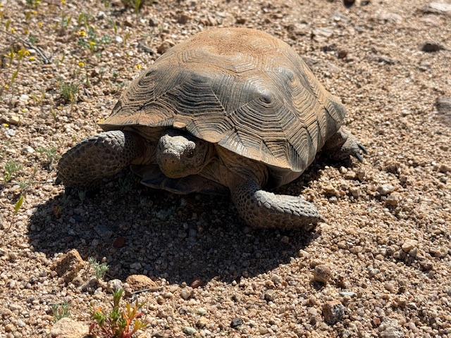
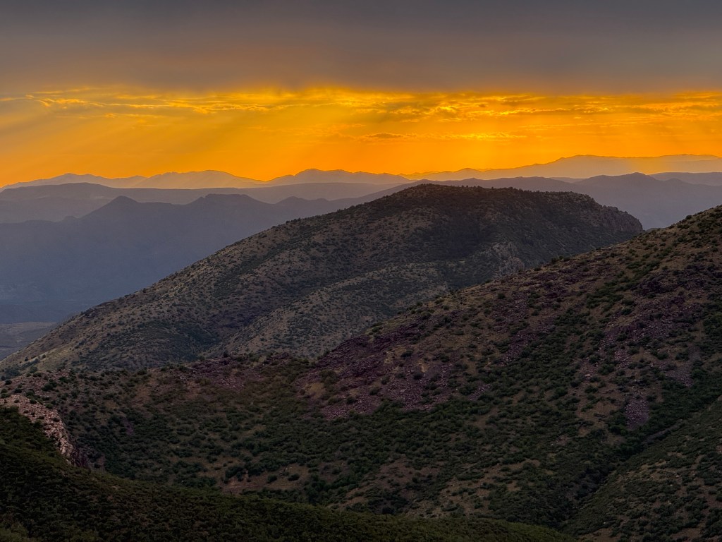
The AZT goes from “spines to pines” and then back and forth between the two again and again.  I was excited that after living in Arizona for 11 years of my life, I finally saw my first wild desert tortoise and two Gila monsters in the Sonoran Desert.

Peak Season

March and October

Fees

The only fee required is to pass through 18 miles of Saguaro National Park (an America the Beautiful pass also works)

Road Conditions

A few trailheads are on paved roads, but most require dirt roads and some are no longer accessible at all.  A good but narrow dirt road climbs to Montezuma Pass at Mile 2, while House Rock Valley Road at Mile 800 requires a high-clearance vehicle (and can be impassable when wet).  Shuttle services are available by reservation for thru-hikers at both ends.

Camping

If thru-hikers wish to camp in the 18 miles of Saguaro National Park that climbs Mica Mountain, they must pay to make a reservation at Grass Shack or Manning Camp.  Grand Canyon National Park does not charge for thru-hikers to stay at the hiker-biker campsites on either rim or for a permit to camp at Bright Angel or Cottonwood Campgrounds at the bottom of the canyon.  Stateline Campground on the Utah border is small but free with no water available. 

Related Sites

Coronado National Memorial

Coronado National Forest

Saguaro National Park

Tonto National Forest

Coconino National Forest

Walnut Canyon National Monument

Kaibab National Forest

Baaj Nwaavjo I’tah Kukveni–Ancestral Footprints of the Grand Canyon National Monument

Grand Canyon National Park

Vermilion Cliffs National Monument

Explore More – One of only 11 National Scenic Trails in the U.S., what year was the first official thru-hike on the AZT once the final gap was completed along the Gila River?

Monongahela National Forest

Monongahela National Forest

West Virginia

Managed by U.S. Forest Service, Northern Region

1,706,898 acres (921,150 federal/ 785,748 other)

Website: https://www.fs.usda.gov/r09/monongahela

Overview

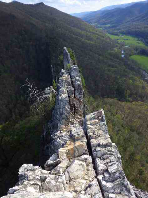
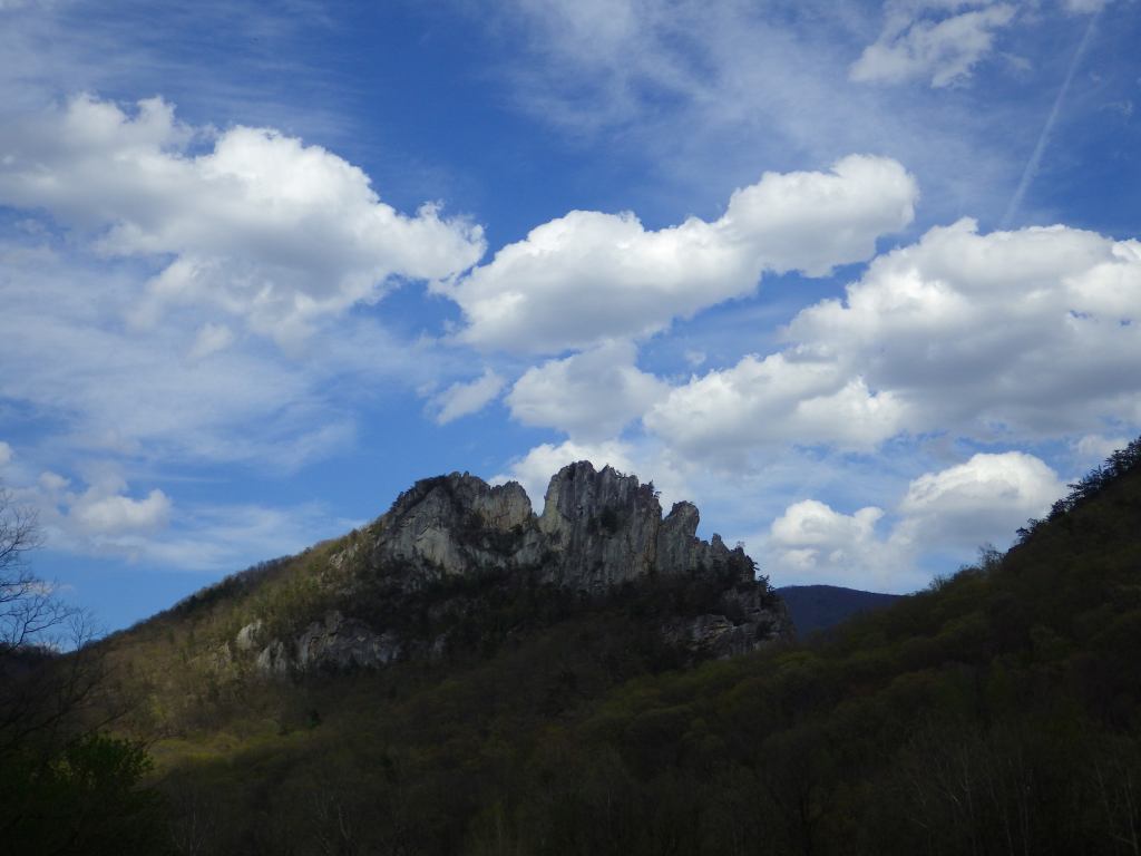
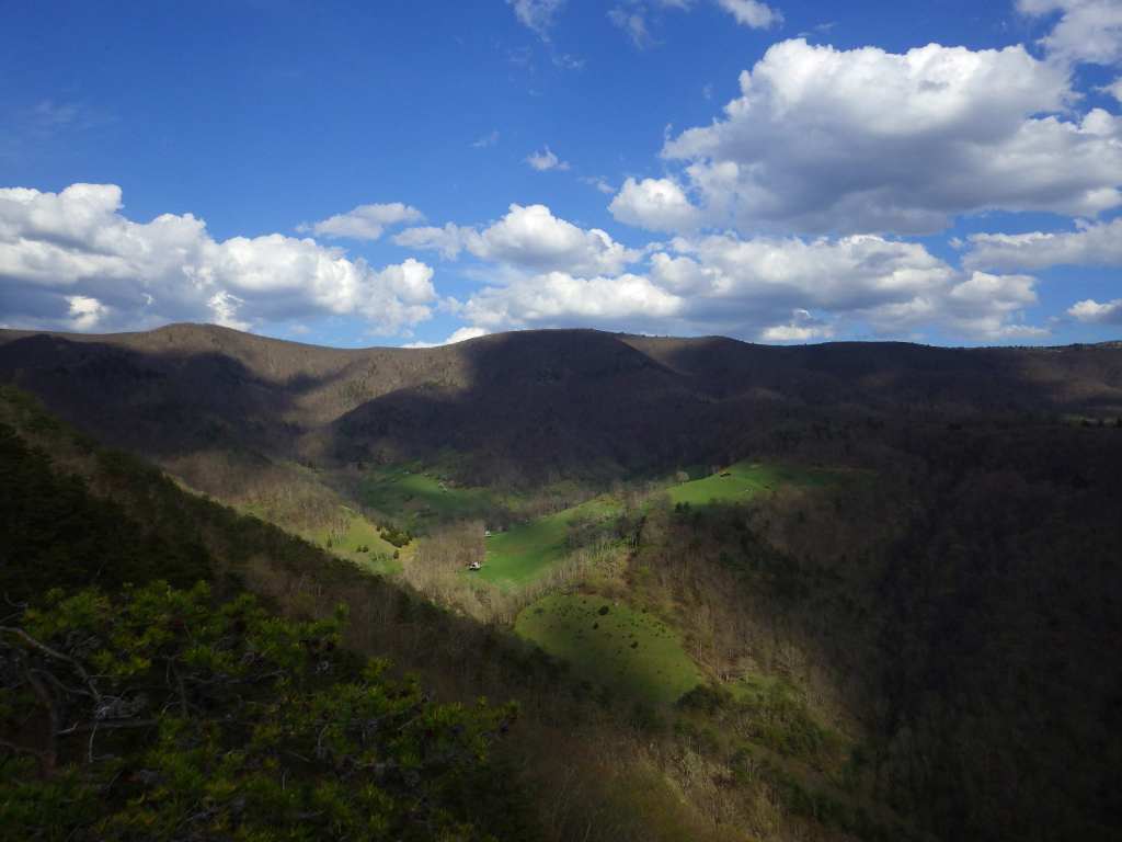
Monongahela National Forest contains the highest point in West Virginia, 4,863-foot-tall Spruce Knob with an observation tower for seeing over the trees at its summit.  It is part of Spruce Knob-Seneca Rocks National Recreation Area (see our full blog post), which is very popular with rock climbers.  The National Forest’s initial 7,200 acres were purchased by the federal government in 1915, and it the grew to 150,367 acres over the next decade.  During World War II, the U.S. Army utilized the area as an artillery and mortar range, in addition to training soldiers in climbing techniques at Seneca, Nelson, and Champe Rocks.  This area receives an average of 60 inches of annual precipitation on the west side of the Allegheny Front and only half that on the rain shadow side.  It is the headwaters of six major rivers: the Monongahela, Potomac, Greenbrier, Elk, Tygart, and Gauley.

Know someone who loves the National Forests? Gift them our travel guidebook Out in the Woods so they can learn more about all 155 National Forests.

Highlights

Spruce Knob-Seneca Rocks National Recreation Area, Cranberry Glades Botanical Area, Highland Scenic Highway, Lake Sherwood Recreation Area, Gaudineer Knob Scenic Area, Cassell Cave, Sinks of Gandy, Stuart Memorial Drive, Champe Rocks, Dolly Sods Scenic Area

Must-Do Activity

There are 94,991 acres in eight designated Wildernesses in Monongahela National Forest, more than half of which is in the Cranberry Wilderness.  A boardwalk traverses the bogs at Cranberry Glades Botanical Area, which has a visitor center run by the Forest Service.  Fishing is a popular pastime, especially at Lake Sherwood, Spruce Knob Lake, and Lake Buffalo.  When winter conditions are right, there is a snowmobile area on Highland Scenic Highway.  The forest is mostly second growth, but 318 acres of old-growth remains, which can be seen at Fanny Bennett Hemlock Grove, Gaudineer Scenic Area (for red spruce), Shavers Mountain Spruce-Hemlock Stand, North Fork Mountain Red Pine Botanical Area, North Spruce Mountain Old Growth Site, and Virgin White Pine Botanical Area.
Best Trail

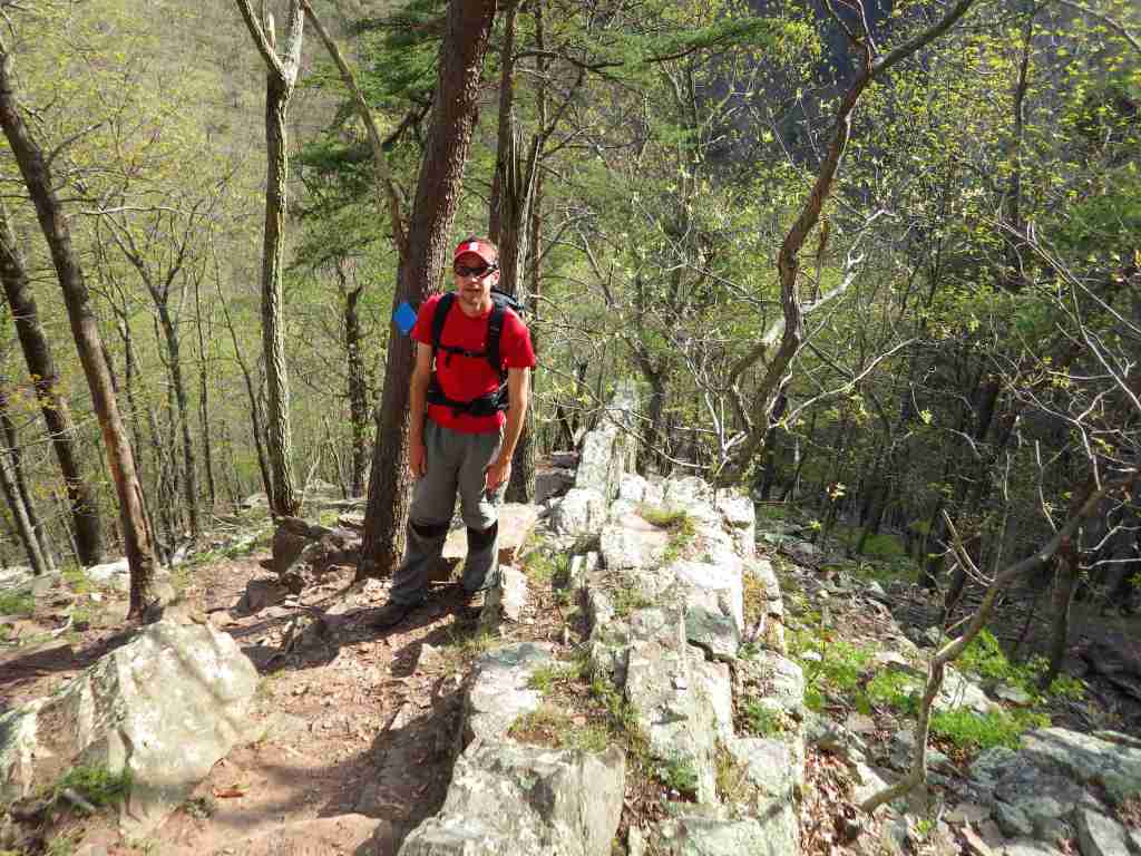
There is great hiking in Spruce Knob-Seneca Rocks National Recreation Area, and other trails can be found at Lake Sherwood Recreation Area, Falls of Hill Creek Scenic Area, Mt. Porte Canyon, and Stuart Recreation Area.  The 17,371-acreDolly Sods Wilderness encompasses much of the Red Creek drainage with high-elevation bogs and heaths like those found in southern Canada.
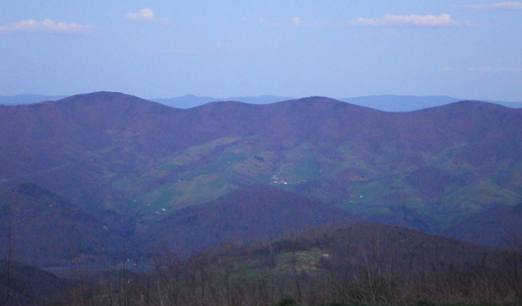
Watchable Wildlife

It is hard to believe given their abundant numbers today, but in the 1930s white-tailed deer had to be reintroduced from Michigan.  In 1969, 23 fishers were reintroduced from New Hampshire.  Other large mammals include black bear, red and gray fox, coyote, bobcat, snowshoe hare, beaver, river otter, raccoon, mink, skunk, and opossum.  Of the 230 bird species identified, 159 are known to breed here.  Approximately 90% of the trout waters in West Virginia are within the National Forest, and trout are stocked at Spruce Knob Lake and other locations.

Photographic Opportunity

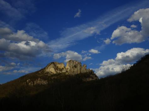
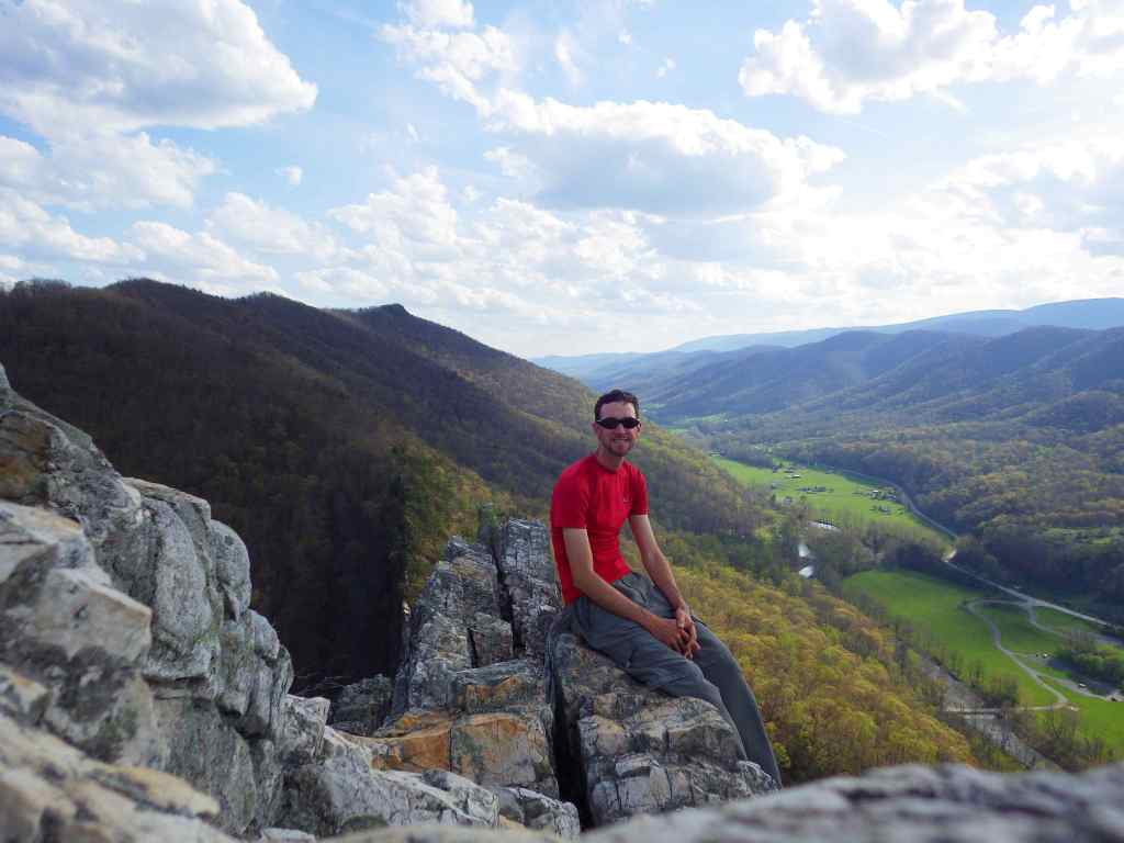
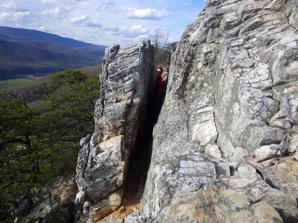
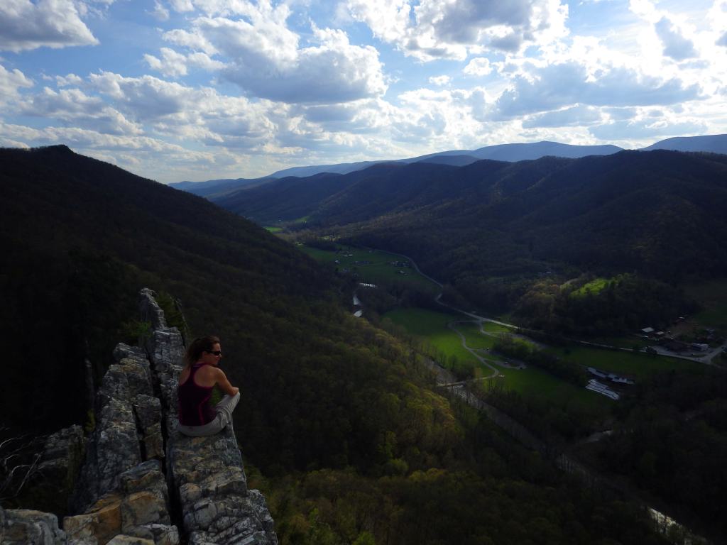
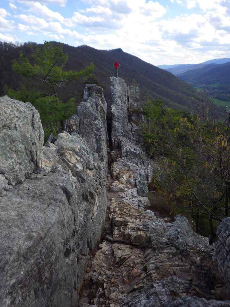
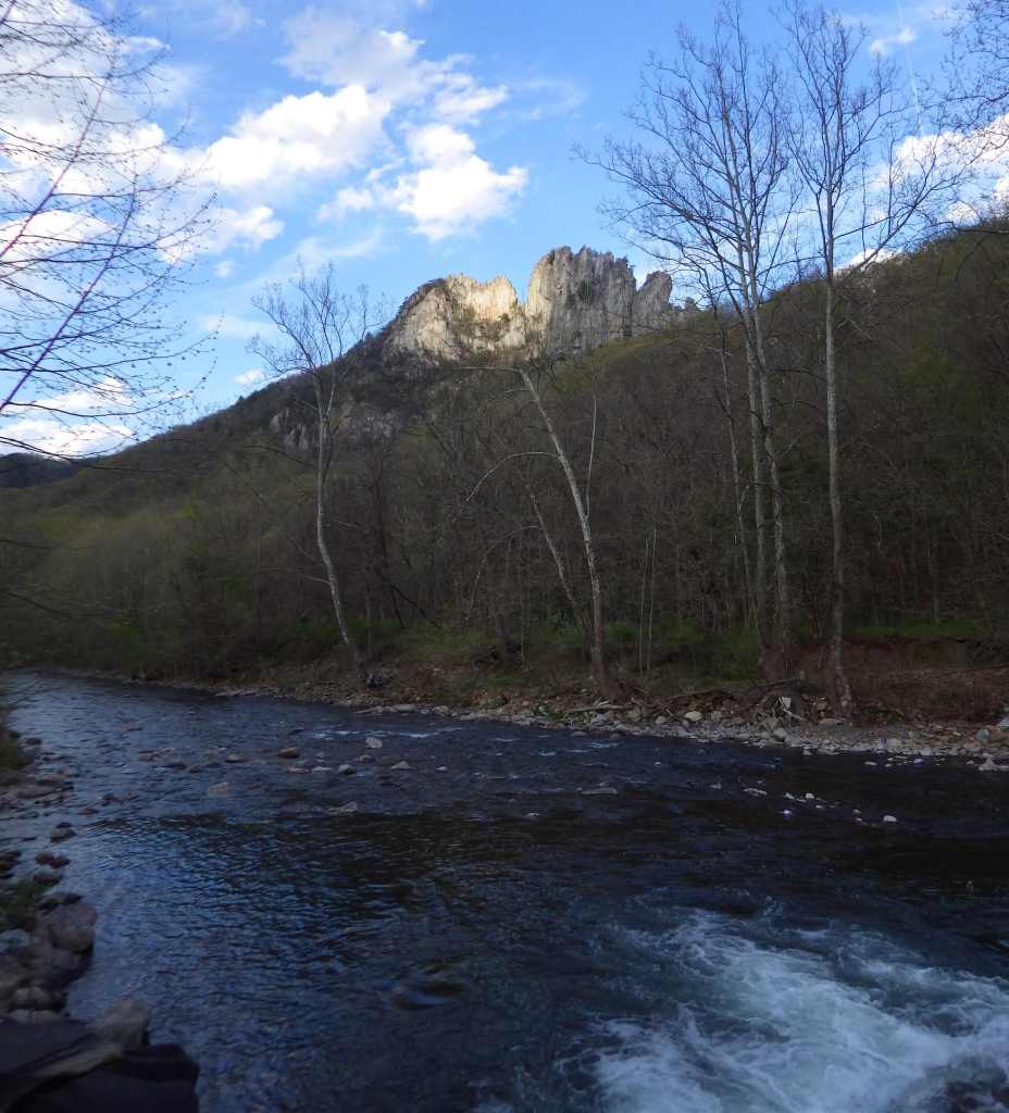
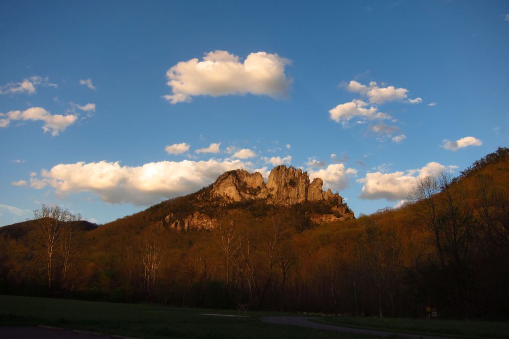
The iconic Seneca Rocks are a 900-foot-tall quartzite crag heavily used by rock climbers.  On October 22, 1987, a prominent pinnacle dubbed “the Gendarme” fell to the ground.

Peak Season

Summer

Fees

A day use fee applies at Lake Sherwood Recreation Area.

Road Conditions

Most roads are open year-round, including the paved road to the top of Spruce Knob when it is snow-free.

Camping

The National Forest has 23 campgrounds, including popular options in Spruce Knob-Seneca Rocks National Recreation Area at Seneca Shadows and Big Bend (with hot showers). 

Wilderness Areas

Big Draft Wilderness

Cranberry Wilderness

Dolly Sods Wilderness

Laurel Fork North Wilderness

Laurel Fork South Wilderness

Otter Creek Wilderness

Roaring Plains West Wilderness

Spice Run Wilderness

Related Sites

Allegheny National Forest (Pennsylvania)

George Washington National Forest (Virginia-West Virginia)

Jefferson National Forest (Virginia-West Virginia-Kentucky)

Harpers Ferry National Historical Park (West Virginia-Virginia-Maryland)

Nearest National Park

New River Gorge

Conifer Tree Species

eastern hemlock, balsam fir, red spruce, red pine, eastern white pine

Flowering Tree Species

black ash, mountain ash, black cherry, yellow birch, sugar maple, red maple, sweet birch, cucumber magnolia, American beech, basswood, speckled alder, mountain laurel, white rhododendron

Explore More – The Monongahela River gets its name from the Lenape language, and it translates as what in English?

Learn more about this and the 154 other National Forests in our new guidebook Out in the Woods

Sáttítla Highlands National Monument

Sáttítla Highlands National Monument

California

Managed by U.S. Forest Service, Pacific Southwest Region

Established 2025

224,676 acres

Website: https://www.fs.usda.gov/visit/national-monuments/sattitla-highlands-national-monument

Overview

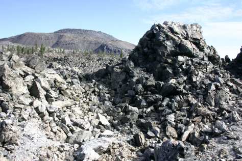
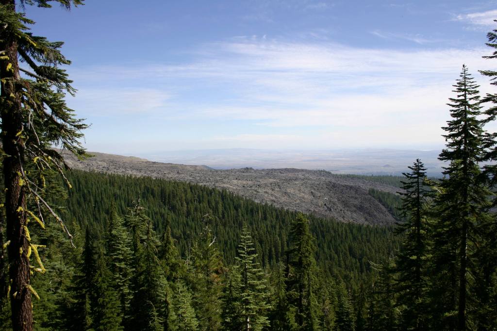
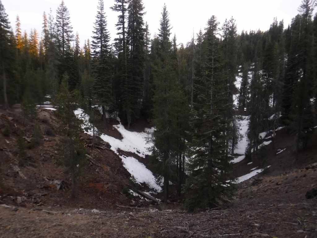
In the northeast corner of California is the largest shield volcano in North America: 7,921-foot Medicine Lake Volcano.  Sáttítla Highlands National Monument is spread across Klamath, Shasta, and Modoc National Forests just south of Lava Beds National Monument and features numerous cinder cones and lava fields.  Part of the Volcanic Legacy Scenic Byway loops around Medicine Lake, which the Modoc people view as a place of healing.  The Pit River Tribe opposed development of geothermal energy sources in this area, spearheading its protection.  In the 1960s, NASA astronauts trained at Pumice Crater, four of whom eventually landed on the moon.  Sáttítla Highlands National Monument is also important for biodiversity, providing habitat for wildlife species like the Cascades frog, long-toed salamander, and gray-headed pika, as well as numerous fungi, the parasitic sugarstick plant, and Pacific fuzzwort (a rare liverwort).

Know someone who loves exploring new National Monuments? Gift them our book Monumental America: Your Guide to All 138 National Monuments that is available for sale on Amazon.com.

Highlights

Medicine Lake Recreation Area, Giant Crater lava tube, Glass Mountain, Black Lava Butte, Fourmile Hill Tree Molds Geologic Area

Must-Do Activity

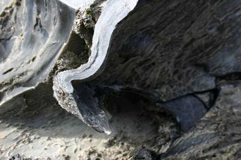
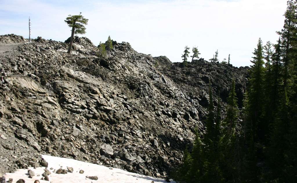
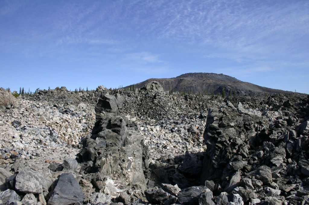
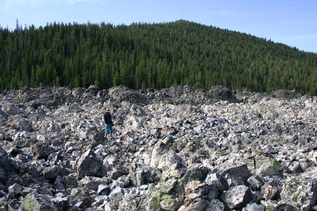
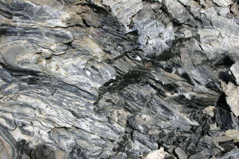
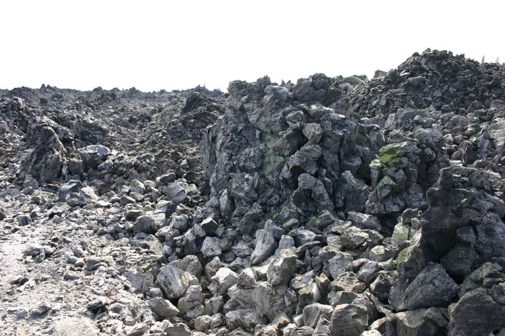
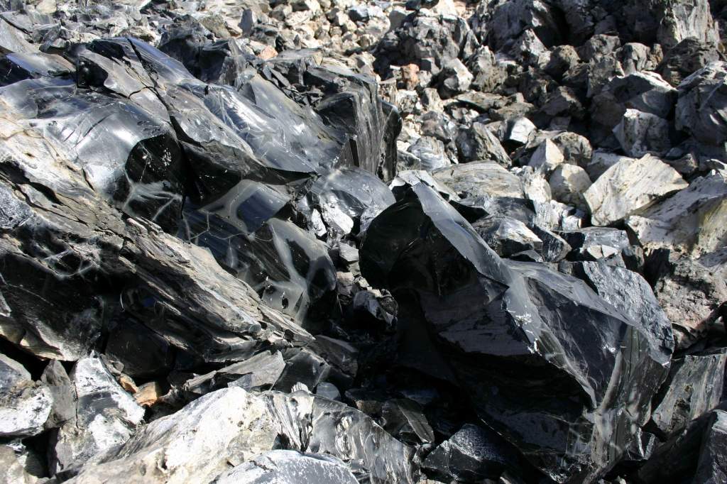
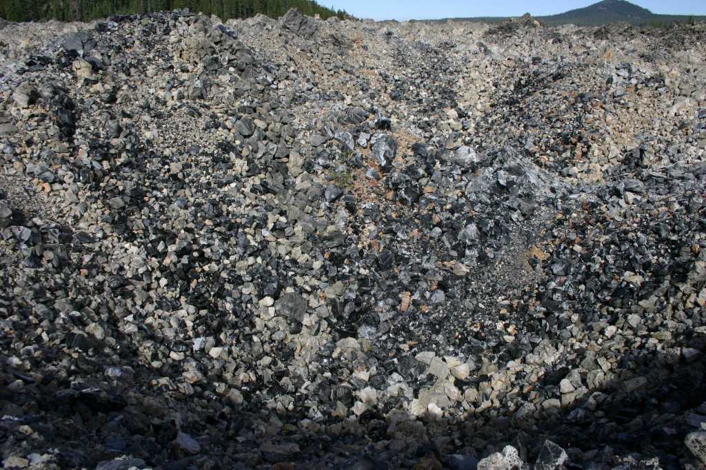
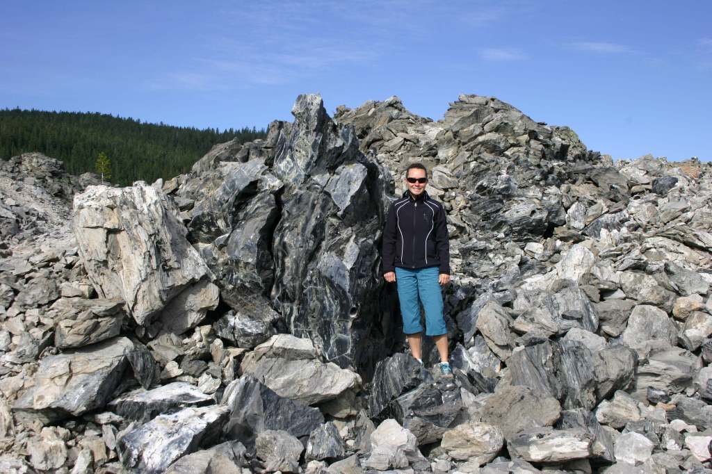
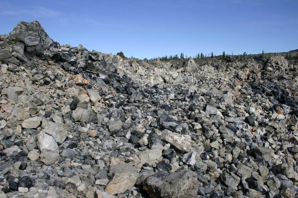
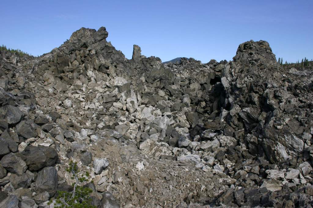
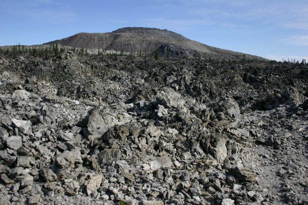
Most of the developed recreation opportunities surround Medicine Lake, which offers boat ramps, trails, and campgrounds.  Giant Crater has the longest known lava tube system in the world at 18 miles, although it is partially collapsed.  This Geologic Special Interest Area can be accessed two miles off Medicine Lake Road on Forest Road 43N11.  Another unpaved road leads up Glass Mountain, which has a crater full of sharp pieces of rhyolite obsidian and glossy dacite.  This remote corner of California has some of the darkest skies in the continental U.S., so it is great for stargazing on moonless nights.  In the winter, snowmobiling and cross-country skiing are popular activities on groomed trails. 

Best Trail

There is a 4.4-mile loop around Medicine Lake, as well as the one-mile out-and-back Medicine Lake Glass Flow Trail that gains 68 feet of elevation on the north shore.  For a more challenging route, Little Mt. Hoffman Trail gains 666 feet over three miles to the fire lookout, which can be rented overnight.  Summitting the actual Mt. Hoffman is over 13 miles roundtrip with a 2,000-foot cumulative climb.

Photographic Opportunity

Sáttítla literally translates as “obsidian place” and the volcanic glass prevalent at Glass Mountain has provided humans sharp blades for at least 5,000 years.

Peak Season

Summer

Fees

$5 per vehicle (or the America the Beautiful Pass) at Medicine Lake

Road Conditions

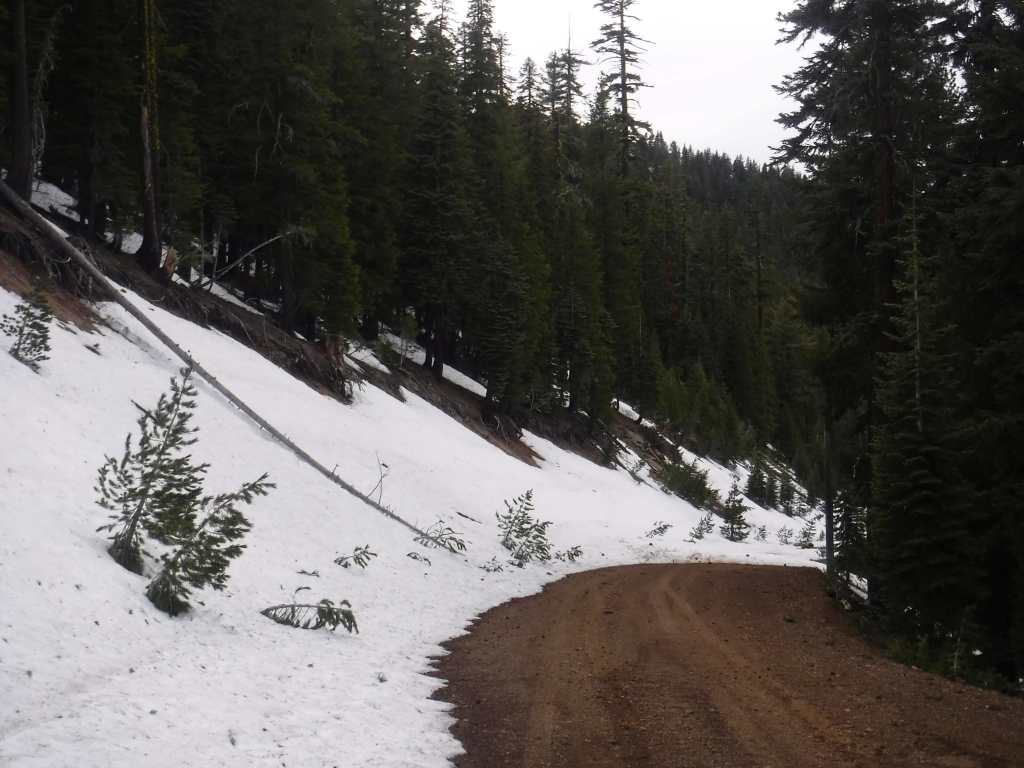
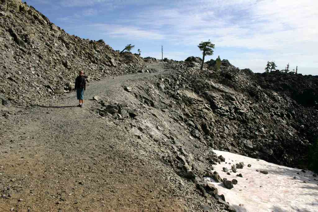
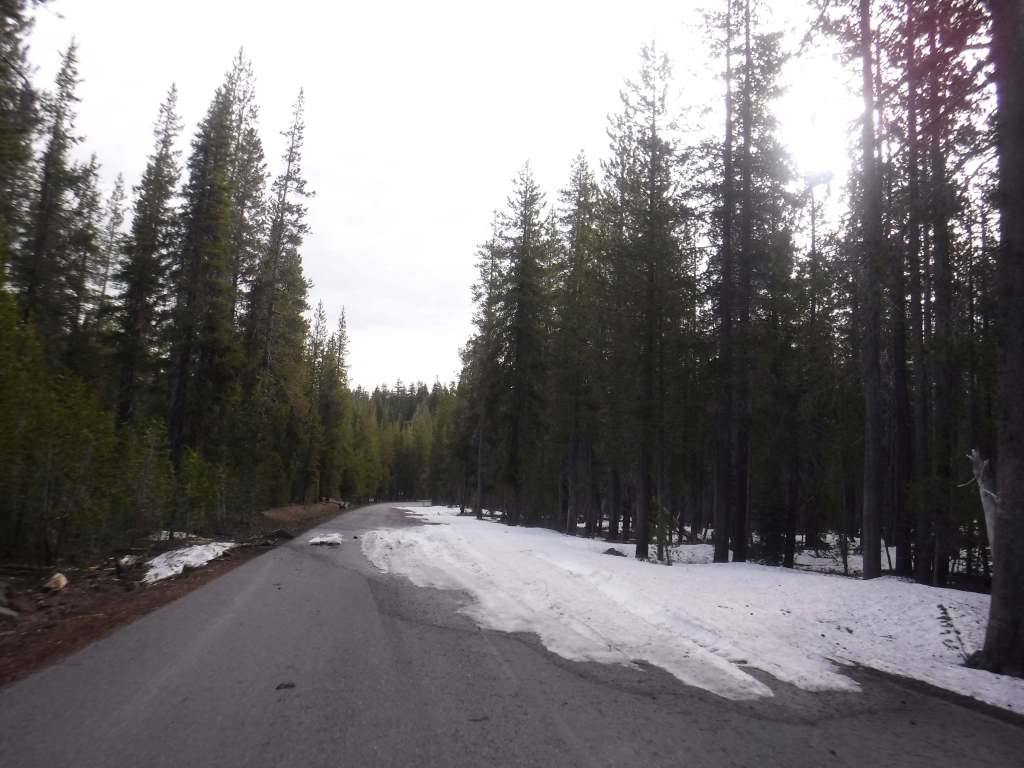
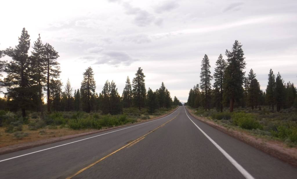
This area receives abundant winter snowfall, and roads can be blocked by snow into July, which we experienced trying to get to Glass Mountain.  The road to Medicine Lake is paved, but almost every other road through the National Monument is unpaved, some requiring a high-clearance vehicle. 

Camping

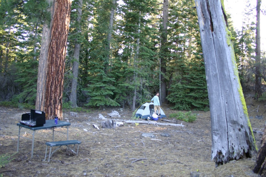
There are multiple Forest Service campgrounds on Medicine Lake, plus two nearby at Blanche Lake and Bullseye Lake.  Dirt roads in Modoc, Shasta, and Klamath National Forests have ample dispersed camping opportunities.

Related Sites

Lava Beds National Monument (California)

Tule Lake National Monument (California)

Lassen National Forest (California)

Berryessa Snow Mountain National Monument (California)

Nearest National Park

Lassen Volcanic

Explore More – Sáttítla translates as “obsidian place” from which indigenous language?

Learn more about the other 137 National Monuments in our book Monumental America: Your Guide to All 138 National Monuments

Modoc National Forest

Modoc National Forest

California

Managed by U.S. Forest Service, Pacific Southwest Region

1,979,327 acres (1,663,401 federal/ 315,926 other)

Website: https://www.fs.usda.gov/r05/modoc

Overview

In the northeast corner of California, Modoc National Forest contains the largest shield volcano in North America: 7,921-foot Medicine Lake Volcano.  This region has a long history of volcanism, as seen at Pumice Stone Mountain, Burnt Lava Flow, High Hole Crater, Hot Spot, and Glass Mountain (composed of rhyolite obsidian and glossy dacite).  The basalt-topped plateau of Devil’s Garden is home to an 800-acre stand of western juniper.  East of Goose Lake, the Warner Mountains rise from 4,300 feet to 9,892-foot Eagle Peak, and are covered by a mixed conifer forest of lodgepole pine, whitebark pine, ponderosa pine, incense-cedar, and red fir. 

Know someone who loves the National Forests? Gift them our travel guidebook Out in the Woods so they can learn more about all 155 National Forests.

Highlights

Sáttítla Highlands National Monument, Volcanic Legacy Scenic Byway, Medicine Lake Recreation Area, Glass Mountain, Devil’s Garden Natural Area, Mill Creek Falls, Highgrade National Recreation Trail, Pine Creek Trail

Must-Do Activity

Medicine Lake offers boat ramps, trails, and campgrounds and nearby is Giant Crater, which has the longest known lava tube system in the world at 18 miles (although it is partially collapsed).  Located up a dirt road often blocked by snowdrifts late into the summer, Glass Mountain has a crater full of sharp pieces of rhyolite obsidian and glossy dacite.  This remote corner of California has some of the darkest skies in the continental U.S., so it is great for stargazing on moonless nights.  In the winter, snowmobiling and cross-country skiing are popular activities on groomed trails.  The South Warner Mountain Wilderness is traversed by the 21-mile Summit Trail that passes Eagle Peak, the Devil’s Knob, and The Slide. Mill Creek Falls is also in the Warner Mountains, accessed by a 3.4-mile out-and-back trail.

Best Trail

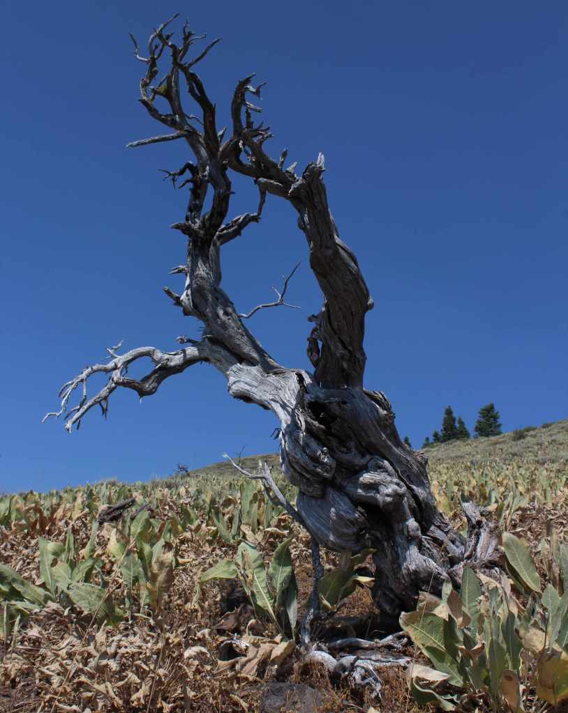
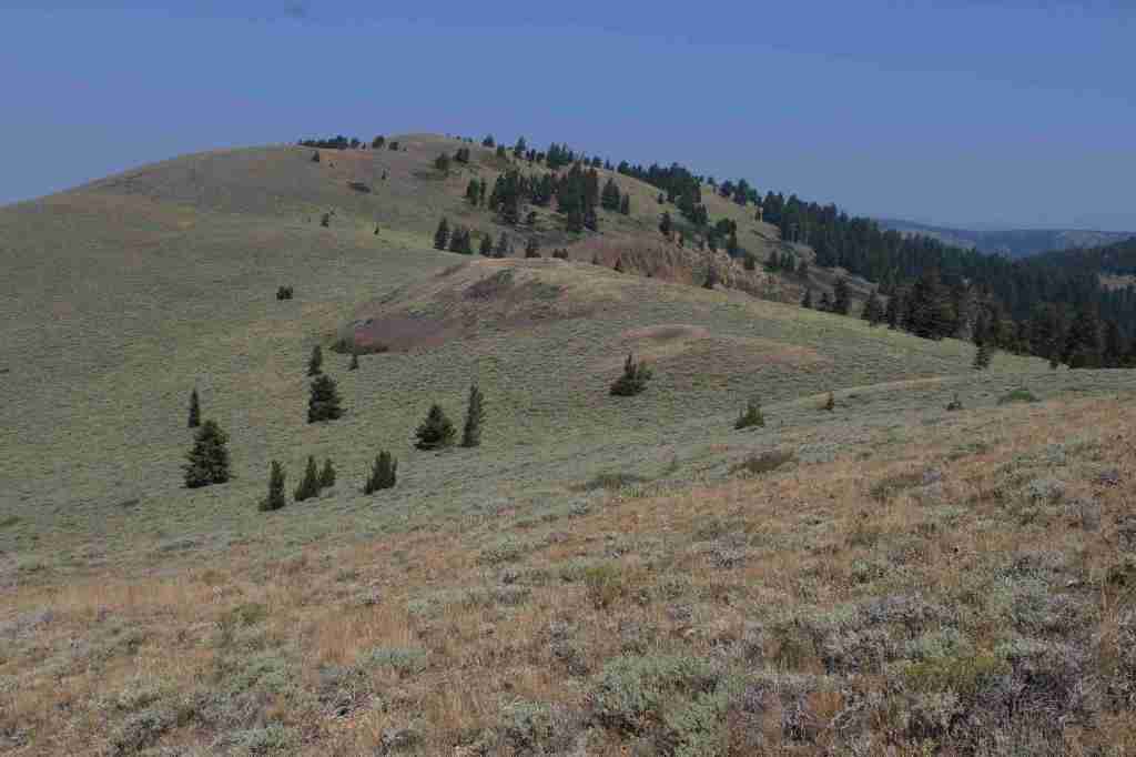
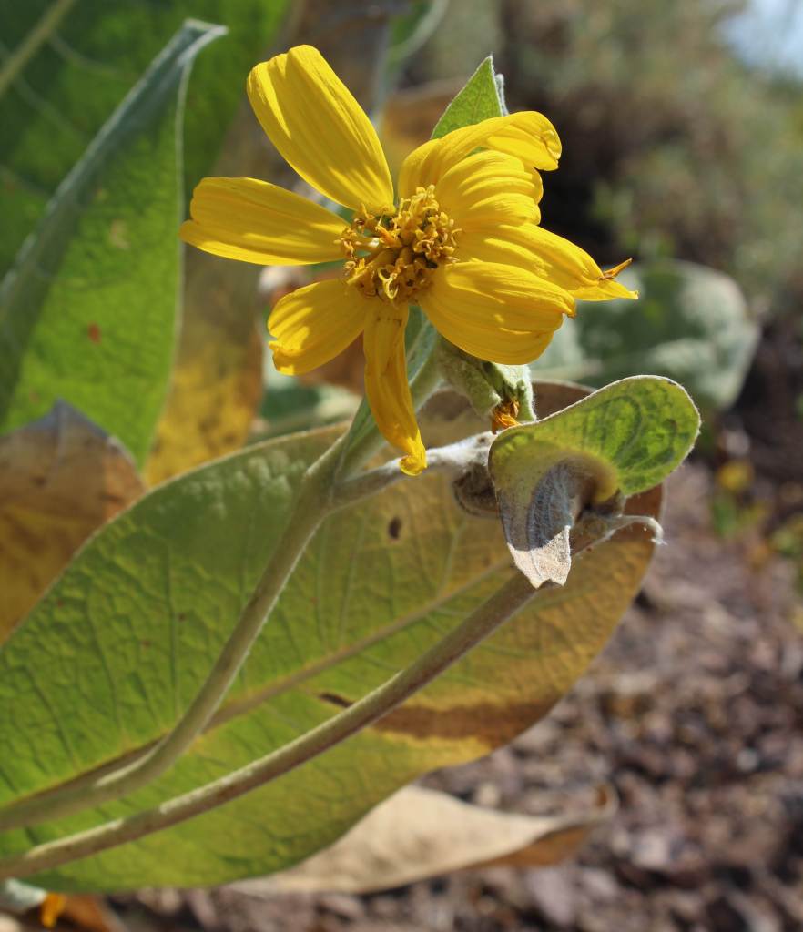
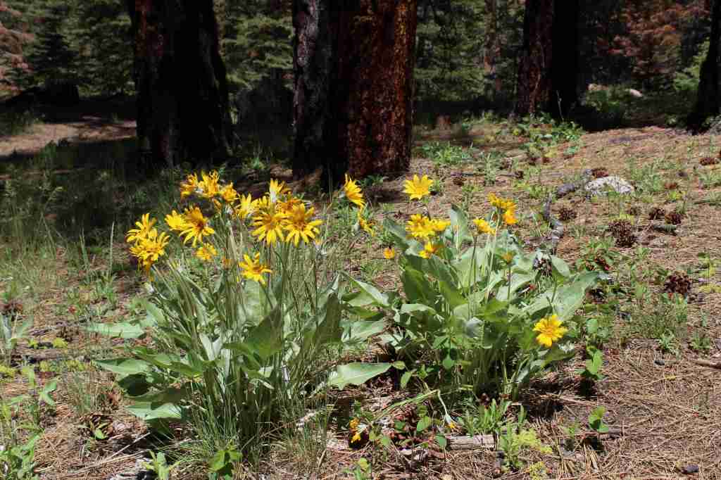
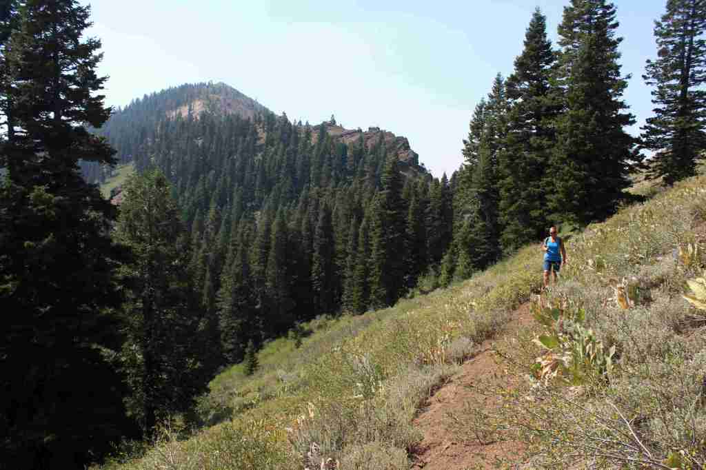
In the Warner Mountains near the border with Oregon’s Fremont National Forest, the 5.5-mile one-way Highgrade National Recreation Trail provides excellent views of Goose Lake.  The trailhead is reached by taking paved County Road 9 five miles east from Highway 395 then turning north on the steep and unpaved Del Pratt Spring Road (Forest Road 47N72) for 6.3 miles.  The trail quickly leaves the shade of the forest as it steadily climbs 800 feet through a slope covered in woolly mule’s ears flowers to a saddle west of 8,224-foot Mt. Vida.  It is possible to summit Mt. Vida from this point, but the trail heads away toward Yellow Mountain following Forest Road 48N10.

Watchable Wildlife

Modoc National Forest borders Lower Klamath National Wildlife Refuge, in addition to Tule Lake, Clear Lake, and Modoc National Wildlife Refuges.  These wetlands provide habitat crucial for bird nesting and migration on the Pacific Flyway.  The many lava tubes provide habitat for numerous species of bats, in addition to violet-green swallows and bushy-tailed woodrats.  Larger mammals include mule deer, pronghorn, badger, skunk, raccoon, pika, jackrabbit, yellow-bellied marmot, coyote, bobcat, and mountain lion.  Large birds found here are great horned owl, short-eared owl, and bald eagle (winter resident).  Reptiles are abundant, including the western fence lizard, northern sagebrush lizard, western skink, Rocky Mountain rubber boa, gopher snake, desert night, and western rattlesnake.

Photographic Opportunity

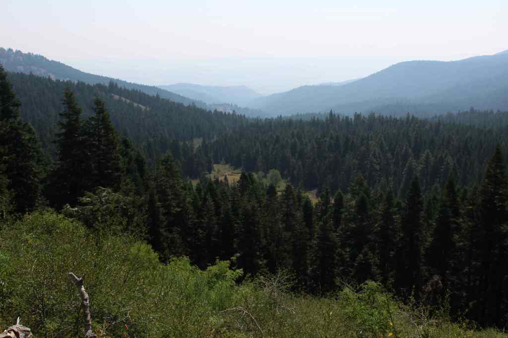
Not far up the steep Highgrade National Recreation Trail there are excellent views of Goose Lake to the west.

Peak Season

Summer

Fees

$5 per vehicle (or the America the Beautiful Pass) at Medicine Lake

Road Conditions

This area receives abundant winter snowfall, and roads can be blocked by snow into July, which we experienced trying to get to Glass Mountain.  The road to Medicine Lake is paved, but almost every other road through the National Monument is unpaved, some requiring a high-clearance vehicle.  Giant Crater is a Geologic Special Interest Area that can be accessed two miles off Medicine Lake Road on Forest Road 43N11. 

Camping

There are multiple Forest Service campgrounds on Medicine Lake, plus two nearby at Blanche Lake and Bullseye Lake.  Dirt roads in Modoc National Forest provide ample dispersed campsites.

Wilderness Areas

South Warner Wilderness

Related Sites

Lava Beds National Monument (California)

Tule Lake National Monument (California)

Sáttítla Highlands National Monument (California)

Butte Valley National Grassland (California)

Nearest National Park

Lassen Volcanic

Conifer Tree Species

ponderosa pine, whitebark pine, red fir, incense-cedar, white fir, lodgepole pine, western white pine, Jeffrey pine, incense-cedar, western juniper

Flowering Tree Species

quaking aspen, curlleaf mountain mahogany, elderberry, sagebrush

Explore More – The Modoc Tribe traditionally lived in this area and the Klamath called them “Moadok Maklaks” that translates as what?

Learn more about this and the 154 other National Forests in our new guidebook Out in the Woods