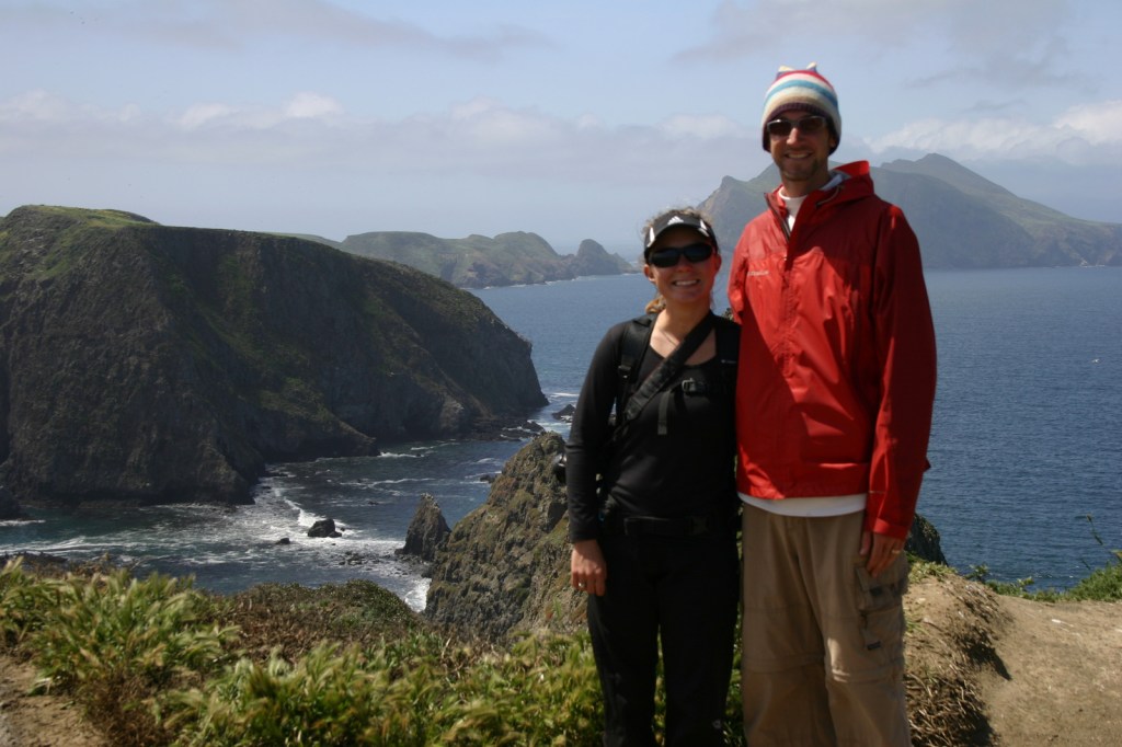
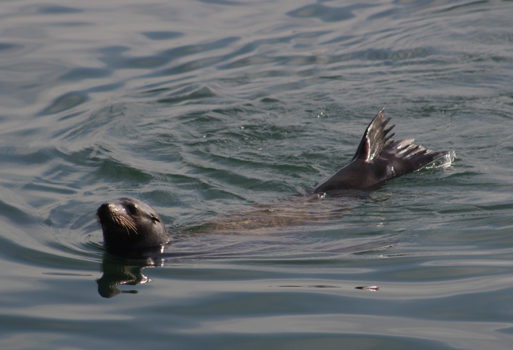
Overview
Assateague Island National Seashore was authorized in 1963, twenty years after neighboring Chincoteague National Wildlife Refuge was established to protect migratory birds, like the greater snow goose. In combination with Assateague State Park they protect a 37-mile stretch of undeveloped shoreline that crosses the border of Maryland and Virginia (and is very close to Delaware). The National Park Service (NPS) manages the National Seashore and the U.S. Fish and Wildlife Service manages the National Wildlife Refuge, but there is also an NPS visitor center at the refuge.

Highlights
Museum, film, Assateague Lighthouse, wildlife, kayaking, swimming, beachcombing
Must-Do Activity
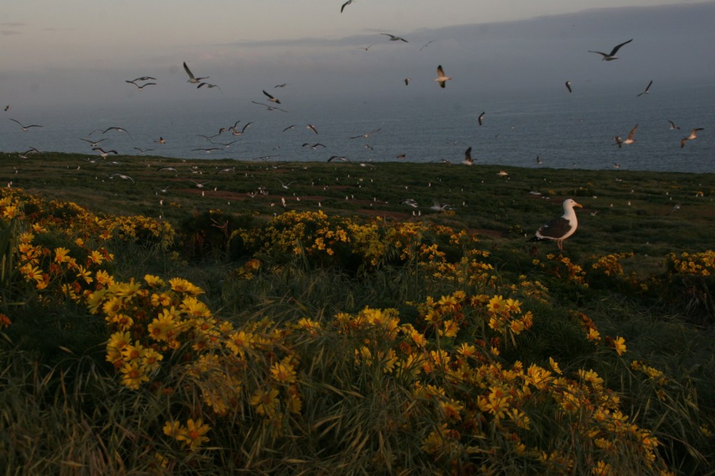
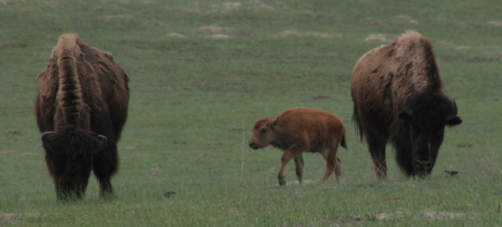
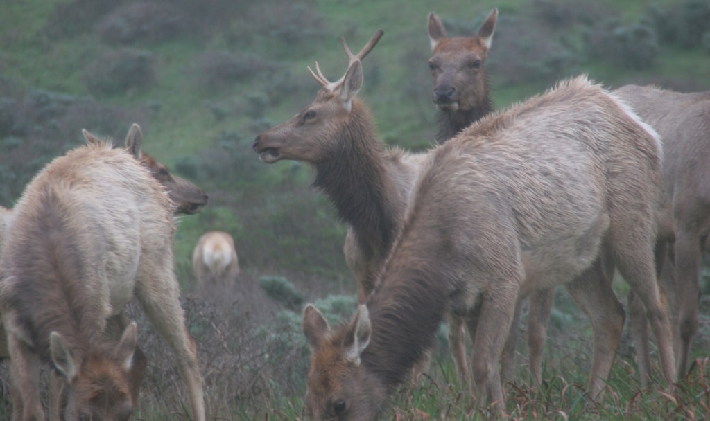
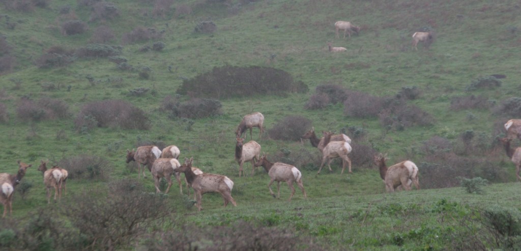
Assateague Island’s most renowned residents are its wild ponies, purported to have swum ashore from a wrecked Spanish galleon. Every year since the 1700s, the Chincoteague Volunteer Fire Company has herded the ponies that live on Assateague Island for an auction to raise funds for firefighting. This annual event was chronicled in the classic children’s book Misty of Chincoteague by Marguerite Henry (which made our Top 10 NPS Novels list). The ponies can often spotted by hikers on the Woodland Trail, a three-mile loop hike. Nearby there is also a free NASA visitor center at Wallops Flight Facility where they launch rockets.
Best Trail
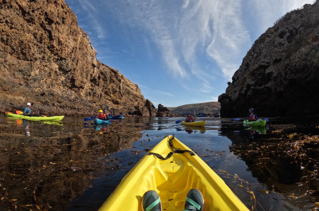
We mentioned the Woodland Trail above, but this park is all about walking the beach, especially the 10 miles of wild beach only accessible by foot within Chincoteague National Wildlife Refuge.
Instagram-worthy Photo
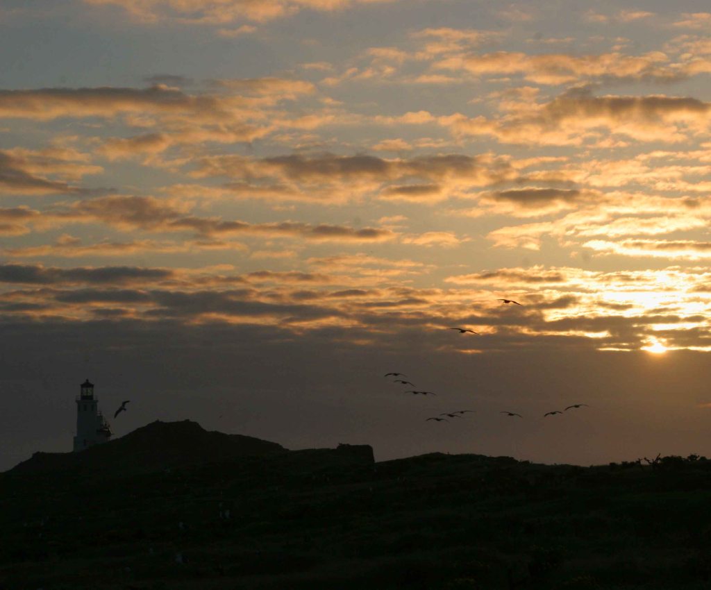
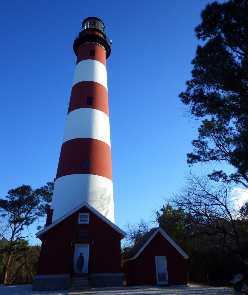
The first Assateague Lighthouse was built in 1833, while the structure seen today was completed in 1867.
Peak Season
Summer
Hours
https://www.nps.gov/asis/planyourvisit/hours.htm
Fees
$25 per vehicle or America the Beautiful pass
Road Conditions
The access roads are paved, but with a permit you can drive 13 miles of beach on the Maryland side and five miles on the Virginia side. It takes about 1.2 hours to drive the highways between the north and south bridges to Assateague Island.
Camping
On the Maryland side, the NPS operates two campgrounds with cold showers, but the one in Assateague State Park offers hot showers. Two oceanside backpacking camps and four bayside kayak-in camps are also available by permit.
Related Sites
Harriet Tubman Underground Railroad National Historical Park (Maryland)
First State National Historical Park (Delaware)
Cape Hatteras National Seashore (North Carolina)

Sunrise 
Tiff collecting shells on the beach. It was pretty cold in February, in the low 40s with some serious wind. 
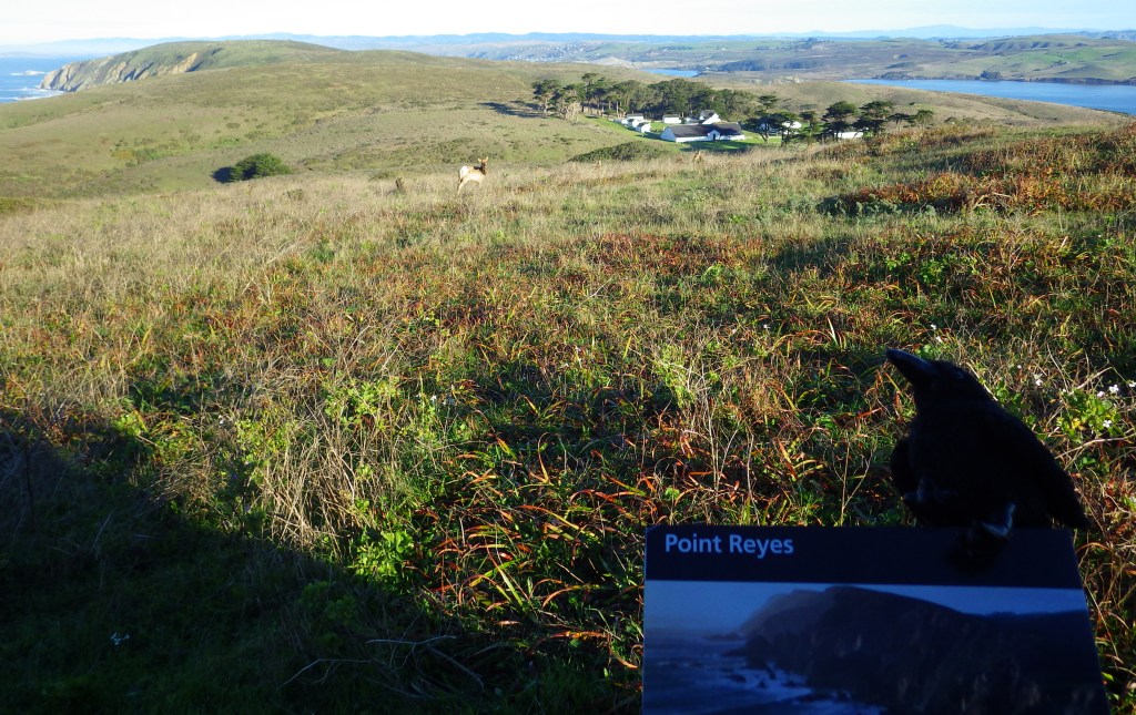
Woodland Trail 
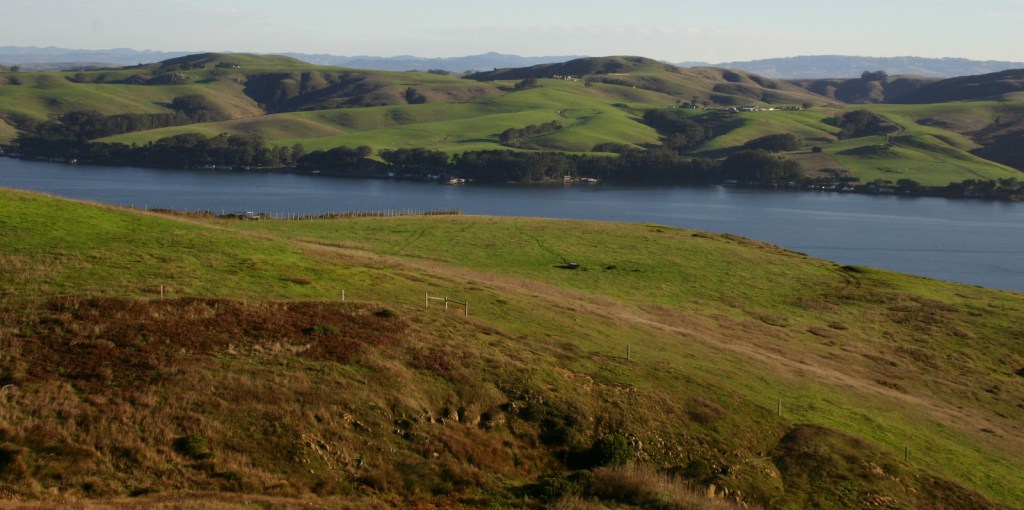
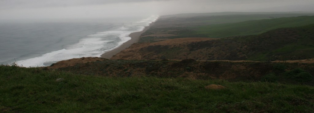
Bay side 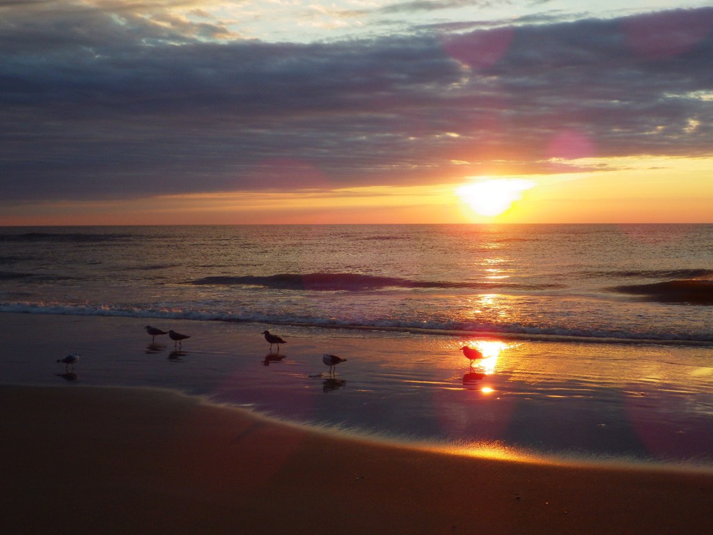

Tiff in the visitor center 
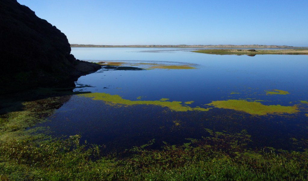
Bay side 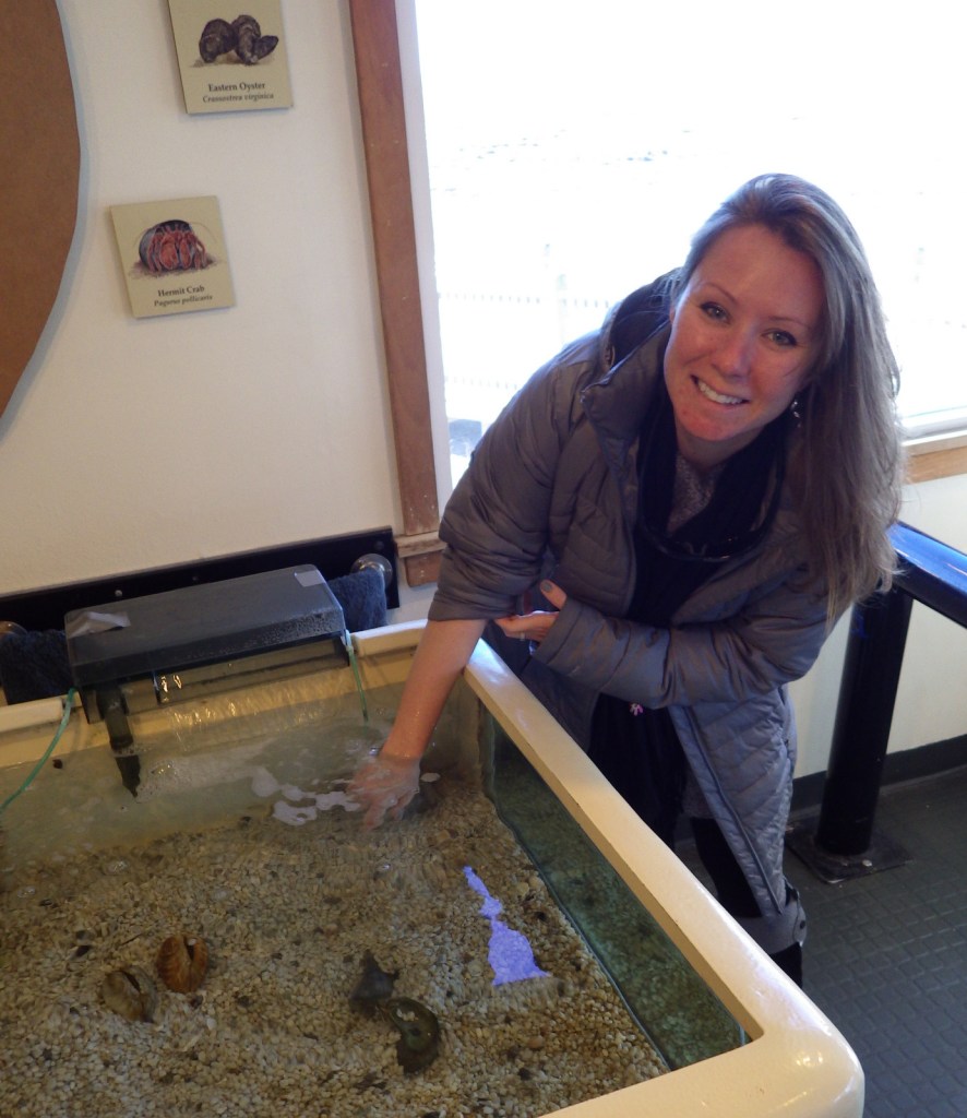
Tiff in the visitor center 
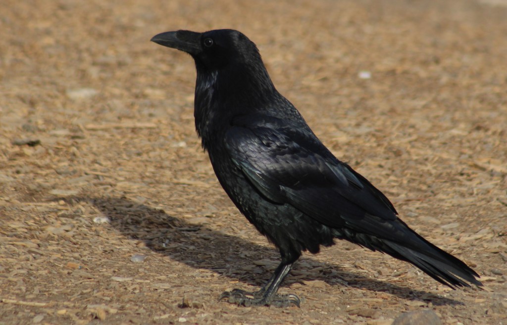
Turkey vulture flying by the lighthouse. 
The lighthouse was rebuilt in 1867 
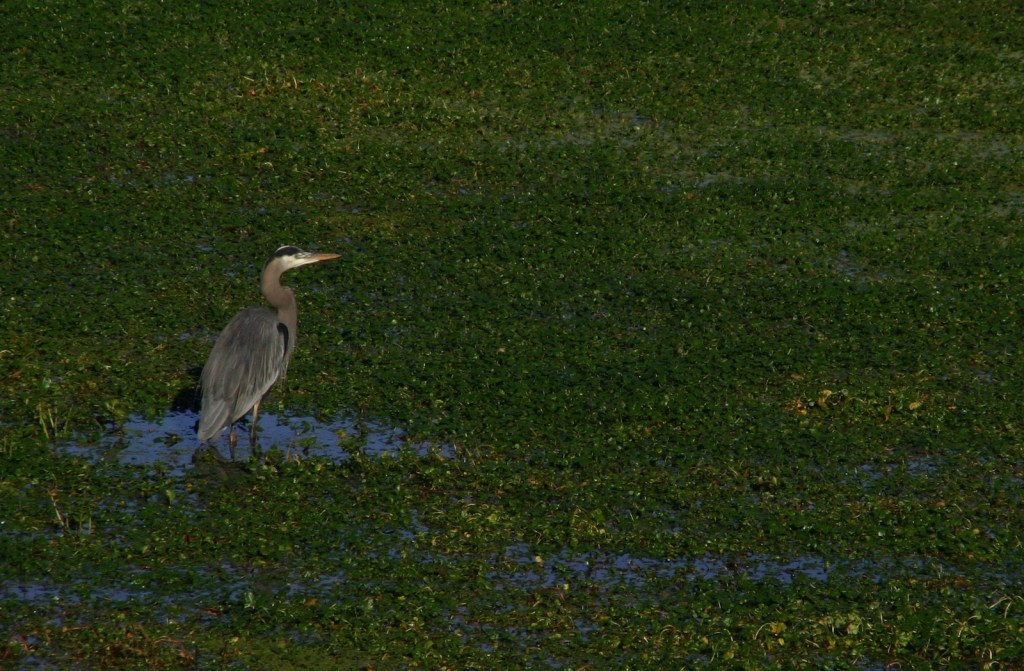
A great blue heron in breeding plummage.
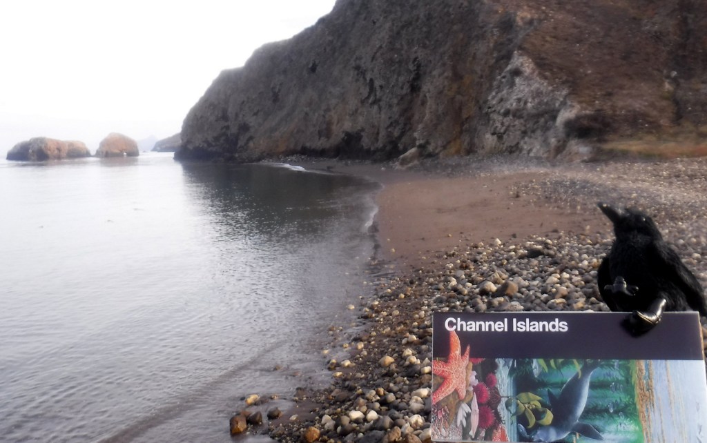
Explore More – Not just a safe haven for wild ponies, where in the National Seashore do seahorses anchor to underwater grasses?