Tag Archives: kayaking

Deschutes National Forest

Deschutes National Forest

Oregon

Managed by U.S. Forest Service, Pacific Northwest Region

1,853,929 acres (1,596,900 federal/ 257,029 other)

Website: https://www.fs.usda.gov/deschutes

Overview

Bend, Oregon is the gateway to Deschutes National Forest, with the beautiful Cascade Lakes Scenic Byway located west of town.  To the south, Newberry National Volcanic Monument is also managed by the U.S. Forest Service, which we will cover in our next blog post.  The Deschutes River was named La Rivière aux Chutes by French trappers because Celilo Falls was located near its confluence with the Columbia River.  Deschutes National Forest contains five Wilderness areas, six National Wild and Scenic Rivers, Metolius Conservation Area, and part of Oregon Cascade Recreation Area (mostly in Umpqua National Forest).
Highlights

Newberry National Volcanic Monument, Cascade Lakes Scenic Byway, Devils Lake, Mt. Bachelor, Sparks Lake, Broken Top, Three Sisters, McKenzie Pass-Santiam Pass Scenic Byway, Skeleton Cave, Pacific Crest National Scenic Trail

Must-Do Activity

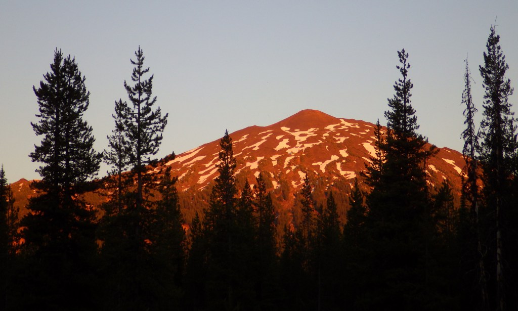
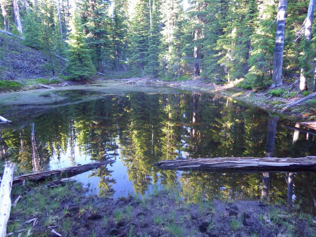
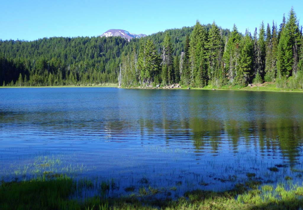
The 66-mile-long (89-mile loop) Cascade Lakes Scenic Byway curves around the mountains west of Bend past numerous lakes reflecting multiple snow-capped peaks—a real photographers’ paradise.  To spend the golden hours up here, consider staying at campgrounds on the shores of Lava Lake or Sparks Lake with excellent views of Broken Top and South Sister Peak.  Like Mt. Hood to the north, 9,065-foot Mt. Bachelor is known for its ski resort.  A summer trip up Pine Marten Express Lift offers unsurpassed panoramas of the Cascades and Newberry National Volcanic Monument.

Best Trail

Sisters Mirror Lake is four miles and 650 feet up from a trailhead on the Cascade Lakes Scenic Byway and is located on the Pacific Crest National Scenic Trail.  Just as a warning, this entire trail was thick with aggressive mosquitoes on our hike in mid-July.

Watchable Wildlife

Elk, pronghorn, and mule deer are large ungulates found in Deschutes National Forest.  Carnivorous mammals include black bears, coyotes, mountain lions, and bobcats.  Large birds frequently seen are bald eagles, Canada geese, mallards, and whistling swans, and the northern spotted owl is a species of concern.  There are many lakes found throughout the National Forest that support a variety of gamefish, including bull trout (a threatened species).

Instagram-worthy Photo

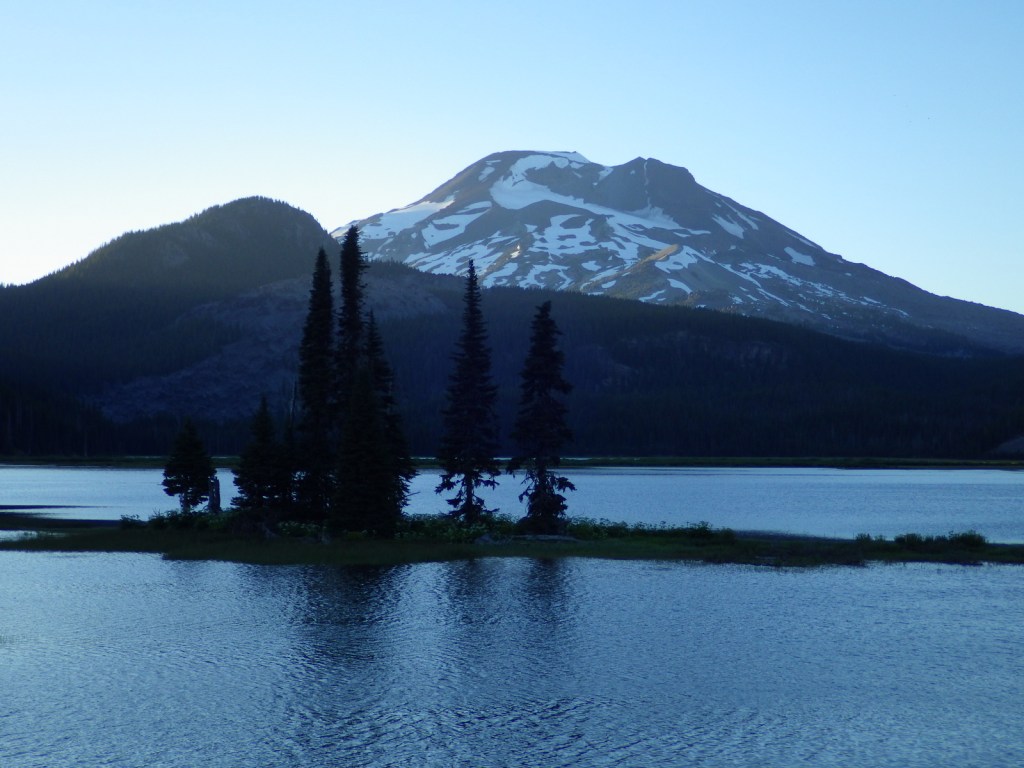
Sparks Lake is a great place to watch the sun set behind the Cascades.
Peak Season

Summer

Fees

There is a day use fee for Newberry National Volcanic Monument.

Road Conditions

Cascade Lakes Scenic Byway is paved, as are the main roads into Newberry National Volcanic Monument, but there are many miles of logging roads to explore, too.

Camping

Campgrounds on the shores of Lava Lake or Sparks Lake provide views of Broken Top and South Sister Peak.  Walk-in campsites on crystal clear Devils Lake offer a bit more secluded experience.

Wilderness Areas

Diamond Peak Wilderness (also in Willamette National Forest)

Mt. Jefferson Wilderness (also in Mt. Hood and Willamette National Forests)

Mt. Thielsen Wilderness (also in Umpqua and Winema National Forests)

Mt. Washington Wilderness (also in Willamette National Forest)

Three Sisters Wilderness (also in Willamette National Forest)

Related Sites

Newberry National Volcanic Monument (Oregon)

Crooked River National Grassland (Oregon)

John Day Fossil Beds National Monument (Oregon)

Nearest National Park

Crater Lake

Conifer Tree Species

ponderosa pine, lodgepole pine, western white pine, sugar pine, western juniper, Douglas-fir, western redcedar, white fir, subalpine fir

Flowering Tree Species

quaking aspen, balsam poplar, Bebb willow

Explore More – The namesake of the Deschutes River (Celilo Falls) is now underwater behind what dam on the Columbia River?

Learn more about this and the 154 other National Forests in our new guidebook Out in the Woods

We are a participant in the Amazon Services LLC Associates Program, an affiliate advertising program designed to provide a means for us to earn fees by linking to Amazon.com and affiliated sites.
Katmai National Park and Preserve

Katmai National Park and Preserve

Alaska

Managed by National Park Service

Established 1918 National Monument, 1980 National Park

3,674,529 acres

Website: nps.gov/katm

Overview

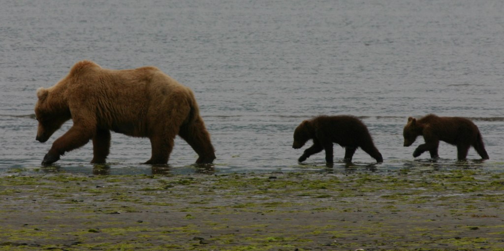
Katmai National Monument was created after the Novarupta Volcano erupted in 1912 (an event recorded in the skinny tree rings grown throughout Alaska that year).  Ash fell in Seattle (1,500 miles away) and piled up to 700 feet deep in the Valley of Ten Thousand Smokes.  The valley is no longer smoking, but it is there are still 15 active volcanoes within the park’s boundaries.  This remote park on the Alaska Peninsula has few roads and is only accessible by airplane (typically equipped with floats for water landings).  Oh yeah, and there are lots of grizzly bears, or brown bears as they are called in coastal areas of Alaska.

Highlights

Brooks Falls, North Arm of Naynek Lake, Hallo Bay, Valley of Ten Thousand Smokes, Baked Mountain Huts, Savonoski Loop

Must-Do Activity

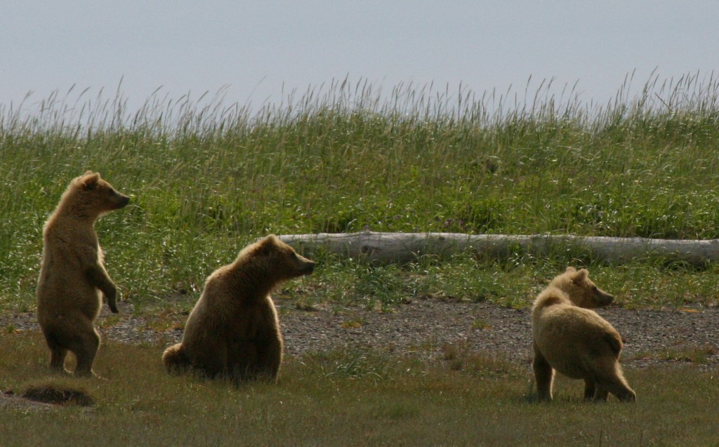
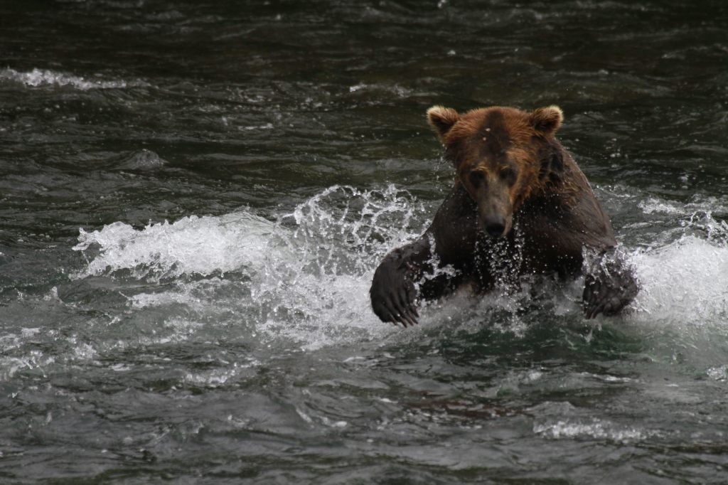
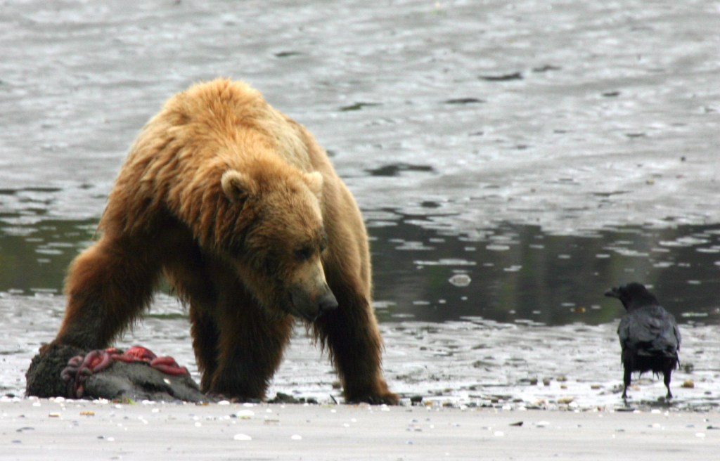
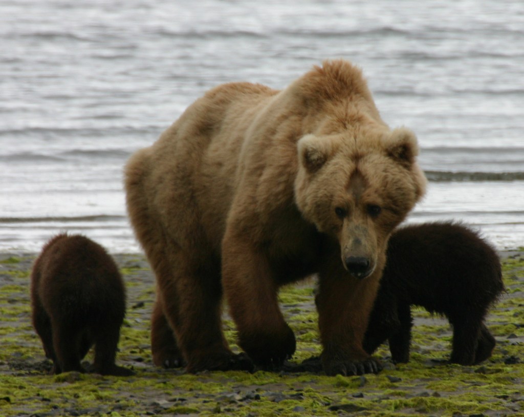
The grizzly/brown bears of Brooks Falls are celebrities due to the annual Fat Bear Week vote for the chunkiest bear on social media.  Less famous are the bears that hang out around Hallo Bay on the coastline, eating grass and shellfish until the salmon arrive.  Regardless of your destination, flights from road-accessible portions of Alaska (like Homer and Kenai) can be quite costly.  Most of the approximately 50,000 annual visitors come only for a day trip, although there are three expensive lodges and a campground in the park.

Best Trail

Brooks Falls Trail connects the Lower River Bear Viewing Platform 1.2 miles to the Falls and Riffles Platforms at Brooks Falls.  Near the visitor center, the short Cultural Site Trail visits a prehistoric camp and reconstructed dwelling.

Instagram-worthy Photo

Brooks Falls is a world-class destination for wildlife photographers from around the world, so you might want to bring along a camera with a good zoom lens if you pay to get there during the peak months of July and September. This photo is from Scott’s father (see more of his photos and paintings at Bruce Sink.com)

Peak Season

Summer

Hours

https://www.nps.gov/katm/planyourvisit/hours.htm

Fees

The National Park Service does not charge an entry fee, but it is very expensive to fly to Brooks Camp or Hallo Bay.

Road Conditions

There is a 23-mile long road that leads from Brooks Falls to the Valley of Ten Thousand Smokes and a daily eight-hour ranger-guided bus tour is available in the summer.  Backpackers can buy one-way tickets and explore the area, with the Baked Mountain Huts a popular destination 12 miles away across two difficult river crossings.

Camping

There are 60 sites at Brooks Camp Campground (reservations required prior to arrival), which is surrounded by an electric fence to keep bears out.

Related Sites

Kenai Fjords National Park (Alaska)

Lake Clark National Park and Preserve (Alaska)

Denali National Park and Preserve (Alaska)

Explore More – How many grizzly/brown bears are estimated to live within Katmai National Park and Preserve?

We are a participant in the Amazon Services LLC Associates Program, an affiliate advertising program designed to provide a means for us to earn fees by linking to Amazon.com and affiliated sites.

St. Croix National Scenic Riverway

Overview

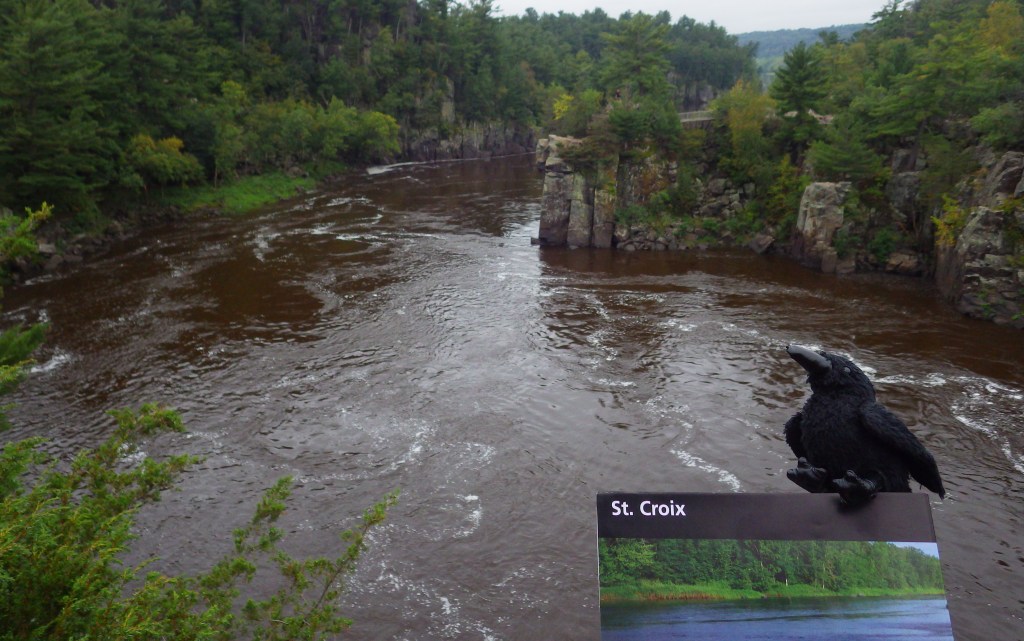
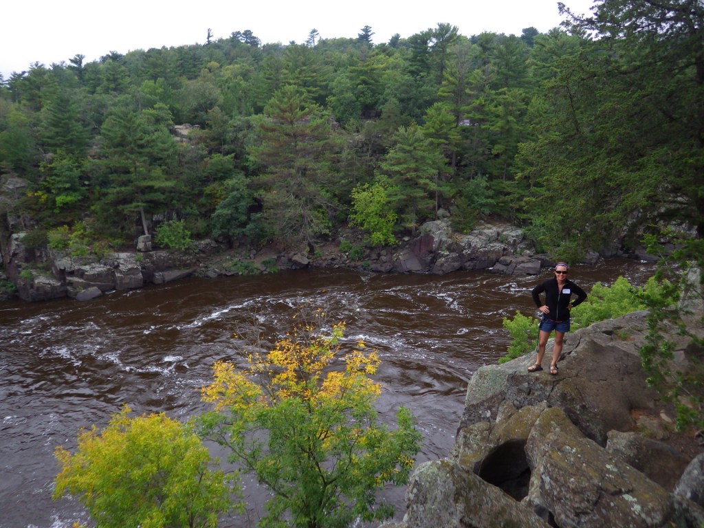
Since 1972, about 255 miles of the St. Croix and Namekagon Rivers have been protected along the Minnesota-Wisconsin border.  It is a popular route for paddlers and tube floaters, in addition to providing invaluable habitat for a variety of wildlife, including beavers, great blue herons, and 40 species of native mussels.  There are a few dams along the rivers and regulations vary by who manages different sections, so it is important to know the rules before you launch your boat.

Highlights

Trego Nature Trail, Sandrock Cliffs, Interstate State Parks

Must-Do Activity

There is a long scenic byway that follows the St. Croix River north from its confluence with the Mississippi River (south of Minneapolis) near the Great River Road Visitor Center in Prescott, Wisconsin.  The National Park Service (NPS) manages the seasonal Namekagon River Visitor Center on a stretch of water that is good for floating.  If you do not have a boat, just down the road try the 2.8-mile roundtrip Trego Nature Trail that follows the Namekagon River through a forest of white pine, bigtooth aspen, and paper birch trees.

Best Trail

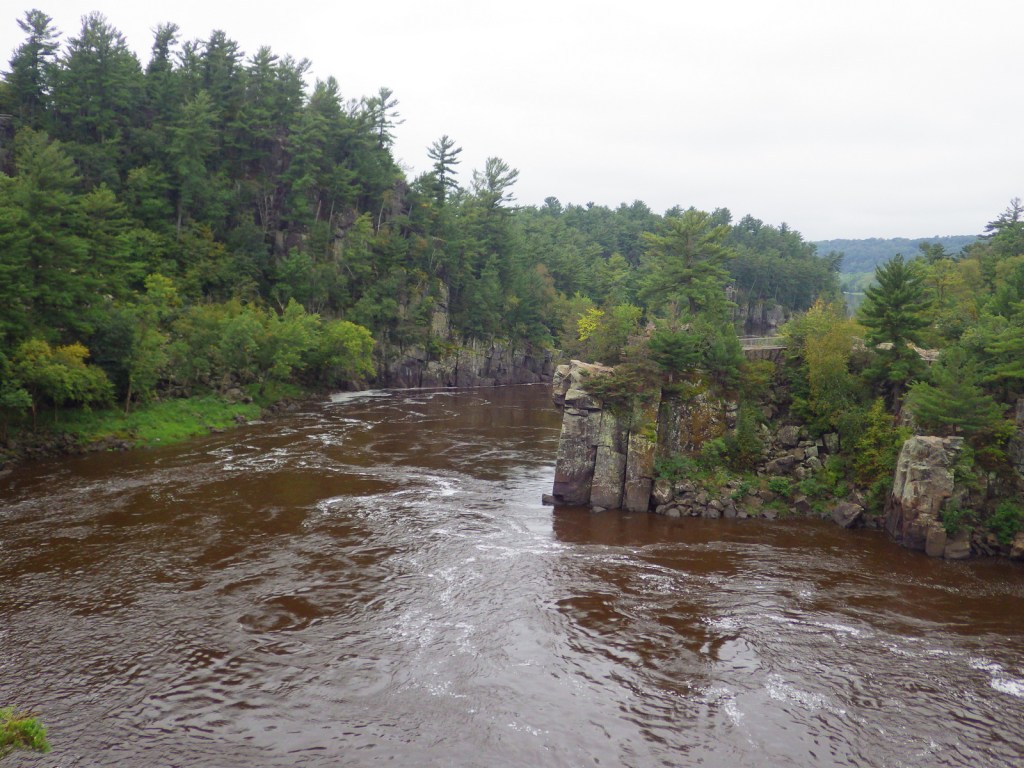
Wisconsin Interstate State Park is located on the St. Croix River and is the western terminus for the partially completed 1,200-mile long Ice Age National Scenic Trail.

Instagram-worthy Photo

Both Minnesota and Wisconsin Interstate State Parks are great places to learn about potholes (up to 15-foot deep bowls carved into solid rock) formed by boulders caught in whirlpools during glacial melting.

Peak Season

Summer

Hours

https://www.nps.gov/sacn/planyourvisit/hours.htm

Fees

None

Road Conditions

All main roads are paved, but some (like the side road to Trego Nature Trail) are good gravel.

Camping

Developed campgrounds can be found in the numerous state parks and state forests along the rivers.  Only designated riverside campsites can be used by those paddling (except in the Stillwater Islands area), but no reservations are accepted.
Related Sites

Mississippi National River and Recreation Area (Minnesota)

Apostle Islands National Lakeshore (Wisconsin)

Voyageurs National Park (Minnesota)

Explore More – A major proponent of creating this park, Senator Gaylord Nelson was born in Clear Lake, Wisconsin and helped pass the Wild and Scenic Rivers Act, as well as founding what annual holiday in 1970?

Bighorn Canyon National Recreation Area

Overview

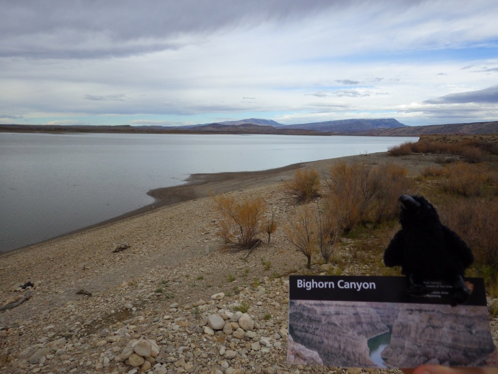
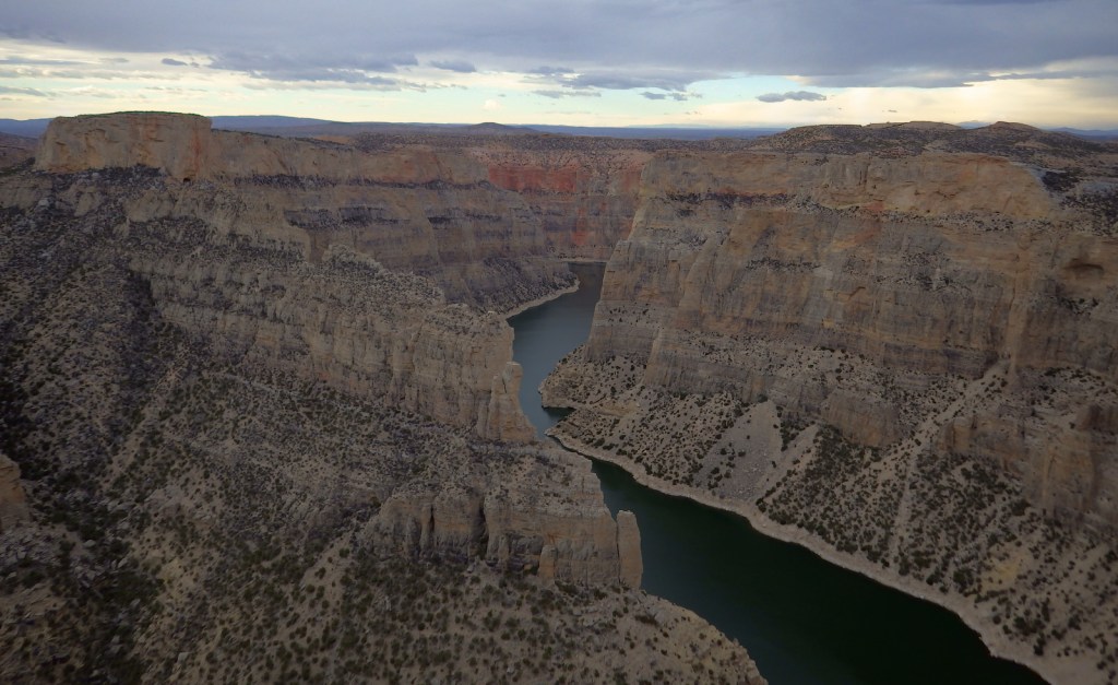
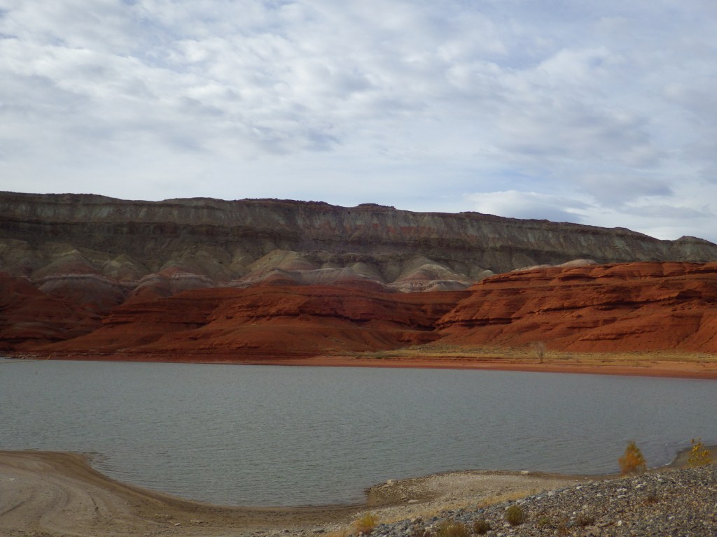
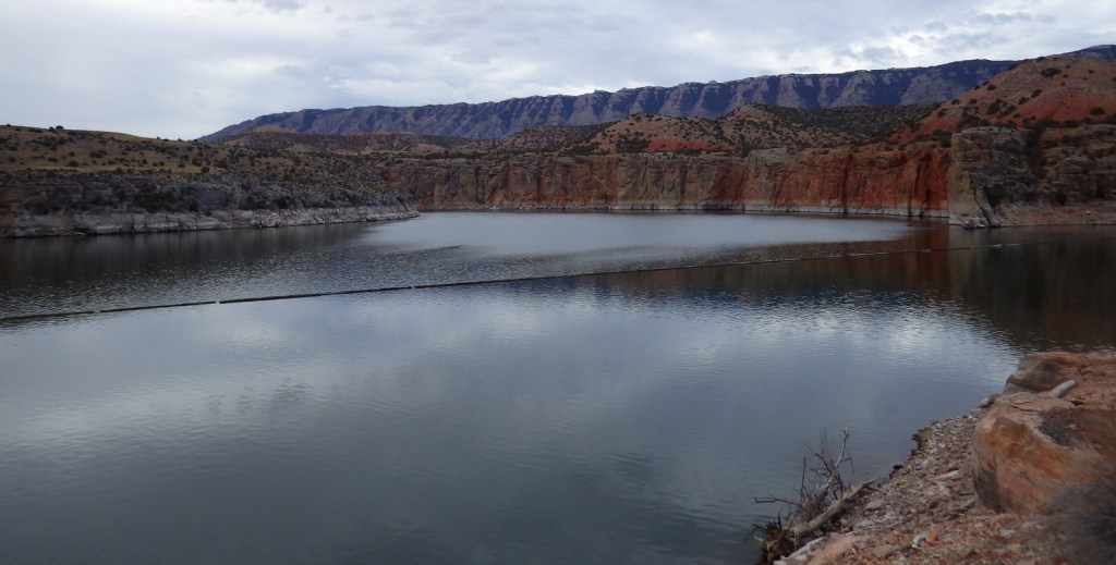
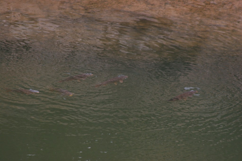
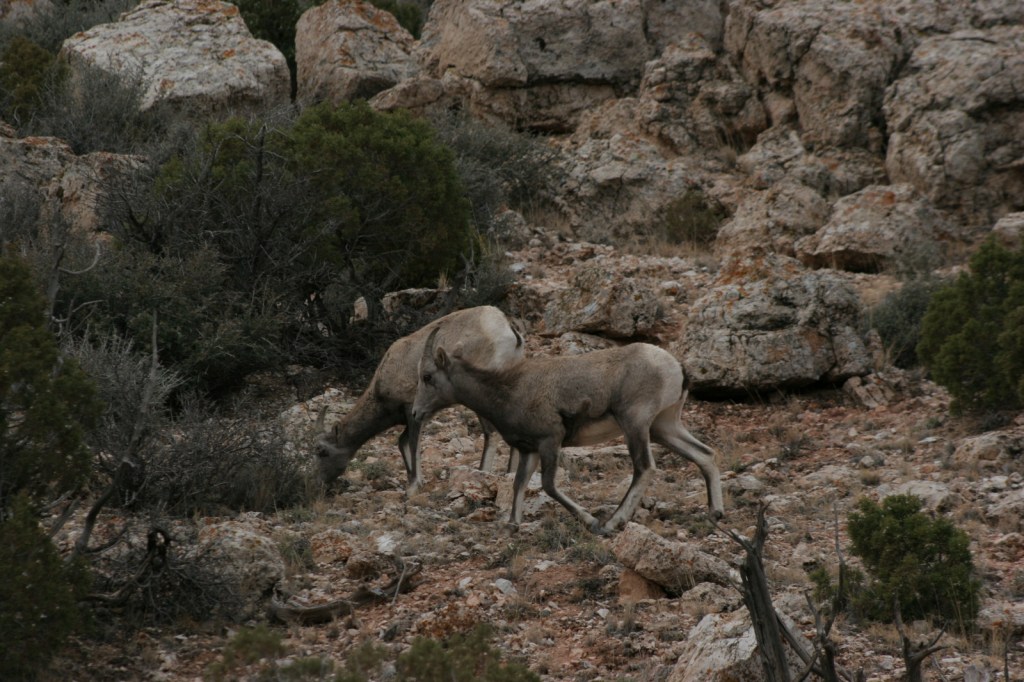
Bighorn Canyon National Recreation Area is an underappreciated gem in the National Park Service (NPS) system.  It has gorgeous scenery, a winding reservoir, and abundant wildlife, including bighorn sheep and wild horses.  The 525-foot tall Yellowtail Dam was completed in 1968, creating a 71-mile long reservoir, the majority of which is in narrow Bighorn Canyon where cliffs soar up to 2,000 feet above the water.

Highlights

Devil Canyon Overlook, Hillsboro Dude Ranch, Horseshoe Bend, Yellowtail Dam

Must-Do Activity

No road connects the north and south portion of the park, making for a long drive between the NPS visitor center in Lovell, Wyoming and the one at the Yellowtail Dam in Montana.  Thus, it is best to choose either one side or the other and explore the canyon by boat.  Devil Canyon Overlook and most of the 27 miles of hiking trails are in the southern section.  This is also where the Pryor Mountain Wild Horse Range enters into Bighorn Canyon National Recreation Area.  In the summer there are lifeguards at the designated swimming areas at Horseshoe Bend and Ok-A-Beh.

Best Trail

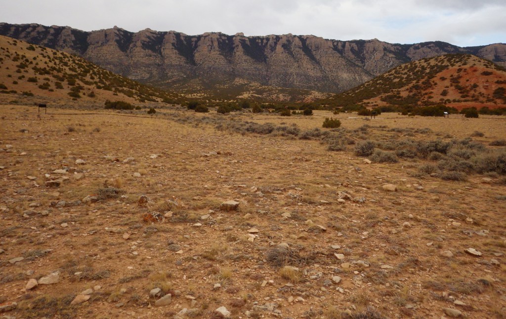
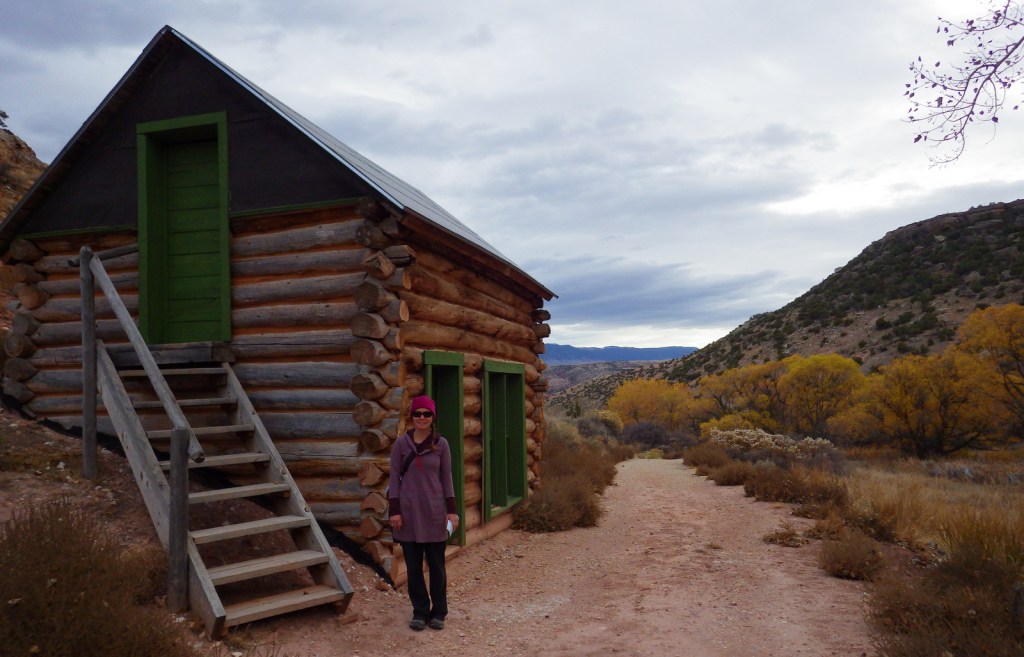
The southern portion of Bighorn Canyon National Recreation Area has trails to historic sites like Hillsboro Dude Ranch and several tipi rings found along Bad Pass Trail, a route which has seen over 10,000 years of human use.

Instagram-worthy Photo

If you are unable to get out on the water, the highlight of the park is Devil Canyon Overlook where the cliffs drop over 1,000 feet straight down to the lake.

Peak Season

Summer

Hours

https://www.nps.gov/bica/planyourvisit/hours.htm

Fees

None

Road Conditions

Almost every road is paved, but they are narrow and winding so may not be advisable for very long RVs.

Camping

There are drive-in campgrounds (fee) in both states, as well as free boat-in campgrounds on the Montana side.  Backcountry camping is allowed below the highwater mark of Bighorn Lake.

Related Sites

Little Bighorn Battlefield National Monument (Montana)

Devils Tower National Monument (Wyoming)

Jewel Cave National Monument (South Dakota)

Explore More – The Yellowtail Dam is named after whom?

Canaveral National Seashore

Overview

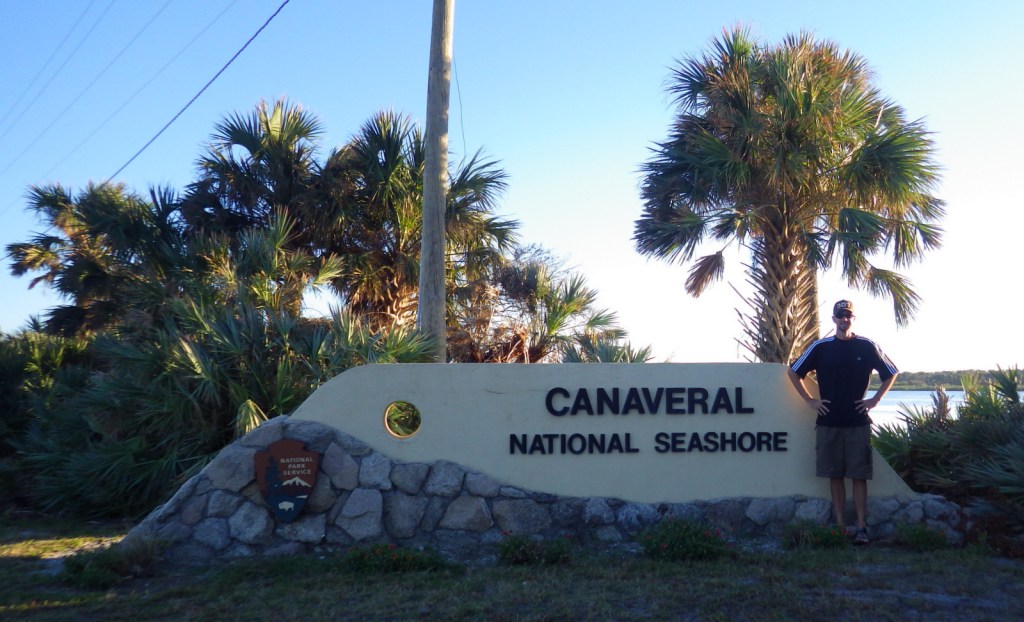
When NASA (National Aeronautics and Space Administration) prevented this portion of Florida coast from development in the 1950s, surely they did not imagine it would soon become one of the last long stretches of wild coastline left on the Atlantic seaboard.  The area north of John F. Kennedy Space Center was set aside as Canaveral National Seashore (in 1975) and Merritt Island National Wildlife Refuge (in 1963).

Highlights

Eldora State House, shell mounds, wildlife, fishing, kayaking, beaches

Must-Do Activity

About 310 avian species have been spotted in Merritt Island National Wildlife Refuge.  Other than birds, we were excited to see our first living armadillo and manatee outside of a zoo.  Despite its unappealing name, Mosquito Lagoon is a nice spot for fishing and paddling.  We hope someday to return to witness a rocket launch from John F. Kennedy Space Center.

Best Trail

Human activity in Canaveral National Seashore is evident in Timucuan shell mounds that date back thousands of years, with a separate trail to Eldora State House preserving more recent history.  At the southern end of the park in Merritt Island National Wildlife Refuge, you will find Oak and Palm Hammock Trails, as well as Cruickshank Trail that leads to an observation tower.

Instagram-worthy Photo

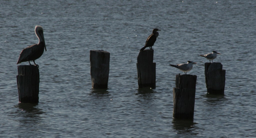
The park ranger told us the most likely place to see a West Indian manatee was at the boat launch in New Smyrna Beach, Florida just north of the park boundary.  There were also dolphins, great blue herons, anhingas, great egrets, ospreys, brown pelicans, and royal terns.

Peak Season

Summer

Hours

https://www.nps.gov/cana/planyourvisit/hours.htm

Fees

$20 per vehicle day use or America the Beautiful pass

Road Conditions

The main access roads are paved, but the six-mile Black Point Wildlife Drive and some boat launches are not.  Unlike at other National Seashores, there is no driving on the beach allowed, but you can bicycle or walk to remote Klondike Beach.

Camping

Inside the park boundaries there are no campgrounds, but backcountry camping is allowed with a permit.

Related Sites

Castillo de San Marcos National Monument (Florida)

Cumberland Island National Seashore (Georgia)

Fort Caroline National Memorial (Florida)

Explore More – What did engineers build in the 1950s to limit the breeding area for saltmarsh mosquitoes?