Mt. Baker National Forest
Washington
Managed by U.S. Forest Service, Pacific Northwest Region
1,330,316 acres (1,302,215 federal/ 28,101 other)
Website: https://www.fs.usda.gov/r06/mbs
Overview
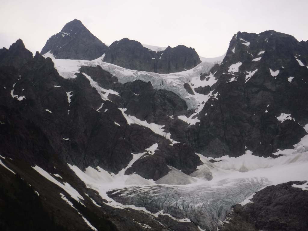
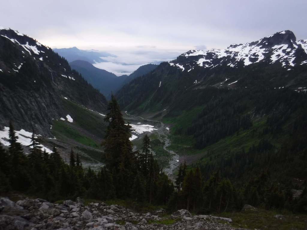
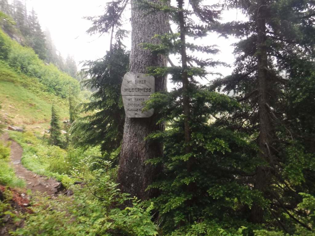
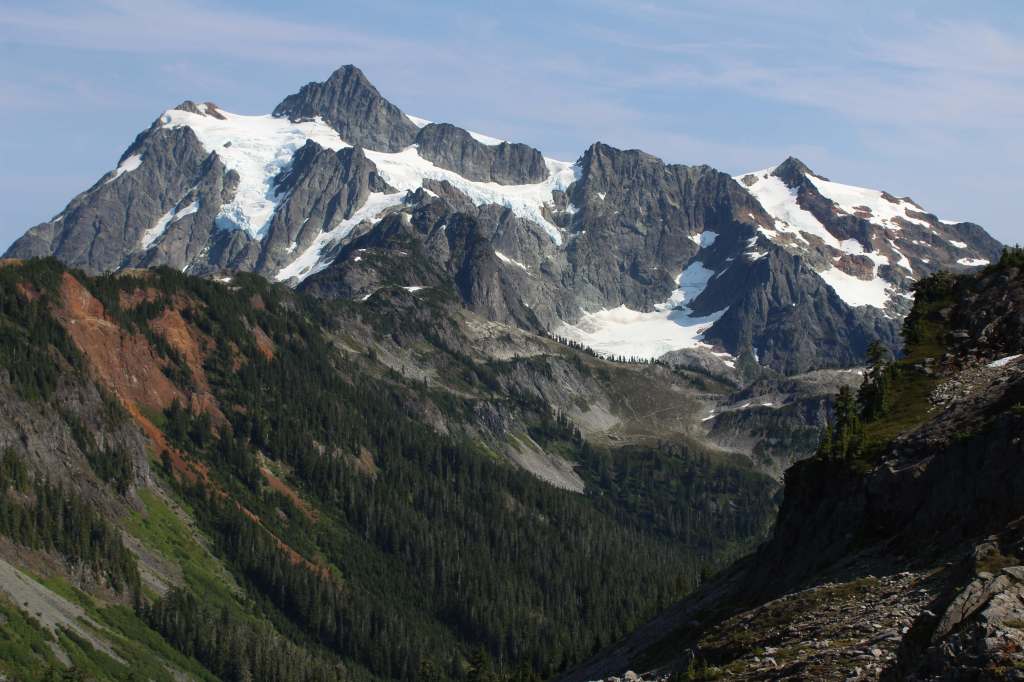
Mt. Baker National Forest’s namesake is the 10,781-foot glacier-covered stratovolcano that dominates the skyline of northwest Washington. It is surrounded by the 119,989-acre Mt. Baker Wilderness and the specially designated 8,473-acre Mt. Baker National Recreation Area that allows snowmobiling on the southern slope. About half of this National Forest is designated Wilderness, which also encompasses another active volcano within 566,057-acre Glacier Peak Wilderness. In 1968, part of Mt. Baker National Forest turned into North Cascades National Park and five years later its remaining acres were administratively merged with Snoqualmie National Forest.
Know someone who loves the National Forests? Gift them our travel guidebook Out in the Woods so they can learn more about all 155 National Forests.

Highlights
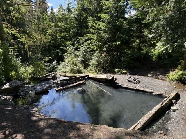
Mt. Baker National Recreation Area, Heather Meadows, Glacier Public Service Center, Nooksack Falls, Mountain Loop Scenic Byway, Baker Hot Springs, Boulder River Trail, Bagley Lakes Trails, Fire and Ice Trail, Baker Lake Trail, Pacific Northwest National Scenic Trail, Shadow of the Sentinels National Recreation Trail
Must-Do Activity
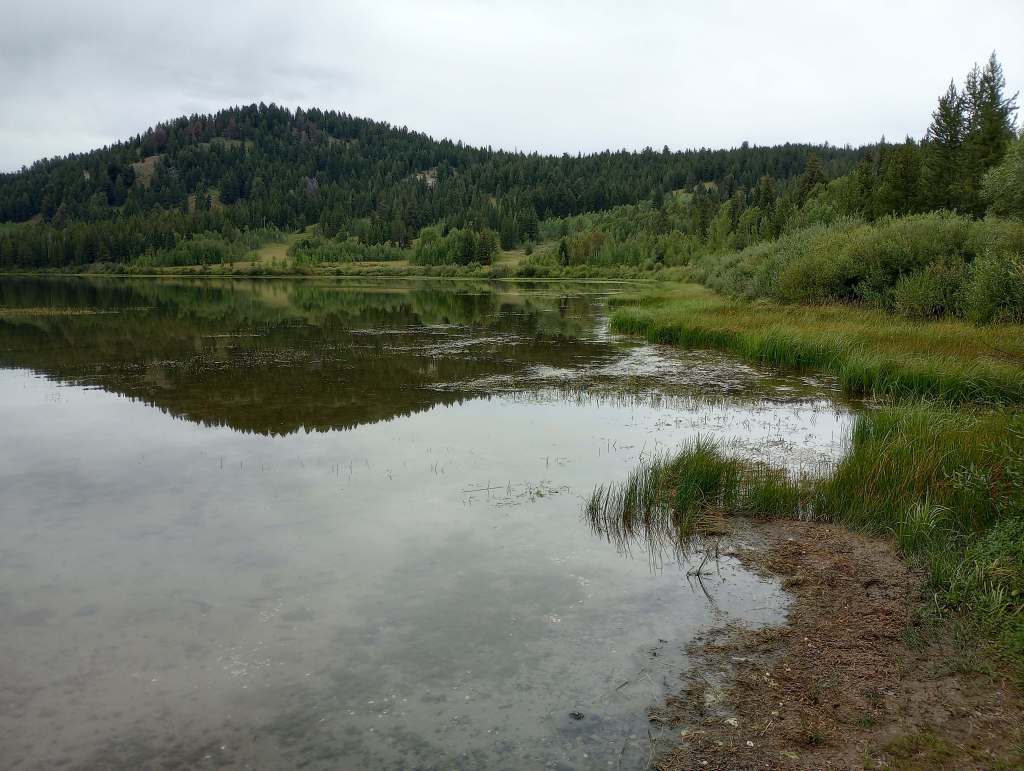
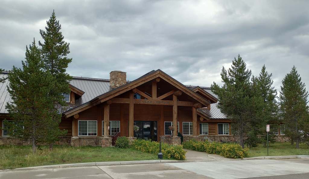
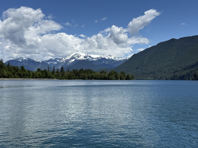
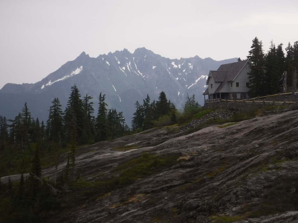
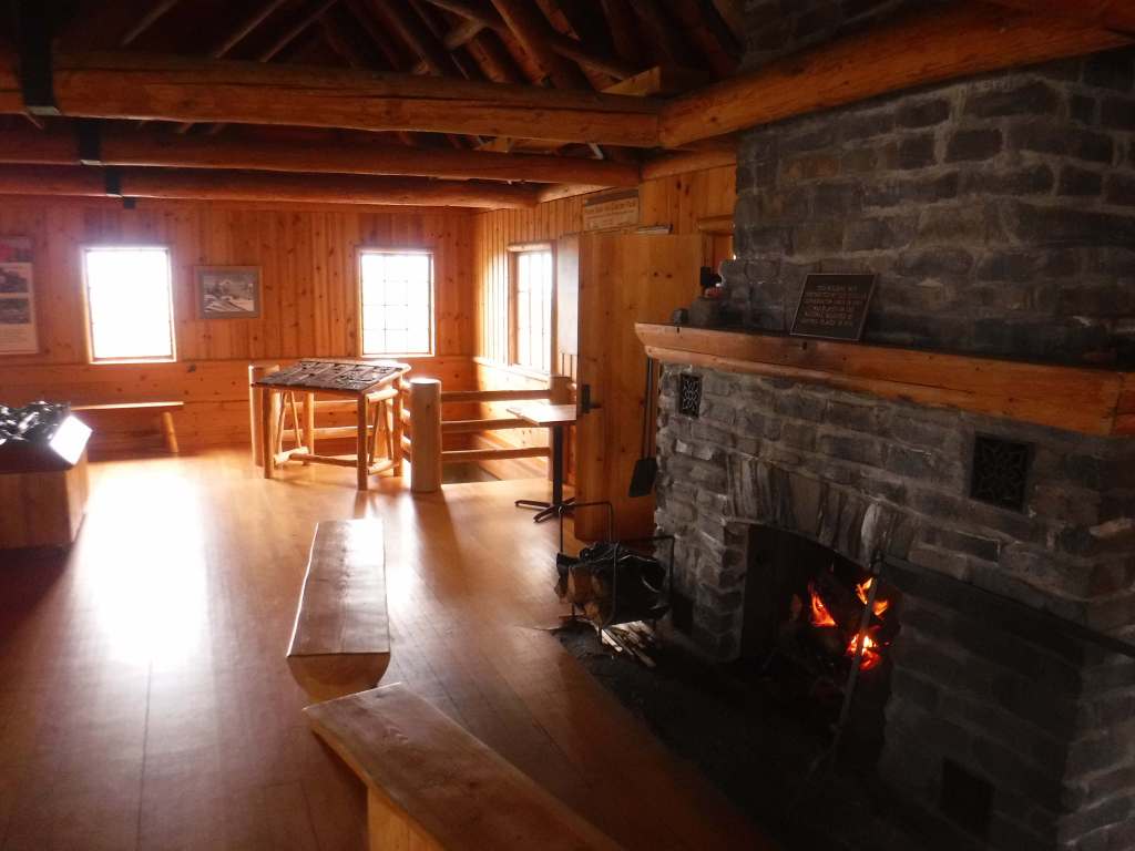
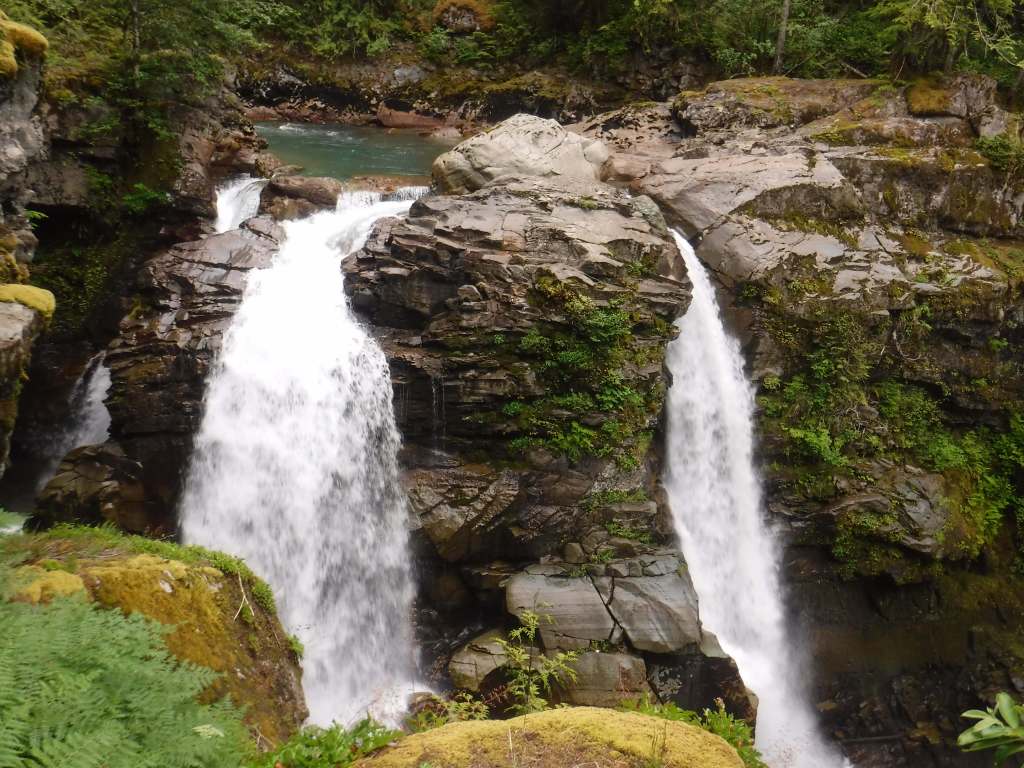
Mt. Baker Scenic Byway (Highway 542) passes Nooksack Falls as it heads east to Artist Point (open after snow melts). Be sure to stop at photogenic Picture Lake and the Heather Meadows Visitor Center, built in the 1930s by the Civilian Conservation Corps (CCC). A recreation pass is at most trailheads around nine-mile-long Baker Lake, a reservoir popular with campers and fishermen. On the lake’s east side, boat-in or hike-in Maple Grove Campground provides amazing views of Mt. Baker on a clear day.
Best Trail
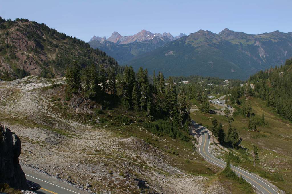
Mt. Baker Scenic Byway accesses several trailheads before dead ending in a huge parking lot at Artist Point, surrounded by snowy mountains. Snow often covers the 4.2-mile one-way trail to Lake Ann well into July. The first two miles share a path with the Pacific Northwest National Scenic Trail, dropping 800 feet to a junction with Swift Creek Trail. From there, a 700-foot climb begins to Lake Ann, a popular destination for backpackers within Mt. Baker Wilderness, which in addition to the normal restrictions prohibits campfires and requires all human waste to be packed out. On clear days, the payoff is unsurpassed views of Mt. Baker and Mt. Shuksan, a 9,131-foot peak in North Cascades National Park reached by continuing up the trail.
Watchable Wildlife
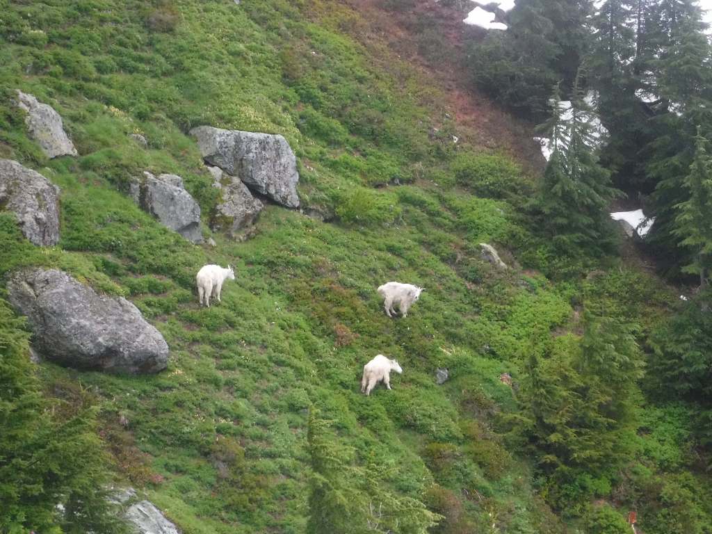
Mountain goats can be seen at high elevations, alongside marmot, pika, and snowshoe hare. Other large mammals include black bears, mountain lions, bobcats, Columbian black-tailed deer, and elk. In 1978, the Skagit Wild and Scenic River System was established along 125 miles of rivers, providing habitat for one of the nation’s largest winter populations of bald eagles. Two types of sea-run trout and five species of salmon are anadromous fish found in the lakes and streams.
Photographic Opportunity
Picture Lake near the Heather Meadows Visitor Center creates wonderful reflections of the surrounding snowy mountains. Plus, it is a good spot for huckleberries in September.

Peak Season
Summer
Fees
$5 Northwest Forest Pass (or America the Beautiful pass) required at the end of Mt. Baker Highway and at trailheads around Baker Lake; Washington State Sno-Park permit is required November 1 through April 30 at some sites
Road Conditions
Mt. Baker Highway (542) received the National Forest Scenic Byway designation in 1988. The 57-mile-long paved route from Interstate 5 is open most of the year between Bellingham and Mt. Baker Ski Area, but it is usually closed beyond that from October well into July because of heavy snowfall.
Camping
There are several campgrounds around Baker Lake, including the boat-in or hike-in Maple Grove Campground. Marble Creek and Mineral Park are two free campgrounds on the Cascade River Road. There are no campgrounds in the Heather Meadows area, but at lower elevations on the Mt. Baker Scenic Byway are Douglas-Fir and Silver Fir Campgrounds.
Wilderness Areas
Alpine Lakes Wilderness (also in Wenatchee National Forest)
Boulder River Wilderness
Clearwater Wilderness
Glacier Peak Wilderness (also in Wenatchee National Forest)
Henry M. Jackson Wilderness (also in Wenatchee National Forest)
Mt. Baker Wilderness
Noisy-Diobsud Wilderness
Norse Peak Wilderness
Pasayten Wilderness (also in Okanogan National Forest)
Wild Sky Wilderness
Related Sites
Ross Lake National Recreation Area (Washington)
Lake Chelan National Recreation Area (Washington)
Ebey’s Landing National Historical Reserve (Washington)
Gifford Pinchot National Forest (Washington)
Nearest National Park
North Cascades




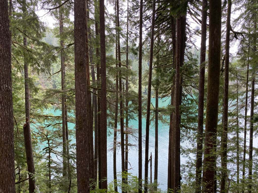
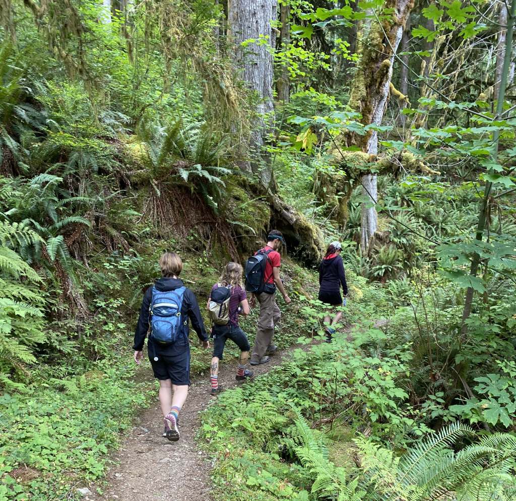


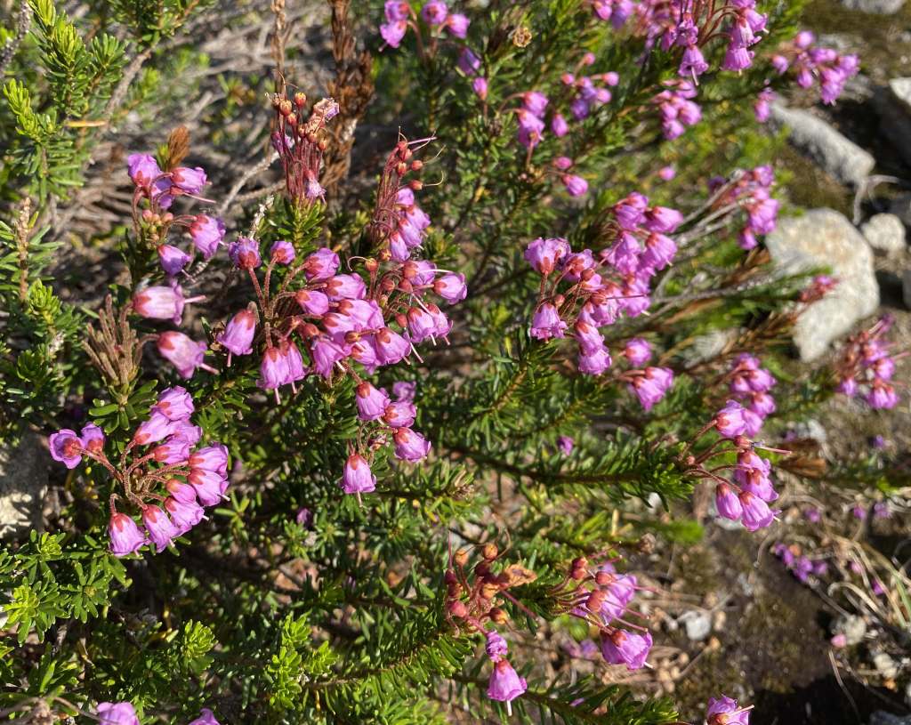
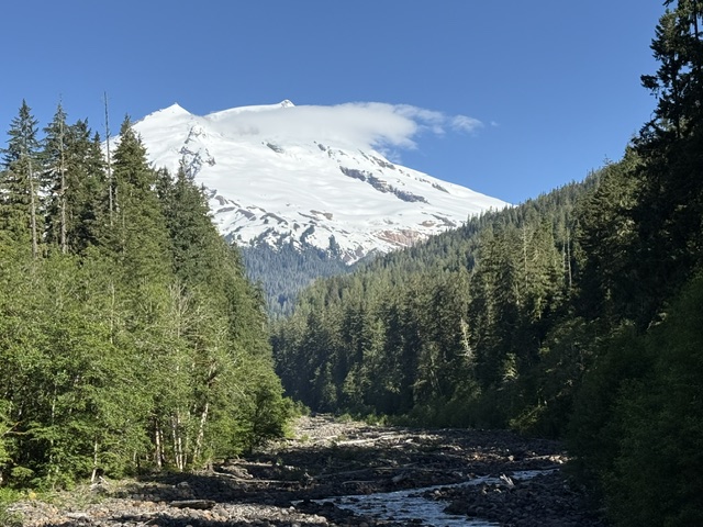
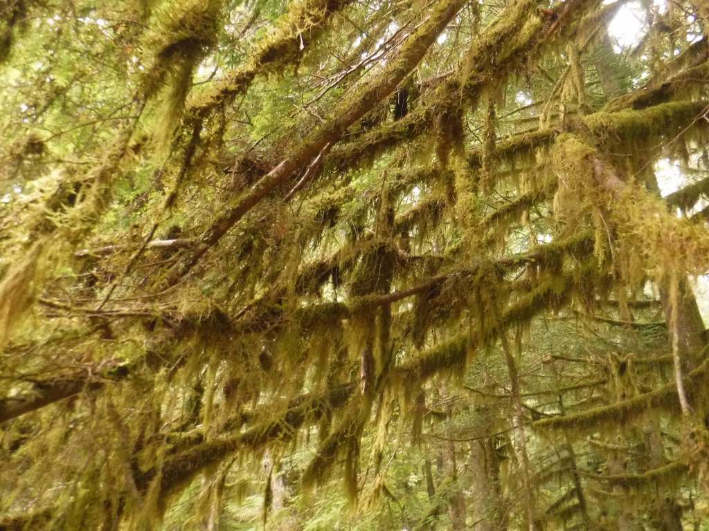
Douglas-fir, western hemlock, mountain hemlock, Pacific silver fir, western redcedar, yellow-cedar, Pacific yew
bigleaf maple, vine maple, black cottonwood
Explore More – When was this area first protected within the 3,594,240-acre Washington Forest Reserve?

Learn more about this and the 154 other National Forests in our guidebook Out in the Woods