Tag Archives: history

Fort Davis National Historic Site

Overview

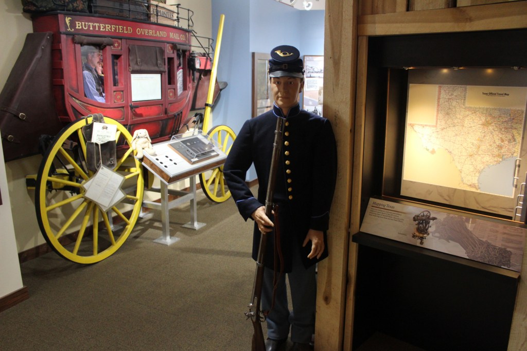
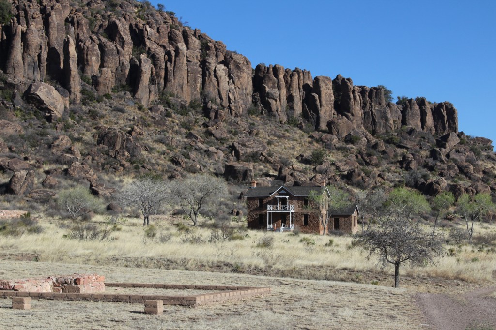
The base of the Davis Mountains is the wonderfully scenic setting for Fort Davis National Historic Site, originally active from 1854 to 1891.  It was manned by U.S. troops except after Texas seceded during the Civil War, which is ironic given that it was named for Jefferson Davis.  Confederate forces obviously saw this as enough reason to occupy the remote frontier fort for a year.  The park preserves its 1867 layout, when the fort was rebuilt following five years of abandonment.

Highlights

Museum, film, historic buildings, Davis Mountains State Park

Must-Do Activity

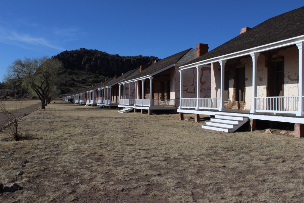
After the Civil War, Fort Davis became famous for posting African-American “Buffalo Soldiers.”  Maybe this is why they chose to cast 7-foot-2-inch tall Kareem Abdul-Jabbar as the cowboy hat-wearing narrator of the park’s introductory film.  That in-and-of-itself is worth the price of admission.  The dry Chihuahuan Desert air has preserved the 21 remaining buildings well.  Throughout the day, bugle calls on the loudspeaker will hearken you back to frontier days. 

Best Trail

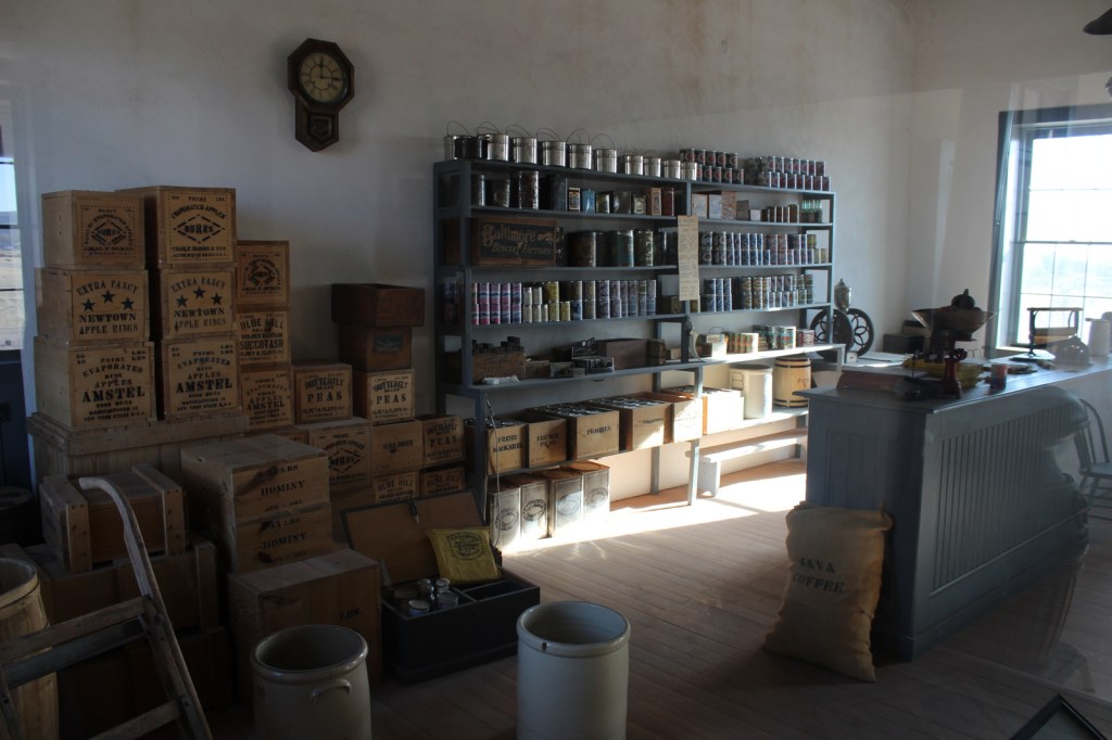
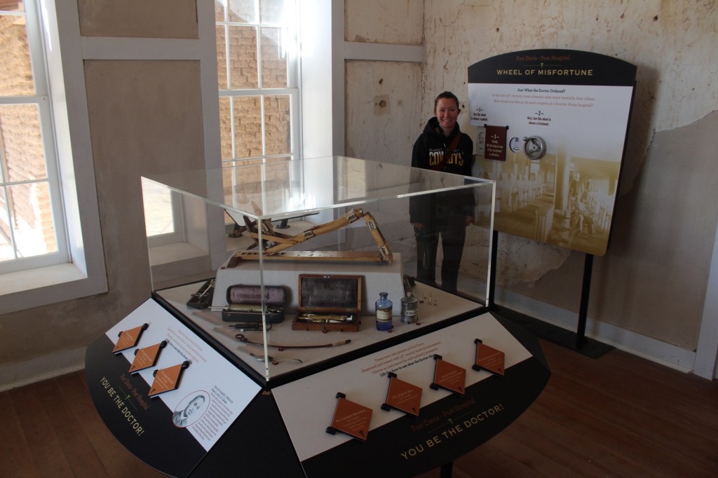
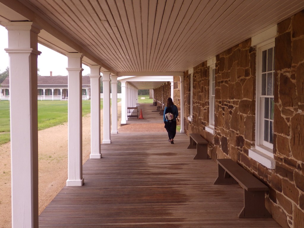
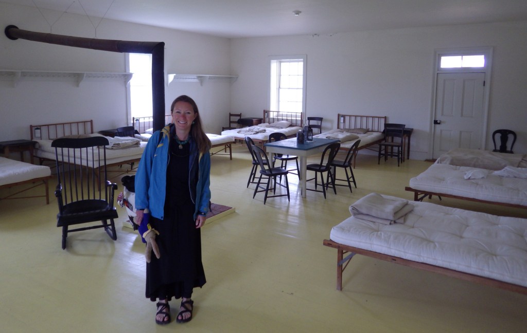
A self-guided trail leads around the 523-acre property and enters six buildings: the commanding officer’s quarters, lieutenants’ quarters, barracks, commissary, hospital, and officers’ servants’ quarters.  There are other trails here and in neighboring Davis Mountains State Park, but be aware that the fort sits at 4,900 feet of elevation.

Instagram-worthy Photo

The morning we visited, mule deer were feeding on the lawn in front of the restored buildings.

Peak Season

Summer

Hours

https://www.nps.gov/foda/planyourvisit/hours.htm

Fees

$10 per person or America the Beautiful pass

Road Conditions

Access roads paved

Camping

If you enjoy spending time at this beautiful spot, consider camping in adjacent Davis Mountains State Park, which offers good stargazing.

Related Sites

Guadalupe Mountains National Park (Texas)

Carlsbad Caverns National Park (New Mexico)

Big Bend National Park (Texas)

Explore More – Who was the first black graduate of West Point military academy briefly stationed here (before a controversial court-martial later overturned in 1976)?

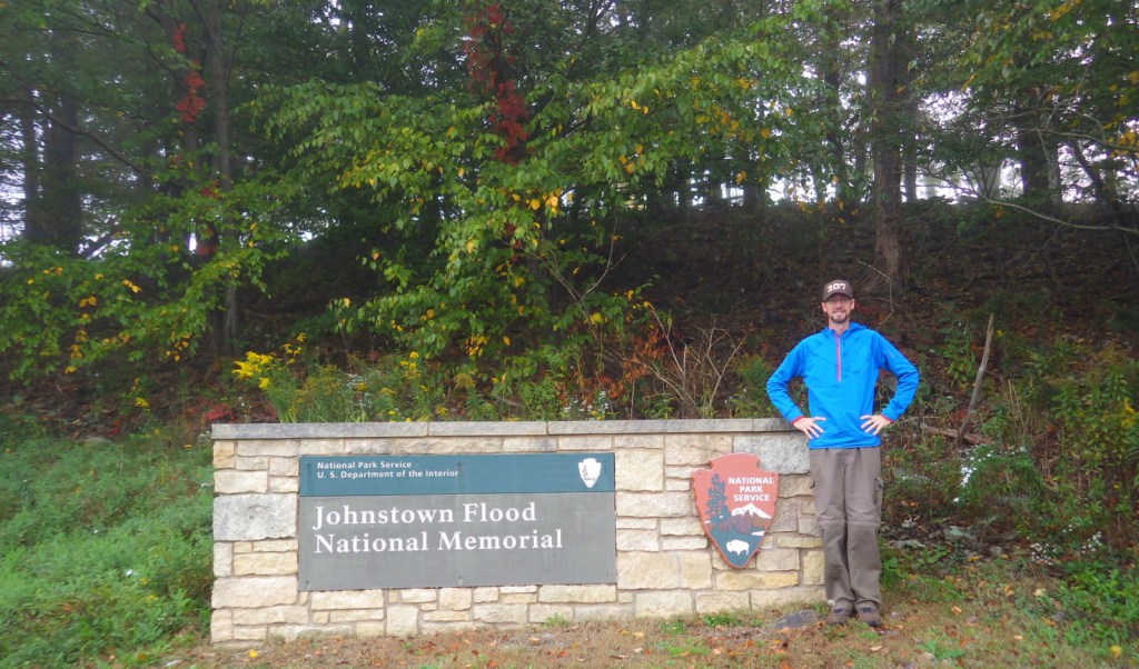
Johnstown Flood National Memorial

Overview

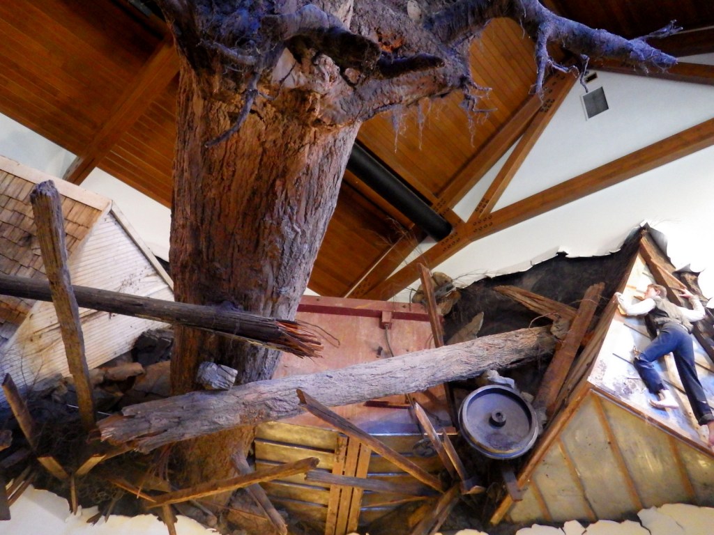
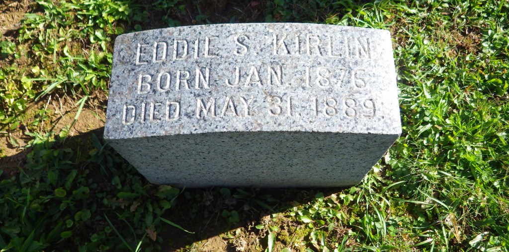
May 31, 1889 was the infamous day when a dam broke sending a 40-foot wall of water downstream, leveling multiple towns and killing more than 2,200 people.  The earthen South Fork Dam was designed for a lower lake level, was poorly maintained since 1853, and was completely ignored by the South Fork Fishing and Hunting Club (with wealthy members such as Andrew Carnegie and Andrew Mellon).  Clara Barton’s newly formed American Red Cross sent a staff of 50 doctors and nurses to assist with recovery efforts, which took years.

Highlights

Museum, film, South Fork Fishing and Hunting Club Historic District, Grandview Cemetery

Must-Do Activity

Start your visit at the National Park Service (NPS) museum at the dam site in South Fork, Pennsylvania.  The 35-minute film shown there is not appropriate for young children.  A driving tour leads around the dry lakebed to the South Fork Fishing and Hunting Club Historic District.  Much of the Little Conemaugh River downstream is not accessible by roads, but be sure to drive downstream to Johnstown to visit the Grandview Cemetery and, if you have time, the Johnstown Flood Museum (admission fee). Every year since 1989 on the anniversary, the NPS lights 2,209 luminaria in memoriam.

Best Trail

There is a trail that follows a portion of the Little Conemaugh River and leads to Staple Bend Tunnel, part of Allegheny Portage Railroad National Historic Site.

Instagram-worthy Photo

A memorial to the unidentified victims of the May 31, 1889 flood stands in Grandview Cemetery in Johnstown, Pennsylvania.

Peak Season

Summer

Hours

https://www.nps.gov/jofl/planyourvisit/hours.htm

Fees

None, except at the unaffiliated Johnstown Flood Museum in Johnstown, Pennsylvania

Road Conditions

The main access roads are paved, but some of the smaller roads to the Little Conemaugh River may not be.

Camping

Prince Gallitzin State Park offers a campground with showers 20 miles northwest of Altoona, Pennsylvania.

Related Sites

Flight 93 National Memorial (Pennsylvania)

Fort Necessity National Battlefield (Pennsylvania)

Allegheny Portage Railroad National Historic Site (Pennsylvania)

Explore More – Where did the miles of barbwire that wrapped around the flood debris originate?

Fort Larned National Historic Site

Overview

This Santa Fe Trail fort was only active from 1860 to 1878, but after becoming private property it continued to function as a working ranch which explains why it is in such good shape today.  Costumed re-enactors are really what make this National Park Service (NPS) site special, though, from the blacksmith to the schoolteacher to the commissar to the officers’ wives.  They love to share stories of this extraordinary place.  Surrounded by open fields, it is easy to feel like you are 150 years in the past while touring the grounds.

Highlights

Museum, film, commissary, officers’ quarters, barracks, reconstructed blockhouse

Must-Do Activity

As we walked across the bridge over the Pawnee River towards Fort Larned on a foggy Memorial Day morning, we watched a horse-drawn carriage heading that way, too.  Much to our surprise, the driver (a volunteer) stopped to ask if we would like to hop in for a ride.  Passing through the fog, it was like being carried back in time.  To learn more history, head to the Santa Fe Trail Center in the town of Larned, Kansas.

Best Trail

The parking area is a short walk from the fort, then a self-guided trail (brochure available at the NPS visitor center) leads to stops around the 718-acre site.

Instagram-worthy Photo

Two soldier re-enactors looked ghostly in the glass while watching the blacksmith work his magic.

Peak Season

Summer

Hours

https://www.nps.gov/fola/planyourvisit/hours.htm

Fees

None

Road Conditions

The access road to the main site is paved, but to visit the Santa Fe Trail Ruts Area requires driving an unpaved county road.

Camping

There is a private campground in Larned, Kansas, plus Kansas has a good State Parks system.

Related Sites

Fort Scott National Historic Site (Kansas)

Bent’s Old Fort National Historic Site (Colorado)

Fort Union National Monument (New Mexico)

Explore More – For whom is Fort Larned named?

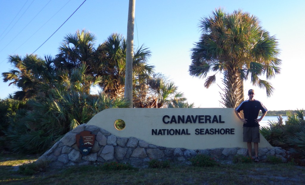
Canaveral National Seashore

Overview

When NASA (National Aeronautics and Space Administration) prevented this portion of Florida coast from development in the 1950s, surely they did not imagine it would soon become one of the last long stretches of wild coastline left on the Atlantic seaboard.  The area north of John F. Kennedy Space Center was set aside as Canaveral National Seashore (in 1975) and Merritt Island National Wildlife Refuge (in 1963).

Highlights

Eldora State House, shell mounds, wildlife, fishing, kayaking, beaches

Must-Do Activity

About 310 avian species have been spotted in Merritt Island National Wildlife Refuge.  Other than birds, we were excited to see our first living armadillo and manatee outside of a zoo.  Despite its unappealing name, Mosquito Lagoon is a nice spot for fishing and paddling.  We hope someday to return to witness a rocket launch from John F. Kennedy Space Center.

Best Trail

Human activity in Canaveral National Seashore is evident in Timucuan shell mounds that date back thousands of years, with a separate trail to Eldora State House preserving more recent history.  At the southern end of the park in Merritt Island National Wildlife Refuge, you will find Oak and Palm Hammock Trails, as well as Cruickshank Trail that leads to an observation tower.

Instagram-worthy Photo

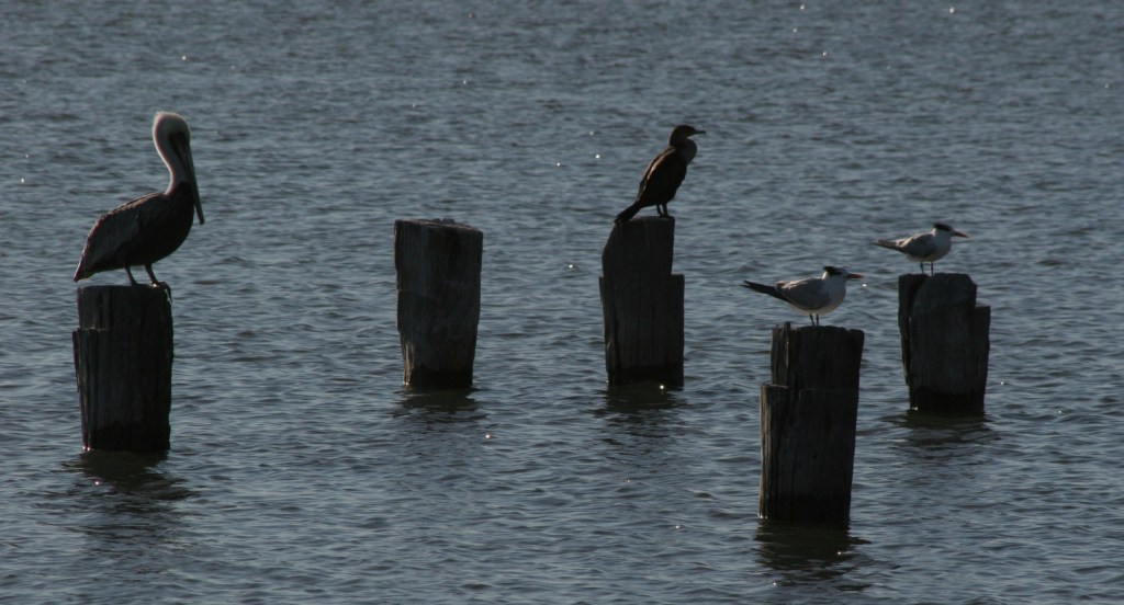
The park ranger told us the most likely place to see a West Indian manatee was at the boat launch in New Smyrna Beach, Florida just north of the park boundary.  There were also dolphins, great blue herons, anhingas, great egrets, ospreys, brown pelicans, and royal terns.

Peak Season

Summer

Hours

https://www.nps.gov/cana/planyourvisit/hours.htm

Fees

$20 per vehicle day use or America the Beautiful pass

Road Conditions

The main access roads are paved, but the six-mile Black Point Wildlife Drive and some boat launches are not.  Unlike at other National Seashores, there is no driving on the beach allowed, but you can bicycle or walk to remote Klondike Beach.

Camping

Inside the park boundaries there are no campgrounds, but backcountry camping is allowed with a permit.

Related Sites

Castillo de San Marcos National Monument (Florida)

Cumberland Island National Seashore (Georgia)

Fort Caroline National Memorial (Florida)

Explore More – What did engineers build in the 1950s to limit the breeding area for saltmarsh mosquitoes?

Walnut Canyon National Monument

Walnut Canyon National Monument

Arizona

Managed by National Park Service

Established 1915

3,529 acres

Website: nps.gov/waca

Overview

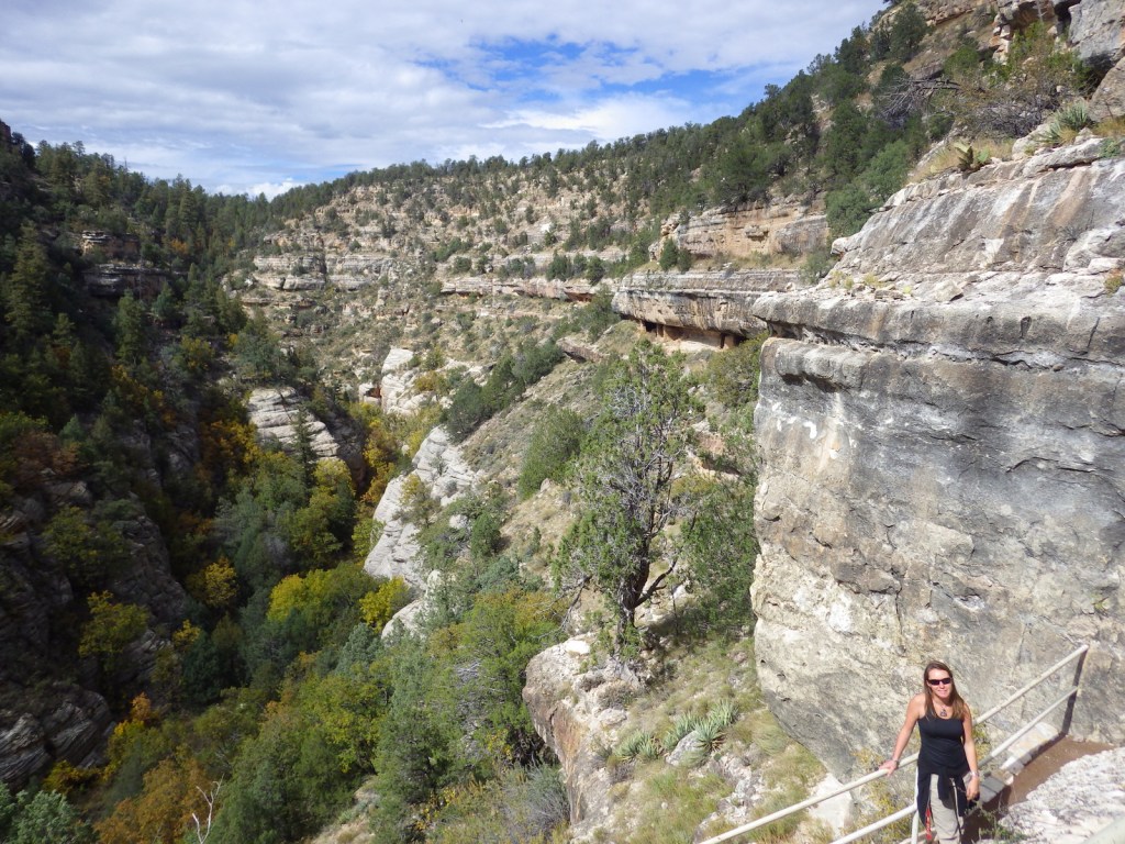
Cliff dwellings were built in Walnut Canyon around the same time another group of Sinagua was living at nearby Wupatki National Monument.  These cliff dwellings were only occupied for about a hundred years and abandoned by AD 1250.  For over a century, they have been protected within Walnut Canyon National Monument, a 3,541-acre park on Interstate 40 east of Flagstaff, Arizona.

Know someone who loves exploring new National Monuments? Gift them our book Monumental America: Your Guide to All 138 National Monuments that is available for sale on Amazon.com.

Highlights

Museum, ruins, scenic views

Must-Do Activity

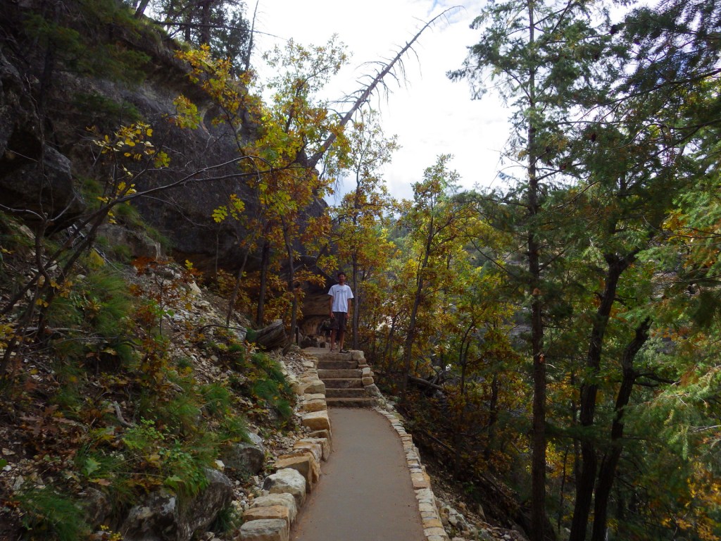
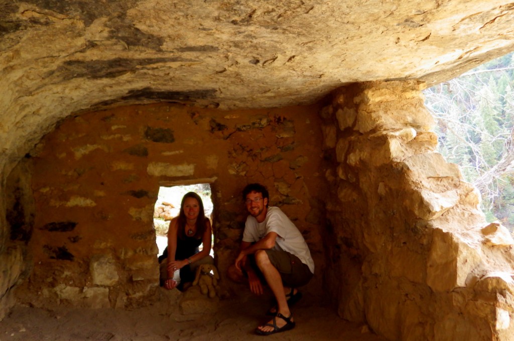
To get up close with the ruins requires a hike down 200 stairs on the one-mile Island Trail loop.  At 6,690 feet in elevation, downhill is easy, but getting back up is another matter entirely.  It is well worth the effort to get a feeling for a life spent inside the shallow limestone recesses in the canyon walls.

Best Trail

The paved Island Trail drops 185 feet and takes you right up to the 25 rooms built into the cliffs.  Above the canyon, 0.75-mile Rim Trail is handicap accessible and provides views of the ruins.

Instagram-worthy Photo

October is a great time to visit to see changing leaves in Walnut Canyon, especially the bigtooth maple trees.

Peak Season

Summer

Hours

https://www.nps.gov/waca/planyourvisit/hours.htm

Fees

$15 per person, $25 per vehicle, or America the Beautiful pass

Road Conditions

Access road is paved

Camping

There is not a campground at the site, but dispersed camping is allowed down the dirt road that turns off to the left just before entering the National Monument.

Related Sites

Sunset Crater Volcano National Monument (Arizona)

Montezuma Castle National Monument (Arizona)

Tuzigoot National Monument (Arizona)

Nearest National Park

Grand Canyon

Explore More – There are multiple Arizona sites in the National Park Service system dedicated to the vanished Sinagua people; what does their name mean in Spanish?

Learn more about the other 137 National Monuments in our book Monumental America: Your Guide to All 138 National Monuments