Tag Archives: history

Canyon de Chelly National Monument

Canyon de Chelly National Monument

Arizona

Managed by National Park Service

Established 1931

83,840 acres

Website: nps.gov/cach

Overview

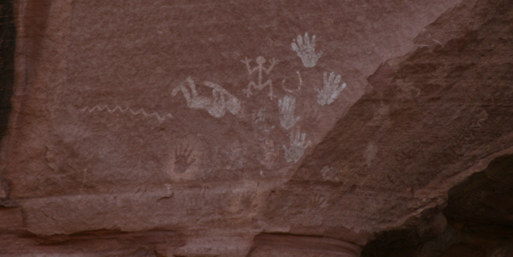
In the heart of the Navajo Nation in northeast Arizona lies Canyon de Chelly National Monument.  Humans have inhabited this area for 4,500 years, leaving behind numerous pictographs and the dramatic ruins of Ancestral Puebloan cliff dwellings.  The Navajo arrived in this region around AD1700 with sheep they gained from Spanish colonists which they utilized to weave intricate wool blankets.  Wars with the Utes, Spanish, Mexicans, and then U.S. government eventually led to their forced migration (“The Long Walk”) to Bosque Redondo in New Mexico around 1864.

Know someone who loves exploring new National Monuments? Gift them our book Monumental America: Your Guide to All 138 National Monuments that is available for sale on Amazon.com.

Highlights

Spider Rock Overlook, White House Ruin, guided vehicle tours, horseback tours

Must-Do Activity

Four years after being forced to the uninhabitable Bosque Redondo, the Navajo were granted the largest reservation in the country and families still inhabit Canyon de Chelly (pronounced “d’shay”) to this day.  The 84,000-acre National Monument is administered cooperatively with the National Park Service (NPS).  However, entrance into the canyon is limited to guided trips and one publicly accessible trail that drops 500 feet to White House Ruin.  Overlooks along the North and South Rim Drives (17 and 18 miles respectively) are free and open year-round, though.  It not only seems like everything runs on a different clock here, but, unlike the rest of Arizona (and now New Mexico), the Navajo Nation observes Daylight Savings Time, so is always an hour later in the summer months (the same time as New Mexico until the fall).

Best Trail

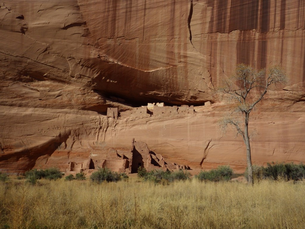
White House Ruin was inhabited AD1060-1275 and is named for the white plaster used to coat the wall in the upper dwelling.  The 2.5-mile roundtrip White House Trail drops down the canyon wall and cuts through a tunnel.

Instagram-worthy Photo

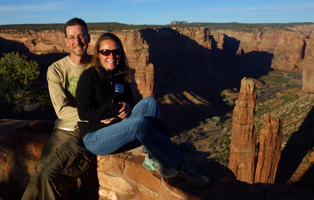
At the end of South Rim Drive is 800-foot tall Spider Rock, a great spot to watch the sun set, which is an ideal time to photograph the canyon’s red sandstone walls.

Peak Season

Summer

Hours

https://www.nps.gov/cach/planyourvisit/hours.htm

Note that there is typically a time difference because Arizona and New Mexico do not observe Daylight Savings Time.

Fees

There is no entrance fee for the North and South Rim Drives, but guided tours into the canyon do charge admission.

Road Conditions

All roads open to the public are paved, but guided tours can be very bumpy since they use the canyon bottom as a road.

Camping

The NPS runs Cottonwood Campground with 96 spaces (and running water in the summer) in a grove of Fremont cottonwood trees that turn yellow in the late autumn.  Guided camping trips in the canyon are also available.

Related Sites

Grand Canyon National Park (Arizona)

Navajo National Monument (Arizona)

Hubbell Trading Post National Historic Site (Arizona)

Explore More – How many millions of years ago did sand dunes turn into Canyon de Chelly’s red sandstone?

Learn more about the other 137 National Monuments in our book Monumental America: Your Guide to All 138 National Monuments
Bighorn Canyon National Recreation Area

Overview

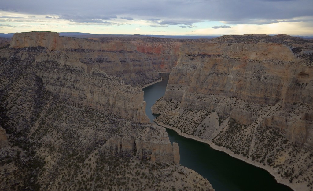
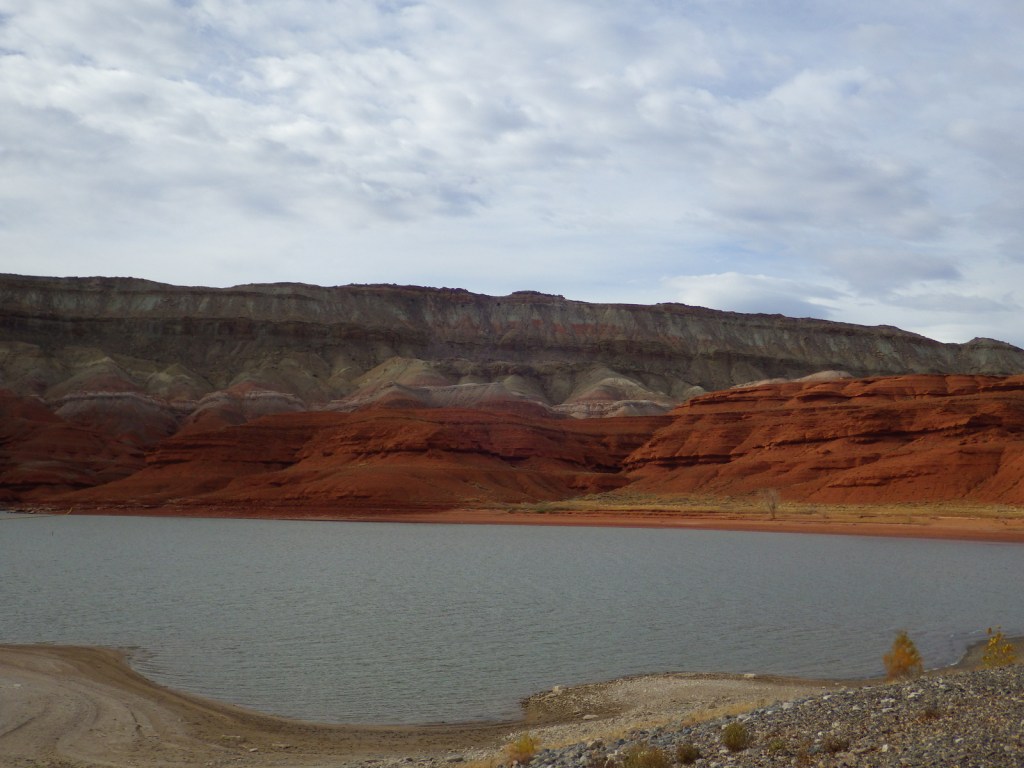
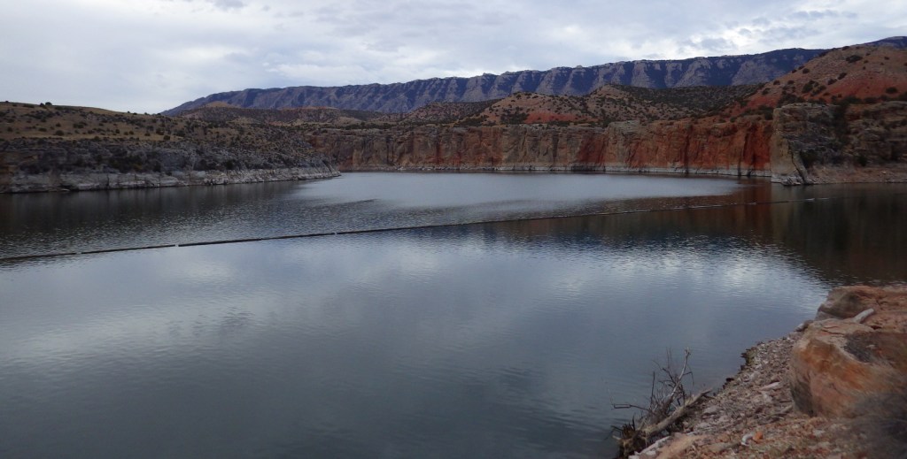
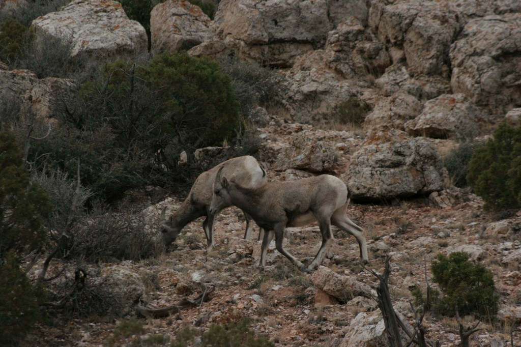
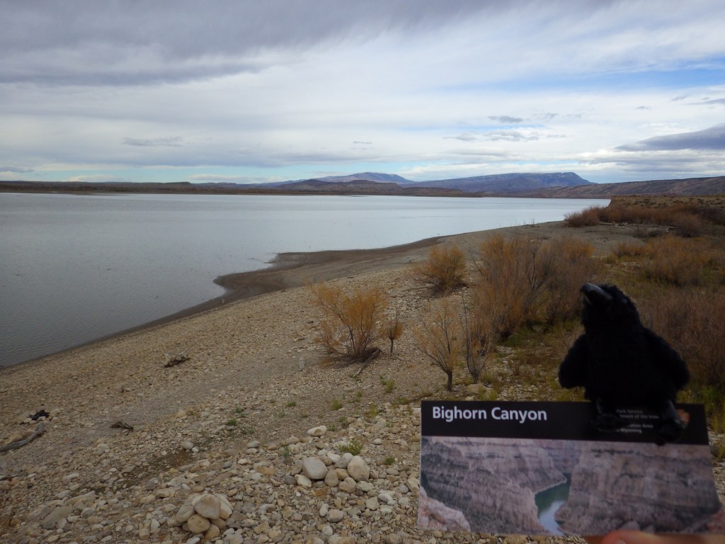
Bighorn Canyon National Recreation Area is an underappreciated gem in the National Park Service (NPS) system.  It has gorgeous scenery, a winding reservoir, and abundant wildlife, including bighorn sheep and wild horses.  The 525-foot tall Yellowtail Dam was completed in 1968, creating a 71-mile long reservoir, the majority of which is in narrow Bighorn Canyon where cliffs soar up to 2,000 feet above the water.

Highlights

Devil Canyon Overlook, Hillsboro Dude Ranch, Horseshoe Bend, Yellowtail Dam

Must-Do Activity

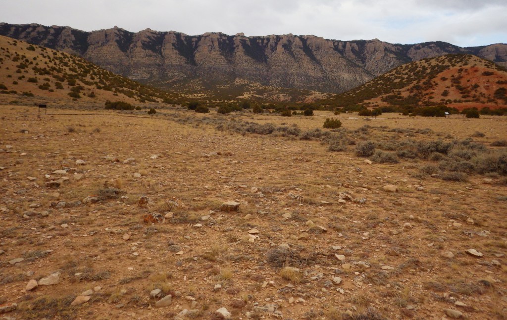
No road connects the north and south portion of the park, making for a long drive between the NPS visitor center in Lovell, Wyoming and the one at the Yellowtail Dam in Montana.  Thus, it is best to choose either one side or the other and explore the canyon by boat.  Devil Canyon Overlook and most of the 27 miles of hiking trails are in the southern section.  This is also where the Pryor Mountain Wild Horse Range enters into Bighorn Canyon National Recreation Area.  In the summer there are lifeguards at the designated swimming areas at Horseshoe Bend and Ok-A-Beh.

Best Trail

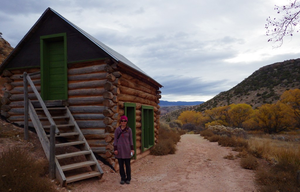
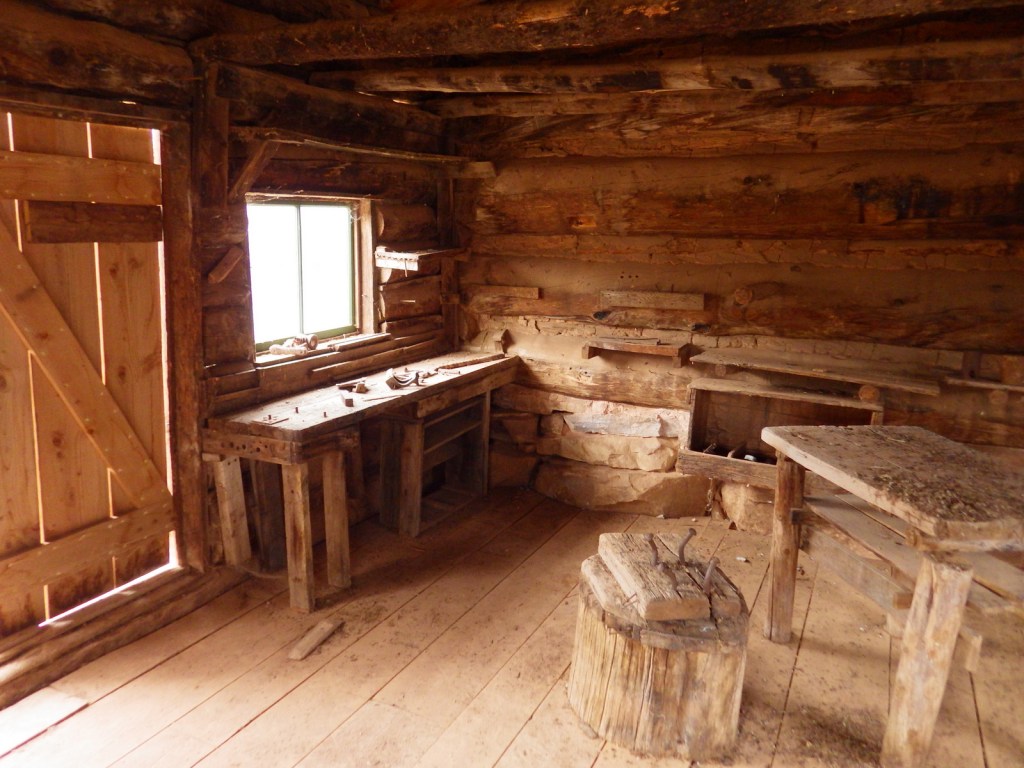
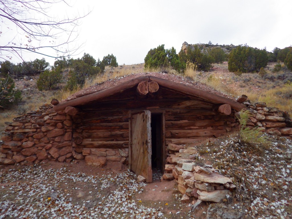
The southern portion of Bighorn Canyon National Recreation Area has trails to historic sites like Hillsboro Dude Ranch and several tipi rings found along Bad Pass Trail, a route which has seen over 10,000 years of human use.

Instagram-worthy Photo

If you are unable to get out on the water, the highlight of the park is Devil Canyon Overlook where the cliffs drop over 1,000 feet straight down to the lake.

Peak Season

Summer

Hours

https://www.nps.gov/bica/planyourvisit/hours.htm

Fees

None

Road Conditions

Almost every road is paved, but they are narrow and winding so may not be advisable for very long RVs.

Camping

There are drive-in campgrounds (fee) in both states, as well as free boat-in campgrounds on the Montana side.  Backcountry camping is allowed below the highwater mark of Bighorn Lake.

Related Sites

Little Bighorn Battlefield National Monument (Montana)

Devils Tower National Monument (Wyoming)

Jewel Cave National Monument (South Dakota)

Explore More – The Yellowtail Dam is named after whom?

Boston Harbor Islands National Recreation Area

Overview

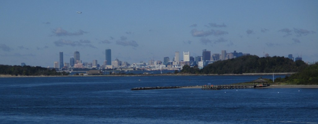
Established in 1996, there are 34 separate sites encompassed within Boston Harbor Islands National Recreation Area.  Not all of the areas are islands, some, like Worlds End, are the tips of peninsulas with roads accessing them from the suburbs of Boston, Massachusetts.  The park is a managed by a hodgepodge of agencies, including the U.S. Coast Guard’s Boston Light on Little Brewster Island (open to ranger-led tours in the summer months).

Highlights

Worlds End, Governors Island, Webb Memorial State Park, Spectacle Island

Must-Do Activity

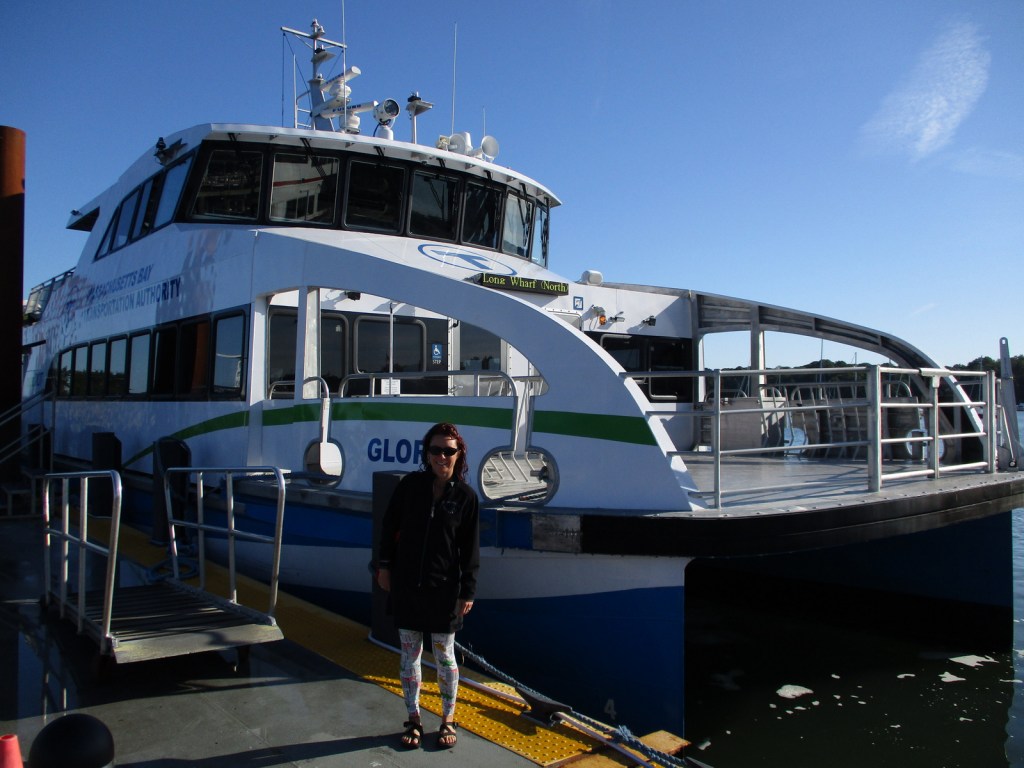
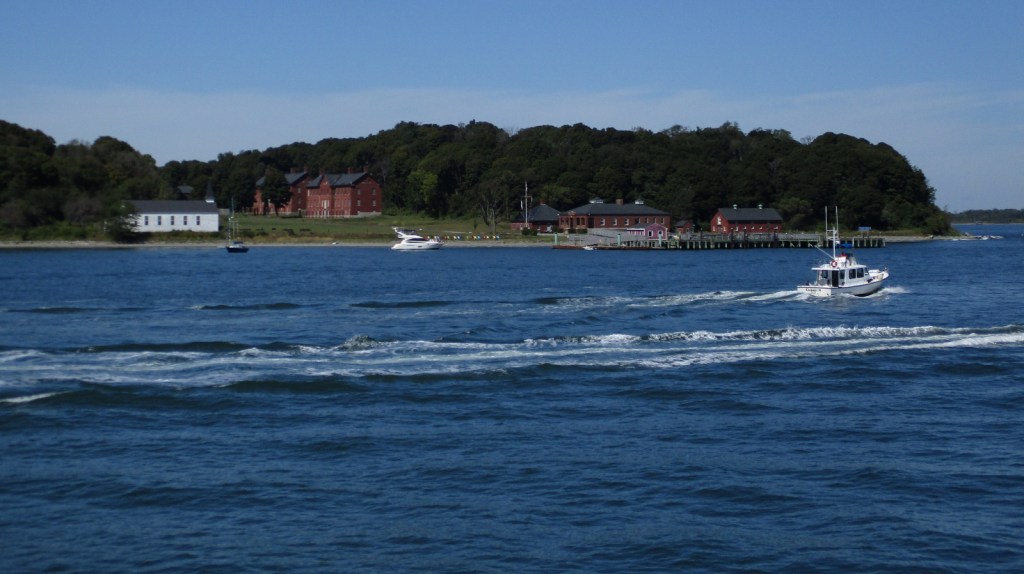
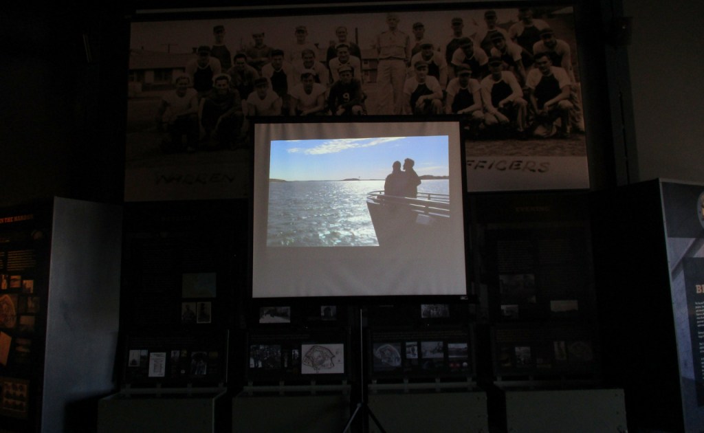
It is probably best to pick one island and thoroughly explore it by catching a ferry from Long Wharf North in downtown Boston, Hingham Shipyard, or Pemberton Point in Hull.  We chose Georges Island which is mostly taken up by Fort Warren, which dates back to 1850.  During the Civil War, the fort served as an artillery base and a prison.  The National Park Service (NPS) operates an excellent museum on the island and shows a film on its history.  Georges and Spectacle Islands are the only two islands that offer food for sale, plus they have water taxis leave from each dock to access many of the other islands.

Best Trail

Spectacle Island has five miles of hiking trails and also contains the highest point within Boston Harbor Islands National Recreation Area at 157 feet in elevation.

Instagram-worthy Photo

The site of the first lighthouse in America, Boston Light on Little Brewster Island can be seen from Georges Island and is open to guided tours in the summer.

Peak Season

Summer

Hours

https://www.nps.gov/boha/planyourvisit/basicinfo.htm

Fees

Passengers ferries charge fares, but there is not an entrance fee to the islands or Webb Memorial State Park.

Road Conditions

Most of the islands do not allow private vehicles, but you can bring your bicycle onto the ferries.  Webb Memorial State Park, Deer Island, Worlds End, and Nut Island are accessible by paved roads in the Boston area.

Camping

There are yurts on Peddocks Island and tent camping is allowed on Bumpkin, Grape, Peddocks, and Lovells Islands from late June through Labor Day.  Backcountry permits are required for stays on undeveloped islands.

Related Sites

Boston National Historical Park (Massachusetts)

Cape Cod National Seashore (Massachusetts)

Gateway National Recreation Area (New York-New Jersey)

Explore More – During the Civil War, who wrote the lyrics to “John Brown’s Body” while serving at Fort Warren?

Lake Roosevelt National Recreation Area

Overview

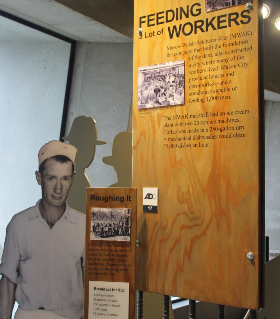
Stretching nearly one mile (5,223 feet) in length, the Grand Coulee Dam was the first constructed across the mighty Columbia River between 1933 and 1942.  In case you are wondering what a “coulee” is, that is a regional name for a canyon, many of which were carved by the walls of water that scoured this region after Lake Missoula burst through its ice dams periodically 15,000 to 13,000 years ago.  The reservoir created by the dam was named for President Franklin D. Roosevelt, which is why the National Park Service (NPS) manages it as Lake Roosevelt National Recreation Area.

Highlights

Grand Coulee Dam Visitor Center, Fort Spokane, St. Paul’s Mission, watersports

Must-Do Activity

The Bureau of Reclamation manages the museum at Grand Coulee Dam Visitor Center and a free laser light show is projected on the mile-long dam during the summer months.  Near a major river confluence, Fort Spokane was established in 1880 and now has a one-mile trail explaining its diverse history.  The reservoir submerged the salmon fishing grounds at Kettle Falls that had been used for millennia.  Native Americans still inhabit this region today, as the lake creates a border between the Colville and Spokane Indian Reservations.  Campgrounds and boat launch sites are located all along the narrow lake’s 129-mile length, although some may close due to changing reservoir levels.

Best Trail

A quarter-mile trail with interpretive signs is located at St. Paul’s Mission, one of the oldest churches in Washington state.  Here you will learn about (now submerged) Kettle Falls and the Hudson’s Bay Company’s historic impact on the region.

Instagram-worthy Photo

At the time, the Grand Coulee Dam became the largest masonry structure ever built, breaking a record held for 4,700 years by the Great Pyramid in Egypt.

Peak Season

Summer

Hours

https://www.nps.gov/laro/planyourvisit/hours.htm

Fees

The NPS charges a fee at boat launches and you cannot use the America the Beautiful pass.  Grand Coulee Dam Visitor Center is free, as are the Keller Ferry and Gifford–Inchelium Ferry that cross the lake.

Road Conditions

There are some unpaved roads, but the designated Scenic Drive follows only paved roads and utilizes two free ferries.

Camping

There are 26 campgrounds available on a first-come, first-served basis, while sites at a few take reservations.  Boat-in campgrounds and shoreline camping are both free.

Related Sites

Whitman Mission National Historic Site (Washington)

Glen Canyon National Recreation Area (Arizona-Utah)

Lake Mead National Recreation Area (Nevada-Arizona)

Explore More – During peak construction, how many people were employed at the Grand Coulee Dam?

Chickamauga and Chattanooga National Military Park

Overview

Chickamauga and Chattanooga National Military Park was authorized in 1890, the first park of its kind in the United States.  It covers multiple battlefields from late-1863 that straddle the Tennessee-Georgia borderline.  Though the Confederate army initially won at Chickamauga, Georgia, the Union took control of Chattanooga, Tennessee after the arrival of General Ulysses S. Grant with reinforcements in November.  Like Fort Monroe in Virginia, this area then became a beacon for escaped slaves, eventually numbering 2,000 people.

Highlights

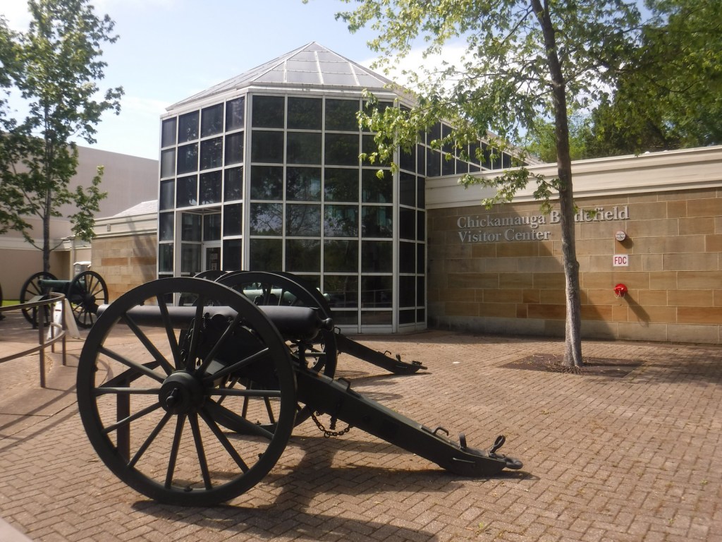
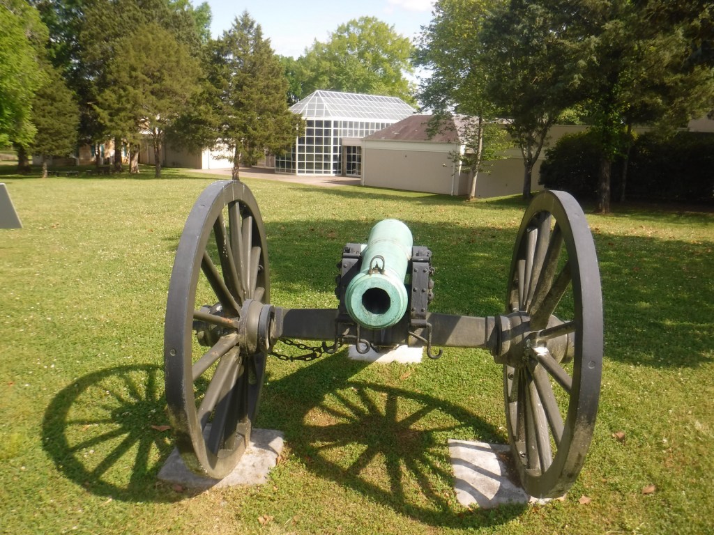
Museums, film, driving tour, Point Park, Ochs Memorial Observatory, Cravens House, cannons

Must-Do Activity

Point Park sits on top of Lookout Mountain offering awesome views of the city of Chattanooga and Moccasin Bend on the Tennessee River.  It is also the home of Ochs Memorial Observatory and museum, one reason Point Park charges an admission fee.  The nearby National Park Service (NPS) visitor center displays the 30×13-foot painting The Battle of Lookout Mountain by James Walker.  At the Chickamauga battlefield, a seven-mile long driving tour explains what happened there on September 20, 1863.  The National Military Park also entails seven small military reservations and the Phelps Monument along the road atop Missionary Ridge, east of Chattanooga.

Best Trail

There are miles of trails atop Lookout Mountain and Ochs Memorial Observatory is only accessible by trail (and many stair steps).  It contains a museum dedicated to the Civil War and American Indians, specifically the Cherokee who passed through Moccasin Bend (which has its own three-mile loop trail) on the Trail of Tears in 1838.

Instagram-worthy Photo

The entrance to Point Park is designed to look like the Army Corps of Engineers insignia.

Peak Season

Summer

Hours

https://www.nps.gov/chch/planyourvisit/hours.htm

Fees

$10 per person to enter Point Park or America the Beautiful pass

Road Conditions

All roads paved, but there is limited free parking available at the NPS visitor center near Point Park.

Camping

Cloudland Canyon State Park in Georgia is about 20 miles southwest of Chattanooga, Tennessee.

Related Sites

Fort Donelson National Battlefield (Tennessee-Kentucky)

Shiloh National Military Park (Tennessee-Mississippi)

Kennesaw Mountain National Battlefield Park (Georgia)

Explore More – Why did President Abraham Lincoln consider capturing Chattanooga (a town of only 2,500) as important as Atlanta?