Tag Archives: history

Reconstruction Era National Historical Park

Overview

Like Freedom Riders National Monument in Alabama, President Obama established Reconstruction Era National Monument in 2017.  The park is located about an hour south of Charleston, South Carolina and is still under development, but they already have a Junior Ranger program.  The Reconstruction Era took place following the Civil War when the U.S. military helped freed African-American slaves integrate into southern society.  It was a complicated and mostly failed social experiment with long-lasting repercussions within American culture.

Highlights

Old Beaufort Firehouse, Robert Smalls Memorial, Camp Saxton, Penn Center, Brick Baptist Church

Must-Do Activity

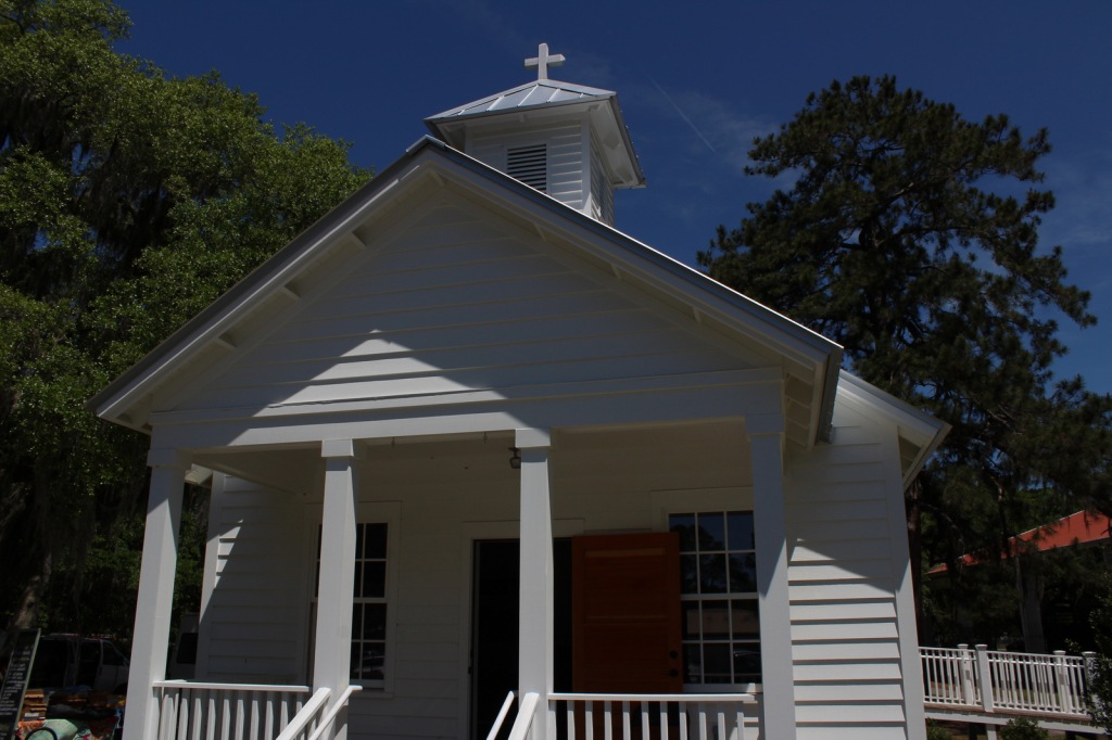
We recommend the ranger-guided tour of Camp Saxton that leaves from the National Park Service (NPS) operated Porter’s Chapel, next to the skate park in Port Royal, South Carolina.  Following the loss of Fort Sumter, the Union Army occupied this area by late-1861, eventually training former slaves to serve as soldiers.  There is nothing left to see of the camp, but there are tabby walls from old Fort Frederick.  After a short walk, the park ranger will help you imagine what the scene would have looked like when the black soldiers were officially freed on Emancipation Day, January 1, 1863.

Best Trail

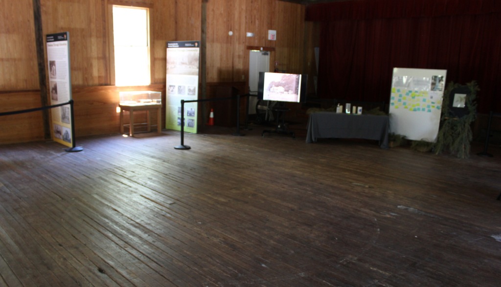
You can walk around the historic Penn Center (guided tours offered) where the NPS maintains a visitor center in Darrah Hall, a donated part of this National Historic Landmark that has a long history of African-American education. 

Instagram-worthy Photo

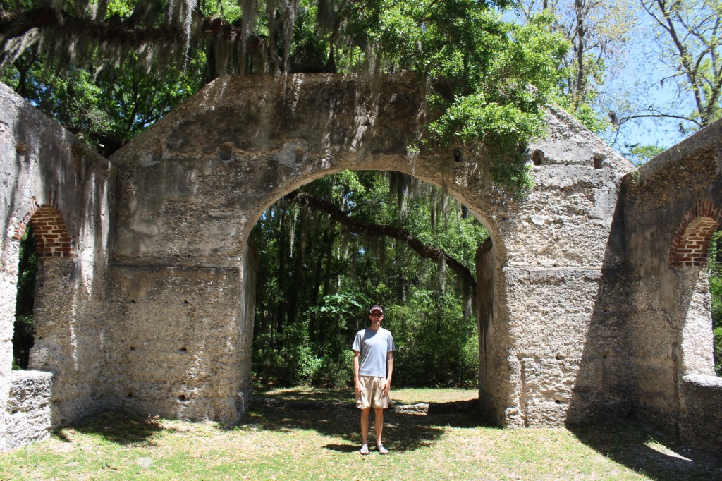
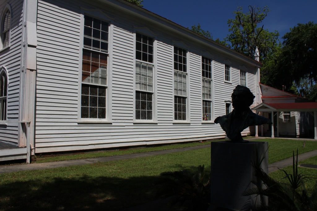
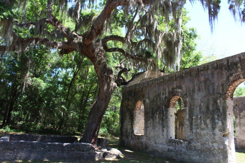
The Old Sheldon Church Ruins are not technically part of the park, but they are located just down the road from the Penn Center.  The Parrish Church of St. Helena outside Beaufort is also very photogenic.
Peak Season

Summer

Hours

https://www.nps.gov/reer/planyourvisit/hours.htm

Fees

None

Road Conditions

All major access roads are paved, although parking can be scarce around Port Royal during the farmers’ market.

Camping

Hunting Island and Edisto Beach State Parks both take camping reservations, so book early.  There are also campgrounds and backcountry campsites north of Charleston, South Carolina in Francis Marion National Forest.

Related Sites

Fort Sumter and Fort Moultrie National Historical Park (South Carolina)

Camp Nelson Heritage National Monument (Kentucky)

Fort Monroe National Monument (Virginia)

Explore More – How did future U.S. Congressman Robert Smalls escape slavery during the Civil War?

El Malpais National Monument

Overview

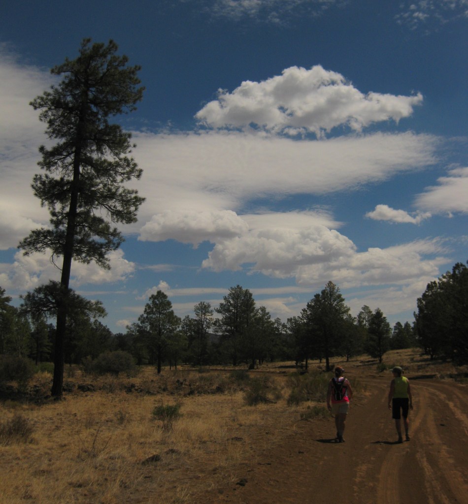
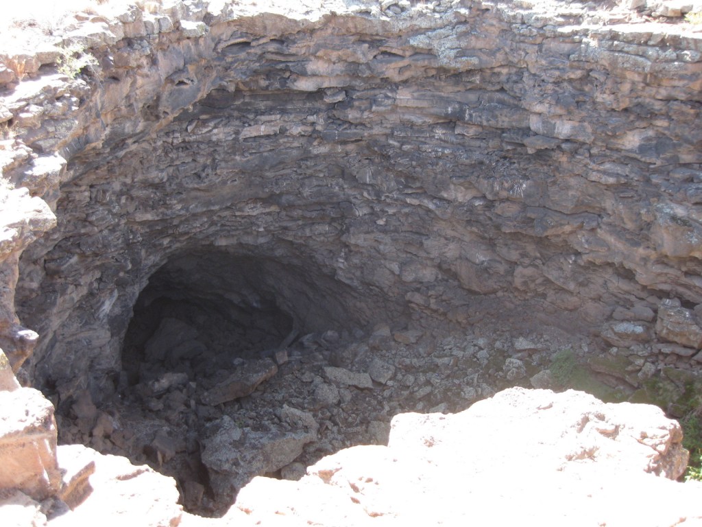
Navajo legend states that during a battle on Mount Taylor, the Twin Gods struck off a giant’s head which became Cabezon Peak, its blood flowing southward, coagulating into the Malpais.  Meaning “the badland” in Spanish, this National Monument contains lava tubes and ice caves among its 114,000 rugged acres.  Easily accessible from Interstate 40, it does not take long before you feel like you are in the middle of nowhere watching beautiful patterns of cloud shadows drift slowly across the landscape.

Highlights

El Calderon lava tubes, Sandstone Bluffs Overlook, Zuni-Acoma Trail, La Ventana Natural Arch

Must-Do Activity

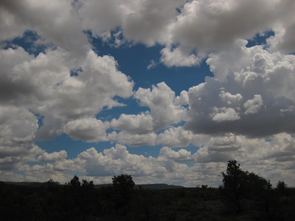
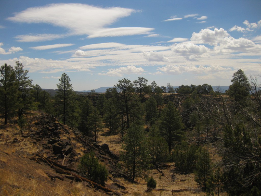
Be sure to take a hike to truly appreciate these lava flows, the most recent of which inundated agricultural fields of the Acoma people as recently as the 1400s.  Carefully stepping across the jagged rocks, we wondered if another cinder cone may be forthcoming to the region.  Geologists suggest that the volcanic activity in this area has ceased indefinitely, yet some of the eruptions here go back over a million years, making us wonder if it is only a temporary lull.  Be careful during the monsoon season, when giant cumulostratus clouds form in the wide-open blue sky foretelling afternoon thunderstorms. 

Best Trail

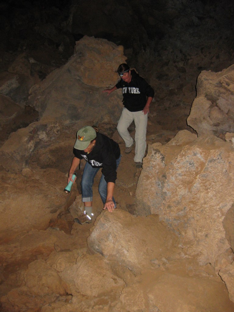
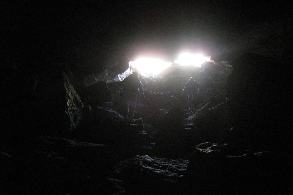
Lava tube caves are a major attraction to the park (and are sometimes closed), but before entering you must pick up a free permit to ensure you do not spread white-nosed bat syndrome.  El Calderon Area is easier to access than the rough road to Big Tubes Area, and in a 3.8-mile loop passes a cinder cone and bat cave, then enters a lava tube.  The Continental Divide National Scenic Trail and difficult 7.5-mile Zuni-Acoma Trail also traverse this mostly shadeless environment.

Instagram-worthy Photo

Take the short hike back to stand below towering La Ventana Natural Arch and enjoy the aroma of juniper wafting through the desert air.  It is technically in the Bureau of Land Management’s El Malpais National Conservation Area, not the neighboring National Monument run by the National Park Service.

Peak Season

Summer

Hours

https://www.nps.gov/elma/planyourvisit/hours.htm

Fees

None

Road Conditions

Most trailheads are off paved roads, but some roads in El Malpais National Monument require four-wheel drive (especially when wet), so check at a visitor center before setting out.

Camping

There are no developed campgrounds, but primitive camping is allowed on back roads and in the surrounding Cibola National Forest.  On Interstate 40, Bluewater Lake State Park has full RV hookups.  There is also a small campground located west down Highway 53 in El Morro National Monument.

Related Sites

Petroglyph National Monument (New Mexico)

Lava Beds National Monument (California)

Sunset Crater Volcano National Monument (Arizona)

Explore More – Privately owned and open for tourists, what makes nearby Bandera Crater special?

Chattahoochee River National Recreation Area

Overview

Similar to the other National Park Service (NPS) sites in the Atlanta, Georgia metropolitan area (see Related Sites below), visiting Chattahoochee River National Recreation Area requires navigating many suburban streets.  Established in 1978, this park is a combination of government jurisdictions and private land that protects 48 miles of the Chattahoochee River downstream from Lake Sidney Lanier northeast of the city.  Due to its lack of large rapids it is popular with canoers, although a release from Buford Dam can lead to a quick rise in river levels and the water is typically a chilly 44° to 58°F.

Highlights

Hewlett Lodge, Vickery Creek, Cochran Shoals, Sope Creek mountain bike trail

Must-Do Activity

A good place to start your visit is the NPS headquarters at Island Ford, which is housed in Hewlett Lodge, a beautiful Adirondack-style mansion built in the 1930s.  There you can get information about hiking, canoeing, and fishing within the National Recreation Area.  You can also walk down to the river’s edge to watch boaters and wildlife from shore.  Not far away in Roswell, Georgia, a short creekside trail leads to the ruins of a textile mill and a dam.

Best Trail

Most sections of the park have some type of hiking trail and there is a wetlands boardwalk within the Cochran Shoals unit.

Instagram-worthy Photo

The covered walking bridge is quite photogenic at the old mill in Roswell, Georgia.

Peak Season

Summer (although we have heard from an Alan Jackson song that it can get “hotter than a hootchie cootchie”)

Hours

https://www.nps.gov/chat/planyourvisit/hours.htm

Fees

Parking fee of $5 per day or America the Beautiful pass

Road Conditions

All roads paved

Camping

No camping is allowed along the river.  The U.S. Corps of Engineers manages campgrounds on Lake Sidney Lanier at the northeastern end of Chattahoochee River National Recreation Area.

Related Sites

Kennesaw Mountain National Battlefield Park (Georgia)

Martin Luther King, Jr. National Historical Park (Georgia)

Ocmulgee Mounds National Historical Park (Georgia)

Explore More – How long is the Chattahoochee River from its mountain headwaters to its confluence with the Flint River at Lake Seminole?

Glacier National Park

Overview

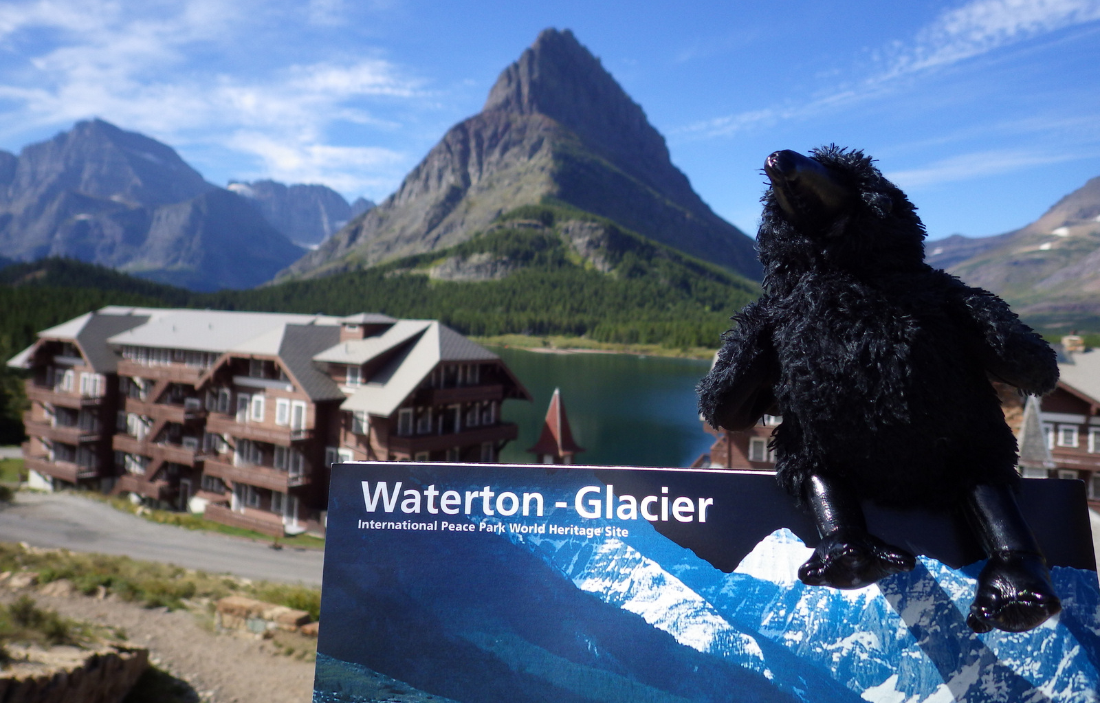
Officially, since 1932 this American-Canadian natural reserve has been called Waterton-Glacier International Peace Park.  We will focus on the U.S. side since you still need a passport to cross the border (when it is open).  The million-acre Glacier National Park was established in 1910 as a tourist destination and to protect its wildlife, including grizzly/brown bears.  It is open year round, but sees more than half its visitors in July and August.

Learn more in our guidebook to the National Parks, A Park to Yourself: Finding Adventure in America’s National Parks (available on Amazon).

Highlights

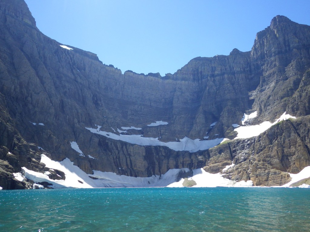
Going-to-the-Sun Road, St. Mary Lake, Logan Pass, Many Glacier Hotel, Iceberg Lake

Must-Do Activity

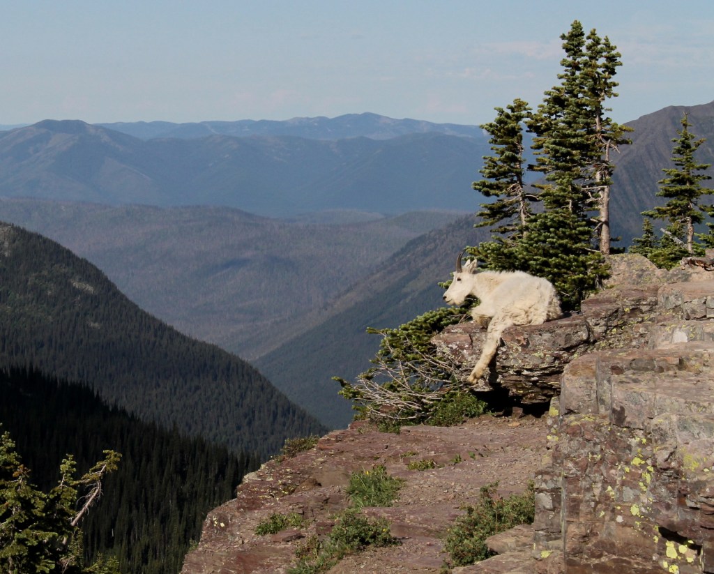
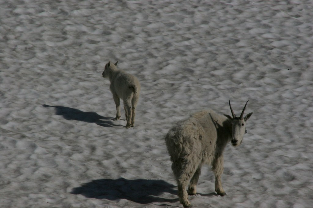
The world renowned Going-to-the-Sun Road was built to cross the park from east to west in the 1920s.  At its highest point (6,646-foot Logan Pass), the road crosses the Continental Divide, an imaginary line where a raindrop drains all the way into the Atlantic Ocean on one side and into the Pacific Ocean on the other.  Hidden Lake Overlook near the Logan Pass Visitor Center is known for sightings of mountain goats, bighorn sheep, and hoary marmots.

Best Trail

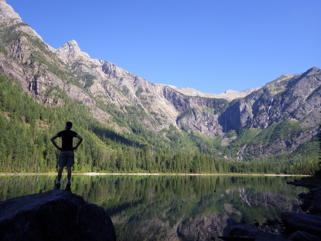
Avalanche Lake is located at the end of a two-mile one-way hike from the famous Going-to-the-Sun Road.  We spotted a grizzly/brown bear on the way back from our hike there.

Instagram-worthy Photo

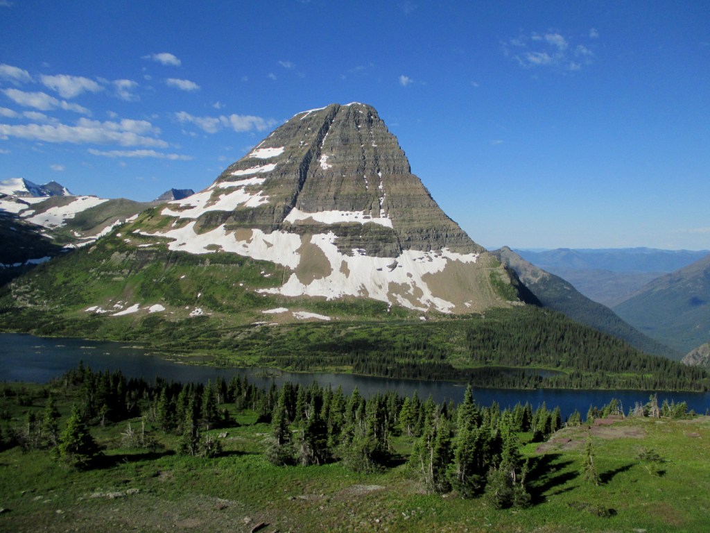
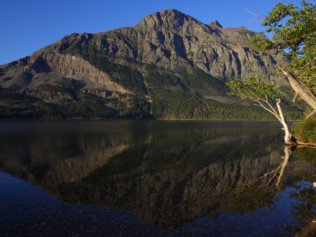
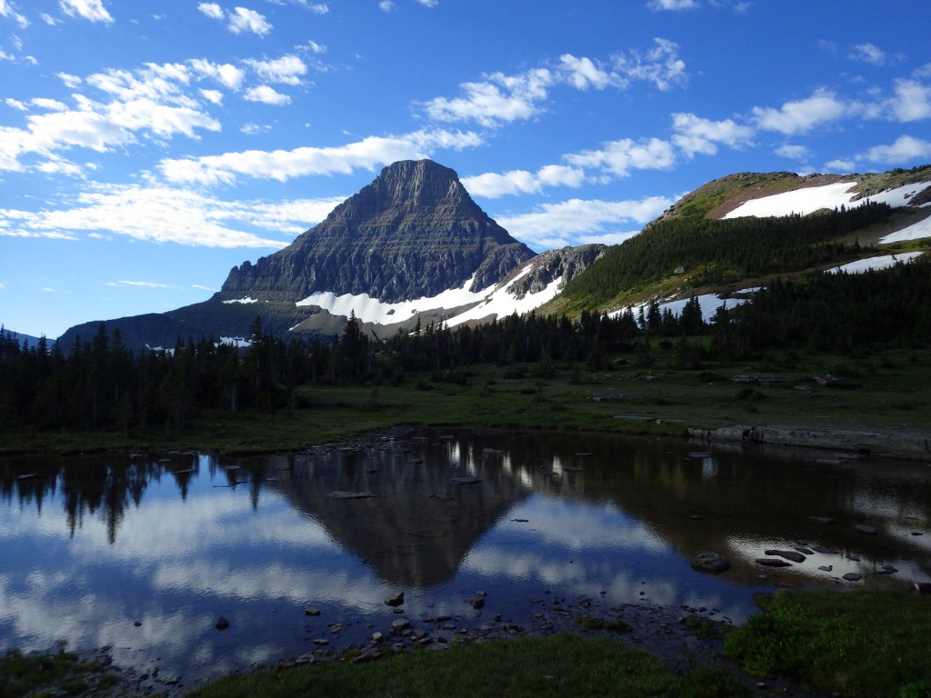
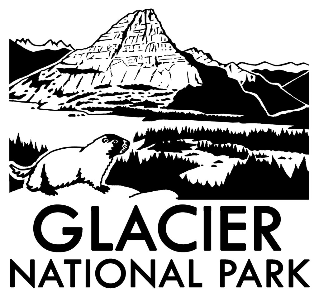
Hidden Lake often reflects the image of Bearhat Mountain, which is why we chose it as our logo design for Glacier National Park (see below).

Peak Season

Summer

Hours

https://www.nps.gov/glac/planyourvisit/hours.htm

Fees

$35 per vehicle or America the Beautiful pass

Road Conditions

Vehicles over 21 feet in length or eight feet in width are prohibited in the middle sections of Going-to-the-Sun Road.  Good dirt roads lead to campgrounds at Bowman Lake and Kintla Lake on the west side of the park.

Camping

St. Mary and Fish Creek Campgrounds accept reservations and several others are available on a first-come, first-served basis.

Related Sites

Yellowstone National Park (Wyoming-Montana-Idaho)

Grant-Kohrs Ranch National Historic Site (Montana)

Big Hole National Battlefield (Montana)

This design we created to celebrate Glacier National Park is available on a variety of products at Cafe Press and Amazon.

Explore More – When were the iconic “red jammer” buses first introduced to the park?

We are a participant in the Amazon Services LLC Associates Program, an affiliate advertising program designed to provide a means for us to earn fees by linking to Amazon.com and affiliated sites.

Freedom Riders National Monument

Overview

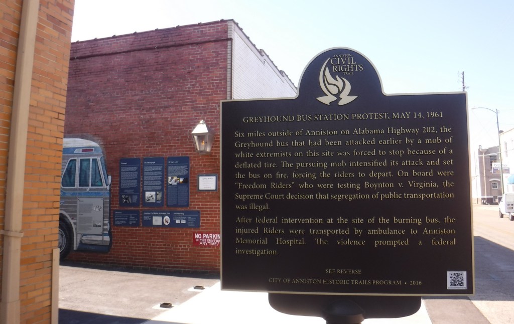
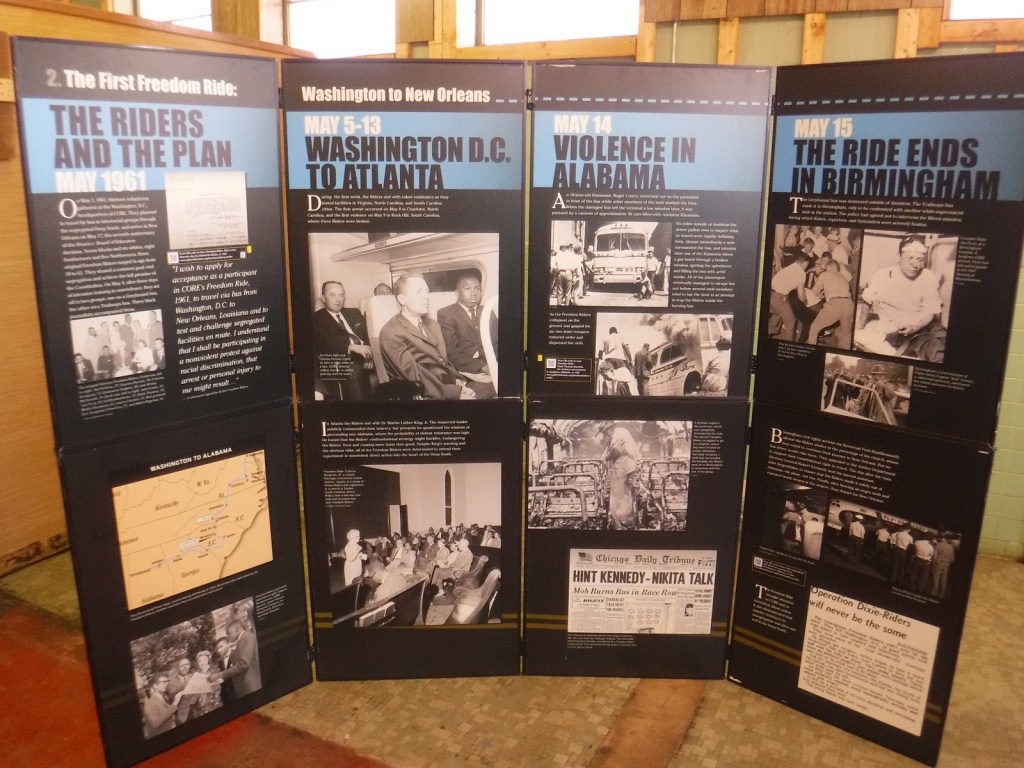
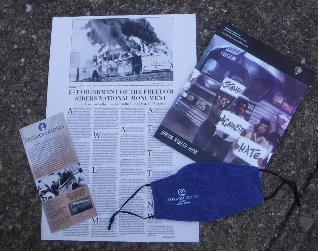
On May 4, 1961, an interracial group of “Freedom Riders” boarded two buses in Washington, D.C. bound for New Orleans to test whether southern bus stations were following the U.S. Supreme Court ruling that ended segregation in interstate travel.  On Sunday, May 14, the Greyhound bus was met by an angry mob in Anniston, Alabama that broke windows and slashed tires.  Eventually police officers cleared a path for the bus, but it was forced to stop just five miles outside town where a bundle of flaming rags caused an explosion and fire inside the vehicle.  Everyone escaped the bus although there were attempts to trap the seven Freedom Riders on board.  Joseph Postiglione’s iconic photo of the burning bus appeared in newspapers across the country, encouraging more Freedom Riders and changes to laws.

Highlights

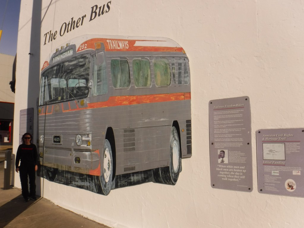
Greyhound bus depot, Trailways bus mural, site of bus burning

Must-Do Activity

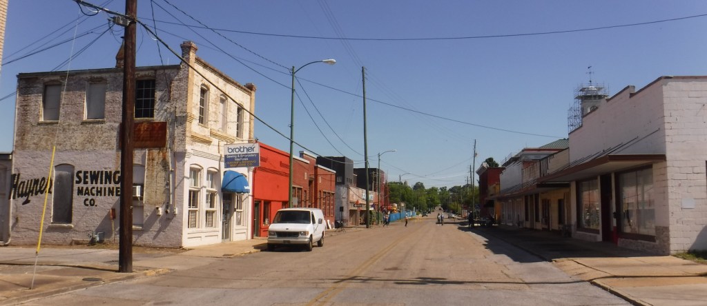
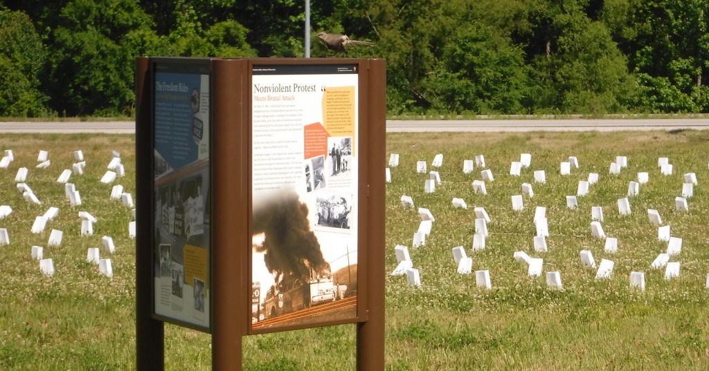
President Obama established Freedom Riders National Monument in 2017, so the park is still under development, but they do already have an outstanding Junior Ranger program.  The National Park Service (NPS) has temporary displays inside its visitor center in the historic Anniston bus station and outside is a beautiful mural of a Greyhound bus and an audio recounting of the 1961 events by Hank Thomas, a survivor.  Down the road on Highway 202, the bus burning site is currently just an informational display in a field.  We were there for the 60th anniversary events, when 400 luminaria were placed to represent the total number of Freedom Riders.  Several other murals can be found around Anniston, including a second bus at Noble and 9th Street with Charles Person’s audio description of events that took place that same day. We also recommend the excellent Freedom Rides Museum (admission charged) in Montgomery, Alabama, where similar violence took place on May 20, 1961.

Best Trail

None

Instagram-worthy Photo

In the alley next to the NPS visitor center, in front of the life-sized mural of a 1961 Greyhound bus is a lamp dedicated in August 2013 to the bravery of the Freedom Riders.

Peak Season

Spring

Hours

https://www.nps.gov/frri/planyourvisit/hours.htm

Fees

None

Road Conditions

Street parking is free outside the NPS visitor center.  To access the bus burning site, be sure to park off Old Birmingham Highway and not along the busy Highway 202 shoulder.

Camping

South of Interstate 20, campgrounds can be found in Cheaha State Park and Talladega National Forest, which also provides dispersed camping and great backpacking opportunities.

Related Sites

Birmingham Civil Rights National Monument (Alabama)

Martin Luther King, Jr., National Historical Park (Georgia)

Medgar and Myrlie Evers Home National Monument (Mississippi)

Explore More – Who was the future U.S. Congressman who took part in the 1961 Freedom Rides?