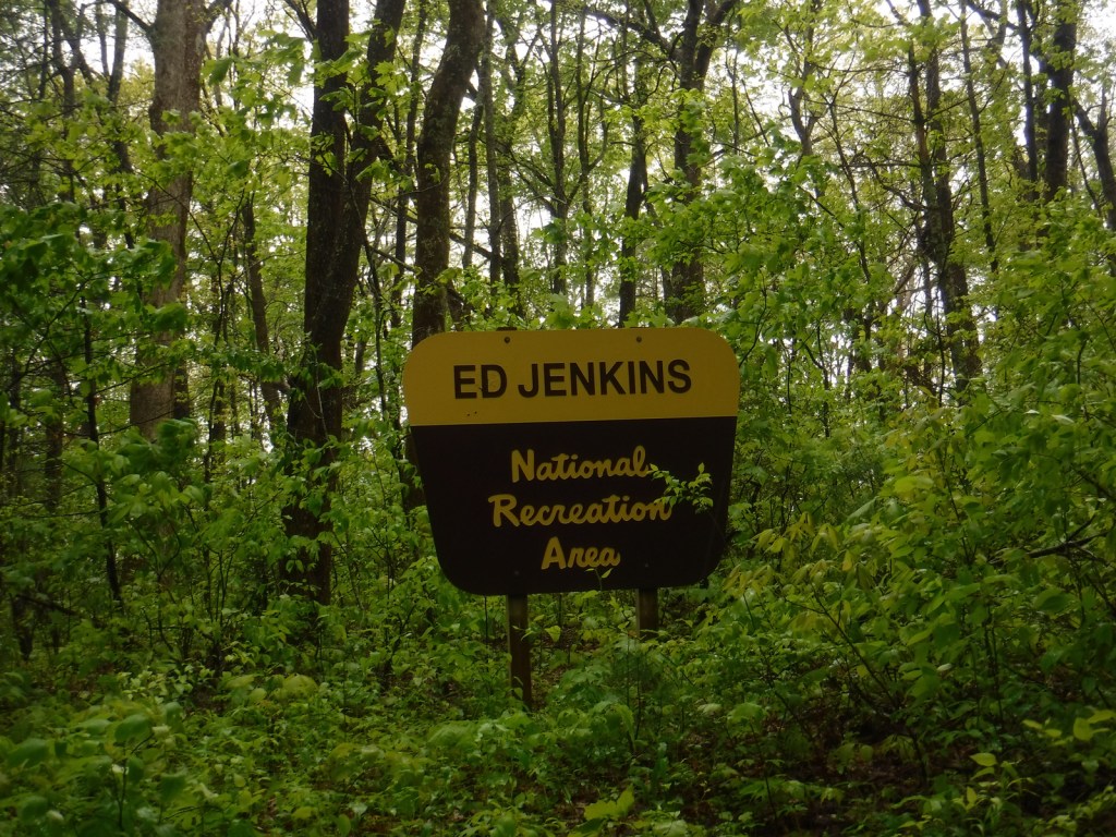
Ed Jenkins National Recreation Area
Georgia
Managed by U.S. Forest Service, Chattahoochee National Forest
23,330 acres
Overview
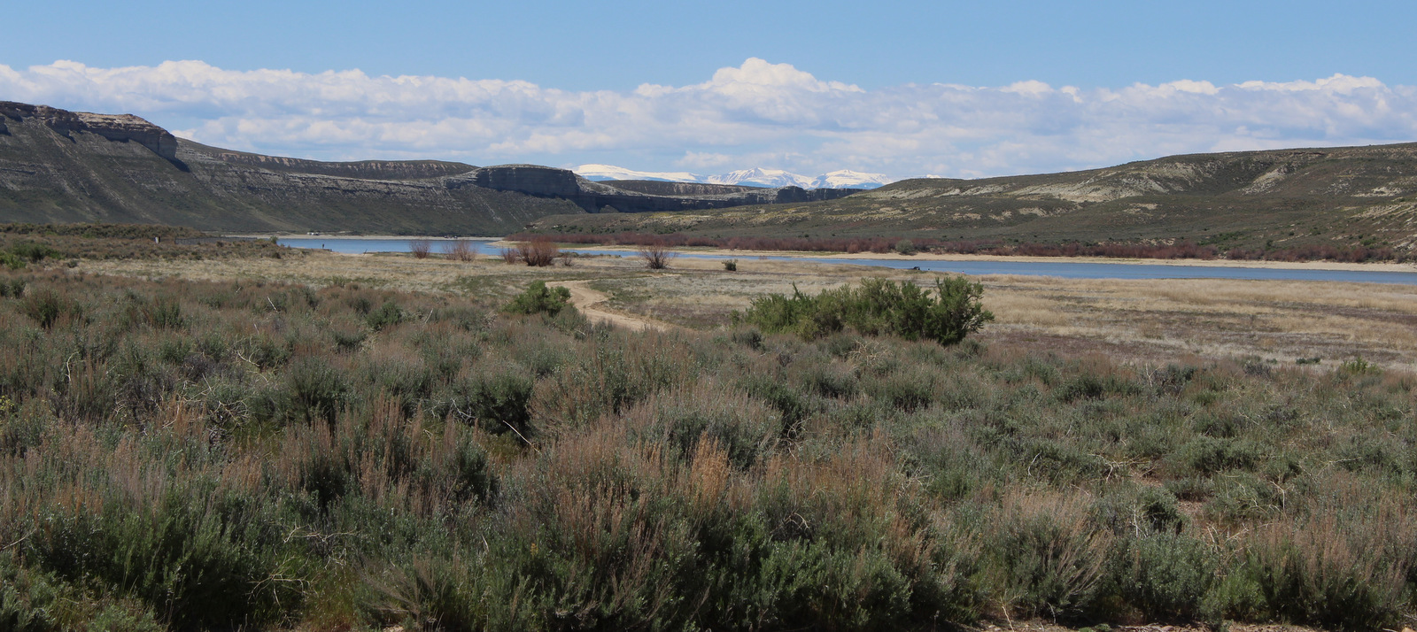
Your first question is probably, “Who is Ed Jenkins?” Edgar Lanier Jenkins (1933-2012) was a politician who served as one of Georgia’s U.S. Congressional representatives from 1977 to 1993. This spot was initially proposed as Springer Mountain National Recreation Area, but was renamed when established in 1991. If Springer Mountain sounds familiar, that is because it is the southern terminus of the Appalachian National Scenic Trail that runs 2,185 miles to Katahdin in Maine through numerous National Forests (as well as Great Smoky Mountains and Shenandoah National Parks). A memorable part of Bill Bryson’s book A Walk in the Woods takes place in Ed Jenkins National Recreation Area.

Highlights
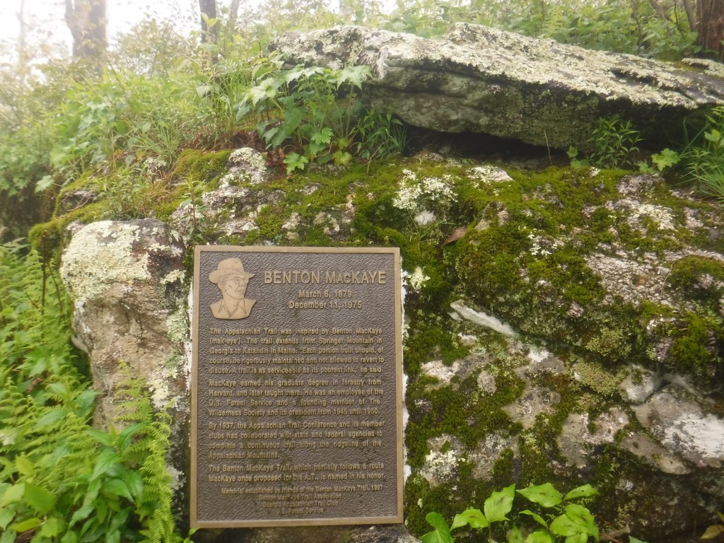
Benton MacKaye Trail, Owen Vista, Appalachian National Scenic Trail southern terminus
Must-Do Activity
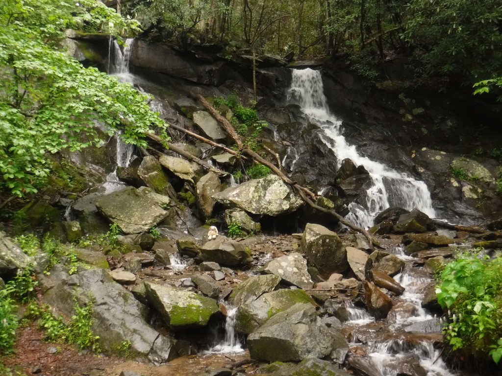
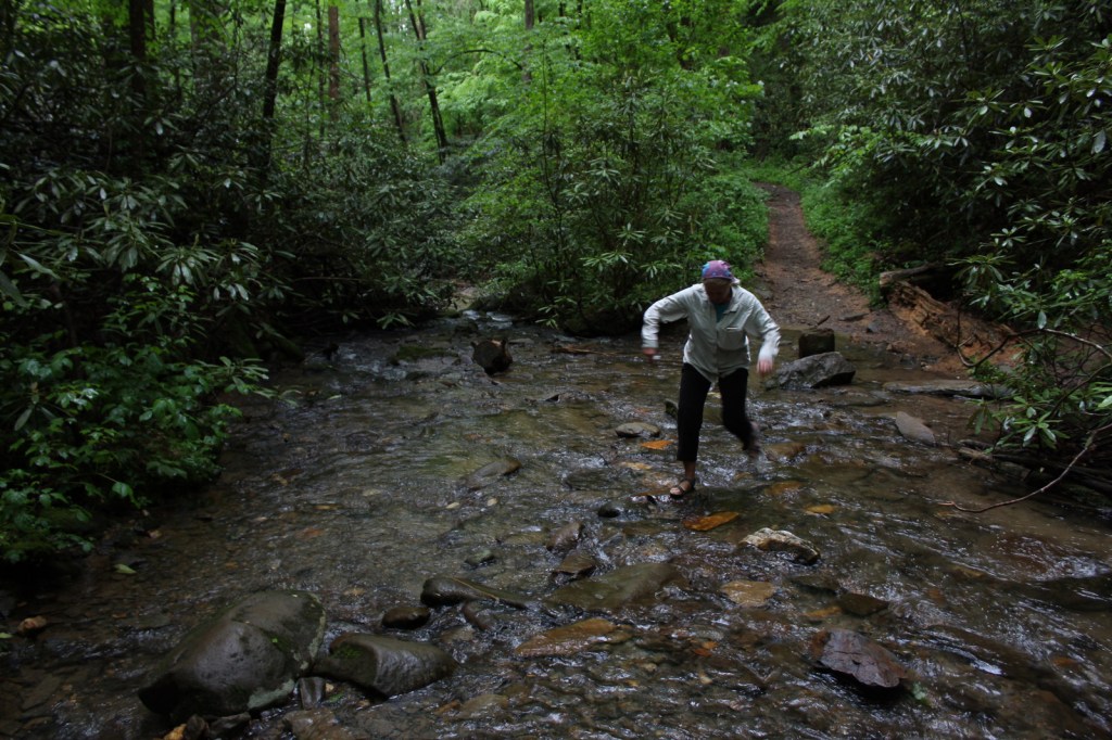
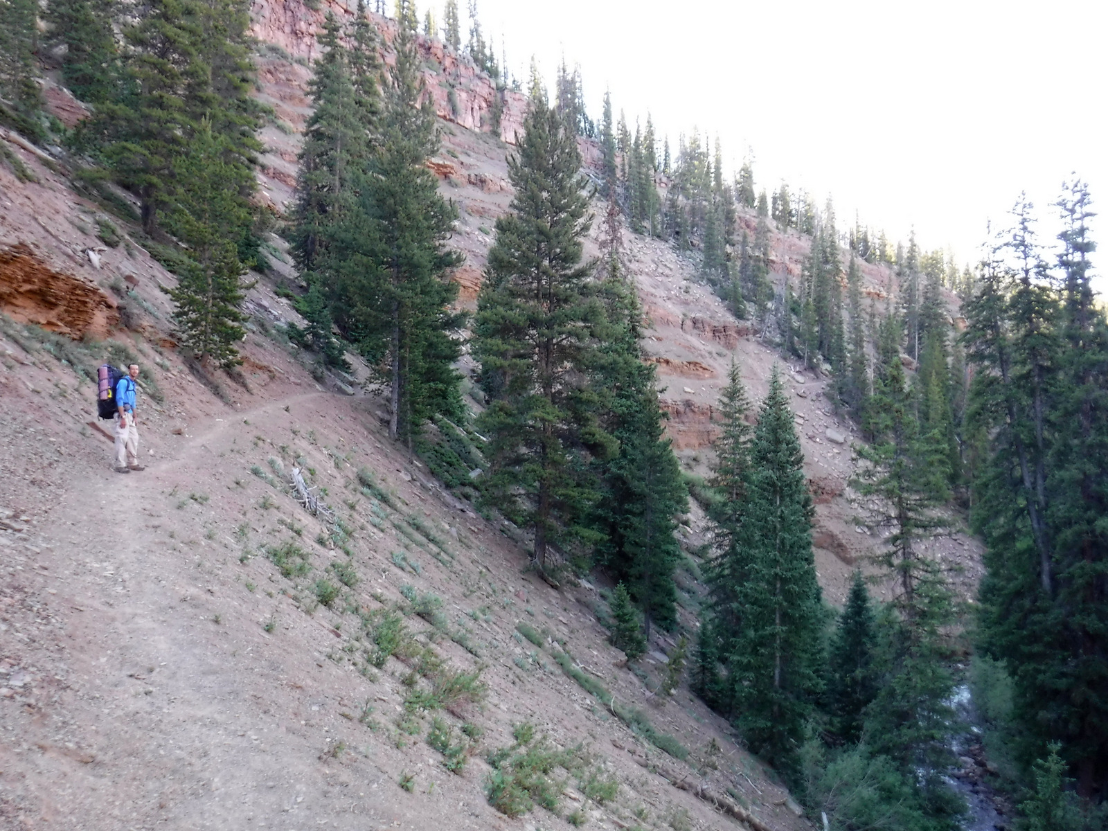
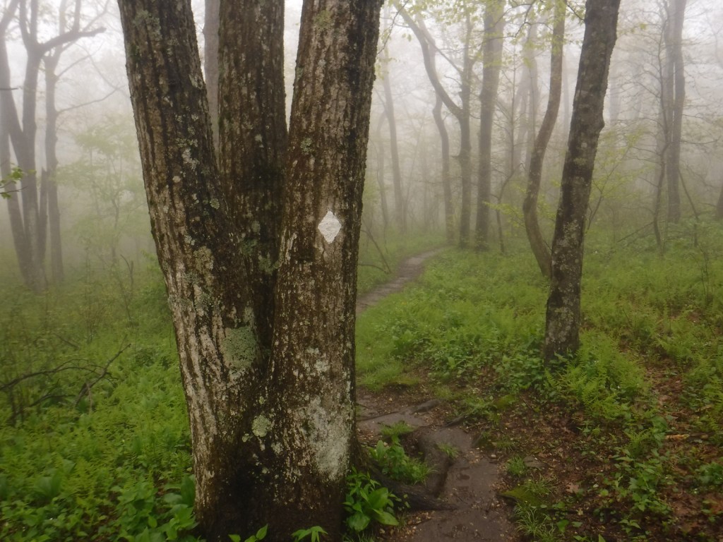
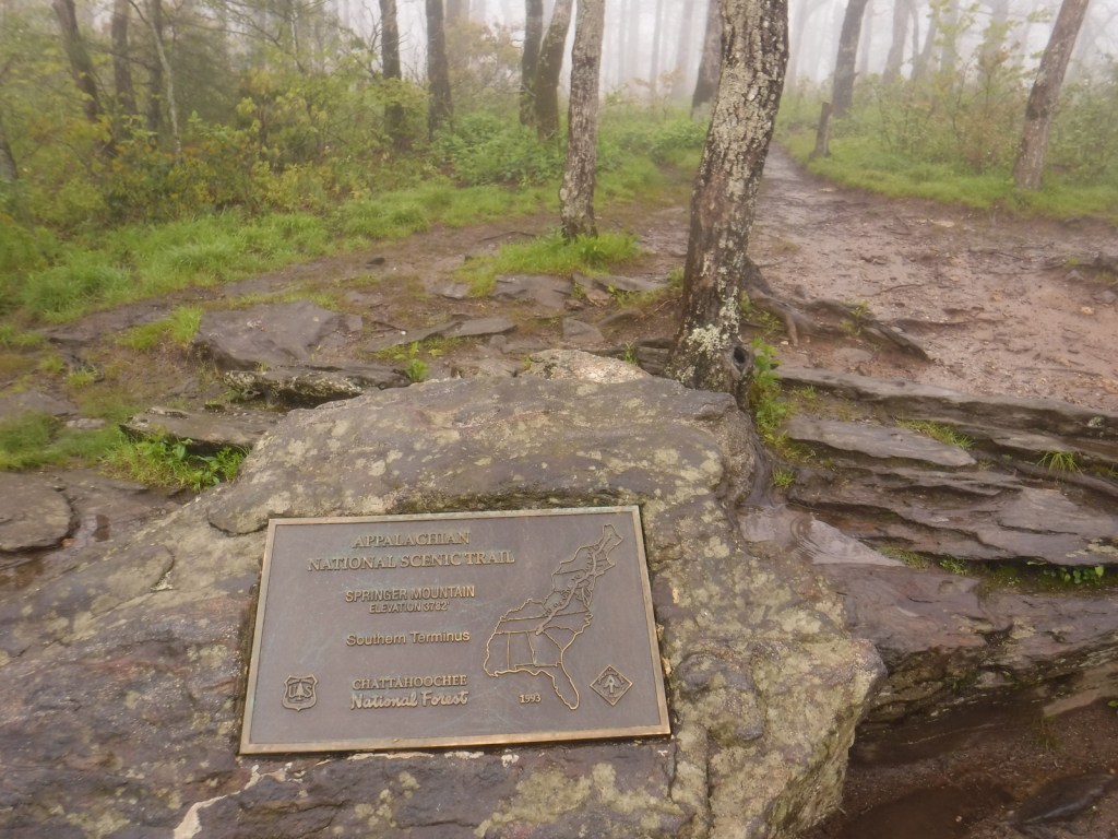
The southern terminus of the Appalachian National Scenic Trail was at Mt. Oglethorpe until 1958, when it was moved 14 miles northeast due to increased development. Thru-hikers can access the bronze plaque and trail register at the top of Springer Mountain by hiking 8.5 miles from Amicolola Falls State Park. An easier option is to start from potholed Forest Service Road 42 and ascend 0.9 miles south to the summit. Some thru-hikers choose to spend the night in the open-front trail shelter near the top, but many simply turn around to head back north.
Best Trail
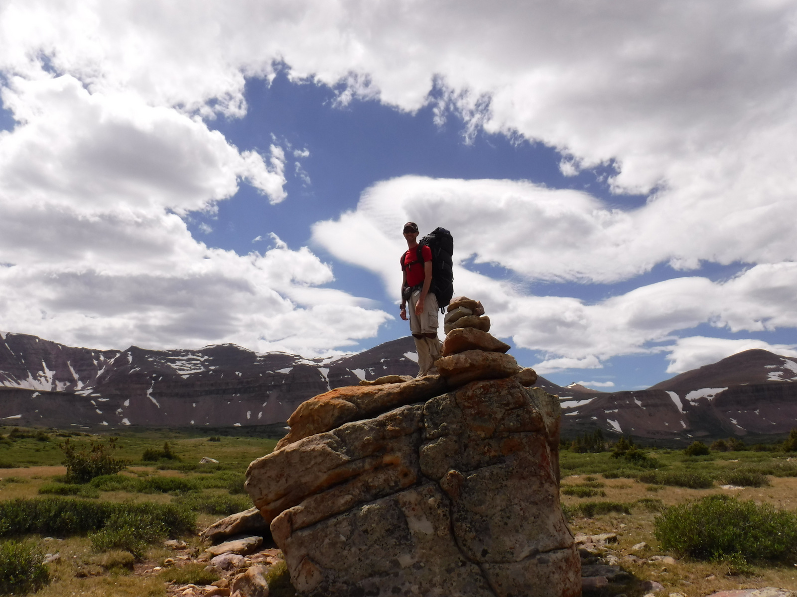
Similar to summiting Katahdin at the northern terminus of the Appalachian National Scenic Trail, thru-hikers have to hike to the end of the trail, and then turn around. For day hikers, a nice option is to add the eastern part of the Benton MacKaye Trail to make a 4.7-mile loop that passes Owen Vista.
Instagram-worthy Photo
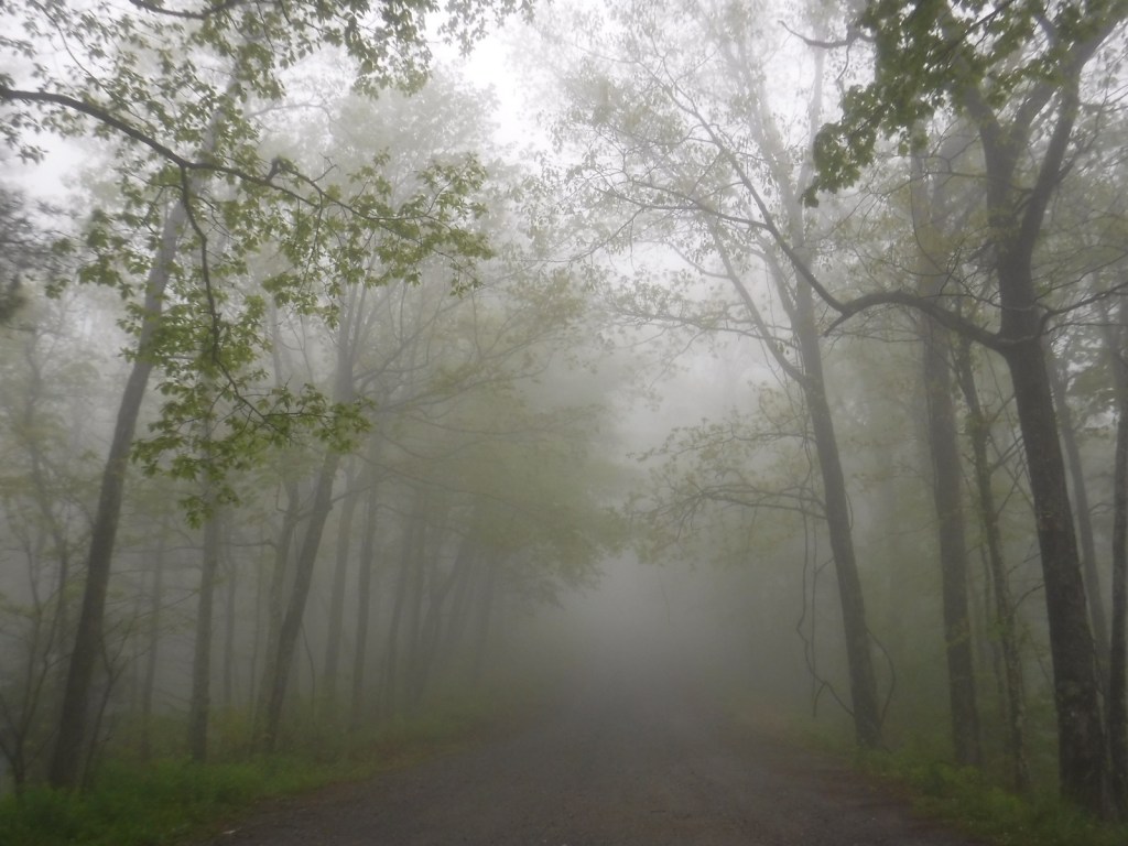
It was quite foggy when we visited, so we did not get any great vistas, but you have to photograph the bronze plaque marking the southern terminus of the famed Appalachian National Scenic Trail.

Peak Season
Spring
Fees
None
Road Conditions
Forest Service Road 42 that accesses the trailhead is dirt and full of potholes, but it is doable in a passenger vehicle.
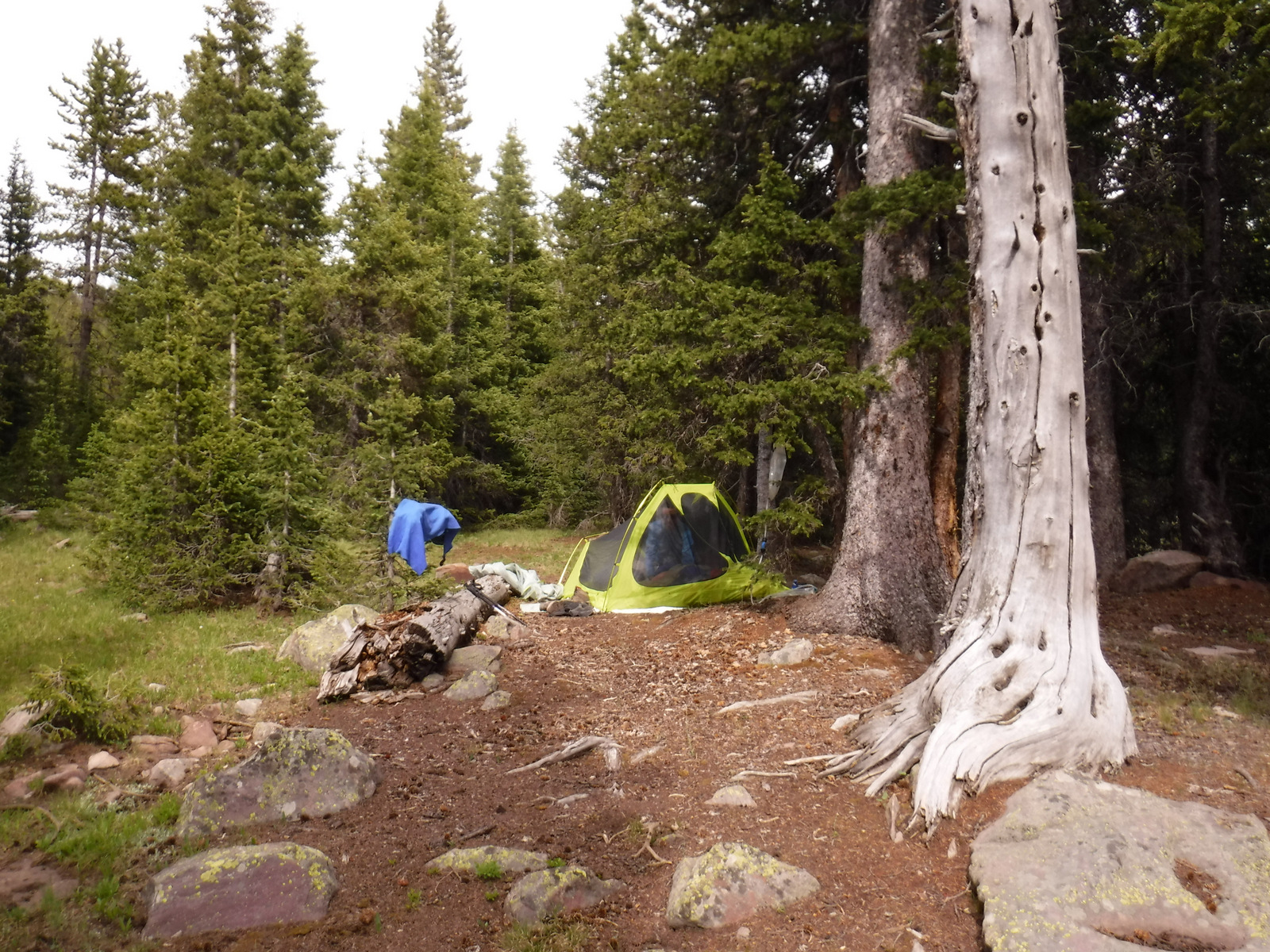
Camping
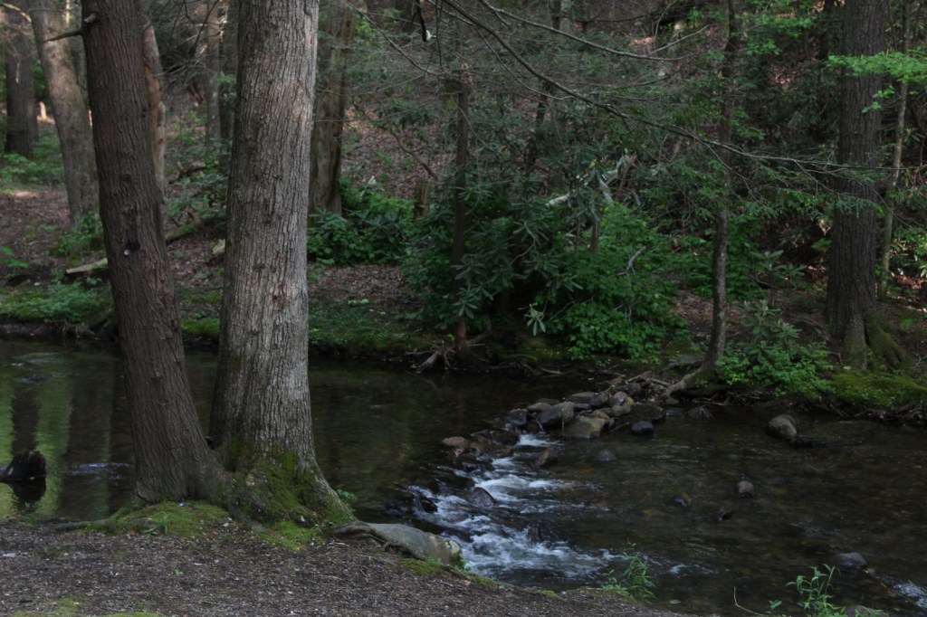
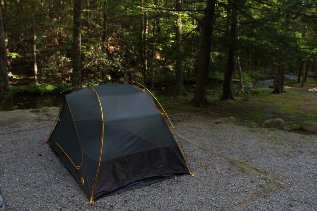
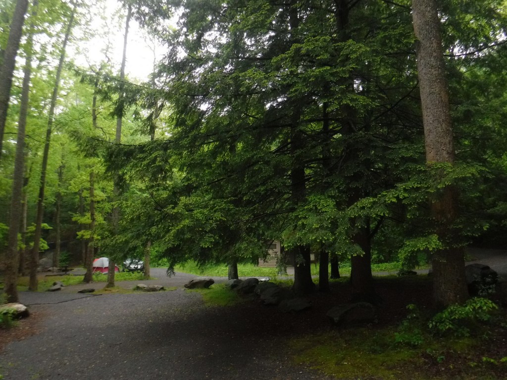
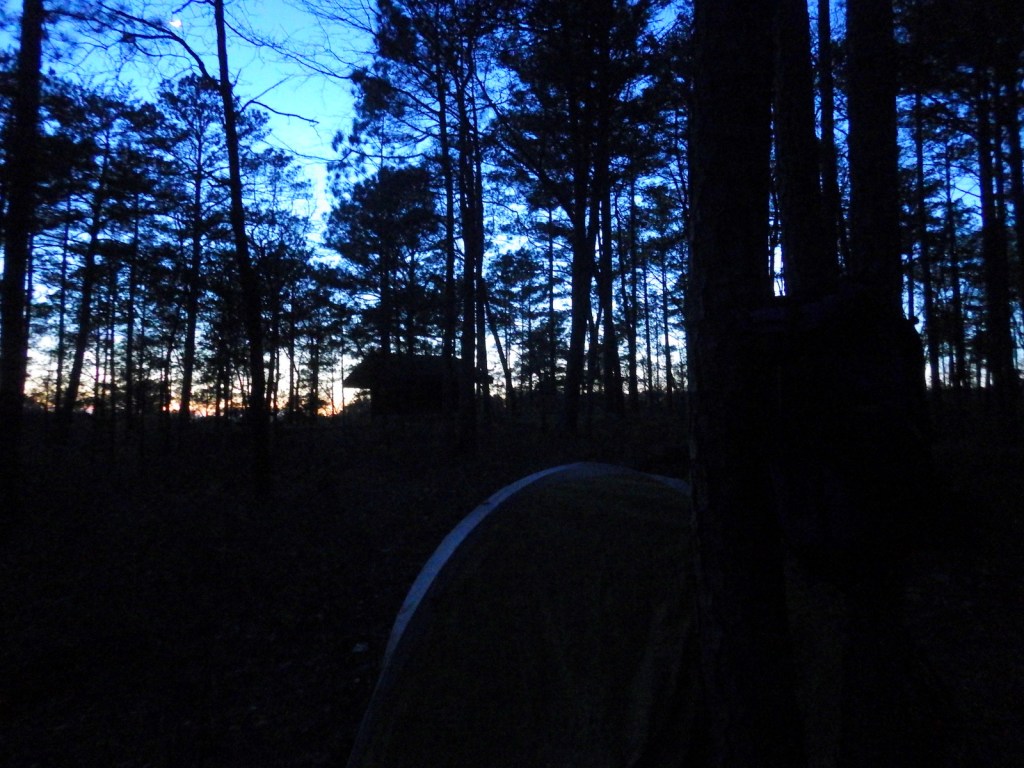
Some thru-hikers choose to spend the night in the open-front trail shelter near the summit of Springer Mountain. If you have a car, we recommend you drive west in Chattahoochee National Forest to the free Hickey Gap Campground (which made our Top 10 Campgrounds in National Forests list).
Related Sites
Chickamauga and Chattanooga National Military Park (Georgia)
Kennesaw Mountain National Battlefield Park (Georgia)
Appalachian National Scenic Trail (Maine to Georgia)
Nearest National Park


Explore More – How many National Forests does the 2,185-mile Appalachian National Scenic Trail cross?