Overview
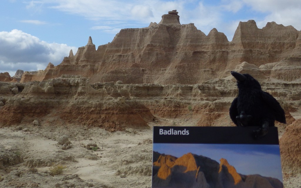
Badlands National Park is known for its fossils, but not all of the mammals here are extinct. Bison and bighorn sheep were reintroduced to the park, in addition to common prairie residents that include pronghorn, mule deer, prairie dogs, and coyotes.
Highlights
Door Trail, Notch Trail, Conata Basin, Sage Creek Road
Must-Do Activity
Driving the dirt road back to the free Sage Creek Primitive Campground, you will likely encounter a roaming bison herd and several prairie dog towns. Bighorn sheep and pronghorn can also be found near the road.
Best Trail
The Notch Trail is only 1.5 miles in and out, but is an adventure with a large ladder, badlands, cliffs, and an excellent overlook at the end.
Instagram-worthy Photo
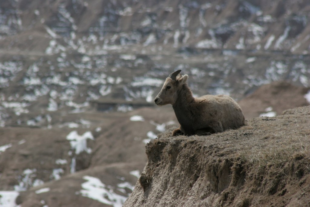
Bighorn sheep, many with large curling horns, seem to pose atop the badlands formations, especially around the Pinnacles Overlook.
Peak Season
Summer, but we prefer the fall when it is less crowded, especially in Sage Creek Primitive Campground.
Hours
https://www.nps.gov/badl/planyourvisit/hours.htm
Fees
$25 per vehicle or America The Beautiful pass
Road Conditions
Badlands Loop Road is paved, and Sage Creek Road and Conata Road are both graded and passable to all vehicles. Sheep Mountain Table Road in the Stronghold Unit may be more difficult when wet, but otherwise does not require four-wheel drive as designated on the park map.
Camping
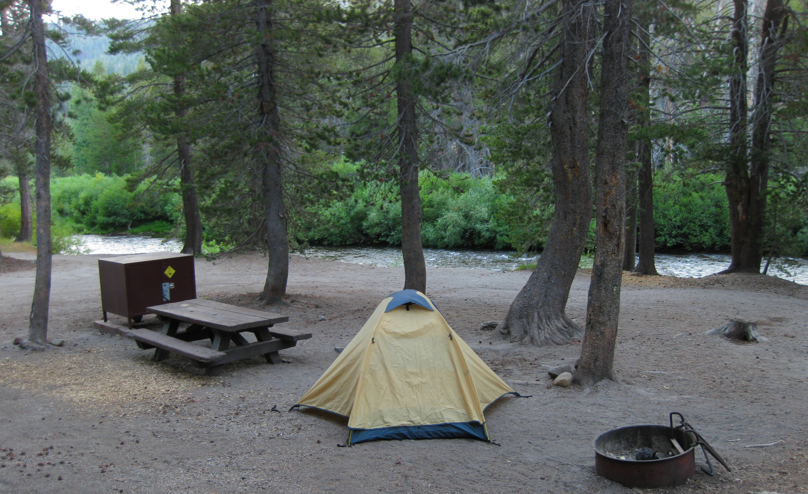
Cedar Pass Campground has RV sites and the free Sage Creek Primitive Campground is located down a good dirt road on the west side of the park. Backpacking is free and only requires registration at the trailhead.


Prairie dog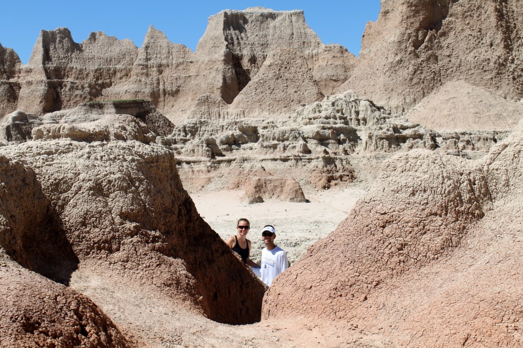
Door Trail 
Bison 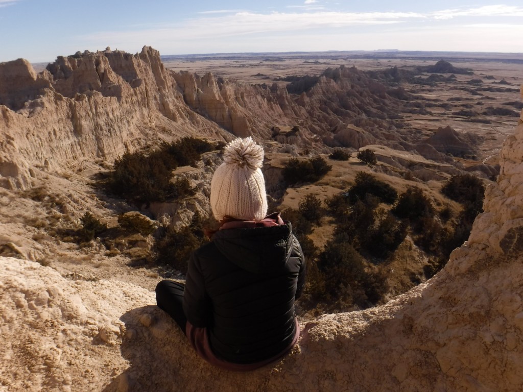
Tiff at the end of the Notch Trail 
Scott on the Notch Trail 
Tiff backpacking in Conata Basin 
Sunset at our backpacking camp in Conata Basin 
Bighorn sheep 
Sunset in Sage Creek Camground

This design we created to celebrate Badlands National Park is available on a variety of products at Cafe Press and Amazon.

Explore More – How many endangered black-footed ferrets were reintroduced to the park in 1994?
We are a participant in the Amazon Services LLC Associates Program, an affiliate advertising program designed to provide a means for us to earn fees by linking to Amazon.com and affiliated sites.