Overview
Officially, since 1932 this American-Canadian natural reserve has been called Waterton-Glacier International Peace Park. We will focus on the U.S. side since you still need a passport to cross the border (when it is open). The million-acre Glacier National Park was established in 1910 as a tourist destination and to protect its wildlife, including grizzly/brown bears. It is open year round, but sees more than half its visitors in July and August.
Learn more in our guidebook to the National Parks, A Park to Yourself: Finding Adventure in America’s National Parks (available on Amazon).
Highlights
Going-to-the-Sun Road, St. Mary Lake, Logan Pass, Many Glacier Hotel, Iceberg Lake
Must-Do Activity
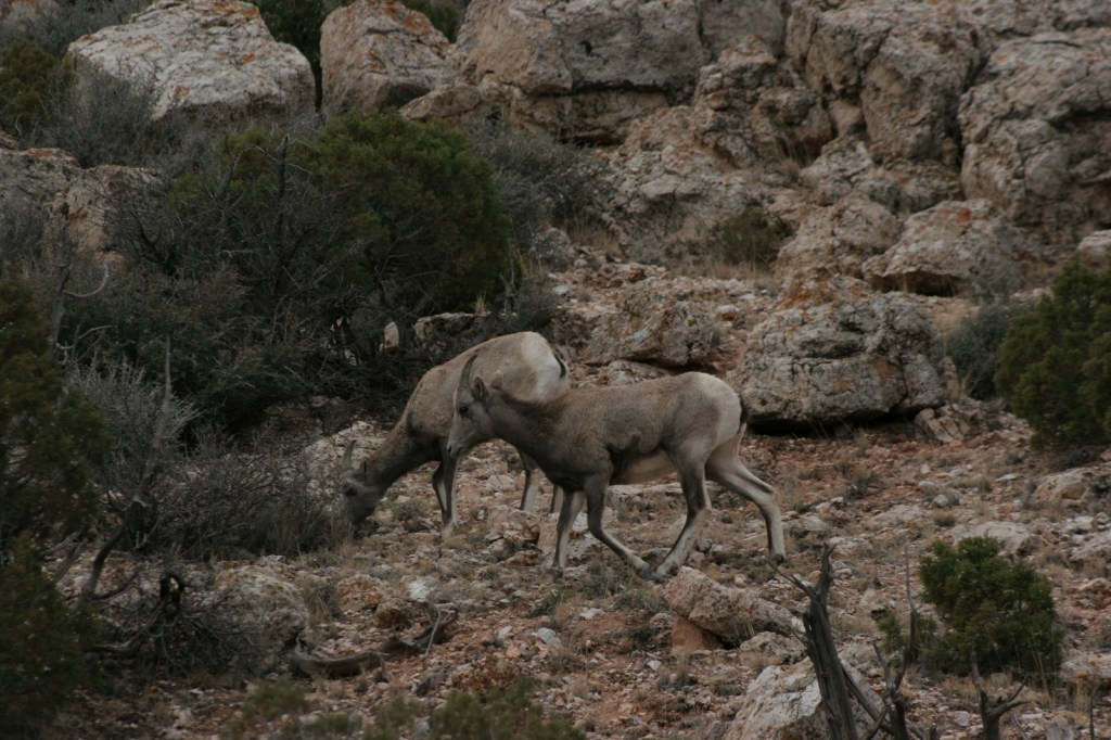
The world renowned Going-to-the-Sun Road was built to cross the park from east to west in the 1920s. At its highest point (6,646-foot Logan Pass), the road crosses the Continental Divide, an imaginary line where a raindrop drains all the way into the Atlantic Ocean on one side and into the Pacific Ocean on the other. Hidden Lake Overlook near the Logan Pass Visitor Center is known for sightings of mountain goats, bighorn sheep, and hoary marmots.
Best Trail
Avalanche Lake is located at the end of a two-mile one-way hike from the famous Going-to-the-Sun Road. We spotted a grizzly/brown bear on the way back from our hike there.
Instagram-worthy Photo
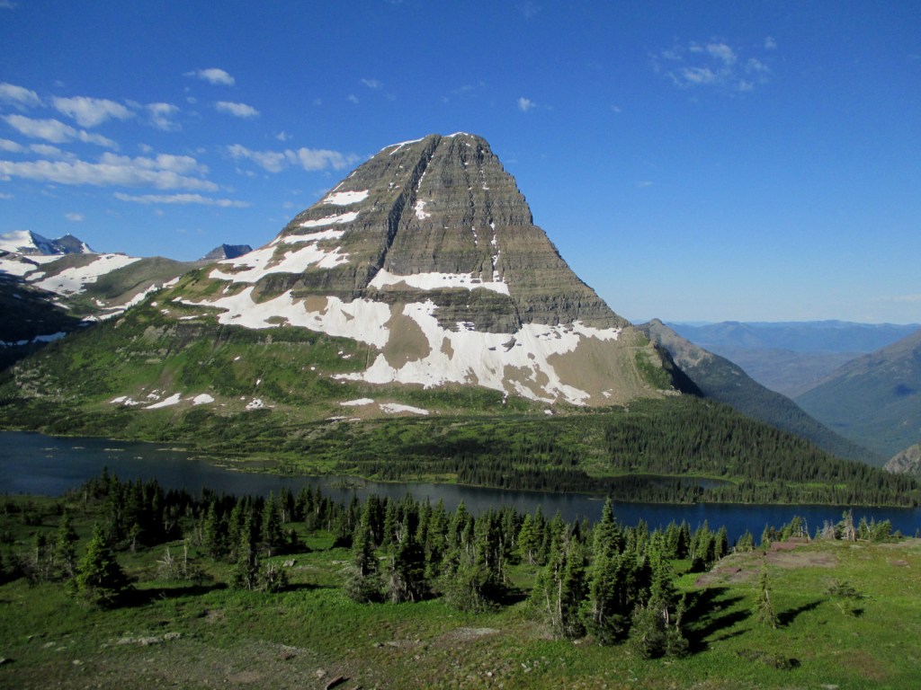
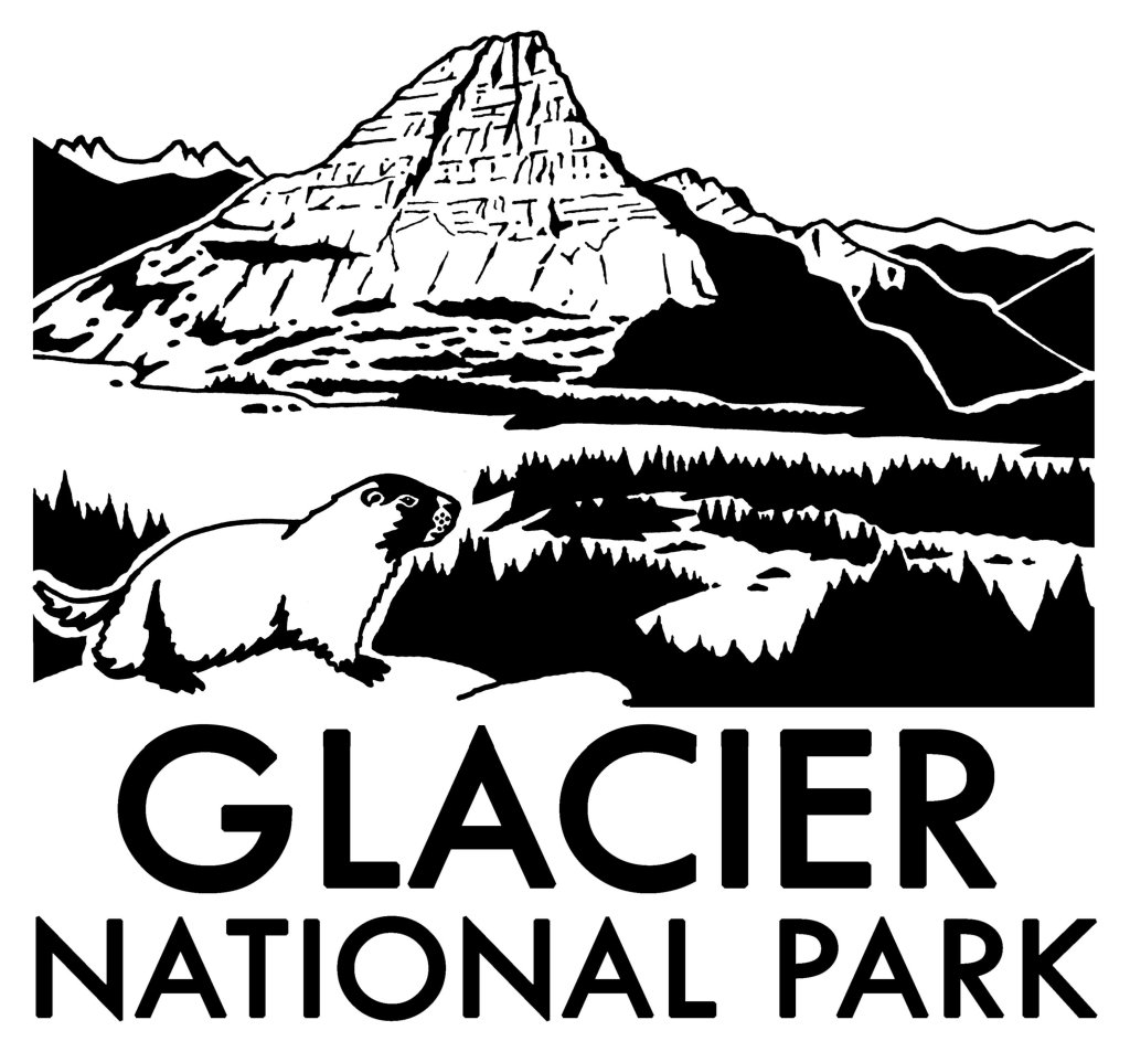
Hidden Lake often reflects the image of Bearhat Mountain, which is why we chose it as our logo design for Glacier National Park (see below).
Peak Season
Summer
Hours
https://www.nps.gov/glac/planyourvisit/hours.htm
Fees
$35 per vehicle or America the Beautiful pass
Road Conditions
Vehicles over 21 feet in length or eight feet in width are prohibited in the middle sections of Going-to-the-Sun Road. Good dirt roads lead to campgrounds at Bowman Lake and Kintla Lake on the west side of the park.
Camping
St. Mary and Fish Creek Campgrounds accept reservations and several others are available on a first-come, first-served basis.
Related Sites
Yellowstone National Park (Wyoming-Montana-Idaho)
Grant-Kohrs Ranch National Historic Site (Montana)
Big Hole National Battlefield (Montana)
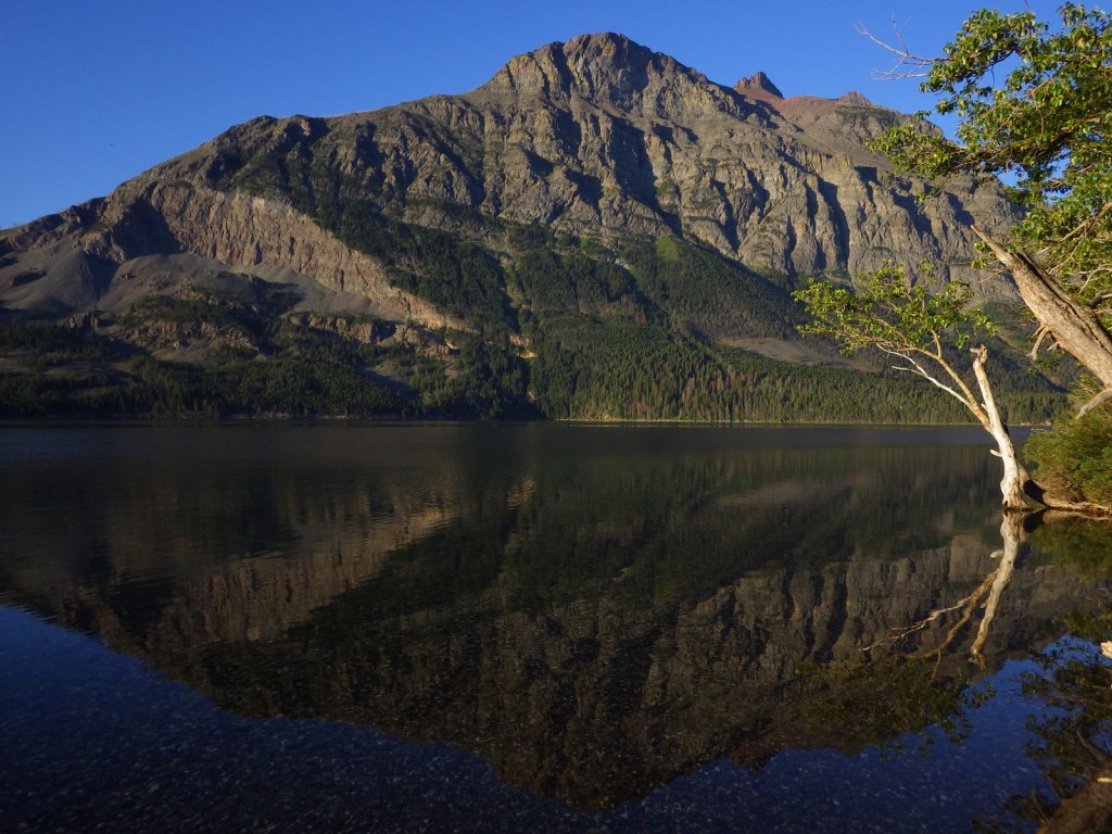
St. Mary Lake 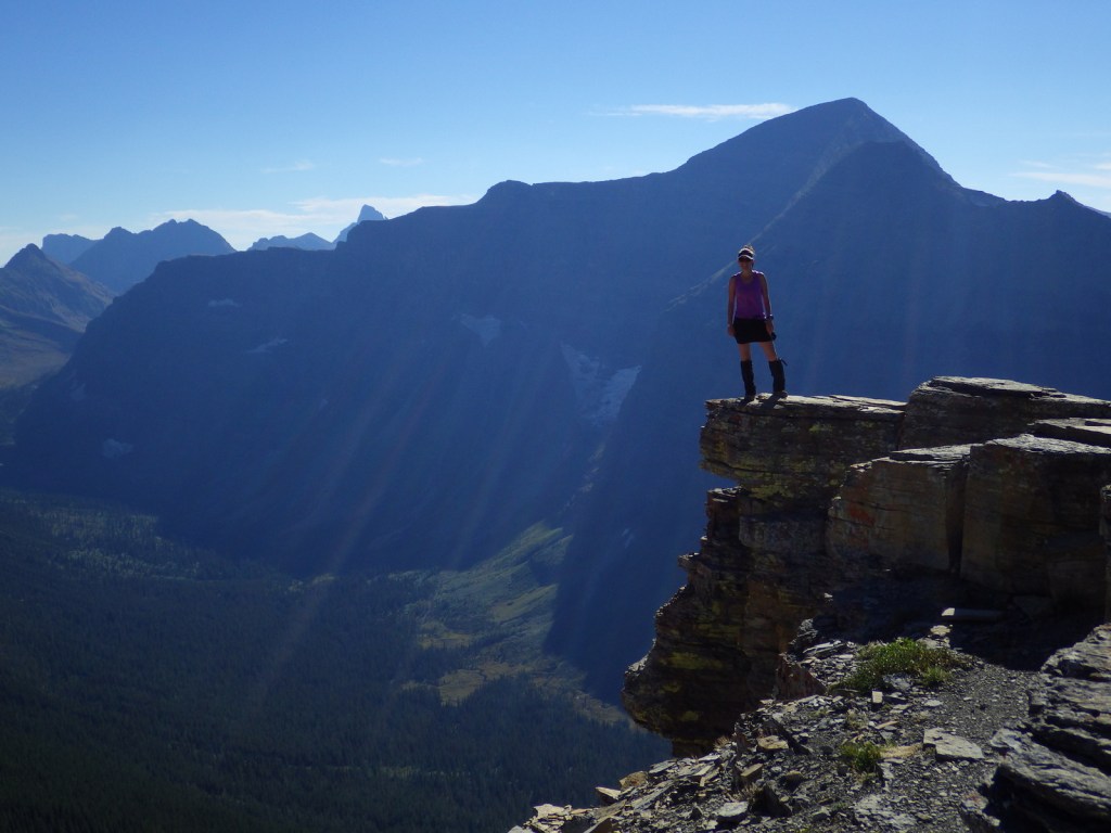
Tiff on a trail near Two Medicine 
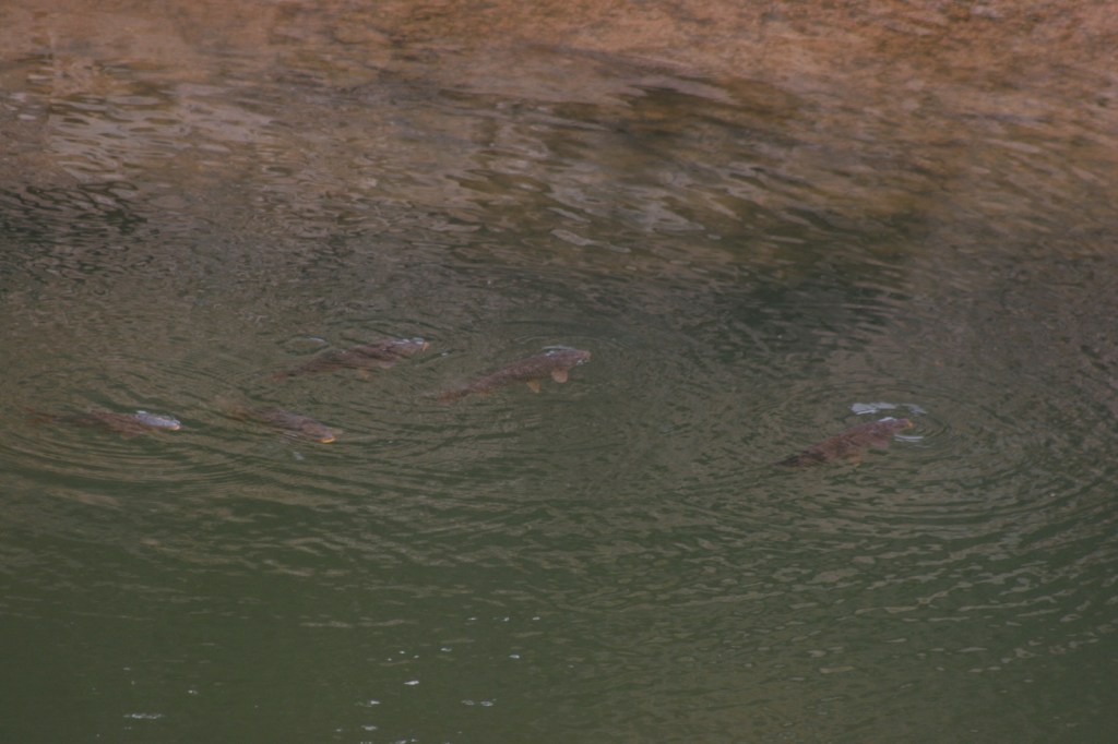
Moose in Swiftcurrent Lake 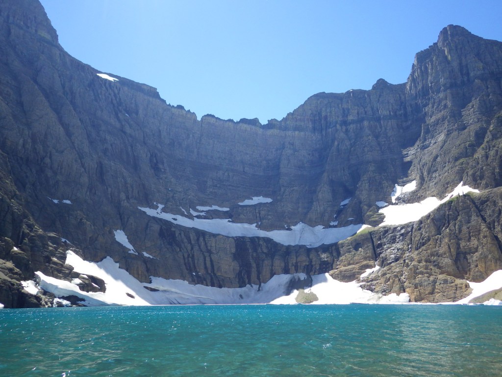
Iceberg Lake 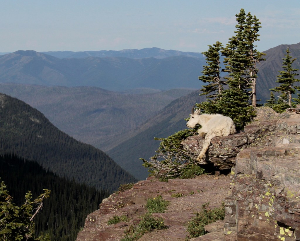
Mountain goat near Hidden Lake Overlook 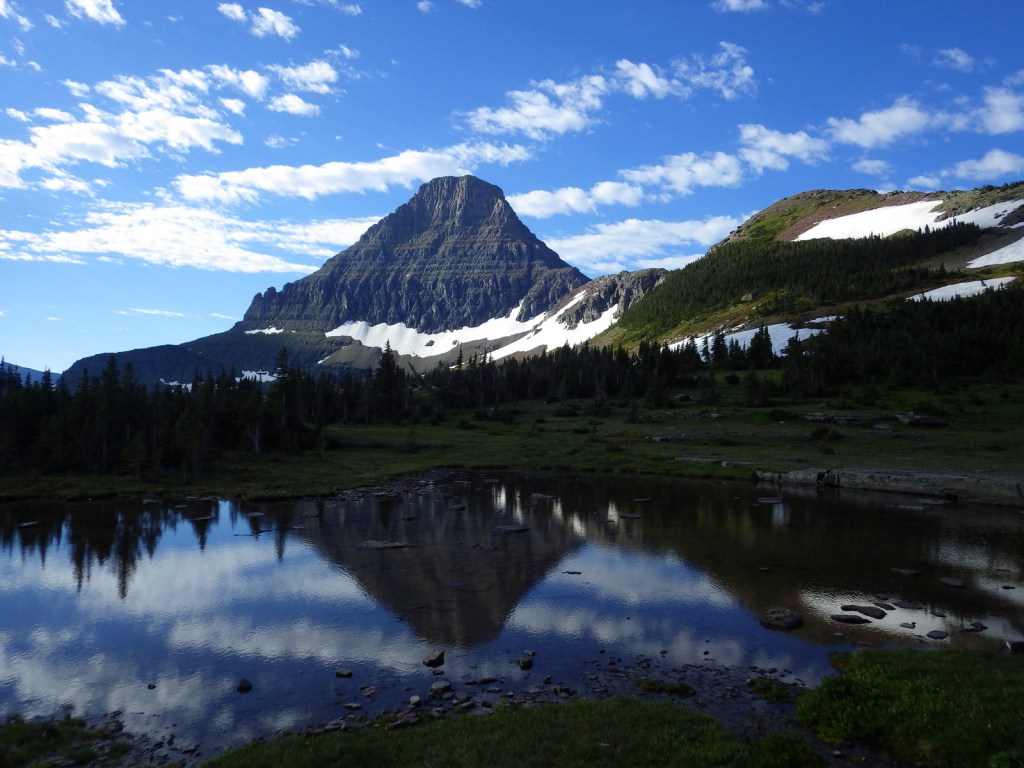
Bearhat Mountain near Logan Pass 
Hoary marmot 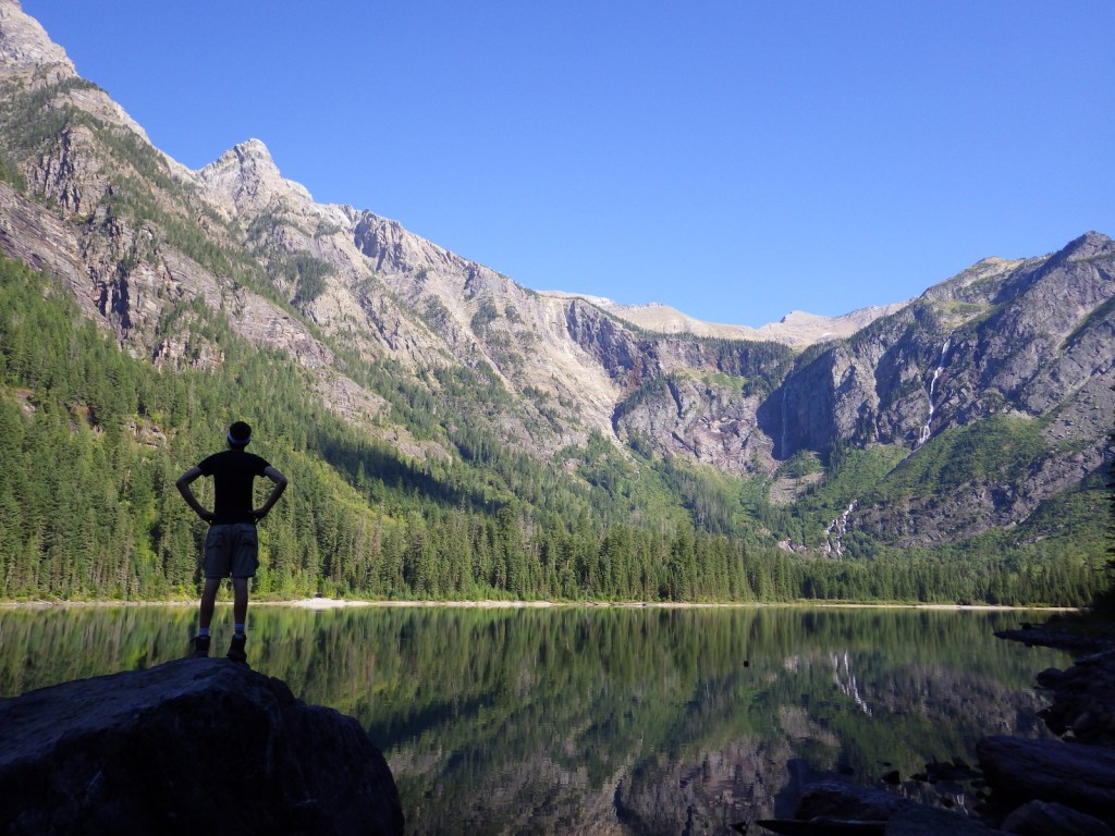
Scott at Avalanche Lake 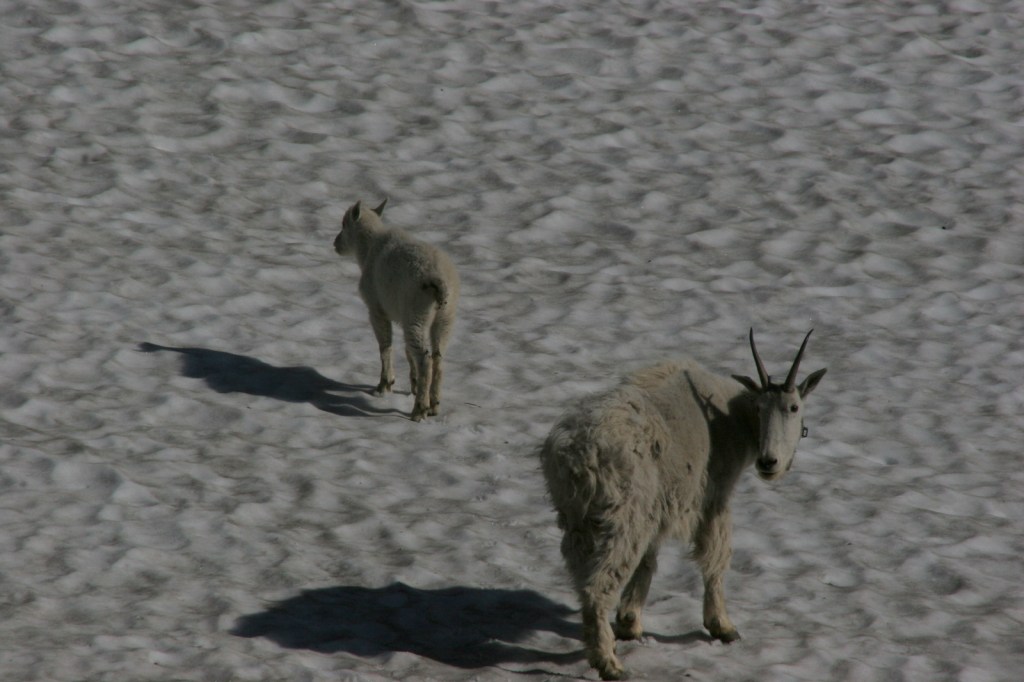
Mountain goats cooling off on the snowfield 
Lake McDonald 
Red Jammer Bus 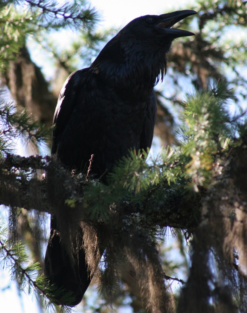
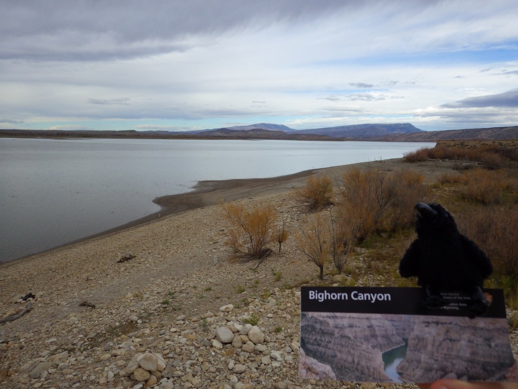
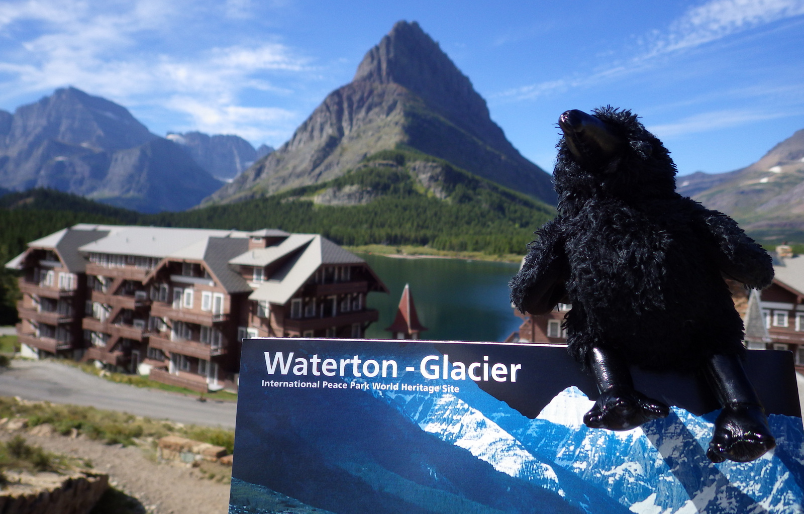
Raven about the park


Explore More – When were the iconic “red jammer” buses first introduced to the park?


We are a participant in the Amazon Services LLC Associates Program, an affiliate advertising program designed to provide a means for us to earn fees by linking to Amazon.com and affiliated sites.